GO HIKE COLORADO
Get in Touch:
  • HOME
  • ABOUT
  • HIKES BY REGION
    • DENVER AREA >
      • Denver Mountain Parks
      • Jefferson County Open Space
      • Lakewood Parks
      • Denver Area Greenways
    • BOULDER AREA
    • DOUGLAS COUNTY
    • FORT COLLINS AREA
    • COLORADO SPRINGS AREA
    • FRONT RANGE
    • TENMILE & MOSQUITO RANGES
    • GORE RANGE
    • SANGRE DE CRISTO MOUNTAINS
    • PARK RANGE
    • SAWATCH RANGE
    • ELK MOUNTAINS
    • SAN JUAN MOUNTAINS
    • THE FLAT TOPS
    • GRAND MESA
    • COLORADO PLATEAU
    • EASTERN PLAINS
  • NATIONAL PARK HIKES
    • BENT'S OLD FORT NATIONAL HISTORIC SITE
    • BLACK CANYON OF THE GUNNISON NATIONAL PARK
    • COLORADO NATIONAL MONUMENT
    • CURECANTI NATIONAL RECREATION AREA
    • DINOSAUR NATIONAL MONUMENT
    • FLORISSANT FOSSIL BEDS NATIONAL MONUMENT
    • MESA VERDE NATIONAL PARK
    • ROCKY MOUNTAIN NATIONAL PARK
    • GREAT SAND DUNES NATIONAL PARK
    • HOVENWEEP NATIONAL MONUMENT
    • SAND CREEK MASSACRE NATIONAL HISTORIC SITE
    • YUCCA HOUSE NATIONAL MONUMENT
  • HIKES BY CATEGORY
    • HIKES TO ALPINE LAKES
    • HIKES TO PEAKS & PASSES
    • HIKES THROUGH CANYONS
    • HIKES WITH FALL COLORS
    • HIKES ALONG THE I-70 CORRIDOR
    • HIKES ON PAVED TRAILS
    • HIKES FOR KIDS
    • HIKES TO WATERFALLS
    • HIKES ALONG RIVERS
    • HIKES WITH ROCK FORMATIONS
    • HIKES WITH WILDFLOWERS
    • WINTER HIKES
  • NEWS
  • WEBCAMS
  • $UPPORT GHC
  • INTERACTIVE MAP

Davidson Mesa Open Space

Date Hiked: April 5, 2015

Distance: 3.2 mi (RT)
Elevation Gain: 275ft
Elevation Min/Max:  5,591 to 5,688ft
Managing Agency: City of Louisville
Fee: None

Louisville Open Space Website
Picture

Directions:  From Boulder head east on 36 or from Denver take I25 North to 36 west.  Exit McCaslin Blvd north.  Head north on McCaslin for a few miles and Davidson Mesa Open Space will be on the left (west).  There is a small parking lot but if it is full you can park at Harper Lake just across McCaslin and walk through the pedestrian tunnel to the Davidson Mesa Trailhead.

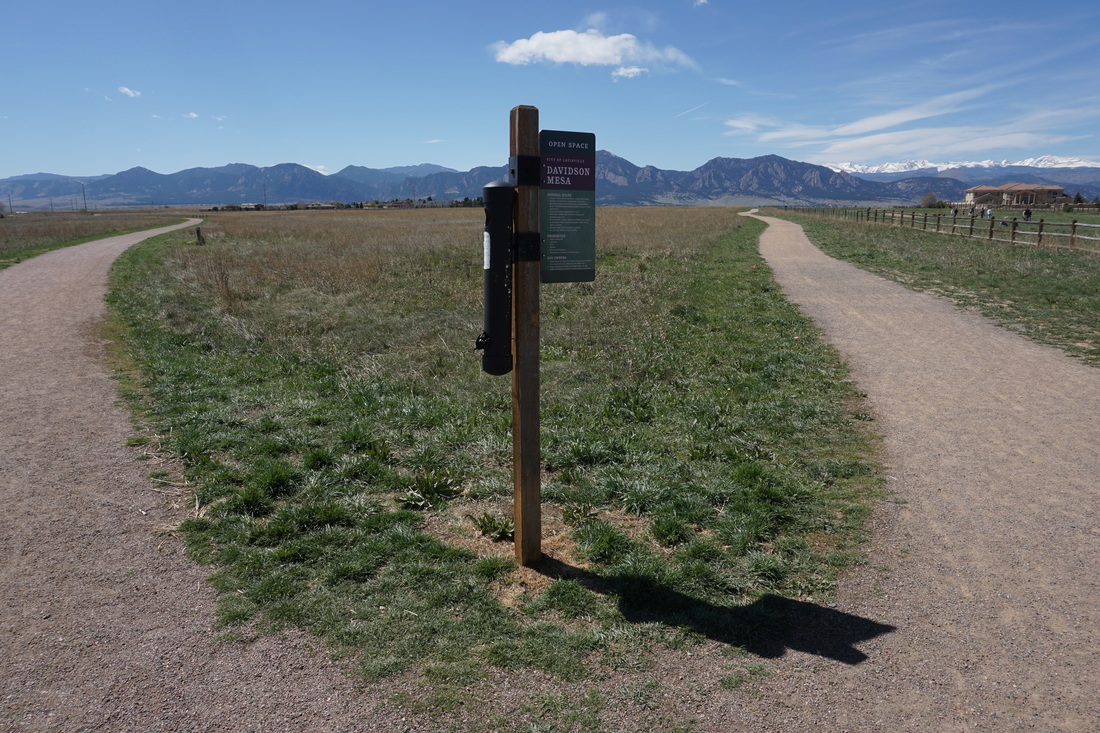
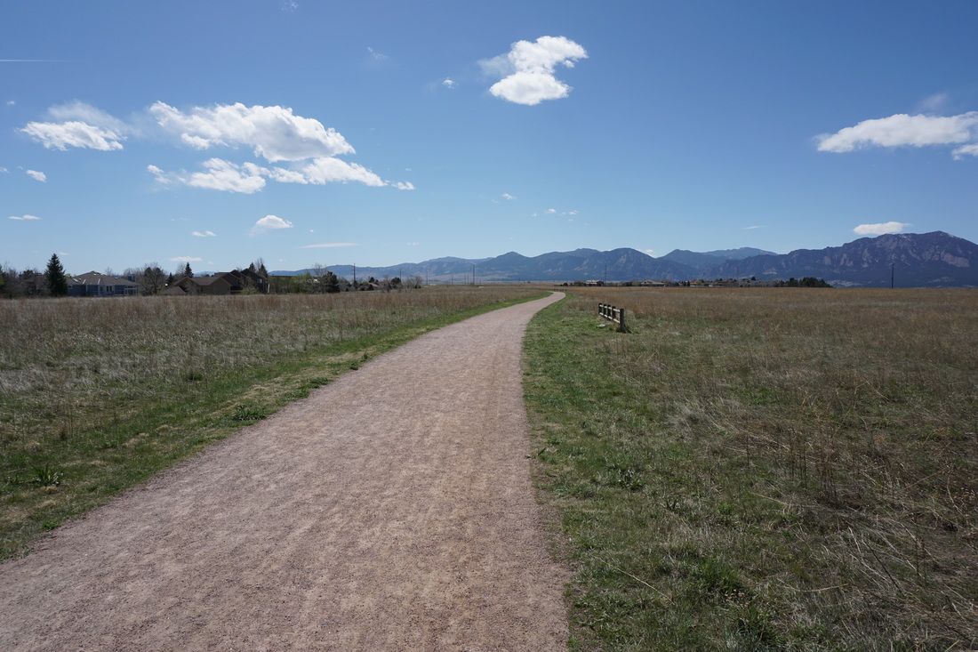
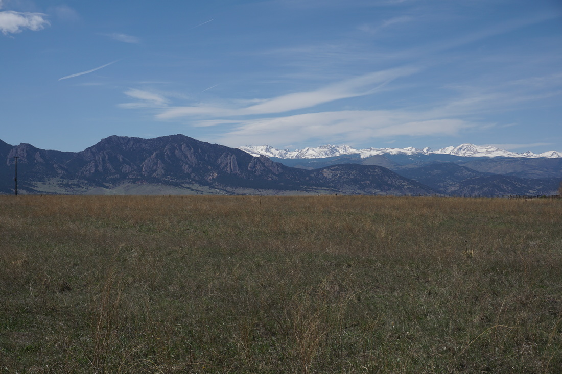
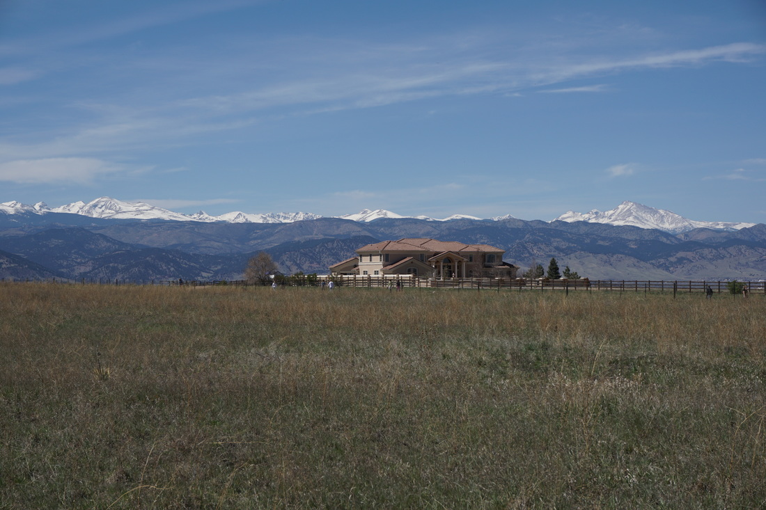
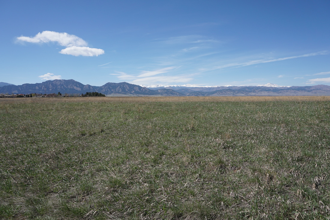
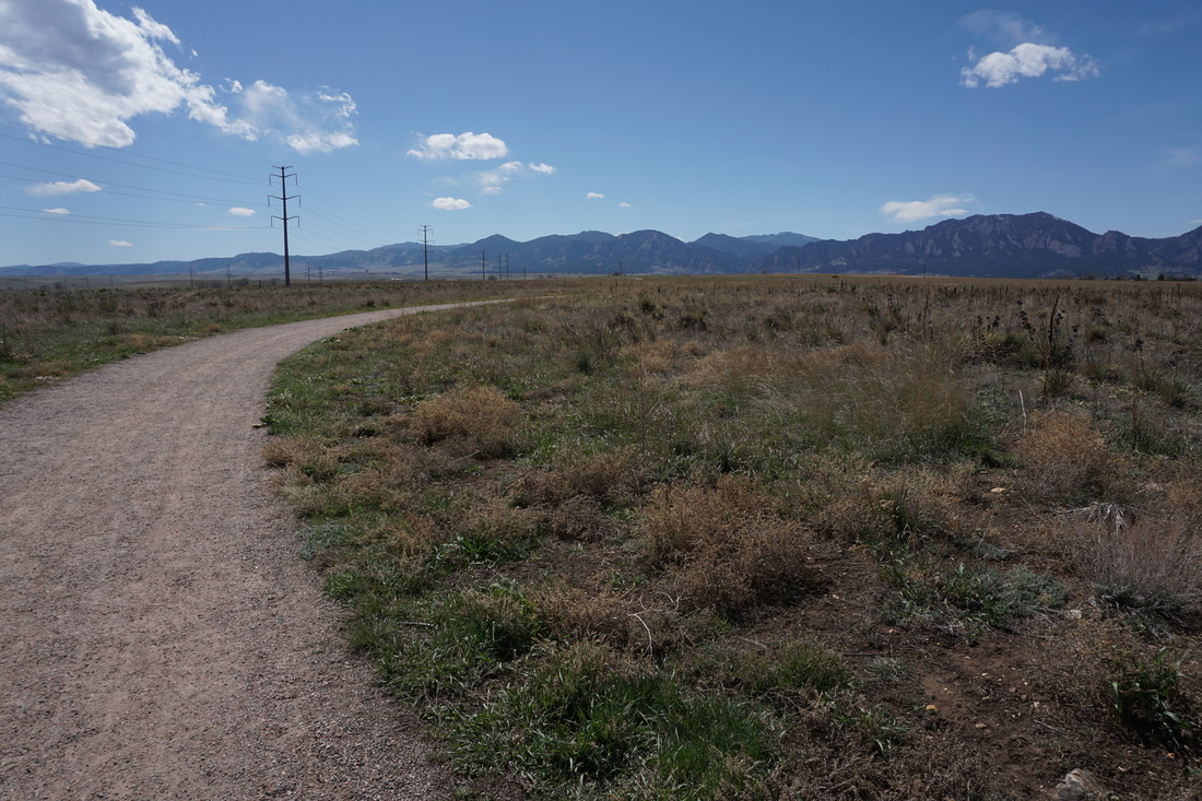
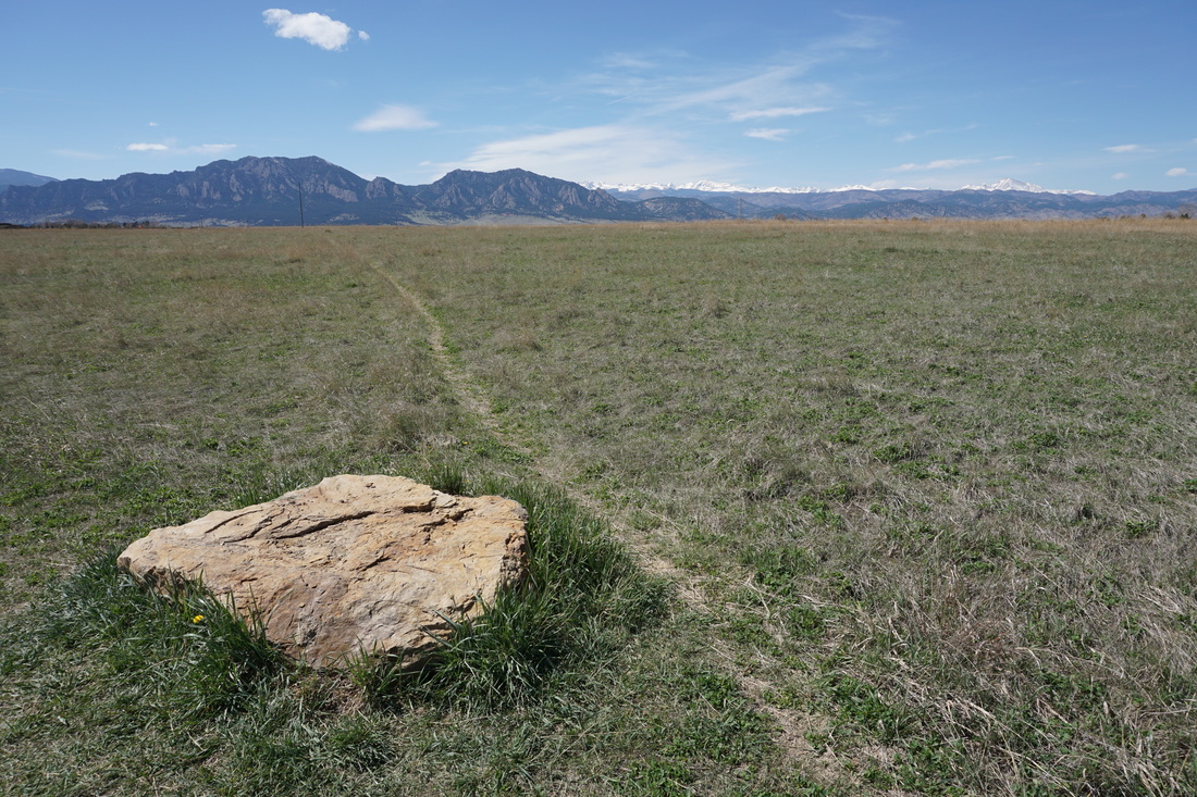
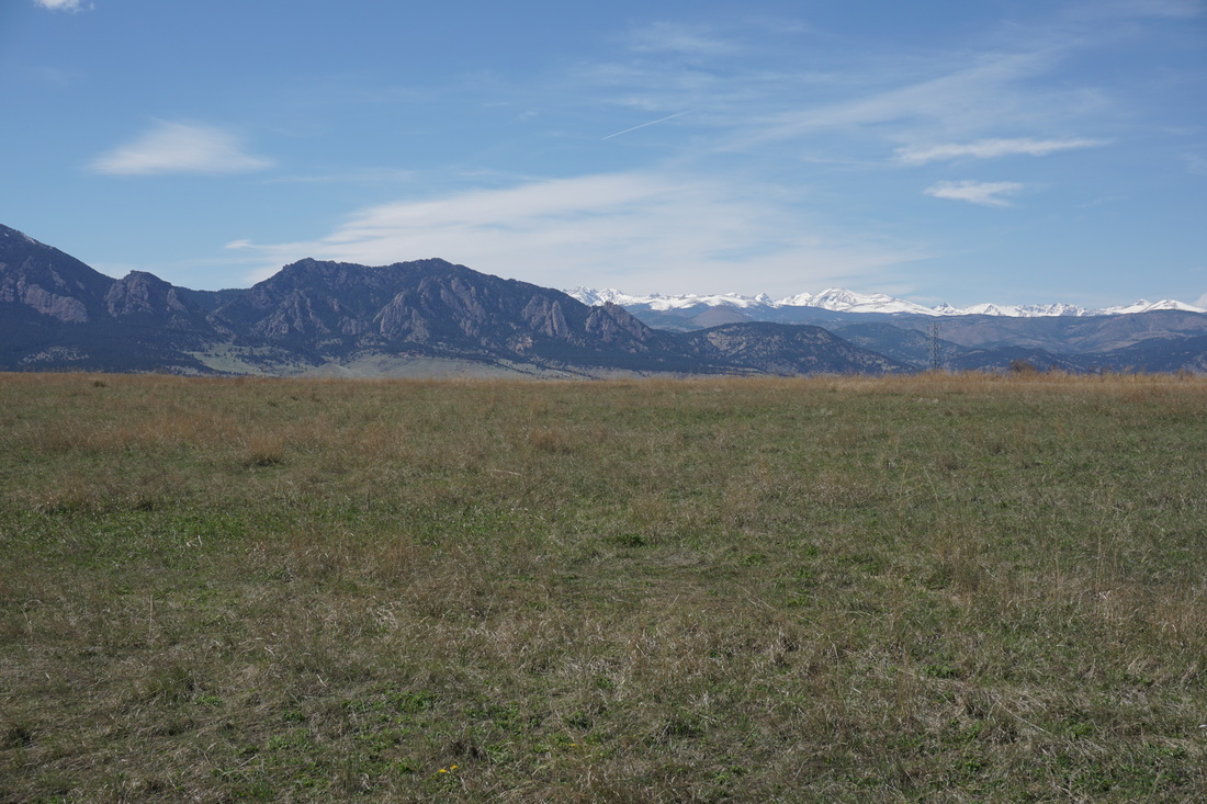
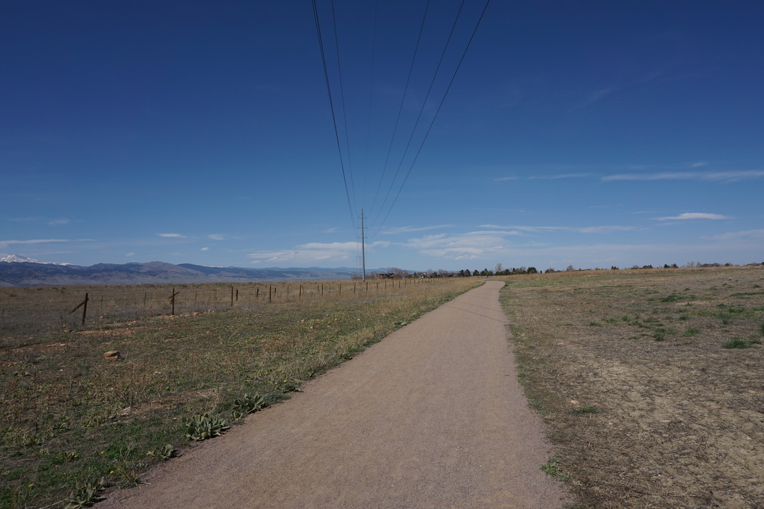
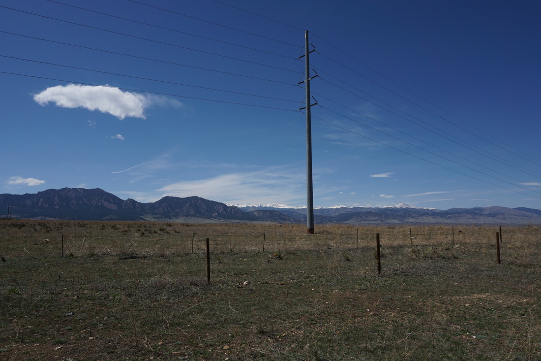
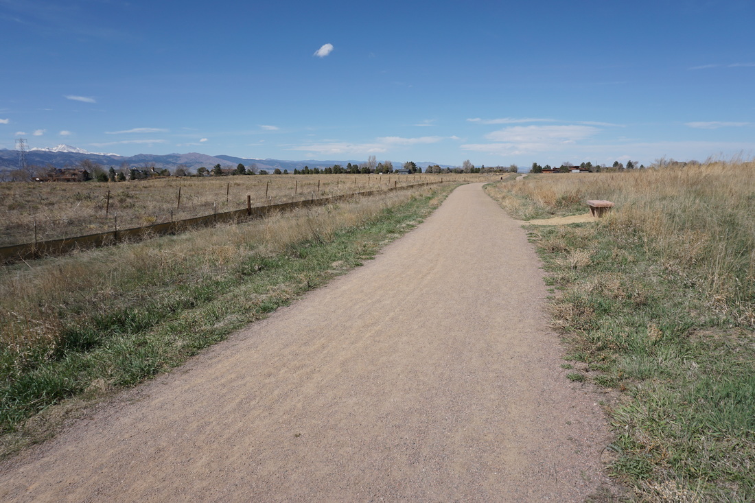
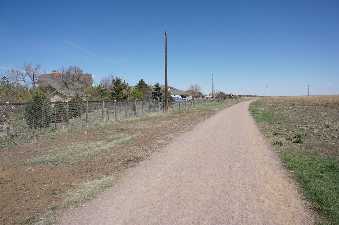
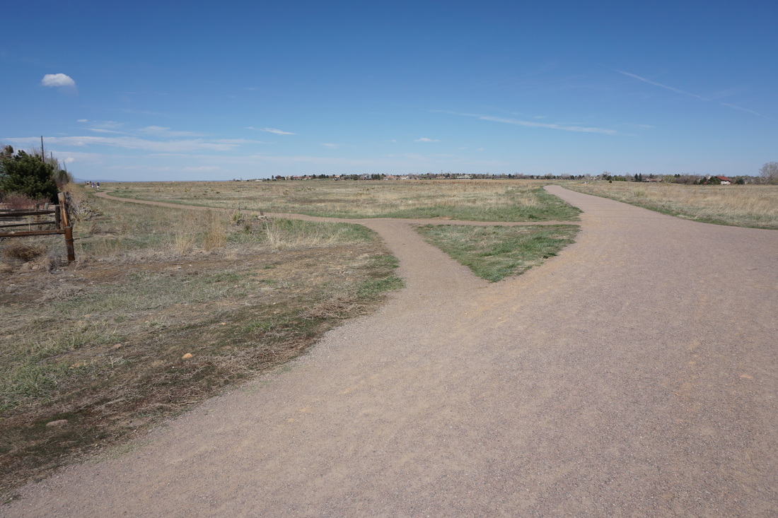
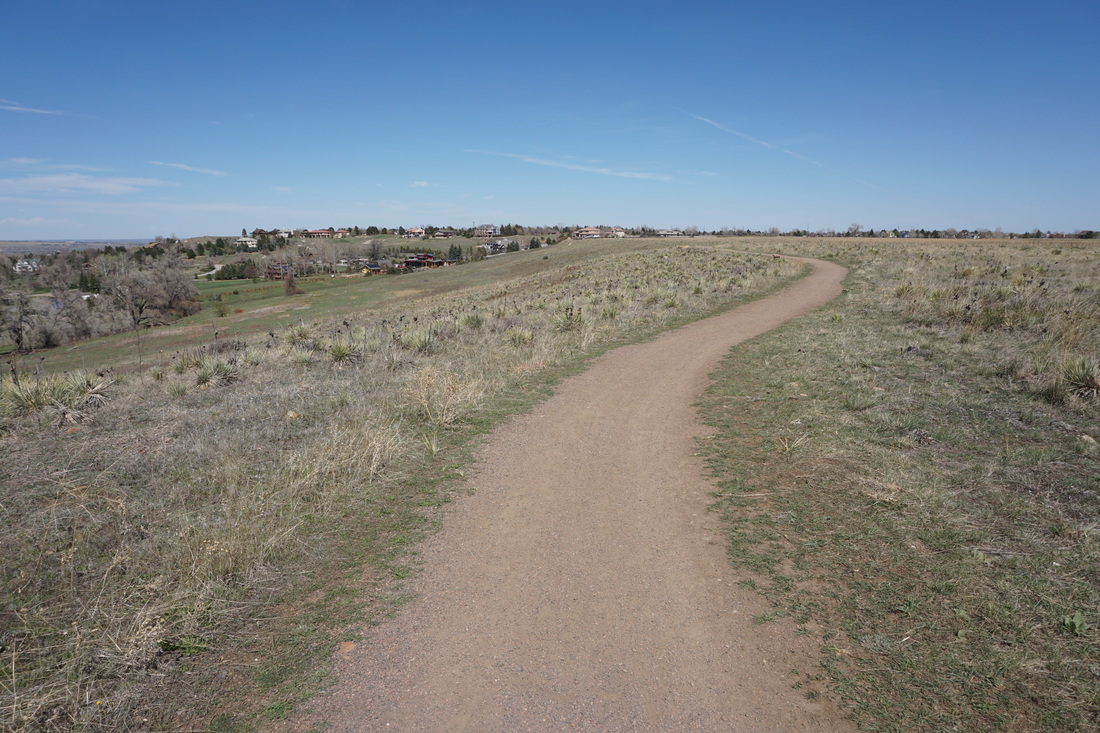
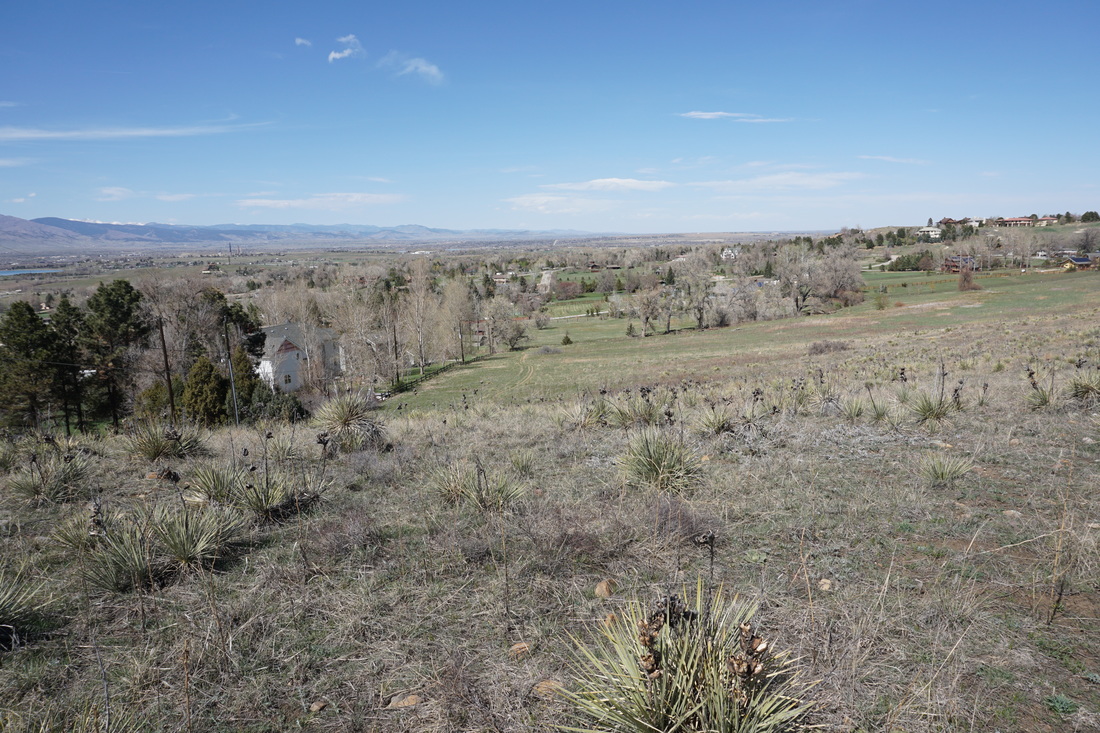
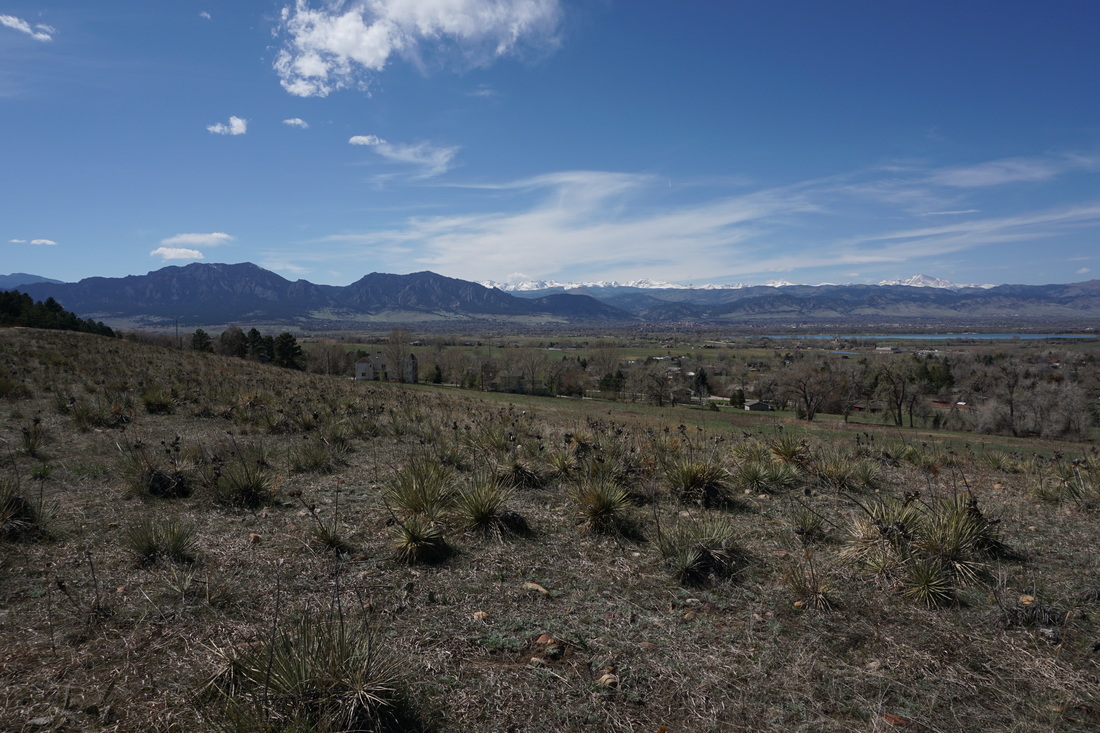
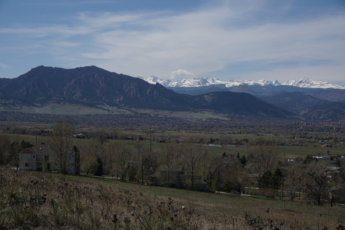
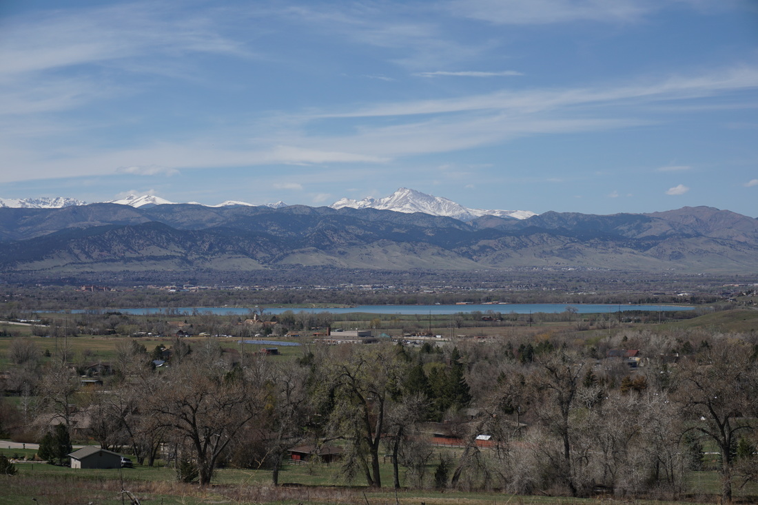
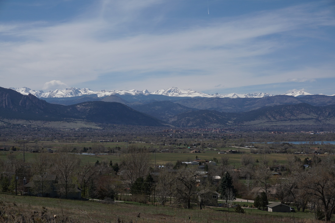
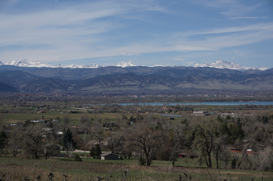
Davidson Mesa Open Space is a popular park among the Louisville residents.  On the weekends the park is full of hikers, walkers, bikers, and trail runners.  From the parking area there are enticing views of the Boulder Mountains and the Indian Peaks towering above.  The best views are from the trails just past the parking area, unfortunately the further you hike, the worse the views get. 

From the trailhead kiosk and map start off on the main trail.  Don’t take the trail to the far left (southern-most trail), the views are better from the middle trail.  Start hiking west among the grassy mesa top and enjoy the wonderful views.  You can see the Boulder Flatirons, S. Boulder Peak, Bear Peak, Green Mountain, Eldorado Mountain, and behind some 7,000ft higher, the snowy Indian Peaks and Longs Peak are in clear view.

As you continue to hike west you’ll come to a trail junction, turn left and head south towards the open space boundary fence, the trail turns to the right and continues west towards Hwy 36.  From here power lines and suburban development start to erode the views.  Follow as the trail turns north and then back east skirting the edge of the housing development.  Turn left at the next junction, heading north, as the trail turns back east, there is a faint trail that heads down the mesa to a stand of trees and farmland, the trail then meets back up with the main trail.  I did not take this trail, but it looks very nice.  If you stay on the mesa top you get some of the best views in the park.  Follow the trail to the dog park and back to the trailhead.    

© Go Hike Colorado, 2020.  All Rights Reserved. 
Use of photographs without prior authorization is
​strictly prohibited.


Contact us at:
[email protected]
Legal Disclaimer - Information provided on this site is based upon our own observations, always double check information with the appropriate land management agency before heading into the backcountry.  Backcountry travel is inherently dangerous, please take all proper precautions.  Go Hike Colorado is not responsible for injury or incident.