|
Directions: From Boulder, take 119 west to Nederland. Head north on 72 from Nederland for about 3 miles, when you see the sign for Caribou Ranch Open Space, turn left on the good dirt road. Follow this road past the turn off for Mud Lake and continue to the Caribou Ranch Parking Area.
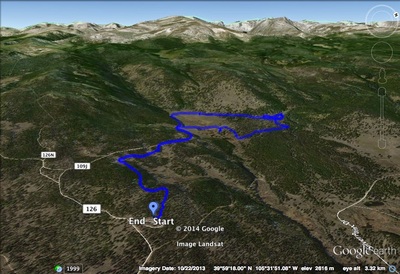
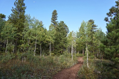
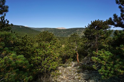
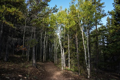
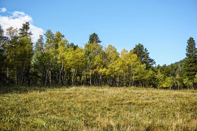
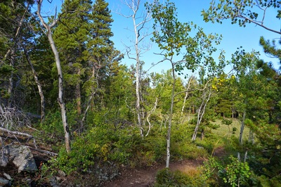
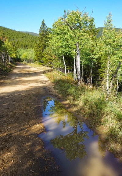
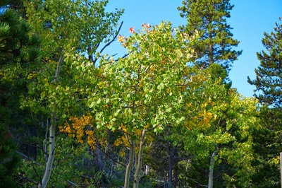
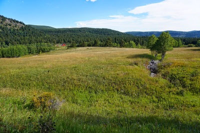
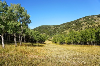
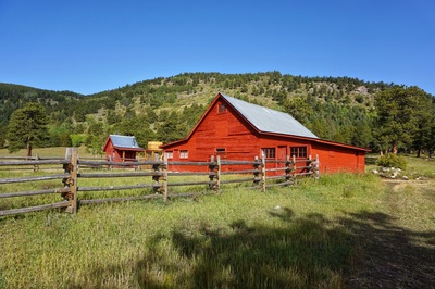
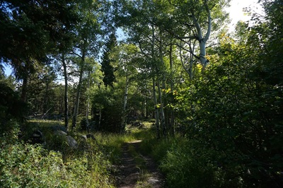
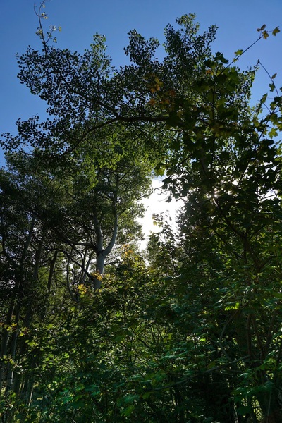
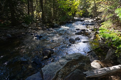
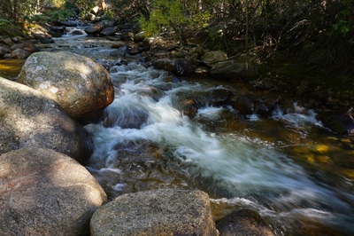
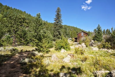
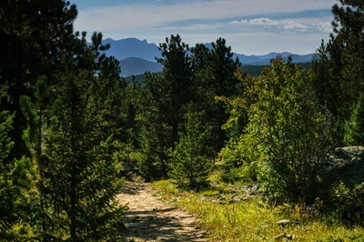
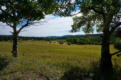
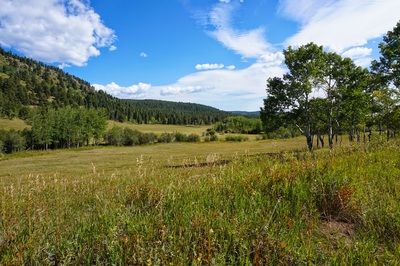
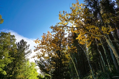
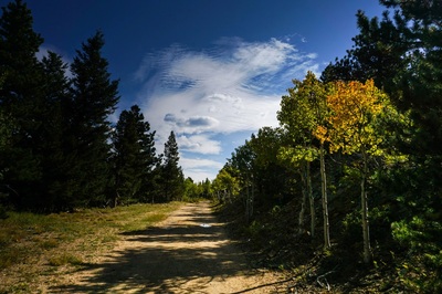
Caribou Ranch is a beautiful ranch property situated just east of the Indian Peak Wilderness. Nestled in among Pine and Aspen trees, the ranch property offers a peaceful, relaxing hike or a moderate snowshoe trail in the winter. This is not the park to go to if you are seeking alpine vistas or granite peaks. Rather, this is the hike for rolling meadows, Fall color Aspens, and historic ranch houses. From the parking area you head down the DeLonde Trail and almost immediately come to a nice viewpoint. The round mountain in the distance is the only Indian Peaks view from this hike. Head down along a wide dirt path lined by Aspens...pretty much this whole hike is lined by Aspens. After 1.2 miles you'll come to an expansive meadow with the DeLonde Homestead property visible at the far end. This is where you start the 1.8 mile Blue Bird Trail. The trail visits the ranch property and weaves through the rocky pine and aspen forest. There are a number of short diversions along the way, all of which are worth the extra few minutes. First, you can explore the DeLonde Homestead and visit the overlook which views the willows and a marshy pond. The Second diversion is a wood staircase leading down to North Boulder Creek. Lastly, you can explore the Bluebird Mine Complex which contains several old buildings and the remains of a mining operation. After the loop concludes along yet another Aspen lined path, head back up the DeLonde Trail to the parking area. Take your time hiking this park as it is truly is a relaxing environment. It's easy to see why this would be a treasured ranch and homestead, happily, we all get to enjoy it. |
- HOME
- ABOUT
-
HIKES BY REGION
-
NATIONAL PARK HIKES
- BENT'S OLD FORT NATIONAL HISTORIC SITE
- BLACK CANYON OF THE GUNNISON NATIONAL PARK
- COLORADO NATIONAL MONUMENT
- CURECANTI NATIONAL RECREATION AREA
- DINOSAUR NATIONAL MONUMENT
- FLORISSANT FOSSIL BEDS NATIONAL MONUMENT
- MESA VERDE NATIONAL PARK
- ROCKY MOUNTAIN NATIONAL PARK
- GREAT SAND DUNES NATIONAL PARK
- HOVENWEEP NATIONAL MONUMENT
- SAND CREEK MASSACRE NATIONAL HISTORIC SITE
- YUCCA HOUSE NATIONAL MONUMENT
- HIKES BY CATEGORY
- NEWS
- WEBCAMS
- $UPPORT GHC
- INTERACTIVE MAP
Blue Bird & DeLonde Loops
Caribou Ranch Open Space
Date Hiked: September 14, 2014
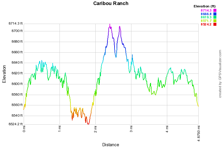
Distance: 4.8 mi (RT)
Elevation Gain: 450ft
Elevation Min/Max: 8,527 to 8,717ft
Managing Agency: Boulder County Open Space
Fee: None:

