|
DIRECTIONS: From Nederland, CO, head north out of town on Hwy 72 (Peak to Peak Highway) for only about a mile. Turn left on Indian Peaks Drive and look for the trailhead on the right.
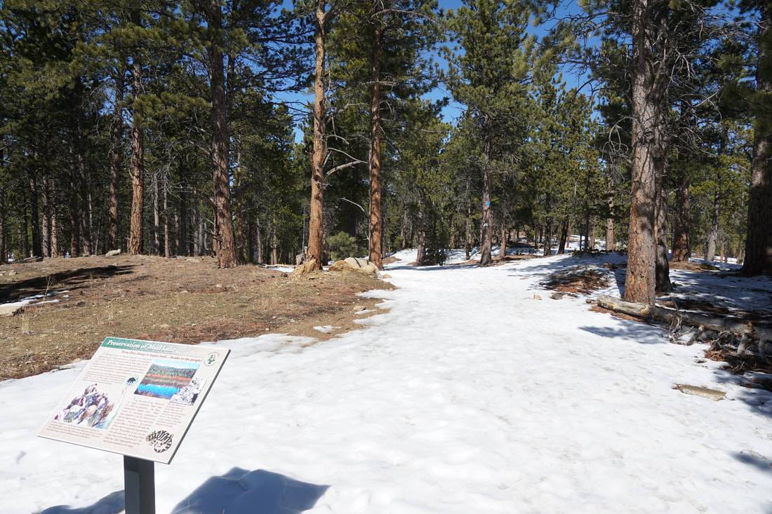
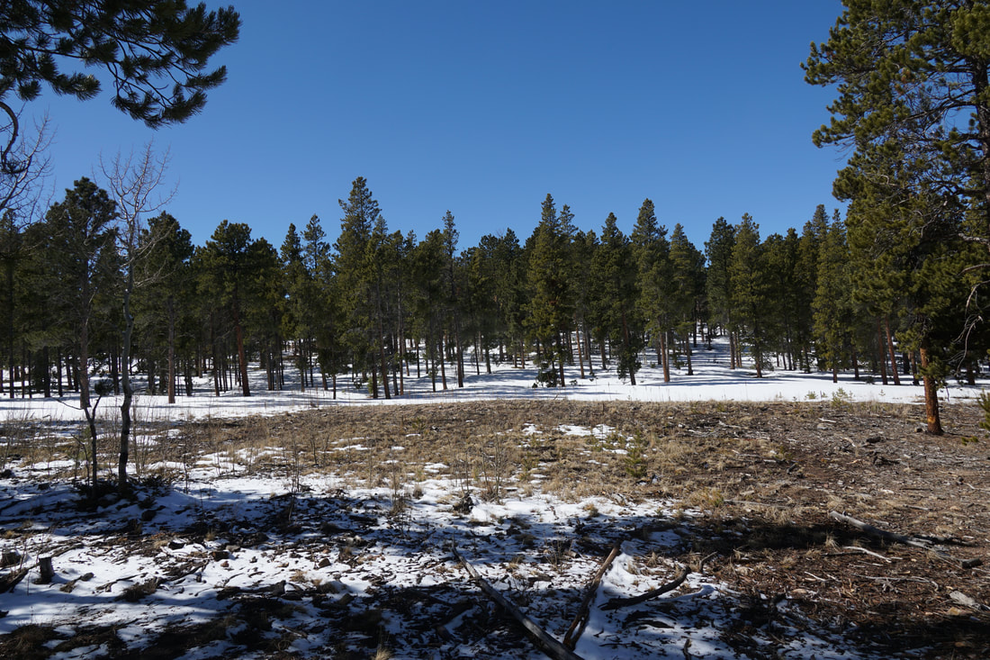
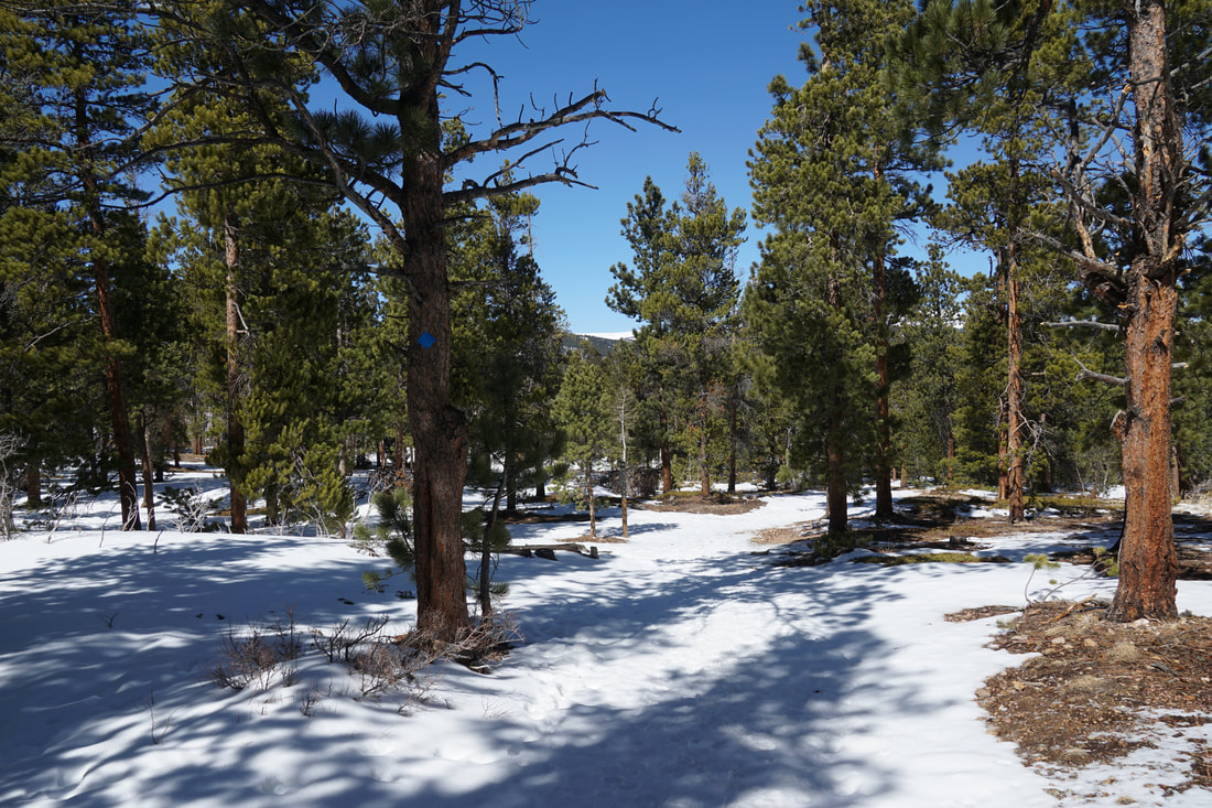
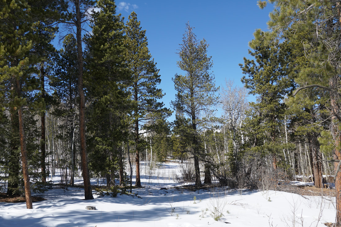
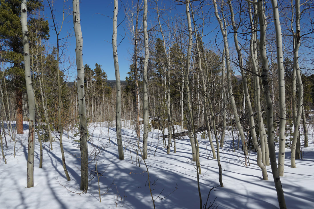
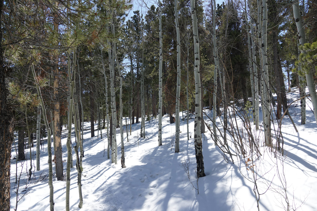
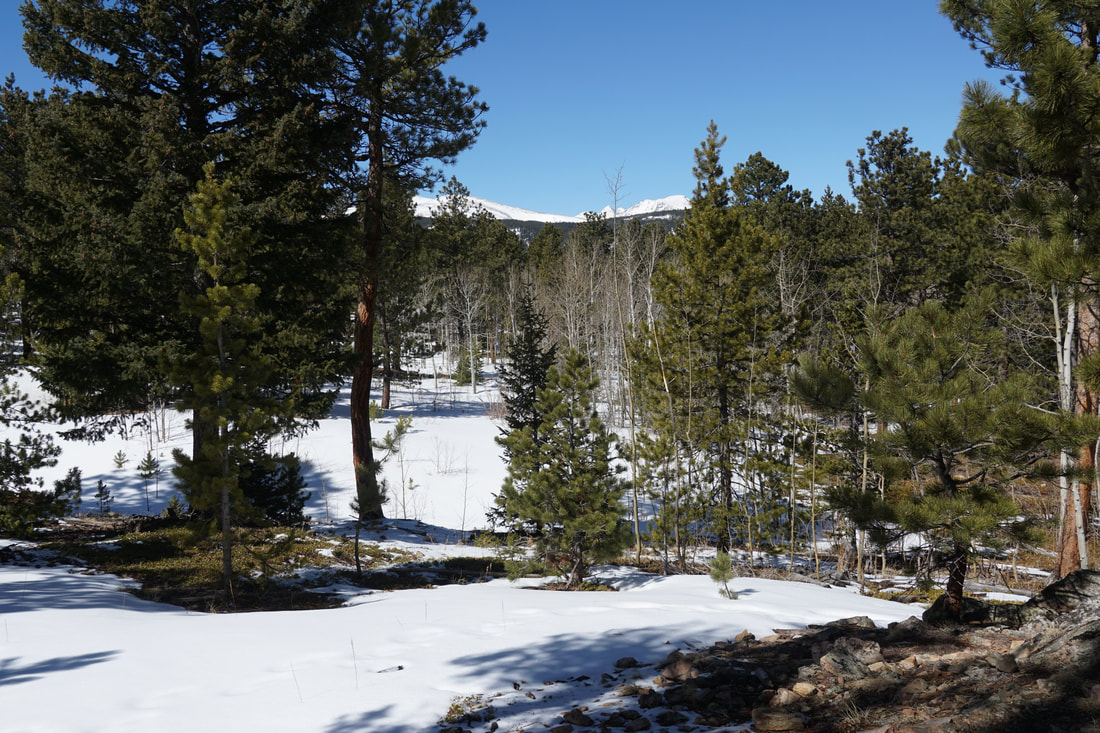
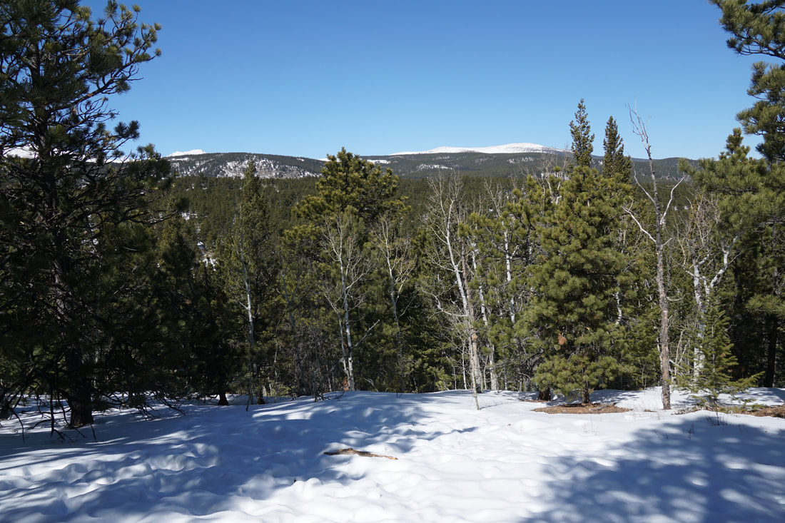
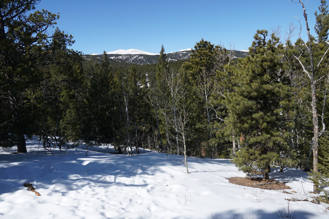
The Kinnickinnick Loop is a beautiful and relatively easy alpine forest hike with some nice views of the Indian Peaks to the west. The loop is perfect for kids in any season but in the winter it makes for a great introduction to snowshoeing. This area typically gets a good deal of snow and the forest holds on to the snow late into the winter.
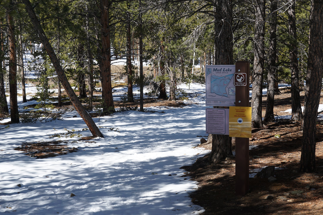
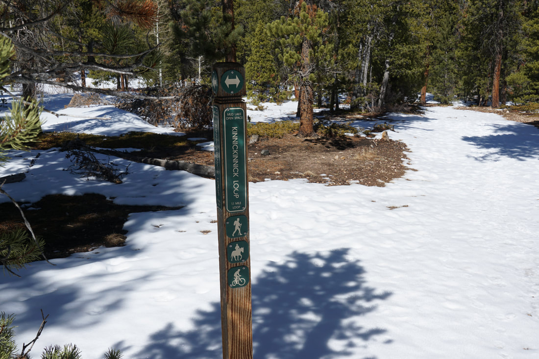
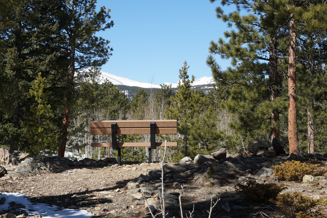
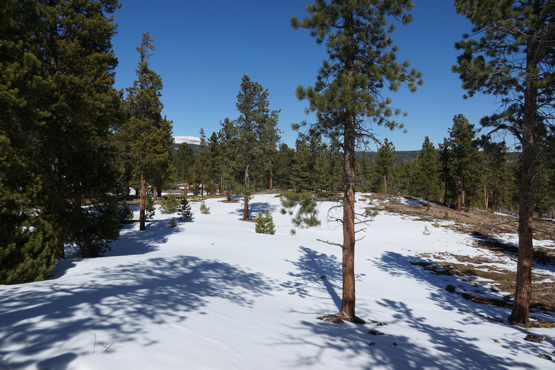
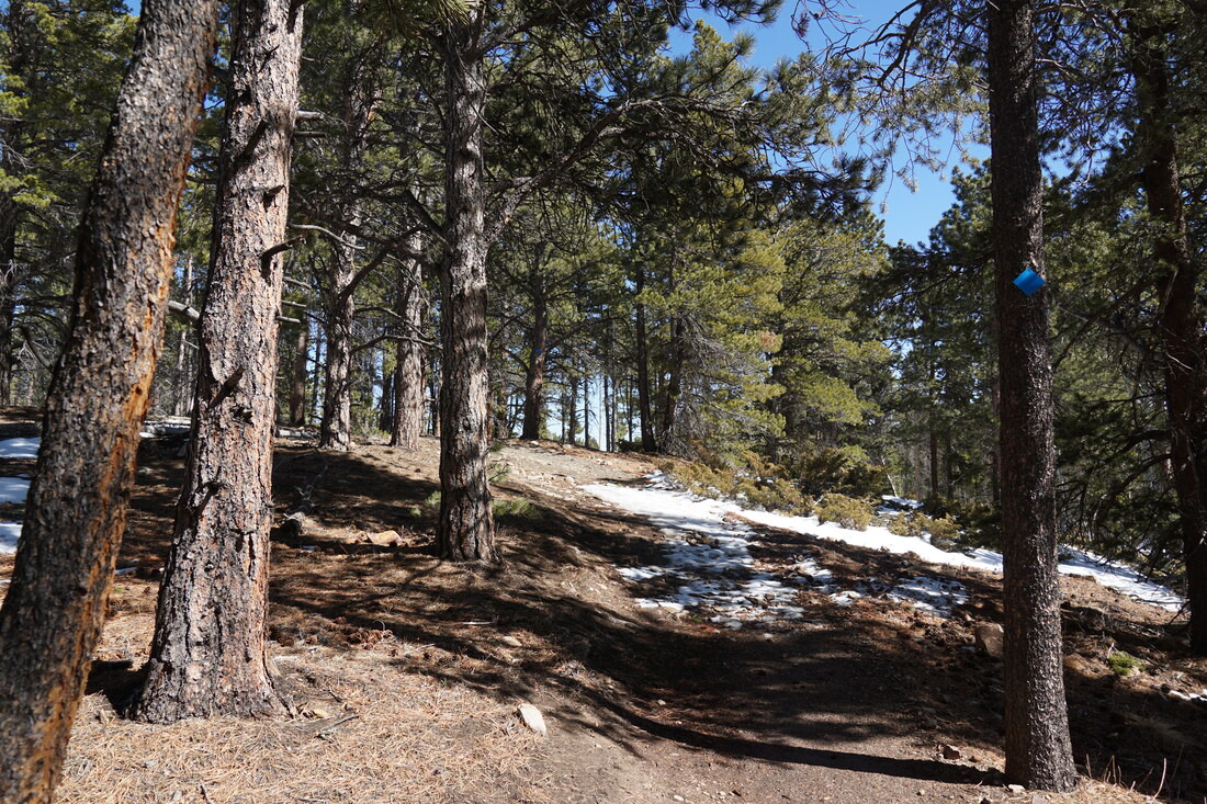
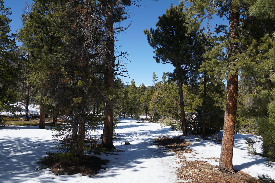
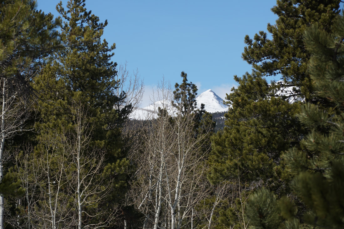
The park has two loops, the other being the Tungsten Loop, or you can combine the two loops for a longer hike. The main trailhead is located on the northern end of the park and accesses the Tungsten Loop so if you just want to hike the Kinnickinnick Loop, then you should start from the the southern trailhead off of Indian Peaks Drive. The hike is easy to follow, but there are some neighborhood access trails so be sure to stay on the main trail. The trail weaves through pine and aspen forest (should be a nice fall hike) with little to no major elevation gains or losses. Half a mile from the trailhead is a nice viewpoint with a bench and a view of the Indian Peaks popping up above the treeline. From the viewpoint the trail turns to the east for .4 miles to the junction with the Tungsten Loop. Turn south here and continue for a quarter mile back to the start of the loop and the trail to the southern trailhead. Overall this is a nice, easy hike and has a lot to offer in any season. It's proximity to Nederland and Boulder make it a good destination for a half day adventure in the Front Range mountains. |
|
- HOME
- ABOUT
-
HIKES BY REGION
-
NATIONAL PARK HIKES
- BENT'S OLD FORT NATIONAL HISTORIC SITE
- BLACK CANYON OF THE GUNNISON NATIONAL PARK
- COLORADO NATIONAL MONUMENT
- CURECANTI NATIONAL RECREATION AREA
- DINOSAUR NATIONAL MONUMENT
- FLORISSANT FOSSIL BEDS NATIONAL MONUMENT
- MESA VERDE NATIONAL PARK
- ROCKY MOUNTAIN NATIONAL PARK
- GREAT SAND DUNES NATIONAL PARK
- HOVENWEEP NATIONAL MONUMENT
- SAND CREEK MASSACRE NATIONAL HISTORIC SITE
- YUCCA HOUSE NATIONAL MONUMENT
- HIKES BY CATEGORY
- NEWS
- WEBCAMS
- $UPPORT GHC
- INTERACTIVE MAP
Kinnickinnick Loop
Mud Lake Open Space
Date Hiked: March 5, 2021
Distance: 1.4 mi (RT)
Elevation Gain: 220 ft
Elevation:8,500 ft
Managing Agency: Boulder County Open Space
Fee: None