GO HIKE COLORADO
Get in Touch:
  • HOME
  • ABOUT
  • HIKES BY REGION
    • DENVER AREA >
      • Denver Mountain Parks
      • Jefferson County Open Space
      • Lakewood Parks
      • Denver Area Greenways
    • BOULDER AREA
    • DOUGLAS COUNTY
    • FORT COLLINS AREA
    • COLORADO SPRINGS AREA
    • FRONT RANGE
    • TENMILE & MOSQUITO RANGES
    • GORE RANGE
    • SANGRE DE CRISTO MOUNTAINS
    • PARK RANGE
    • SAWATCH RANGE
    • ELK MOUNTAINS
    • SAN JUAN MOUNTAINS
    • THE FLAT TOPS
    • GRAND MESA
    • COLORADO PLATEAU
    • EASTERN PLAINS
  • NATIONAL PARK HIKES
    • BENT'S OLD FORT NATIONAL HISTORIC SITE
    • BLACK CANYON OF THE GUNNISON NATIONAL PARK
    • COLORADO NATIONAL MONUMENT
    • CURECANTI NATIONAL RECREATION AREA
    • DINOSAUR NATIONAL MONUMENT
    • FLORISSANT FOSSIL BEDS NATIONAL MONUMENT
    • MESA VERDE NATIONAL PARK
    • ROCKY MOUNTAIN NATIONAL PARK
    • GREAT SAND DUNES NATIONAL PARK
    • HOVENWEEP NATIONAL MONUMENT
    • SAND CREEK MASSACRE NATIONAL HISTORIC SITE
    • YUCCA HOUSE NATIONAL MONUMENT
  • HIKES BY CATEGORY
    • HIKES TO ALPINE LAKES
    • HIKES TO PEAKS & PASSES
    • HIKES THROUGH CANYONS
    • HIKES WITH FALL COLORS
    • HIKES ALONG THE I-70 CORRIDOR
    • HIKES ON PAVED TRAILS
    • HIKES FOR KIDS
    • HIKES TO WATERFALLS
    • HIKES ALONG RIVERS
    • HIKES WITH ROCK FORMATIONS
    • HIKES WITH WILDFLOWERS
    • WINTER HIKES
  • NEWS
  • WEBCAMS
  • $UPPORT GHC
  • INTERACTIVE MAP

Flagstaff Mt. - Tenderfoot Trail
Boulder Mountain Park

Date Hiked: March 29, 2013

Distance: 2.7 mi (RT)
Elevation Gain: 500ft
Elevation Min/Max: 6,281 to 6,771ft
Managing Agency: City of Boulder Open Space & Mountain Parks
Fee: Yes

Flagstaff Mountain Trail Map
Picture

Directions:  This trail starts at the Realization Point Trailhead which is just off of Flagstaff Road.  From Boulder take baseline road west and enter the Boulder Mountain Park.  Zigzag up Flagstaff Road until you get to the Realization Point Parking area and trailhead.

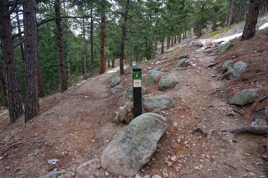
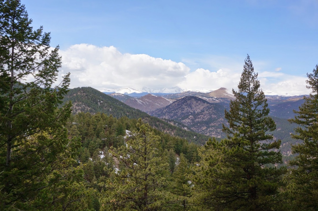
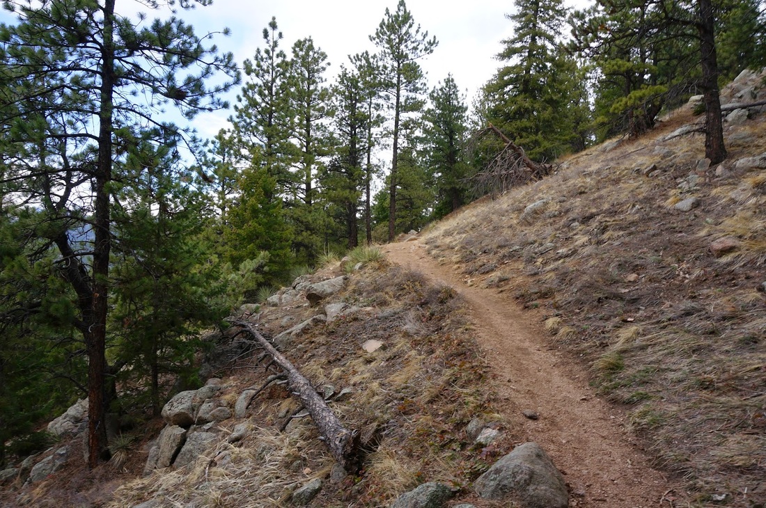
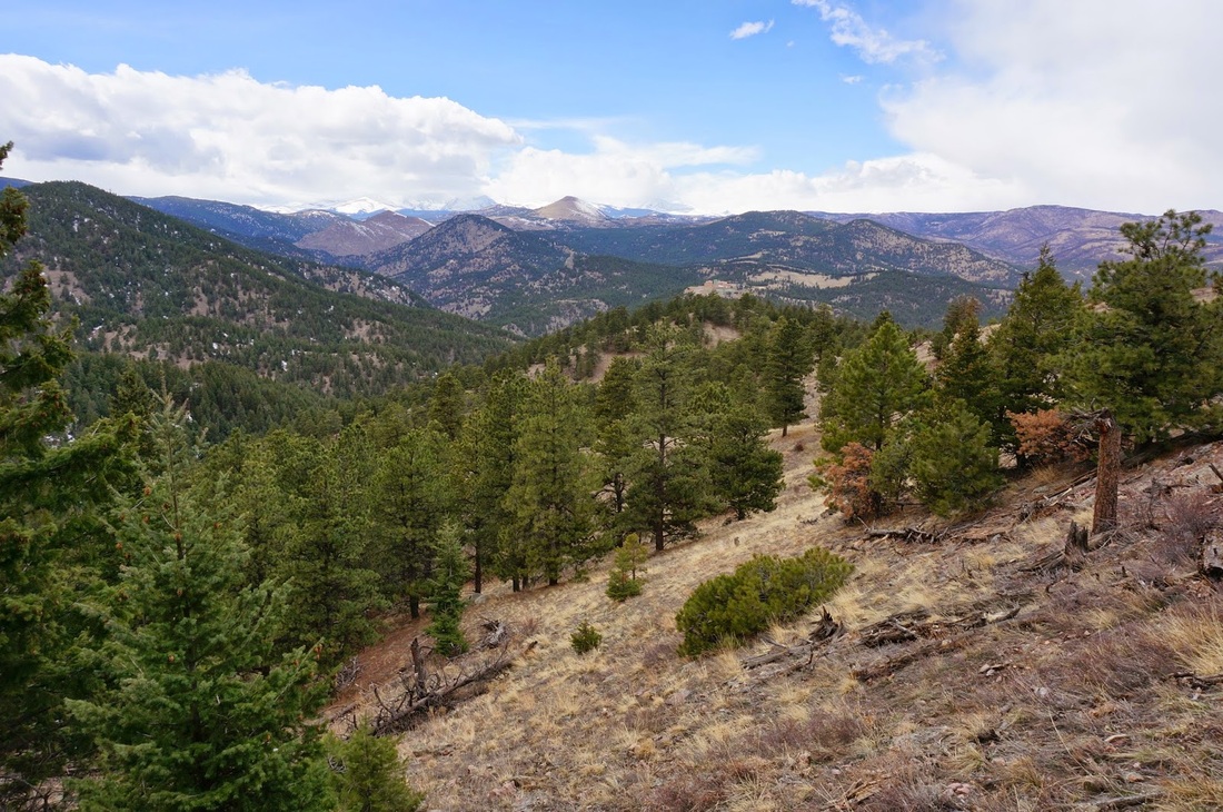
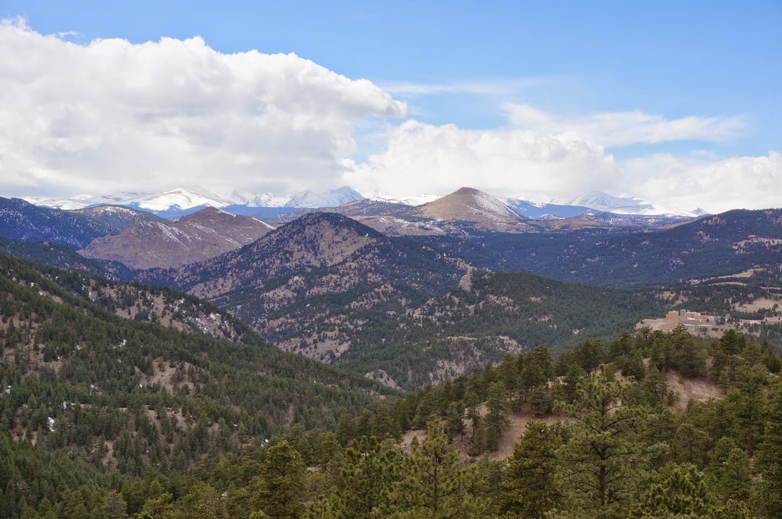
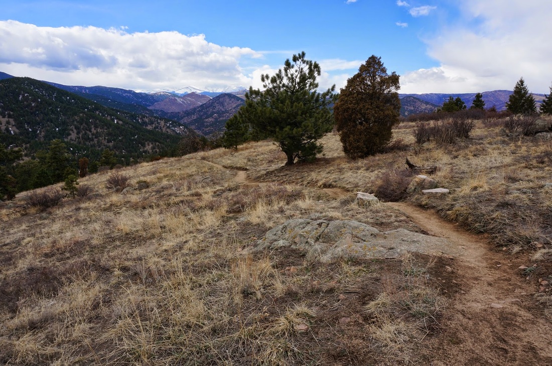
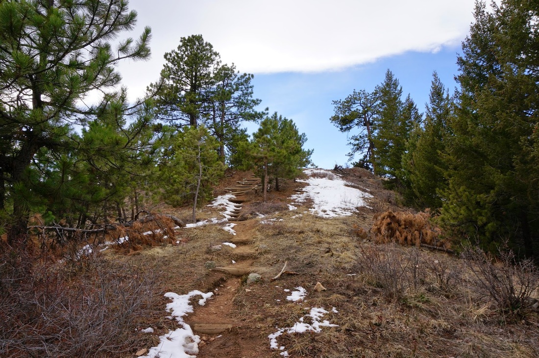
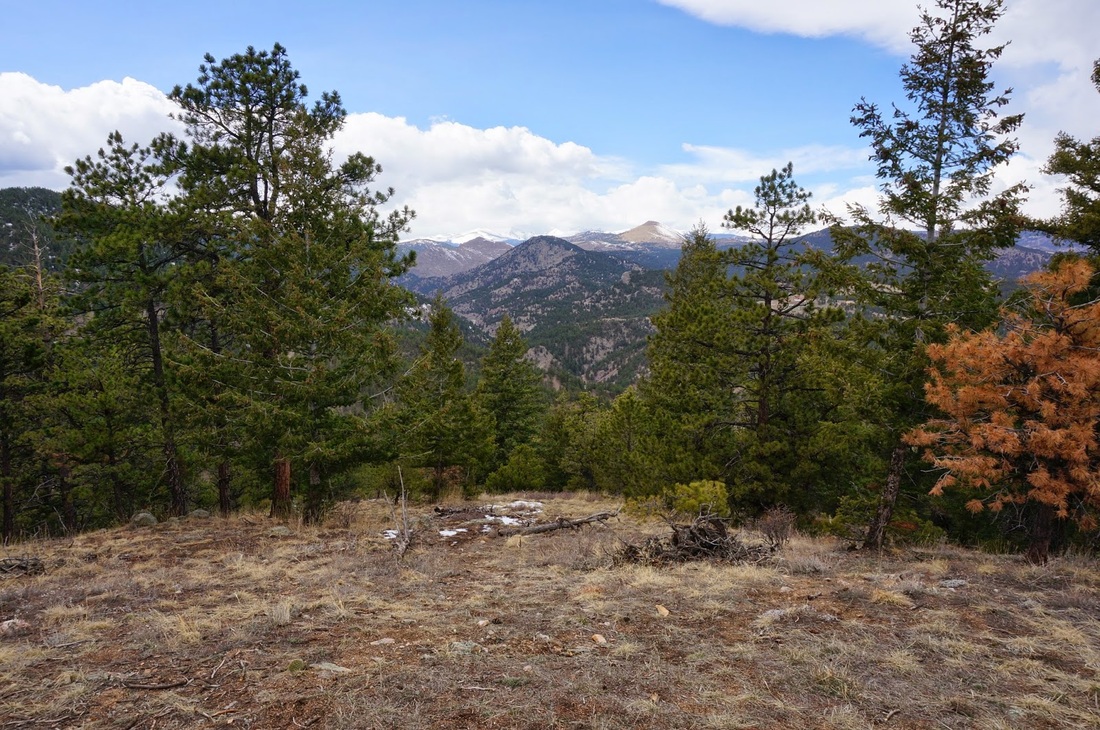
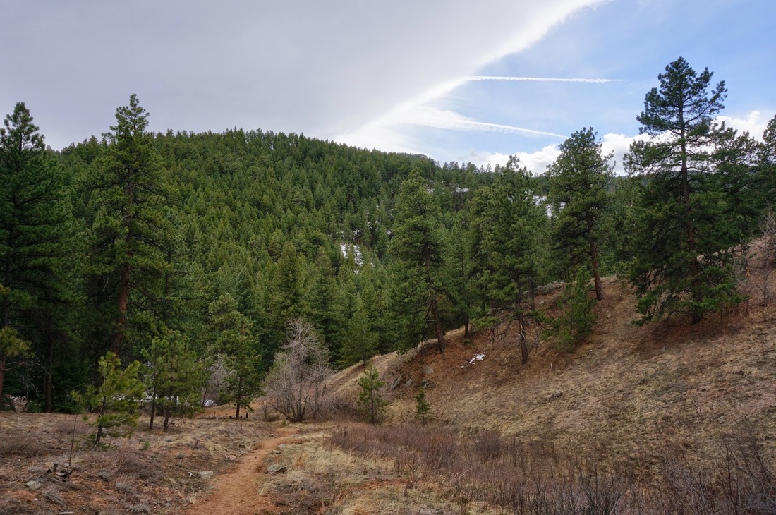
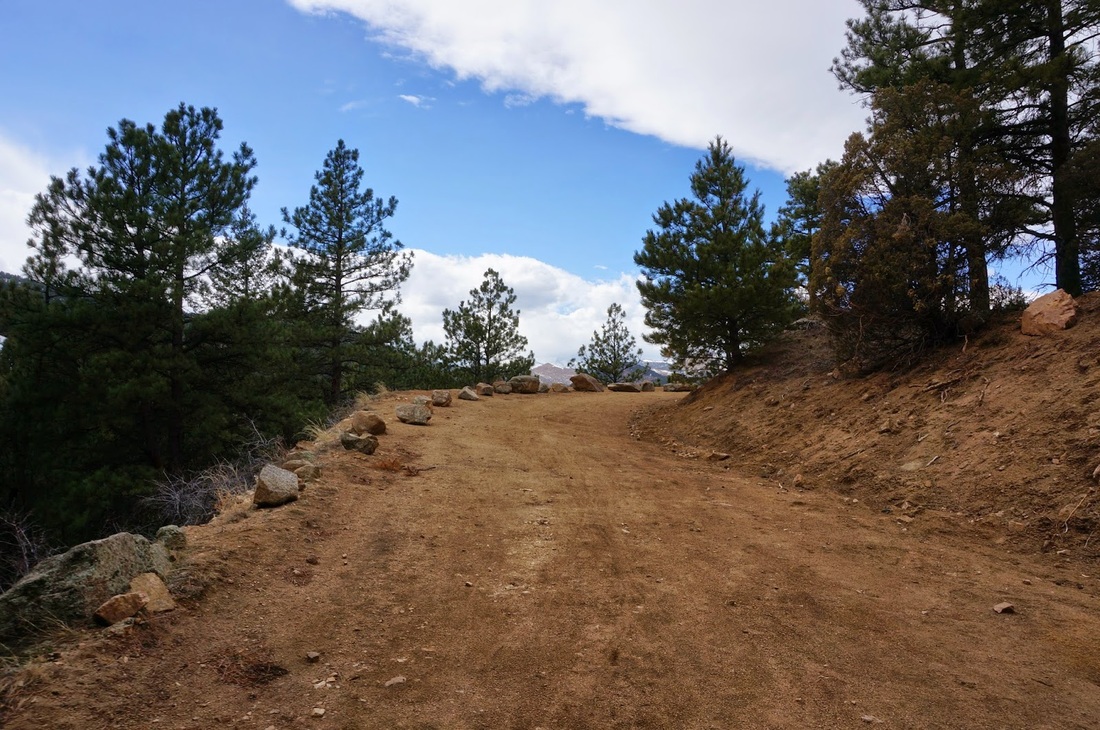
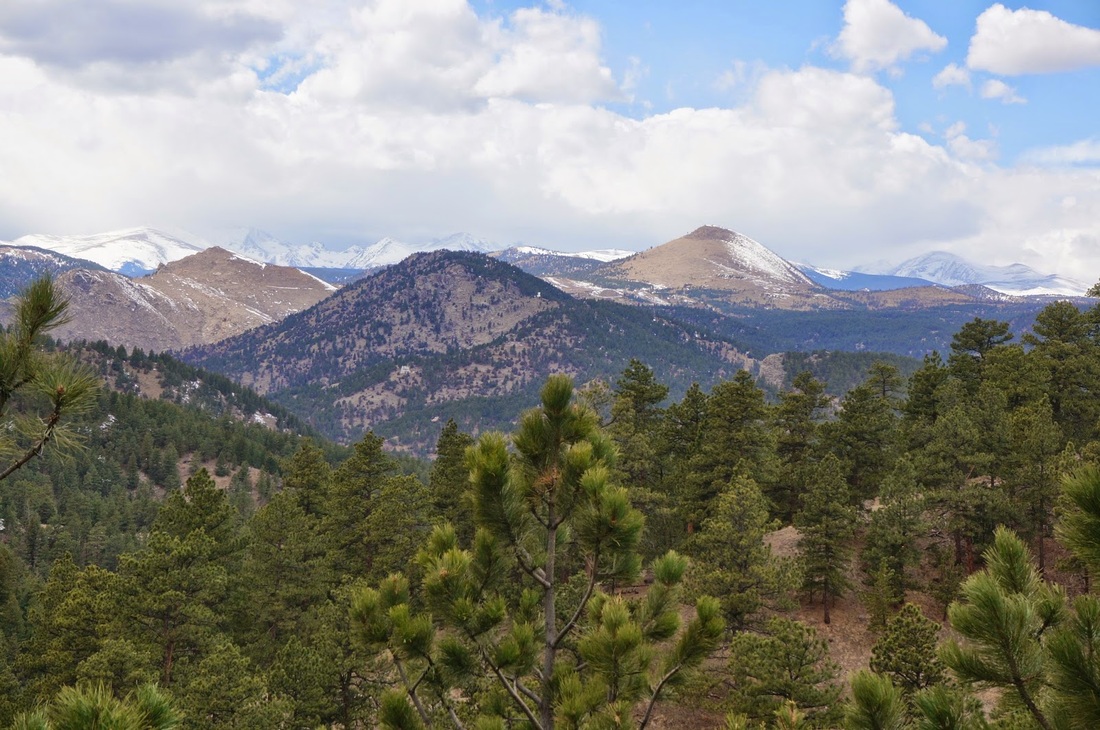
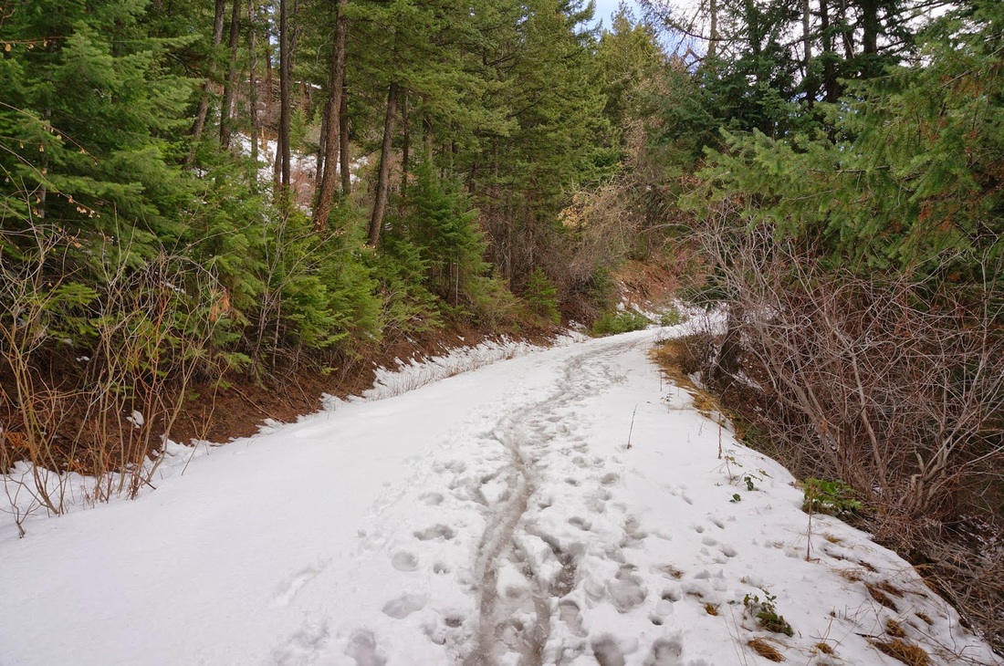
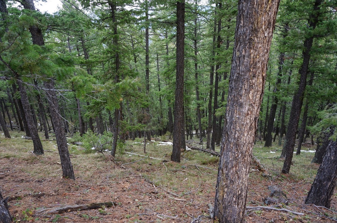
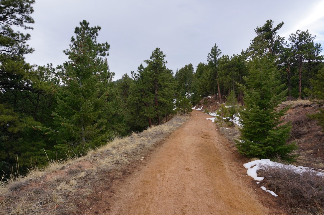
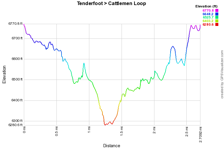
The Tenderfoot Trail is a nice and easy hike up on Flagstaff Mountain.  The trail winds through the evergreen forest and leads to a great viewpoint of the Indian Peaks to the west.  From the parking lot, find the Tenderfoot Trail on the west side of the lot.  The trail descends steadily around the side of Flagstaff Mountain to the main viewpoint however the views start way before the actual viewpoint.  From here the trail descends down the valley and hooks up with an old dirt road (Chapman Drive).  Chapman Drive takes you back up the valley to the Realization Point Trailhead.

With a terrific view, a varied terrain, and a very close proximity to Boulder, the Tenderfoot Loop is a great option for all skill levels.
Powered by Create your own unique website with customizable templates.