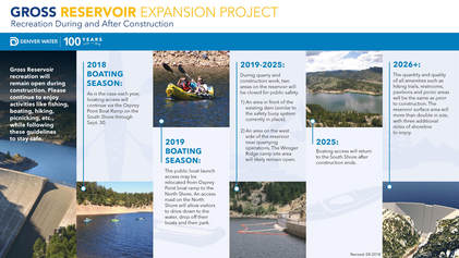
Please note that Gross Reservoir will be under going an expansion project that will impact recreational activities at Gross Reservoir this season and beyond. While the reservoir will remain open throughout construction, there will be some changes and areas that are temporarily closed. Please see the Gross Reservoir website, linked above, or the info graphic below for the anticipated schedule and impacts.
|
Directions: From Boulder, take Flagstaff Road west until it turns into Gross Dam Road. Follow Gross Dam Road to the North Shore Parking Area. The trail starts just downhill from the Park Kiosk and Map. From Denver, take I-70 W to 93 North. Turn West on Hwy 72 to Gross Dam Road. Follow Gross Dam Road down towards the reservoir, when you see the park sign and map, turn left and follow the road to the south access point.
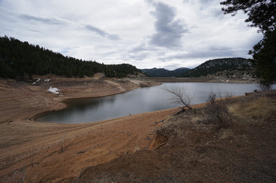
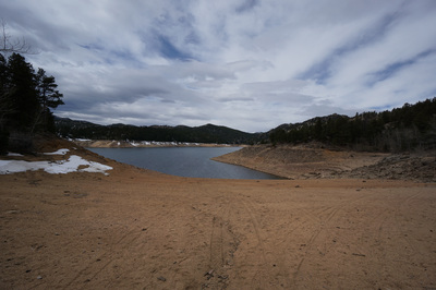
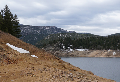
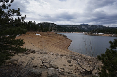
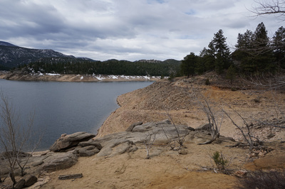
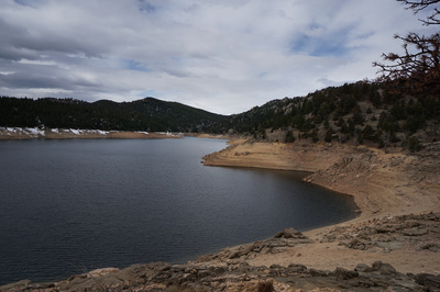
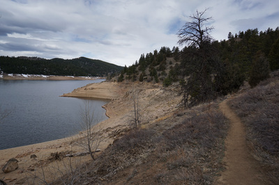
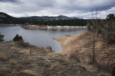
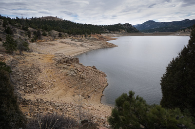
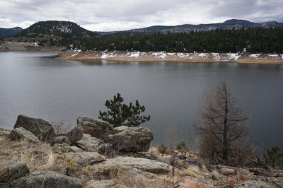
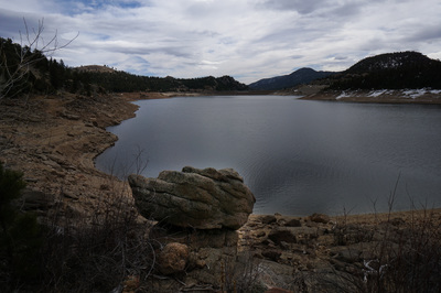
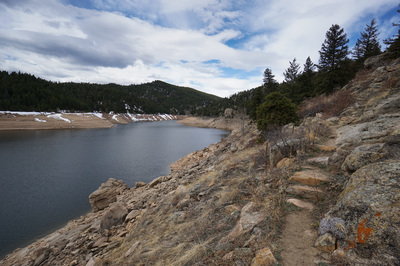
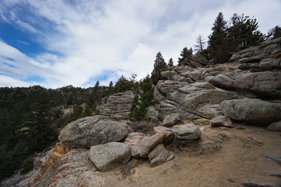
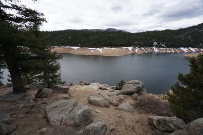
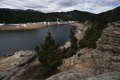
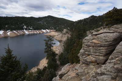
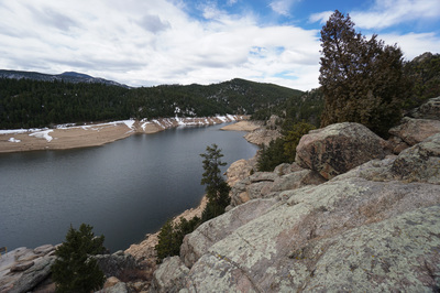
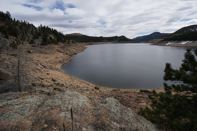
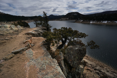
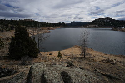
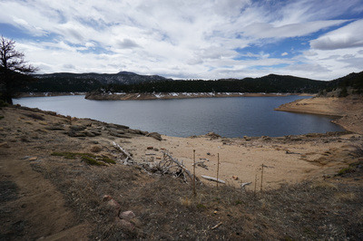
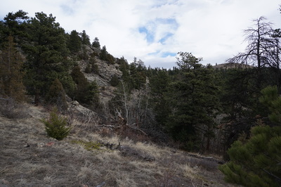
Gross Reservoir has a few nice hiking options in the geologically unique area west of Boulder. This area is full of interesting rock formations and stark canyons. It also provides for a relatively rare hiking experience. While there are hundreds of alpine lakes that you can hike to in the Front Range, there are not all that many large water bodies with trails following the shoreline that you can hike along in the winter months.
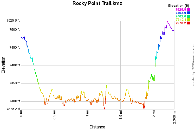
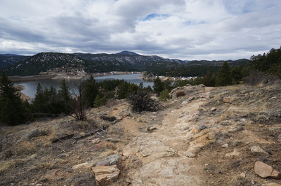
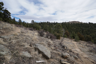
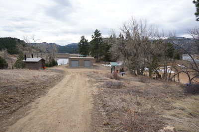
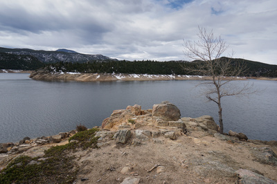
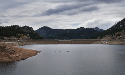
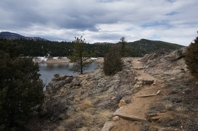
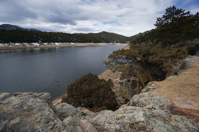
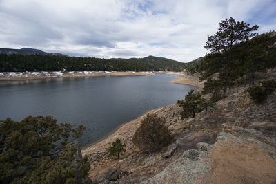
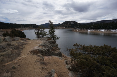
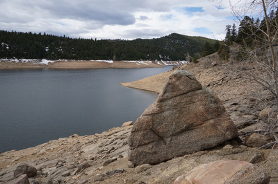
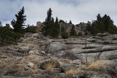
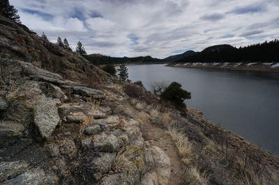
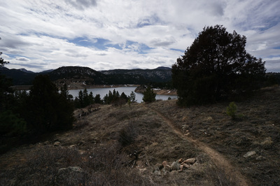
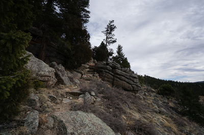
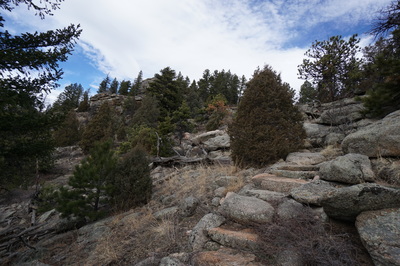
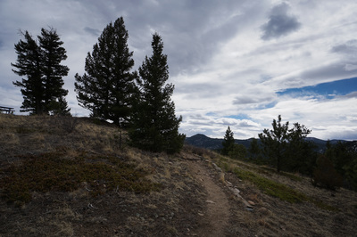
The North shore of Gross Reservoir has the Rocky Point Trail, which is a fun and easy hike to a rocky outcrop with views of the Reservoir, Dam, and Forsythe Canyon to the west. There are many great spots to relax on large slabs of slickrock or to fish in the reservoir along the way. Another nice feature is that motorized boating is prohibited in the reservoir which makes for a quieter hiking experience then some of the other lakes and reservoirs in the Front Range. From the Northshore Parking and Picnic Area, head downhill along the fenced in trail directly below the park map and information kiosk. The trail will switchback down towards the shore, crossing various social trails along the way. When you reach an obvious (but unsigned) trail junction, you can stay straight to reach the Boathouse launch and picnic area (which has its own short hiking trail) or turn right (west) for the Rocky Point Trail. Turn right and follow the Rocky Point Trail as it follows the north shore of the reservoir. After about .2 miles you’ll see another unsigned but fairly obvious trail branch off to the right and head uphill, remember this spot as this is the trail to take on your way back. From this junction you can continue for another .6 miles to Rocky Point. You’ll know Rocky Point when you reach there. First of all the trail will dead end at some large boulders. You’ll also see an old sign sticking up from the slickrock down towards the shoreline. You can scramble up the boulders and slickrock for a bit after the dead end but this is where the official trail stops. On your return, take the trail that I previously mentioned as it climbs somewhat steeply uphill and gets closer to the rock formations that you were previously hiking under. This trail will take you to another trail junction after .3 miles. Turn right here to return to the picnic area, or turn left to explore some rocky outcrops to the west. While Gross Reservoir will is not necessarily the place for isolation and wilderness, it is far less crowded than neighboring Boulder Mountain Parks or Walker Ranch. In the winter, Gross Reservoir provides a chance for some dryer trails and quieter hiking in a relatively unknown park in the Boulder foothills. |

