GO HIKE COLORADO
Get in Touch:
  • HOME
  • ABOUT
  • HIKES BY REGION
    • DENVER AREA >
      • Denver Mountain Parks
      • Jefferson County Open Space
      • Lakewood Parks
      • Denver Area Greenways
    • BOULDER AREA
    • DOUGLAS COUNTY
    • FORT COLLINS AREA
    • COLORADO SPRINGS AREA
    • FRONT RANGE
    • TENMILE & MOSQUITO RANGES
    • GORE RANGE
    • SANGRE DE CRISTO MOUNTAINS
    • PARK RANGE
    • SAWATCH RANGE
    • ELK MOUNTAINS
    • SAN JUAN MOUNTAINS
    • THE FLAT TOPS
    • GRAND MESA
    • COLORADO PLATEAU
    • EASTERN PLAINS
  • NATIONAL PARK HIKES
    • BENT'S OLD FORT NATIONAL HISTORIC SITE
    • BLACK CANYON OF THE GUNNISON NATIONAL PARK
    • COLORADO NATIONAL MONUMENT
    • CURECANTI NATIONAL RECREATION AREA
    • DINOSAUR NATIONAL MONUMENT
    • FLORISSANT FOSSIL BEDS NATIONAL MONUMENT
    • MESA VERDE NATIONAL PARK
    • ROCKY MOUNTAIN NATIONAL PARK
    • GREAT SAND DUNES NATIONAL PARK
    • HOVENWEEP NATIONAL MONUMENT
    • SAND CREEK MASSACRE NATIONAL HISTORIC SITE
    • YUCCA HOUSE NATIONAL MONUMENT
  • HIKES BY CATEGORY
    • HIKES TO ALPINE LAKES
    • HIKES TO PEAKS & PASSES
    • HIKES THROUGH CANYONS
    • HIKES WITH FALL COLORS
    • HIKES ALONG THE I-70 CORRIDOR
    • HIKES ON PAVED TRAILS
    • HIKES FOR KIDS
    • HIKES TO WATERFALLS
    • HIKES ALONG RIVERS
    • HIKES WITH ROCK FORMATIONS
    • HIKES WITH WILDFLOWERS
    • WINTER HIKES
  • NEWS
  • WEBCAMS
  • $UPPORT GHC
  • INTERACTIVE MAP

Eagle Wind Trail
Ron Stewart Preserve at Rabbit Mountain

Date Hiked: March 15, 2014

Distance: 4 mi (RT)
Elevation Gain: 513 ft
Elevation Min/Max: 5,505 to 5,849ft
Trailhead Lat/Long:40º 14' 48" N; 105º 13' 25" W  
Managing Agency: Boulder County Open Space
Fee: None

Rabbit Mountain Trail Map
Picture

Directions:  Rabbit Mountain is located just east of Lyons.  Coming north from Boulder on Hwy 36 make a right on Hwy 66.  Look for the Rabbit Mountain sign and make a left (north) on North 55th Street.  The trailhead and parking area is at the end of the road.  There is no parking fee.

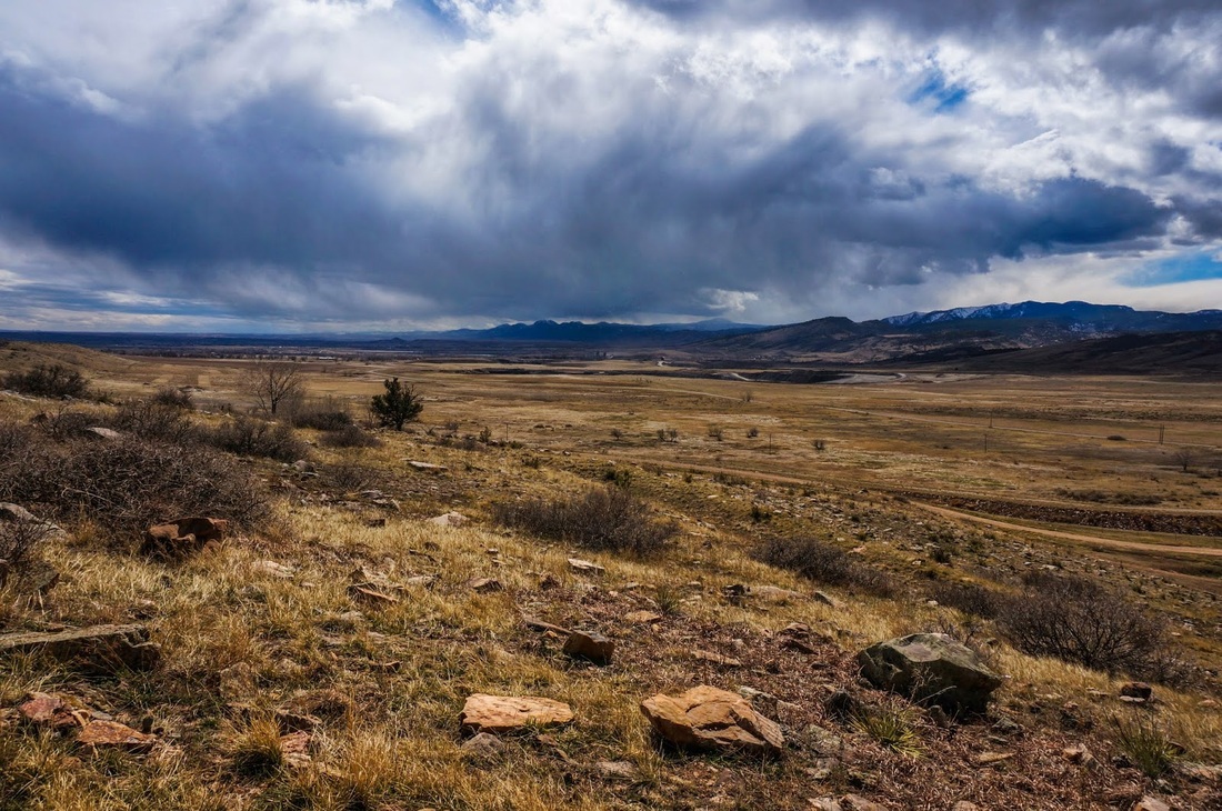
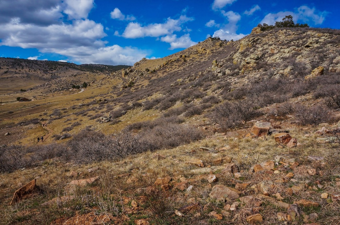
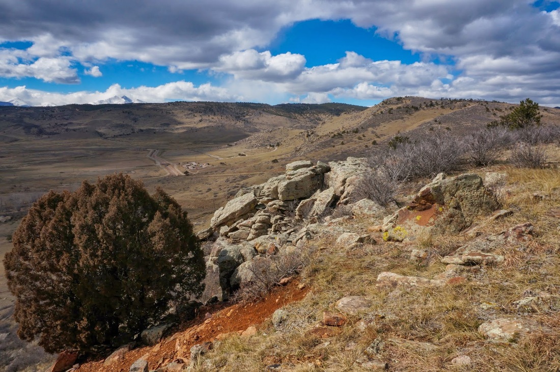
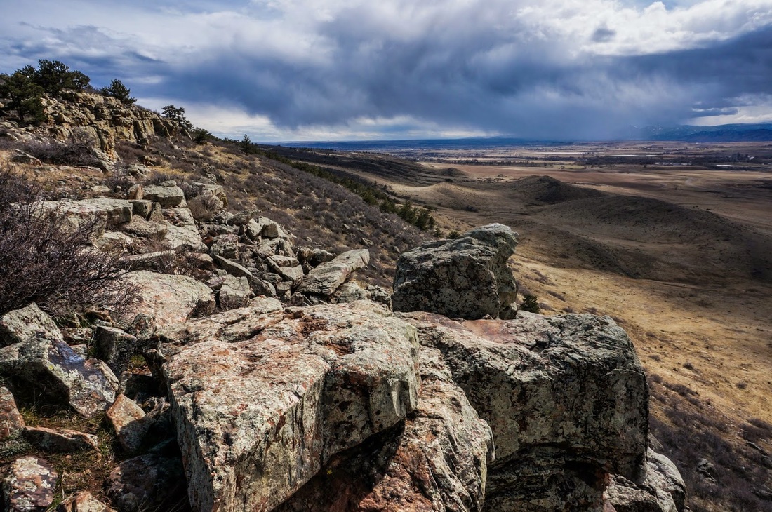
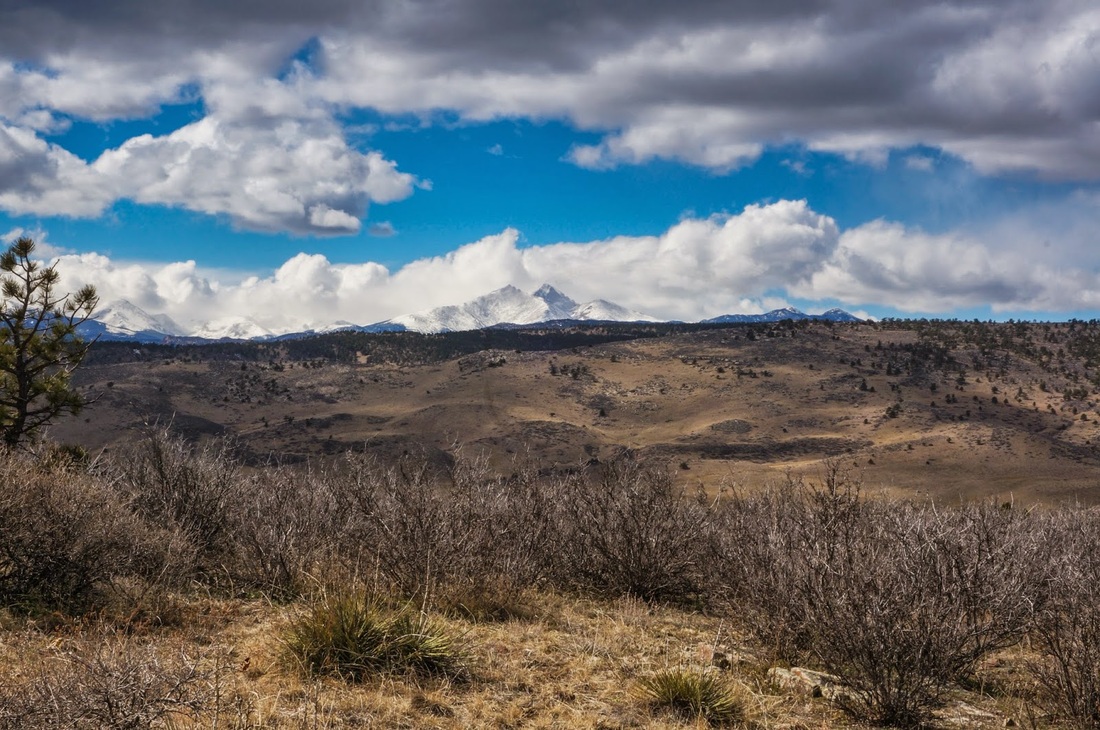
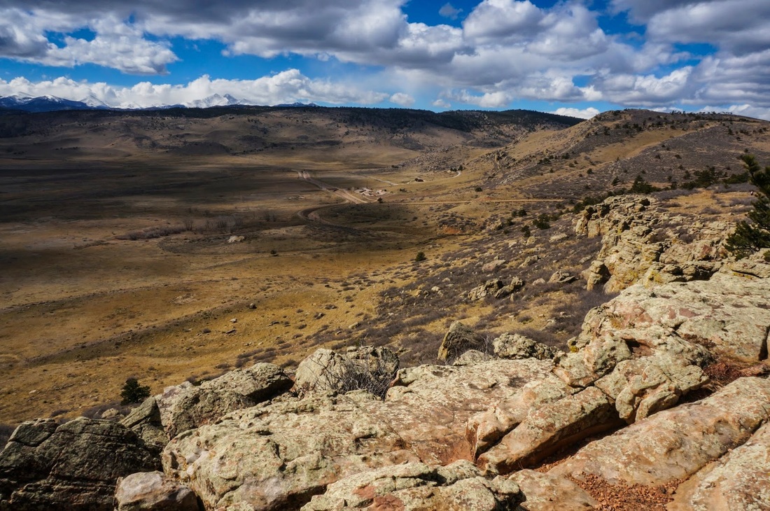
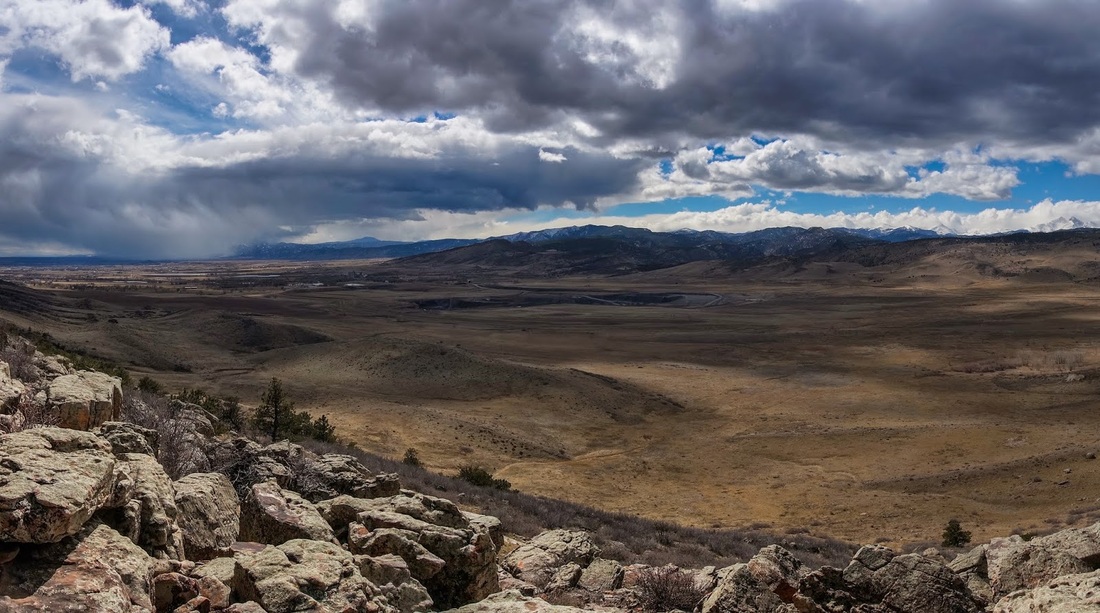
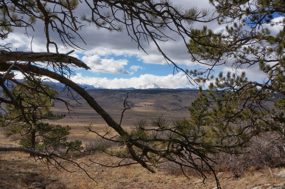
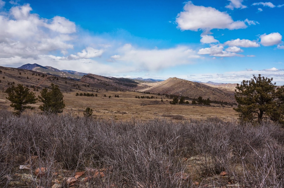
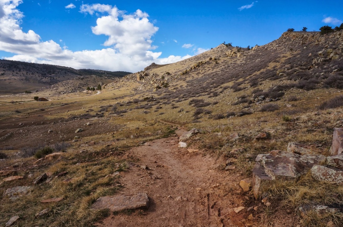
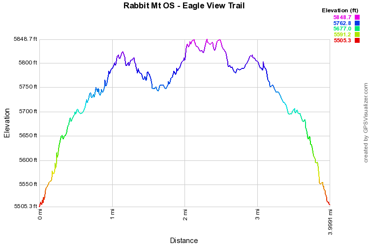
Start the hike by heading up the only trail for about .5 mi.  At the trail junction you have three options, follow the dirt road, aka Indian Mesa Trail, turn left onto the Little Thompson Overlook Trail, or turn right onto the Eagle Wind Trail.  Although the Little Thompson Overlook is a wonderful hike, this hike describes only the Eagle Wind Trail.

The Eagle Wind Trail skirts the ridge with terrific views of Longs Peak, the north Indian Peaks, and the plains down to Boulder.  There are various viewpoints to the right of the trail.  The trail itself is relatively flat and traverses the top of the ridge until it loops back in on itself.  The loop itself is about 2.5 miles.  This hike is a great option for all seasons, especially when you want some elevation gain while still staying east of the foothills. 


© Go Hike Colorado, 2020.  All Rights Reserved. 
Use of photographs without prior authorization is
​strictly prohibited.


Contact us at:
[email protected]
Legal Disclaimer - Information provided on this site is based upon our own observations, always double check information with the appropriate land management agency before heading into the backcountry.  Backcountry travel is inherently dangerous, please take all proper precautions.  Go Hike Colorado is not responsible for injury or incident.