GO HIKE COLORADO
Get in Touch:
  • HOME
  • ABOUT
  • HIKES BY REGION
    • DENVER AREA >
      • Denver Mountain Parks
      • Jefferson County Open Space
      • Lakewood Parks
      • Denver Area Greenways
    • BOULDER AREA
    • DOUGLAS COUNTY
    • FORT COLLINS AREA
    • COLORADO SPRINGS AREA
    • FRONT RANGE
    • TENMILE & MOSQUITO RANGES
    • GORE RANGE
    • SANGRE DE CRISTO MOUNTAINS
    • PARK RANGE
    • SAWATCH RANGE
    • ELK MOUNTAINS
    • SAN JUAN MOUNTAINS
    • THE FLAT TOPS
    • GRAND MESA
    • COLORADO PLATEAU
    • EASTERN PLAINS
  • NATIONAL PARK HIKES
    • BENT'S OLD FORT NATIONAL HISTORIC SITE
    • BLACK CANYON OF THE GUNNISON NATIONAL PARK
    • COLORADO NATIONAL MONUMENT
    • CURECANTI NATIONAL RECREATION AREA
    • DINOSAUR NATIONAL MONUMENT
    • FLORISSANT FOSSIL BEDS NATIONAL MONUMENT
    • MESA VERDE NATIONAL PARK
    • ROCKY MOUNTAIN NATIONAL PARK
    • GREAT SAND DUNES NATIONAL PARK
    • HOVENWEEP NATIONAL MONUMENT
    • SAND CREEK MASSACRE NATIONAL HISTORIC SITE
    • YUCCA HOUSE NATIONAL MONUMENT
  • HIKES BY CATEGORY
    • HIKES TO ALPINE LAKES
    • HIKES TO PEAKS & PASSES
    • HIKES THROUGH CANYONS
    • HIKES WITH FALL COLORS
    • HIKES ALONG THE I-70 CORRIDOR
    • HIKES ON PAVED TRAILS
    • HIKES FOR KIDS
    • HIKES TO WATERFALLS
    • HIKES ALONG RIVERS
    • HIKES WITH ROCK FORMATIONS
    • HIKES WITH WILDFLOWERS
    • WINTER HIKES
  • NEWS
  • WEBCAMS
  • $UPPORT GHC
  • INTERACTIVE MAP

Flagstaff Mt. - Ute > Boy Scout Loop
Boulder Mountain Park

Date Hiked: April 26, 2014

Distance:  2.2 mi (RT)
Elevation Gain: 593ft
Elevation Min/Max: 6,720ft to 6,941ft
Managing Agency: City of Boulder Open Space & Mt. Parks
Fee: Yes

Flagstaff Mountain Trailhead Map
Picture

Directions:  From Boulder, follow Baseline Rd west until it enters the Boulder Mountain Parks and becomes Flagstaff Rd.  The Road will climb up steeply and in about 2.5 miles you will reach the summit of Flagstaff Mountain.  Turn right into the parking area (fee required). 

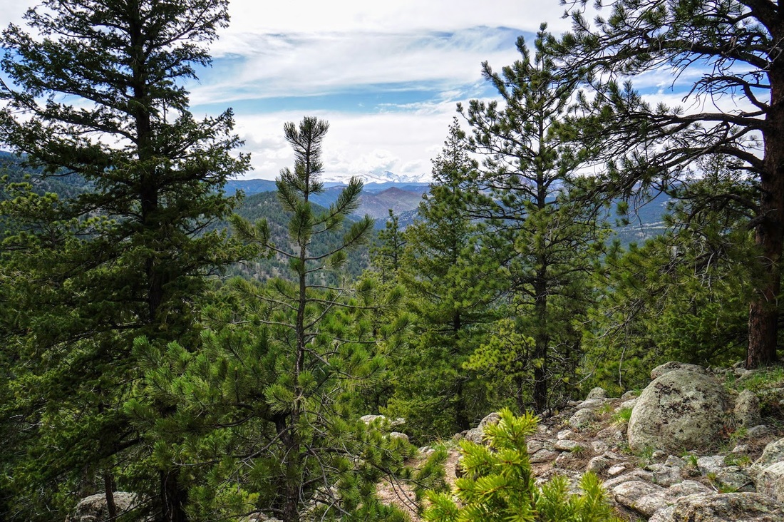
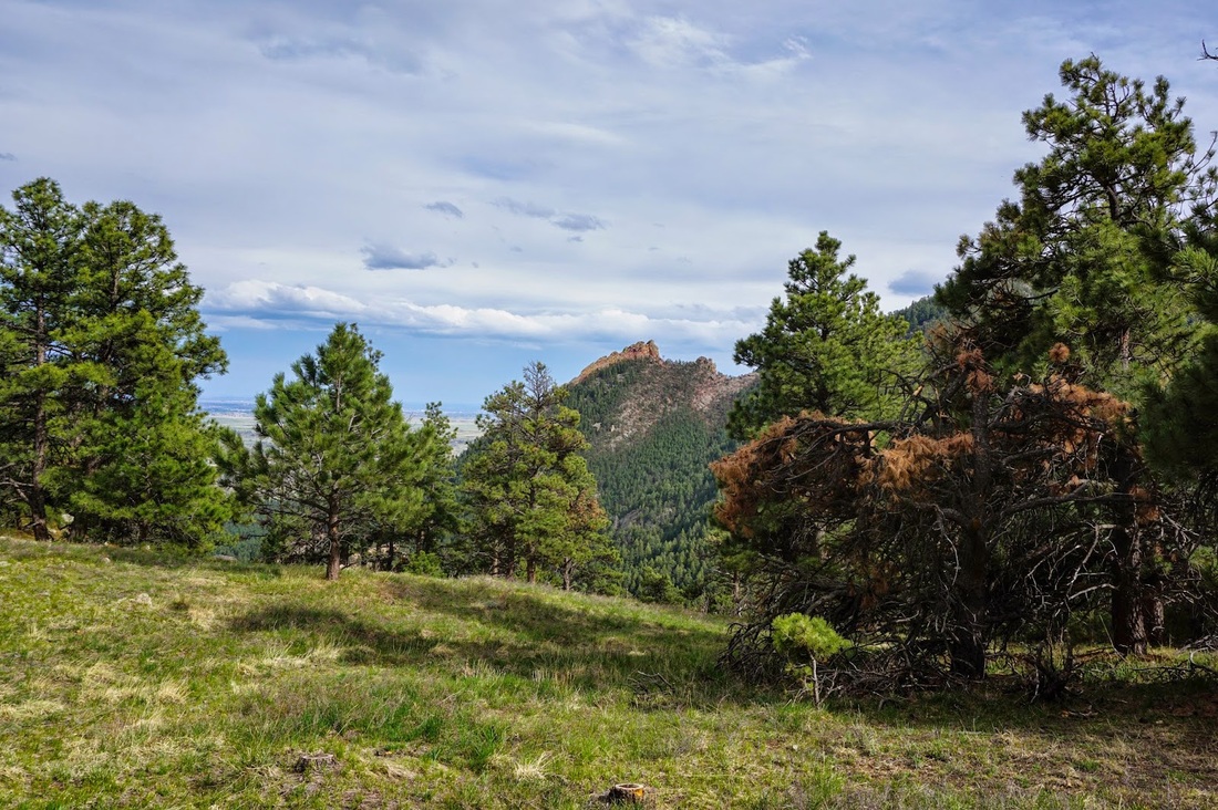
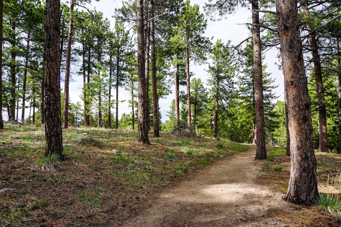
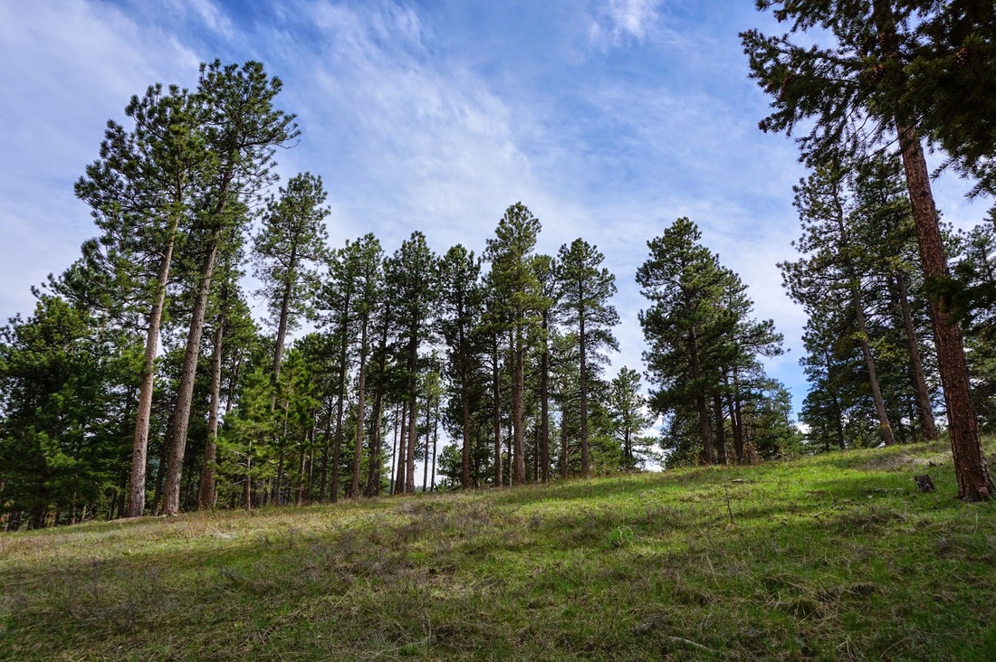
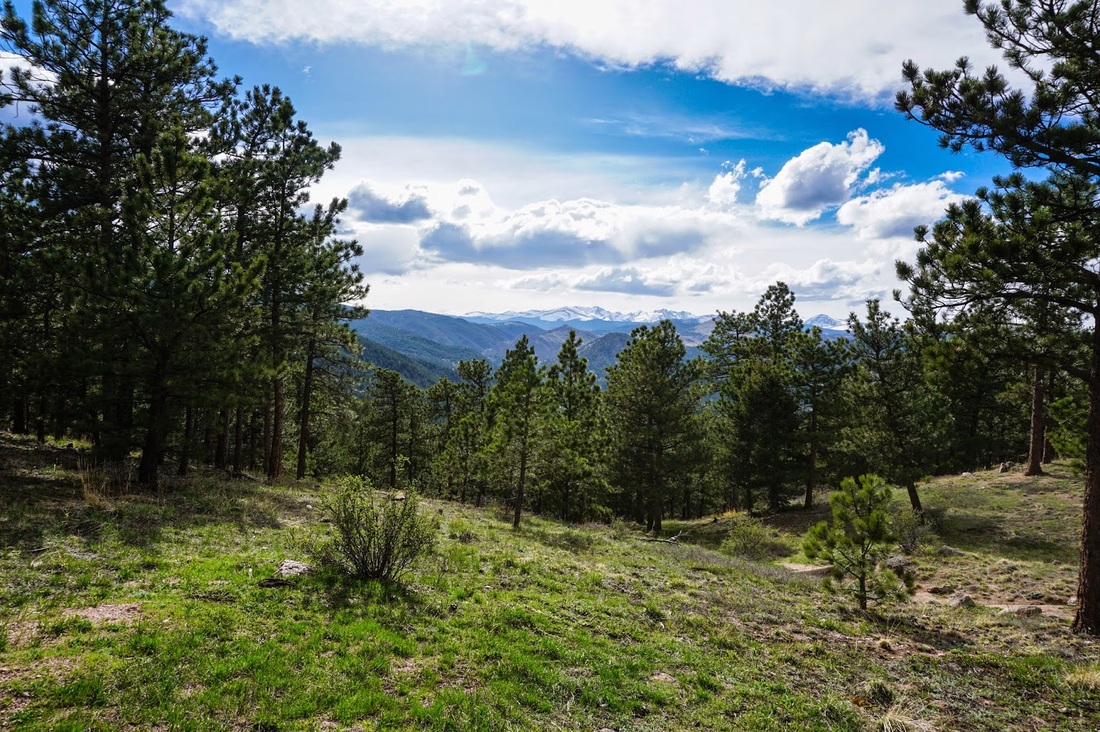
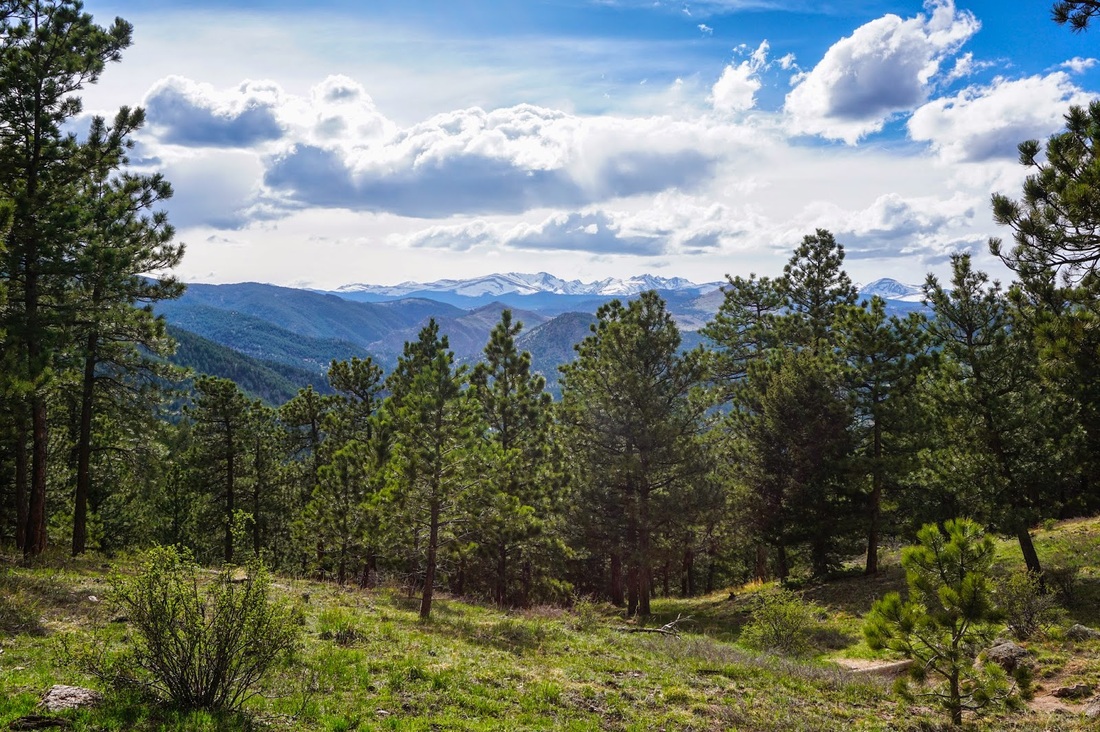
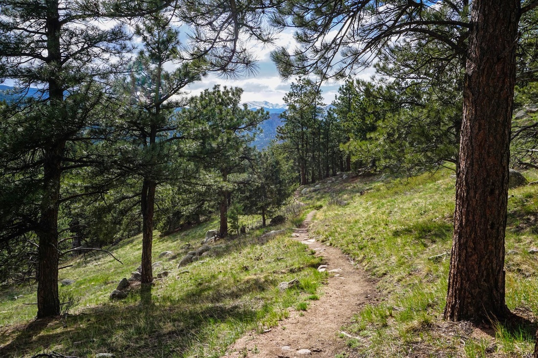
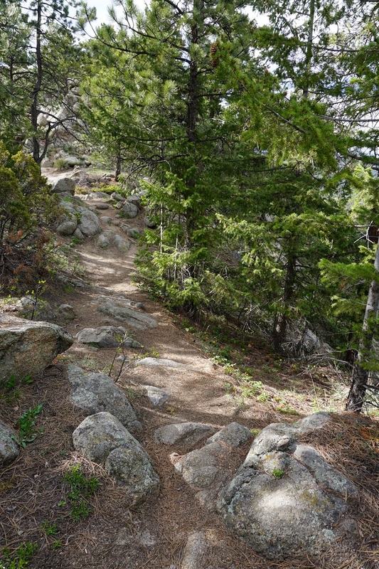
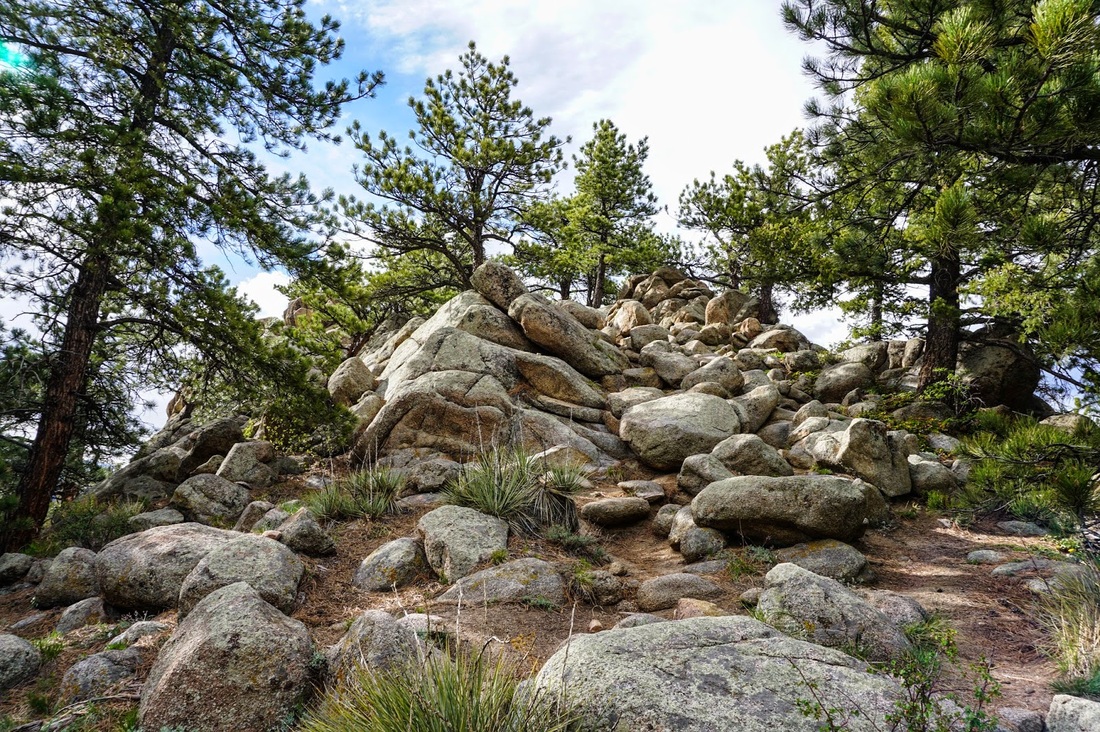
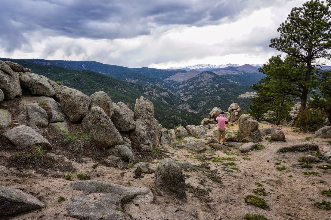
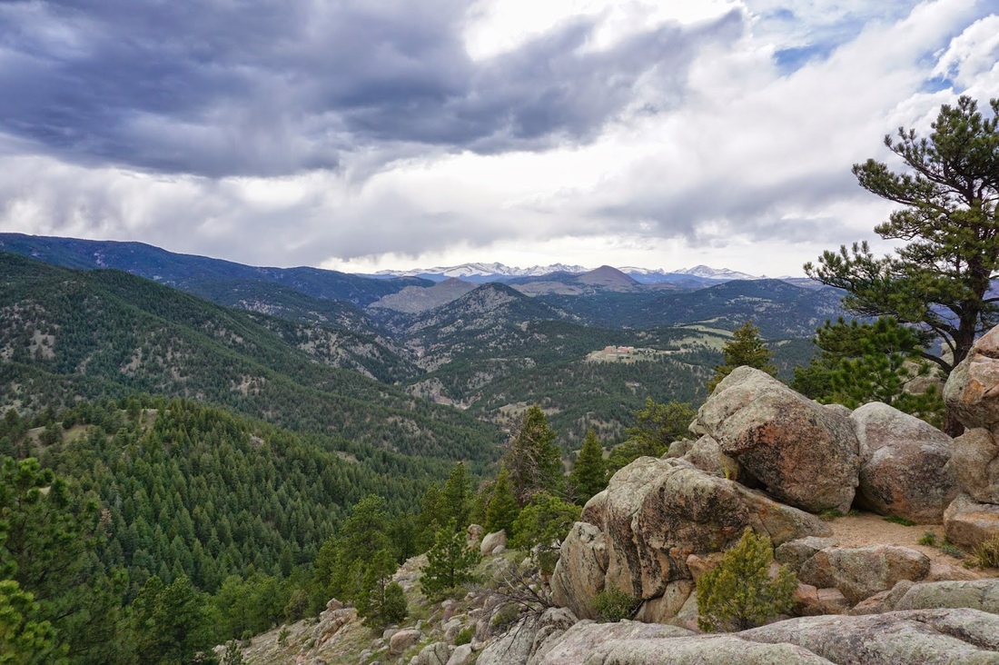
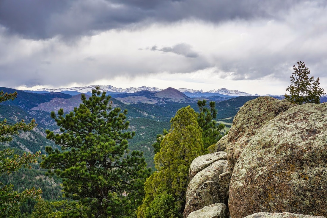
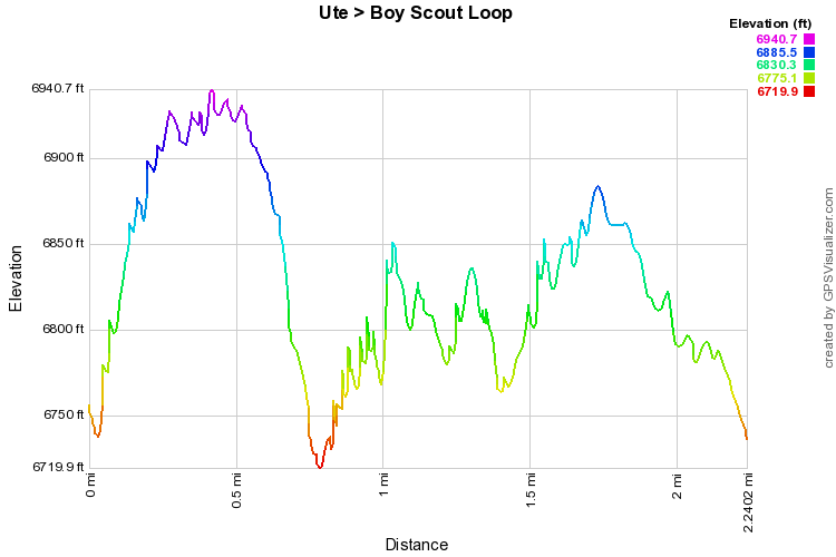
This area is very popular and great for kids as the trail are relatively short and there is little elevation gain.  In the summer, you can drive to the end of Flagstaff Mountain Drive, but when the road is closed park at the gate.  The Ute trail starts climbing steeply until it levels off and winds through beautiful pine forest. Stay on the Ute trail past several junctions and turn left onto the Boy Scout Trail.  The trail will descend with great views until it connects with a spur trail.  Take the spur trail and soon you will scrambling up a boulder pile.  Keep going up and over the pile and the trail will take you to a wonderful viewpoint.  The views of the Indian Peaks are spectacular.  Head back over the rock pile and keep on with the Boy Scout trail.  The trail from here rolls along the north face of Flagstaff Mountain and will eventually lead you to the road and parking area by the Flagstaff Nature Center.

From here you have several options, you can find your way back to the Ute trail, continue exploring the area, or walk back along the road.  We took the road as we had our little guy in tow (his first hike/being carried while I hiked) and he was getting pretty crabby.  It's a quick walk back to the parking lot but has a tremendous view of the back of Green Mountain and the 1st Flatiron. 
Powered by Create your own unique website with customizable templates.