GO HIKE COLORADO
Get in Touch:
  • HOME
  • ABOUT
  • HIKES BY REGION
    • DENVER AREA >
      • Denver Mountain Parks
      • Jefferson County Open Space
      • Lakewood Parks
      • Denver Area Greenways
    • BOULDER AREA
    • DOUGLAS COUNTY
    • FORT COLLINS AREA
    • COLORADO SPRINGS AREA
    • FRONT RANGE
    • TENMILE & MOSQUITO RANGES
    • GORE RANGE
    • SANGRE DE CRISTO MOUNTAINS
    • PARK RANGE
    • SAWATCH RANGE
    • ELK MOUNTAINS
    • SAN JUAN MOUNTAINS
    • THE FLAT TOPS
    • GRAND MESA
    • COLORADO PLATEAU
    • EASTERN PLAINS
  • NATIONAL PARK HIKES
    • BENT'S OLD FORT NATIONAL HISTORIC SITE
    • BLACK CANYON OF THE GUNNISON NATIONAL PARK
    • COLORADO NATIONAL MONUMENT
    • CURECANTI NATIONAL RECREATION AREA
    • DINOSAUR NATIONAL MONUMENT
    • FLORISSANT FOSSIL BEDS NATIONAL MONUMENT
    • MESA VERDE NATIONAL PARK
    • ROCKY MOUNTAIN NATIONAL PARK
    • GREAT SAND DUNES NATIONAL PARK
    • HOVENWEEP NATIONAL MONUMENT
    • SAND CREEK MASSACRE NATIONAL HISTORIC SITE
    • YUCCA HOUSE NATIONAL MONUMENT
  • HIKES BY CATEGORY
    • HIKES TO ALPINE LAKES
    • HIKES TO PEAKS & PASSES
    • HIKES THROUGH CANYONS
    • HIKES WITH FALL COLORS
    • HIKES ALONG THE I-70 CORRIDOR
    • HIKES ON PAVED TRAILS
    • HIKES FOR KIDS
    • HIKES TO WATERFALLS
    • HIKES ALONG RIVERS
    • HIKES WITH ROCK FORMATIONS
    • HIKES WITH WILDFLOWERS
    • WINTER HIKES
  • NEWS
  • WEBCAMS
  • $UPPORT GHC
  • INTERACTIVE MAP

Lichen Loop
Heil Valley Ranch

Date Hiked: March 3, 2012

​Distance:  1.6 mi (RT)
Elevation Gain:  200ft
Elevation Min/Max: 5,878 to 6,169ft
Managing Agency: Boulder County Open Space
Fee: None

Heil Valley Ranch Website
Picture

Directions: From Boulder head north on Hwy 36 and make a left (west) on Lefthand Canyon Drive. Turn right onto Geer Canyon Drive and take this road into the park and the main parking area.

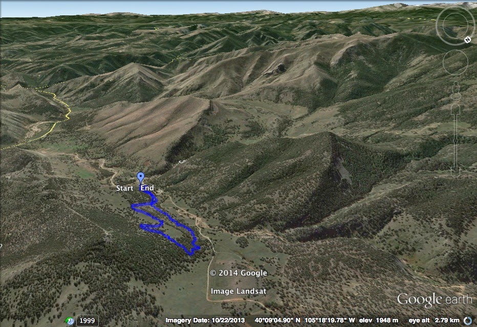
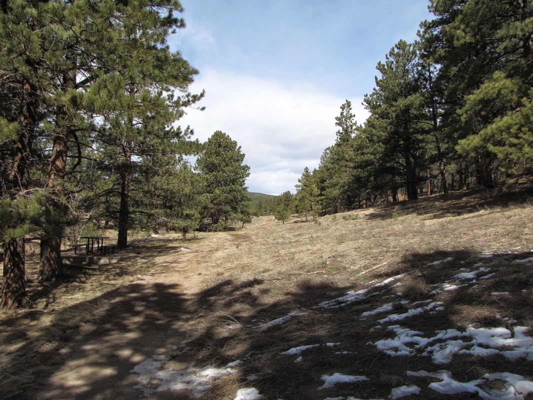
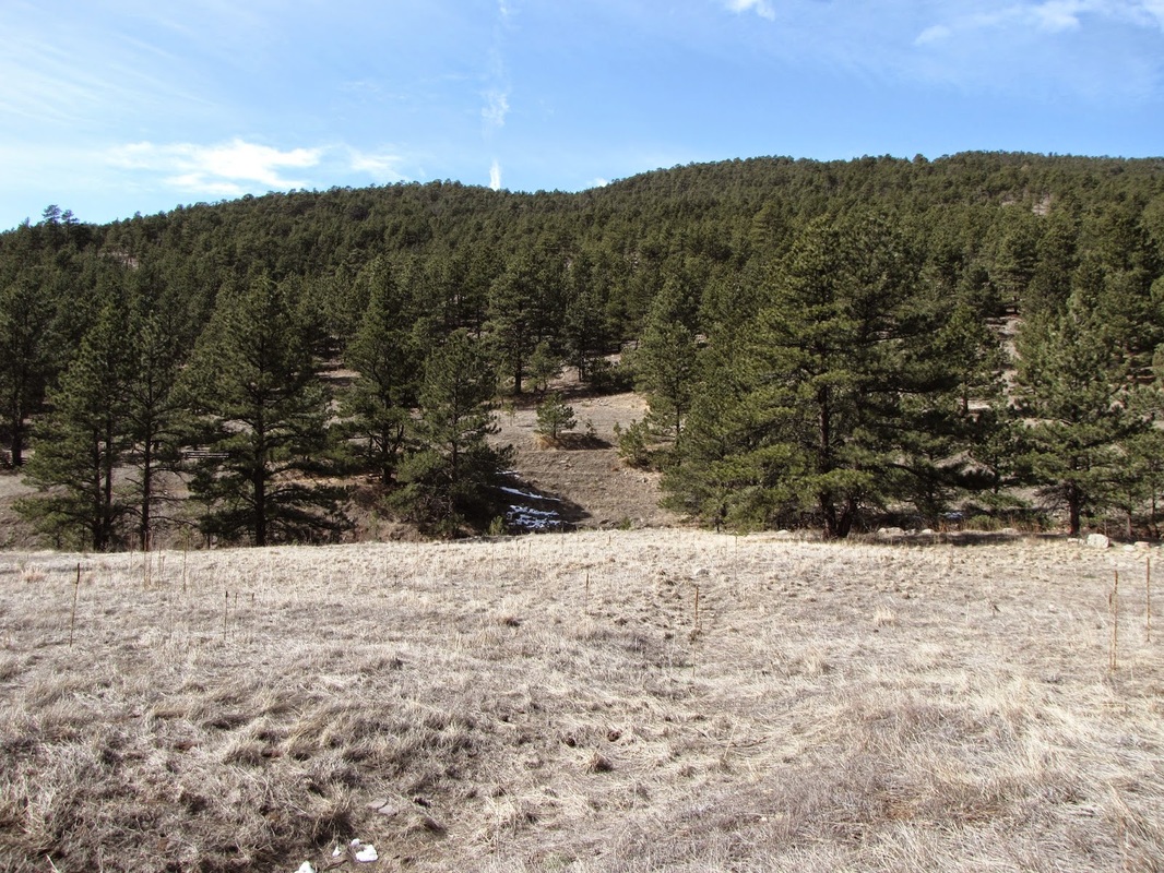
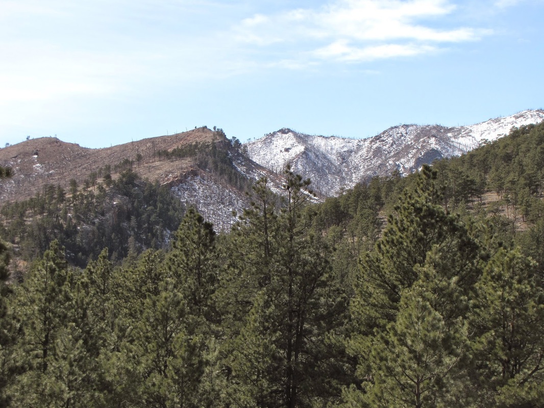
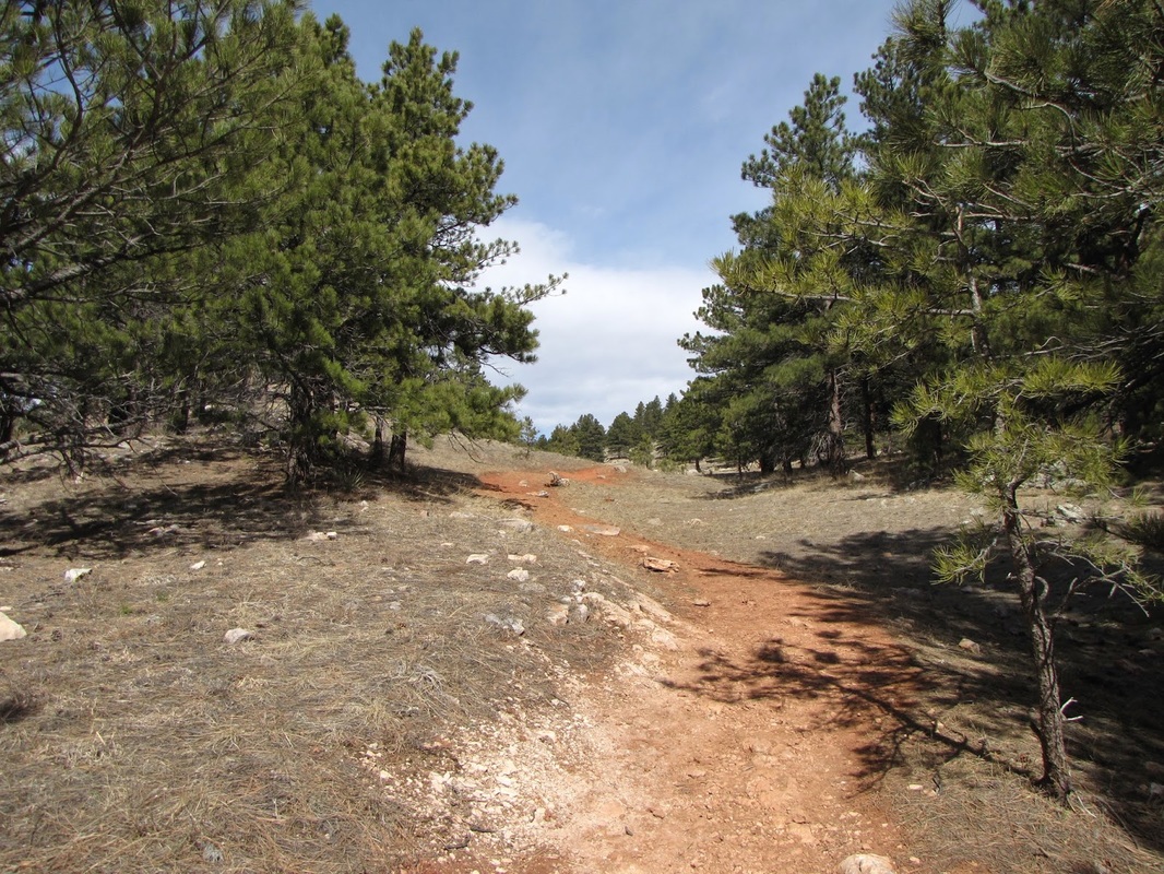
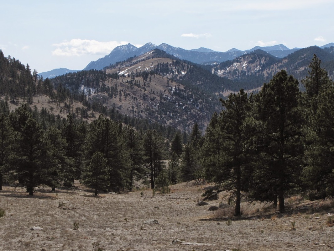
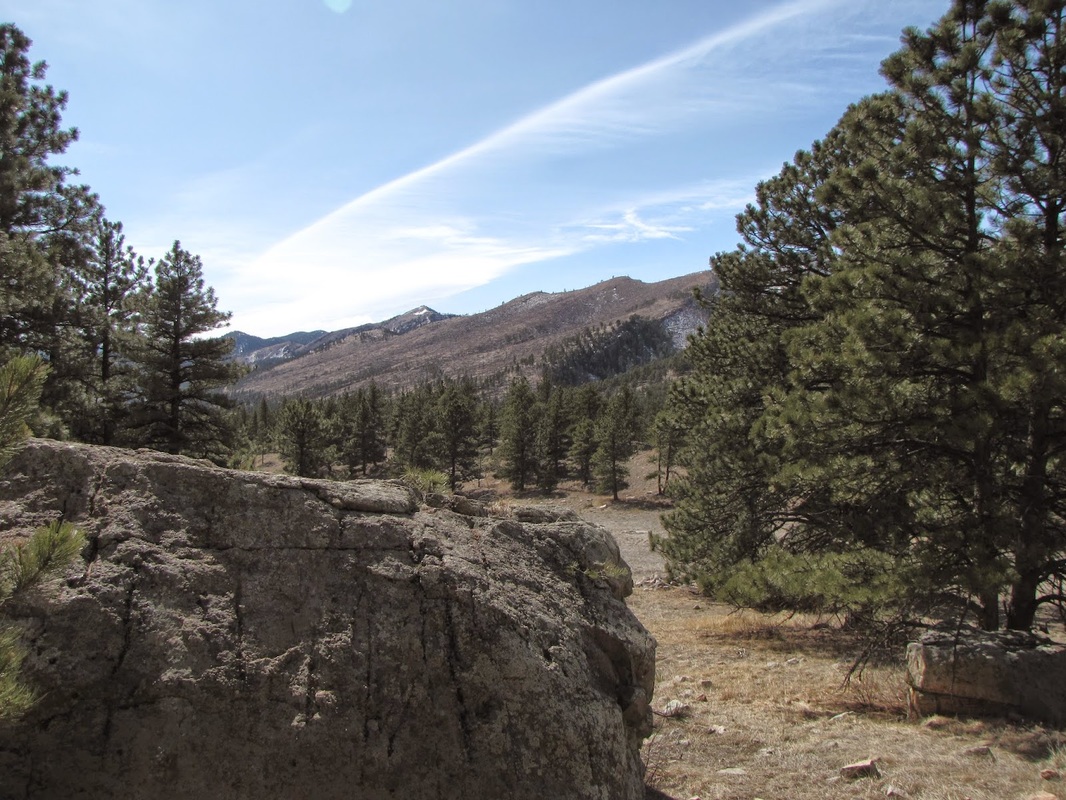
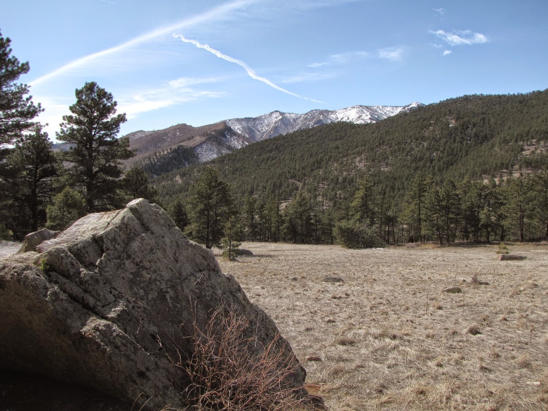
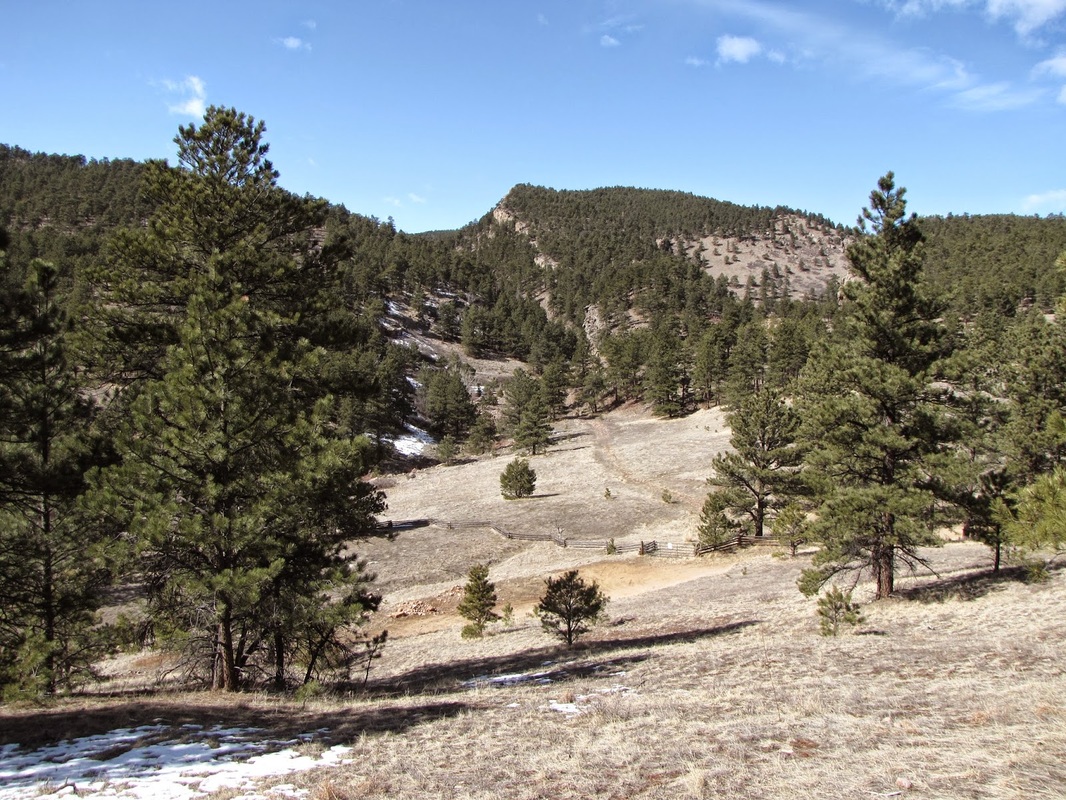
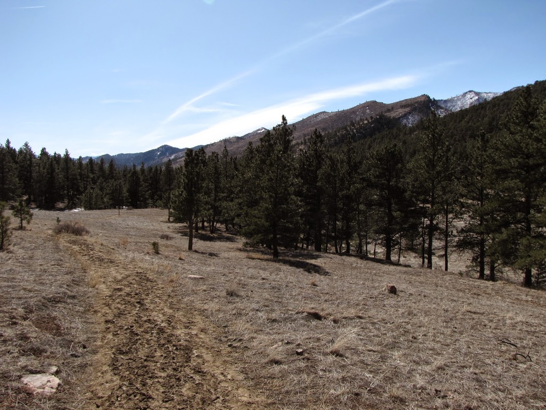
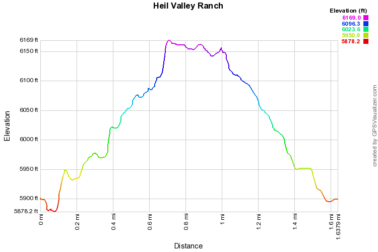
Heil Valley Ranch is a park made up of long trails.  Most trails are at least 8 miles long.  The Lichen Loop however, provides for a short, easy, and pleasant 1.6 mile hike.  The hike most stays within evergreen forest but does provide some views of the surrounding foothills.

From the trailhead, cross a small footbridge and turn left on the trail that heads uphill through an open meadow. When you get to the trail junction, you can go either way, I went right and did the loop counter clockwise.  The trail head into sparse forest and in and out of open meadows.  When it starts to head back to the start of the loop, you get great views of Green Mountain and Bear Peak in the distance behind Boulder.  Proceed down-valley through forests and in between huge boulders back to the trailhead.  You just got a taste of this park, there is lots more to explore here...
Powered by Create your own unique website with customizable templates.