
The South Platte River Trail is one of the longest multi-use trails in the Denver Metro Area. The South Platte River Trail runs from north of Denver County south to the River Point Shopping Center at the intersection of Santa Fe Drive and Hampden Ave at which point the trail becomes the Mary Carter Greenway. The portion of the trail that runs through Denver is offically called "The Greenway Trail Along the South Platte River" by Denver Parks and Recreation. The Mary Carter Greenway continues south along the South Platte River to Chatfield State Park at C470. The entirety of the trail is paved but the trail links several parks together, some of which have natural surface trails to explore. While these trails are more geared towards bikers, hikers will enjoy the scenic views and the close proximity to Denver, making these trails great options for hiking while staying close to home.
From North to South:
Northern Terminus: Brighton Rd Trailhead to Riverdale Regional Park
2.3 mi (RT); minimal elevation gain |
Riverdale Regional Park
4 mi (RT); minimal elevation gain |
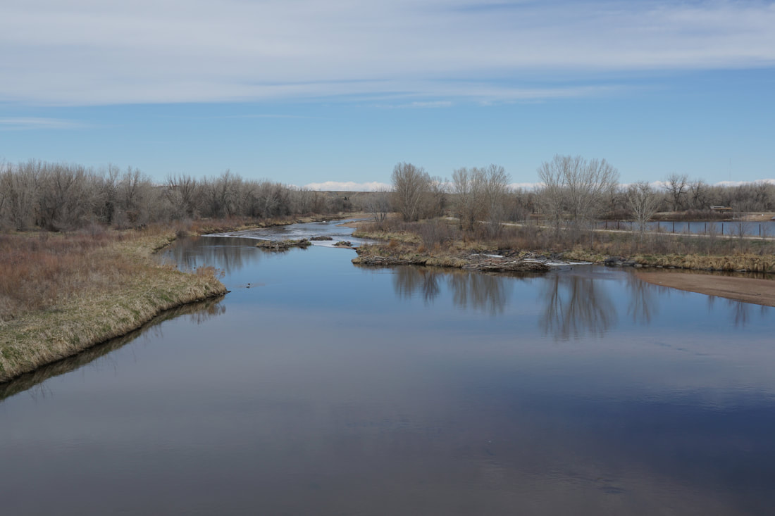
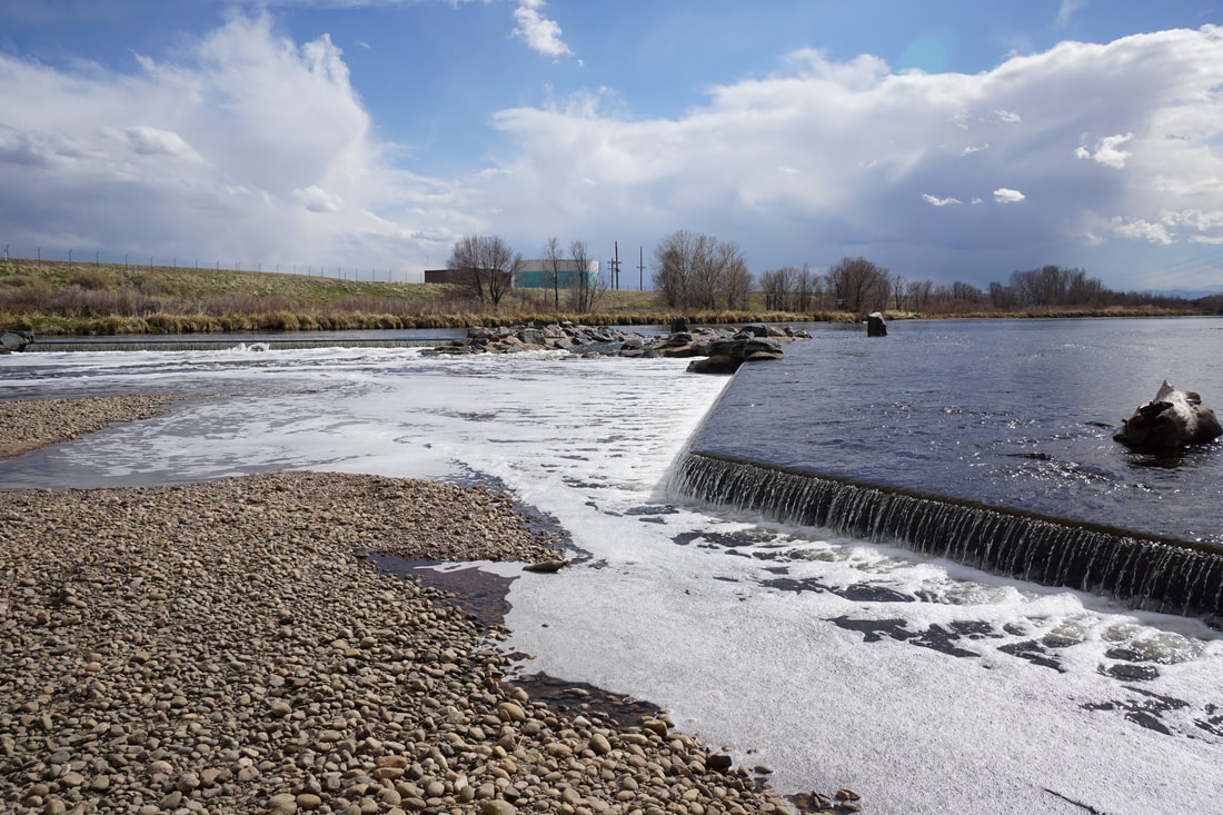
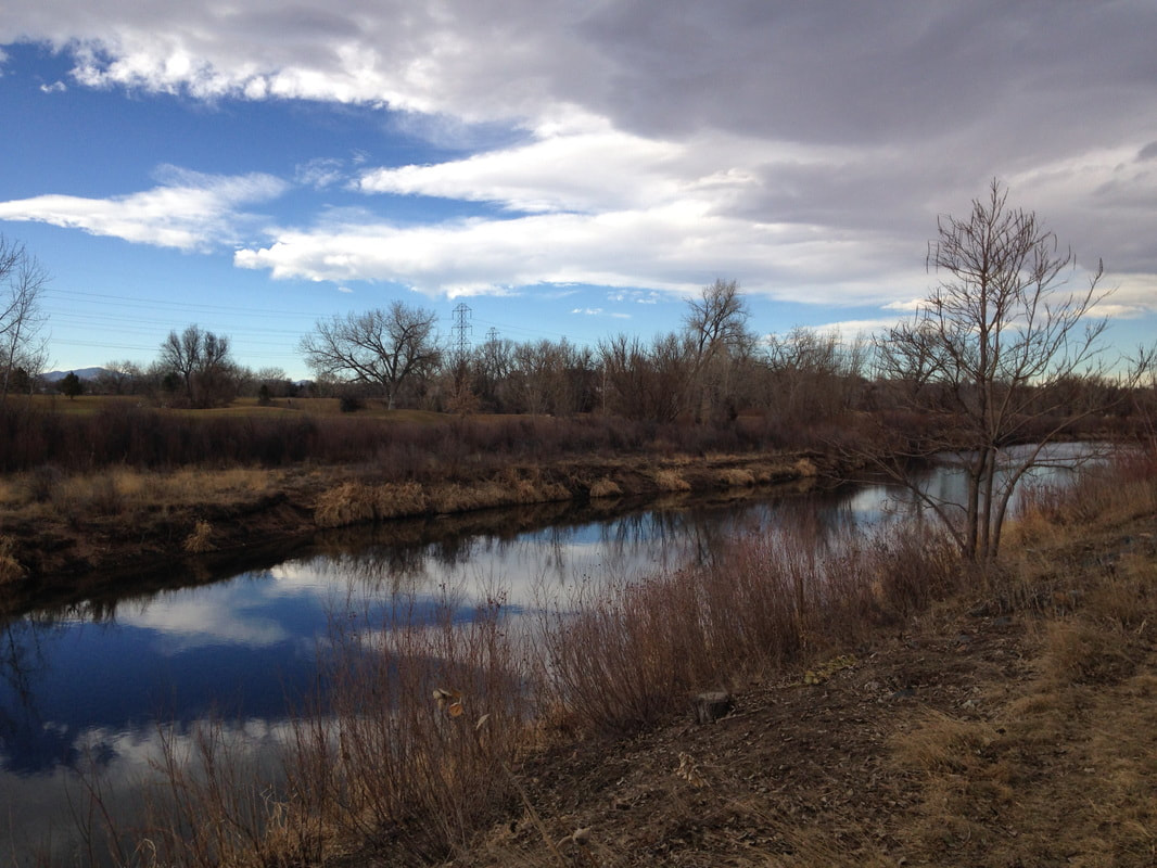
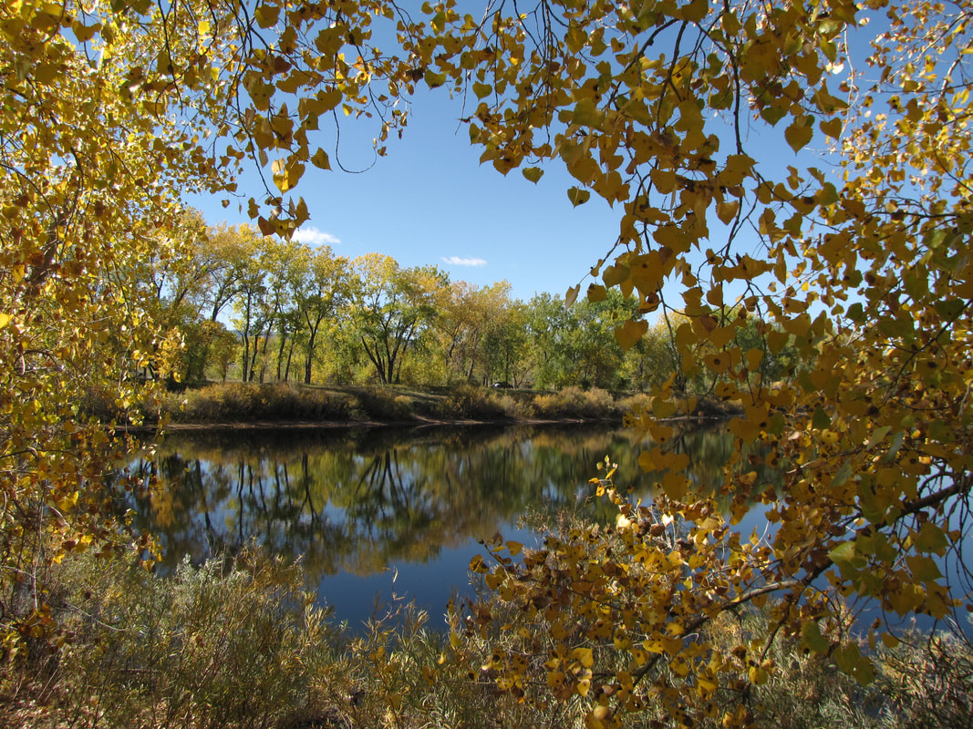
Elaine T. Valente Open Space
1.8 mi (RT); minimal elevation gain |
Thornton Trailhead Park - 88th Ave Northern Loop
2.3 mi (RT); minimal elevation gain |
Thornton Trailhead Park - 88th Ave to Steele Street
2.3 mi (RT), minimal elevation gain |
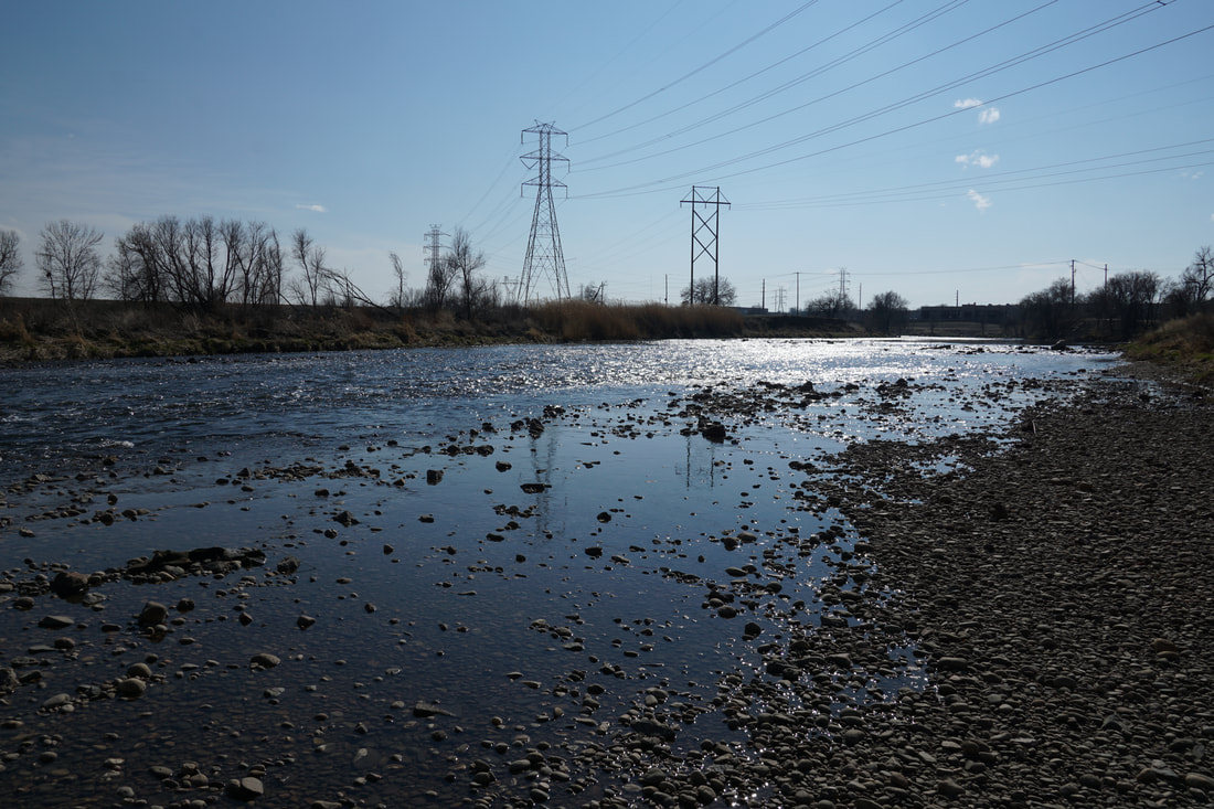
Confluence of the South Platte River & Clear Creek
1 mi (RT); minimal elevation gain |
Heron Pond to Burlington Ditch
1.8 mi (RT); minimal elevation gain |
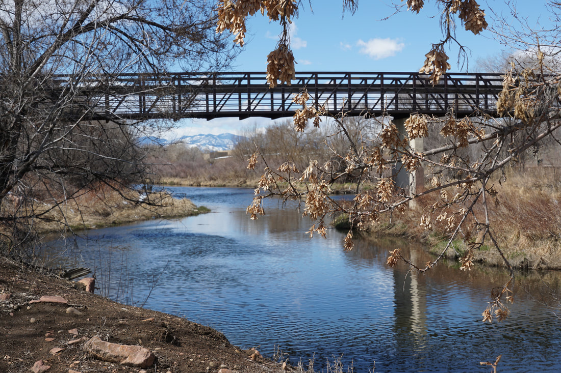
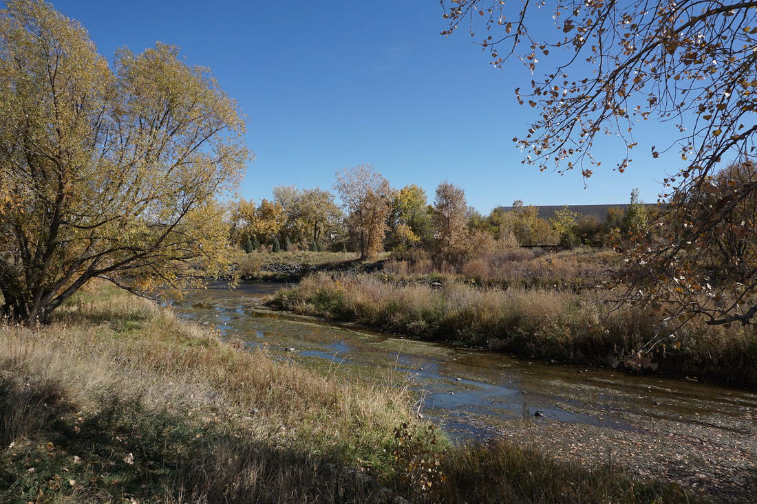
Overland Ponds Park to Grant-Frontier Park; South Platte River Trail
2.8 mi (RT); minimal elevation gain |
River Point to Centennial Park
Mary Carter Greenway 4.2 mi (RT); minimal elevation gain |
Creekside Experience Park to Belleview Street; Mary Carter Greenway
1.7 mi (RT); minimal elevation gain |
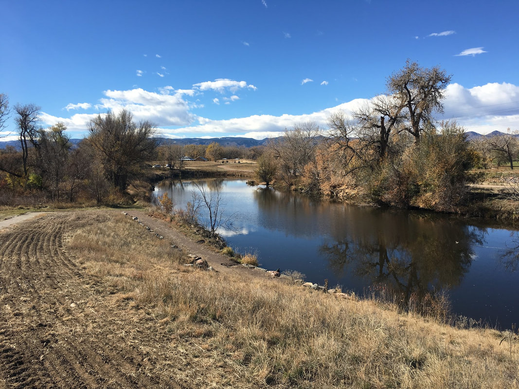
Reynolds Landing & Lee Gulch Overlook
Mary Carter Greenway 1.1 mi (RT); minimal elevation gain |
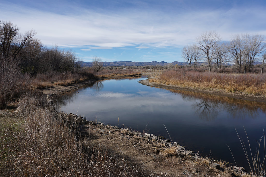
South Platte Park - Northern Wildlife Area
1.4 mi (RT); minimal elevation gain |
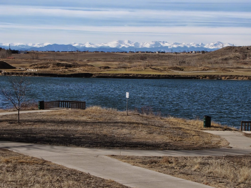
South Platte Park - Lakes Area
Mary Carter Greenway 5 mi (RT); minimal elevation gain |
