|
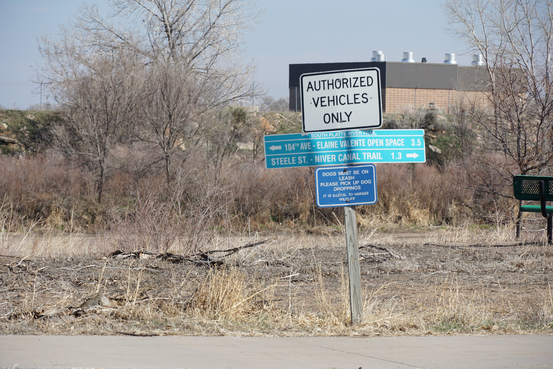
DIRECTIONS: From I-76 exit the 88th Ave exit and head west on 88th Ave. Turn left (south) on Colorado Blvd and turn left after the round about into the parking area.
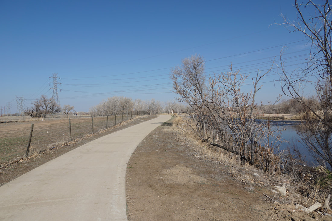
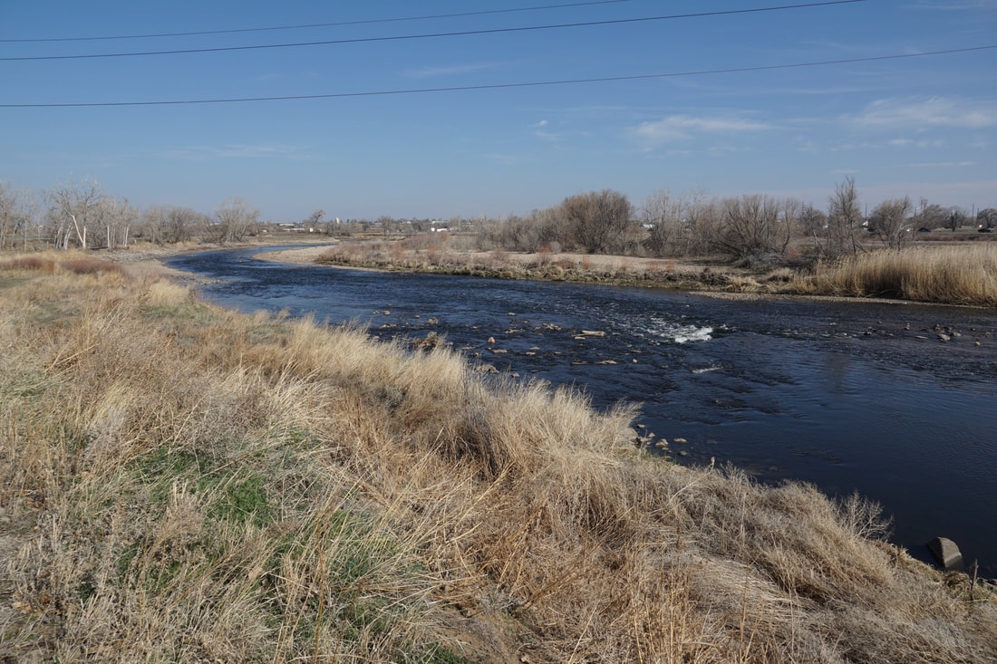
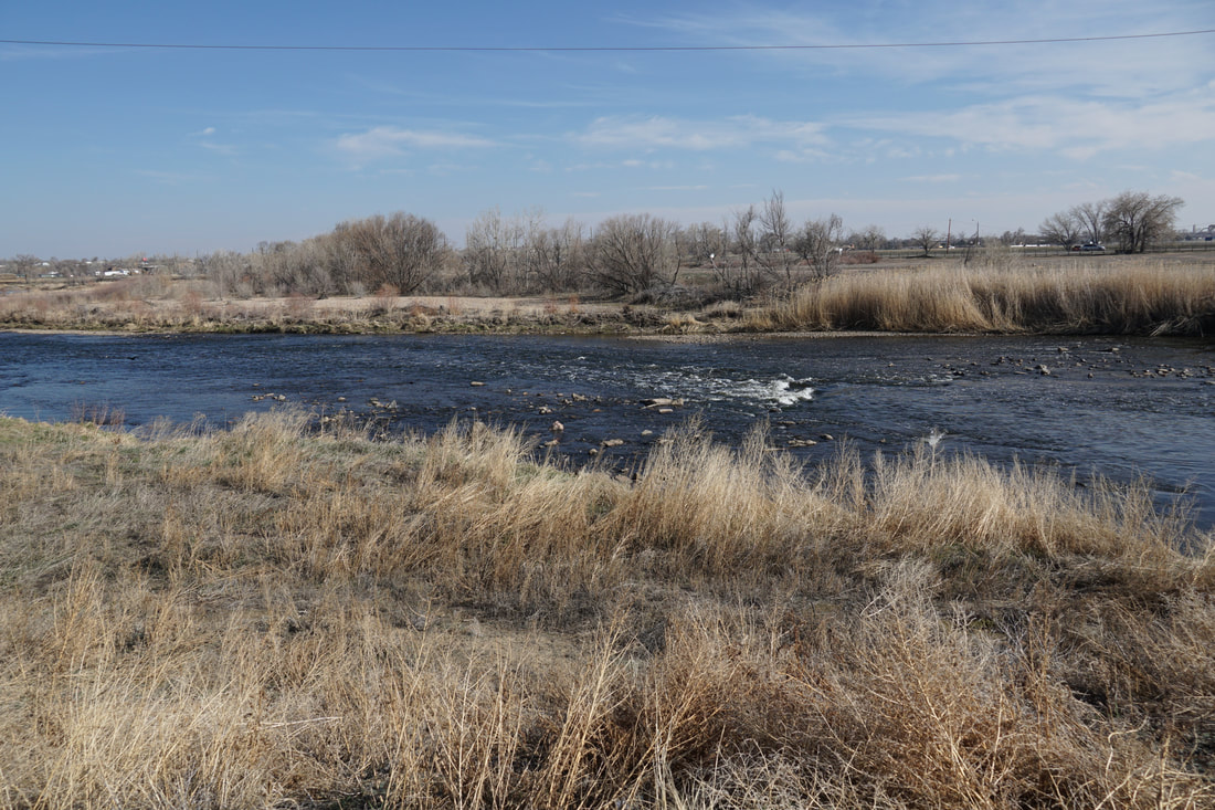
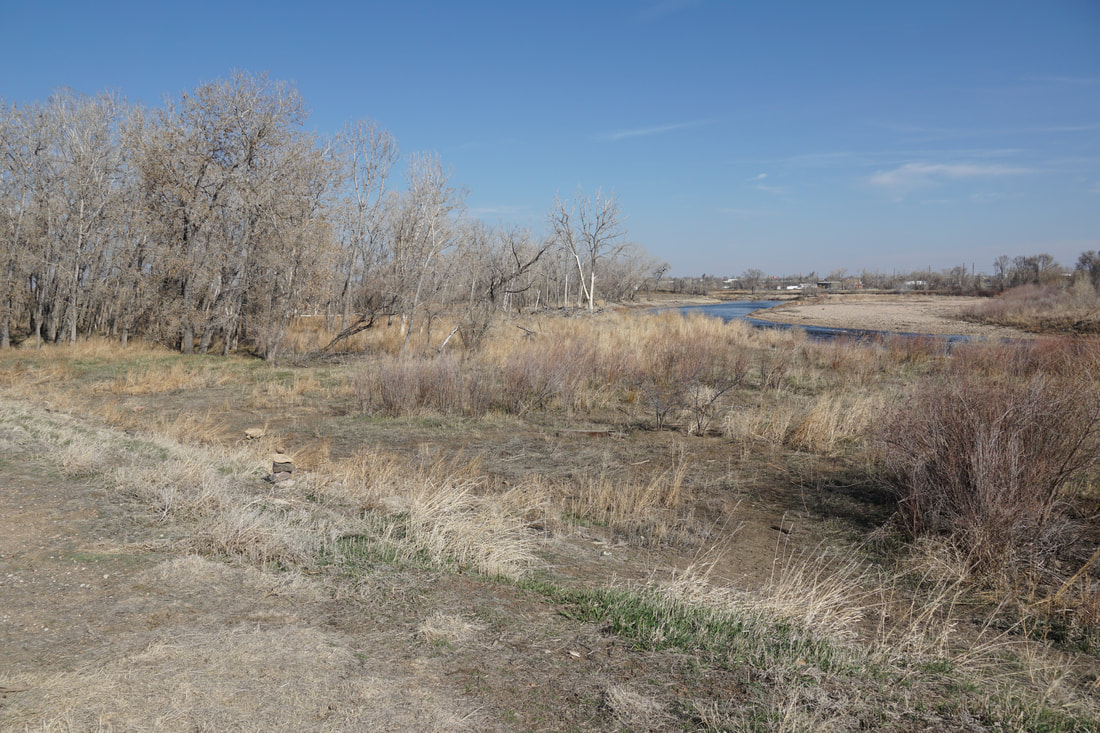
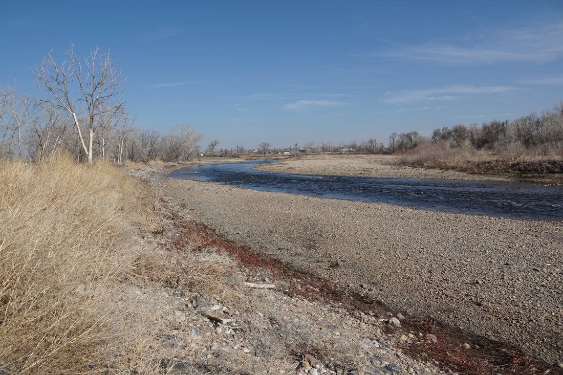
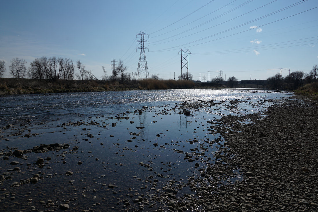
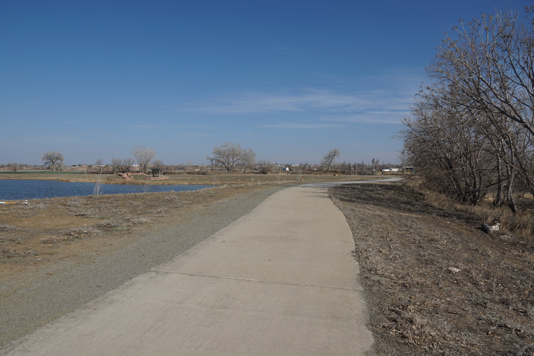
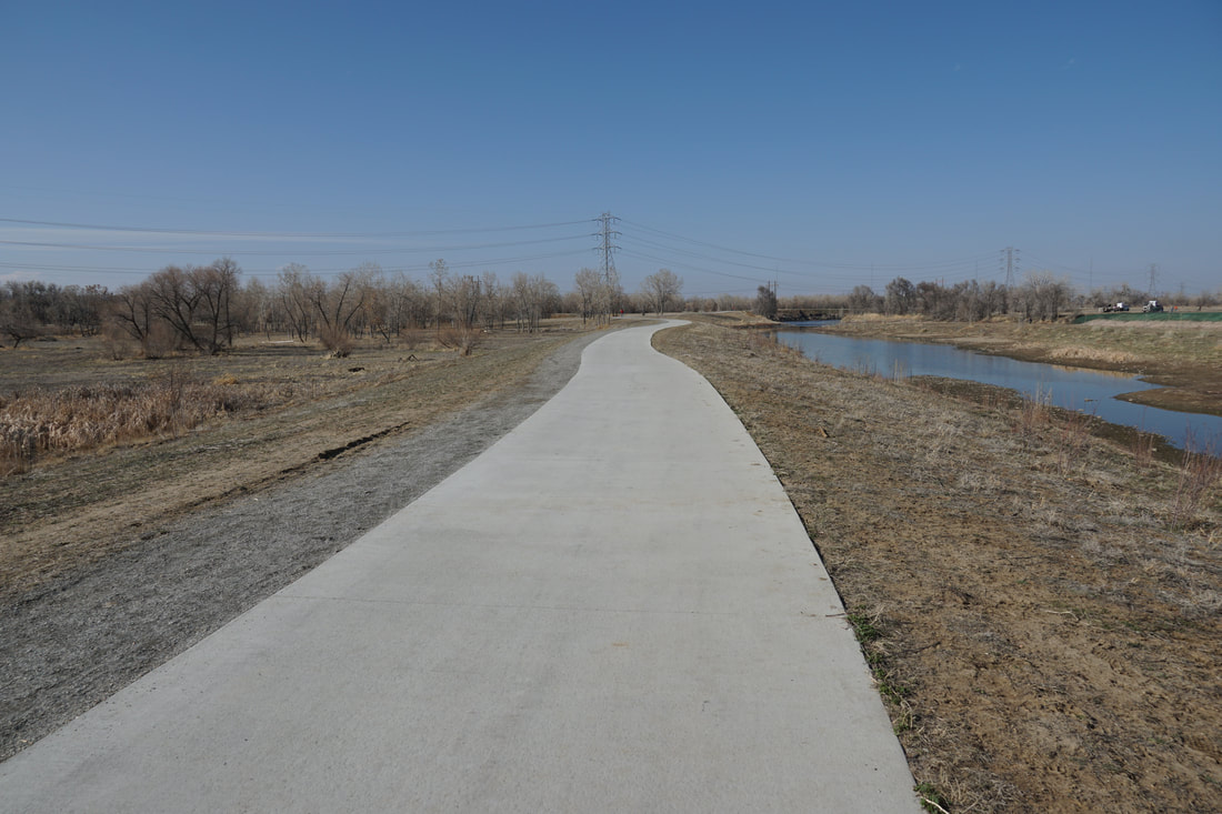
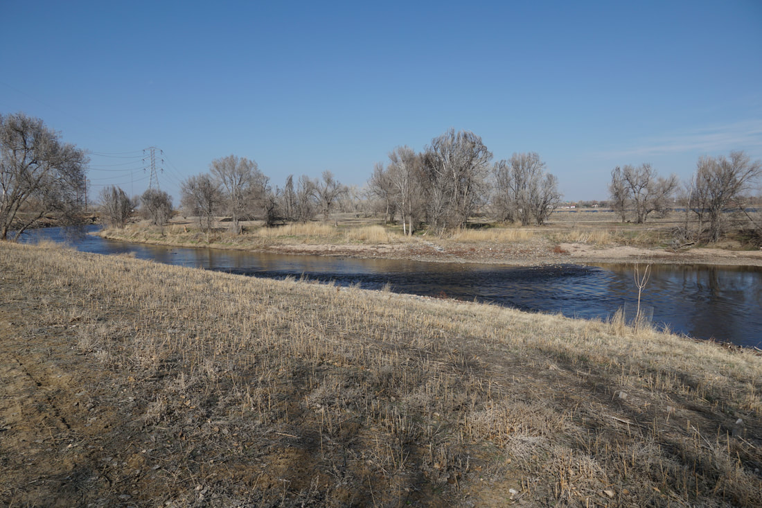
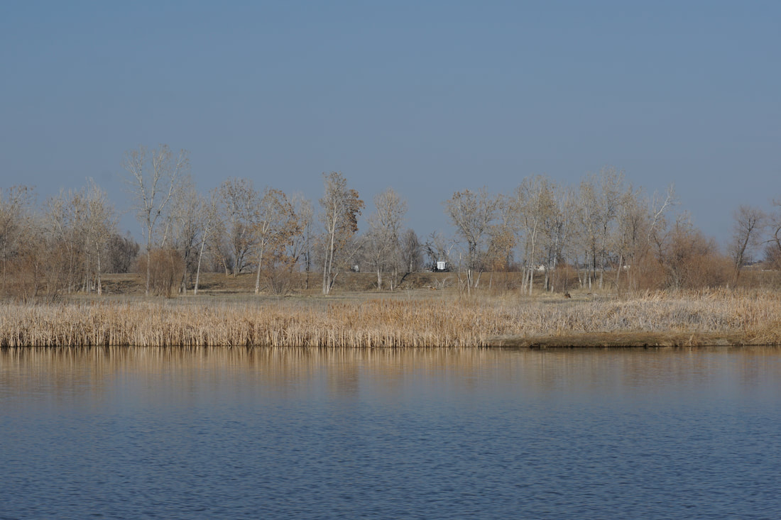
The northern section of the South Platte River Trail is a far more natural setting than the southern segments of the trail. Here, the river is wider, the shores are tree-lined and open and the trail provides a very pleasant easy hiking experience close to Denver.
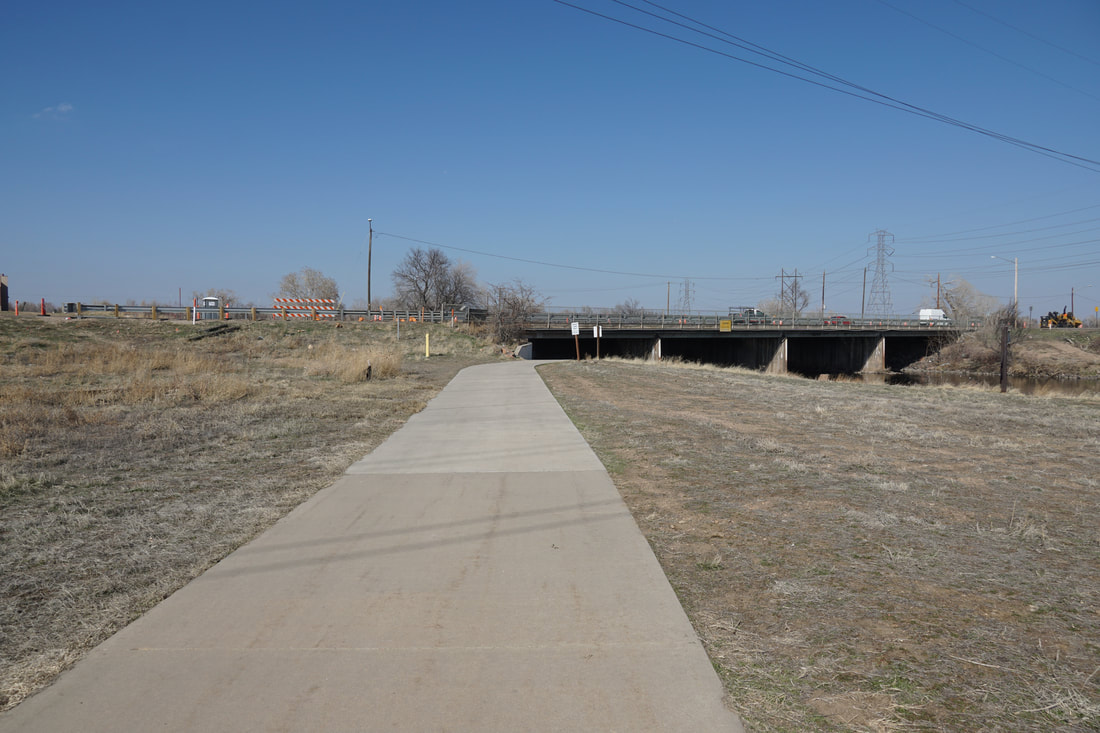
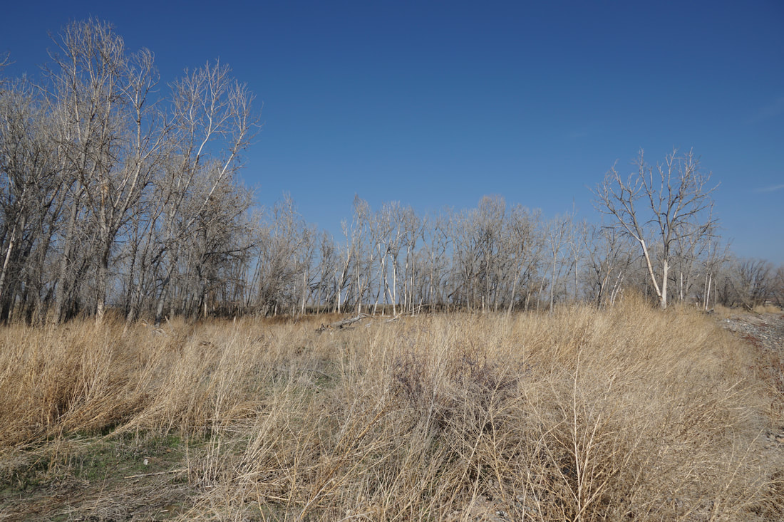
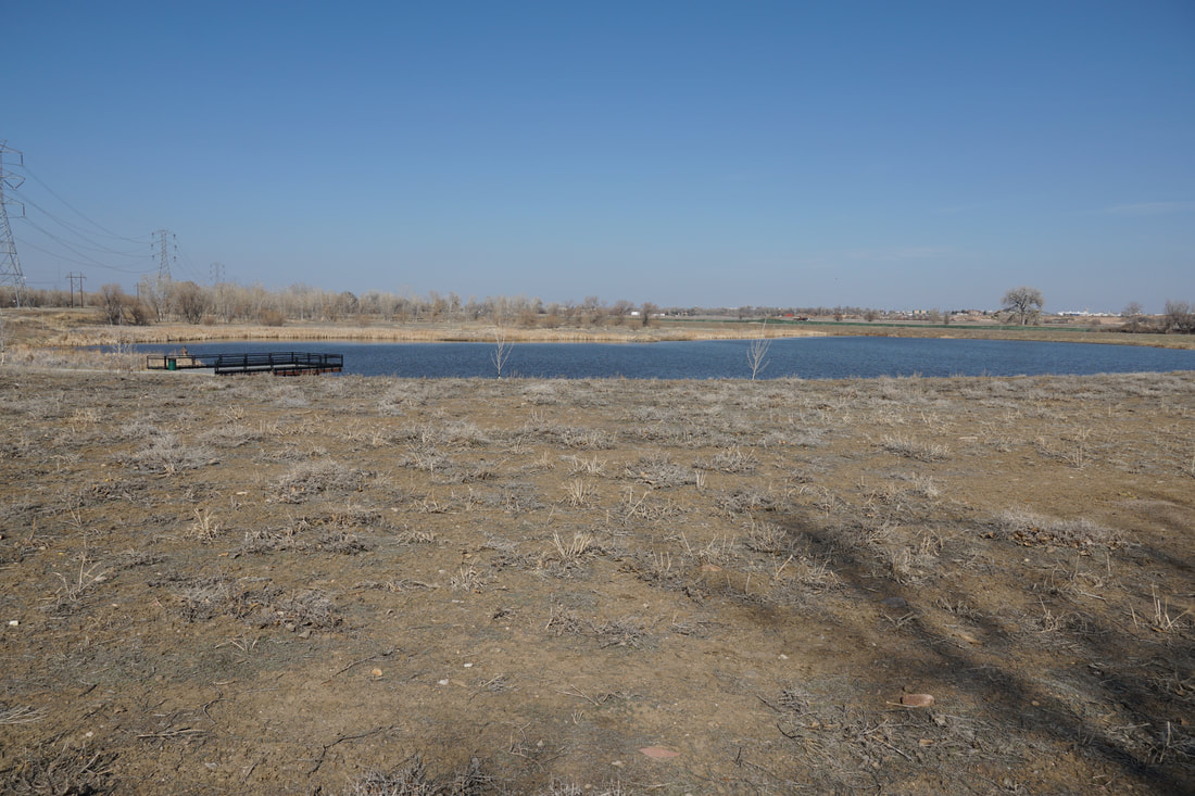
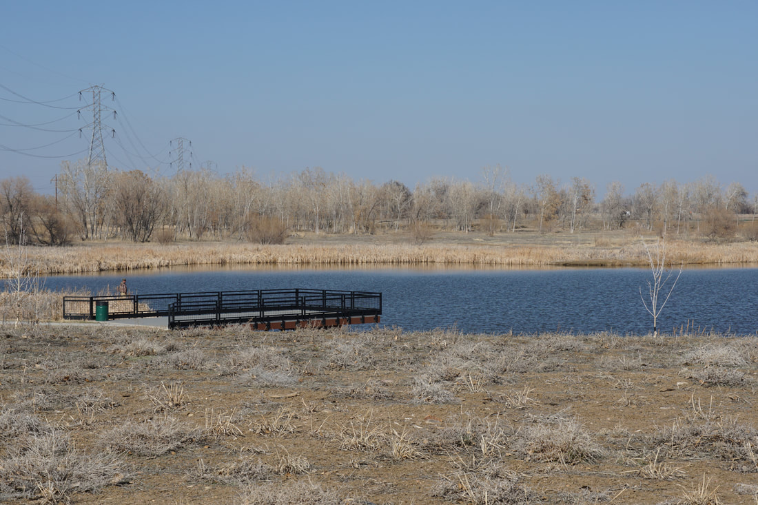
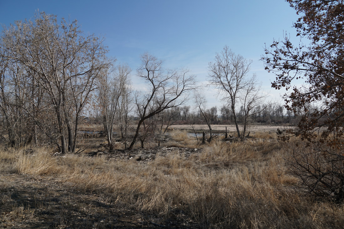
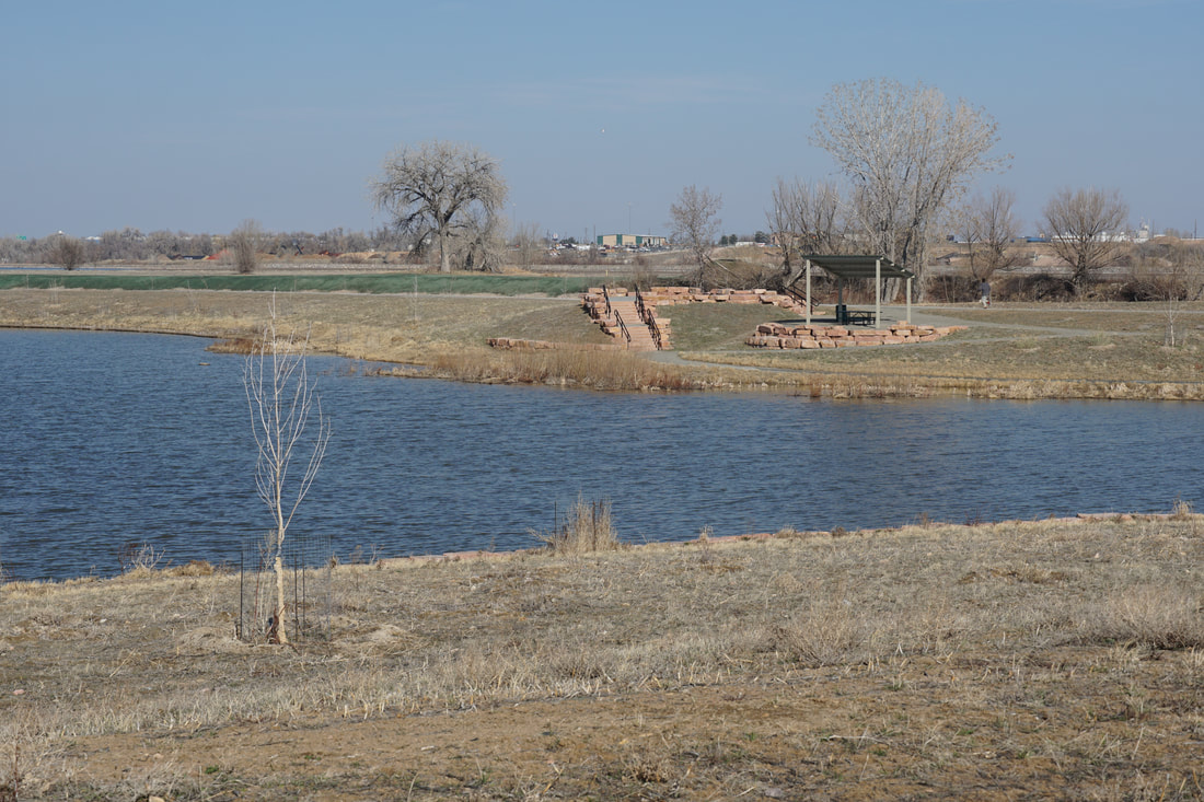
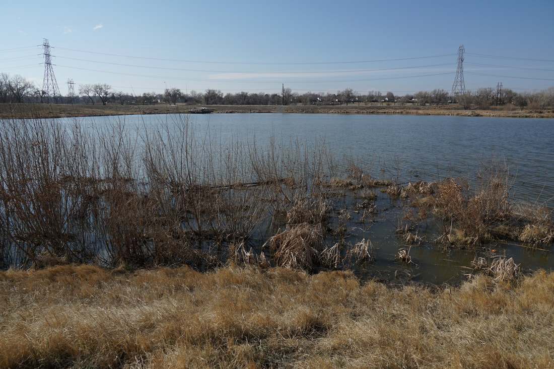
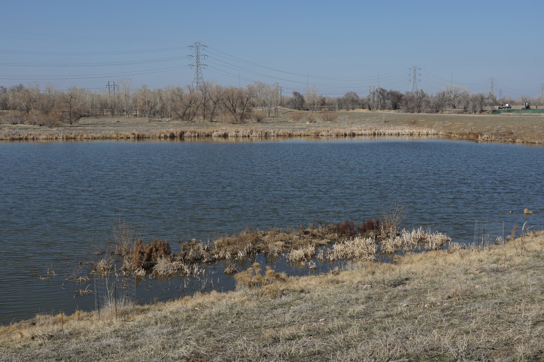
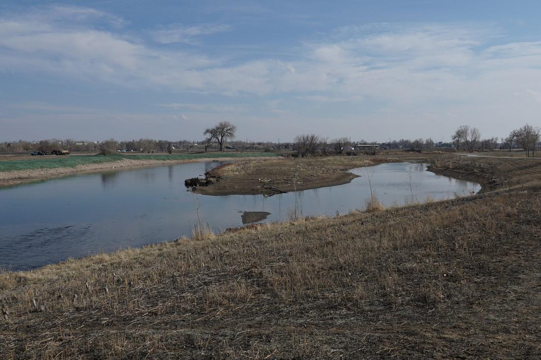
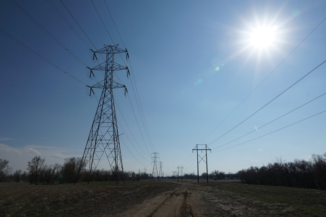
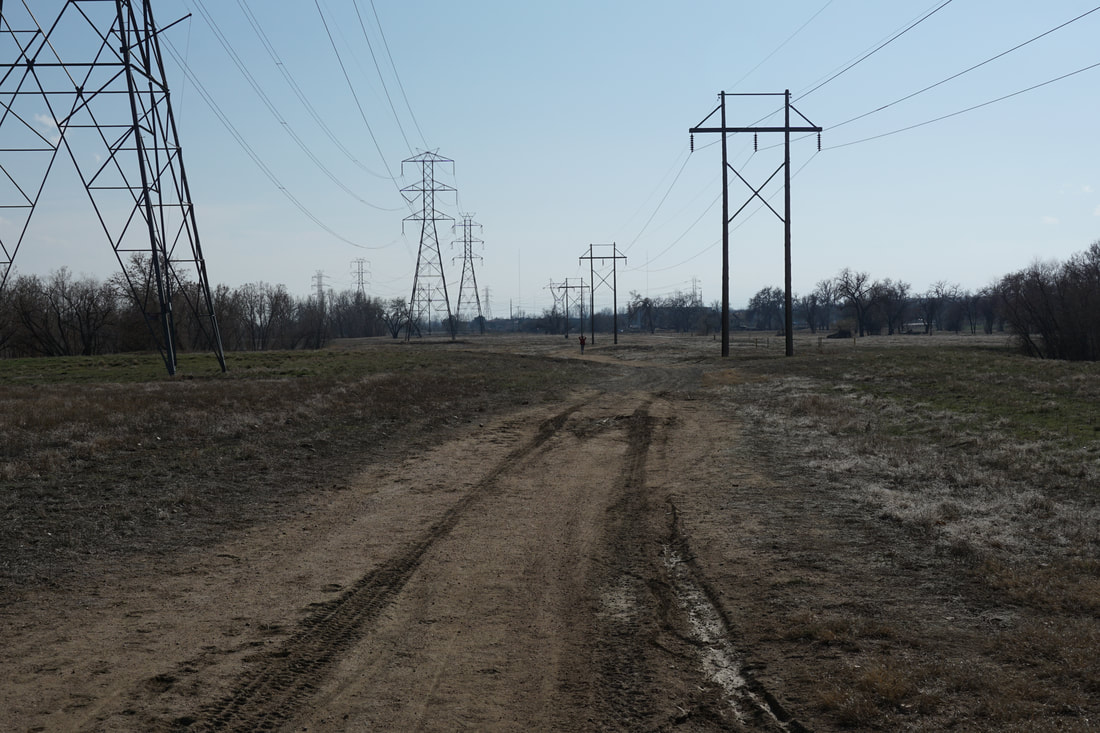
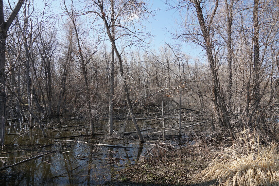
This segment begins at the Thornton Trailhead Park just south of 88th Ave. Follow the trail north under 88th Ave as the trail winds around the shores of the S. Platte high on a bluff. As you follow an oxbow in the river various social trails allow you to detour down to the river, which is a very nice area. Soon the trail veers back north and skirts the southern and eastern shores of a small lake. As you head north the trail bisects lakes and the river through a very scenic area. As you reach the northern shores of the lake, a dirt road/trail that follows the power lines with intersect the S. Platte trail. This is a nice option for your return trip as the natural surface trail runs through a nice forest and past a small swamp (yes...swamp) which marks the eastern edge of the Pelican Ponds Open Space. This trail returns you to the S. Platte Trail just before you head under 88th Ave and back to the trailhead. |
|
- HOME
- ABOUT
-
HIKES BY REGION
-
NATIONAL PARK HIKES
- BENT'S OLD FORT NATIONAL HISTORIC SITE
- BLACK CANYON OF THE GUNNISON NATIONAL PARK
- COLORADO NATIONAL MONUMENT
- CURECANTI NATIONAL RECREATION AREA
- DINOSAUR NATIONAL MONUMENT
- FLORISSANT FOSSIL BEDS NATIONAL MONUMENT
- MESA VERDE NATIONAL PARK
- ROCKY MOUNTAIN NATIONAL PARK
- GREAT SAND DUNES NATIONAL PARK
- HOVENWEEP NATIONAL MONUMENT
- SAND CREEK MASSACRE NATIONAL HISTORIC SITE
- YUCCA HOUSE NATIONAL MONUMENT
- HIKES BY CATEGORY
- NEWS
- WEBCAMS
- $UPPORT GHC
- INTERACTIVE MAP
South Platte River Trail
88th Street North Loop
Date Hiked: March 26, 2020
Distance: 2.3 mi (RT)
Elevation Gain: 150 ft
Elevation: 5,050 ft
Managing Agency: Adams County Parks
Fee: None