|
DIRECTIONS: The trailhead is located off of 74th Ave, also known as 224, just west of I-76. From I-76 take the 224 exit and head west. Just after you cross over the S. Platte, make a left into the small parking lot.
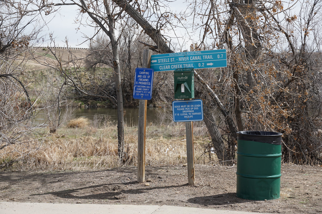
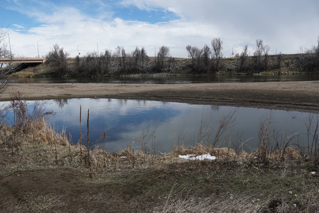
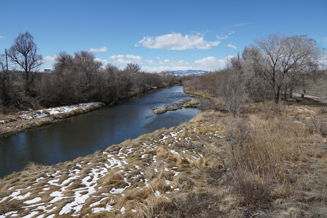
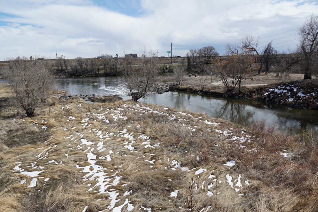
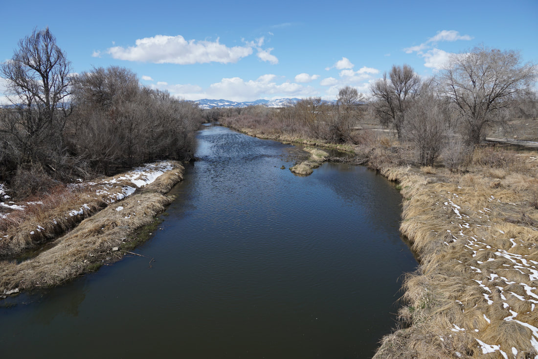
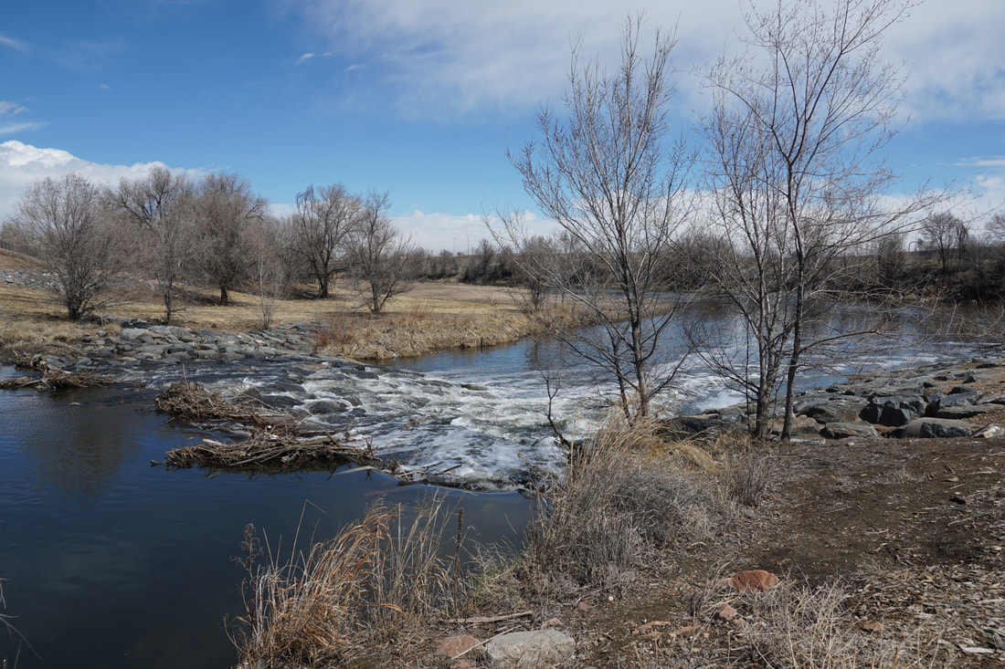
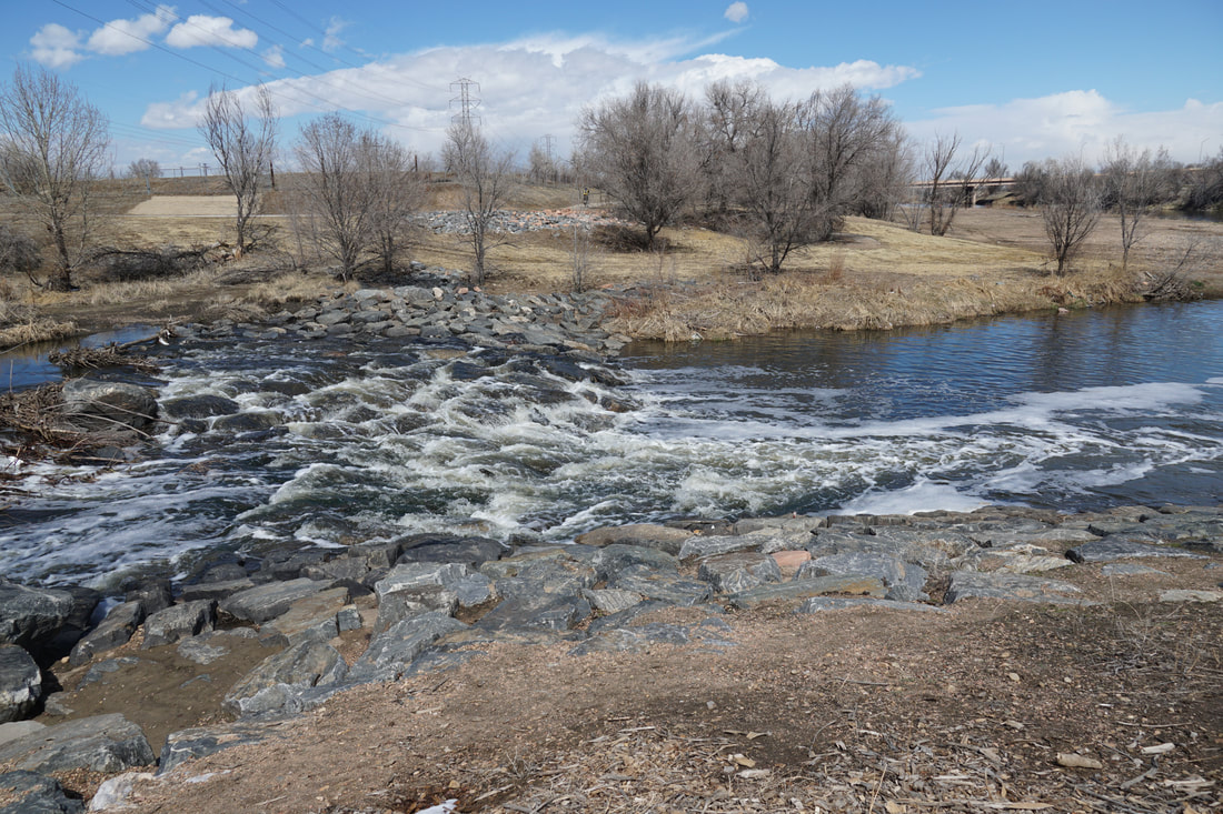
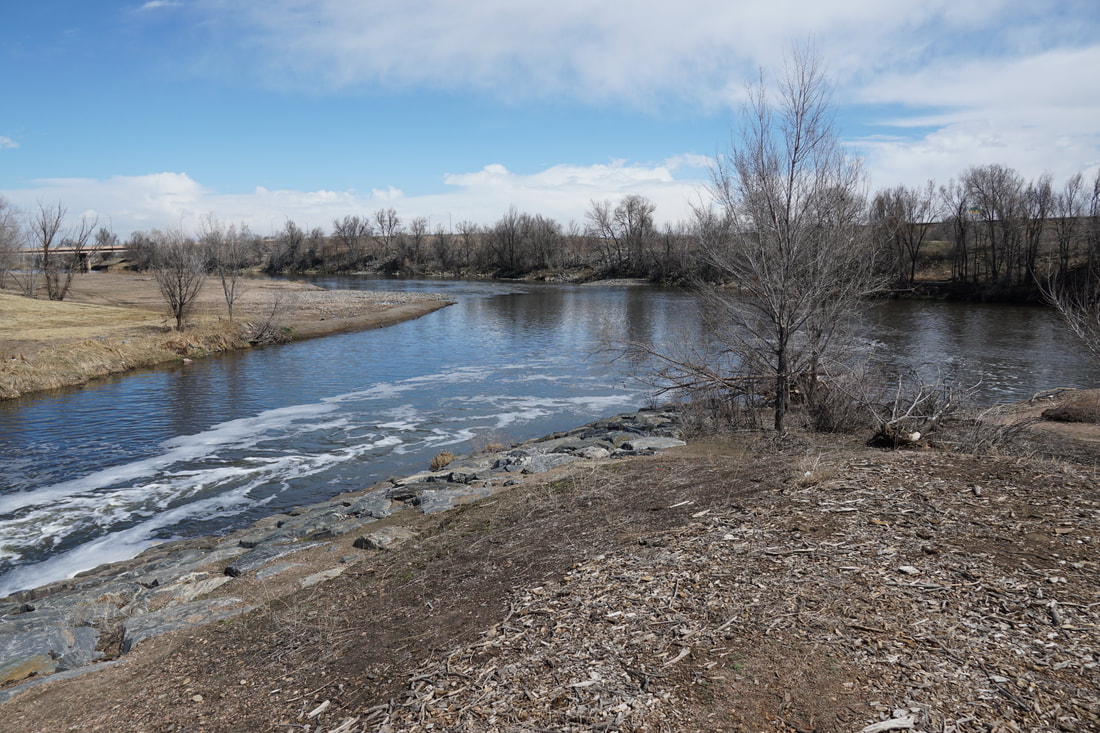
The eastern terminus of the Clear Creek Trail is at the S. Platte River. The confluence area is a very nice part of the trail and well worth a visit. The closest trailhead to the confluence is off of 74th Ave, just west of I-76. From the trailhead, you pick up the South Platte River Trail and head south.
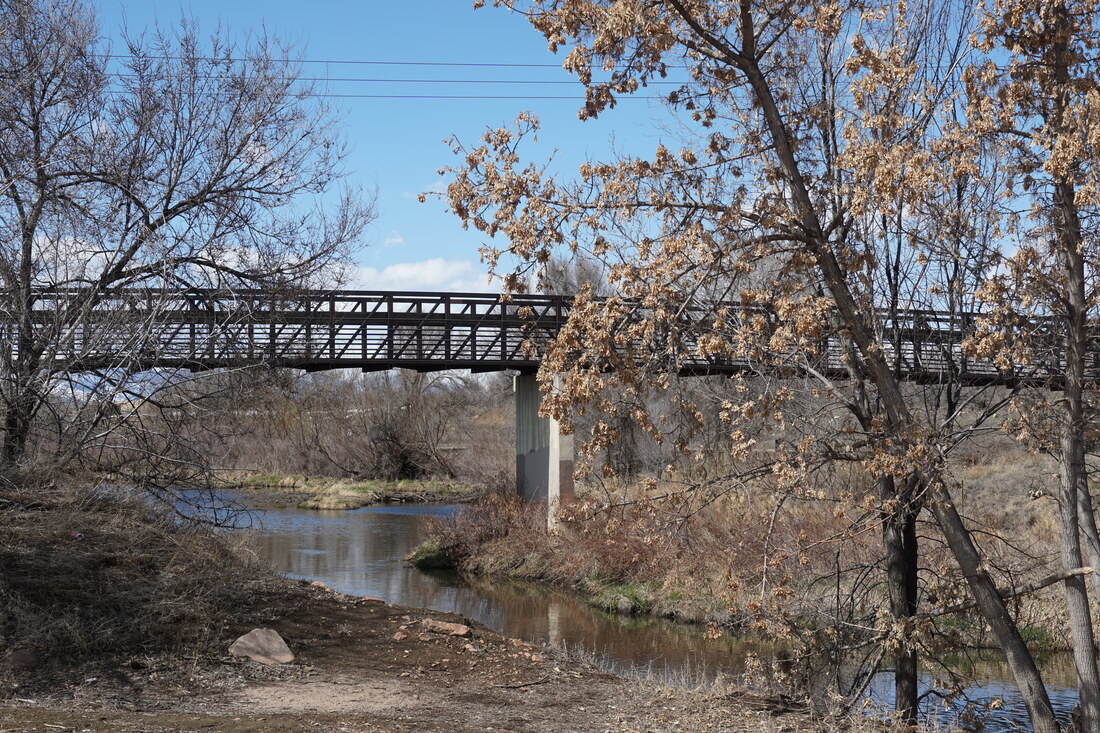
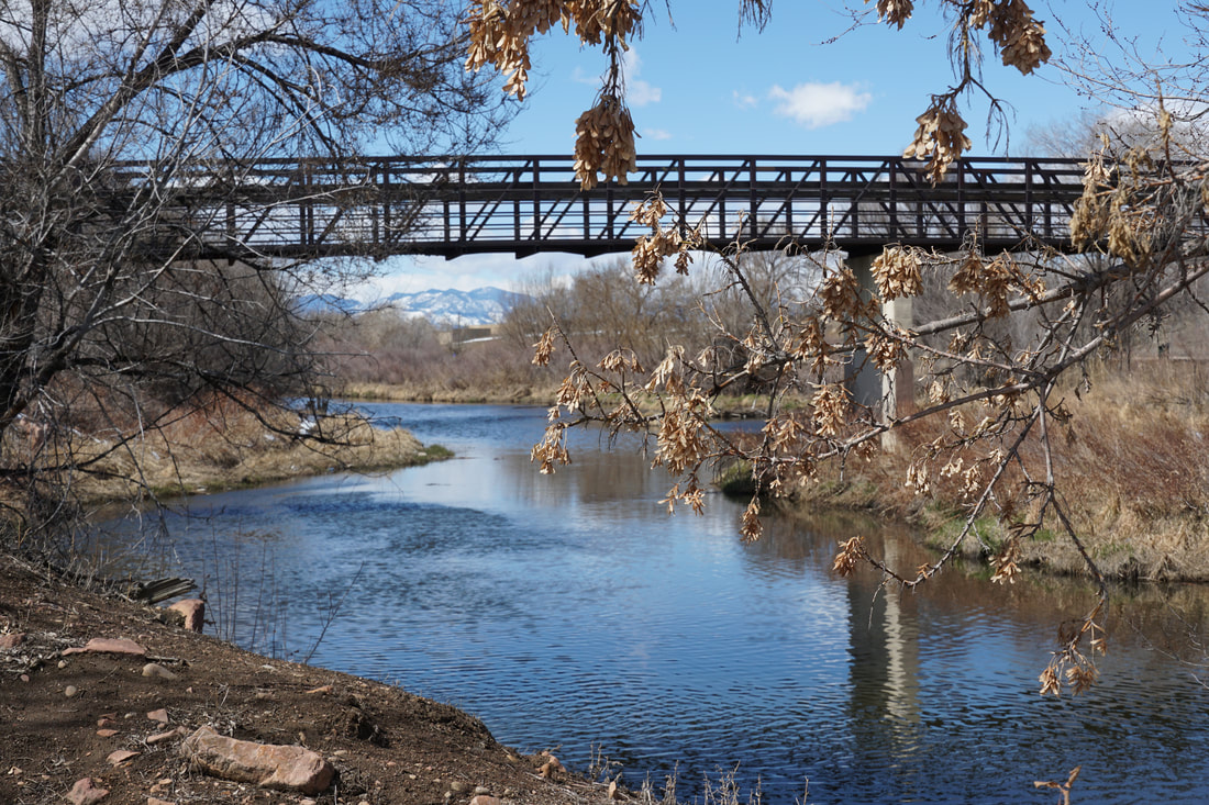
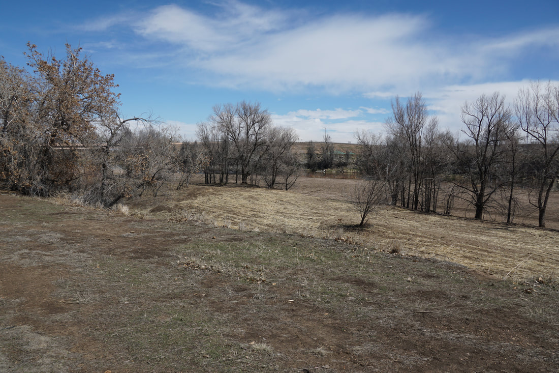
This small stretch of the South Platte River Trail is a pleasant area, there is a large swatch of natural area between the trail and the river and there are various social trails exploring the riverside. As you head south you soon reach the confluence of the two rivers. A short paved trail leads towards the confluence, a very scenic spot. The South Platte River Trail continues south by crossing a bridge, there is a cool picnic area on the far side of the bridge. The Clear Creek Trail starts (or ends...) here and heads west from the Platte. The segment of CCT is lined with trees and should be stunning in the fall. We didn't make it all that far along the CCT as this day was surprisingly windy and cold and the kiddos were not having it. Even so, the confluence of these two notable Colorado rivers is an interesting spot and makes for a worthy destination. |
|
- HOME
- ABOUT
-
HIKES BY REGION
-
NATIONAL PARK HIKES
- BENT'S OLD FORT NATIONAL HISTORIC SITE
- BLACK CANYON OF THE GUNNISON NATIONAL PARK
- COLORADO NATIONAL MONUMENT
- CURECANTI NATIONAL RECREATION AREA
- DINOSAUR NATIONAL MONUMENT
- FLORISSANT FOSSIL BEDS NATIONAL MONUMENT
- MESA VERDE NATIONAL PARK
- ROCKY MOUNTAIN NATIONAL PARK
- GREAT SAND DUNES NATIONAL PARK
- HOVENWEEP NATIONAL MONUMENT
- SAND CREEK MASSACRE NATIONAL HISTORIC SITE
- YUCCA HOUSE NATIONAL MONUMENT
- HIKES BY CATEGORY
- NEWS
- WEBCAMS
- $UPPORT GHC
- INTERACTIVE MAP
Clear Creek Trail &
South Platte River Trail
Confluence of Clear Creek & S. Platte River
Date Hiked: March 22, 2020
Distance: 1 mi (RT)
Elevation Gain: Minimal
Elevation: 5,100 ft
Managing Agency: Adams County Parks
Fee: None