|
DIRECTIONS: From I-76 exit the 88th Ave exit and head west on 88th Ave. Turn left (south) on Colorado Blvd and turn left after the round about into the parking area.
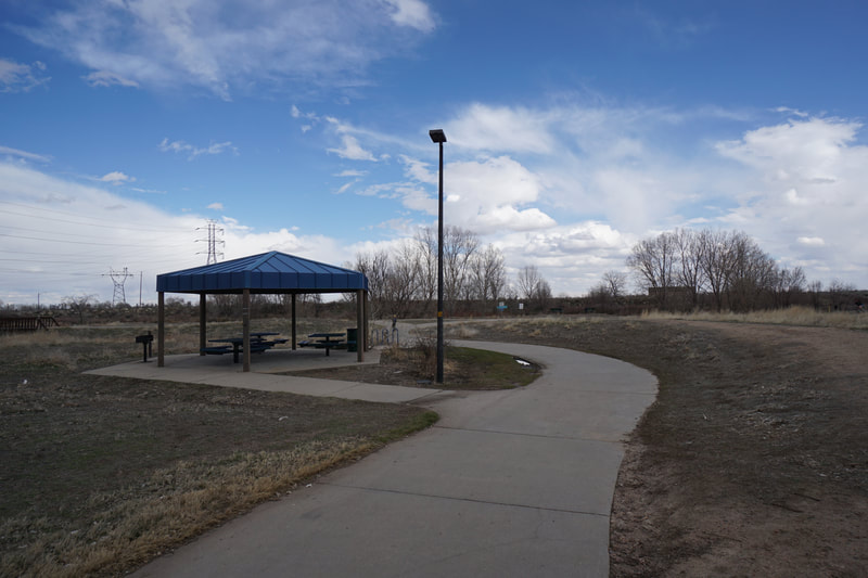
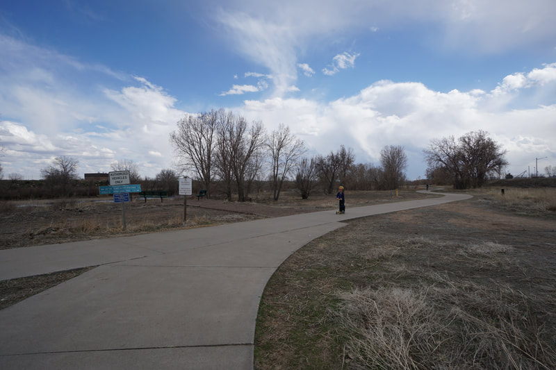
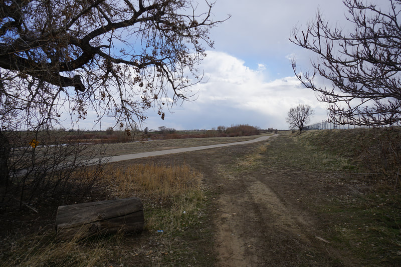
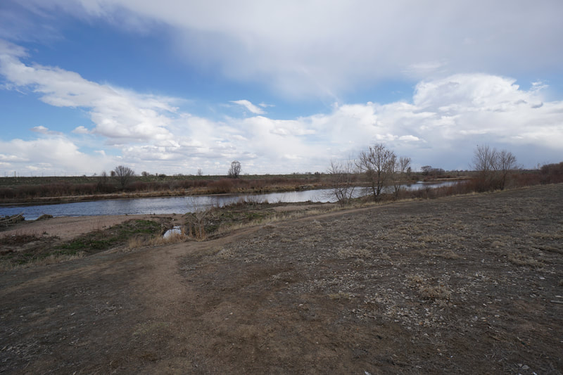
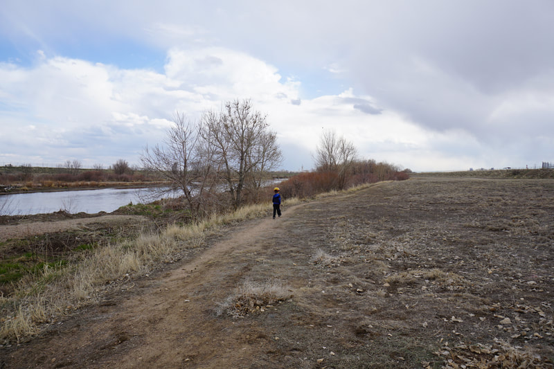
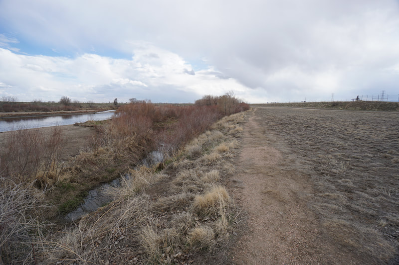
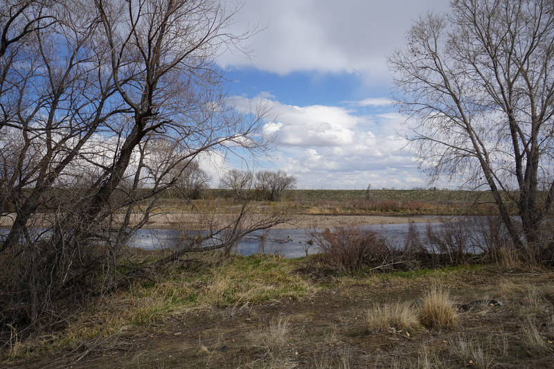
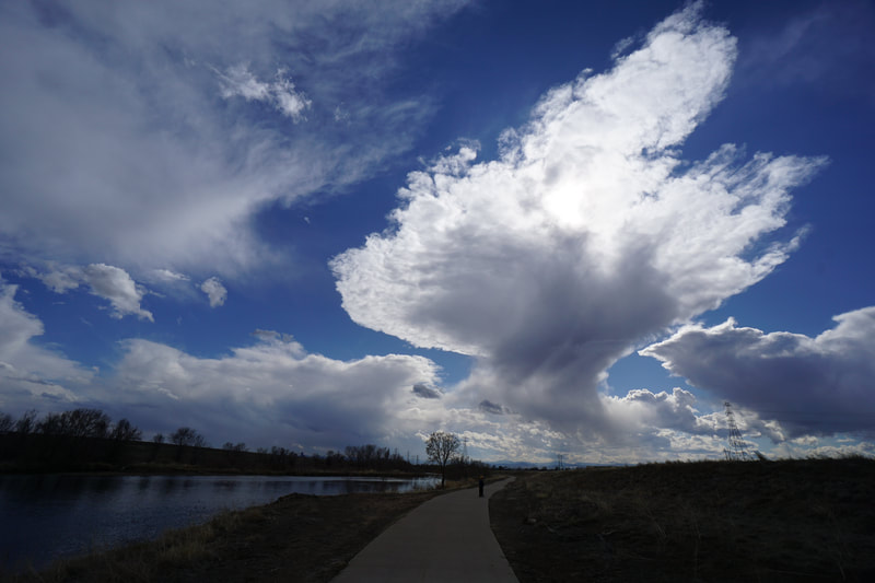
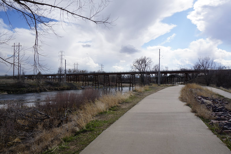
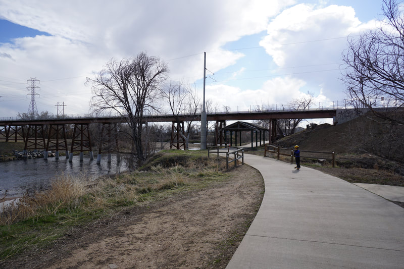
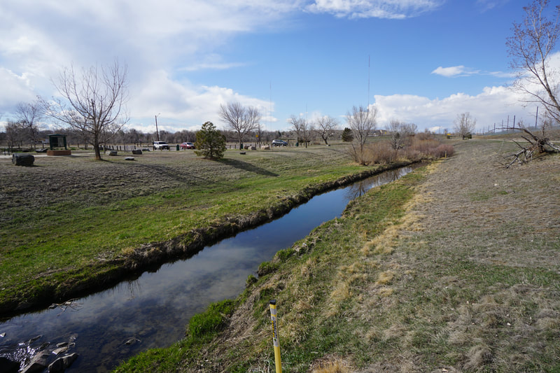
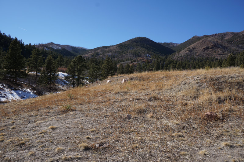
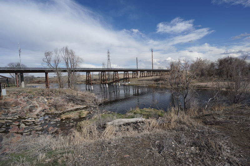
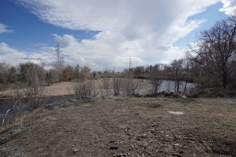
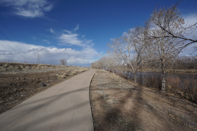
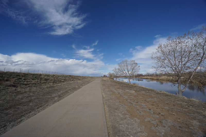
The stretch of the South Platte Trail between 88th Ave and Steele Street is a very pleasant and very straight forward hike. The corridor follows the river with multiple options for dirt social trails that either lead down to the water's edge or parallel the paved recreation trail.
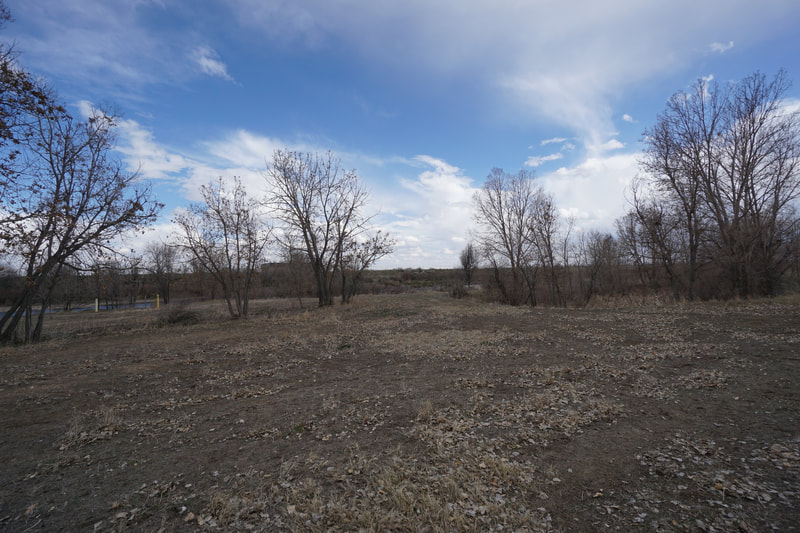
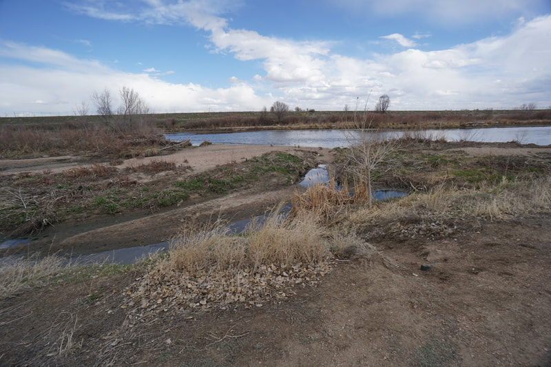
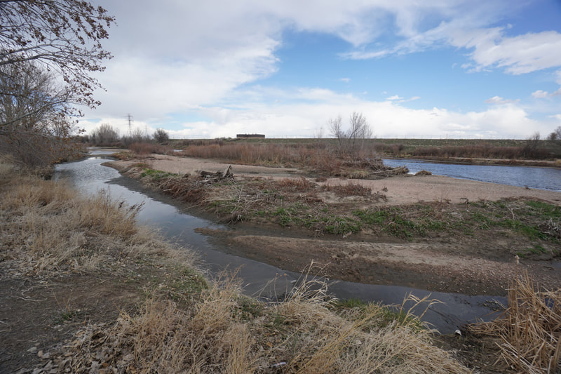
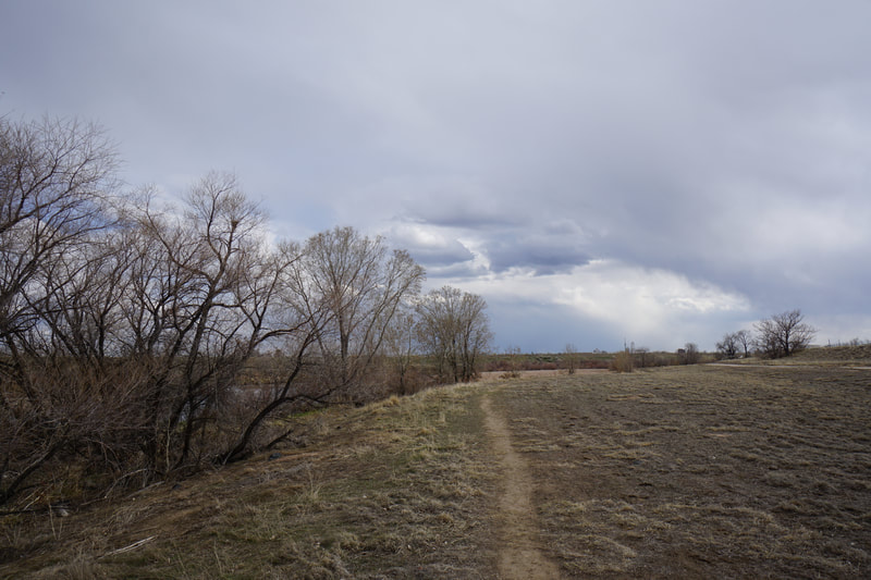
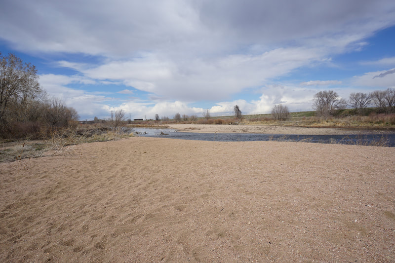
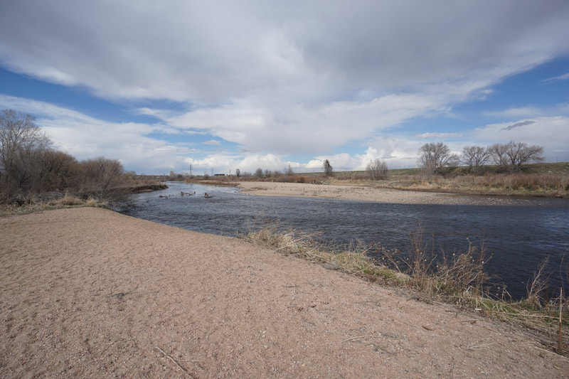
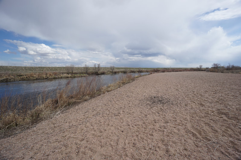
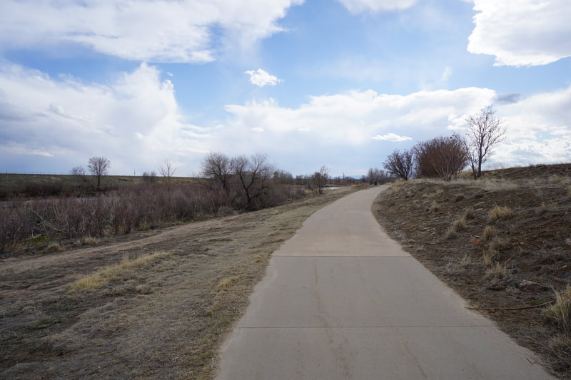
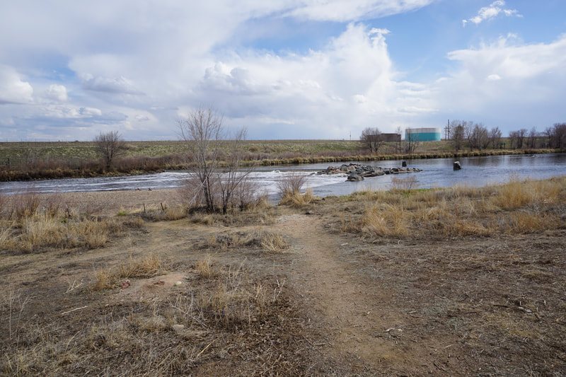
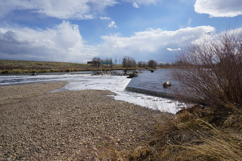
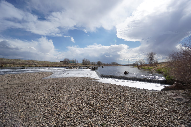
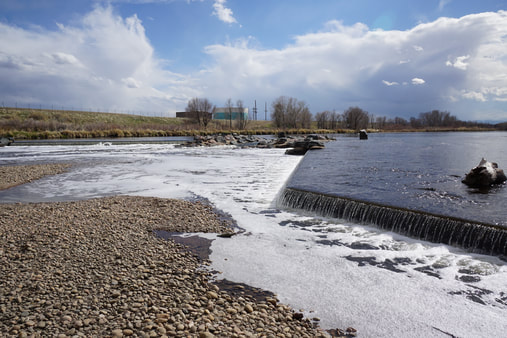
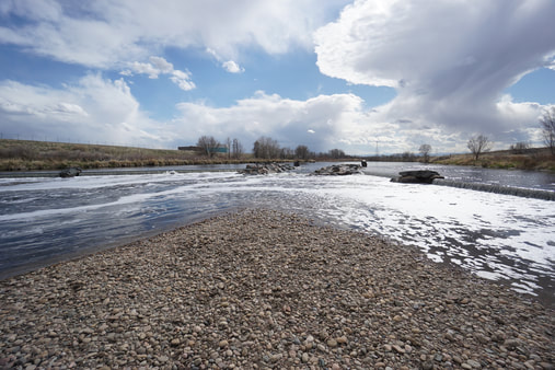
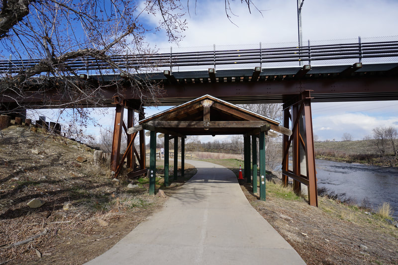
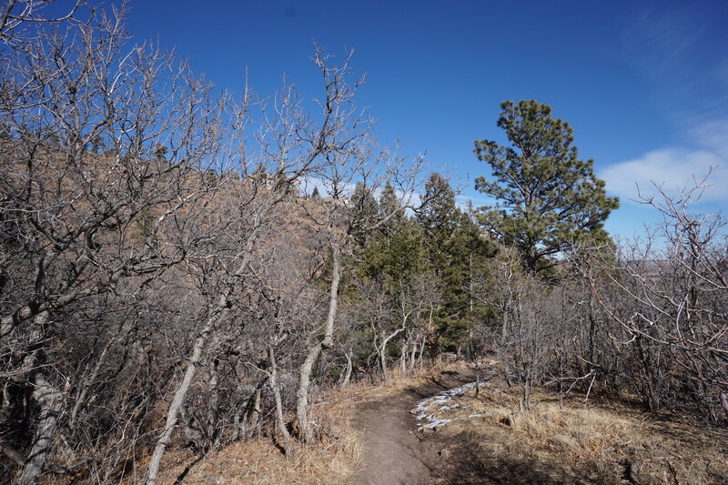
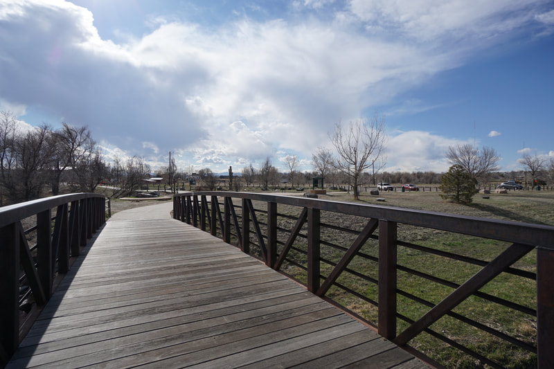
Just a few minutes after leaving the trailhead and heading south, you can start to explore the social trails. A well defined single track trail soon starts to parallel the paved trail and follows a bluff along the river. This is a very scenic part of the trail. A large sand bar is a fun place for kids to explore with beautiful views up and down river. The natural surface trail will eventually join up with the paved trail and soon after you can follow another social trail down to the river for views of a very interesting waterfall/art installation (?). This waterfall has interesting angles and is worth checking out. When you return to the trail the next segment is nice but doesn't have any noteworthy features until you reach the historic underpass. Beyond the underpass is the Steele Street Trailhead and a footbridge passing over Niver Creek. The confluence of Niver Creek and the South Platte River is very pretty and the Niver Creek Trail starts here and heads north. This is a good turnaround spot for this segment of the trail. This stretch of trail is a good example of the northern reaches of the South Platte, a bit more natural and more scenic then the stretches of trail that pass through the City of Denver and well worth exploring. |
- HOME
- ABOUT
-
HIKES BY REGION
-
NATIONAL PARK HIKES
- BENT'S OLD FORT NATIONAL HISTORIC SITE
- BLACK CANYON OF THE GUNNISON NATIONAL PARK
- COLORADO NATIONAL MONUMENT
- CURECANTI NATIONAL RECREATION AREA
- DINOSAUR NATIONAL MONUMENT
- FLORISSANT FOSSIL BEDS NATIONAL MONUMENT
- MESA VERDE NATIONAL PARK
- ROCKY MOUNTAIN NATIONAL PARK
- GREAT SAND DUNES NATIONAL PARK
- HOVENWEEP NATIONAL MONUMENT
- SAND CREEK MASSACRE NATIONAL HISTORIC SITE
- YUCCA HOUSE NATIONAL MONUMENT
- HIKES BY CATEGORY
- NEWS
- WEBCAMS
- $UPPORT GHC
- INTERACTIVE MAP
South Platte River Trail
88th Ave to Steele Street
Date Hiked: March 30, 2020
Distance: 2.8 mi (RT)
Elevation Gain: Minimal
Elevation: 5,075 ft
Managing Agency: Adams County Parks
Fee: None

