|
This is a very interesting stretch of the South Platte River Trail. The trail is a good mix of natural areas and historic Denver landmarks.
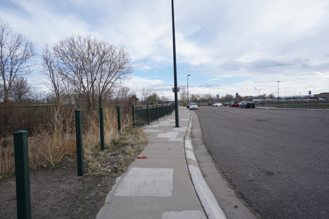
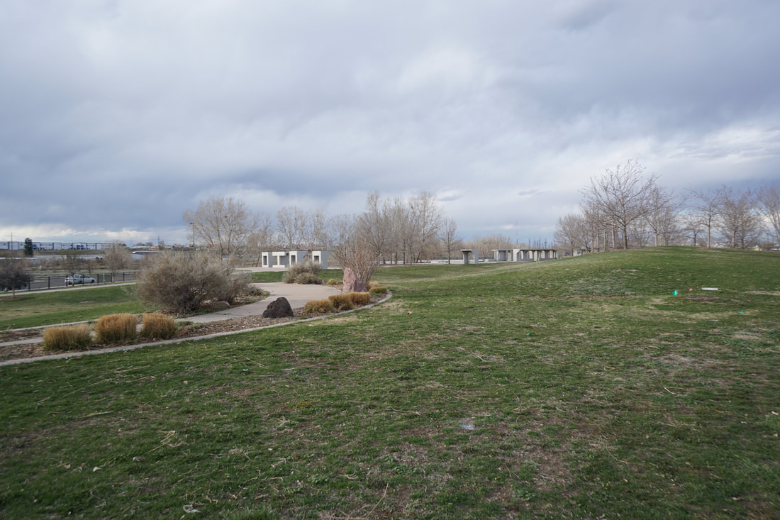
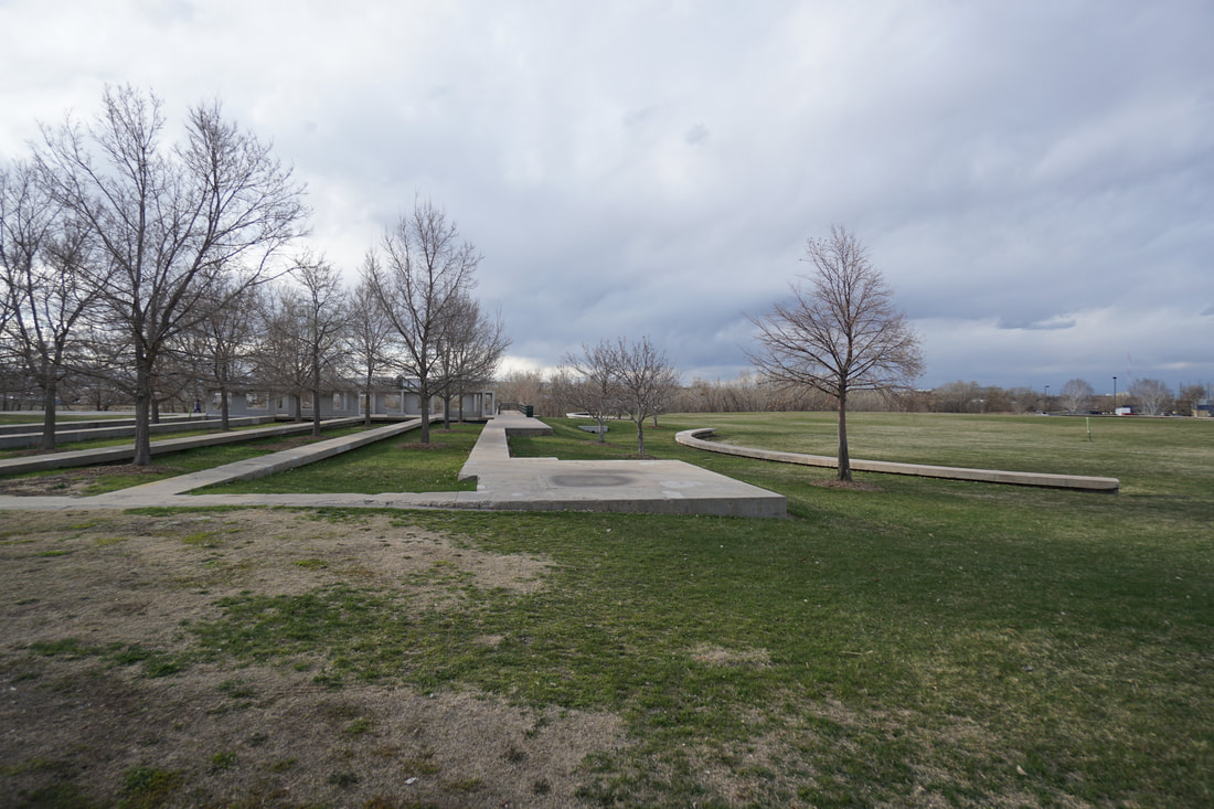
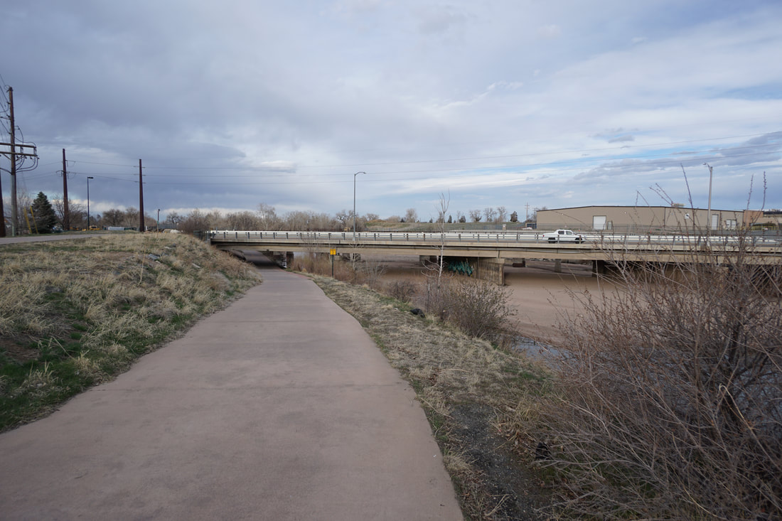
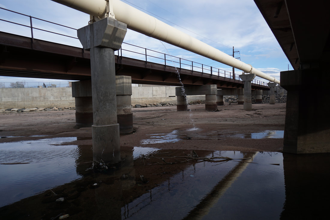
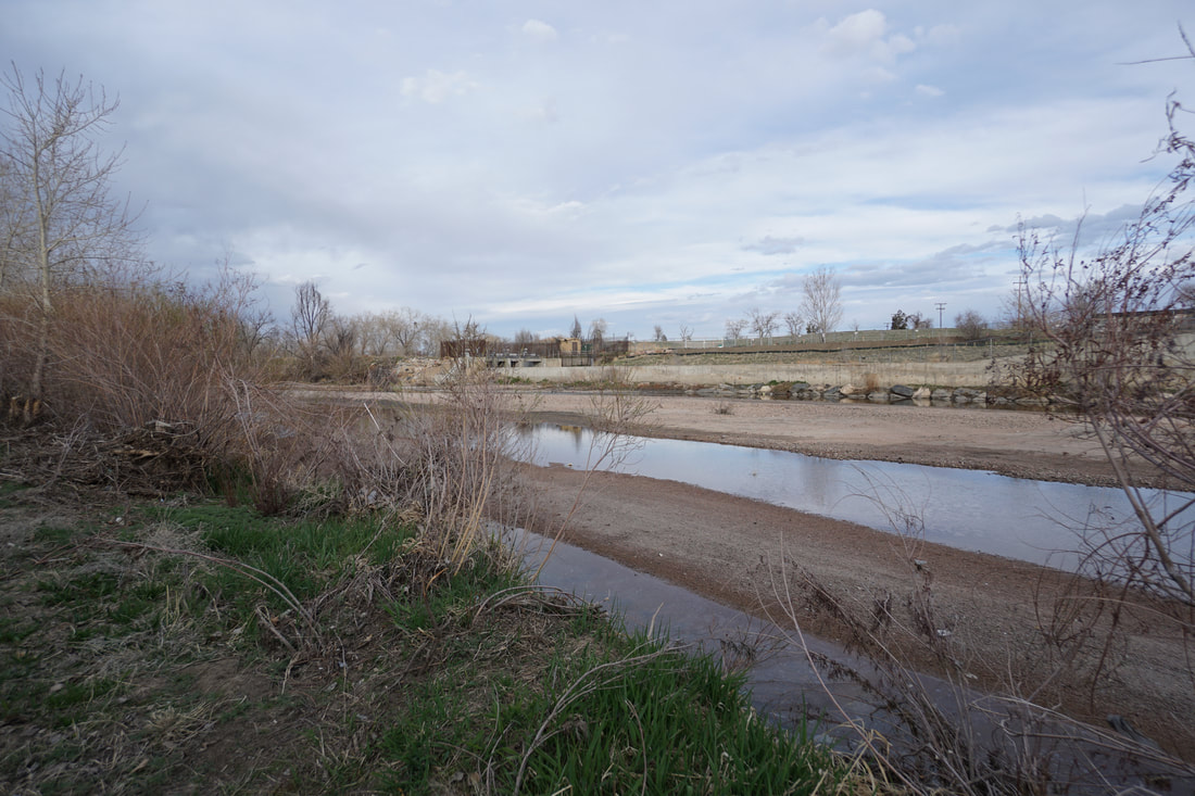
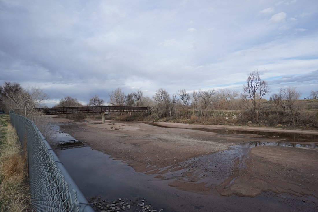
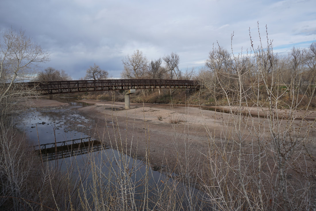
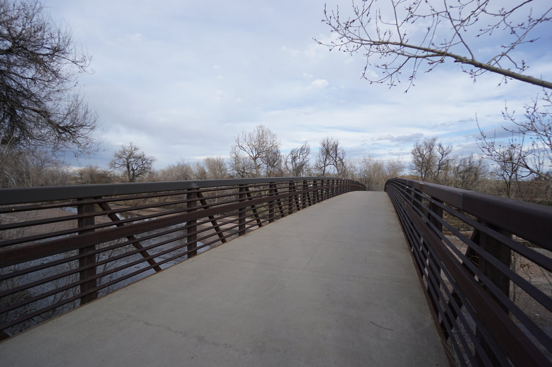
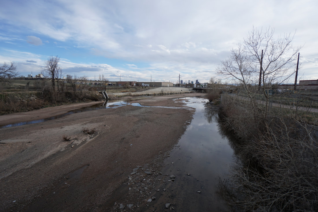
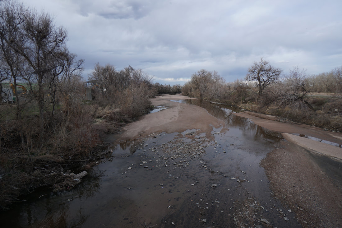
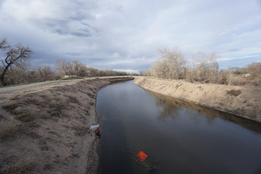
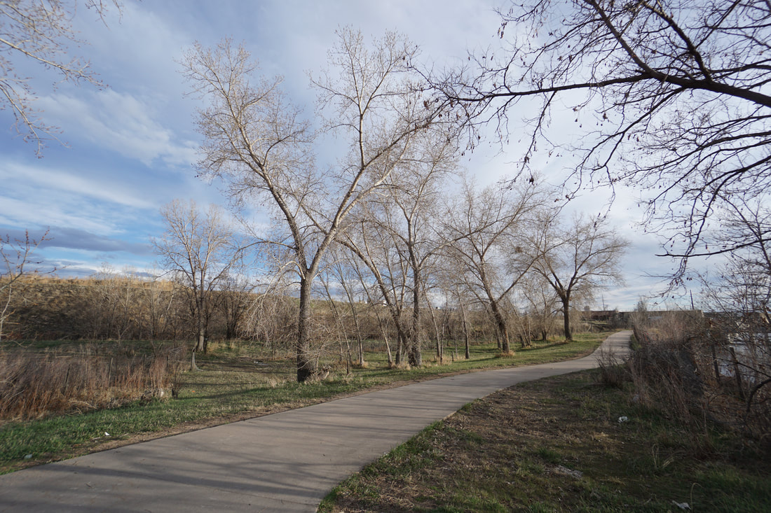
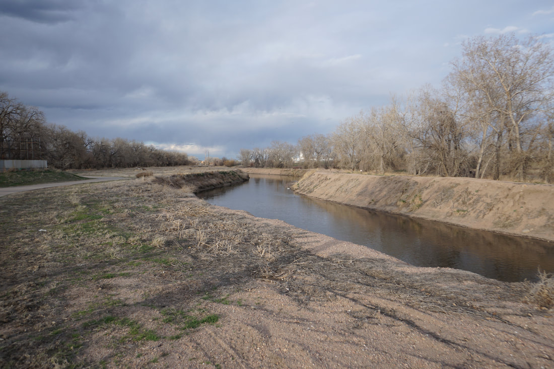
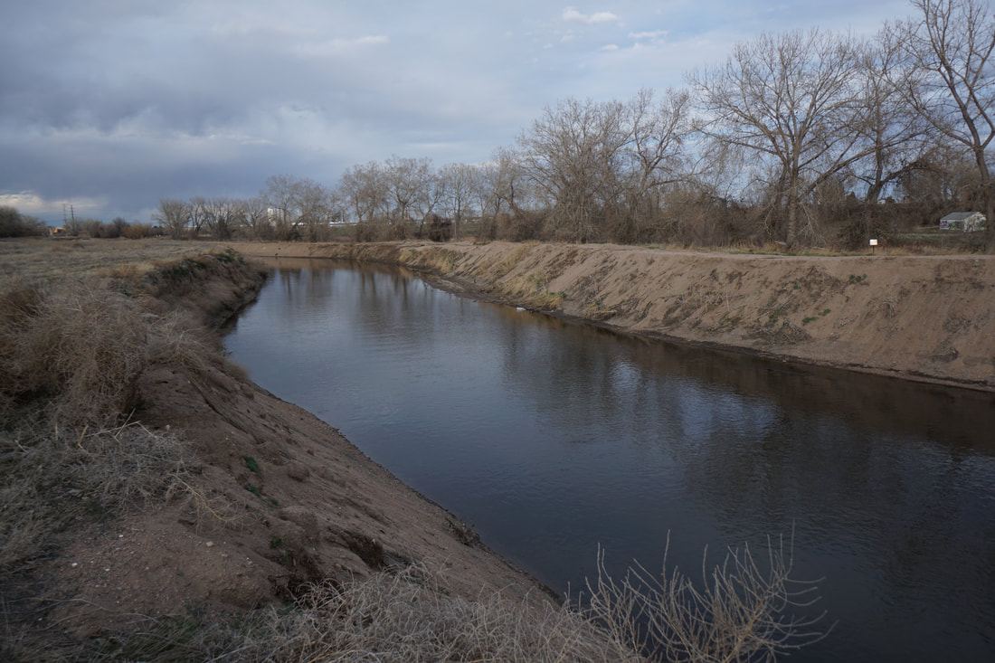
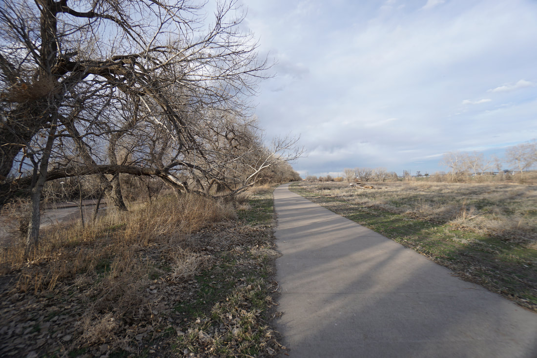
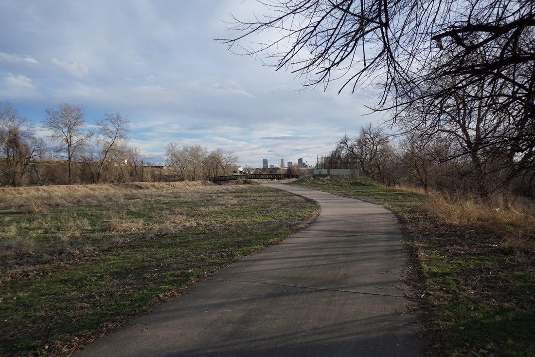
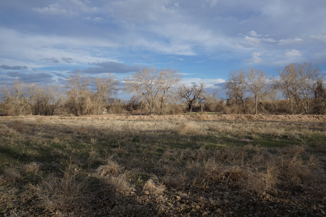
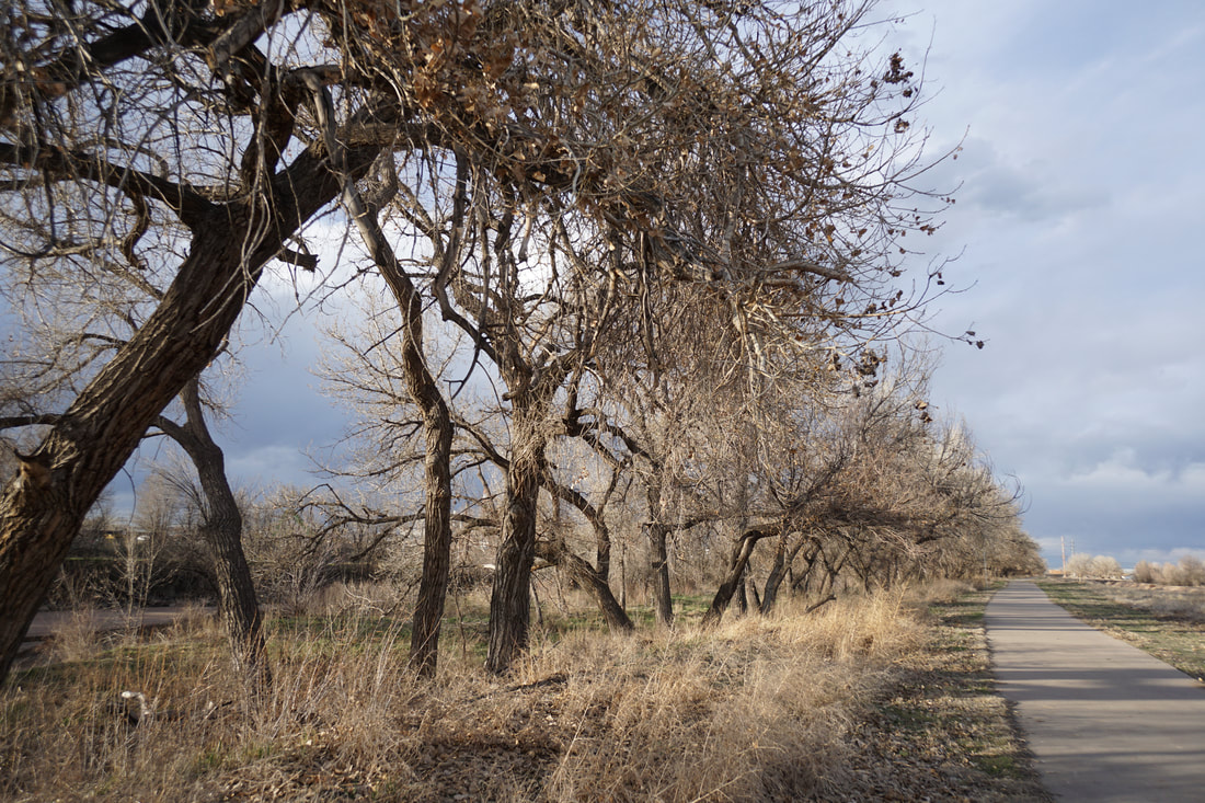
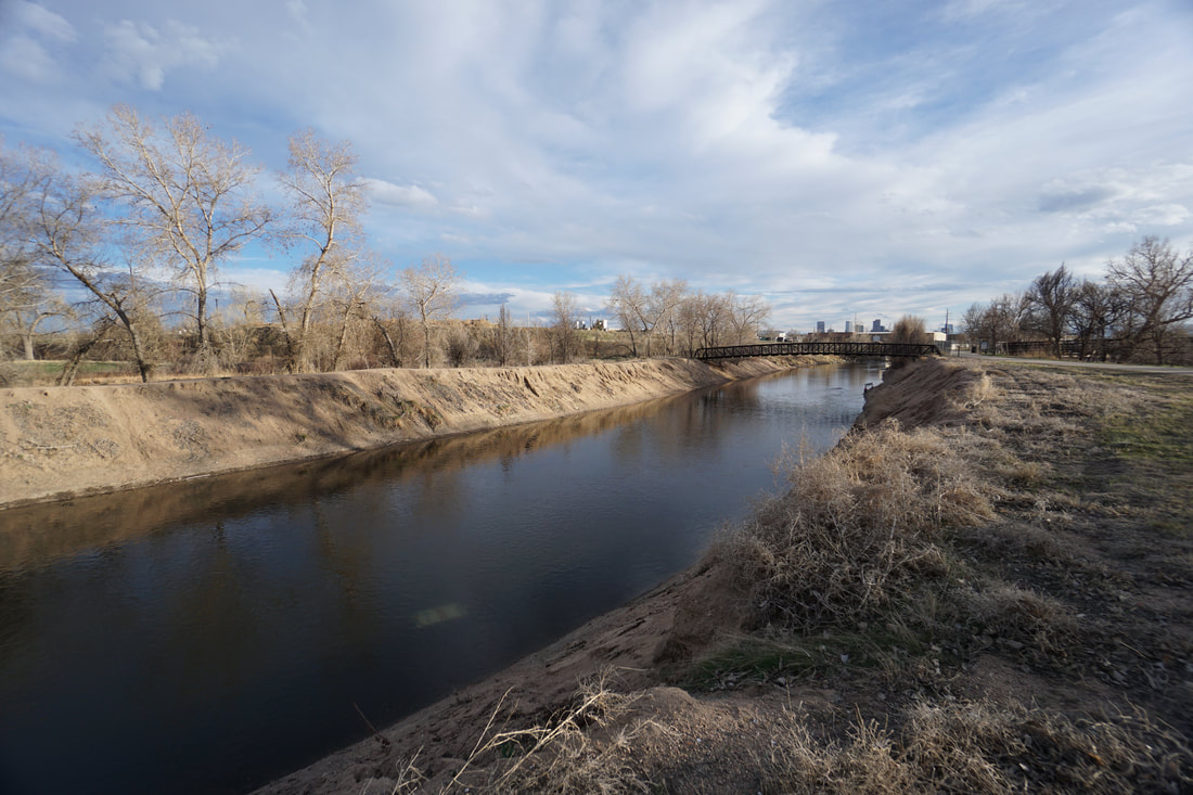
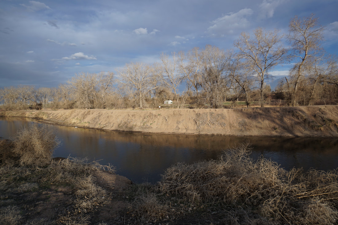
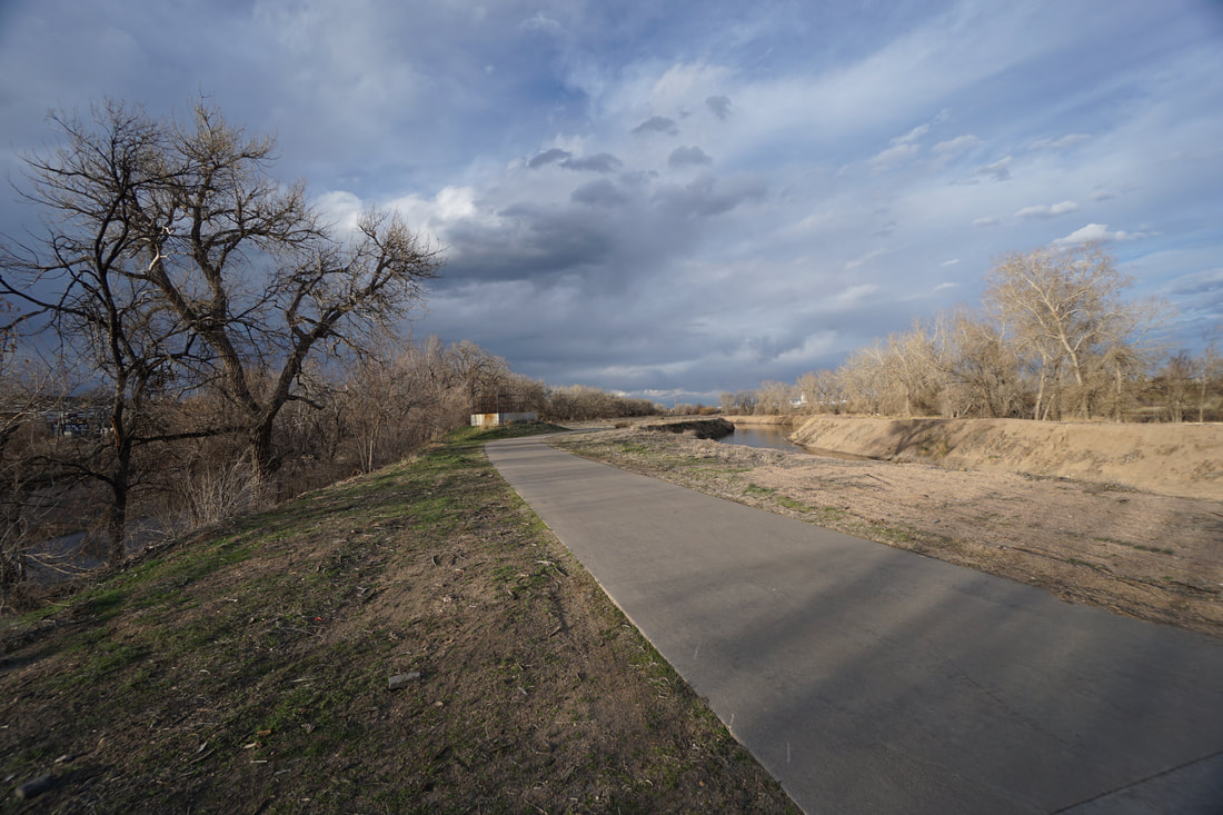
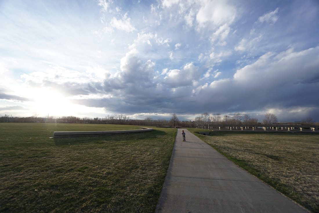
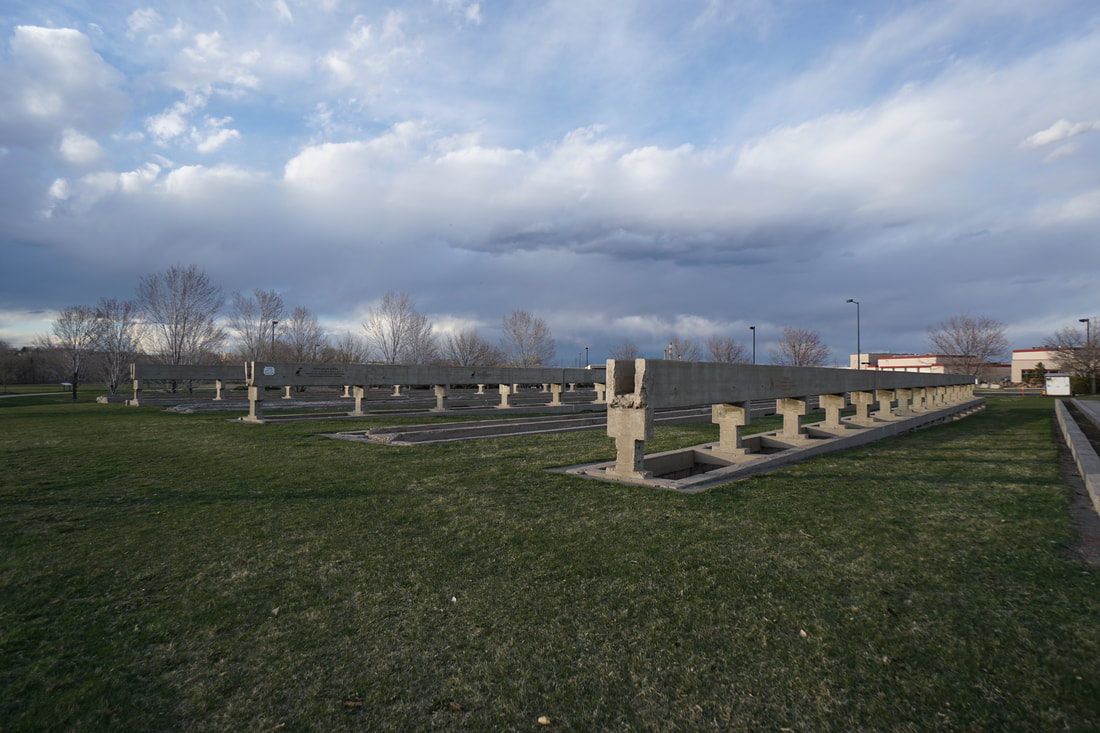
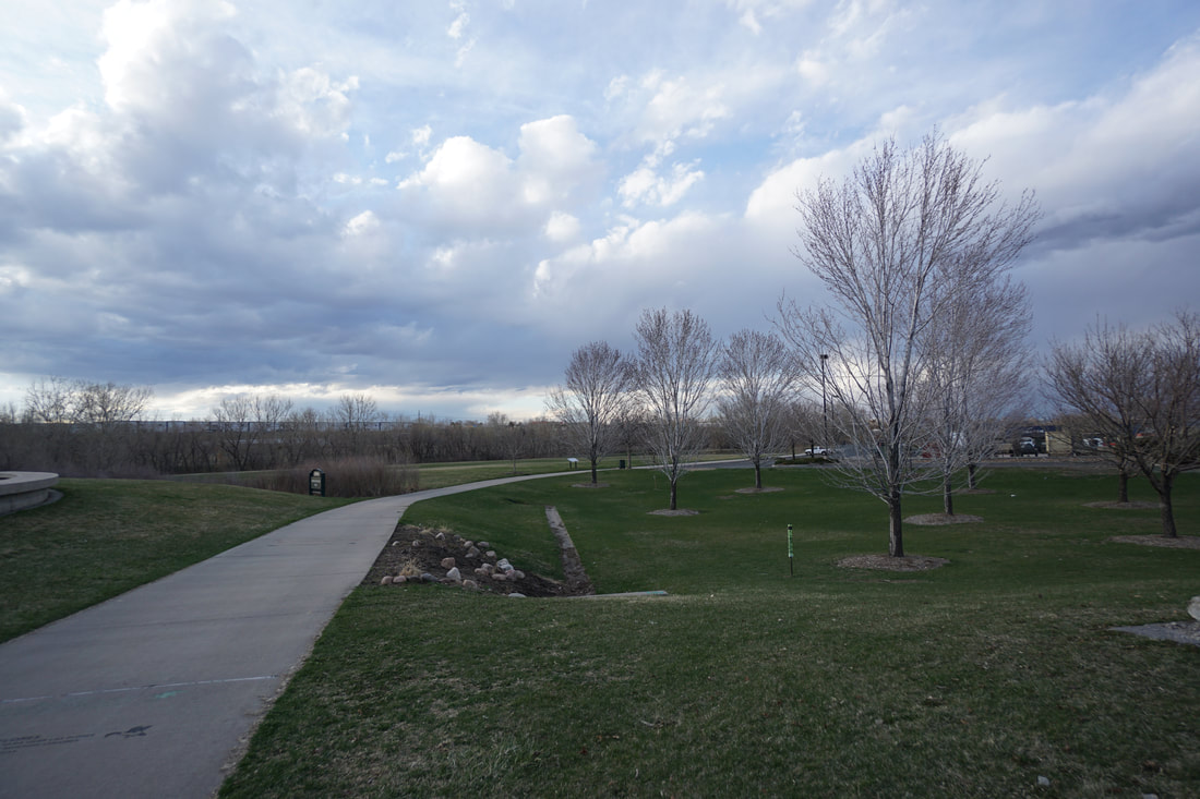
The hike starts at the Heron Pond Natural Area, a wooded pond with a trail along the eastern shore and an open space area along the western shore. From the parking lot on the eastern shore you can explore the trail before heading south to connect with the S. Platte River Trail. As you head south from the parking lot, follow the dirt trail towards the small creek and cross over, the creek is usually dry. On the far side, pick up a dirt trail and head south along the tree lined creek to a parking lot next to Carpio Sanguinette Park. This is an interesting Denver park as it was constructed on the remains of sewage treatment plant built in 1937. Many of the old structures remain, turned into park features. There are interesting structures, art installations, and historic remnants of old army buildings in this park that you can explore. When you reach the S. Platte Trail, turn left and head to the northeast. Before long you cross under Franklin Street and re-emerge at a footbridge with nice views. On the far side of the bridge the trail turns north and leads to the Burlington Ditch, a historic landmark in Denver. There is another foot bridge crossing over Burlington Ditch but it just leads to another trailhead. The trail follows Burlington Ditch through a more natural setting towards the historic Riverside Cemetery, the final resting place of some of Denver's historic founders. This is a nice area and also a good turn around point for this hike. On your way back, you can bypass the Heron Pond Trails and follow the paved walkway through Carpio Sanguinette park back to the trailhead. This is a nice stretch of trail with lots to see but you are starting to get close to some of the industrial areas north of Denver that are...less than scenic... That being said, this is an interesting hike to explore some of Denver's often overlooked history. |
|
- HOME
- ABOUT
-
HIKES BY REGION
-
NATIONAL PARK HIKES
- BENT'S OLD FORT NATIONAL HISTORIC SITE
- BLACK CANYON OF THE GUNNISON NATIONAL PARK
- COLORADO NATIONAL MONUMENT
- CURECANTI NATIONAL RECREATION AREA
- DINOSAUR NATIONAL MONUMENT
- FLORISSANT FOSSIL BEDS NATIONAL MONUMENT
- MESA VERDE NATIONAL PARK
- ROCKY MOUNTAIN NATIONAL PARK
- GREAT SAND DUNES NATIONAL PARK
- HOVENWEEP NATIONAL MONUMENT
- SAND CREEK MASSACRE NATIONAL HISTORIC SITE
- YUCCA HOUSE NATIONAL MONUMENT
- HIKES BY CATEGORY
- NEWS
- WEBCAMS
- $UPPORT GHC
- INTERACTIVE MAP
South Platte River Trail
Heron Pond Natural Area to Burlington Ditch
Date Hiked: April 1, 2020
Distance: 1.7 mi (RT)
Elevation Gain: Minimal
Elevation: 5,125 ft
Managing Agency: Denver Parks & Recreation
Fee: None