|
DIRECTIONS: From I-76, heading north from Denver, take the branch for 85 N. At 136th Ave, turn left (west). At Brighton Road turn right (north) and make a quick left (west) onto an unsigned dirt road that leads down to the trailhead.
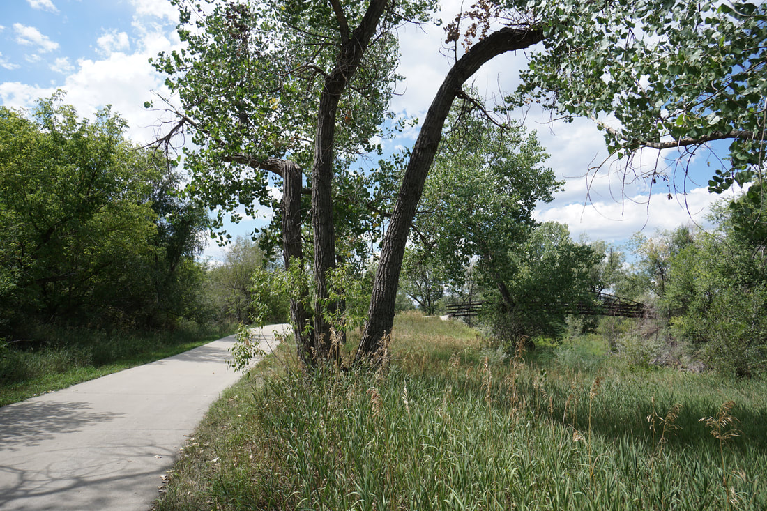
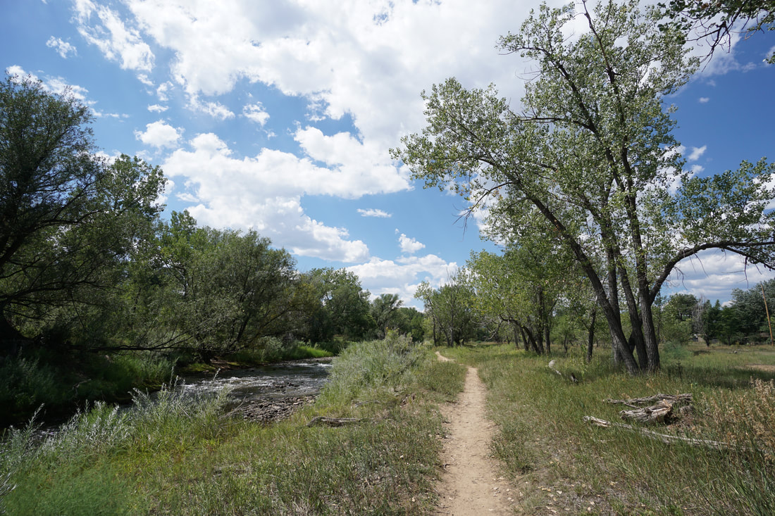
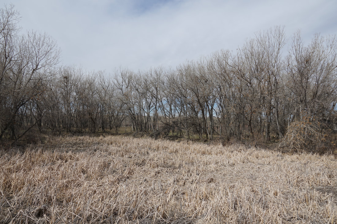
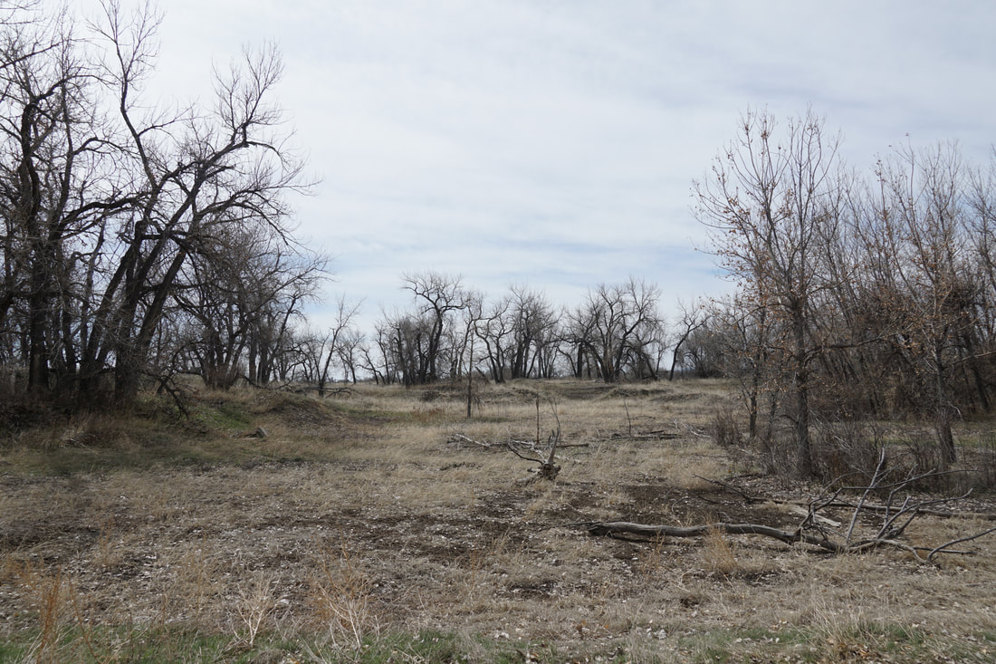
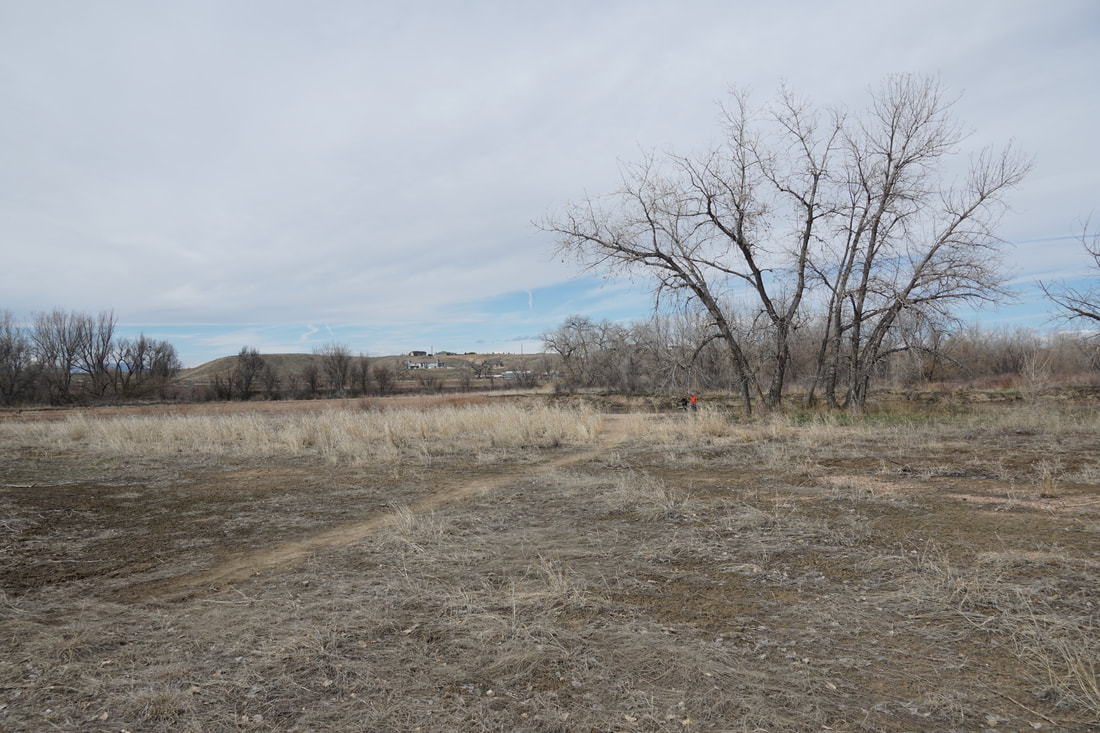
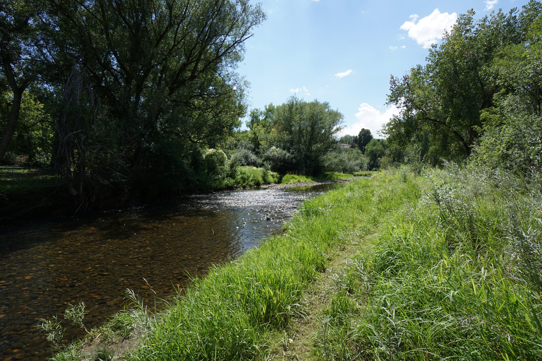
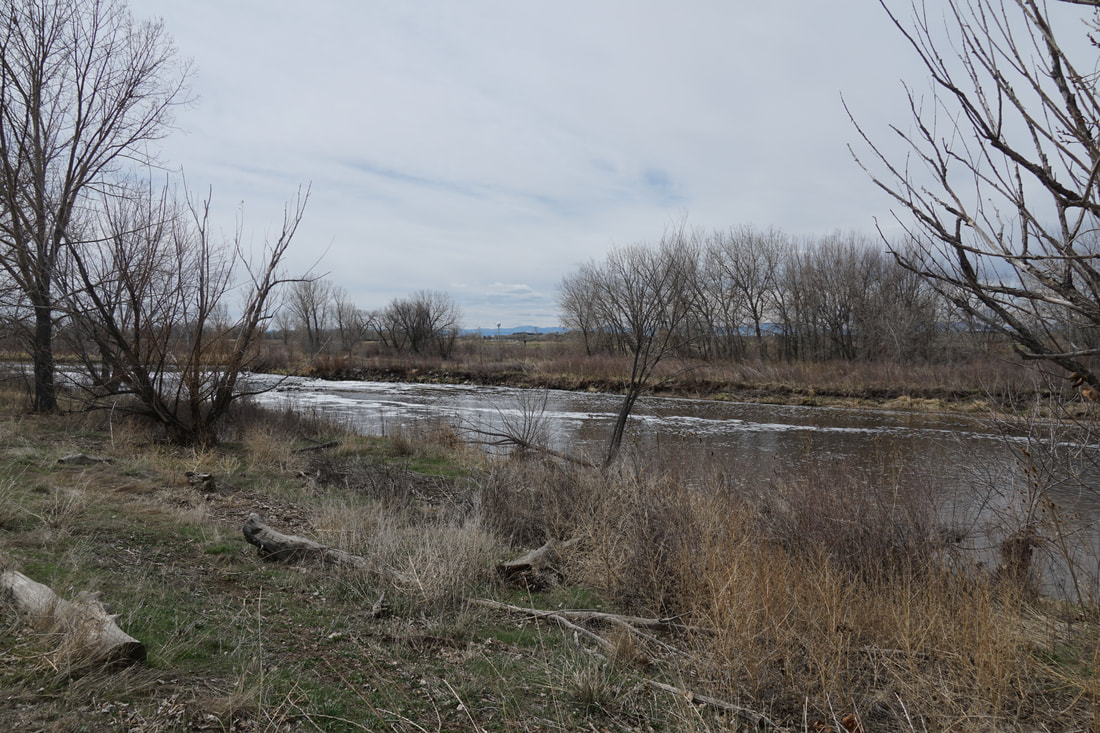
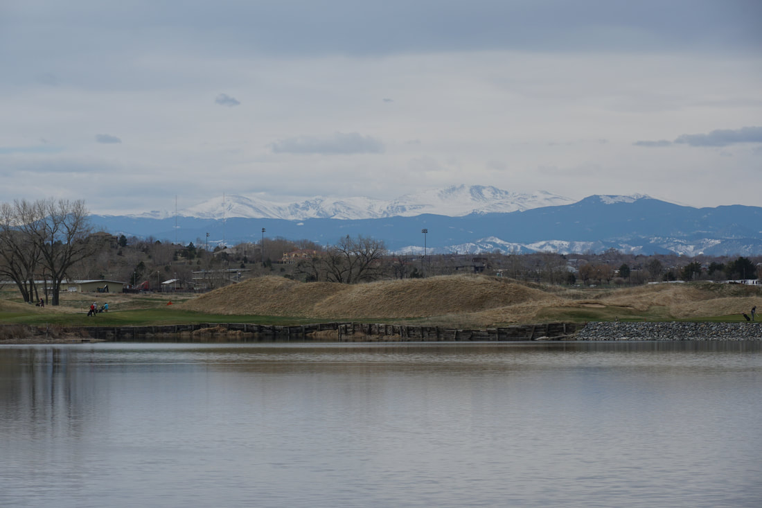
This hike explores the current northern end of the South Platte River Trail, it looks like they are constructing additional trail that would extend north from this point. This portion of the trail is extremely scenic as the majority of the trail passes through a wide open natural area. There are nice views of the mountains from various spots along the trail.
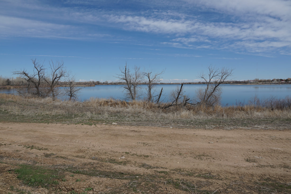
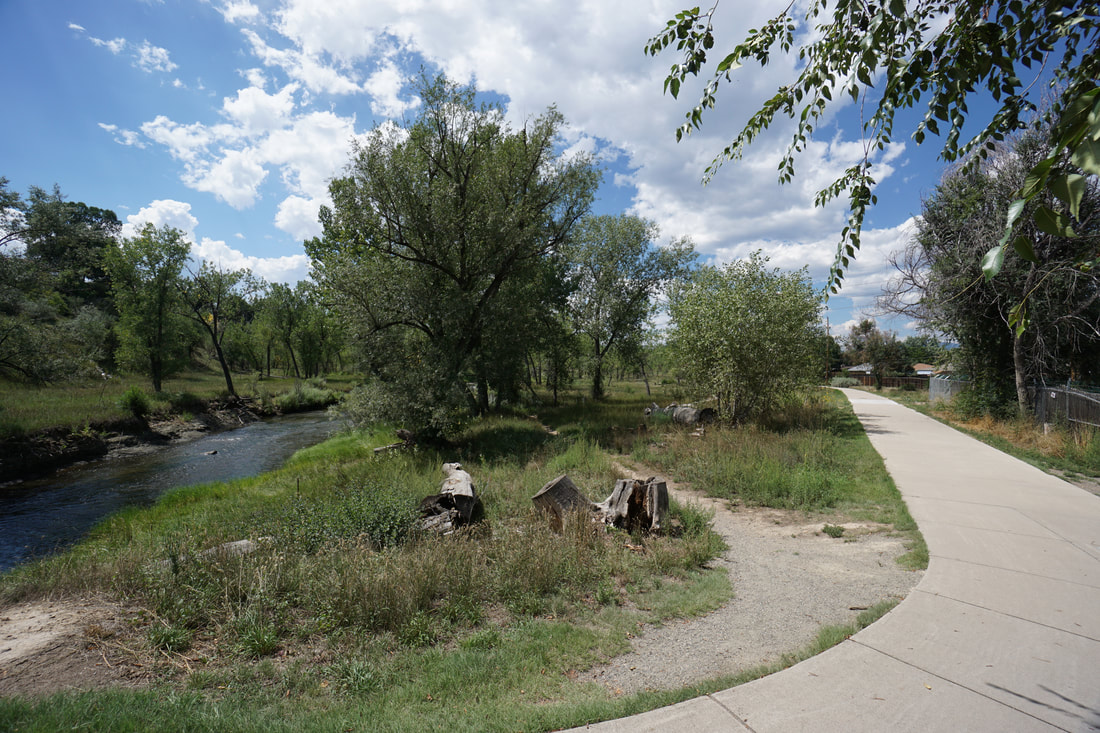
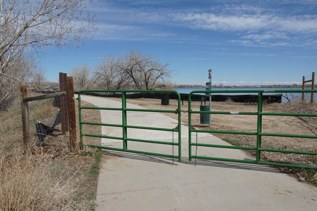
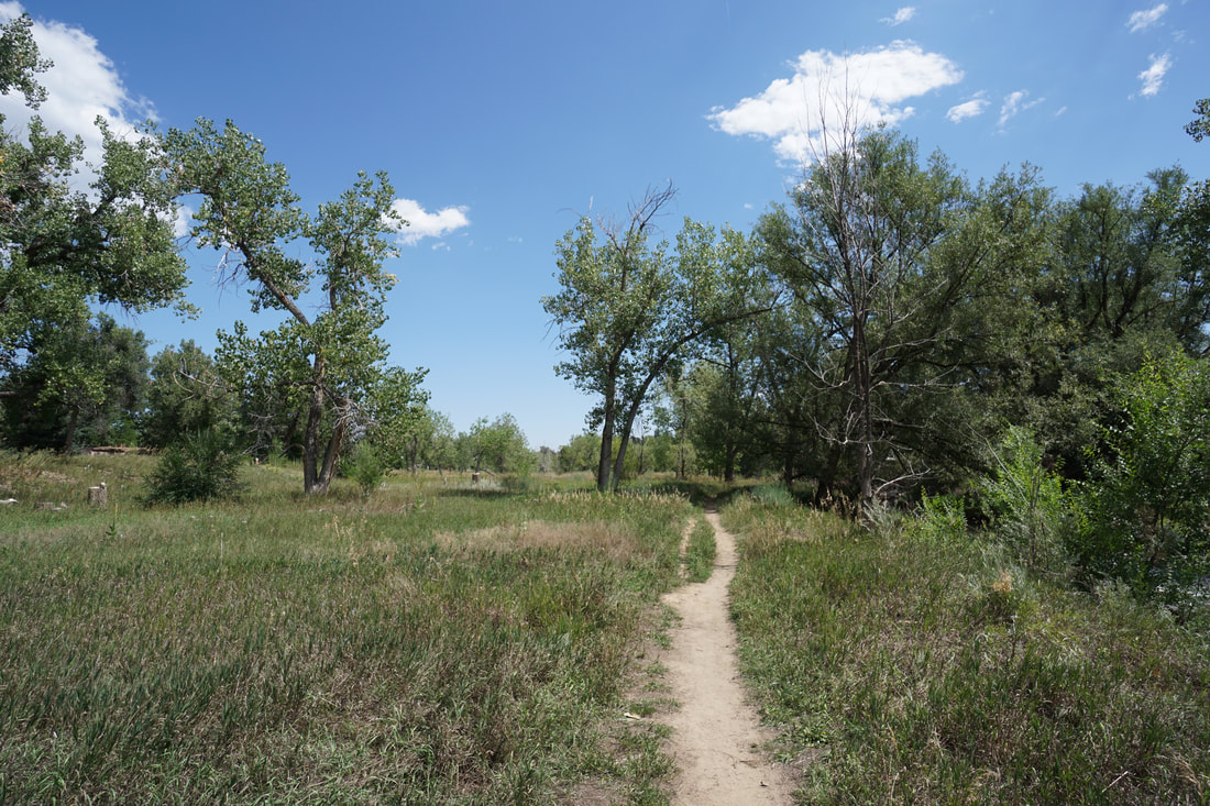
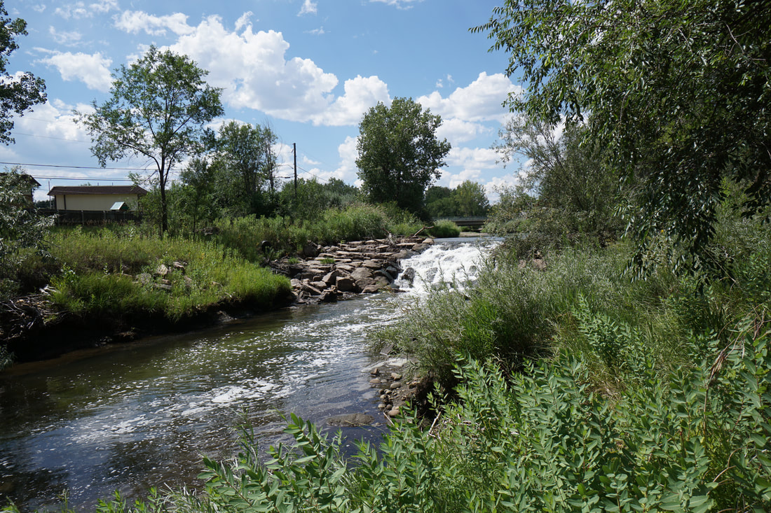
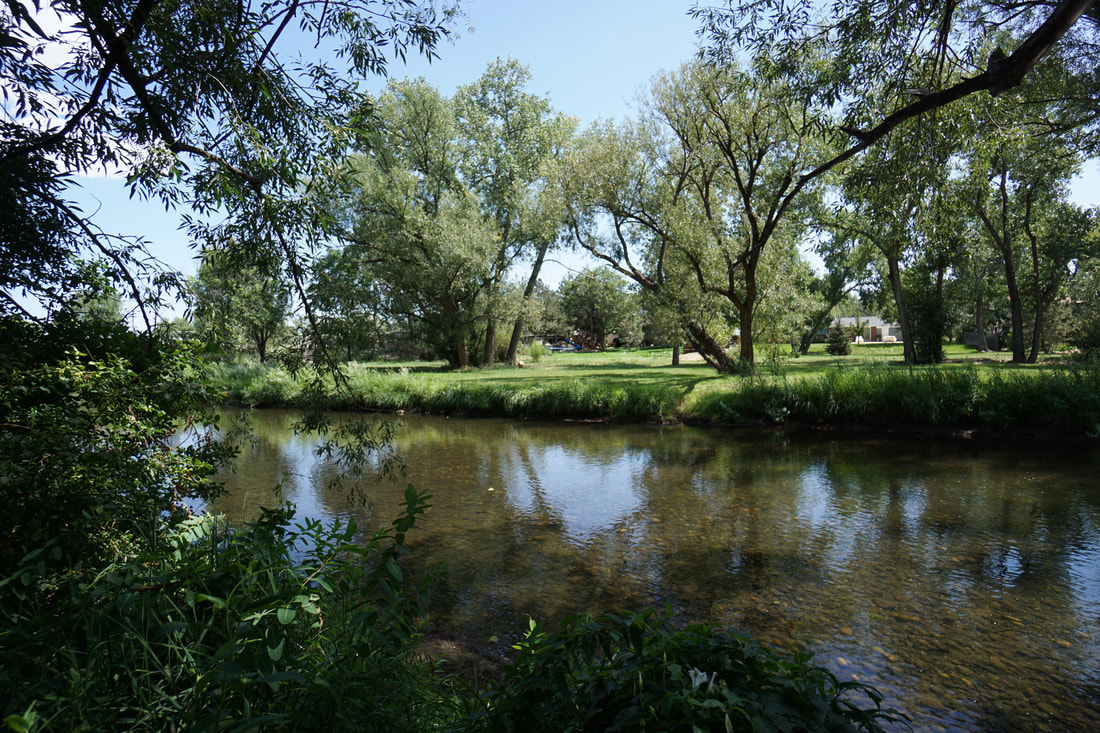
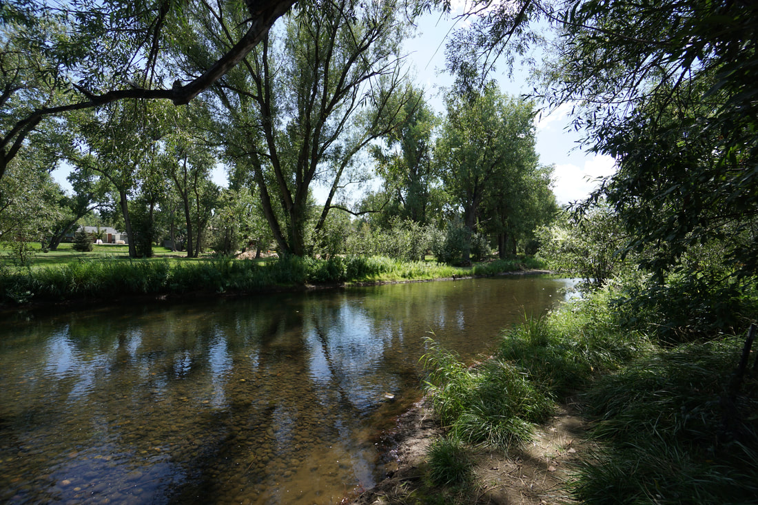
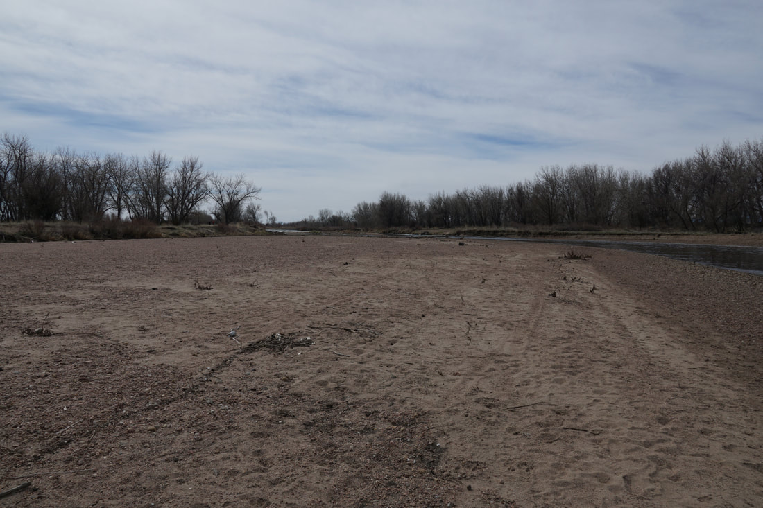
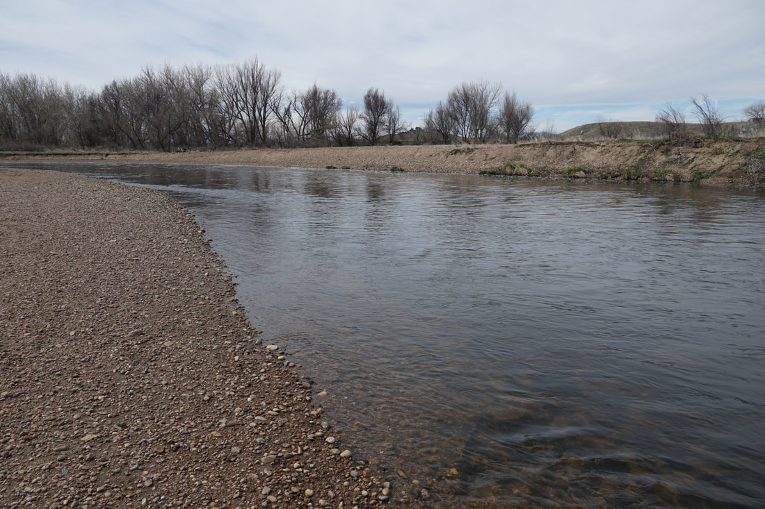
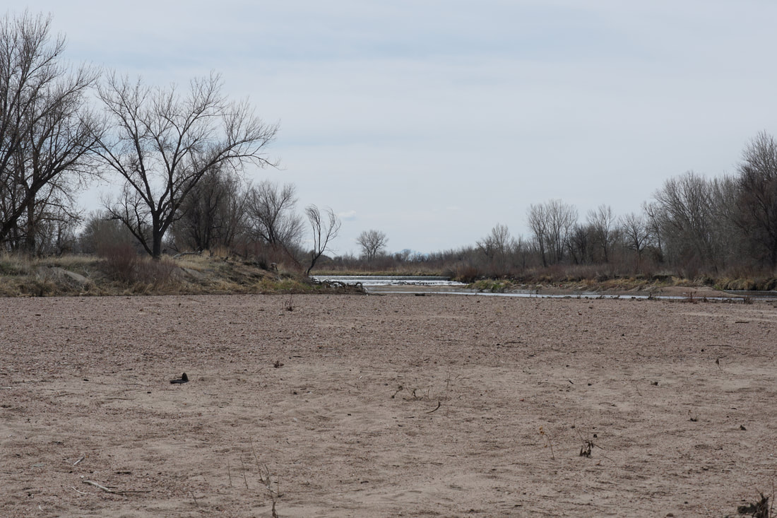
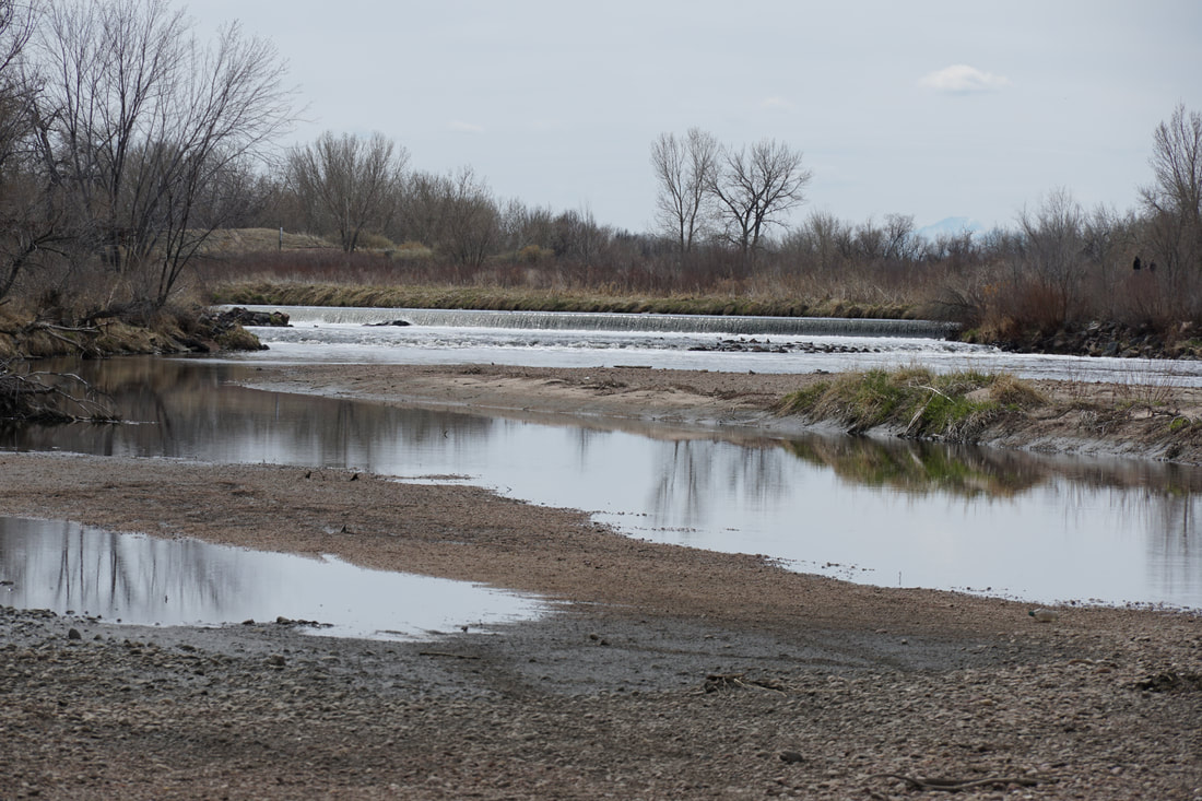
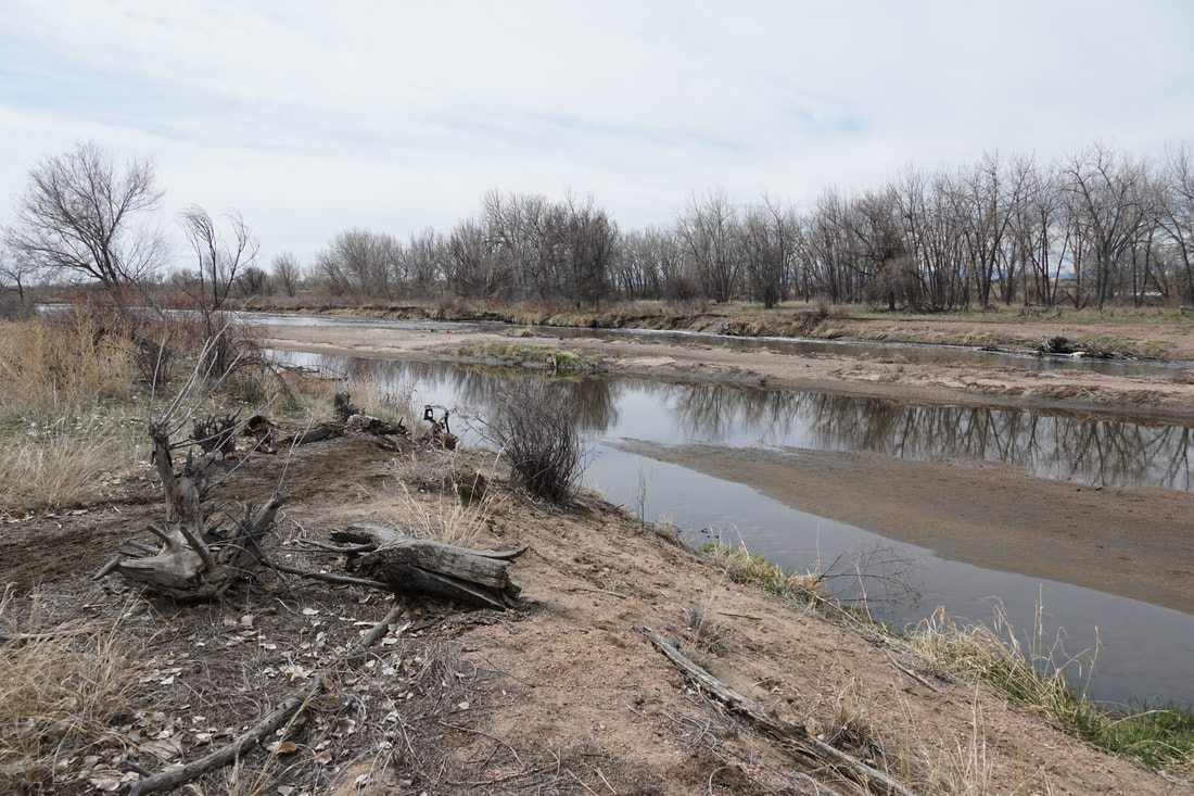
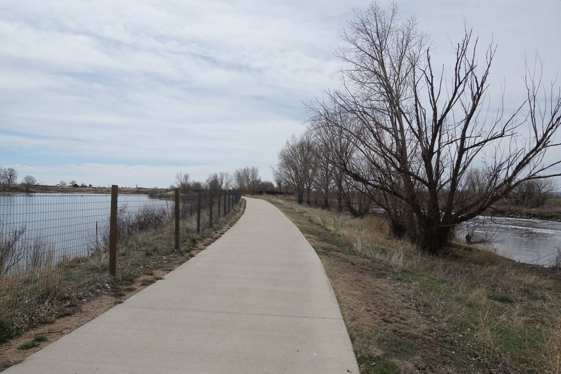
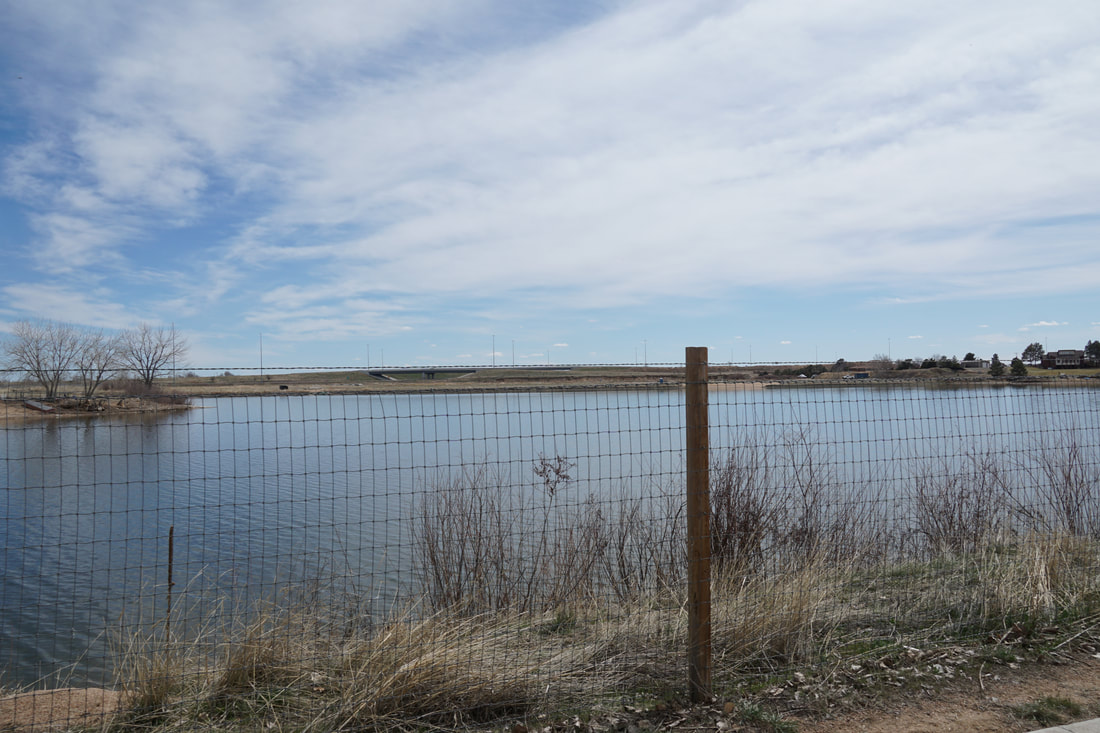
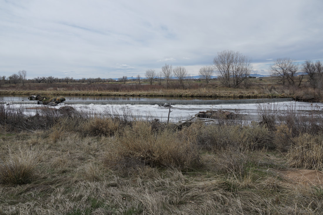
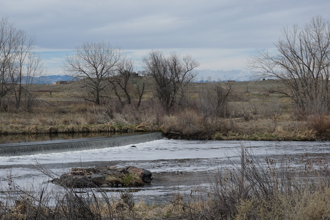
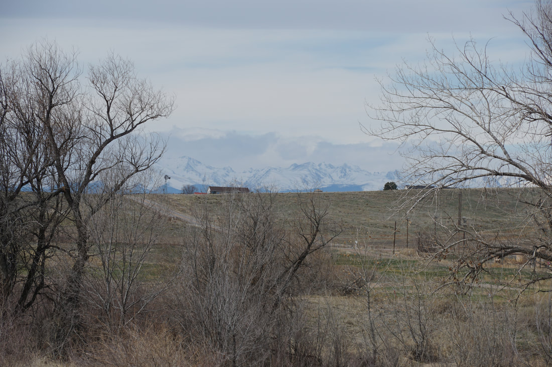
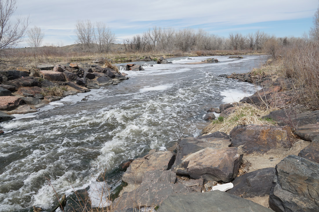
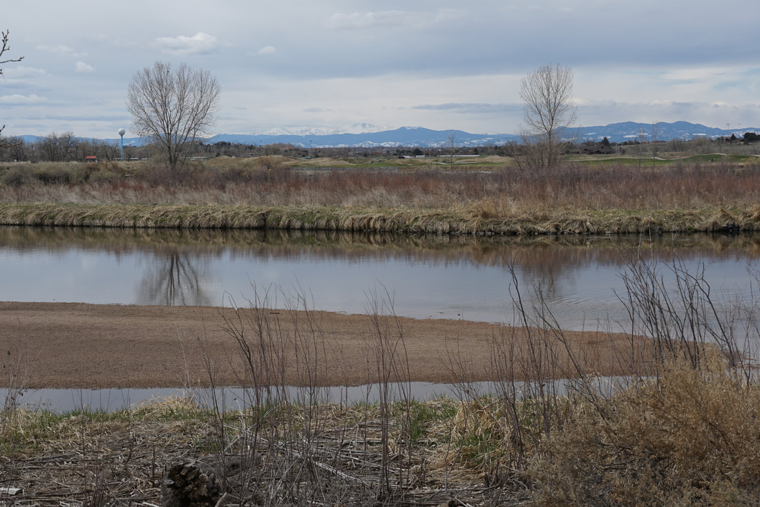
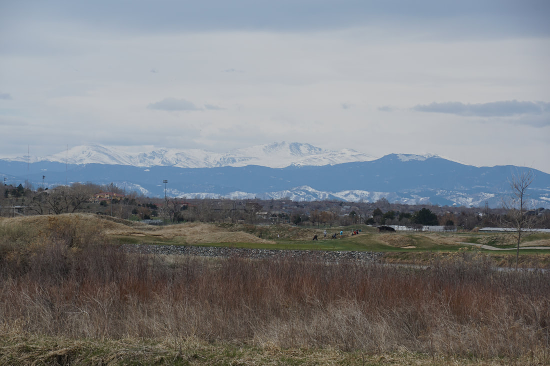
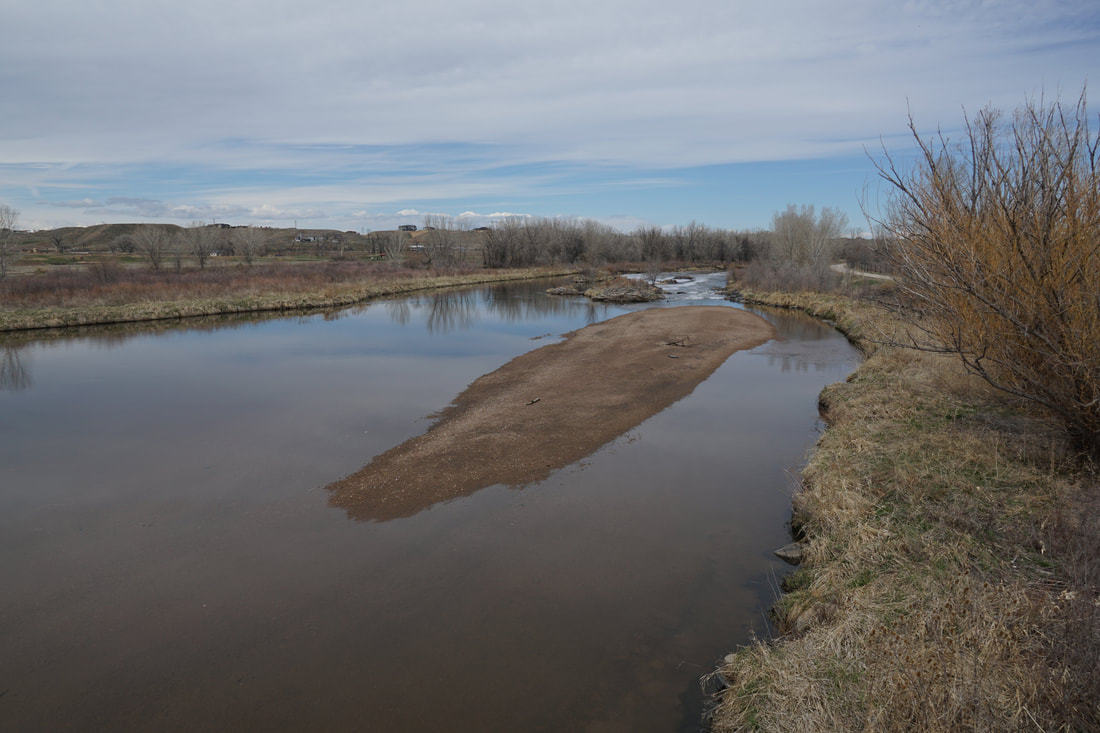
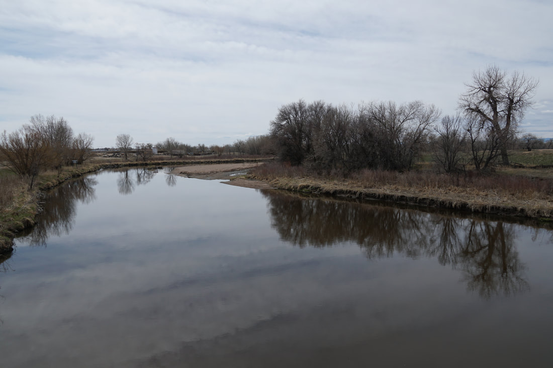
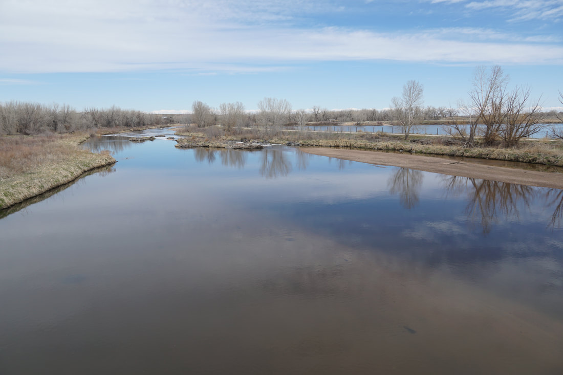
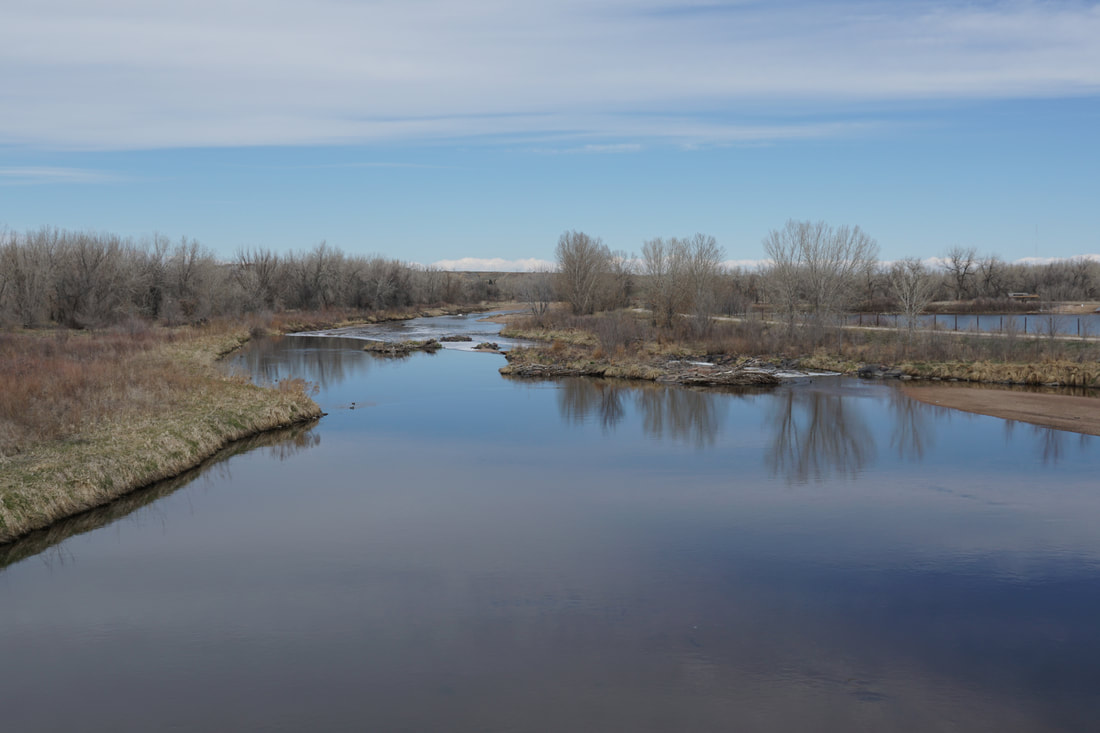
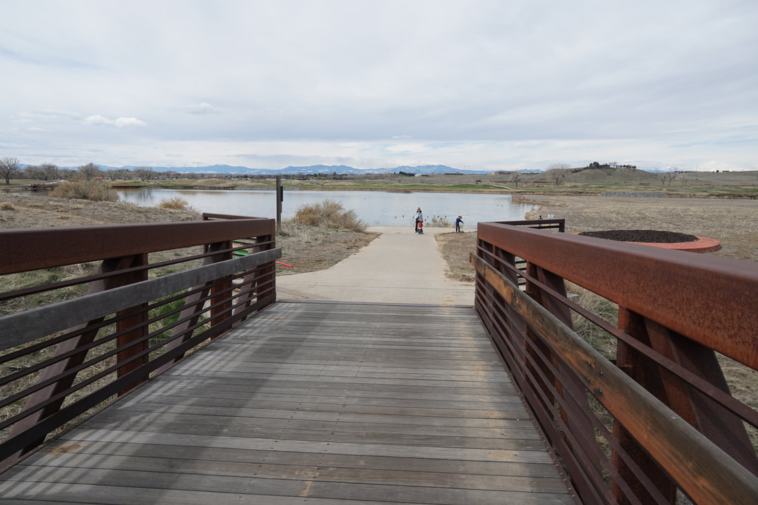
From the trailhead follow the paved trail due west as you parallel C-470 for about 1/2 mile. At the junction (the future north route is gated as it's still under construction) turn right and head under C-470 as the trail passes through a nice wooded area. Keep an eye out for social trails on the right that lead down to the river. The river is very wide (for Colorado standards) at this point and there are various rocky sand bars that you explore. The trail continues south as the corridor narrows and you pass between the river and a private lake on the east. Across the river is the Riverdale Dunes Golf Course which provides a nice, wide-open foreground for the Front Range Mountains in the background. There are some nice views of Mt. Evans, the Indian Peaks, and Longs Peak as you walk this section of the trail. Before long, you'll reach the footbridge crossing the South Platte to a nice lake on the other side, this lake marks the northern reaches of the Riverdale Regional Park, which extends south to 104th Avenue. This is a good spot to turn around for a quick walk, if you want to explore further, the South Platte River Trail extends all the way south to Chatfield State Park from this point...have at it! |
|
- HOME
- ABOUT
-
HIKES BY REGION
-
NATIONAL PARK HIKES
- BENT'S OLD FORT NATIONAL HISTORIC SITE
- BLACK CANYON OF THE GUNNISON NATIONAL PARK
- COLORADO NATIONAL MONUMENT
- CURECANTI NATIONAL RECREATION AREA
- DINOSAUR NATIONAL MONUMENT
- FLORISSANT FOSSIL BEDS NATIONAL MONUMENT
- MESA VERDE NATIONAL PARK
- ROCKY MOUNTAIN NATIONAL PARK
- GREAT SAND DUNES NATIONAL PARK
- HOVENWEEP NATIONAL MONUMENT
- SAND CREEK MASSACRE NATIONAL HISTORIC SITE
- YUCCA HOUSE NATIONAL MONUMENT
- HIKES BY CATEGORY
- NEWS
- WEBCAMS
- $UPPORT GHC
- INTERACTIVE MAP
South Platte River Trail
Northern Terminus - Brighton Road Trailhead to Riverdale Regional Park
Date Hiked: March 29, 2020
Distance: 2.3 mi (RT)
Elevation Gain: Minimal
Elevation: 5,000 ft
Managing Agency: Adams County Parks
Fee: None