|
Directions: From Santa Fe Blvd in Littleton (south of Bowles Ave and North of C-470), turn west onto Brewery Lane. Follow Brewery Lane past the Breckenridge Farm and Brewery to the parking area and the trailhead.
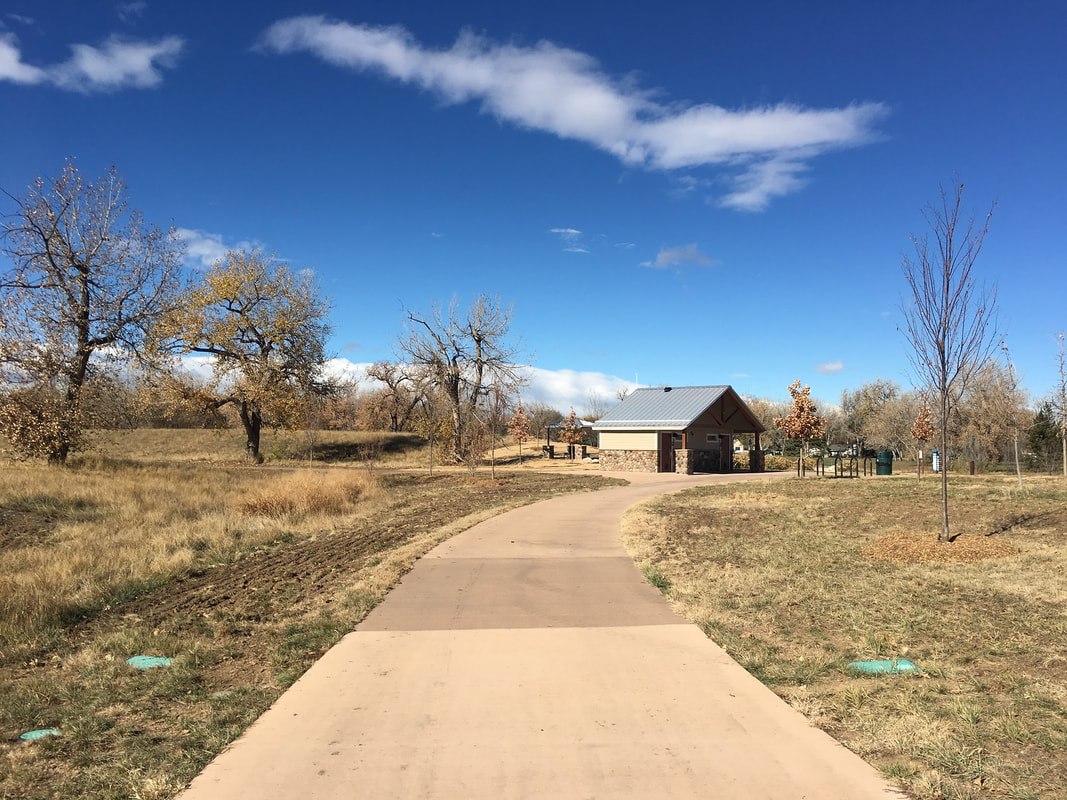
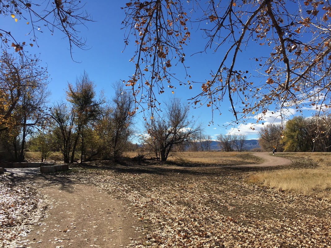
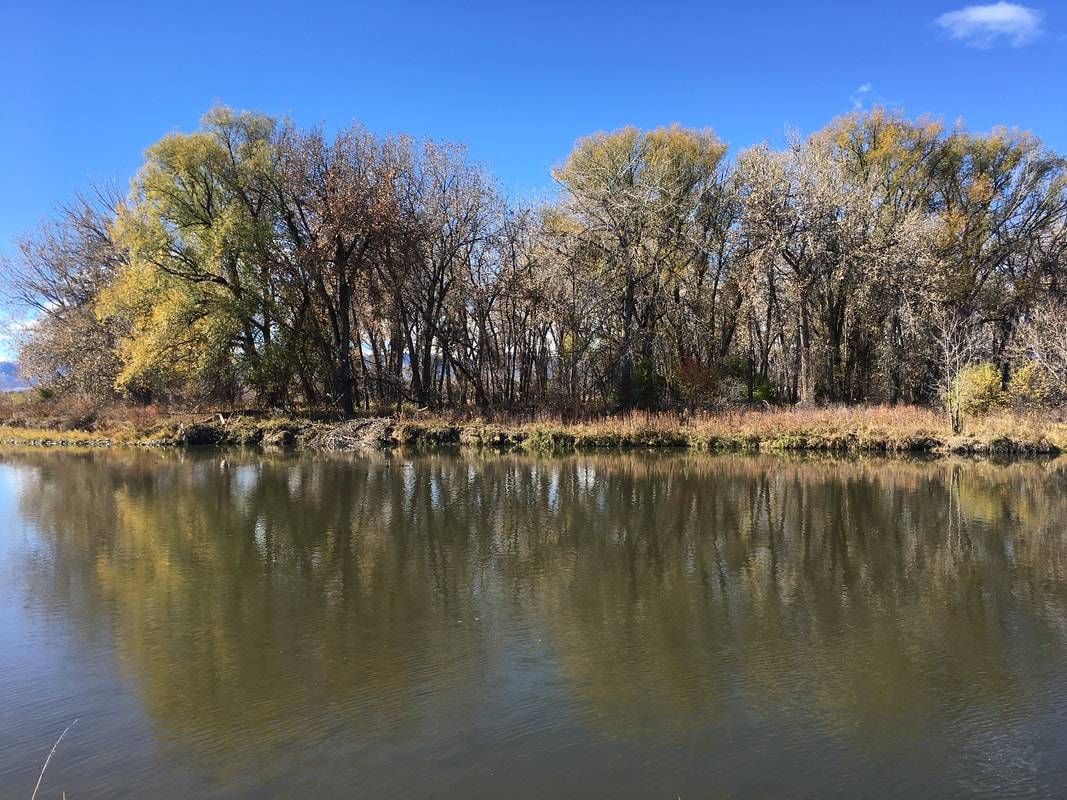
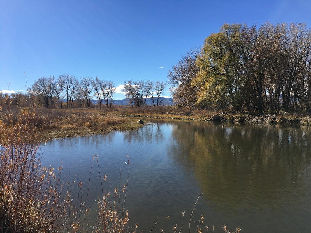
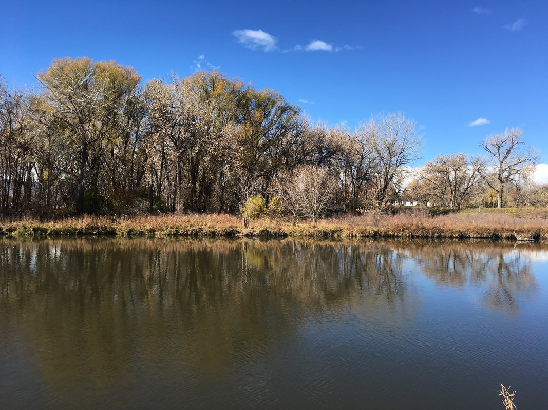
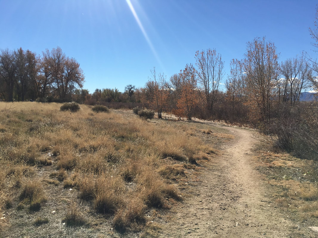
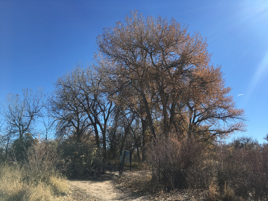
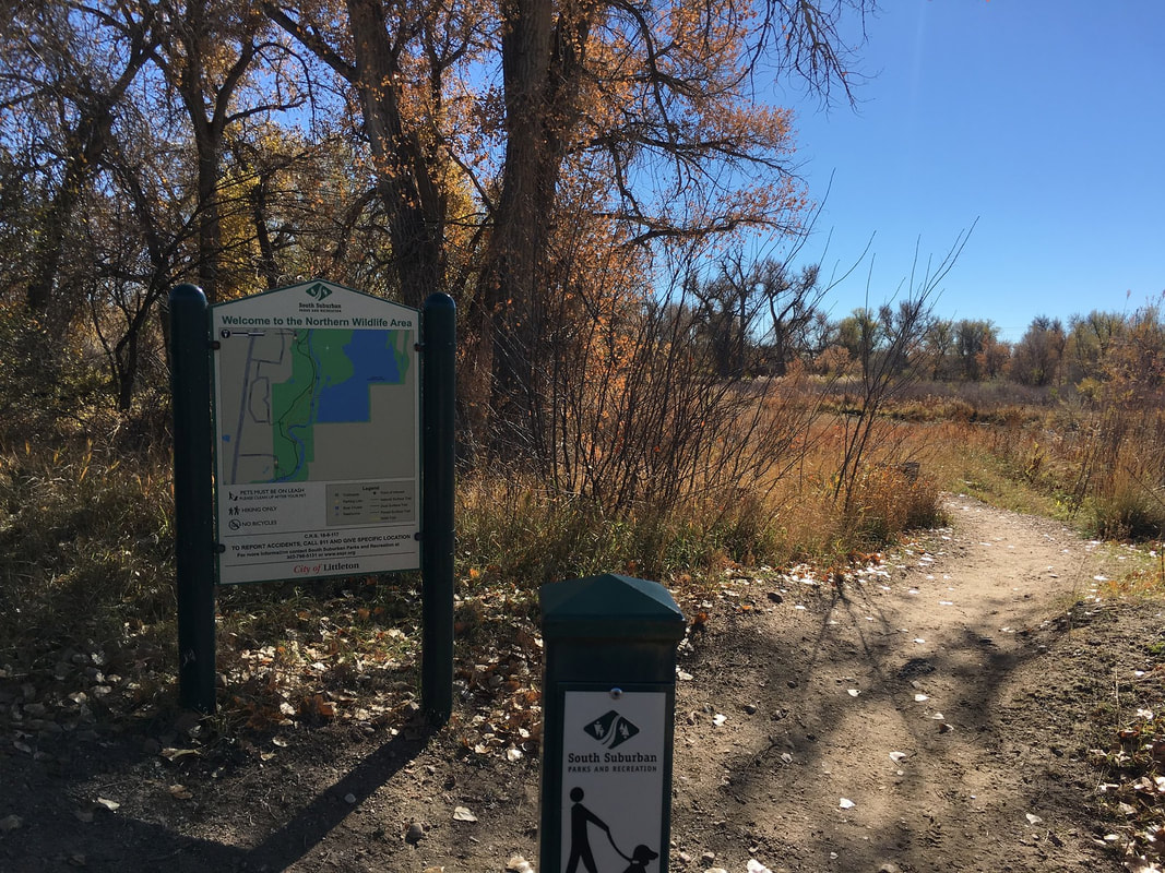
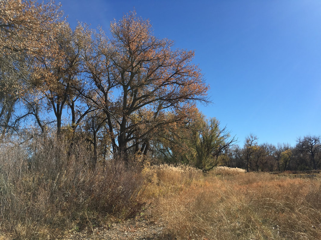
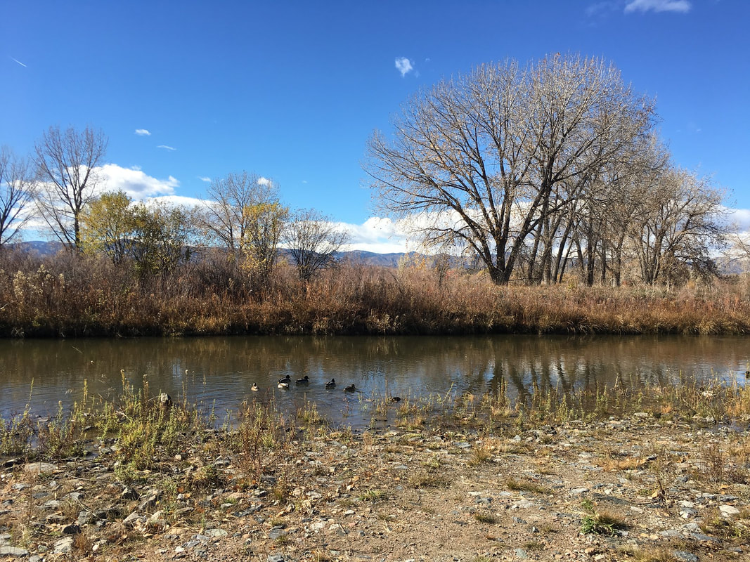
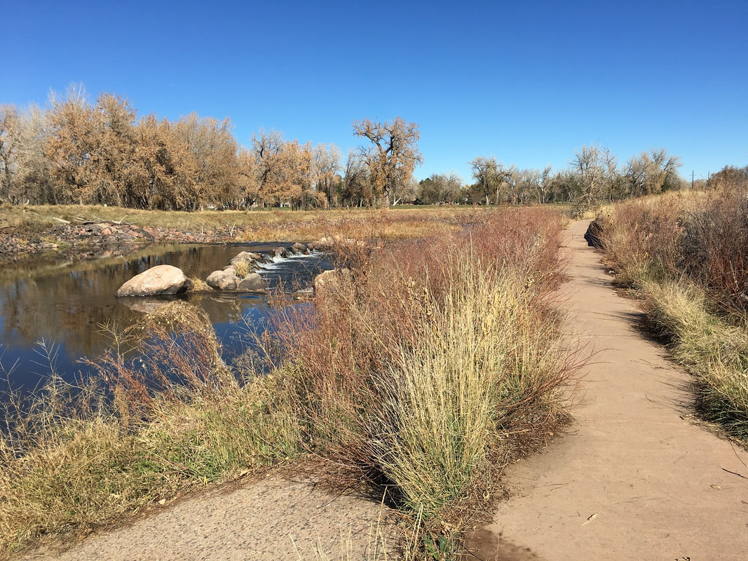
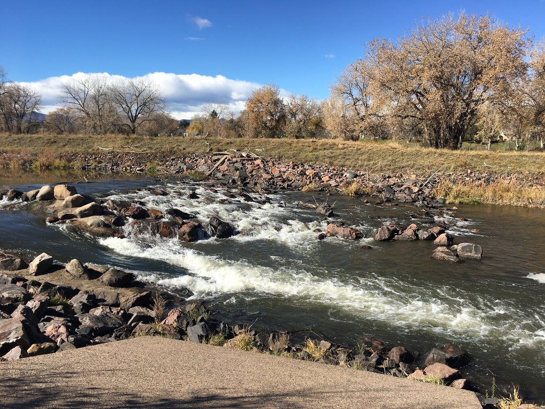
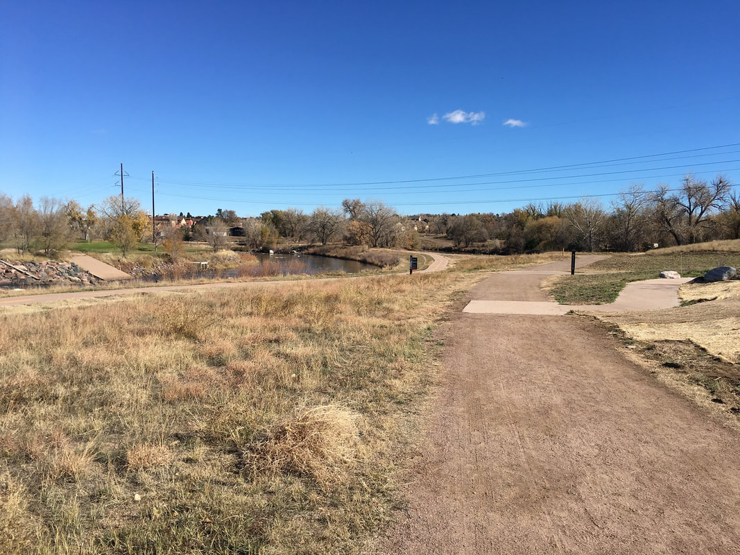
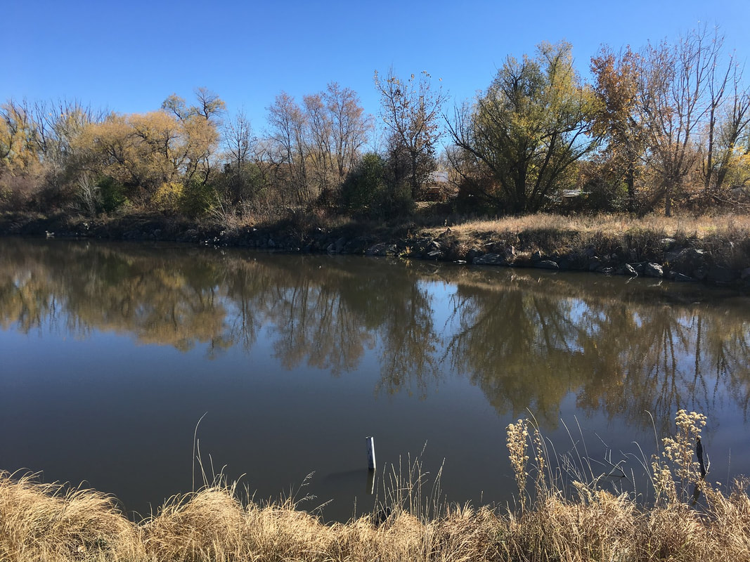
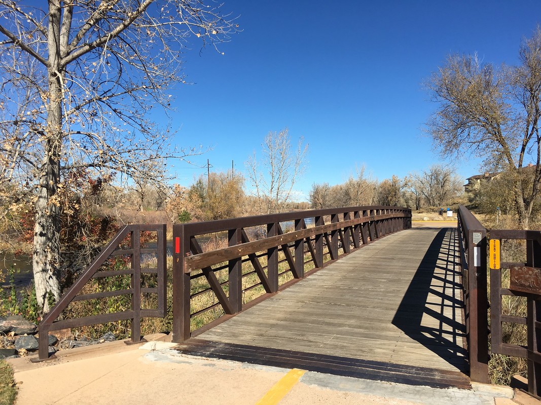
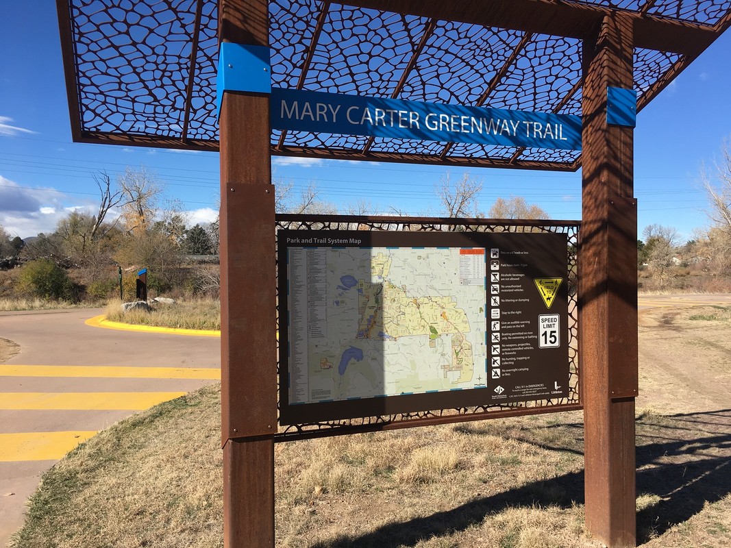
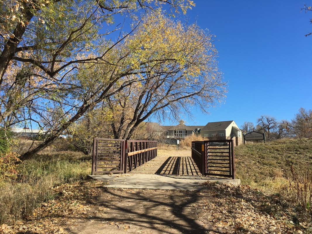
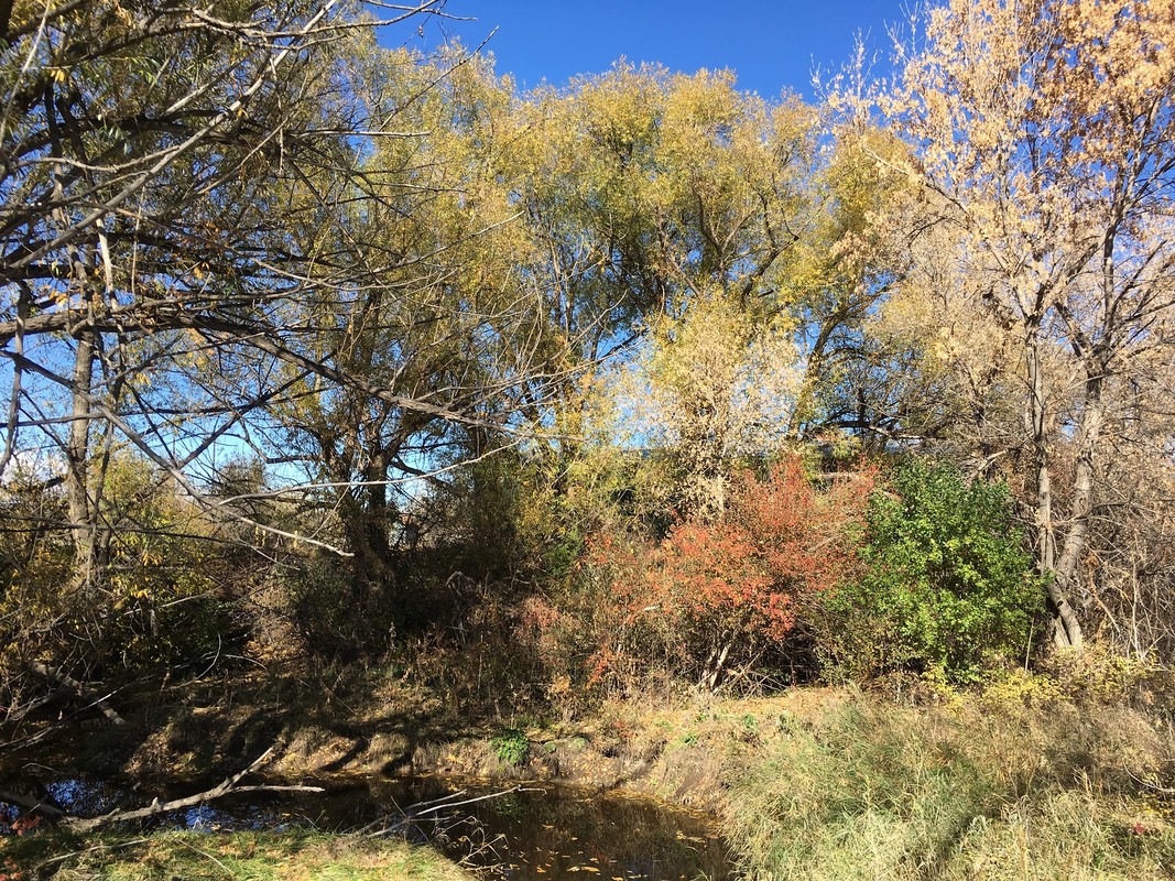
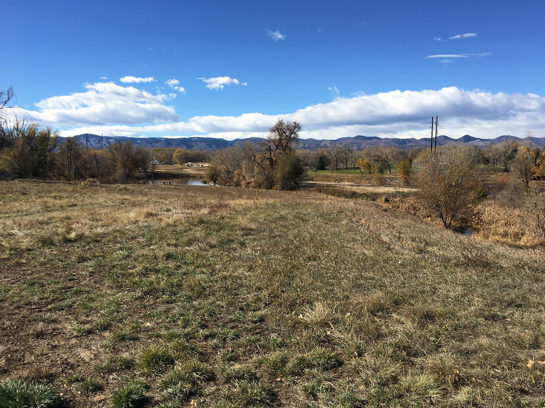
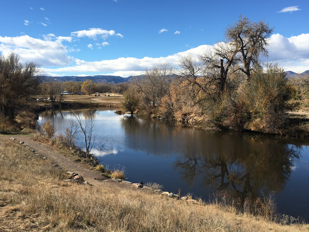
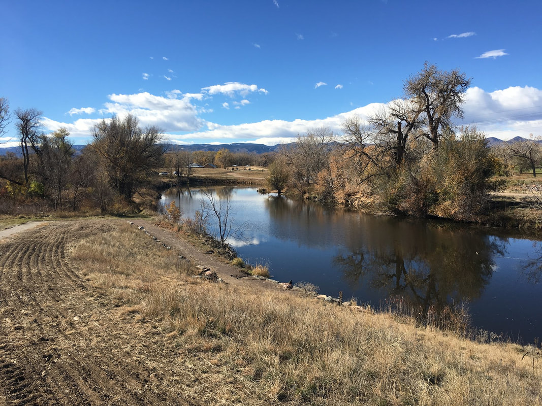
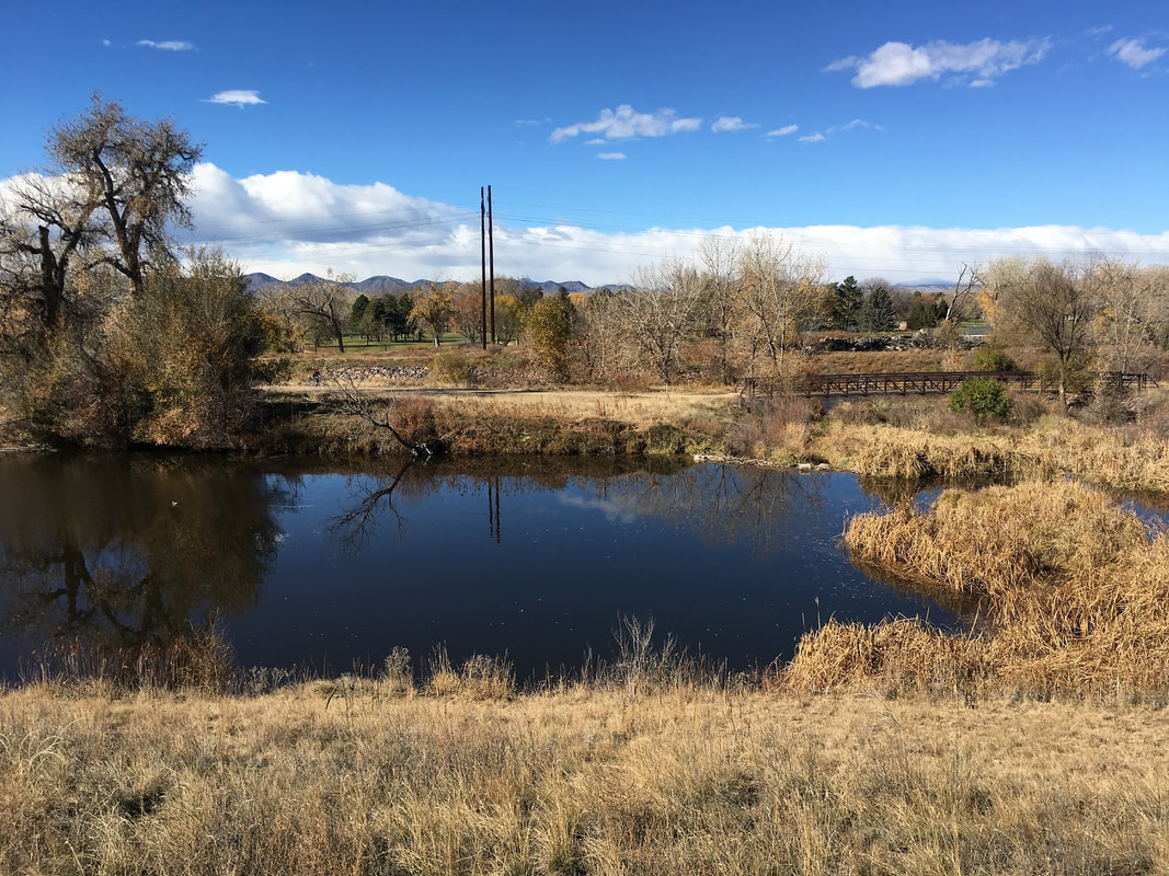
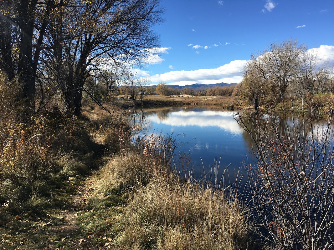
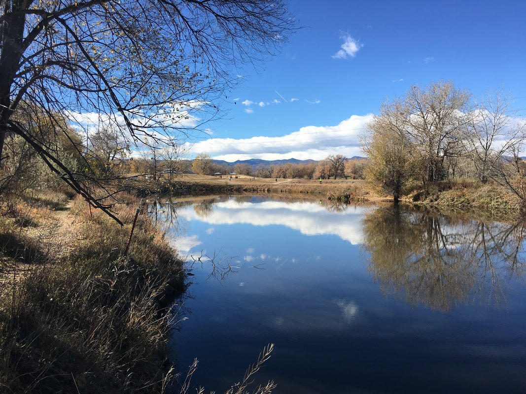
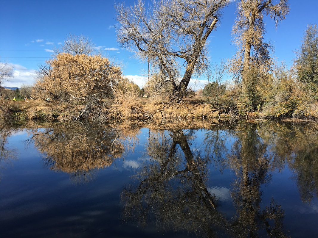
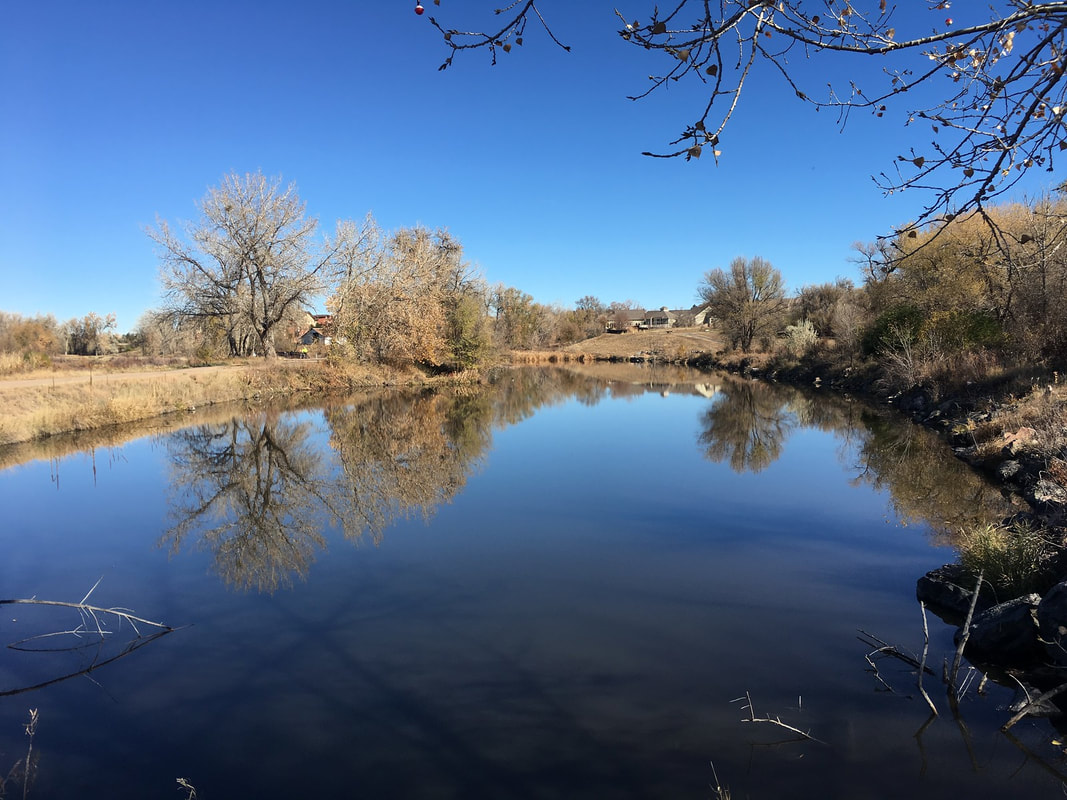
This portion of the Mary Carter Greenway consists of two scenic parks along the South Platte River connected by the Greenway. From Reynolds Landing follow the paved and dirt trails to the MCG and the river. From here, you can turn south and follow a dirt trail that parallels the MCG to South Platte Park's Northern Wildlife Area, or turn north to follow the shores of Reynolds Landing. South Platte Park is beautiful and I highly recommend you explore this area. For this description, do not enter the wildlife area, rather turn around and head north along the river. North of Reynolds Landing, you'll cross a footbridge and turn right (east) onto the Lee Gulch Trail. Follow the trail across another bridge and turn right to access the Lee Gulch Overlook. The Overlook has nice views of the pond and river below and the foothills and Front Range Mountains (when the weather is clear) beyond. From the overlook descend to the pond and follow the trail along the eastern shores of the pond back to the Reynolds Landing parking area. This short 1 mile loop is a pleasant walk along the riparian area and is a nice add-on if you are visiting South Platte Park. |
|
- HOME
- ABOUT
-
HIKES BY REGION
-
NATIONAL PARK HIKES
- BENT'S OLD FORT NATIONAL HISTORIC SITE
- BLACK CANYON OF THE GUNNISON NATIONAL PARK
- COLORADO NATIONAL MONUMENT
- CURECANTI NATIONAL RECREATION AREA
- DINOSAUR NATIONAL MONUMENT
- FLORISSANT FOSSIL BEDS NATIONAL MONUMENT
- MESA VERDE NATIONAL PARK
- ROCKY MOUNTAIN NATIONAL PARK
- GREAT SAND DUNES NATIONAL PARK
- HOVENWEEP NATIONAL MONUMENT
- SAND CREEK MASSACRE NATIONAL HISTORIC SITE
- YUCCA HOUSE NATIONAL MONUMENT
- HIKES BY CATEGORY
- NEWS
- WEBCAMS
- $UPPORT GHC
- INTERACTIVE MAP
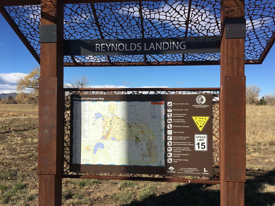
Mary Carter Greenway
Reynolds Landing & Lee Gulch Overlook
Date Hiked: November 2, 2018
Distance: 1.1 mi (RT)
Elevation Gain: Minimal
Elevation: 5,350 ft
Managing Agency: S. Suburban Parks & Rec. District &
City of Littleton
Fee: None