|
DIRECTIONS: From Denver take I-25 north to I-76 east. Exit onto Hwy 85 heading north. Turn left onto 104th Ave and the park is on the right.
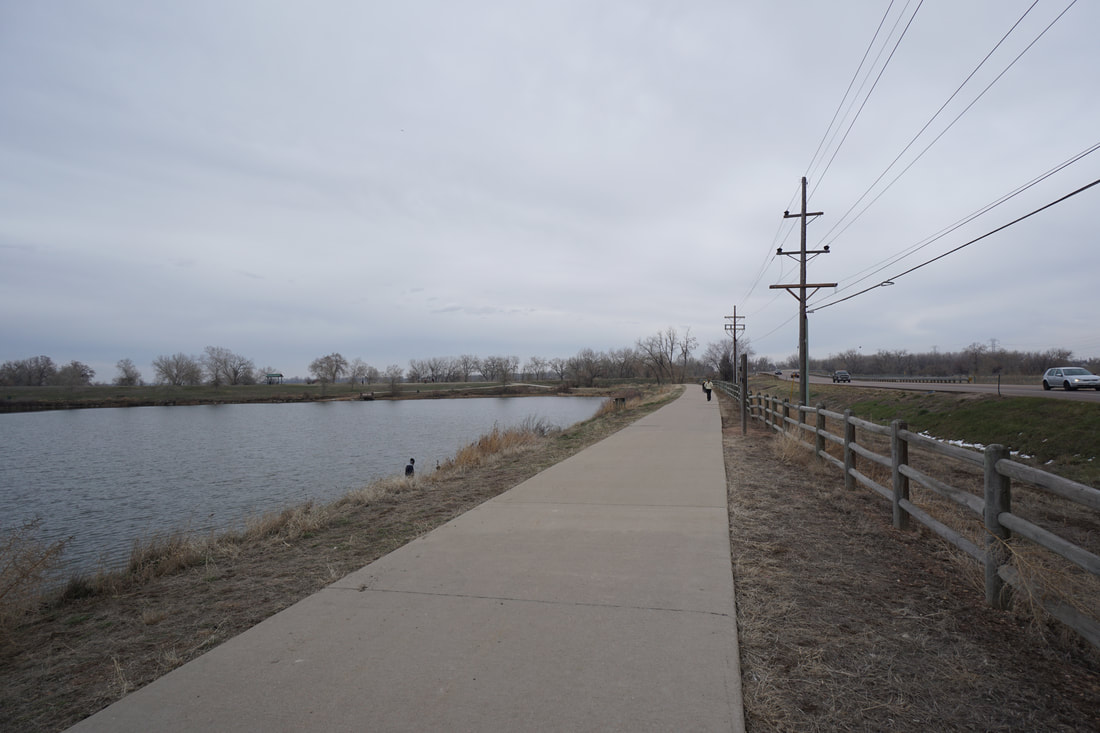
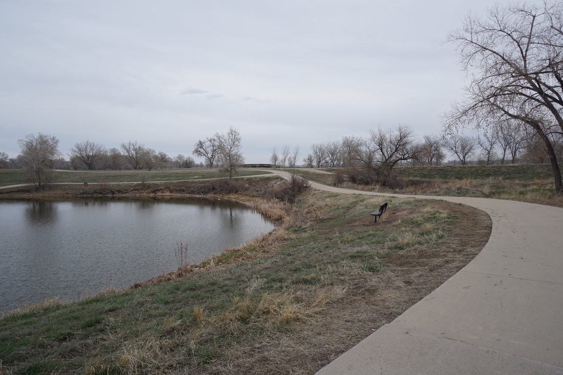
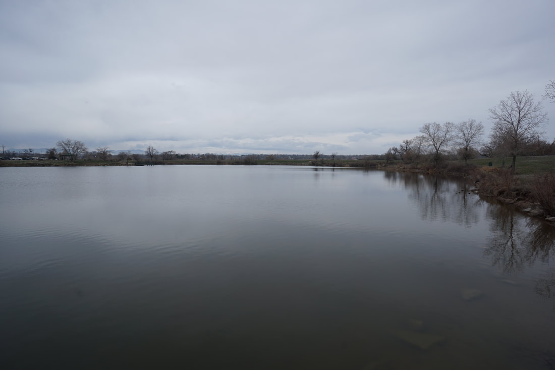
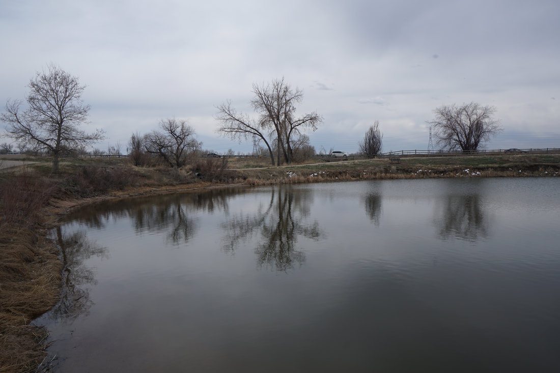
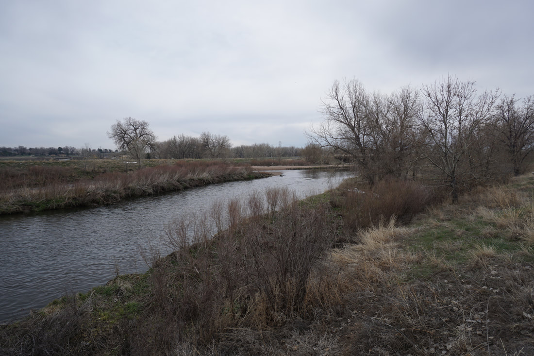
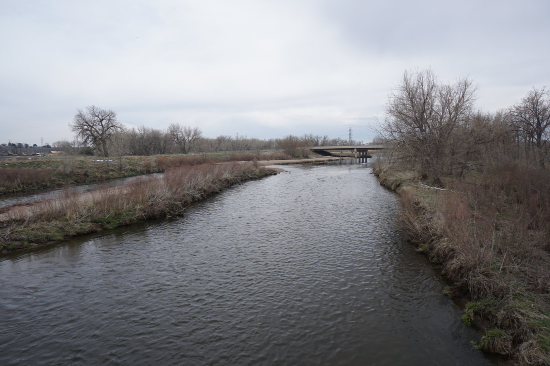
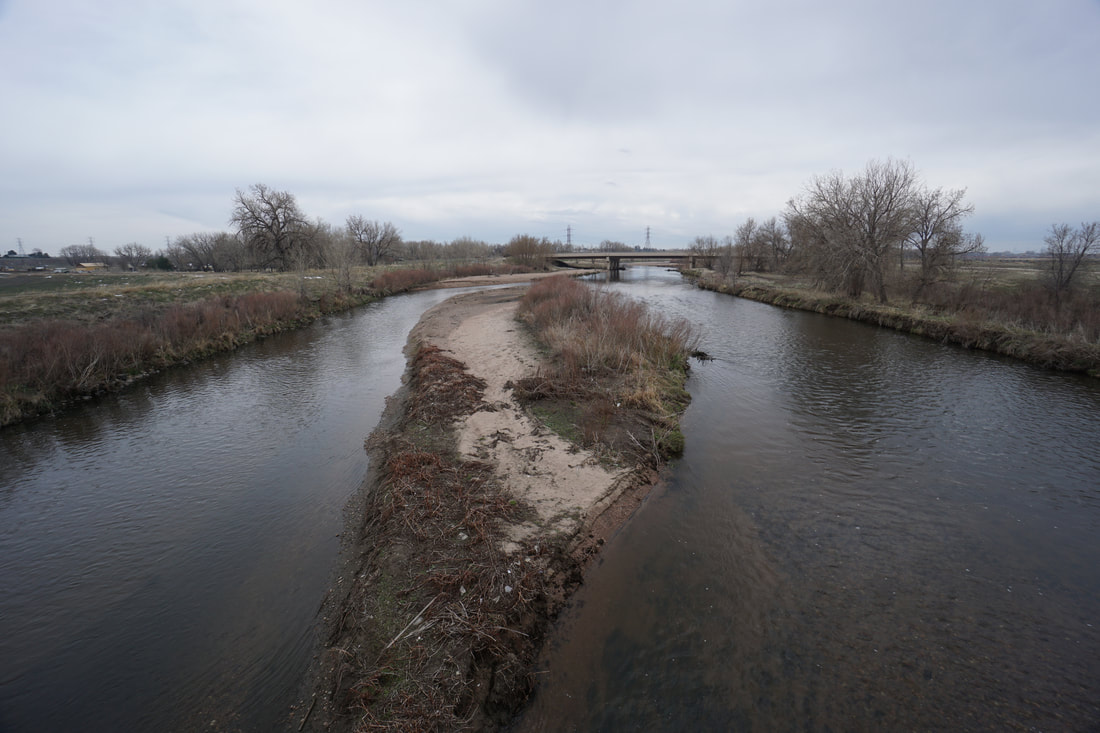
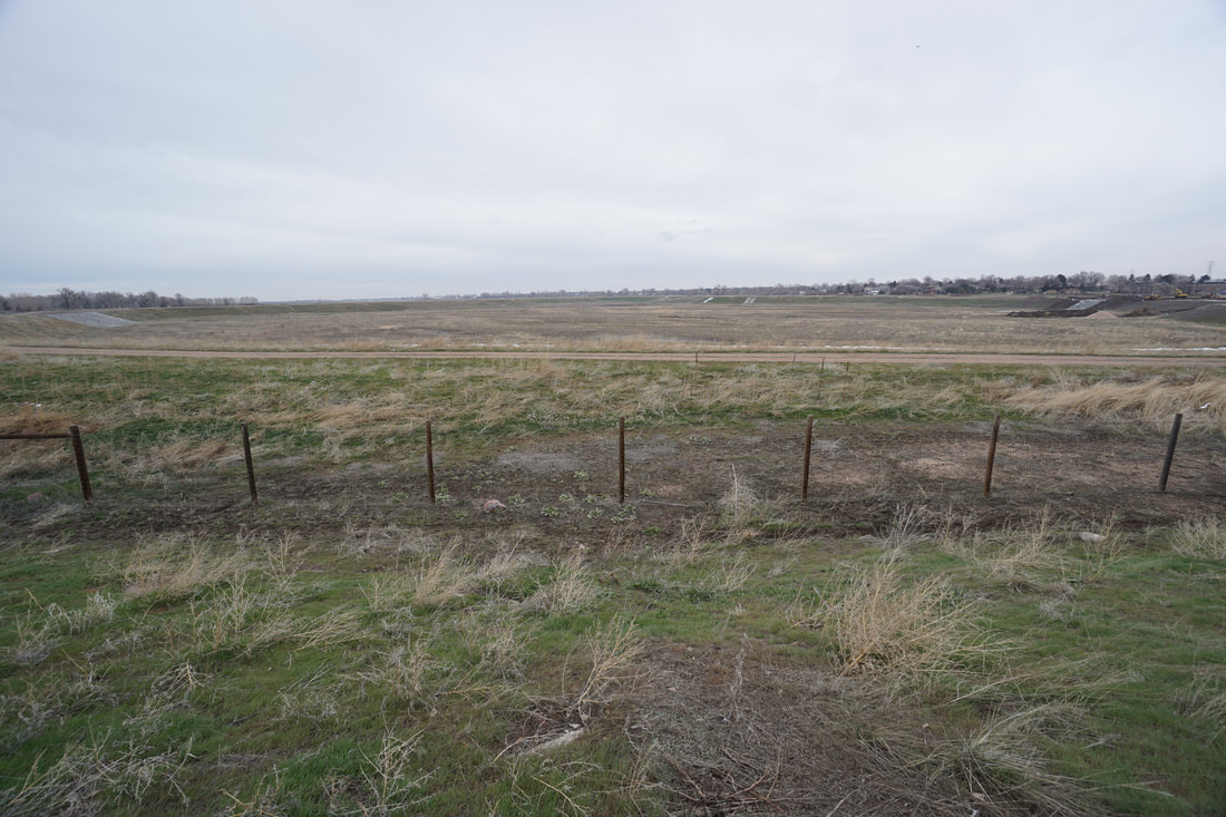
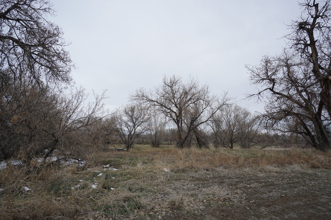
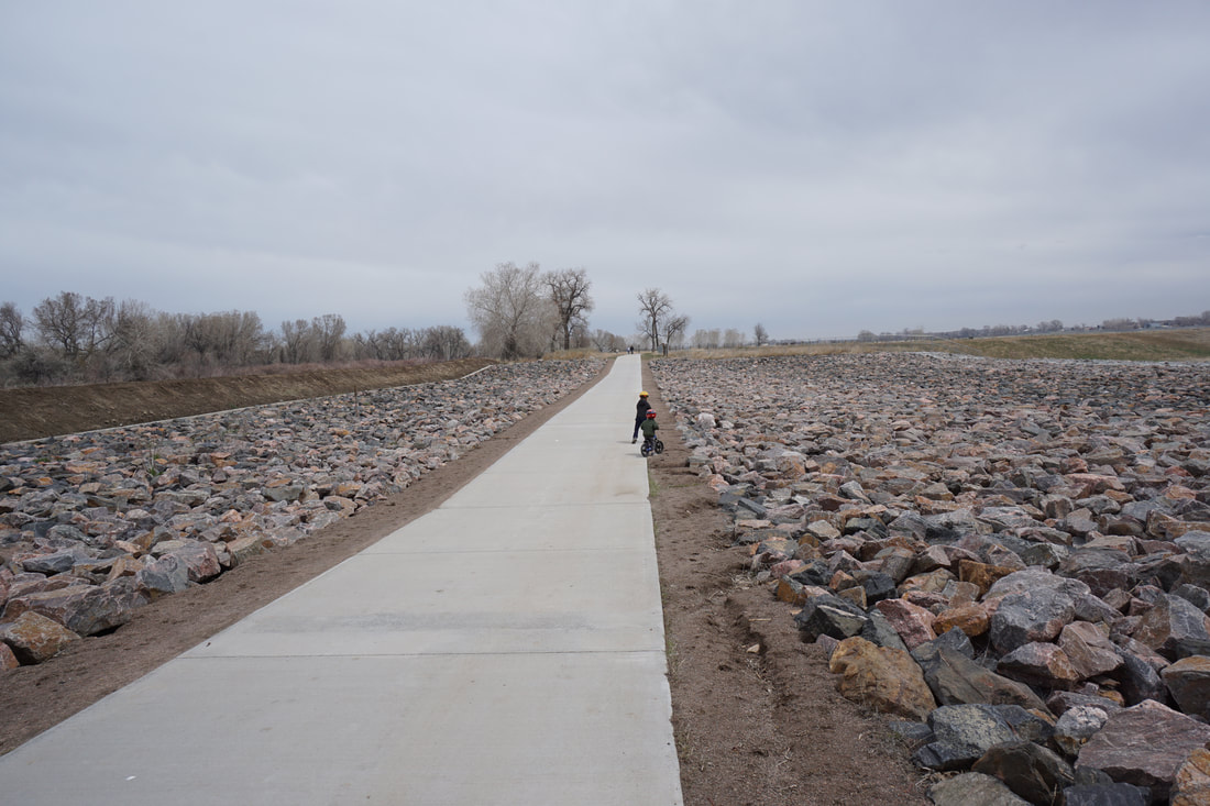
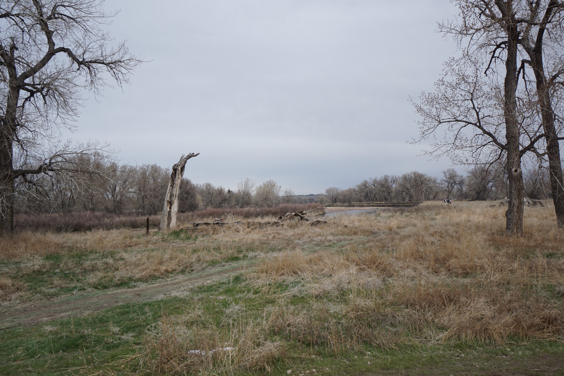
The Elaine T. Valente Open Space is a nice local park to visit with recreational lakes and a trail system made of of both paved and natural surface trails. Additionally, the park connects to the South Platte Trail which runs to the east of the park. A walk or ride along this section of the S. Platte Trail is a nice, scenic, natural experience.
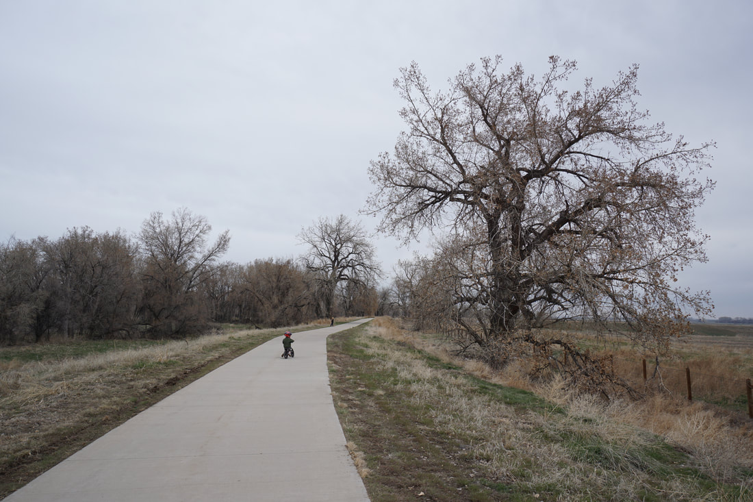
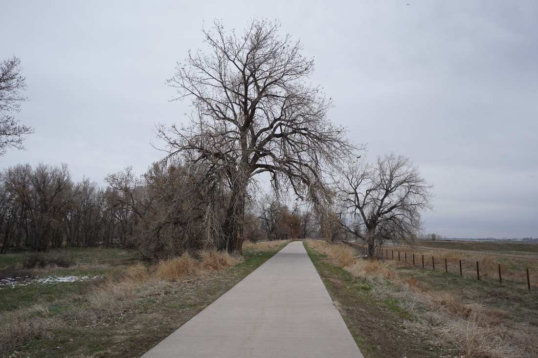
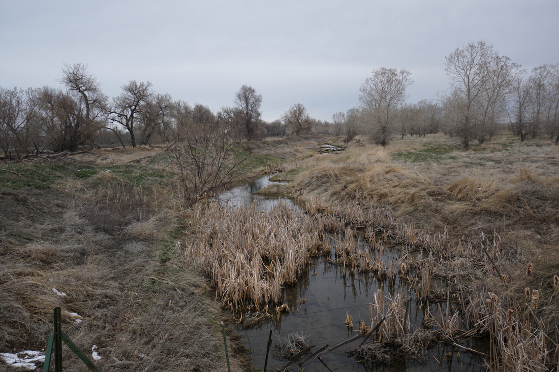
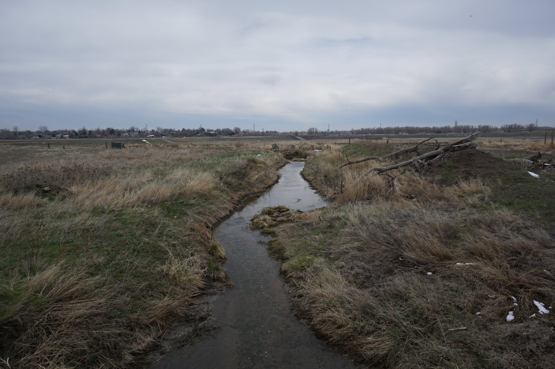
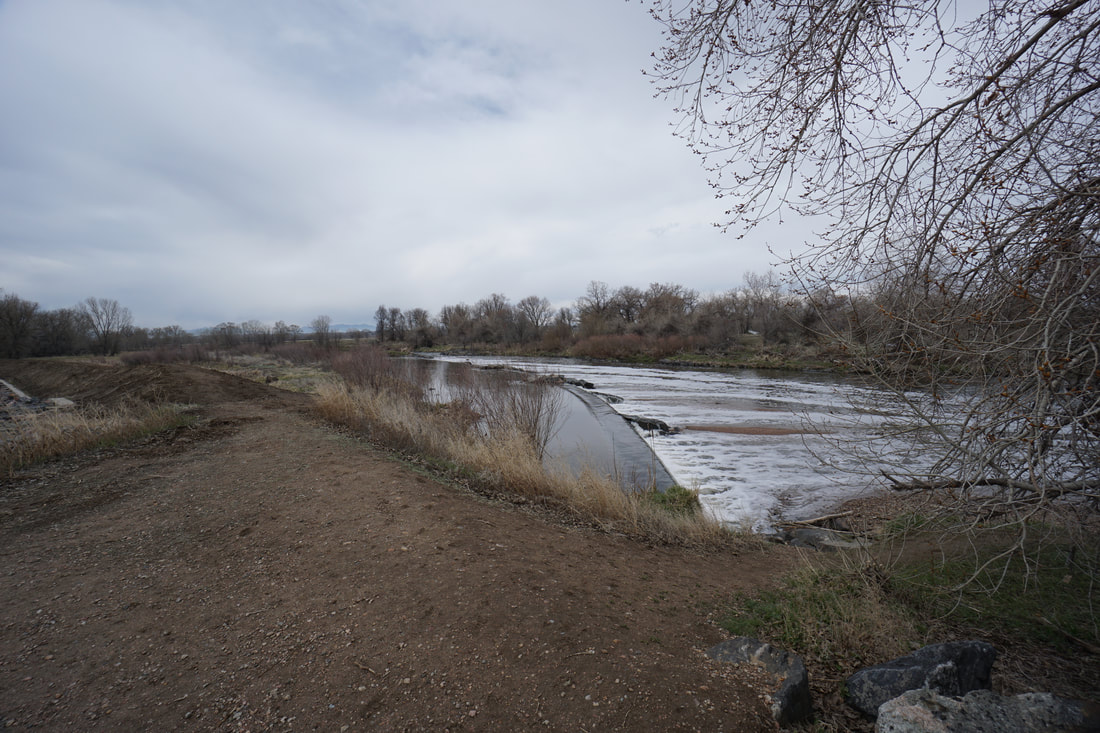
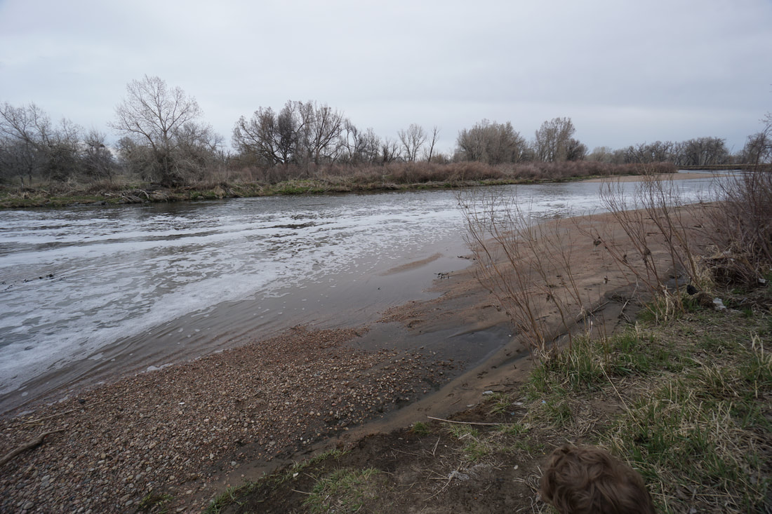
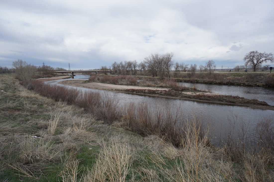
From the parking area, follow the paved trail that runs along the southern shore of the large lake, great for fishing. This trail leads to a bridge across the South Platte River where the trail runs north. The trail follows the river and provides views across the open areas to the east. Before long the trail dips down through and interesting spillway and then leads to another footbridge. This footbridges marks the northern boundary of the Elaine T. Valente Open Space. The second bridge is good place to turn around. You can follow the same route back and explore more of the open space, or head back to the trailhead for a, roughly, 2 mile walk. |
|
- HOME
- ABOUT
-
HIKES BY REGION
-
NATIONAL PARK HIKES
- BENT'S OLD FORT NATIONAL HISTORIC SITE
- BLACK CANYON OF THE GUNNISON NATIONAL PARK
- COLORADO NATIONAL MONUMENT
- CURECANTI NATIONAL RECREATION AREA
- DINOSAUR NATIONAL MONUMENT
- FLORISSANT FOSSIL BEDS NATIONAL MONUMENT
- MESA VERDE NATIONAL PARK
- ROCKY MOUNTAIN NATIONAL PARK
- GREAT SAND DUNES NATIONAL PARK
- HOVENWEEP NATIONAL MONUMENT
- SAND CREEK MASSACRE NATIONAL HISTORIC SITE
- YUCCA HOUSE NATIONAL MONUMENT
- HIKES BY CATEGORY
- NEWS
- WEBCAMS
- $UPPORT GHC
- INTERACTIVE MAP
South Platte River Trail
Elaine T. Valente Open Space
Date Hiked: April 18, 2020
Distance: 1.8 mi (RT)
Elevation Gain: Minimal
Elevation: 5,035 ft
Managing Agency: Adams County Parks
Fee: None