GO HIKE COLORADO
Get in Touch:
  • HOME
  • ABOUT
  • HIKES BY REGION
    • DENVER AREA >
      • Denver Mountain Parks
      • Jefferson County Open Space
      • Lakewood Parks
      • Denver Area Greenways
    • BOULDER AREA
    • DOUGLAS COUNTY
    • FORT COLLINS AREA
    • COLORADO SPRINGS AREA
    • FRONT RANGE
    • TENMILE & MOSQUITO RANGES
    • GORE RANGE
    • SANGRE DE CRISTO MOUNTAINS
    • PARK RANGE
    • SAWATCH RANGE
    • ELK MOUNTAINS
    • SAN JUAN MOUNTAINS
    • THE FLAT TOPS
    • GRAND MESA
    • COLORADO PLATEAU
    • EASTERN PLAINS
  • NATIONAL PARK HIKES
    • BENT'S OLD FORT NATIONAL HISTORIC SITE
    • BLACK CANYON OF THE GUNNISON NATIONAL PARK
    • COLORADO NATIONAL MONUMENT
    • CURECANTI NATIONAL RECREATION AREA
    • DINOSAUR NATIONAL MONUMENT
    • FLORISSANT FOSSIL BEDS NATIONAL MONUMENT
    • MESA VERDE NATIONAL PARK
    • ROCKY MOUNTAIN NATIONAL PARK
    • GREAT SAND DUNES NATIONAL PARK
    • HOVENWEEP NATIONAL MONUMENT
    • SAND CREEK MASSACRE NATIONAL HISTORIC SITE
    • YUCCA HOUSE NATIONAL MONUMENT
  • HIKES BY CATEGORY
    • HIKES TO ALPINE LAKES
    • HIKES TO PEAKS & PASSES
    • HIKES THROUGH CANYONS
    • HIKES WITH FALL COLORS
    • HIKES ALONG THE I-70 CORRIDOR
    • HIKES ON PAVED TRAILS
    • HIKES FOR KIDS
    • HIKES TO WATERFALLS
    • HIKES ALONG RIVERS
    • HIKES WITH ROCK FORMATIONS
    • HIKES WITH WILDFLOWERS
    • WINTER HIKES
  • NEWS
  • WEBCAMS
  • $UPPORT GHC
  • INTERACTIVE MAP

Mary Carter Greenway
River Point to Centennial Park

Distance: 4.2 mi (RT)
Elevation Gain: 33ft
Elevation: 5,260ft
Trailhead Lat/Long:  39.651448, -105.007959 
Managing Agency: S. Suburban Parks & Recreation District
Fee: None

Mary Carter Greenway Website
Picture

Directions:  This hike starts at the bridge over the S. Platte River next to the Regal Cinemas in the River Pointe Shopping Center.  From Denver, take I25 S to Santa Fe Drive (85) south.  Turn west onto Hampden Ave (285) and left (south) into the River Pointe Shopping Center.

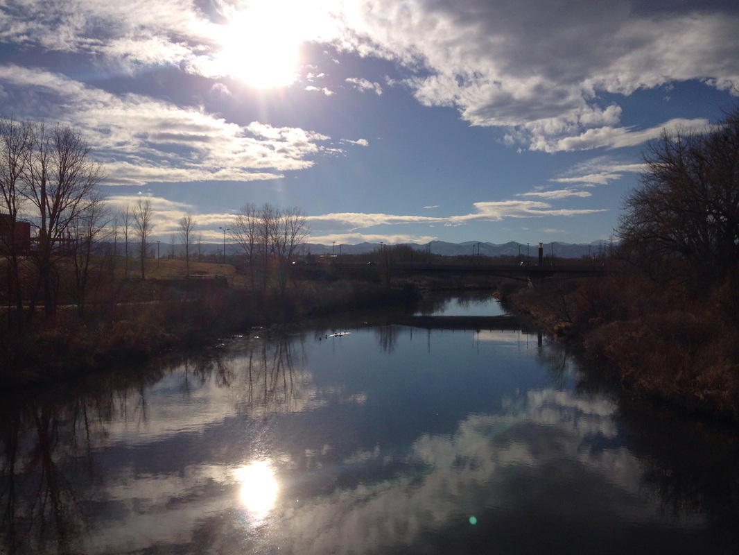
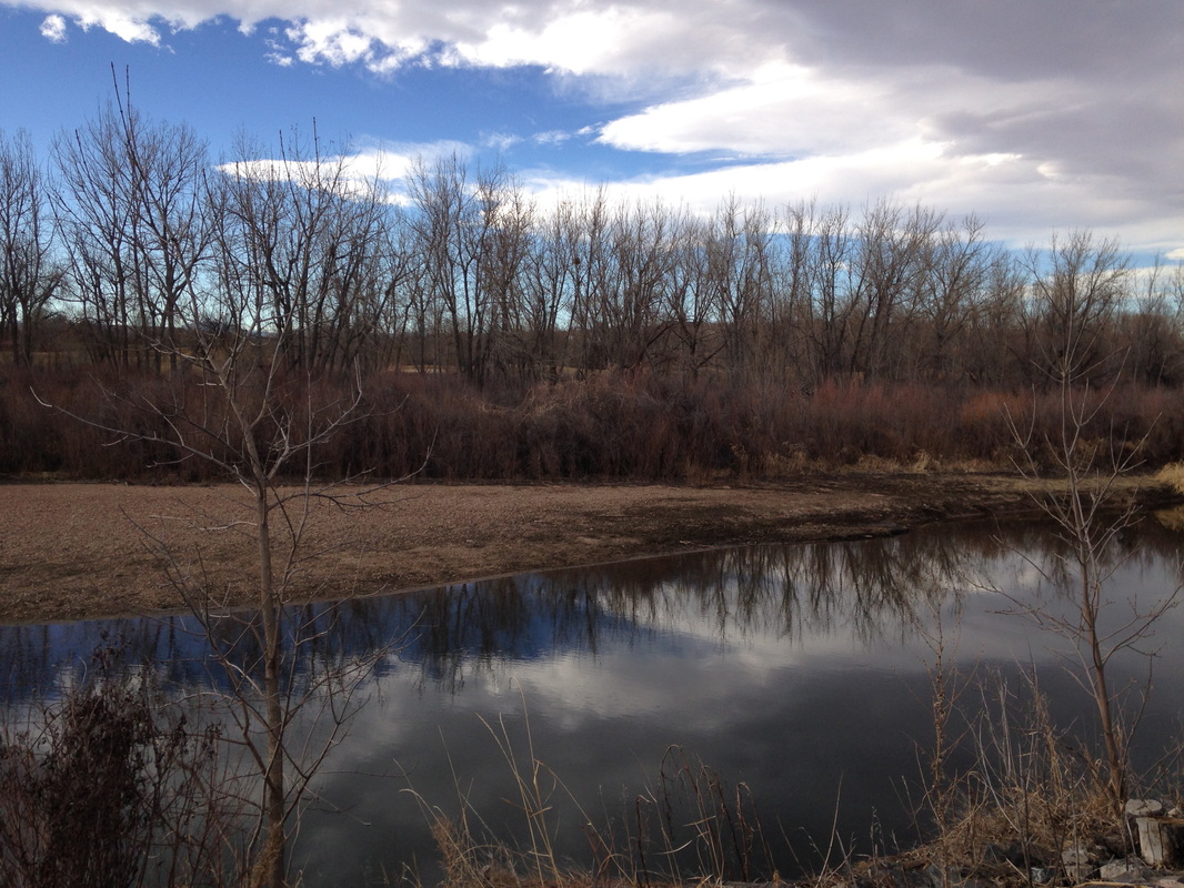
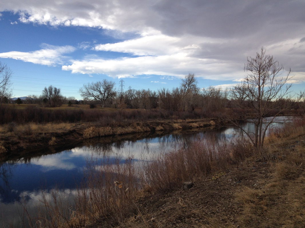
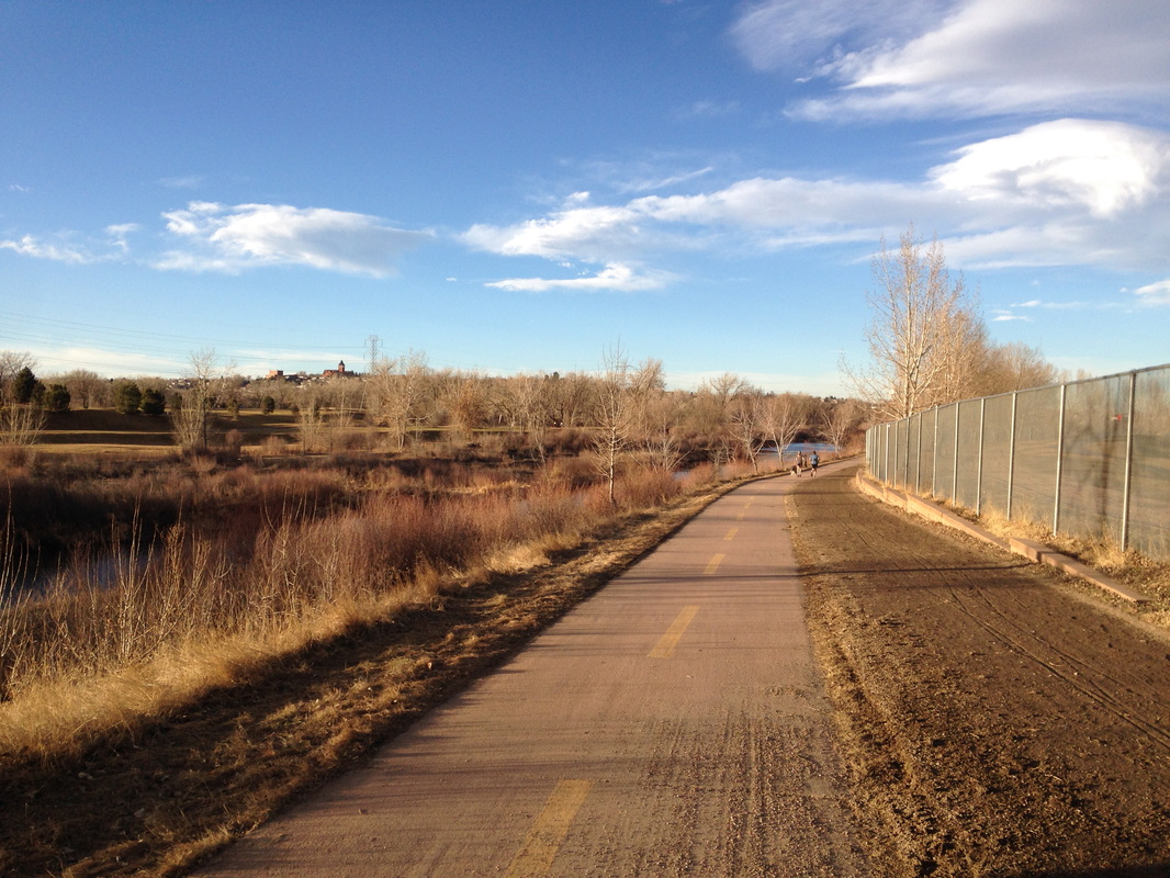
The Denver area has a multitude of fantastic paved biking and walking trails.  Walking these trails can be a great alternative to hiking when the foothills become muddy, sloppy, and icy in the winter and early spring.  The Mary Carter Greenway is one of the nicest of these trails.  The Mary Carter Greenway runs from Chatfield State Park north to Englewood where it meets the S. Platte River Trail.  There are various segments of the trail that provide a more natural setting and have options for side-trails through forests and along the river.

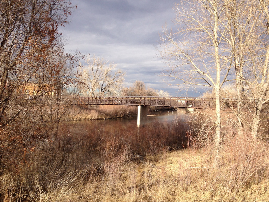
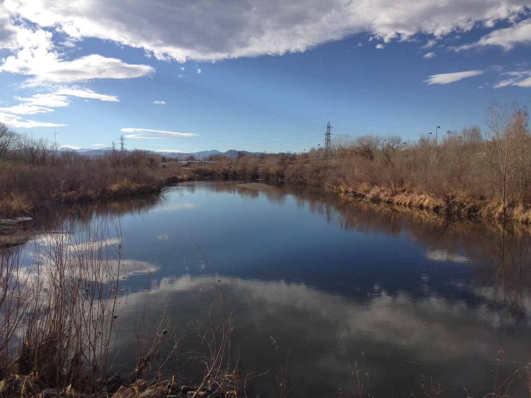
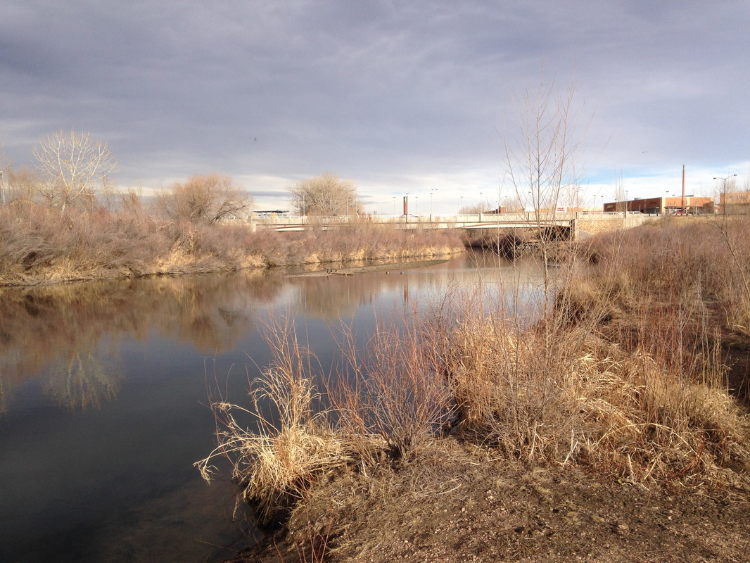
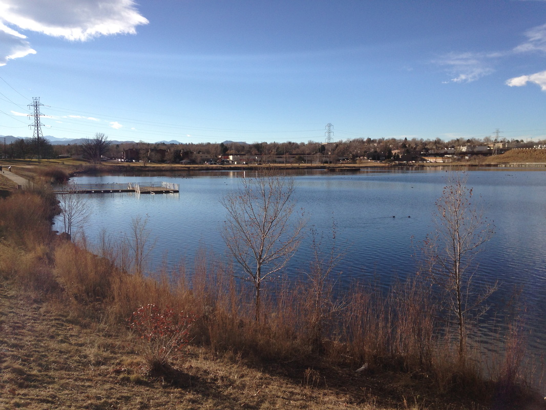
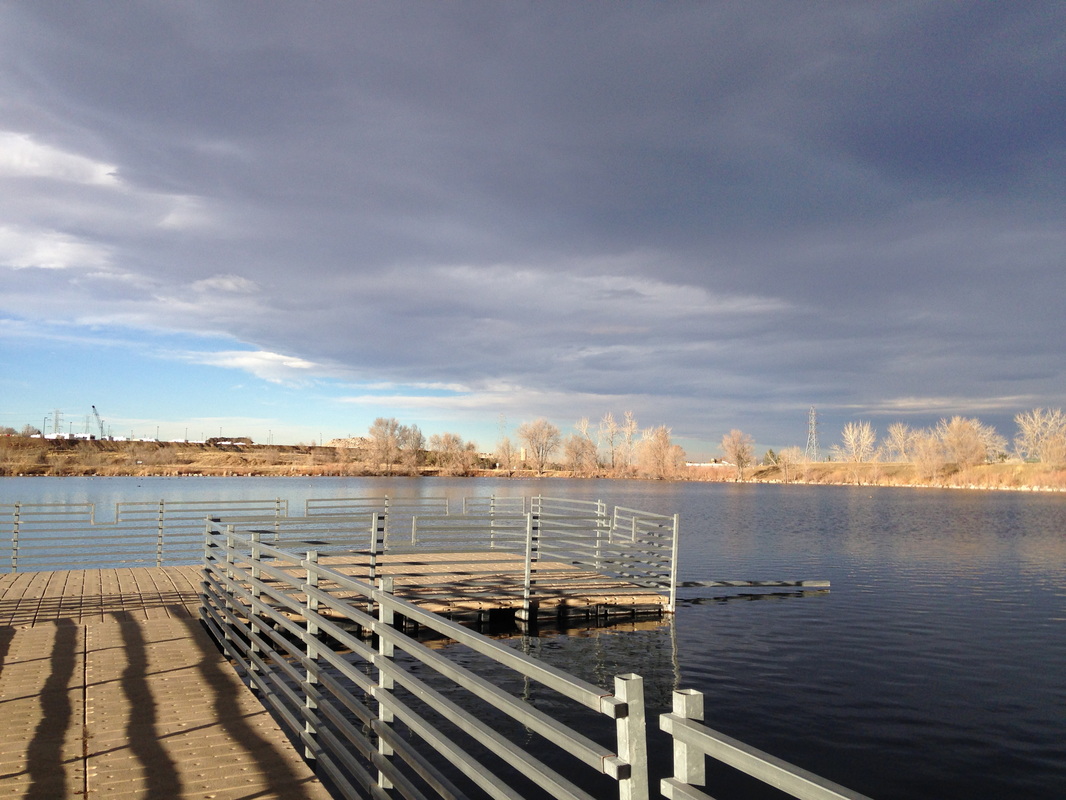
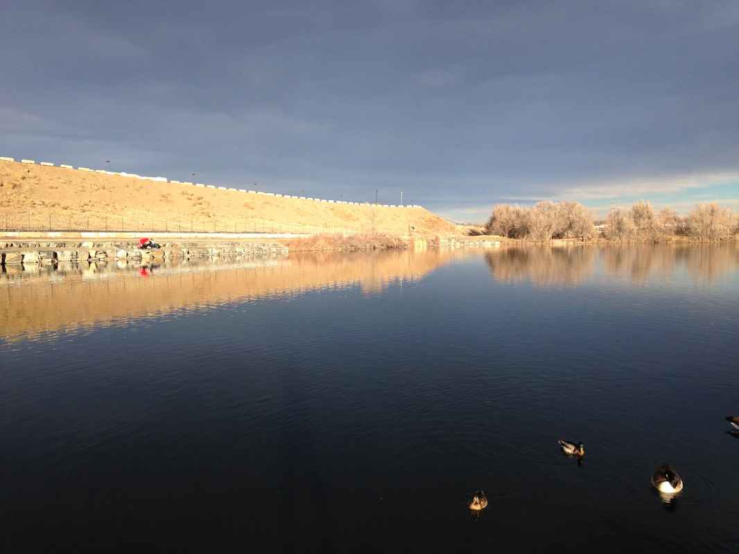
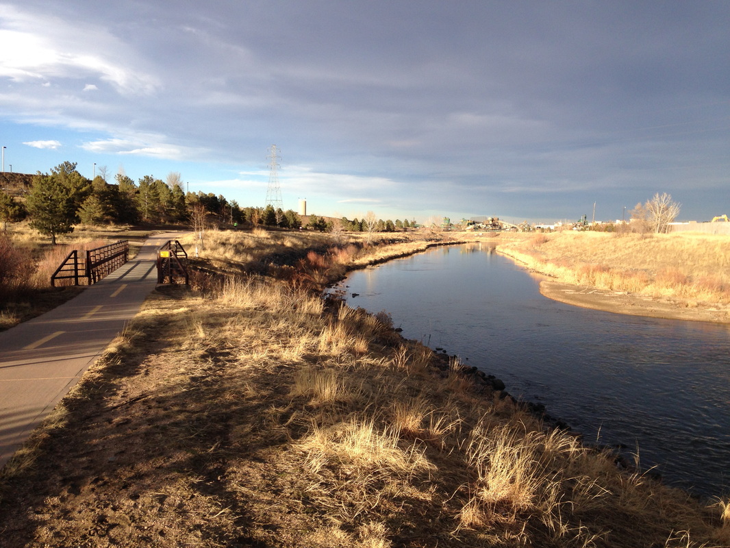
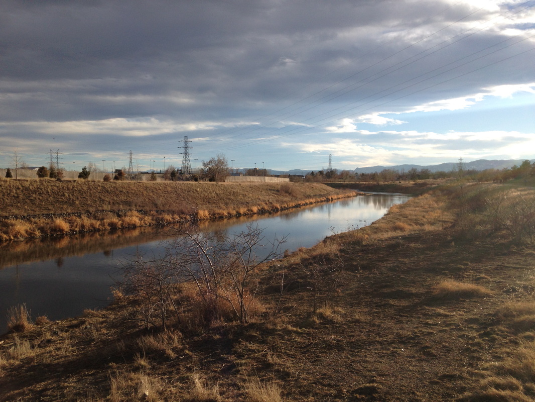
From the River Point Shopping Center you follow the trail to the south in-between the golf course and the S. Platte River.  After just a few minutes of walking you can take a small side trail to the right.  This trail accesses the river and parallels the paved trail for a little ways, offering some actual natural surface hiking.  Continue following the S. Platte, past a quarry and industrial zone (just hold your breath and plow through) and at the 1.5 mile mark you’ll be just about at Centennial Park (City of Englewood Parks).  Again there are some side trails here but follow the paved trail across a small footbridge until you see the lake.  There is a paved trail around the lake for .9 miles with nice viewpoints, fishing piers, and plenty of picnic areas.  Loop around the lake and return to the trailhead along the same stretch of the Greenway.  

© Go Hike Colorado, 2020.  All Rights Reserved. 
Use of photographs without prior authorization is
​strictly prohibited.


Contact us at:
[email protected]
Legal Disclaimer - Information provided on this site is based upon our own observations, always double check information with the appropriate land management agency before heading into the backcountry.  Backcountry travel is inherently dangerous, please take all proper precautions.  Go Hike Colorado is not responsible for injury or incident.