|
Directions: The Creekside Experience Park is located off of Santa Fe Blvd, just north of Belleview Street. Look for the park sign on the western side of the road and turn into the driveway and parking area.
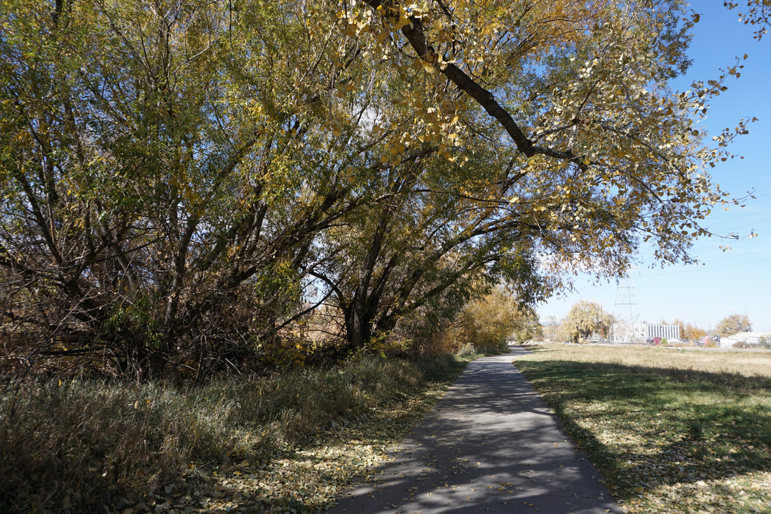
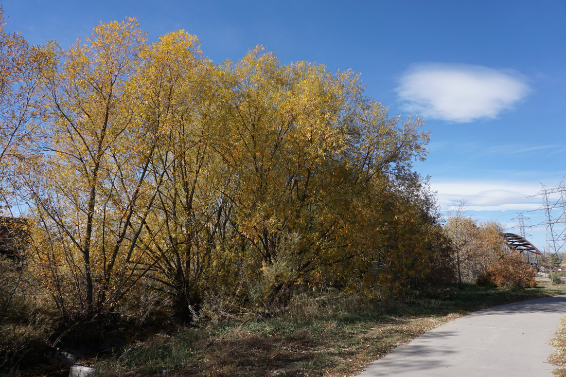
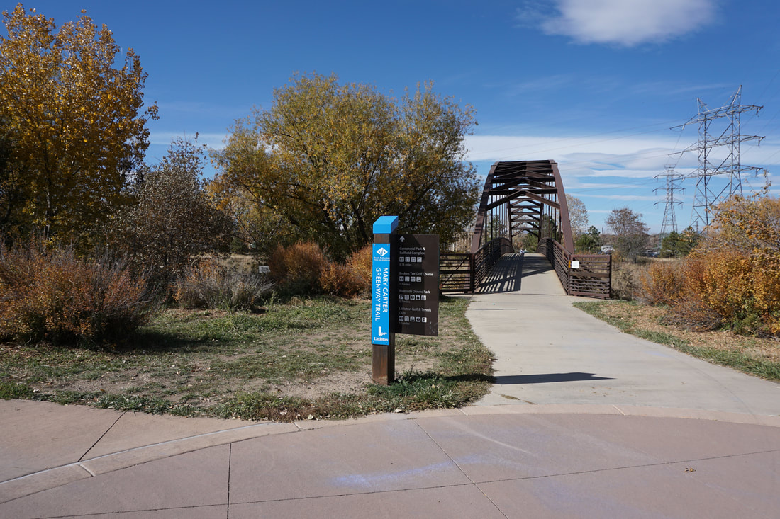
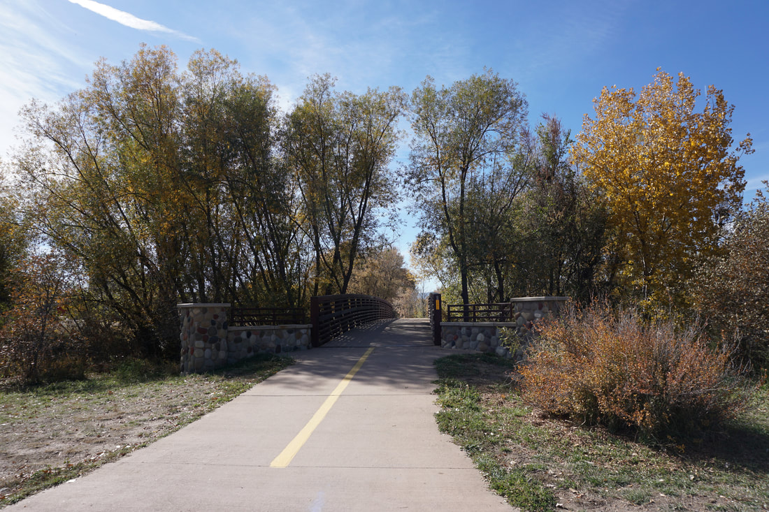
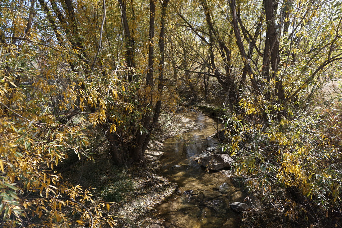
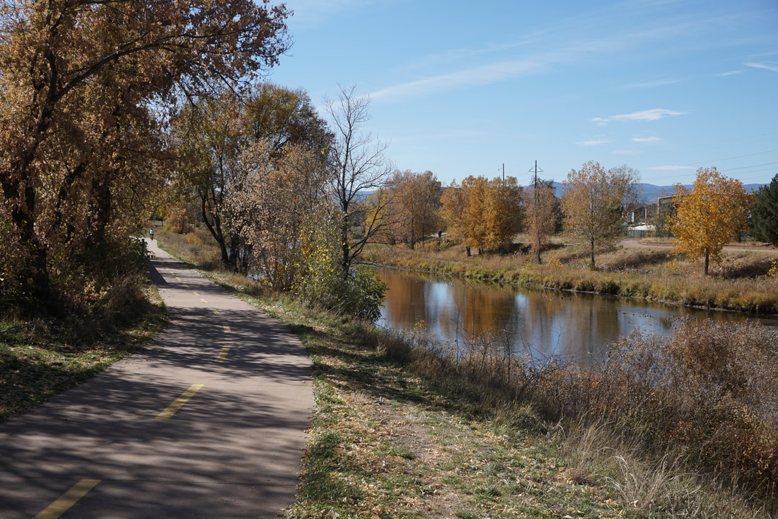
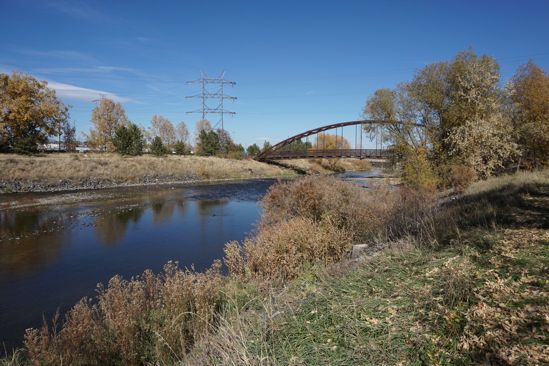
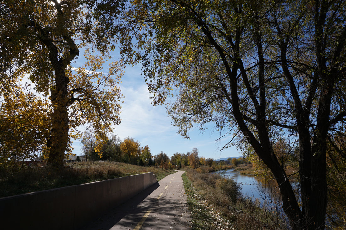
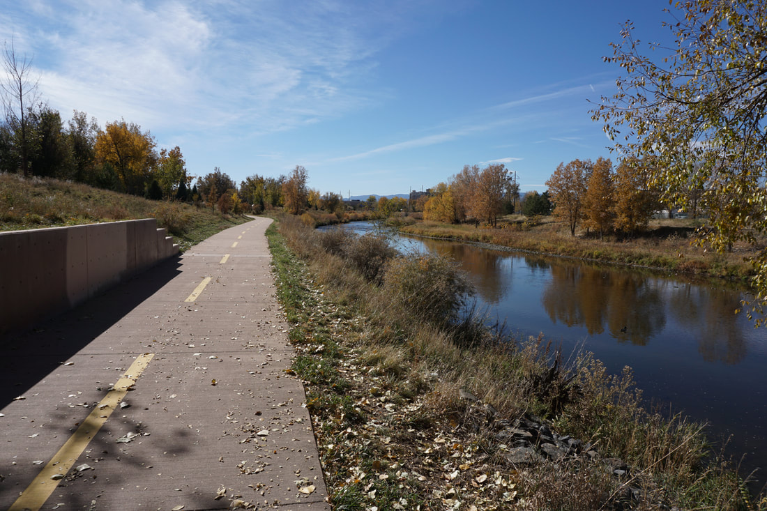
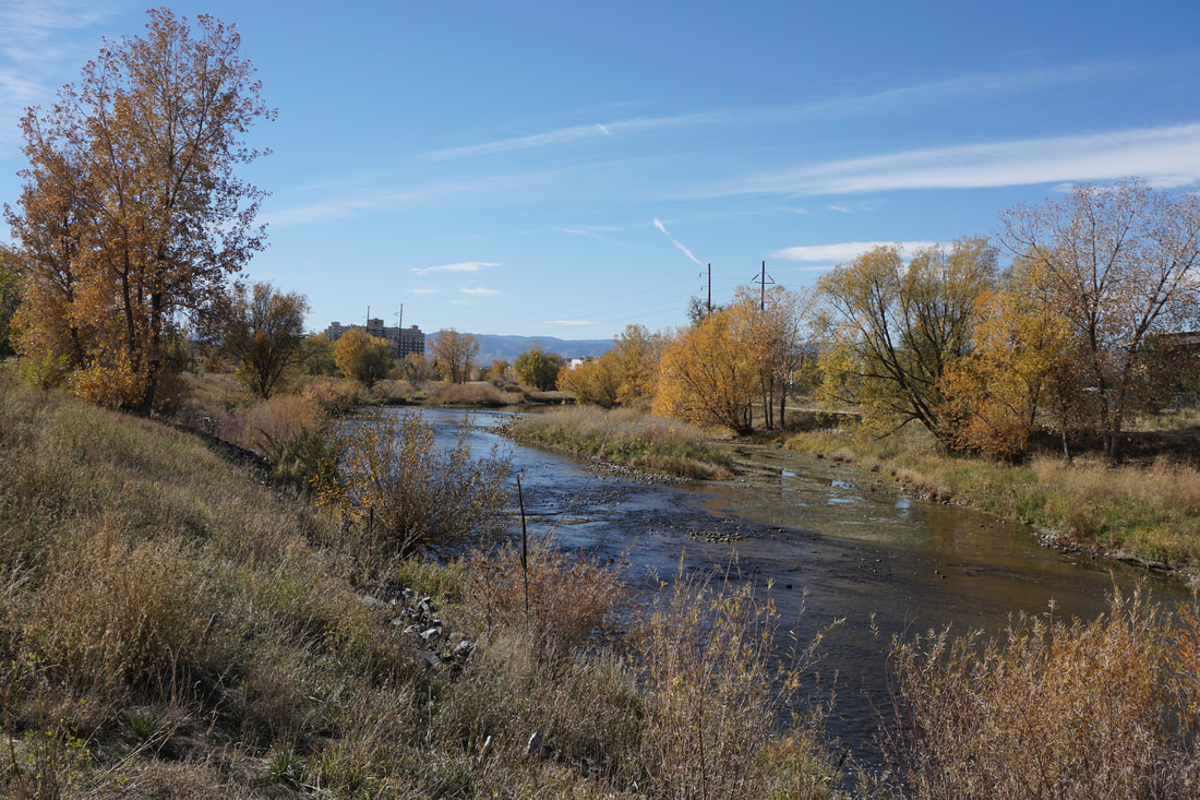
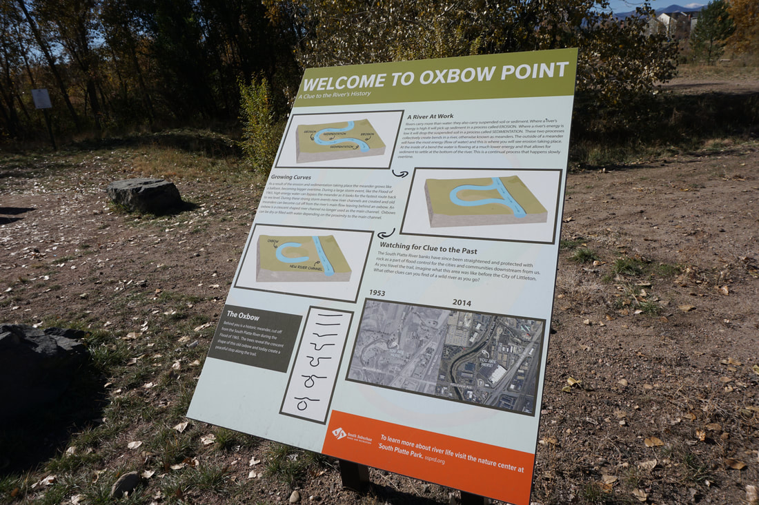
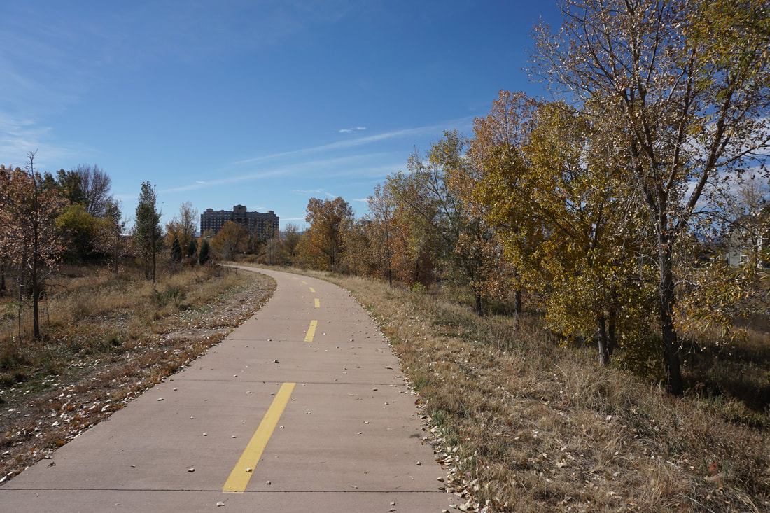
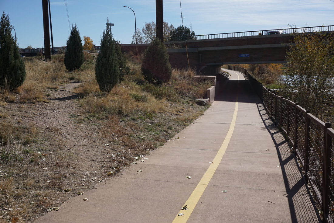
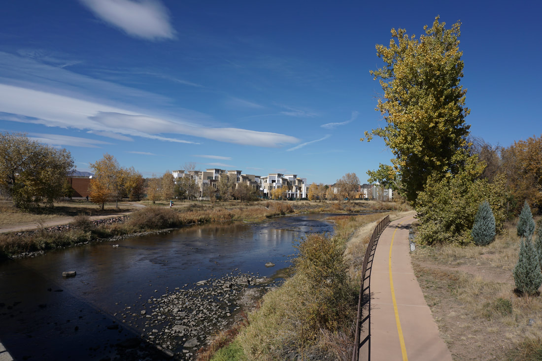
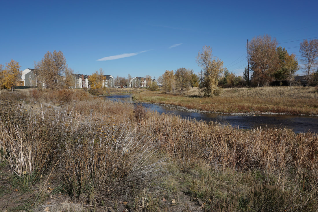
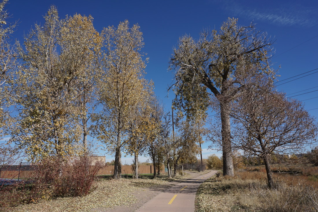
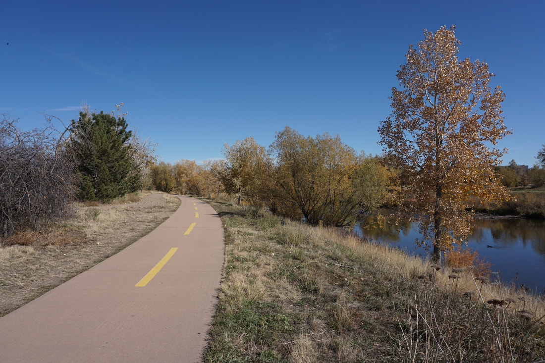
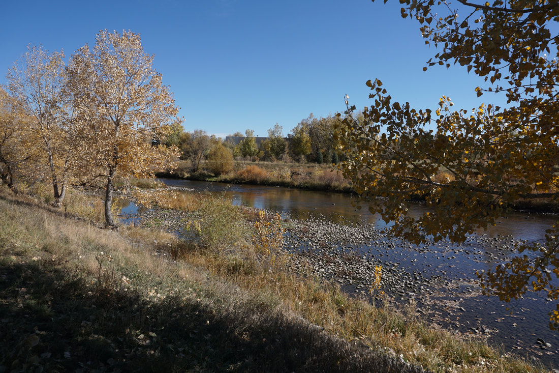
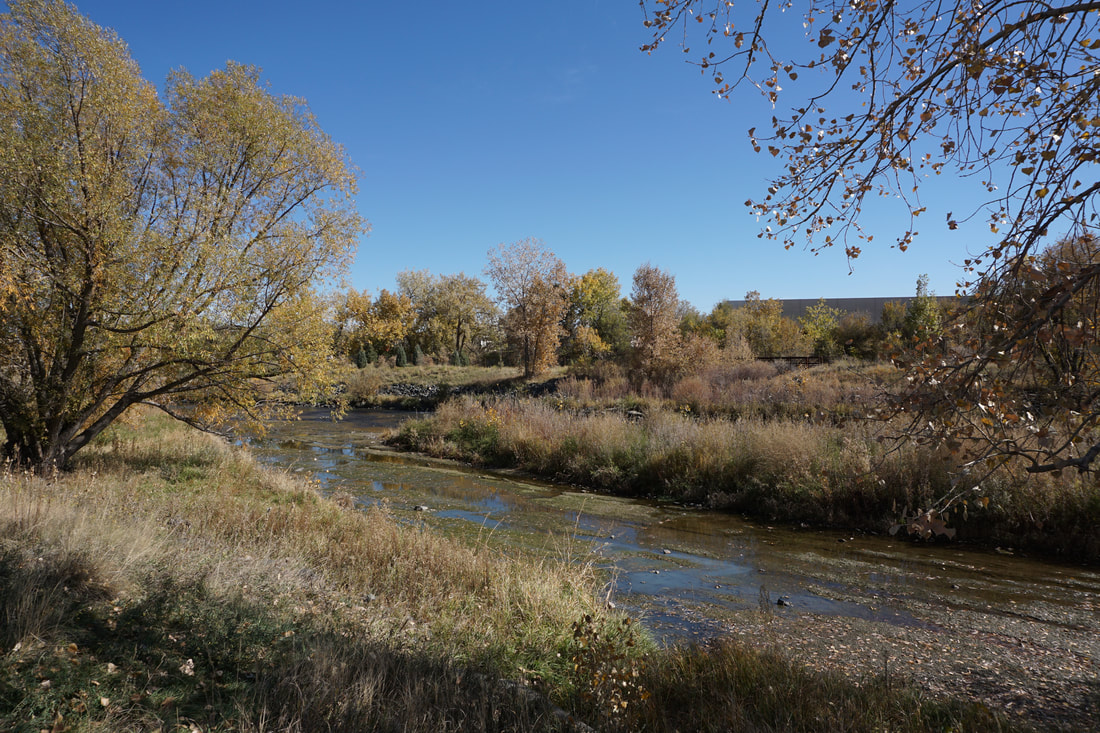
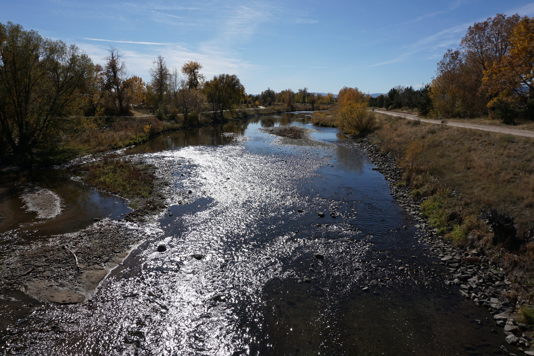
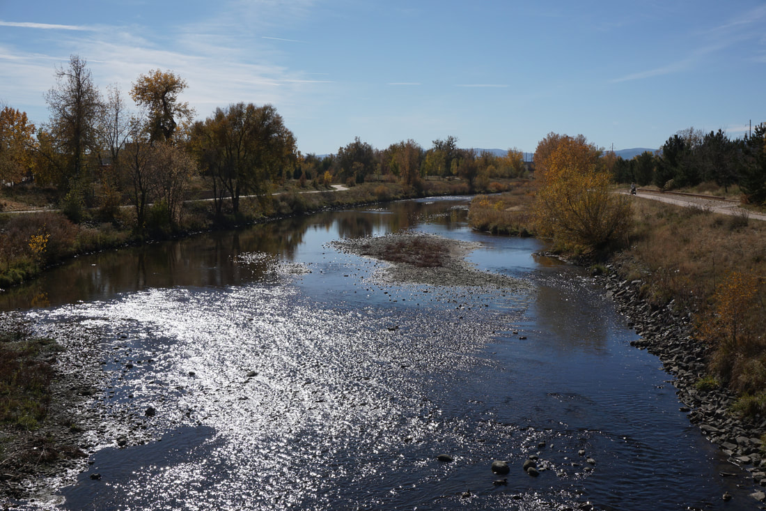
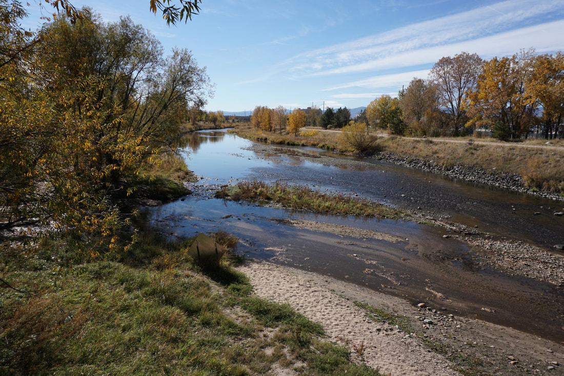
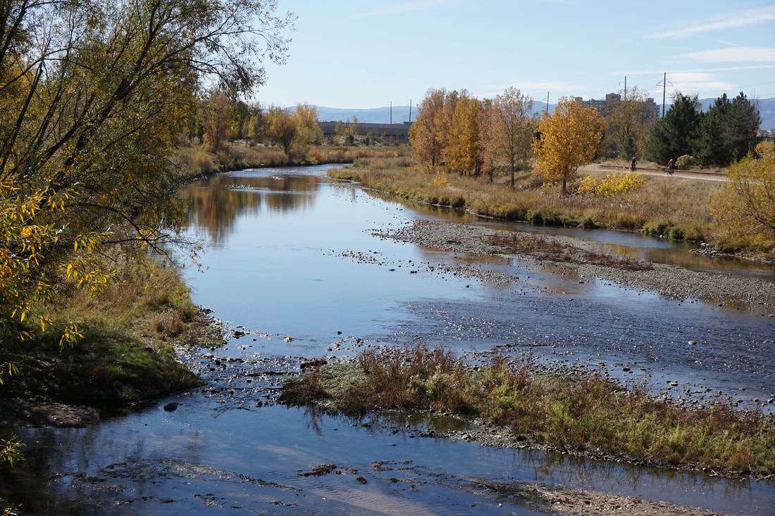
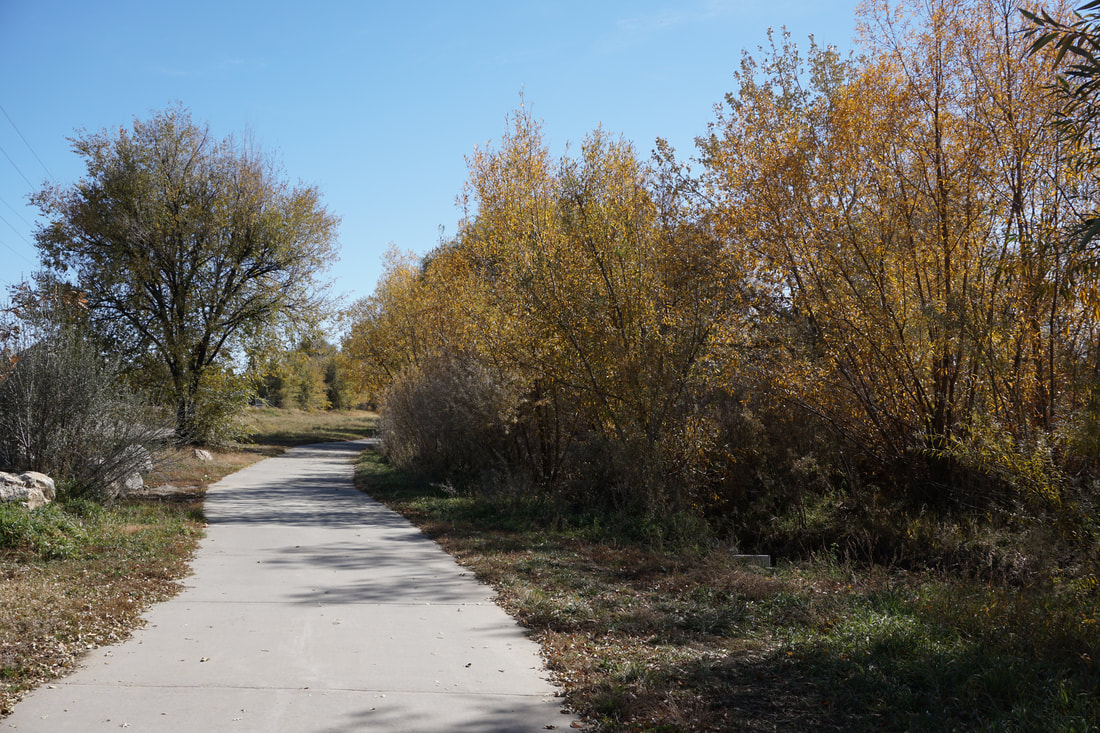
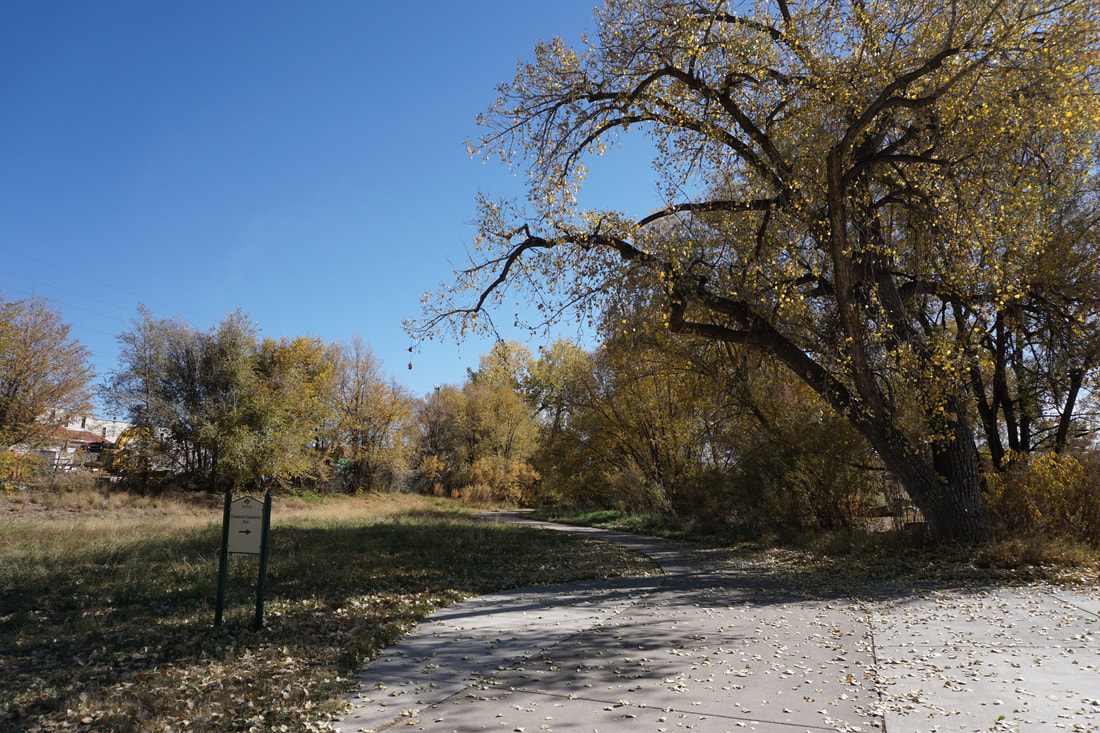
This section of the Mary Carter Greenway starts at the Creekside Experience Park. The park has a playground and activities for children to learn about the local ecosystems. This is also the spot where the Big Dry Creek Trail and the Mary Carter Greenway Converge, making it a useful trailhead for multiple hikes. The paved trail heads follows Big Dry Creek to the S. Platte River and a large bridge. Turn left and head south along the Greenway. This stretch of trail is nice in the fall as it is lined with Cottonwood Trees. Along the way you'll pass the Oxbow Point picnic area. Before long the trail passes under Belleview Street. Climb up to street level and cross the overpass to the other side of the S. Platte. Returning to the trail you can return to the footbridge along the western bank. This side of the creek is not quite as scenic and you need to pass by a garbage facility, luckily the smell doesn't linger for too long. Cross the footbridge and return to the Creekside Experience Park. All-in-all, this is a nice enough walk, but nowhere near as pleasant as the South Platte Park area to the south. |
|
- HOME
- ABOUT
-
HIKES BY REGION
-
NATIONAL PARK HIKES
- BENT'S OLD FORT NATIONAL HISTORIC SITE
- BLACK CANYON OF THE GUNNISON NATIONAL PARK
- COLORADO NATIONAL MONUMENT
- CURECANTI NATIONAL RECREATION AREA
- DINOSAUR NATIONAL MONUMENT
- FLORISSANT FOSSIL BEDS NATIONAL MONUMENT
- MESA VERDE NATIONAL PARK
- ROCKY MOUNTAIN NATIONAL PARK
- GREAT SAND DUNES NATIONAL PARK
- HOVENWEEP NATIONAL MONUMENT
- SAND CREEK MASSACRE NATIONAL HISTORIC SITE
- YUCCA HOUSE NATIONAL MONUMENT
- HIKES BY CATEGORY
- NEWS
- WEBCAMS
- $UPPORT GHC
- INTERACTIVE MAP
Mary Carter Greenway
Creekside Experience Park to Belleview Street
Date Hiked: October 26, 2018
Distance: 1.7 mi (RT)
Elevation Gain: minimal
Elevation: 5,363 ft
Trailhead Lat/Long:39º 37' 46" N; 105º 00' 43" W
Managing Agency: S. Suburban Parks & Rec. District
Fee: None