
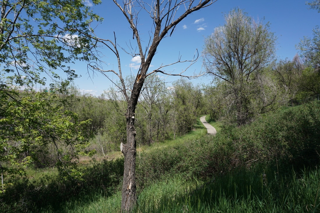
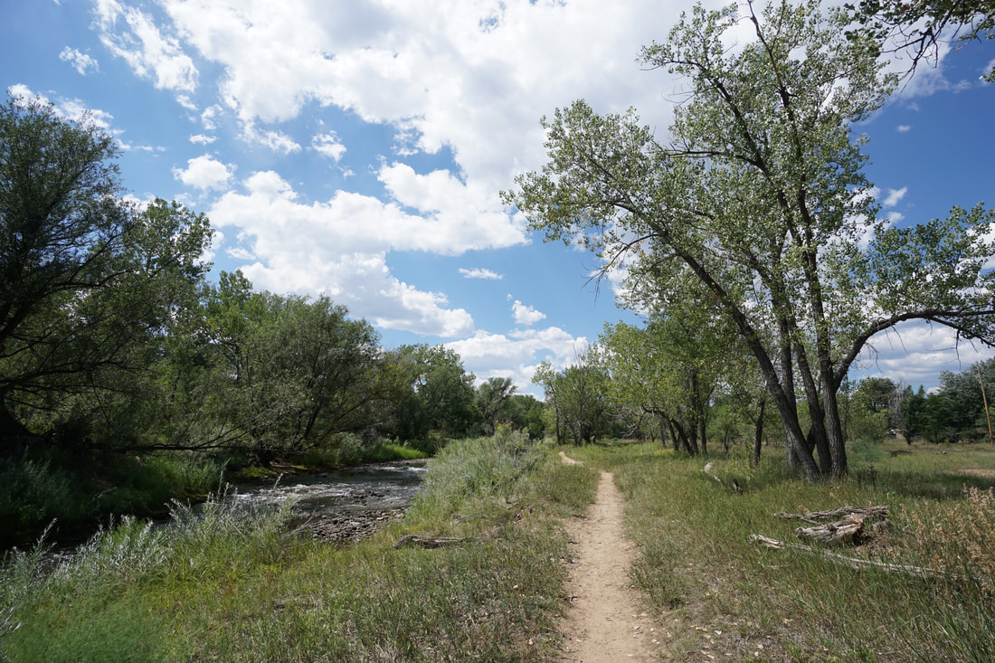
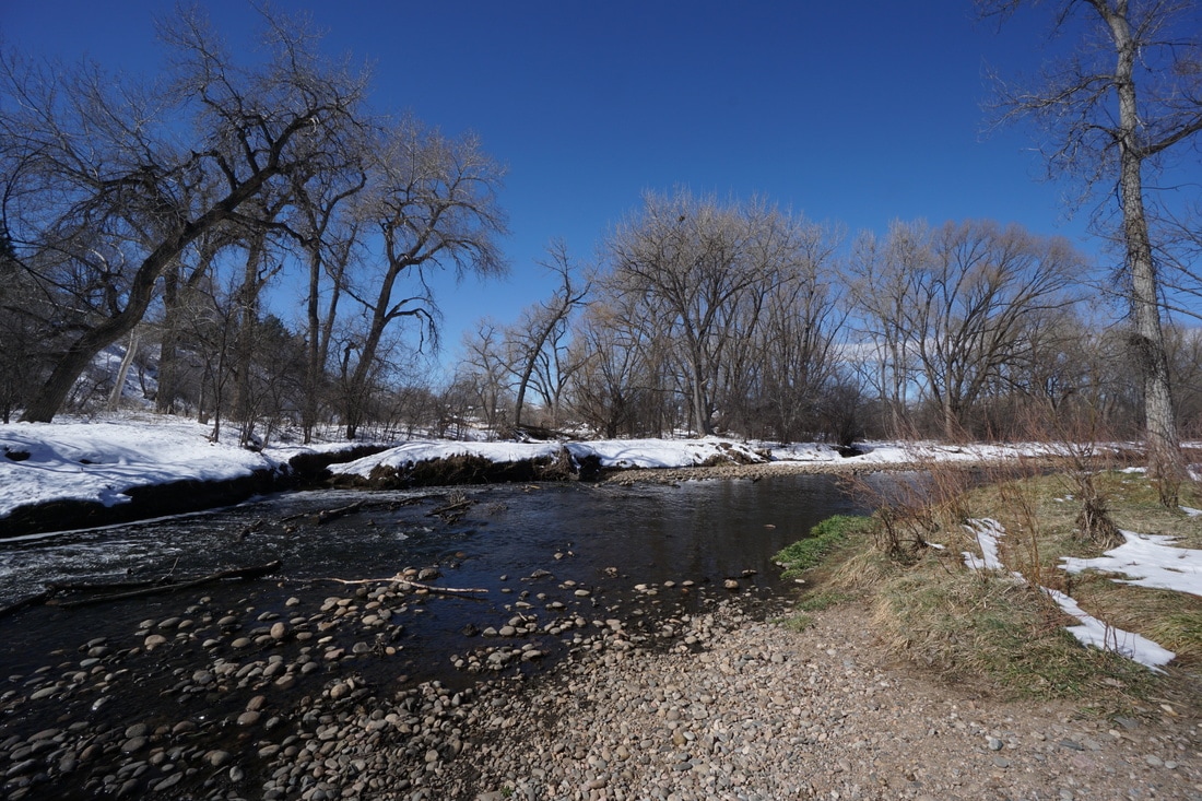
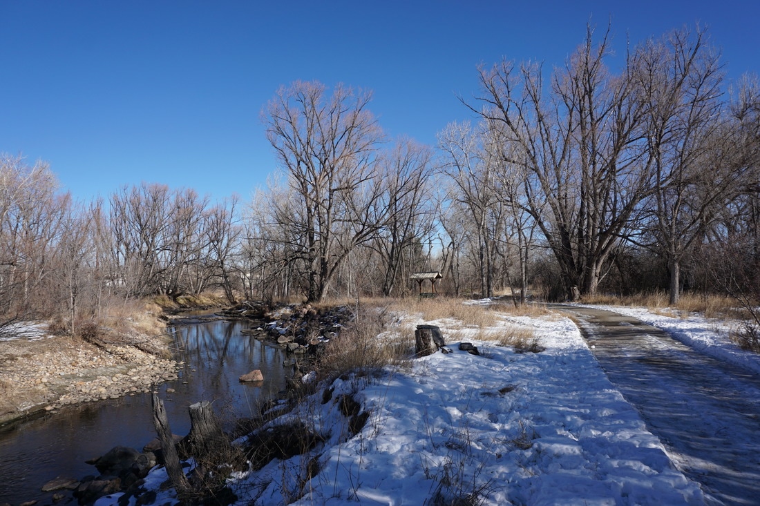
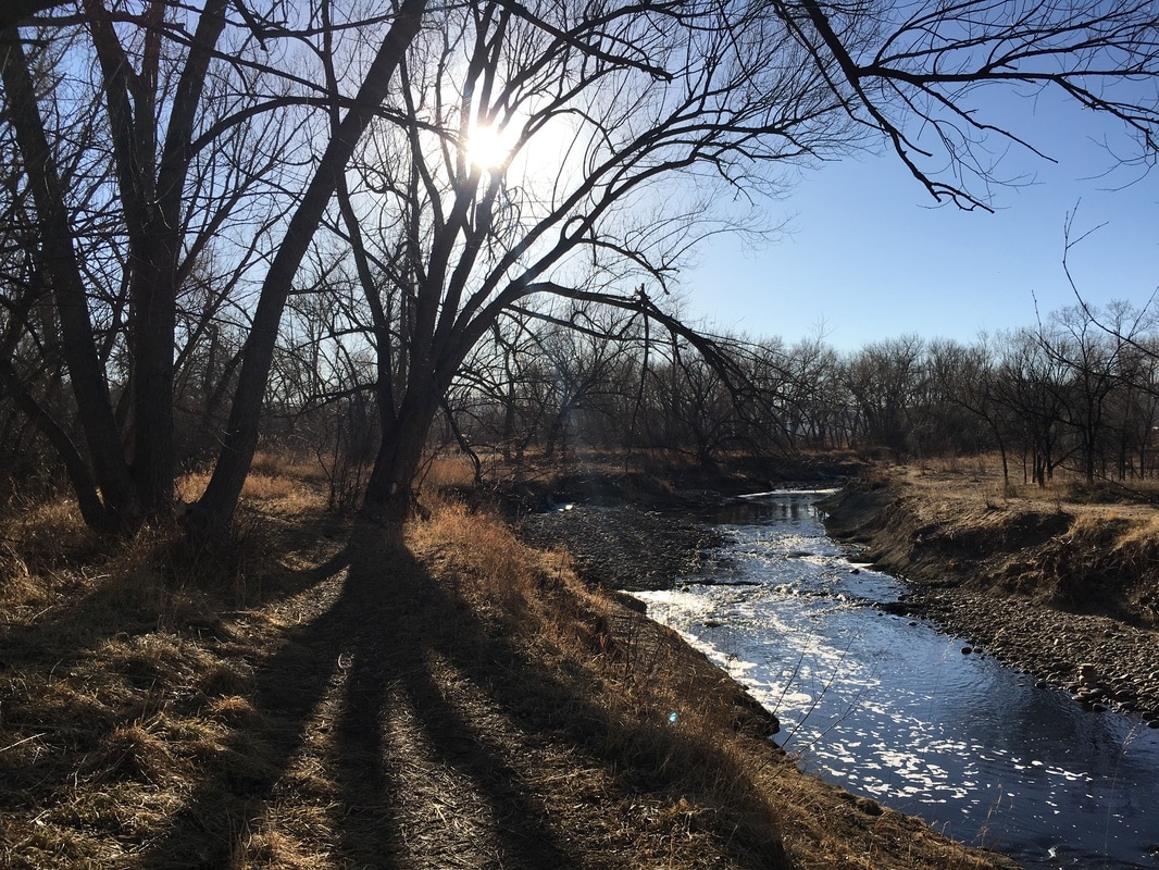
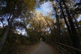
The Clear Creek Trail is a paved multi-use trail that begins at the South Platte River and heads west to Golden. The trail was recently designated as a National Recreation Trail and caters to bikers and hikers alike. While the trail is paved, there are numerous natural surface side and social trails that allow for pleasant hiking routes.
The Wheat Ridge Greenbelt is a segment of the Clear Creek Trail that starts at the boundary for the City of Wheat Ridge (Sheridan Blvd). The Greenbelt connects several city parks and provides a continuous scenic corridor making it perfect for public use and exploration.
The Wheat Ridge Greenbelt is a segment of the Clear Creek Trail that starts at the boundary for the City of Wheat Ridge (Sheridan Blvd). The Greenbelt connects several city parks and provides a continuous scenic corridor making it perfect for public use and exploration.
From East to West:
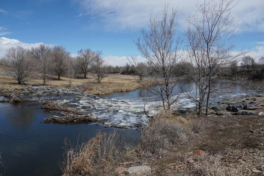
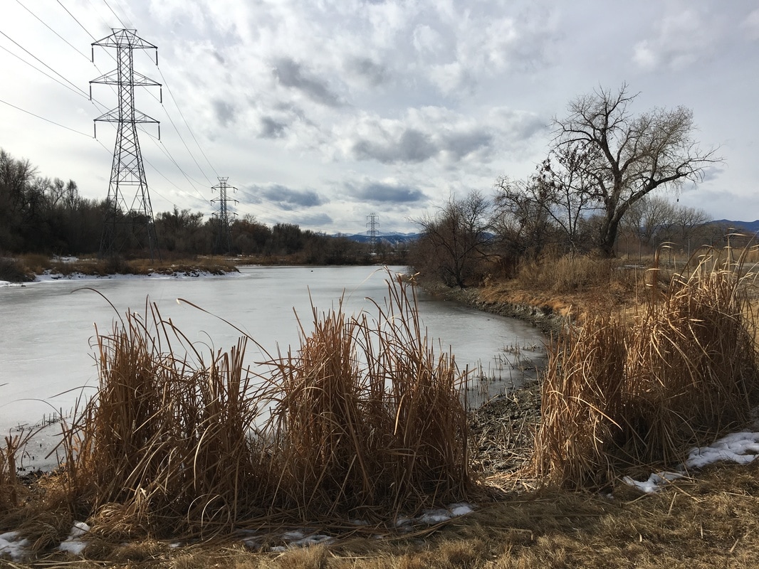
Confluence of Clear Creek & South Platte River
1 mi (RT) |
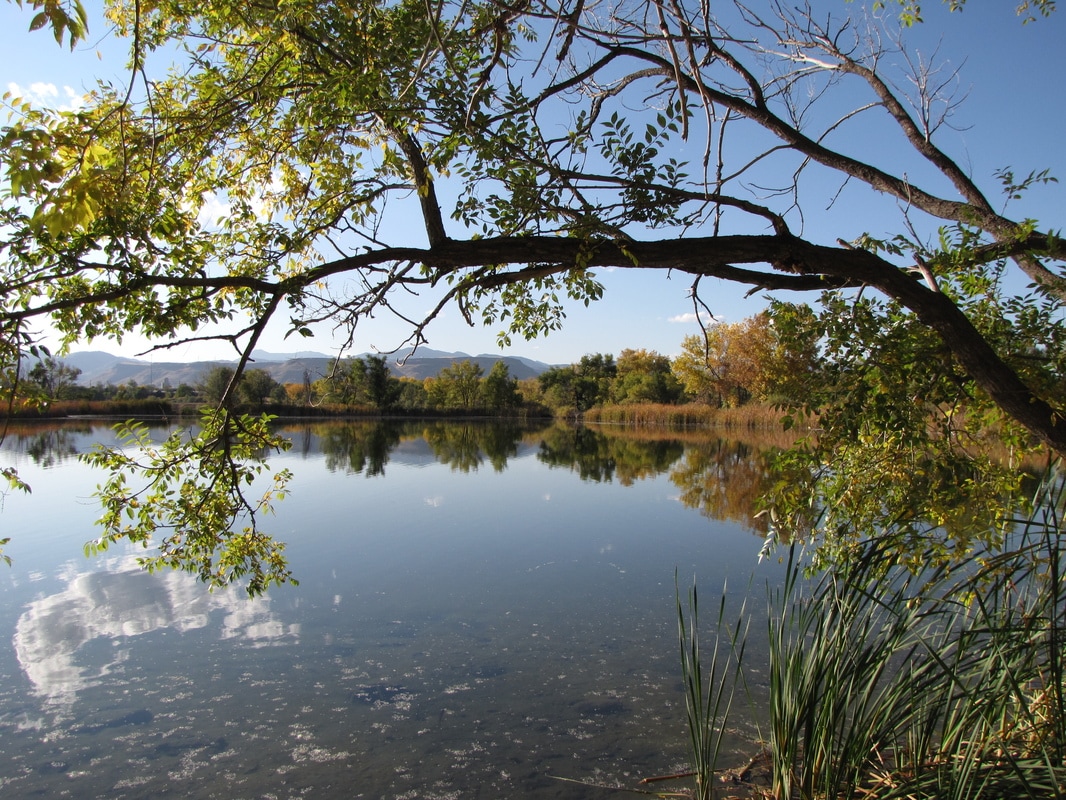
Twin Lakes Park
1.1 mi (RT) |
Little Dry Creek Lake Park to Federal Blvd.
2.3 mi (RT) |
Lowell Blvd.to Federal Blvd.
1.7 mi (RT) |
Lowell Ponds SWA to Sheridan Blvd.
2 mi (RT) |
Sheridan Blvd. (Gold Strike Park) to W. 52nd Avenue
1.5 mi (RT) |
Harlan Street to Johnson Park
2.5 mi (RT) |
Johnson Park to Anderson Park
2 mi (RT) |
Anderson Park to Kipling Street
1.8 mi (RT) |
Kipling Street to Prospect Park
2 mi (RT) |
Prospect Park to West Lake
1.15 mi (RT) |
West Lake & Bass Lake Loop
1.5 mi (RT) |
Grant Terry Park
Clear Creek Canyon Park 1.5 mi (RT) |
