|
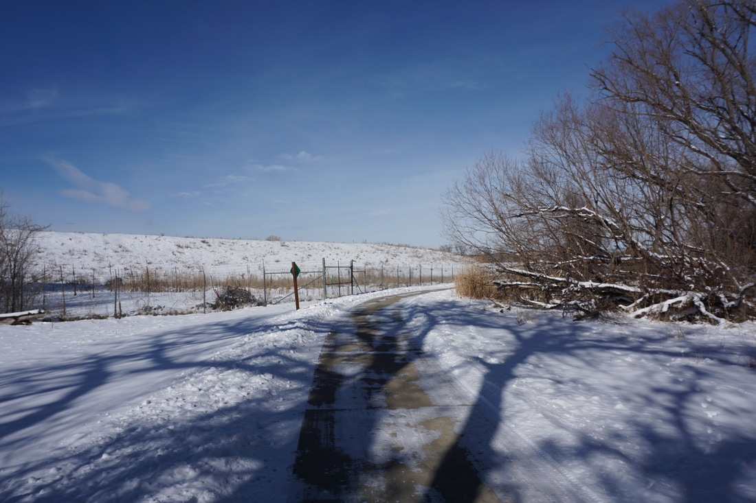
Directions: The trailhead for this section of the Clear Creek Trail is on Lowell Blvd, south of where I-76 crosses over. There is a large parking area on the east side of Lowell and a smaller parking area for the Lowell Ponds State Wildlife Area on the west side of the street. Park at the large parking area on the east side and pick up the trail from the parking lot.
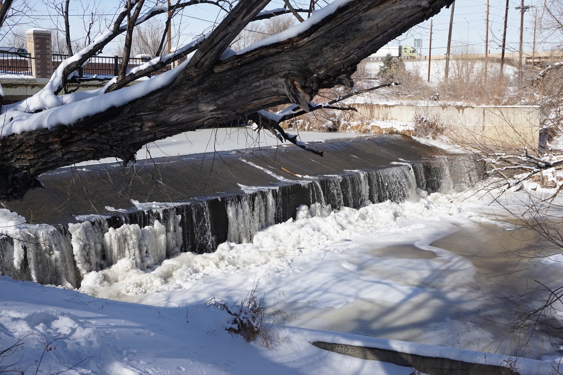
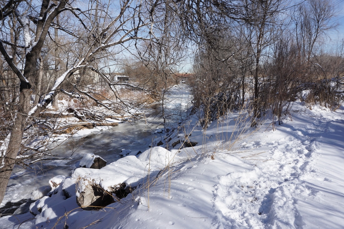
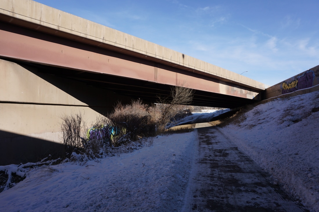
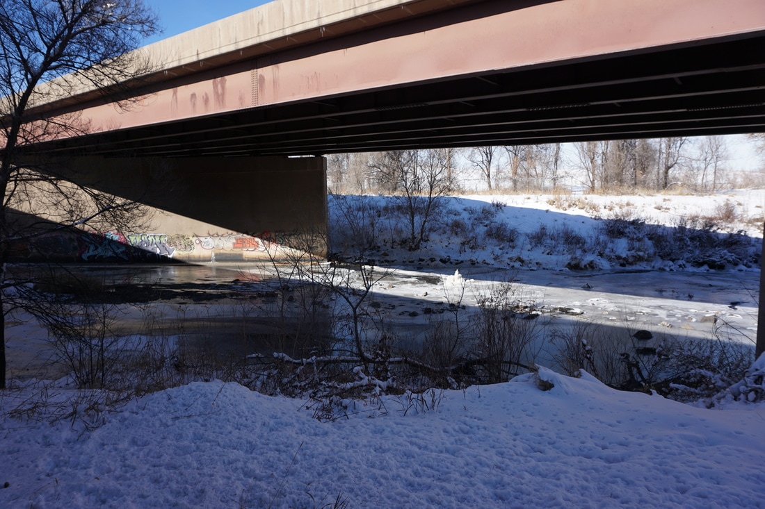
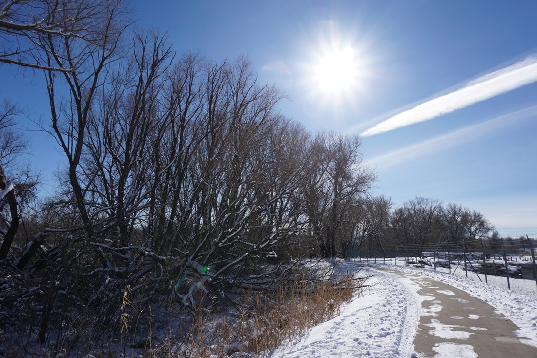
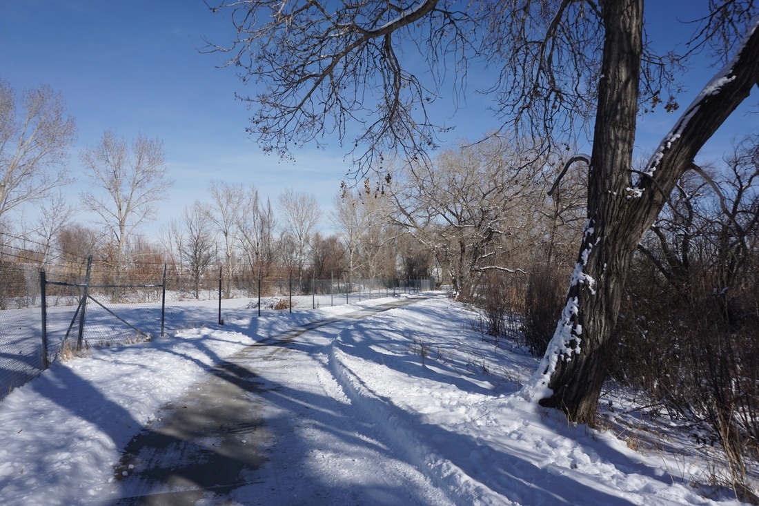
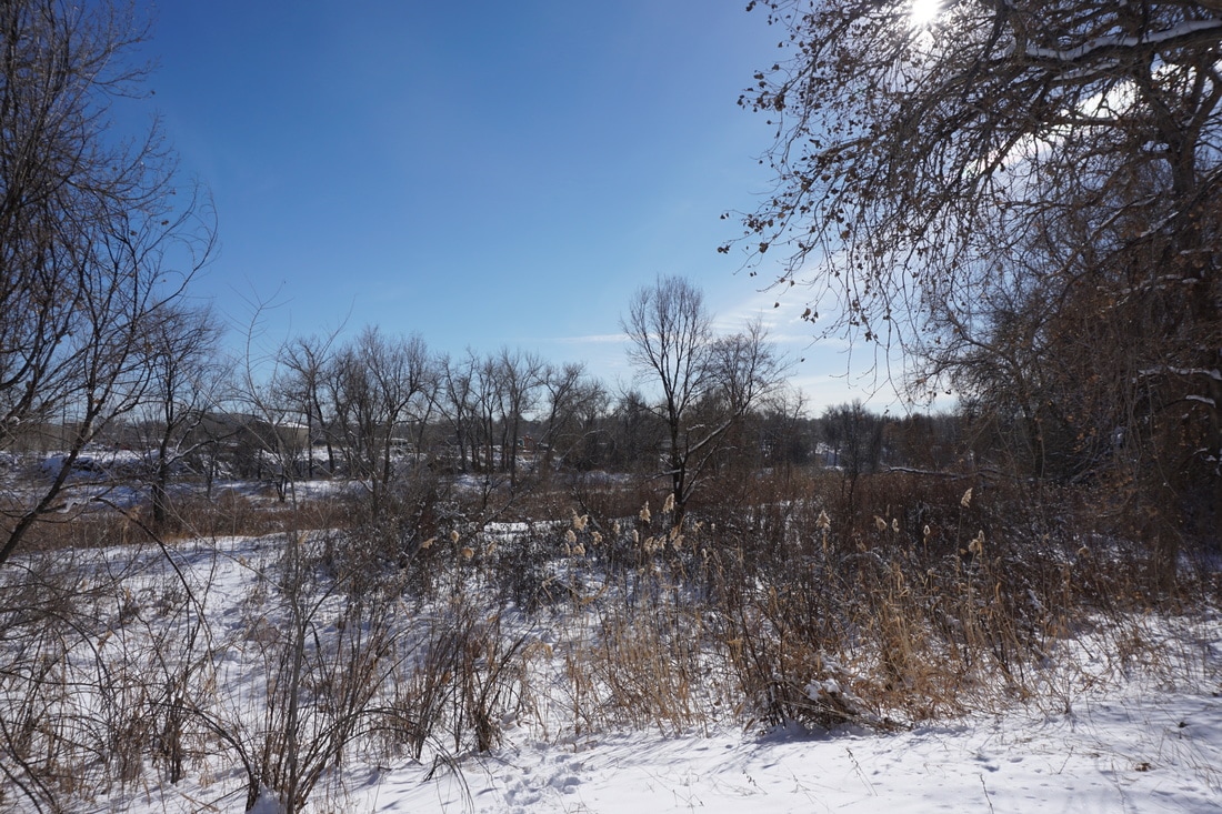
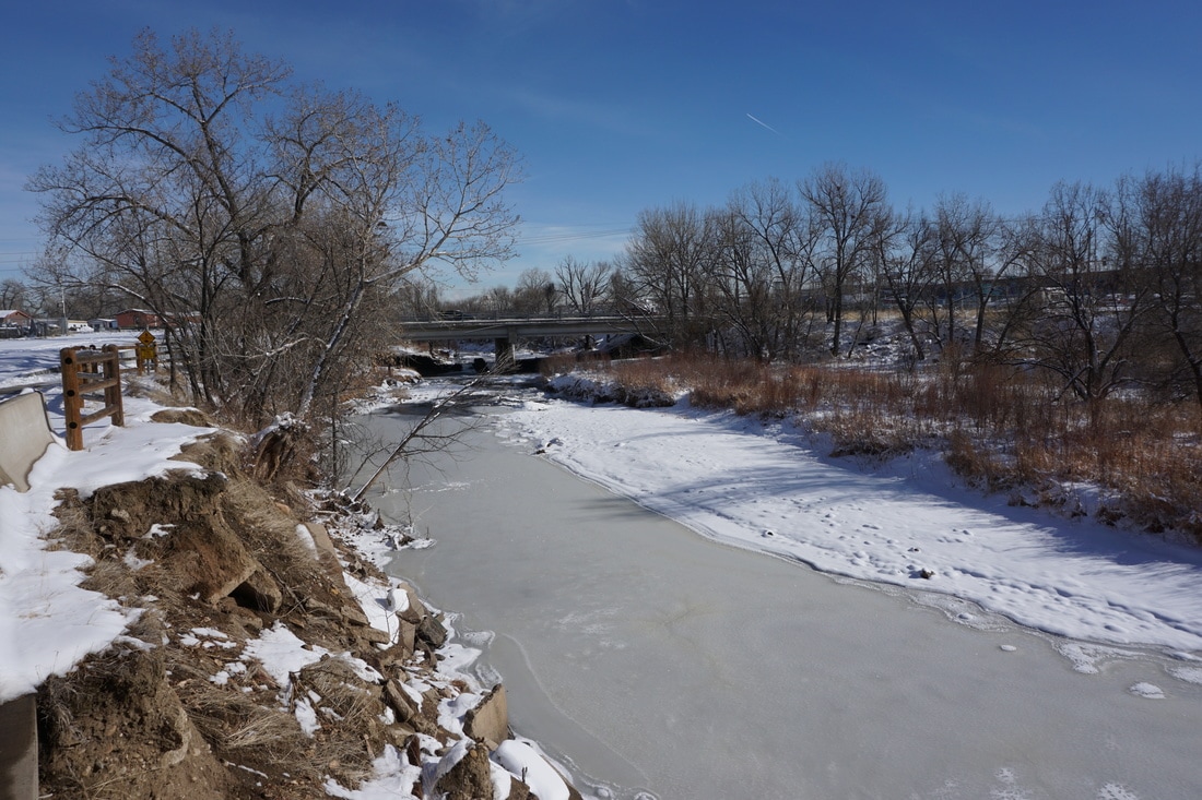
From the Lowell Ponds area heading east on the Clear Creek Trail, the trail can start to get a little more...urban... This short segment however makes for a nice walk as it follows Clear Creek under the highway and under some train tracks.
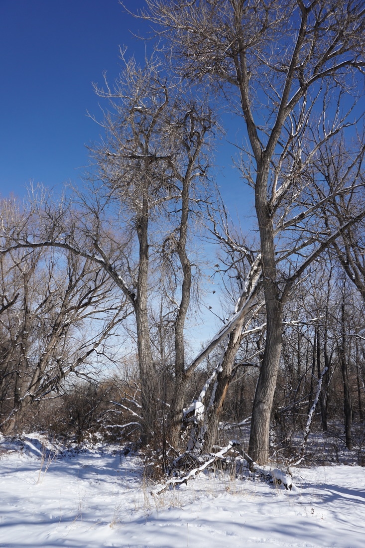
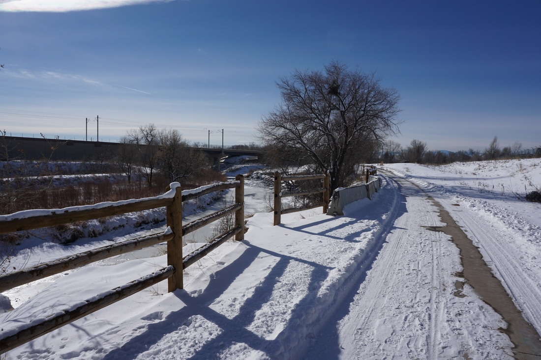
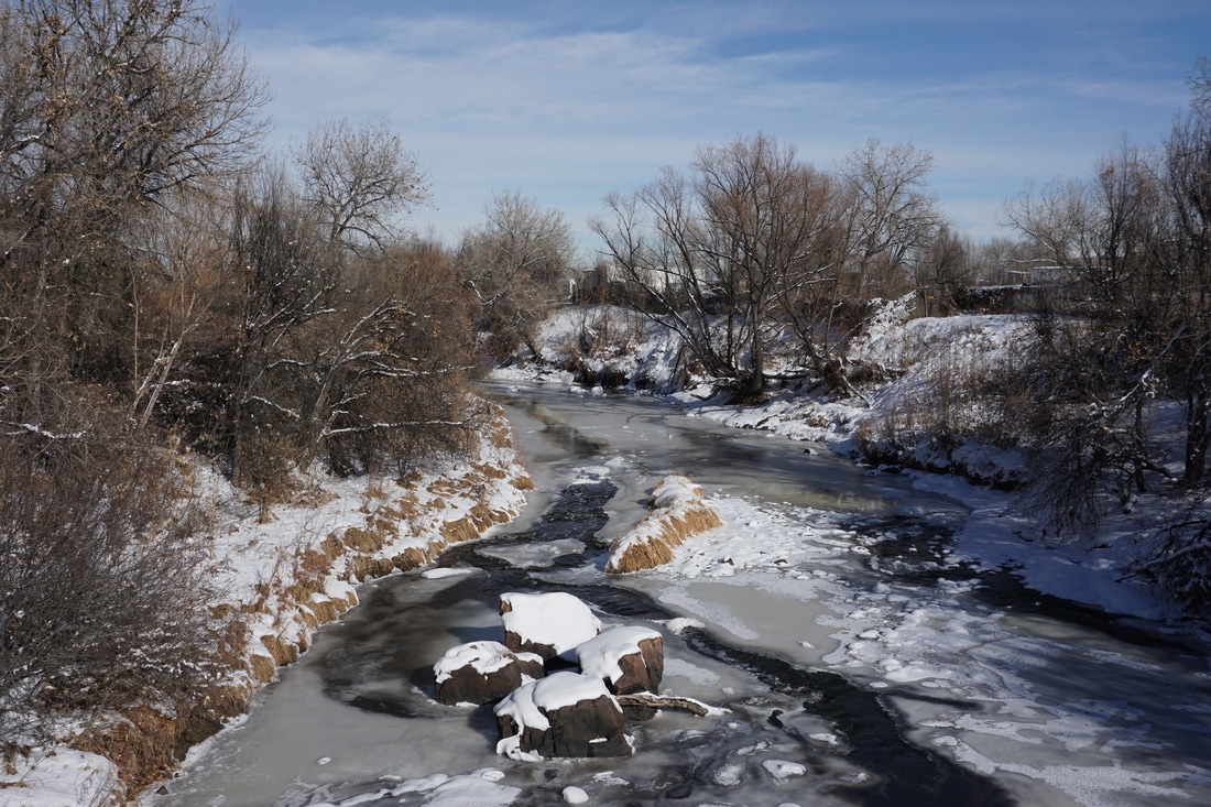
Along the way you'll notice colorful graffiti on the overpasses and if you look more closely, some interesting geology in the creek bed. Cross under the I-76 overpass and cross over the creek on a footbridge. The view northeast from the bridge is one of the nicest on the trail. After the bridge the trail leaves the creek bed as it winds through dense forest with lakes and clearings to the north. This portion has nice views of the Front Range mountains in the distance. Cross under some train tracks and return to the creek bed as you approach Federal Blvd and the turnaround for this segment. |
|
- HOME
- ABOUT
-
HIKES BY REGION
-
NATIONAL PARK HIKES
- BENT'S OLD FORT NATIONAL HISTORIC SITE
- BLACK CANYON OF THE GUNNISON NATIONAL PARK
- COLORADO NATIONAL MONUMENT
- CURECANTI NATIONAL RECREATION AREA
- DINOSAUR NATIONAL MONUMENT
- FLORISSANT FOSSIL BEDS NATIONAL MONUMENT
- MESA VERDE NATIONAL PARK
- ROCKY MOUNTAIN NATIONAL PARK
- GREAT SAND DUNES NATIONAL PARK
- HOVENWEEP NATIONAL MONUMENT
- SAND CREEK MASSACRE NATIONAL HISTORIC SITE
- YUCCA HOUSE NATIONAL MONUMENT
- HIKES BY CATEGORY
- NEWS
- WEBCAMS
- $UPPORT GHC
- INTERACTIVE MAP
Clear Creek Trail
Lowell Blvd to Federal Blvd
Date Hiked: January 7, 2017
Distance: 1.7 mi (RT)
Elevation Gain: Minimal
Elevation: 5,250 ft
Managing Agency: Adams County Parks & Trails
Fee: None