|
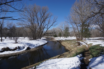
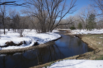
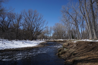
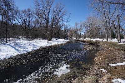
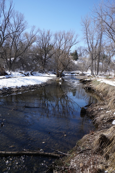
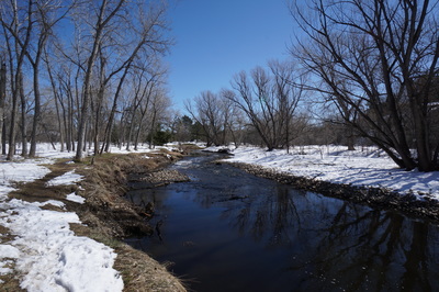
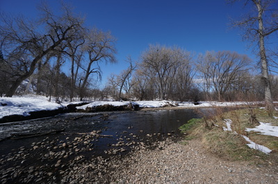
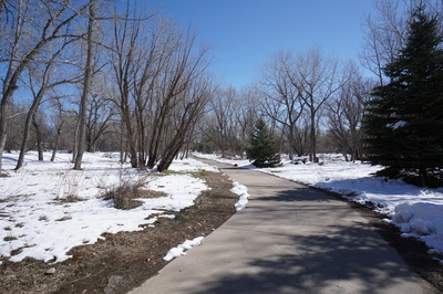
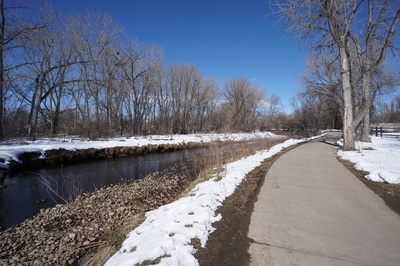
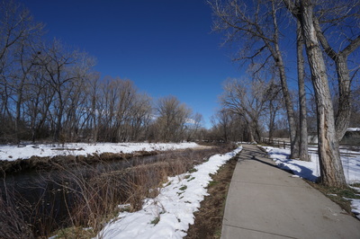
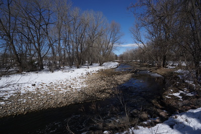
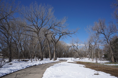
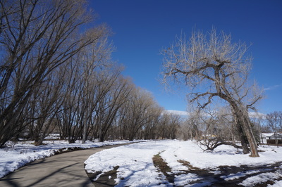
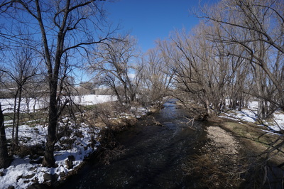
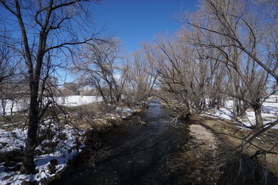
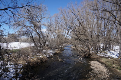
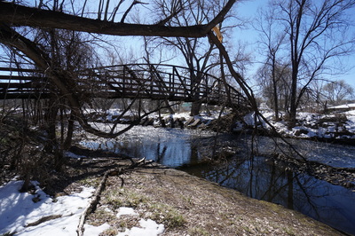
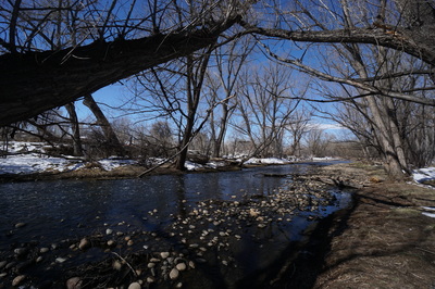
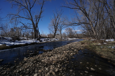
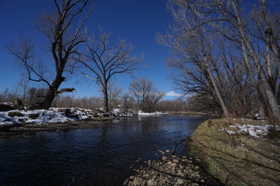
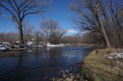
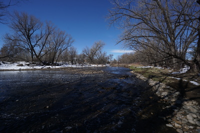
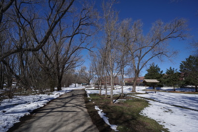
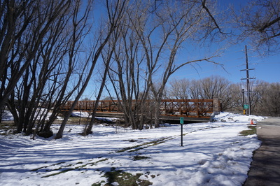
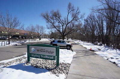
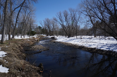
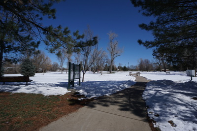
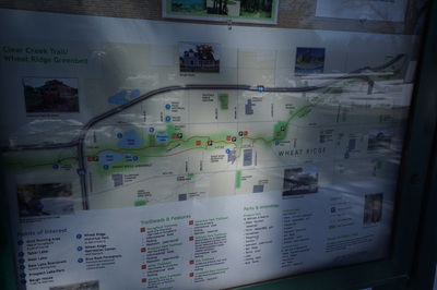
Directions: Anderson Park is locate off of 44th Ave in Wheat Ridge in between Wadsworth and Kipling Street. After entering the park, turn left into the first parking lot and park at the end of the lot. The trail starts off near the ball field and hooks up with the Clear Creek Trail. The Clear Creek Trail stretches across the entirety of the Wheat Ridge Greenbelt. The section between Anderson Park and Kipling Street is especially nice. The trail is paved and well maintained making it a wonderful option for hiking and walking in the late winter/early spring when the foothills are experiencing the mud season. There are some unpaved social/natural surface trails that branch off from the paved trail and lead down to the creek shores. These trails make the entire section feel more like a natural open space than an urban trail. This small segment of the Clear Creek Trail is great if you are looking for a quick outing to stretch you legs and reduce your stress by walking along a rolling creek. The Clear Creek Trail extends all the way to Golden and there are many opportunities for longer adventures in the Wheat Ridge Greenbelt and beyond, such as the hike around West and Bass Lakes. |
- HOME
- ABOUT
-
HIKES BY REGION
-
NATIONAL PARK HIKES
- BENT'S OLD FORT NATIONAL HISTORIC SITE
- BLACK CANYON OF THE GUNNISON NATIONAL PARK
- COLORADO NATIONAL MONUMENT
- CURECANTI NATIONAL RECREATION AREA
- DINOSAUR NATIONAL MONUMENT
- FLORISSANT FOSSIL BEDS NATIONAL MONUMENT
- MESA VERDE NATIONAL PARK
- ROCKY MOUNTAIN NATIONAL PARK
- GREAT SAND DUNES NATIONAL PARK
- HOVENWEEP NATIONAL MONUMENT
- SAND CREEK MASSACRE NATIONAL HISTORIC SITE
- YUCCA HOUSE NATIONAL MONUMENT
- HIKES BY CATEGORY
- NEWS
- WEBCAMS
- $UPPORT GHC
- INTERACTIVE MAP
Clear Creek Trail (Anderson Park to Kipling Ave)
Wheat Ridge Greenbelt
Date Hiked: March 27, 2016
Distance: 1.8 mi (RT)
Elevation Gain: Negligible
Elevation: 5,400ft
Trailhead Lat/Long:39º 46' 31" N; 105º 06' 34" W
Managing Agency: City of Wheat Ridge
Fee: None

