|
Directions: From I-70, exit Kipling and head south. The parking area is on the west side of Kipling with an obvious trailhead and parking area.
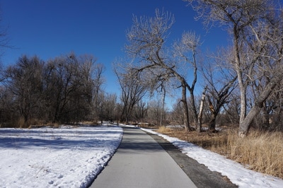
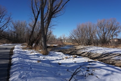
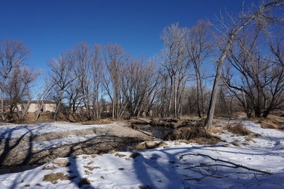
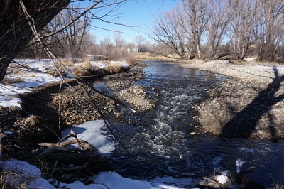
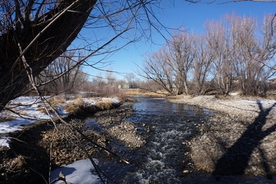
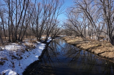
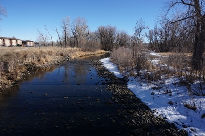
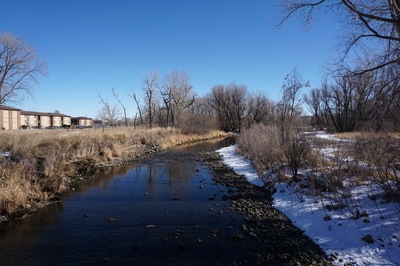
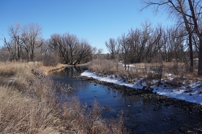
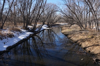
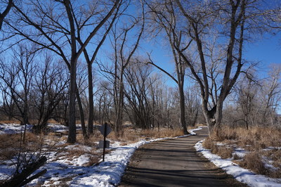
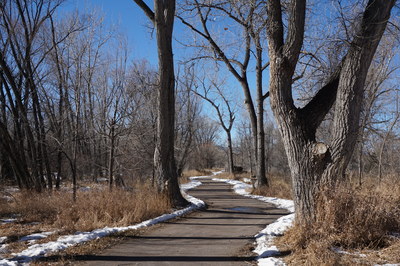
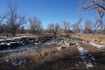
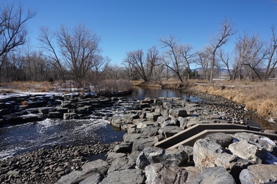
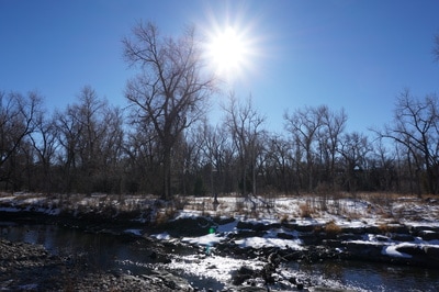
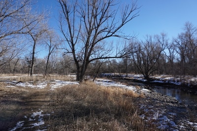
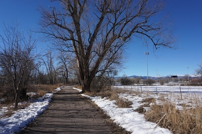
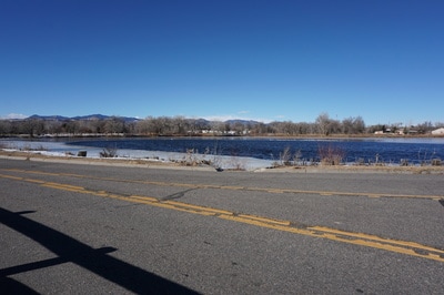
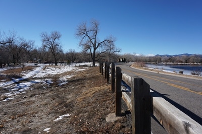
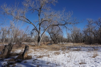
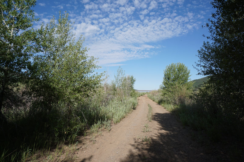
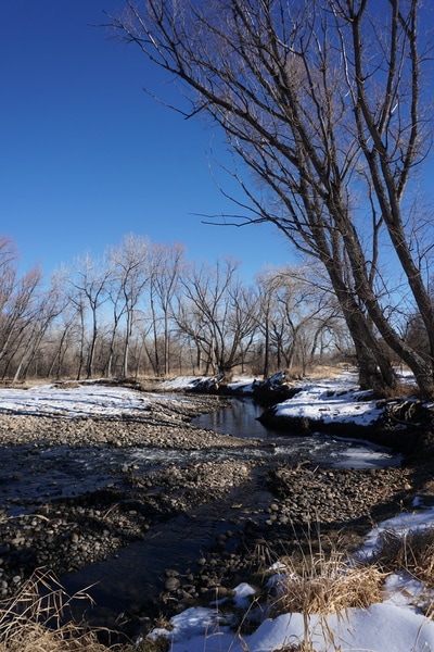
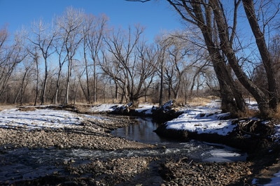
The Clear Creek Trail from Kipling to Prospect Park is one of the more scenic segments of the Trail. The trail consists of paved trail on the north side of Clear Creek and a mix of paved and natural surface trail on the south side. The two trails can be combined for a nice 2 mile loop.
There is not much needed in the way of description for this segment, I suggest starting on the northern trail by staying to the right at the 1st trail fork. Follow the paved trail through forests and open meadows with Prairie Dog villages. There are plenty of places with side trails leading down to Clear Creek along the way. When you reach Prospect Park, turn left over the footbridge and head back along the southern trail. The southern Trail is a mix of paved trail and natural surface given certain sections more of a nature walk feel. When the pavement starts again and the trail forks, stay to the left and then turn right when you reach the start of the loop. Follow the paved trail back to the Kipling Trailhead. |
- HOME
- ABOUT
-
HIKES BY REGION
-
NATIONAL PARK HIKES
- BENT'S OLD FORT NATIONAL HISTORIC SITE
- BLACK CANYON OF THE GUNNISON NATIONAL PARK
- COLORADO NATIONAL MONUMENT
- CURECANTI NATIONAL RECREATION AREA
- DINOSAUR NATIONAL MONUMENT
- FLORISSANT FOSSIL BEDS NATIONAL MONUMENT
- MESA VERDE NATIONAL PARK
- ROCKY MOUNTAIN NATIONAL PARK
- GREAT SAND DUNES NATIONAL PARK
- HOVENWEEP NATIONAL MONUMENT
- SAND CREEK MASSACRE NATIONAL HISTORIC SITE
- YUCCA HOUSE NATIONAL MONUMENT
- HIKES BY CATEGORY
- NEWS
- WEBCAMS
- $UPPORT GHC
- INTERACTIVE MAP
Clear Creek Trail (Kipling > Prospect Park)
Wheat Ridge Greenbelt
Date Hiked: December 26, 2016
Distance: 2 mi (RT)
Elevation Gain: Minimal
Elevation: 5,375 ft
Managing Agency: City of Wheat Ridge

