|
Directions: From I-70, exit at Ward Road and head south. Turn left (east) on 44th Ave and turn right into Prospect Park. Drive to the southernmost portion of the park to the large parking lot.
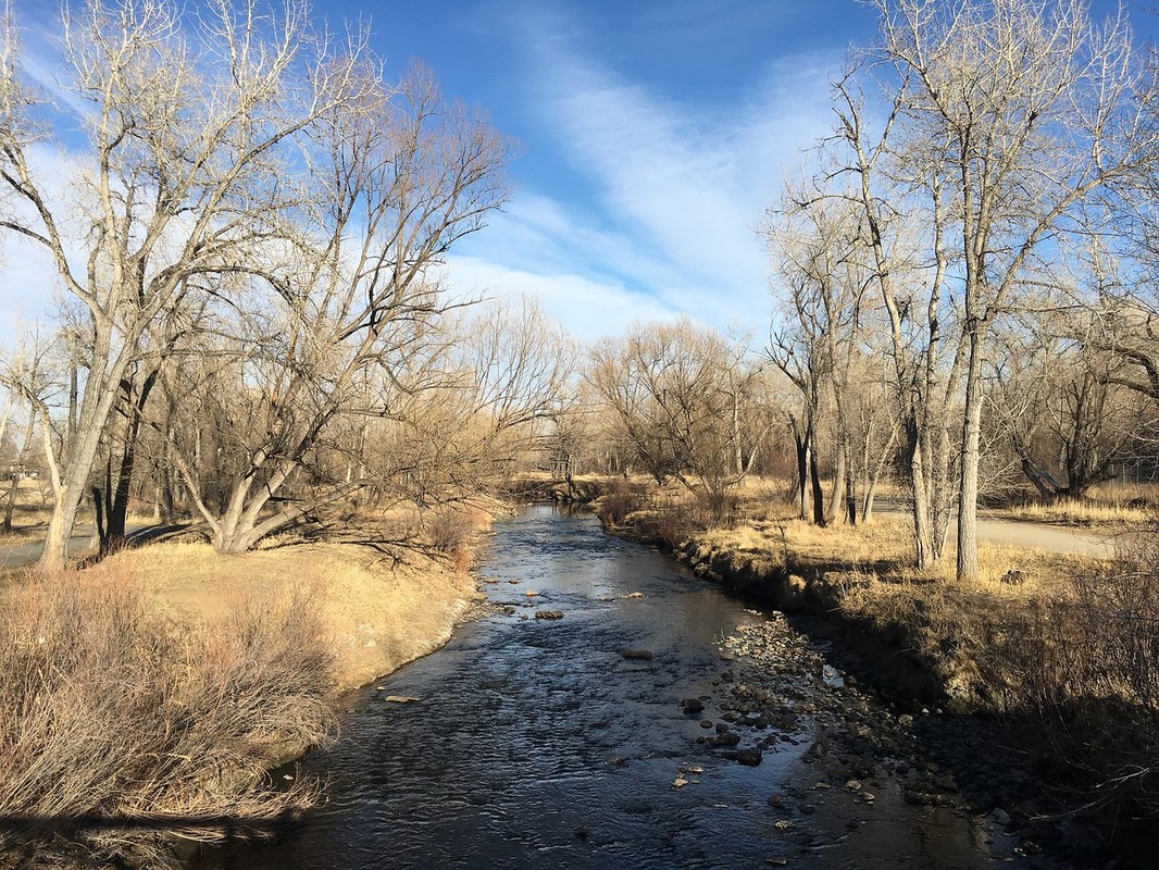
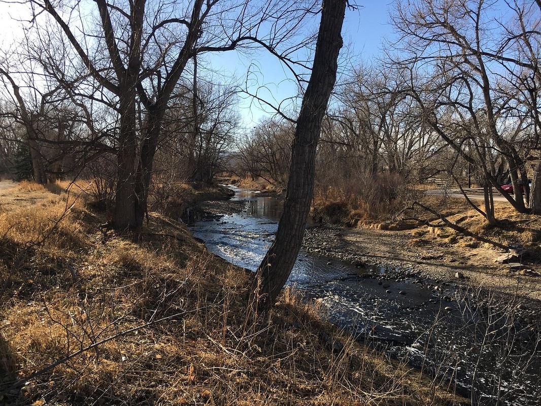
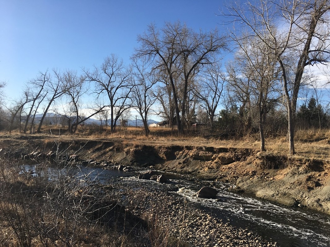
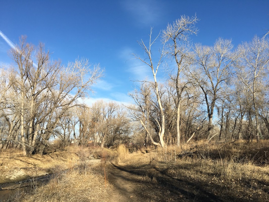
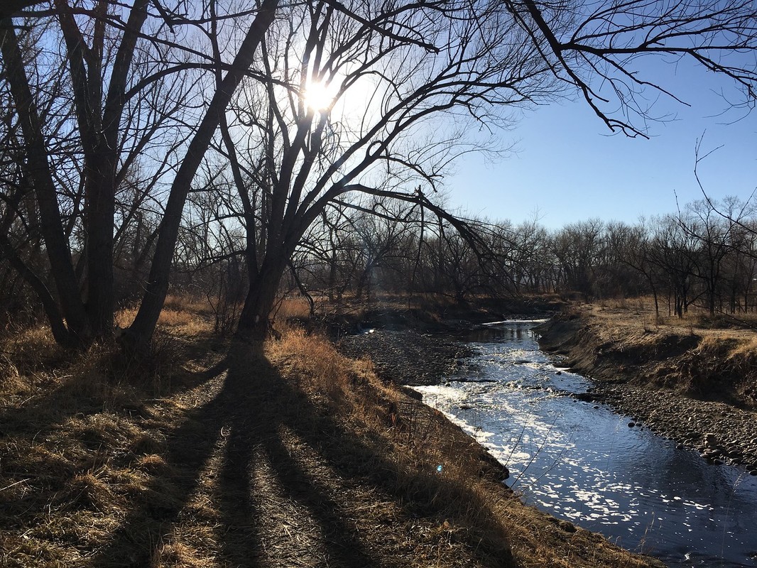
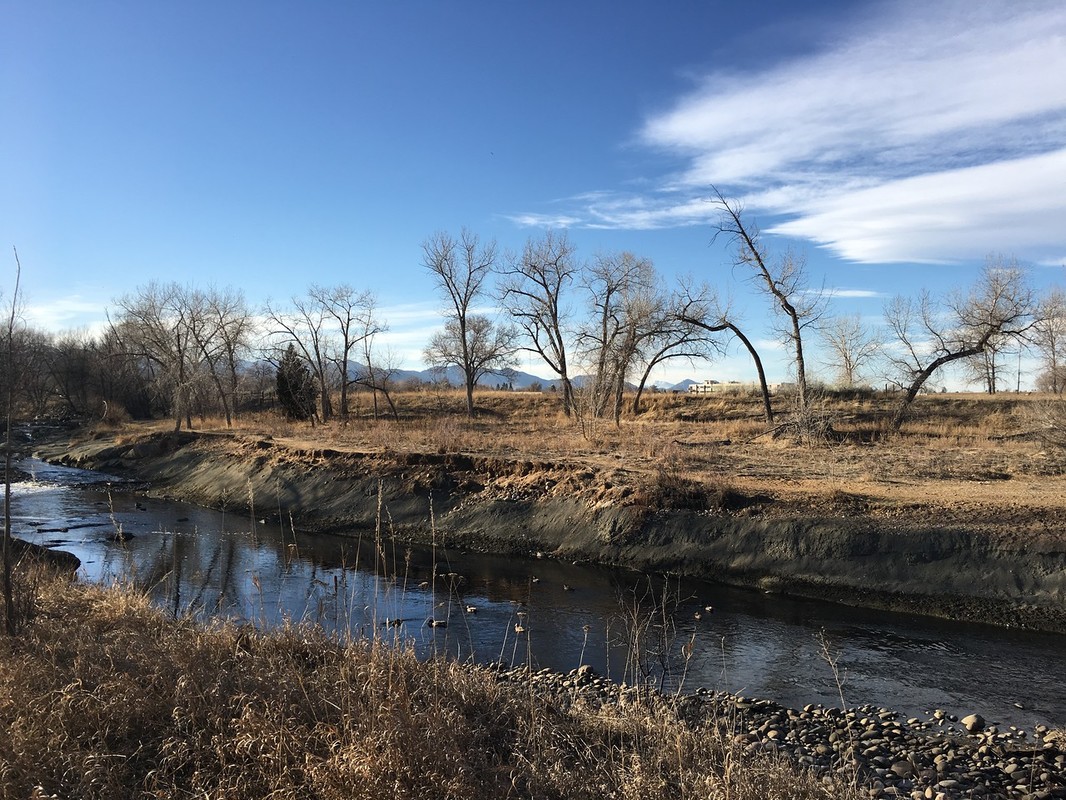
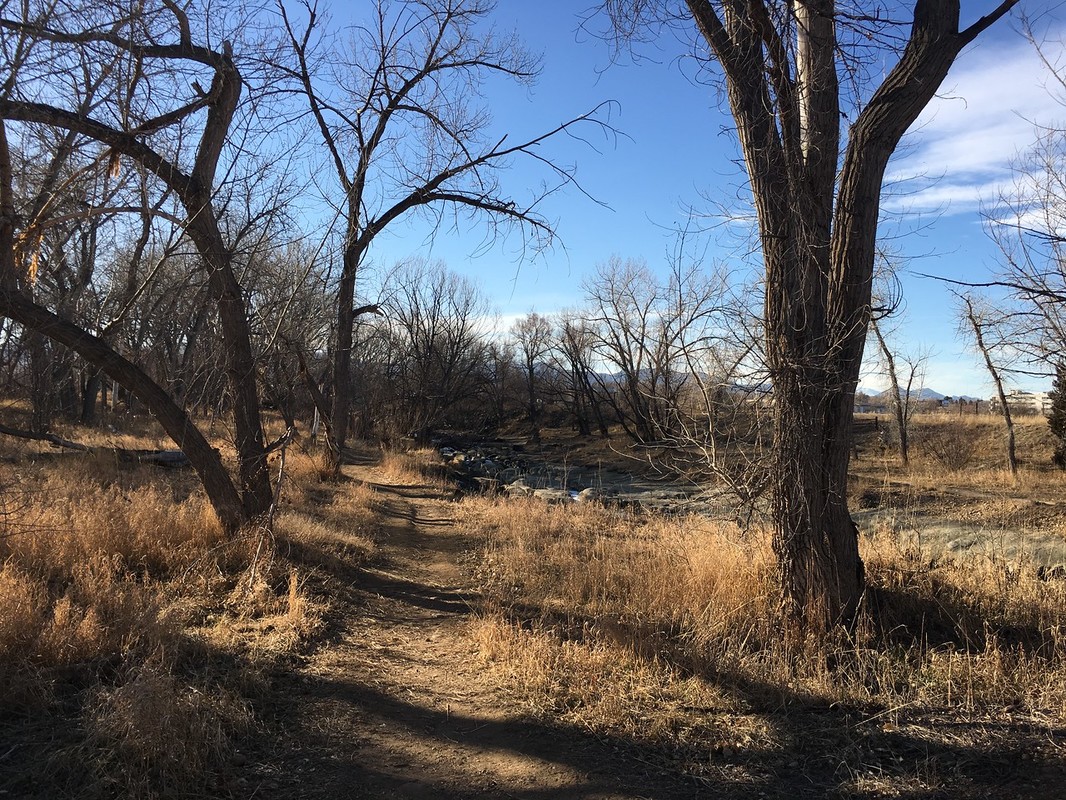
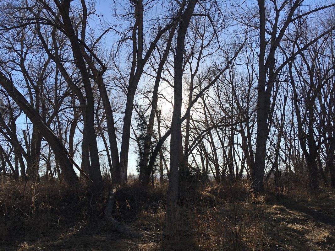
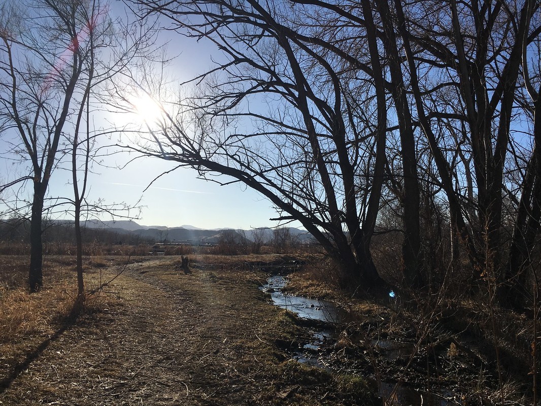
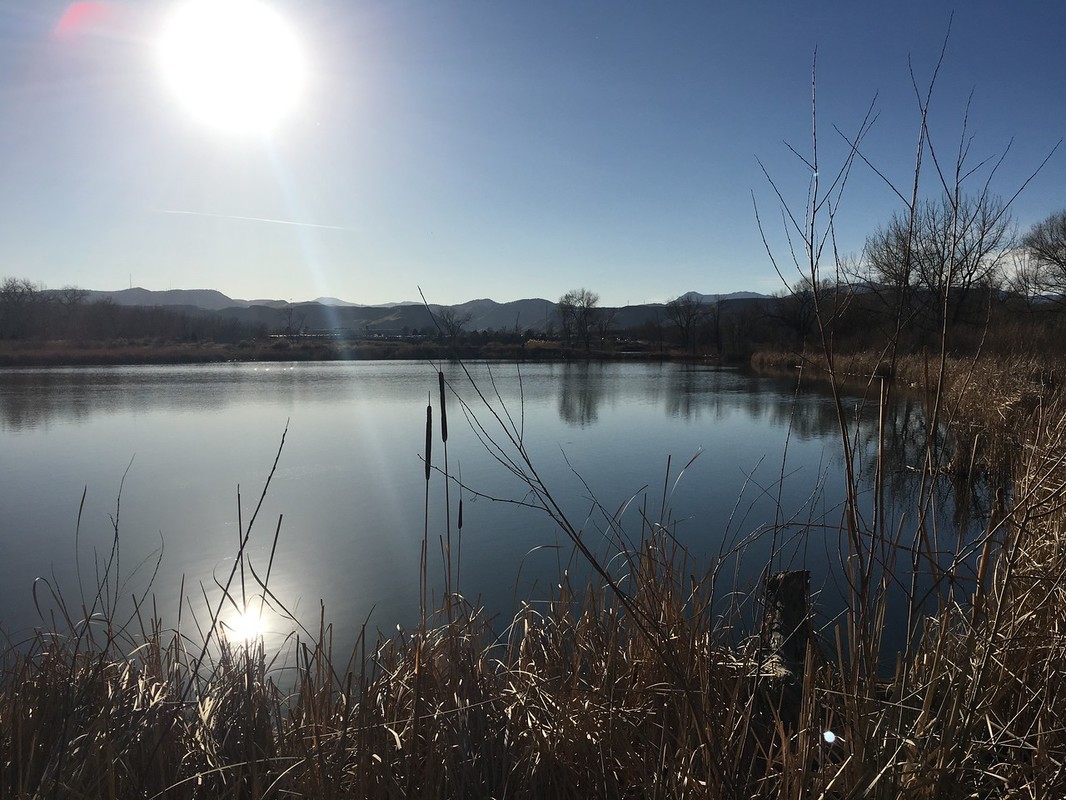
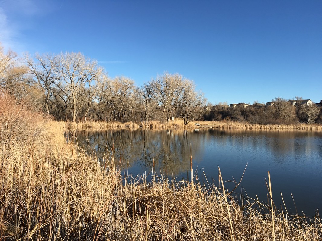
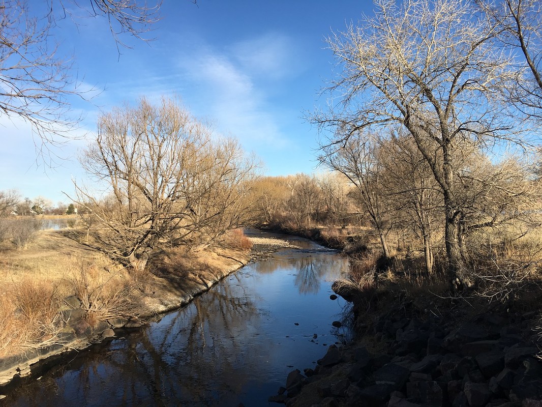
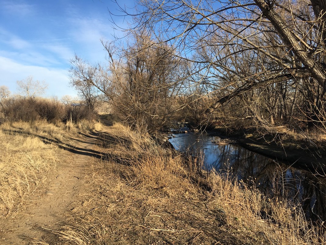
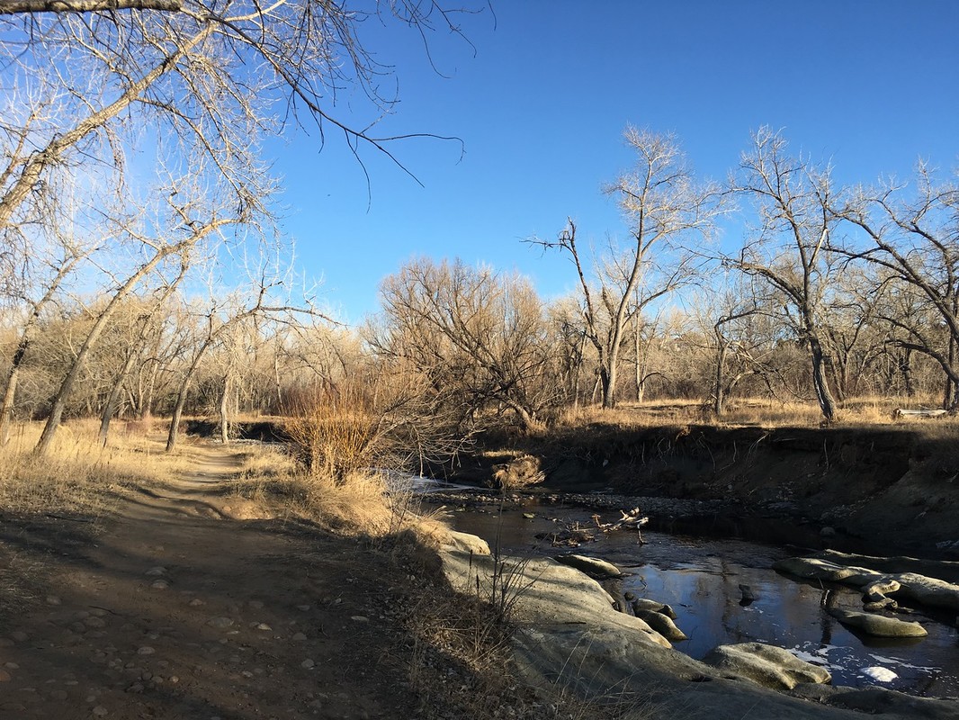
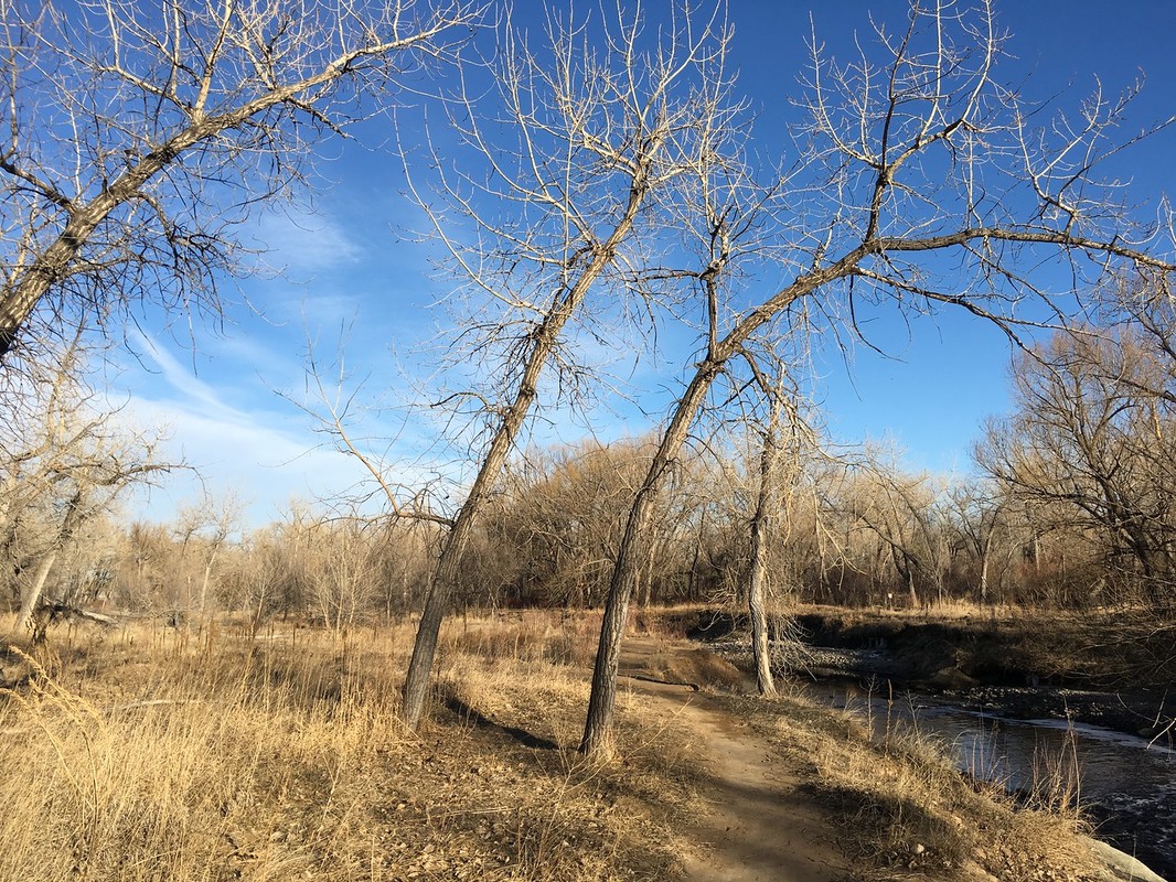
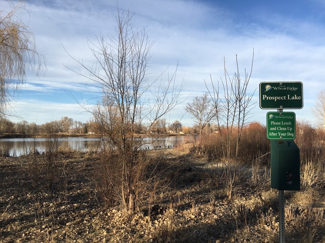
The segment of the Clear Creek Trail from Prospect Park to West Lake is short but especially scenic. The best part of this segment is that there is good single track trail that follows close to Clear Creek for almost the entirety of loop.
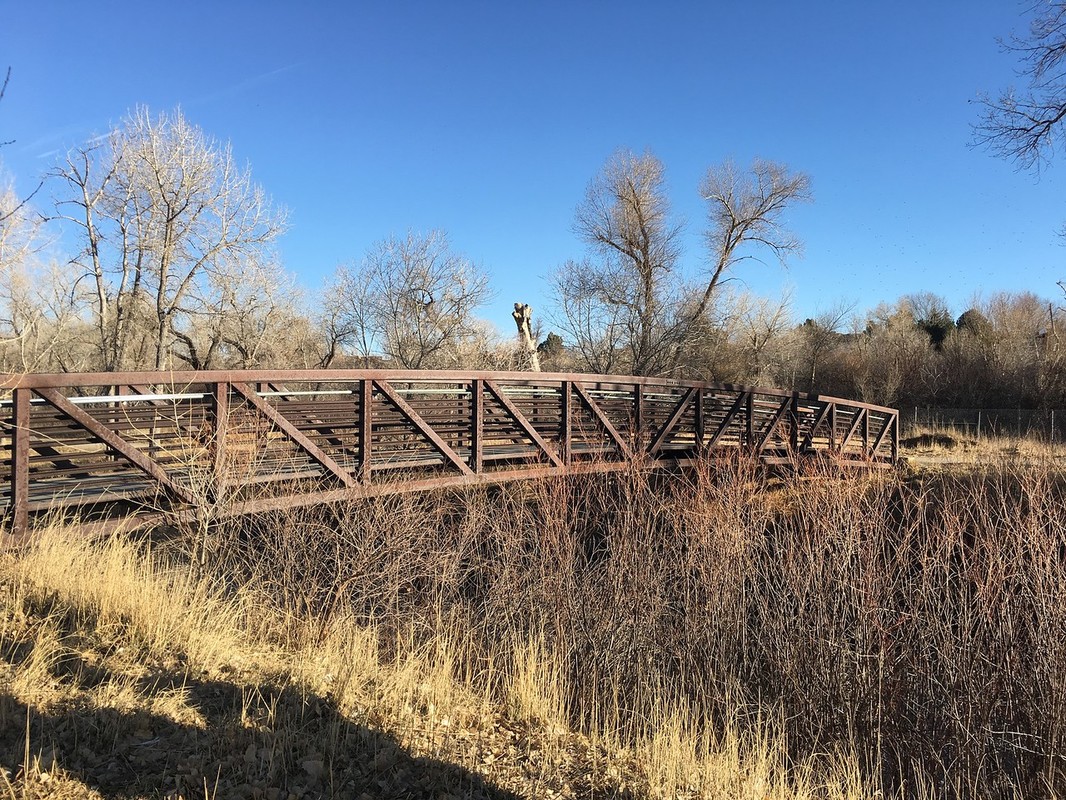
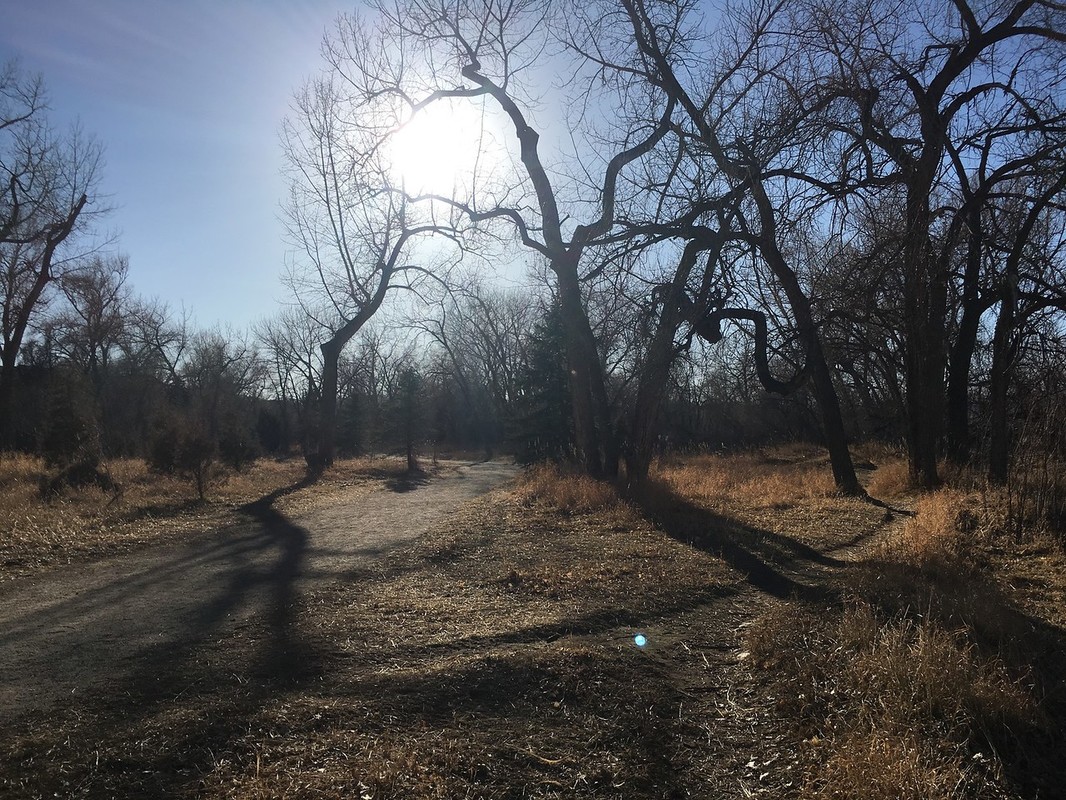
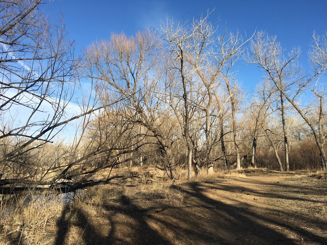
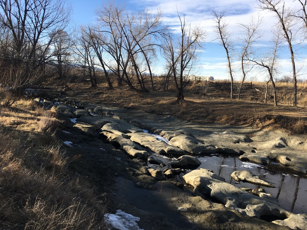
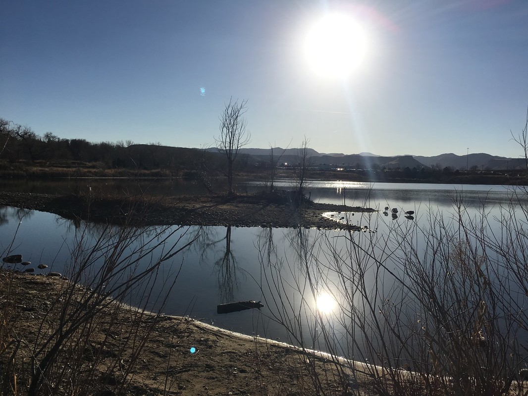
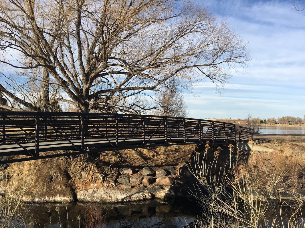
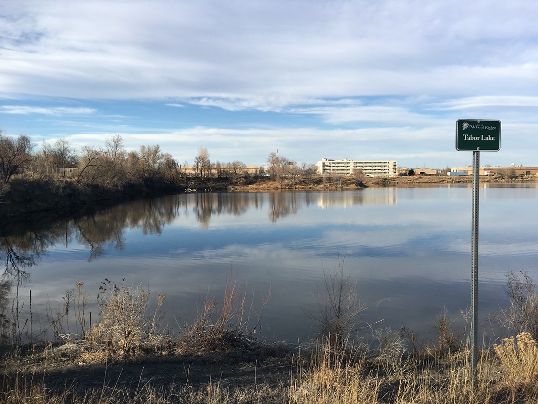
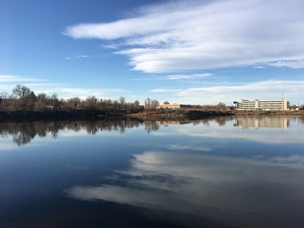
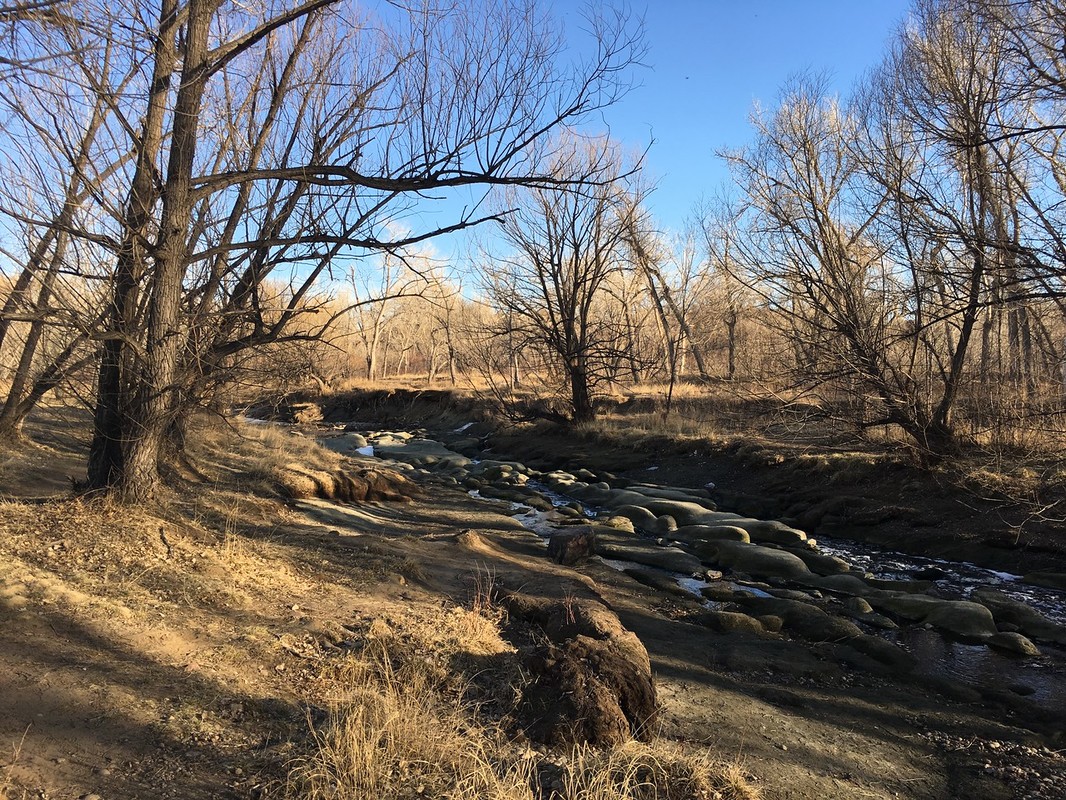
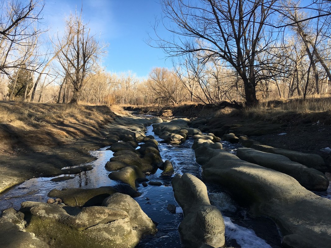
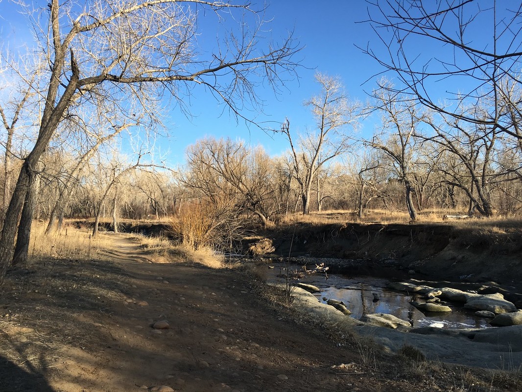
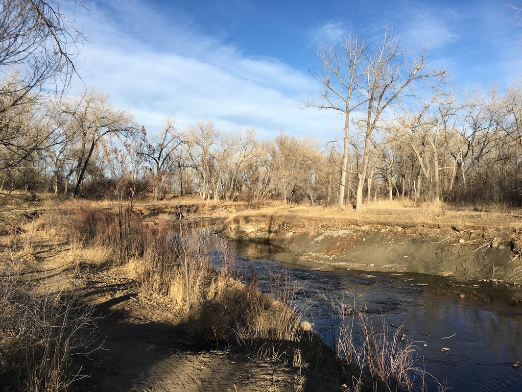
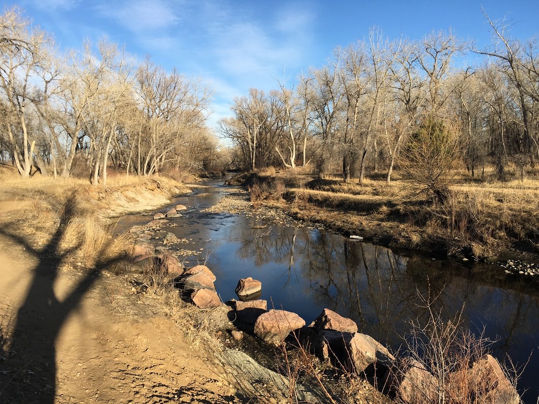
From the Prospect Park parking lot, follow the paved CCT east to the foot bridge and cross Clear Creek to the southern trail. Turn left (west) and almost immediately pick up the narrow single track hiking trail that breaks off from the main trail. The trail will enter the forest and hug the banks of Clear Creek all the way to Bass Lake. At Bass Lake turn right, west, and follow the lake shore to West Lake. For an especially scenic, easy loop, check out the West and Bass Lake Loop. At the eastern end of West Lake, cross over Clear Creek on another footbridge that leads you to Tabor Lake. On the opposite side of the paved CCT you can pick up another single track hiking trail that leads away from the paved trail down to Clear Creek. Depending on the water levels, there are some interesting rock formations lining the creek bed that you can explore in this area. Follow the trail west along the creek until it re-joins the Paved Trail at Prospect Park. |
|
- HOME
- ABOUT
-
HIKES BY REGION
-
NATIONAL PARK HIKES
- BENT'S OLD FORT NATIONAL HISTORIC SITE
- BLACK CANYON OF THE GUNNISON NATIONAL PARK
- COLORADO NATIONAL MONUMENT
- CURECANTI NATIONAL RECREATION AREA
- DINOSAUR NATIONAL MONUMENT
- FLORISSANT FOSSIL BEDS NATIONAL MONUMENT
- MESA VERDE NATIONAL PARK
- ROCKY MOUNTAIN NATIONAL PARK
- GREAT SAND DUNES NATIONAL PARK
- HOVENWEEP NATIONAL MONUMENT
- SAND CREEK MASSACRE NATIONAL HISTORIC SITE
- YUCCA HOUSE NATIONAL MONUMENT
- HIKES BY CATEGORY
- NEWS
- WEBCAMS
- $UPPORT GHC
- INTERACTIVE MAP
Clear Creek Trail
Prospect Park to West Lake,Wheat Ridge Greenbelt
Distance: 1.15 mi (RT)
Elevation Gain: Minimal
Managing Agency: Wheat Ridge Parks and Recreation
Fee: None