|
Directions: The trailhead for this section of the Clear Creek Trail is on Lowell Blvd, south of where I-76 crosses over. There is a large parking area on the east side of Lowell and a smaller parking area for the Lowell Ponds State Wildlife Area on the west side of the street. Park at the SWA and pick up the trail from the parking lot.
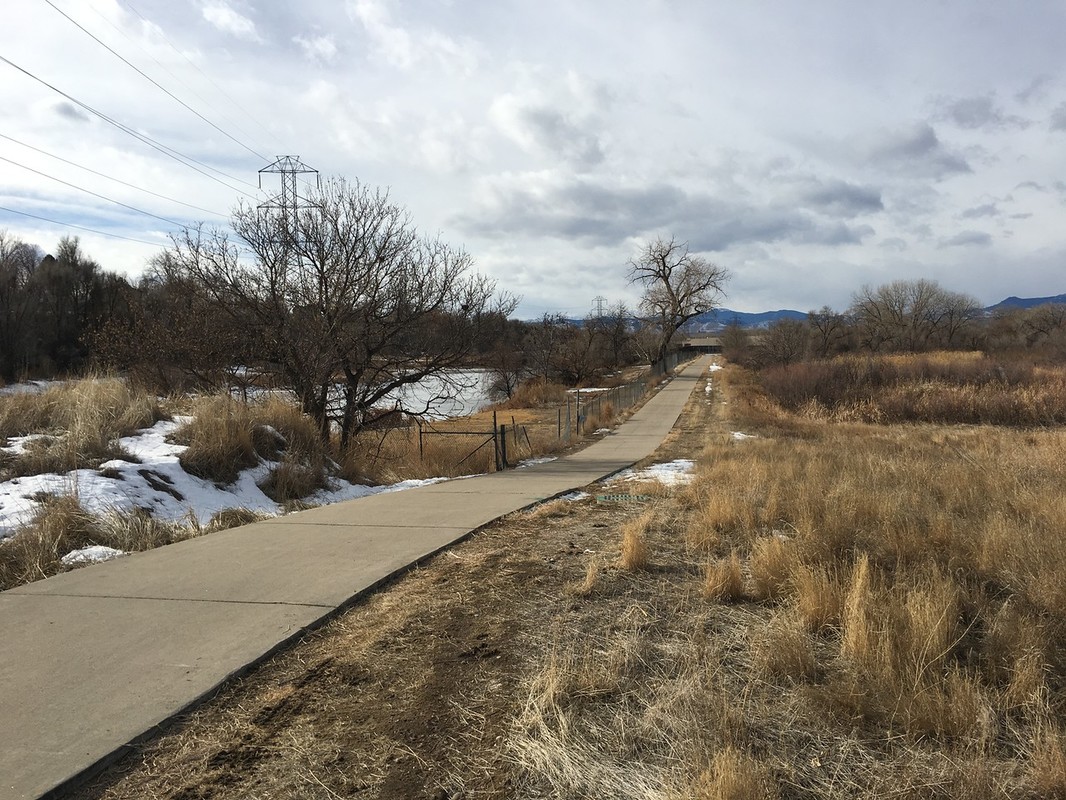
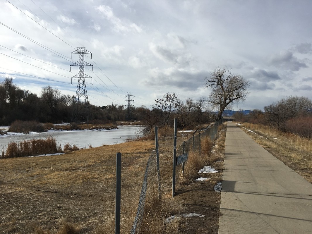
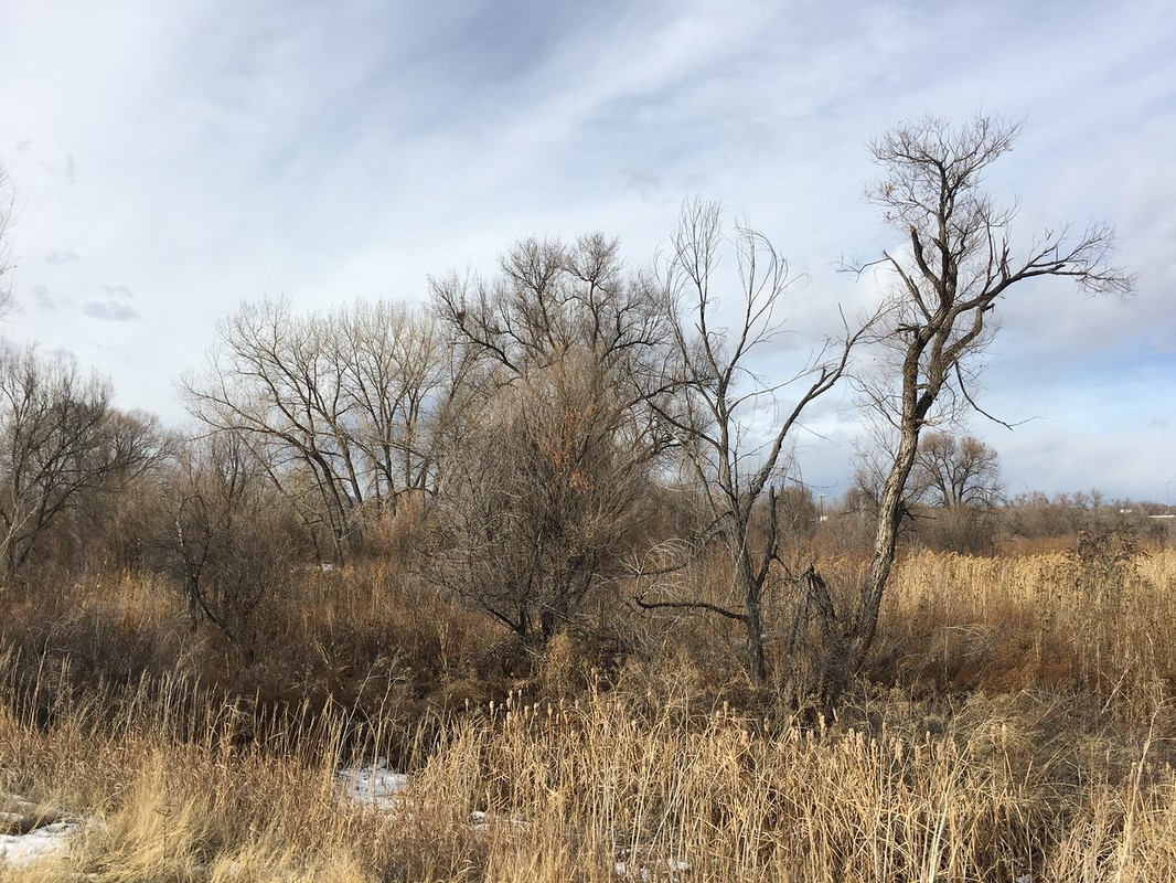
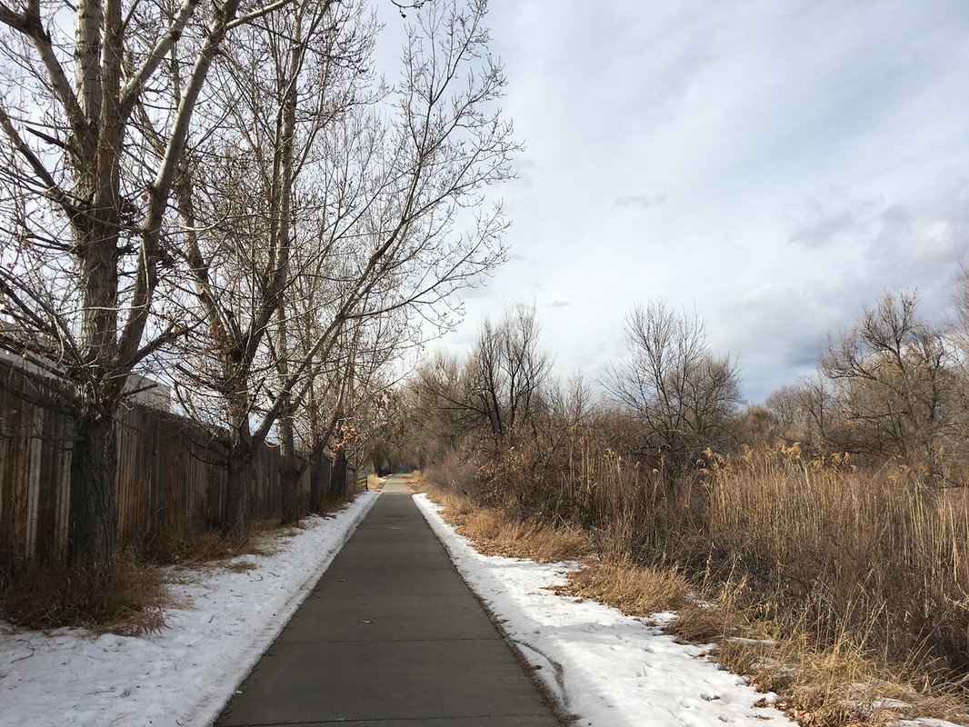
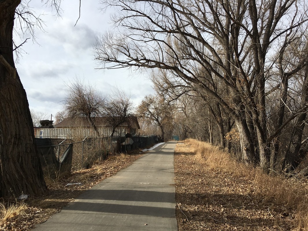
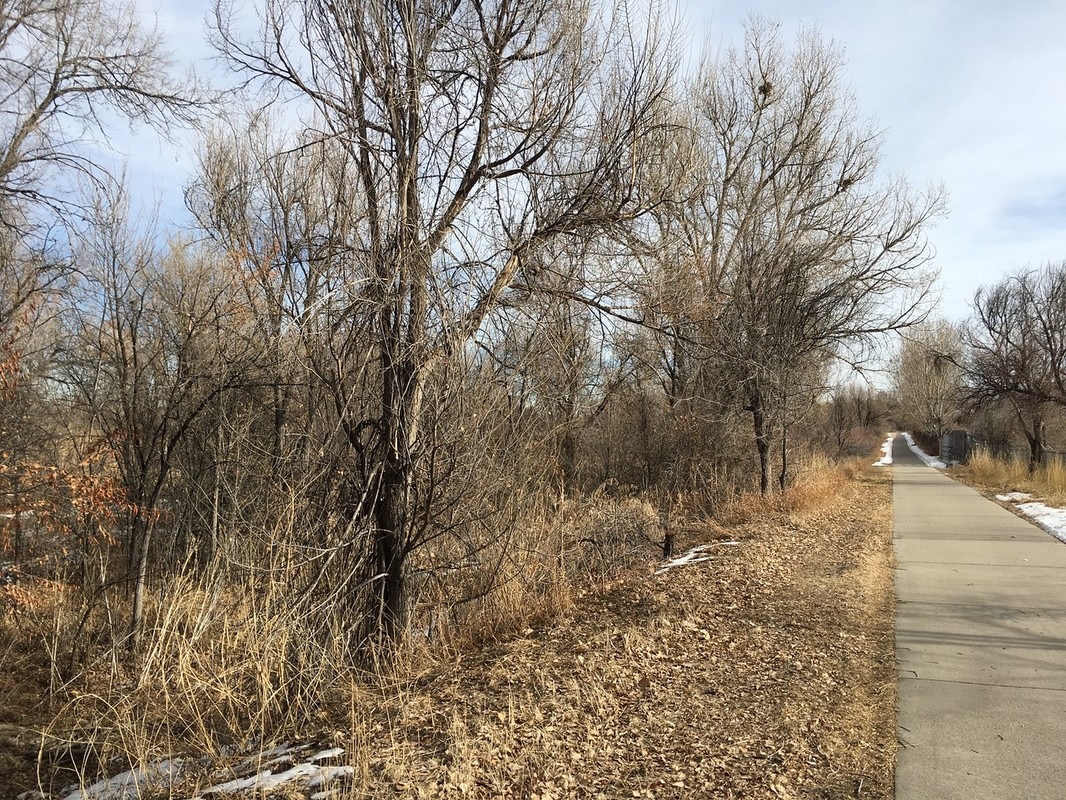
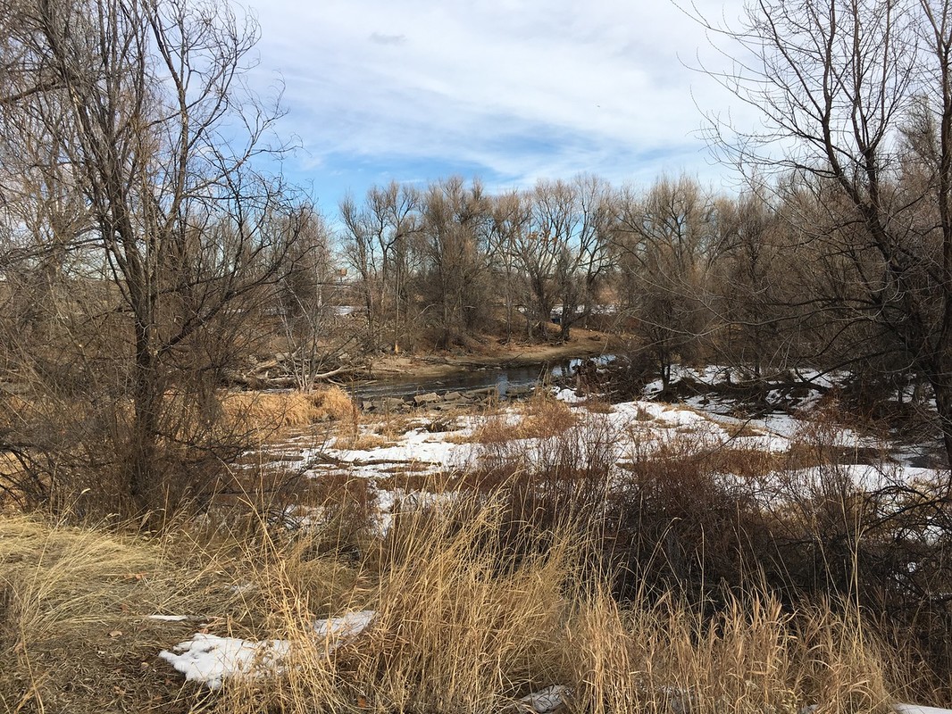
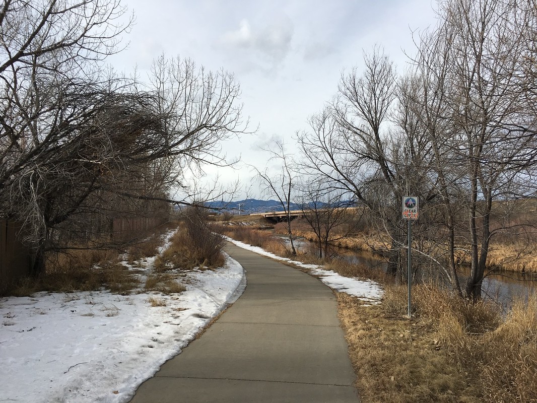
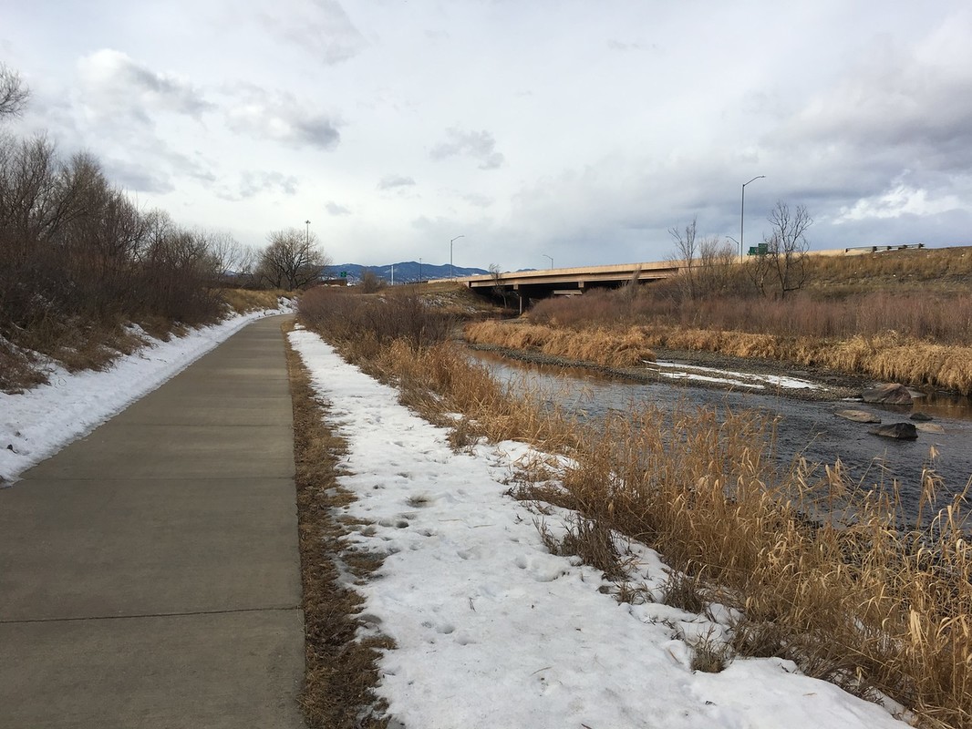
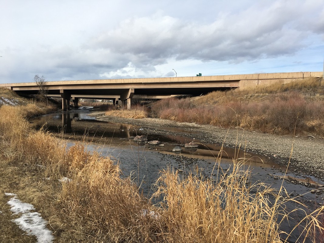
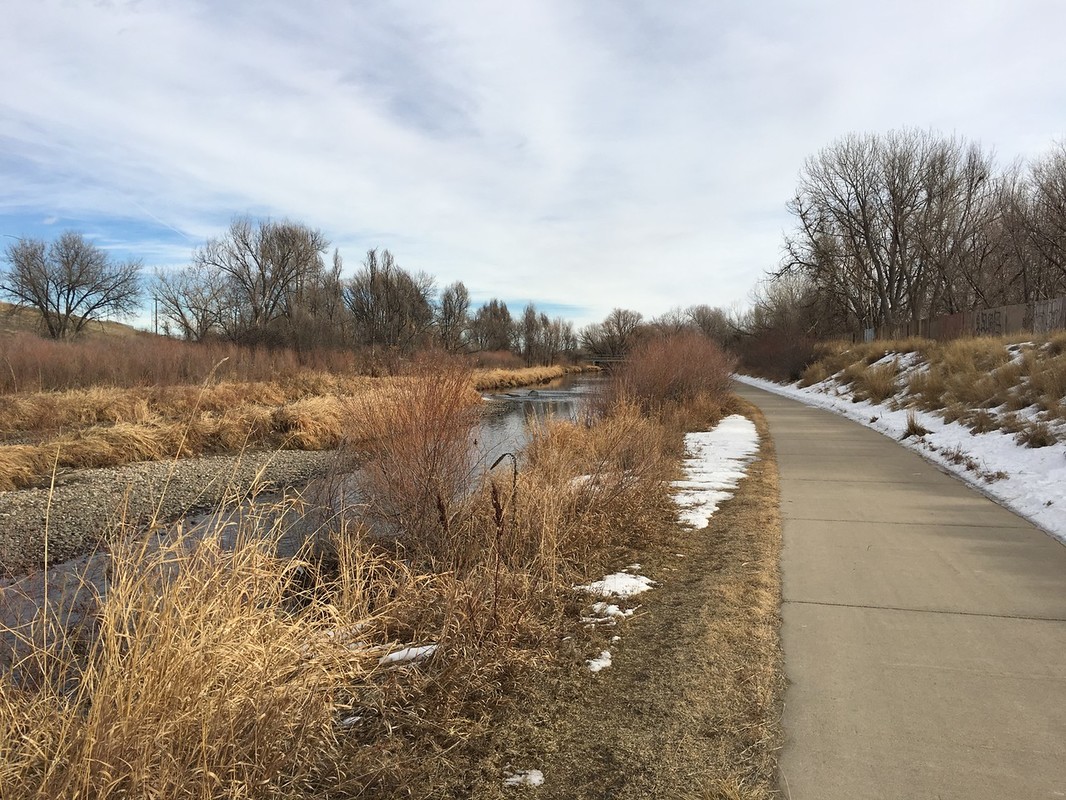
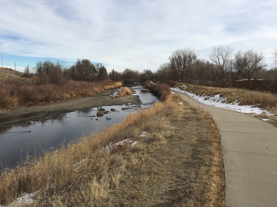
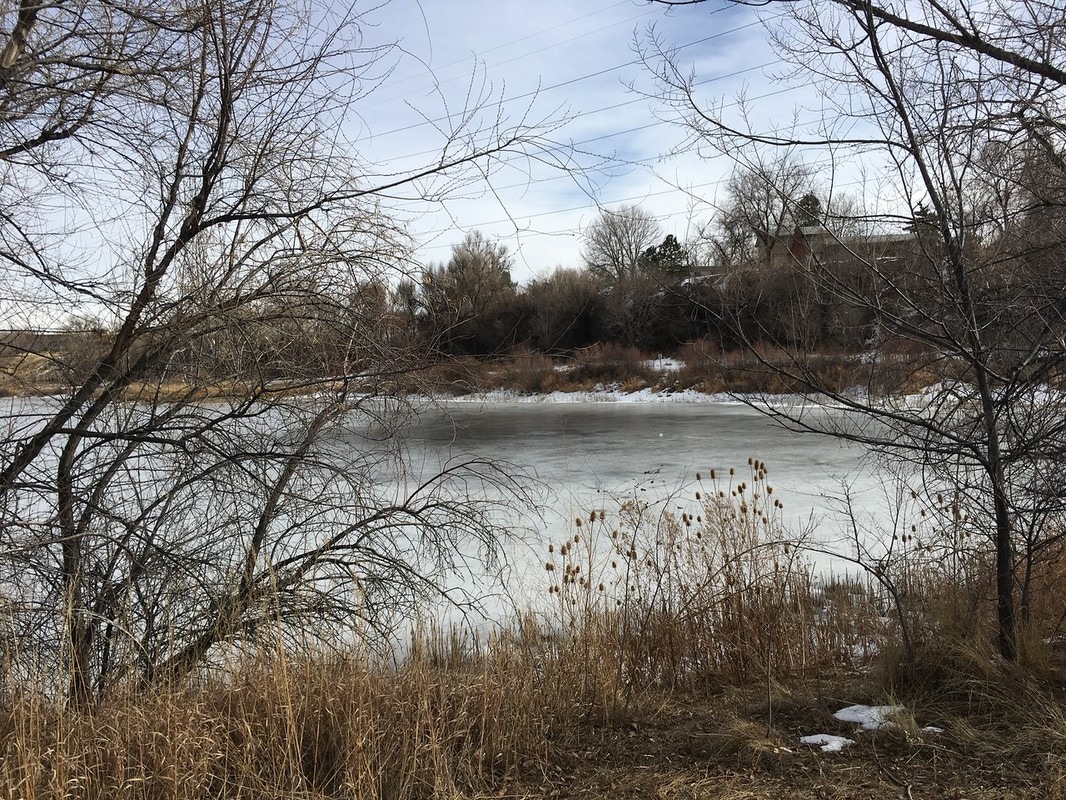
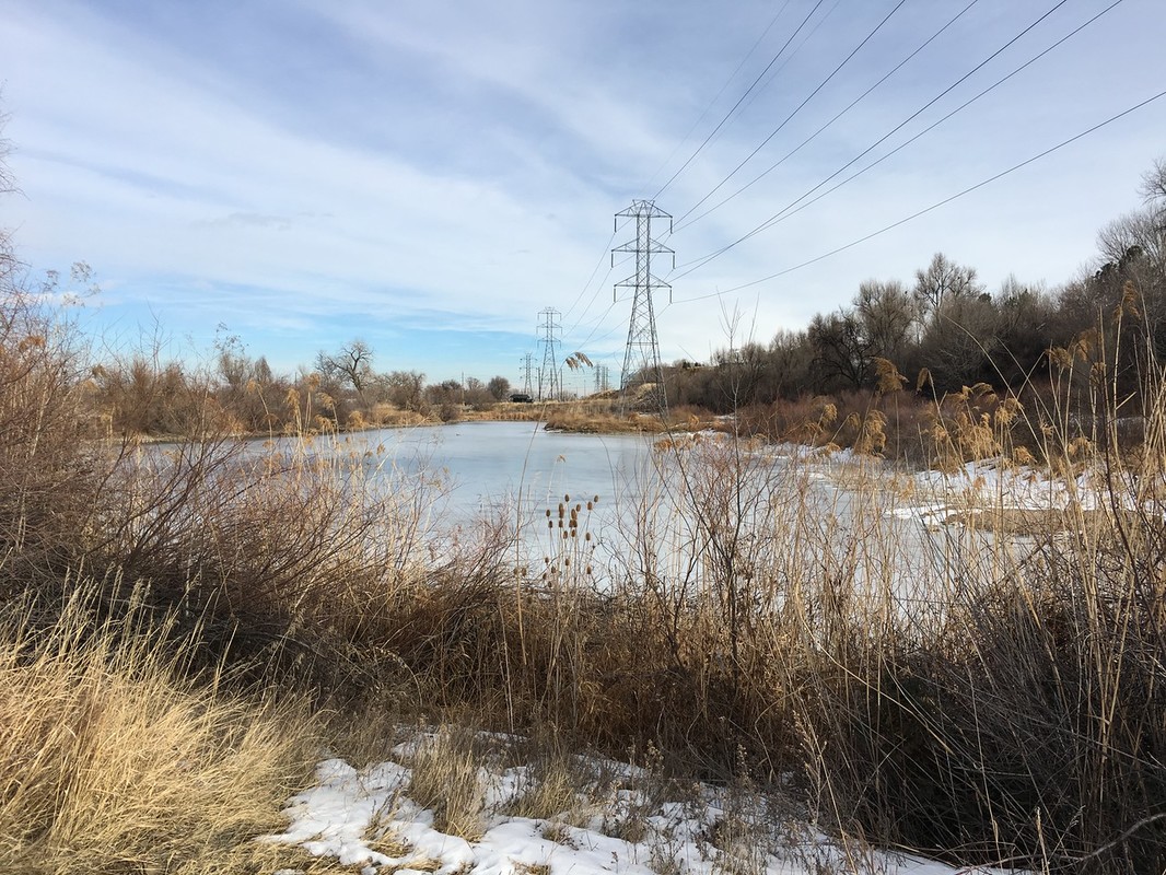
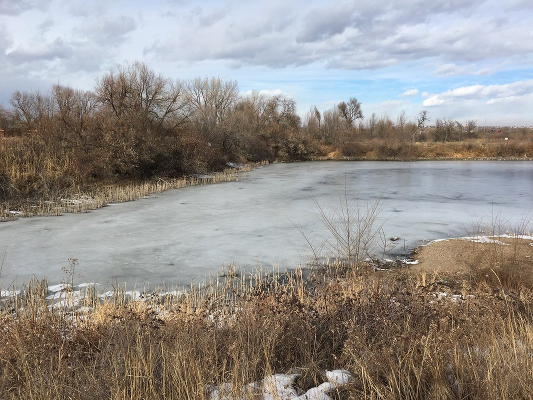
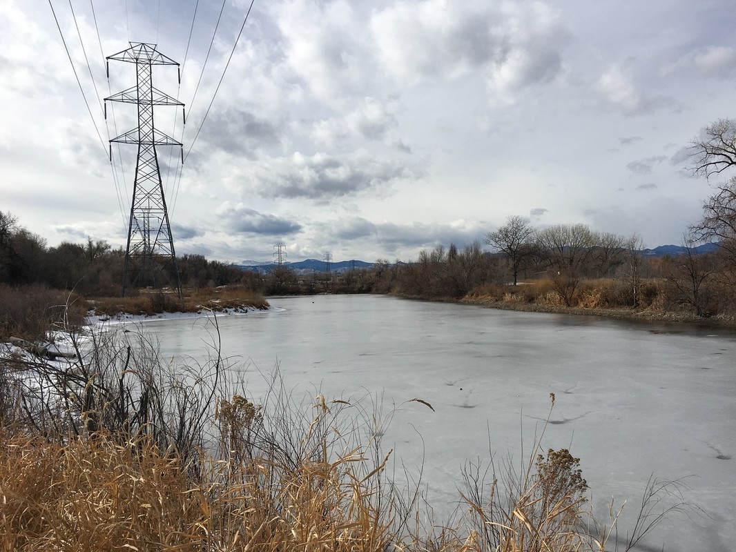
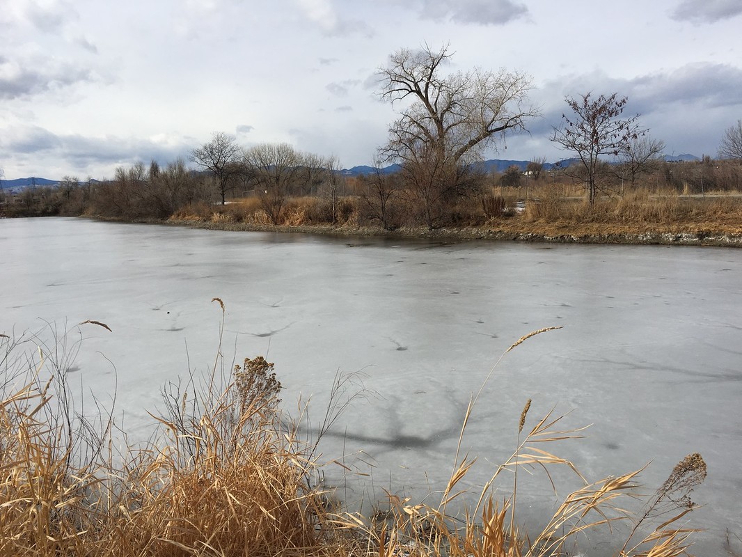
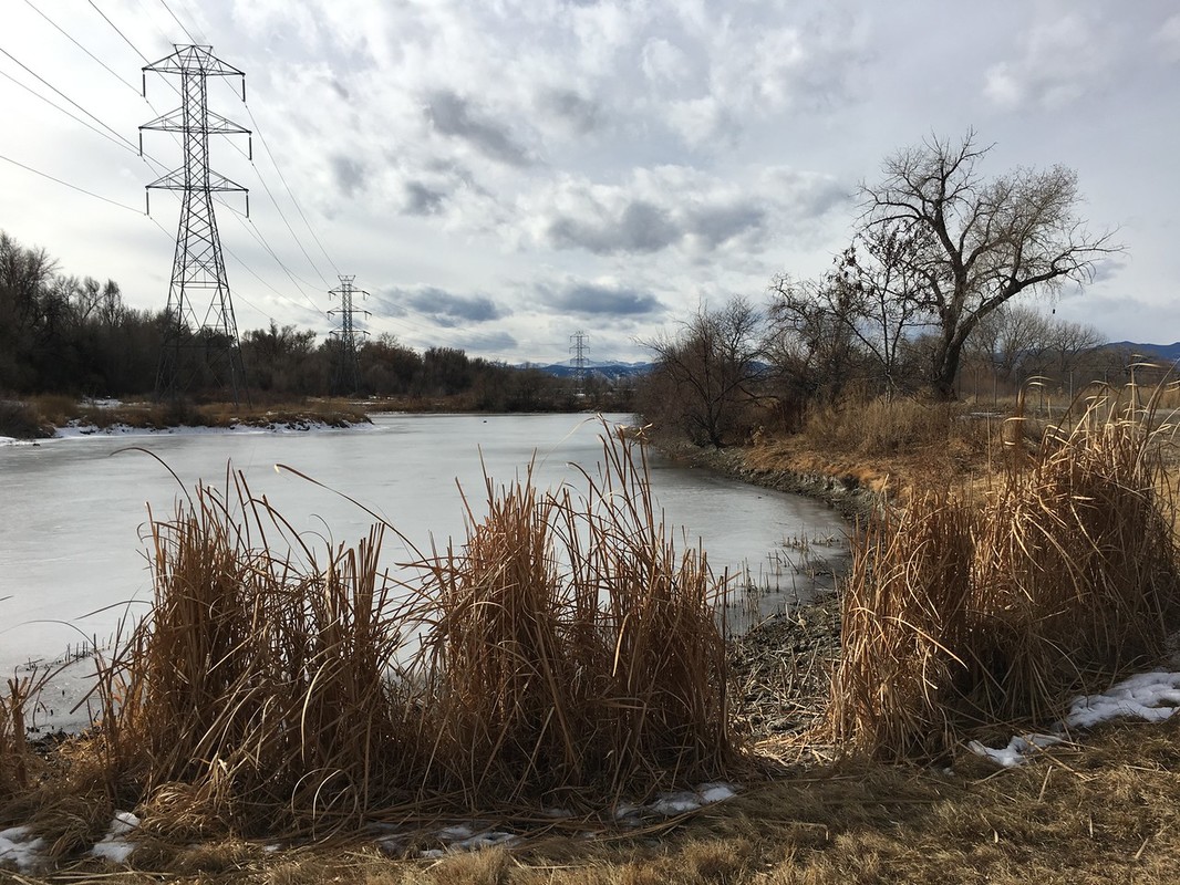
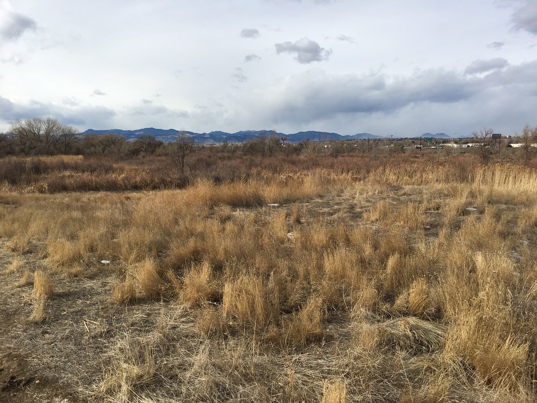
This segment of the Clear Creek Trail starts at the Lowell Ponds State Wildlife Area. The trail does not access the main portion of the SWA but a primitive trail around one of the ponds is an option near the trailhead. After leaving the ponds, heading west, the trail goes through a scenic wooded area before paralleling Clear Creek until it reaches Sheridan Blvd.
|
|
- HOME
- ABOUT
-
HIKES BY REGION
-
NATIONAL PARK HIKES
- BENT'S OLD FORT NATIONAL HISTORIC SITE
- BLACK CANYON OF THE GUNNISON NATIONAL PARK
- COLORADO NATIONAL MONUMENT
- CURECANTI NATIONAL RECREATION AREA
- DINOSAUR NATIONAL MONUMENT
- FLORISSANT FOSSIL BEDS NATIONAL MONUMENT
- MESA VERDE NATIONAL PARK
- ROCKY MOUNTAIN NATIONAL PARK
- GREAT SAND DUNES NATIONAL PARK
- HOVENWEEP NATIONAL MONUMENT
- SAND CREEK MASSACRE NATIONAL HISTORIC SITE
- YUCCA HOUSE NATIONAL MONUMENT
- HIKES BY CATEGORY
- NEWS
- WEBCAMS
- $UPPORT GHC
- INTERACTIVE MAP
Clear Creek Trail
Lowell Ponds SWA to Sheridan Blvd.
Date Hiked: January 2, 2017
Distance: 2 mi (RT)
Elevation Gain: Minimal
Elevation: 5,225 ft
Managing Agency: Adams County Parks & Trails
Fee: None