GO HIKE COLORADO
Get in Touch:
  • HOME
  • ABOUT
  • HIKES BY REGION
    • DENVER AREA >
      • Denver Mountain Parks
      • Jefferson County Open Space
      • Lakewood Parks
      • Denver Area Greenways
    • BOULDER AREA
    • DOUGLAS COUNTY
    • FORT COLLINS AREA
    • COLORADO SPRINGS AREA
    • FRONT RANGE
    • TENMILE & MOSQUITO RANGES
    • GORE RANGE
    • SANGRE DE CRISTO MOUNTAINS
    • PARK RANGE
    • SAWATCH RANGE
    • ELK MOUNTAINS
    • SAN JUAN MOUNTAINS
    • THE FLAT TOPS
    • GRAND MESA
    • COLORADO PLATEAU
    • EASTERN PLAINS
  • NATIONAL PARK HIKES
    • BENT'S OLD FORT NATIONAL HISTORIC SITE
    • BLACK CANYON OF THE GUNNISON NATIONAL PARK
    • COLORADO NATIONAL MONUMENT
    • CURECANTI NATIONAL RECREATION AREA
    • DINOSAUR NATIONAL MONUMENT
    • FLORISSANT FOSSIL BEDS NATIONAL MONUMENT
    • MESA VERDE NATIONAL PARK
    • ROCKY MOUNTAIN NATIONAL PARK
    • GREAT SAND DUNES NATIONAL PARK
    • HOVENWEEP NATIONAL MONUMENT
    • SAND CREEK MASSACRE NATIONAL HISTORIC SITE
    • YUCCA HOUSE NATIONAL MONUMENT
  • HIKES BY CATEGORY
    • HIKES TO ALPINE LAKES
    • HIKES TO PEAKS & PASSES
    • HIKES THROUGH CANYONS
    • HIKES WITH FALL COLORS
    • HIKES ALONG THE I-70 CORRIDOR
    • HIKES ON PAVED TRAILS
    • HIKES FOR KIDS
    • HIKES TO WATERFALLS
    • HIKES ALONG RIVERS
    • HIKES WITH ROCK FORMATIONS
    • HIKES WITH WILDFLOWERS
    • WINTER HIKES
  • NEWS
  • WEBCAMS
  • $UPPORT GHC
  • INTERACTIVE MAP

BEAR CREEK TRAIL
​& STONE HOUSE TRAIL

Total Distance: 8 mi 

Trail Surface Type:

Bear Creek Trail = Paved
Stone House Trail = Natural Surface

​Managing Agency:

Denver Parks & Recreation / Lakewood Parks

Bear Creek Trail Map
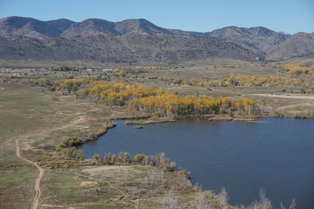
The Bear Creek Trail is a paved multi-use trail that runs from the South Platte River west to Bear Creek Lake Regional Park.  The trail passes through Denver and Lakewood as it winds its way through Cottonwood filled parks, including the Bear Creek Greenbelt. This trail is not to be confused with the Bear Creek Trail that connects Little Park to Pence Park in the foothills west of Morrison that is managed by Denver Mountain Parks and Jefferson County Open Space. 

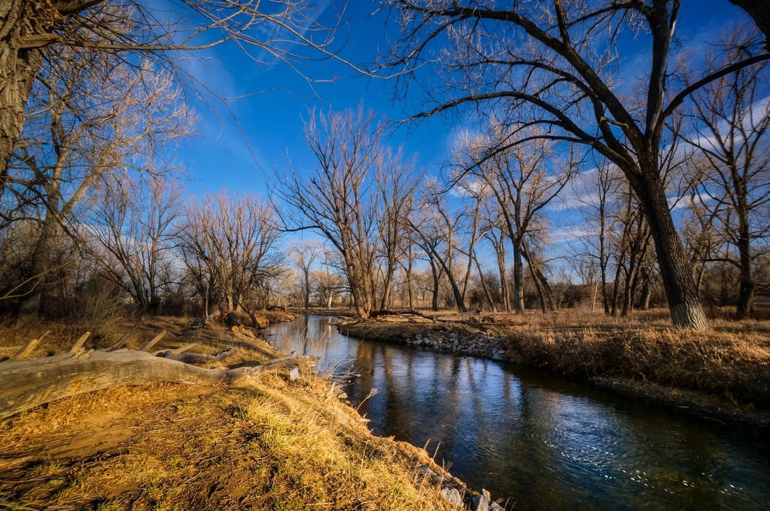
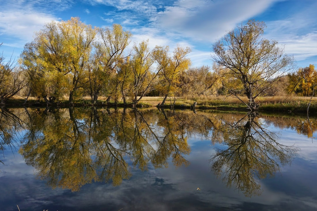
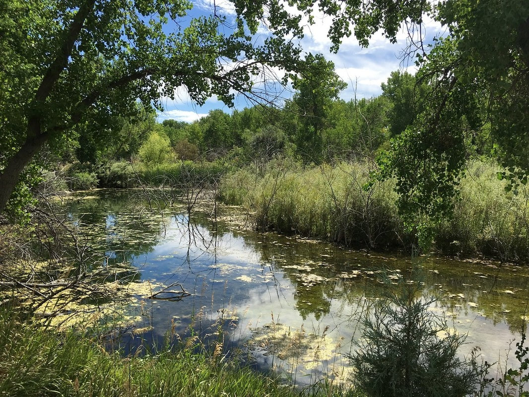
The Stone House Trail is a single track natural surface trail perfect for hiking.  The trail runs parallel to the Bear Creek Trail from the Bear Creek Greenbelt (Wadsworth Blvd) to the base of the Bear Creek Lake Dam at Bear Creek Lake Regional Park.


From East to West:

Picture
River Point (Start of BCT) to Federal Blvd
2 mi (RT)
Picture
Bear Creek Park
1.2 mi (RT)
Picture
 Sheridan Blvd. to Lamar Street
​Bear Valley Park

1.8 mi R(T)
Picture
Lamar Street to Wadsworth Blvd.
Bear Valley Park

2 mi (RT)
Picture
Wadsworth Blvd. to Estes Street
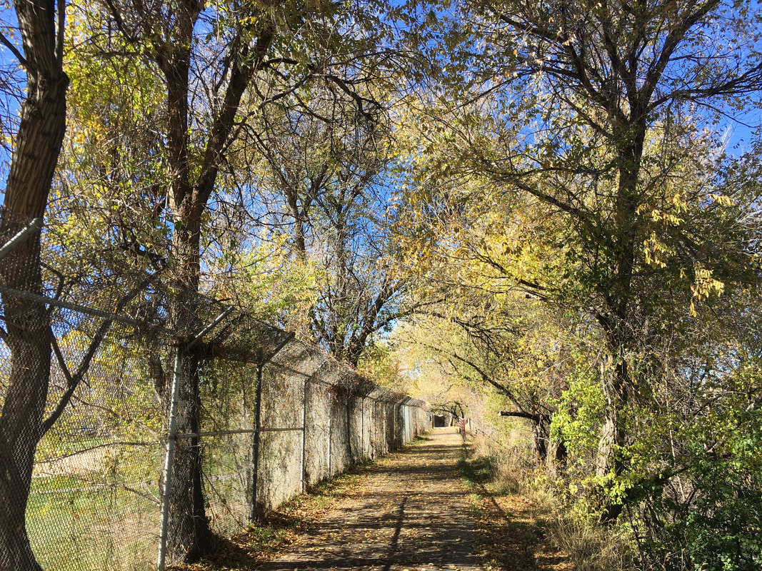
Bear Creek Greenbelt/Stone House Trail

2.3 mi (RT)
Picture
Estes Street to Kipling Street
Bear Creek Greenbelt/Stone House Trail

2 mi (RT)
Picture
Estes Street to Mount Carbon Summit
Stone House Trail / Mount Carbon Loop

7 mi (RT); 490 ft elevation gain
© Go Hike Colorado, 2020.  All Rights Reserved. 
Use of photographs without prior authorization is
​strictly prohibited.


Contact us at:
[email protected]
Legal Disclaimer - Information provided on this site is based upon our own observations, always double check information with the appropriate land management agency before heading into the backcountry.  Backcountry travel is inherently dangerous, please take all proper precautions.  Go Hike Colorado is not responsible for injury or incident.