|
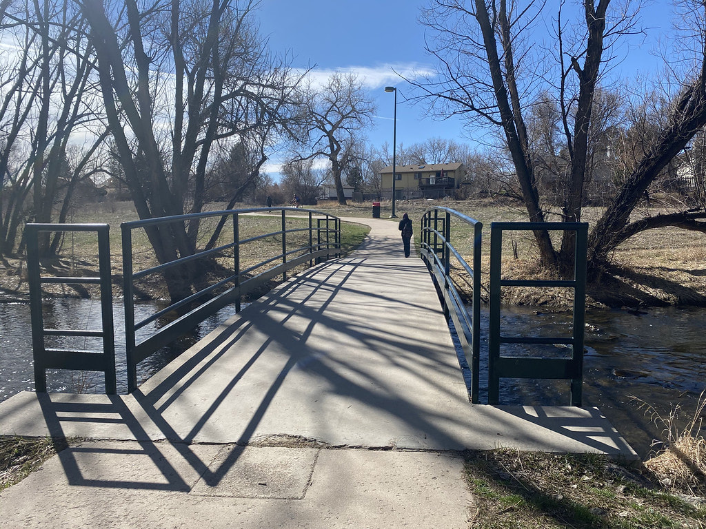
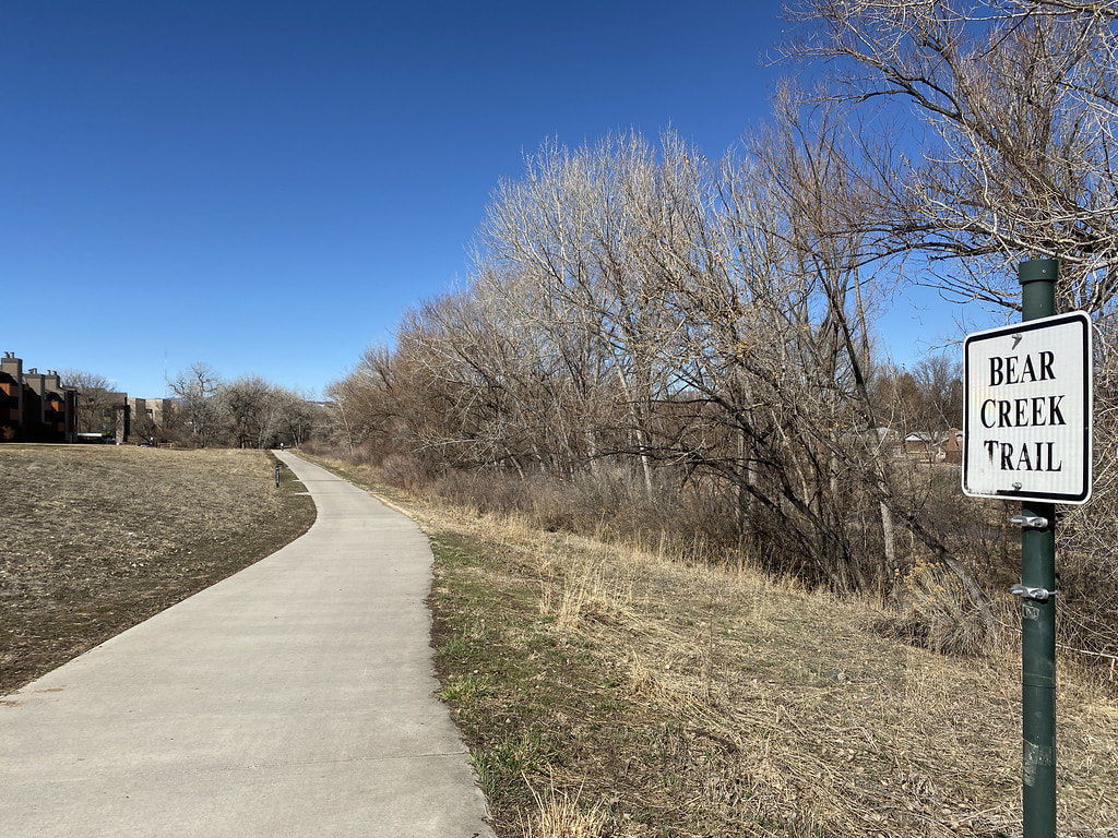
DIRECTIONS: This segment of the Bear Creek Trail starts at the intersection of Dartmouth Ave and Lamar Street. From Highway 285/Hampden Blvd, head north on Sheridan Blvd and turn left on Dartmouth Ave. Follow it to Lamar Street and look for the small parking lot along the creek.
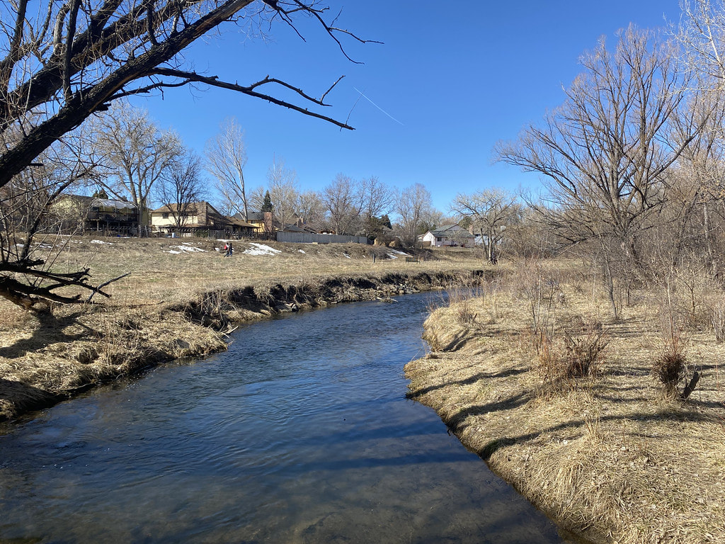
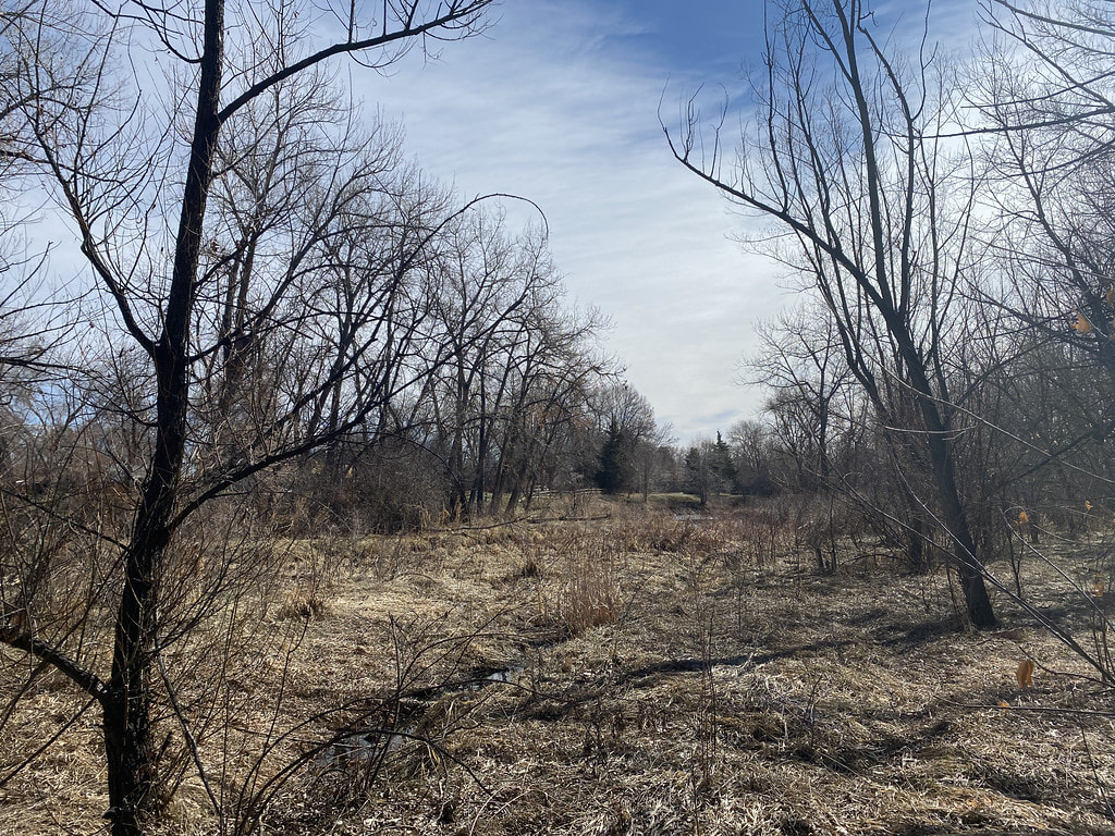
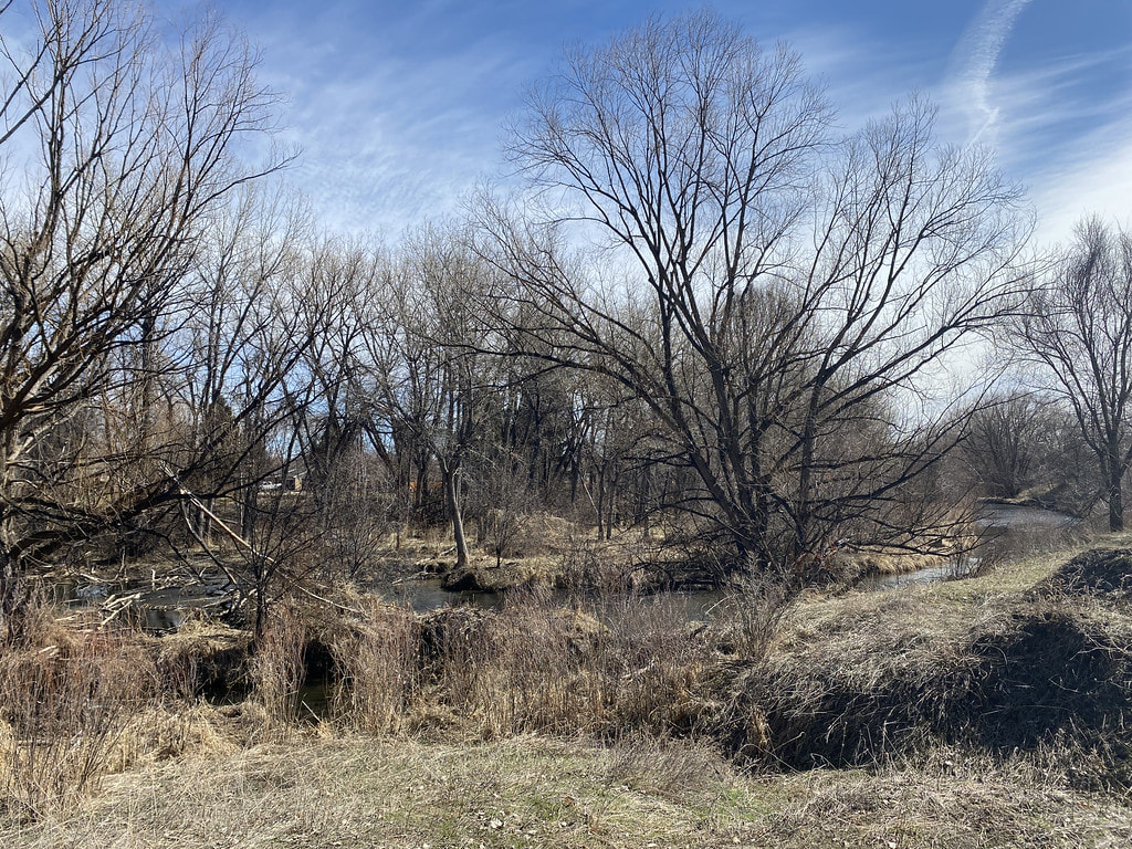
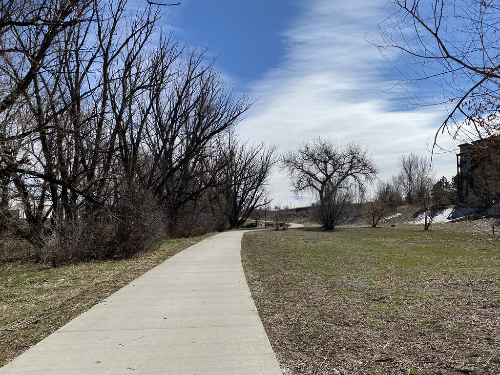
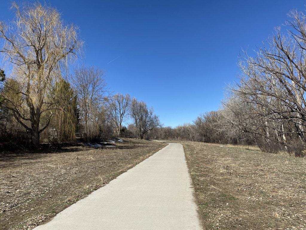
This section of the Bear Creek Trail has a great natural surface trail option offering a short but scenic nature hike.
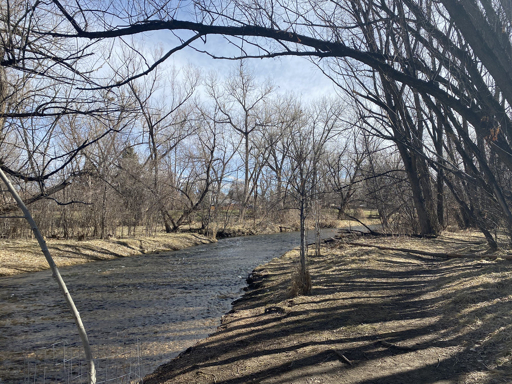
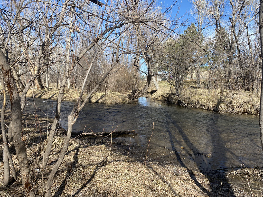
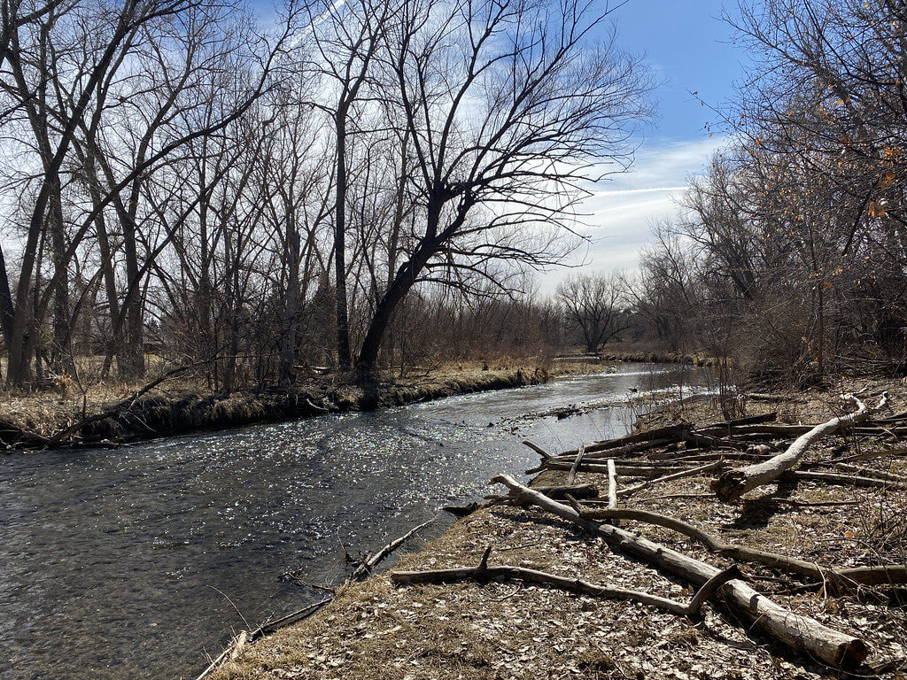
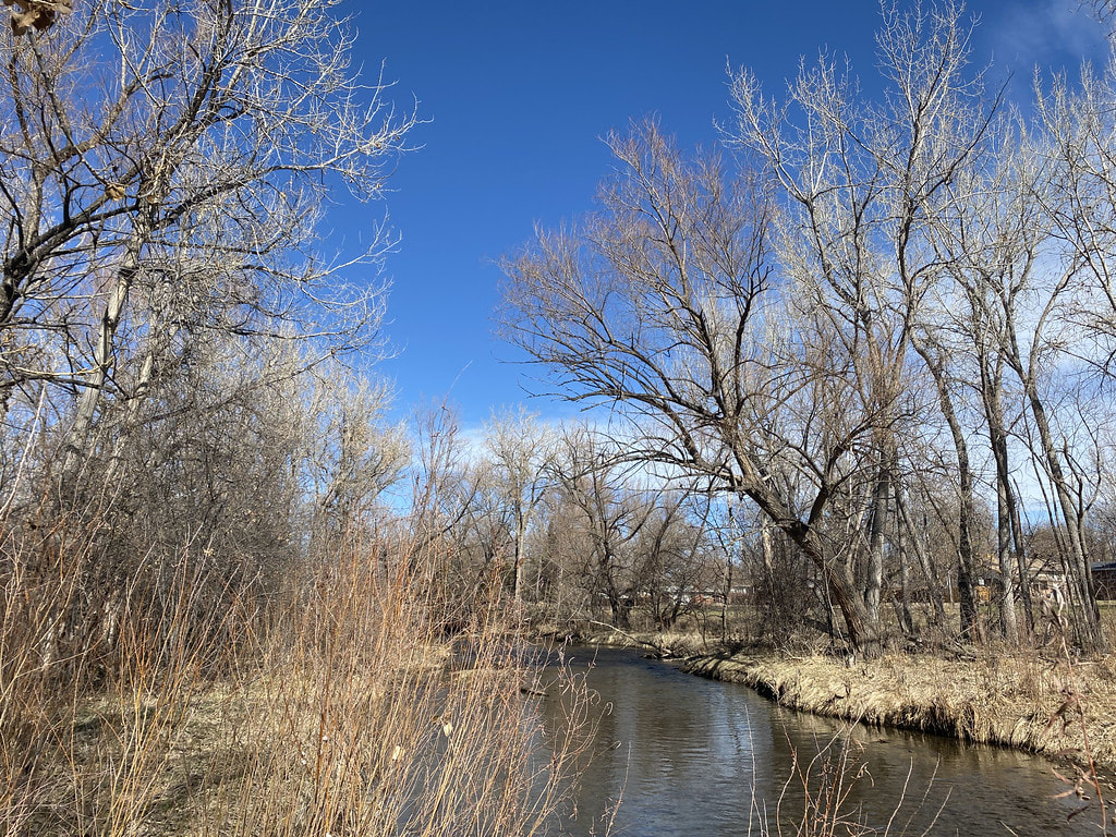
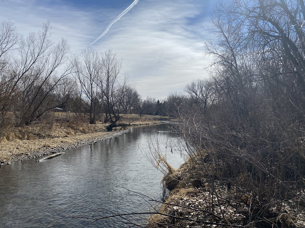
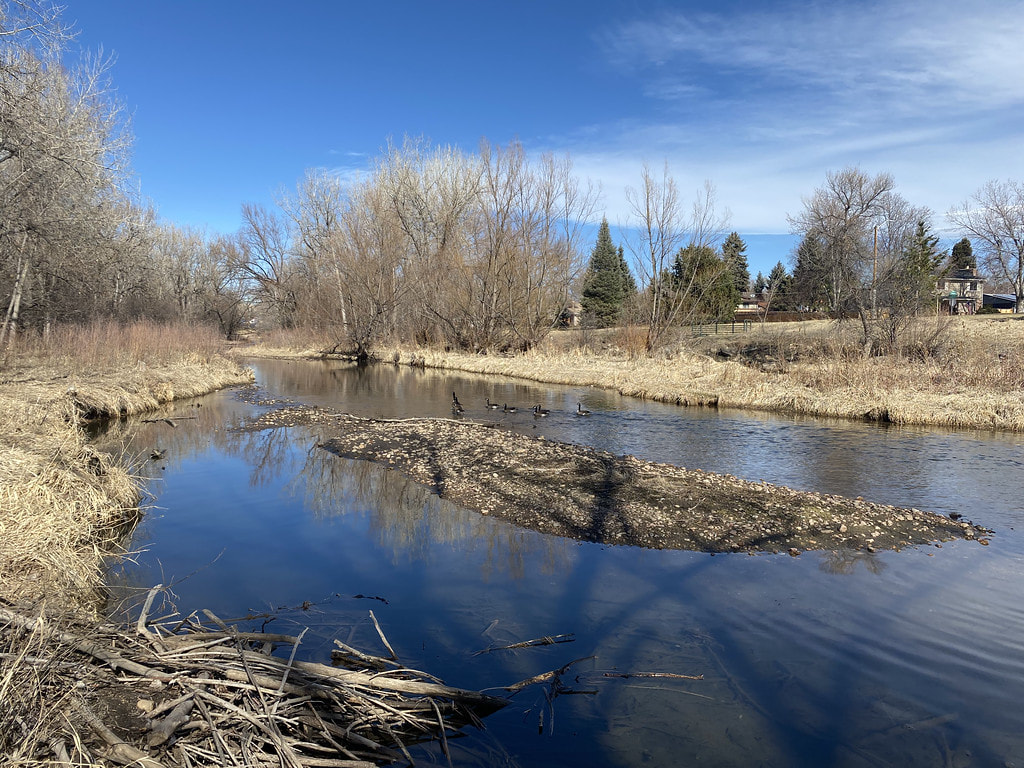
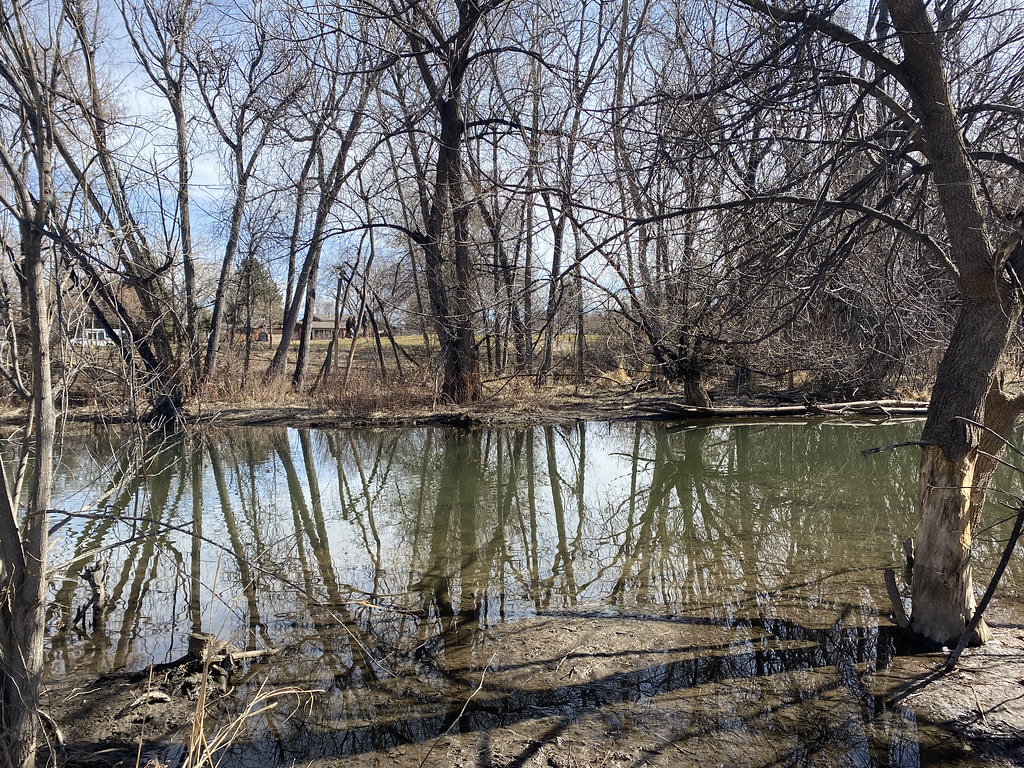
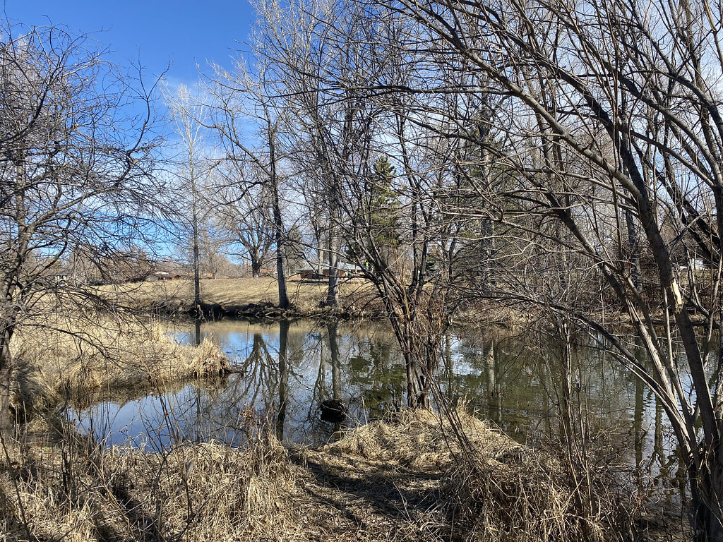
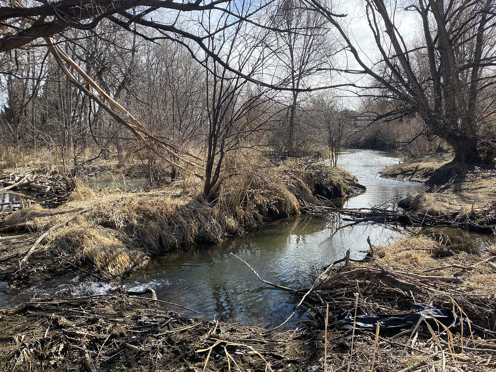
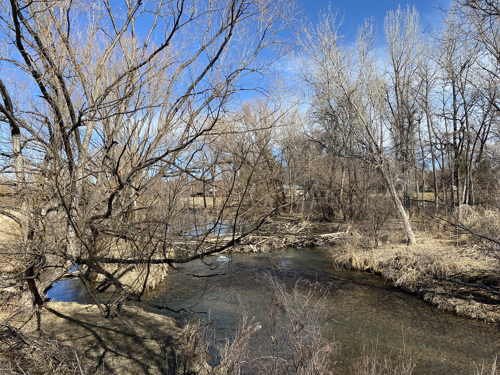
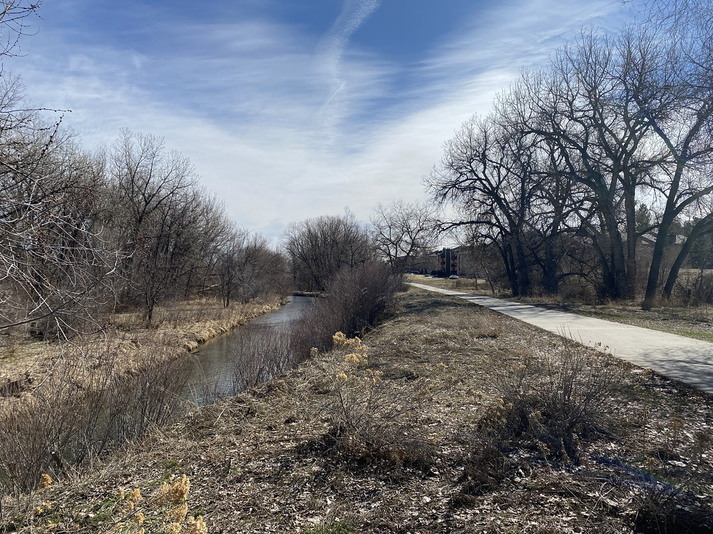
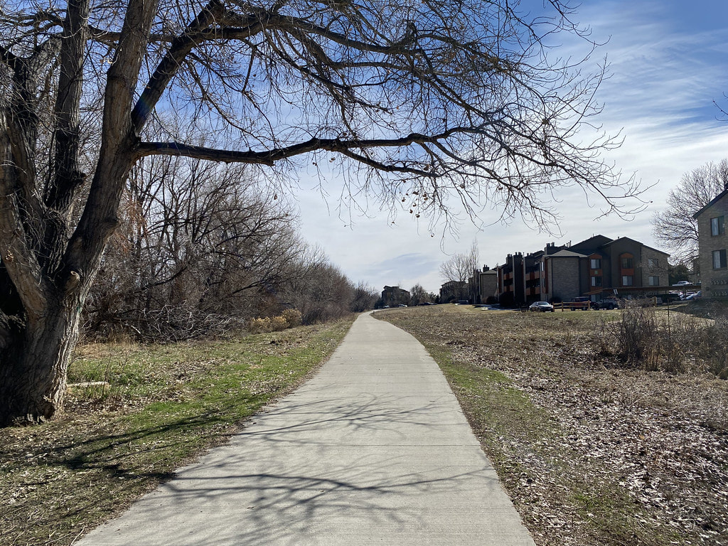
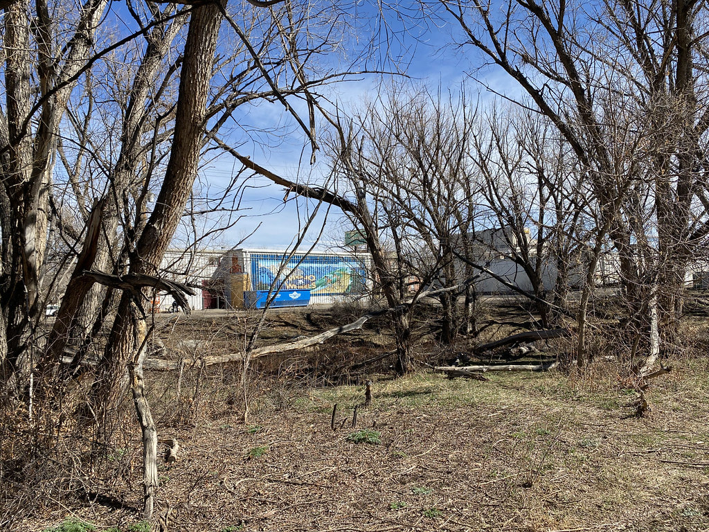
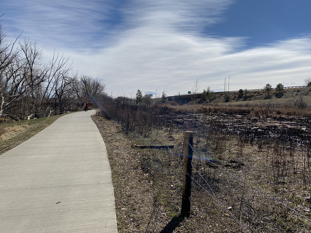
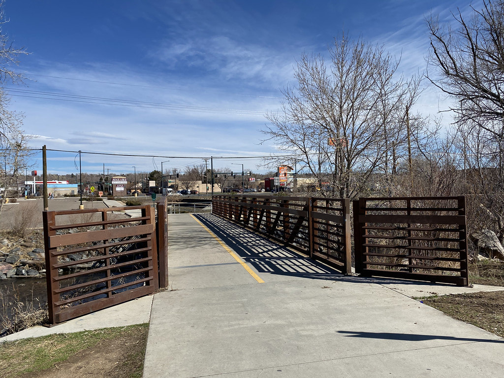
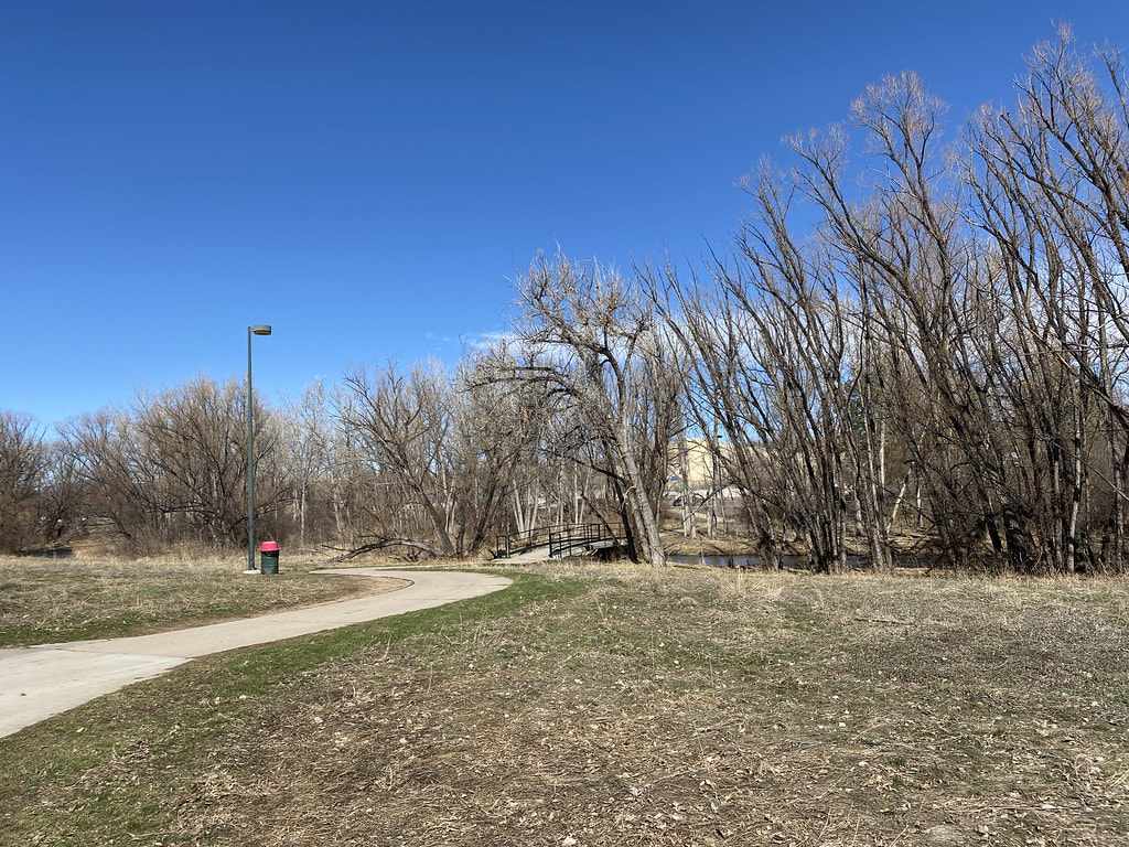
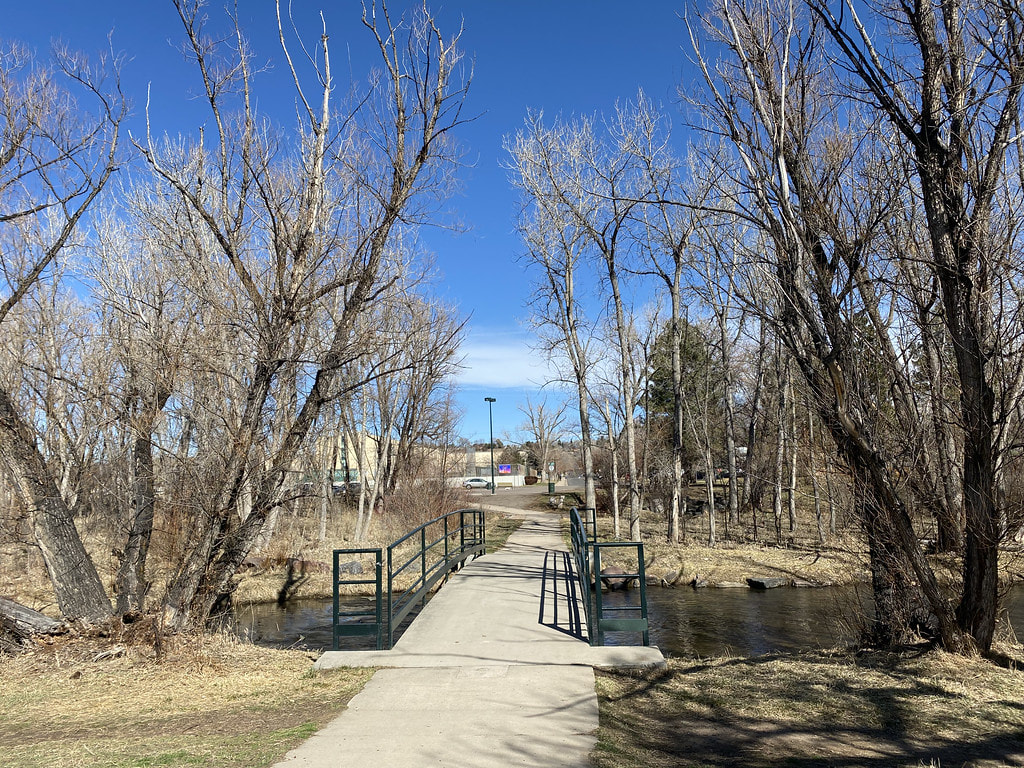
From the trailhead at Lamar Street, cross the bridge over Bear Creek. On the opposite side of the bridge, look for the single track path heading east along the shore of the creek. The path meanders around cottonwood trees and through wetlands. In wetter months (spring time) I'd imagine this part of the trail would be wet or impassible. If it's dry you can follow the trail all the way to the beaver dams and cascades. At this point, head up the banks and re-join the paved Bear Creek Trail. As you head east from this point, the hike gets...less scenic... You pass by some apartment complexes and a strange burn area before arriving at the bridge that connects to the Walmart parking lot. Turn around here. You can cross the bridge and follow the northern shore of the creek to the paved trail leading back to the trailhead on the opposite side of the creek. However, this trail doesn't seem to be as nice as the Bear Creek Trail, and has no natural surface options. This stretch of trail should be particularly nice in the fall and I recommend combining it with the Western part of Bear Valley Park and skipping the section east of the beaver dams. |
|
- HOME
- ABOUT
-
HIKES BY REGION
-
NATIONAL PARK HIKES
- BENT'S OLD FORT NATIONAL HISTORIC SITE
- BLACK CANYON OF THE GUNNISON NATIONAL PARK
- COLORADO NATIONAL MONUMENT
- CURECANTI NATIONAL RECREATION AREA
- DINOSAUR NATIONAL MONUMENT
- FLORISSANT FOSSIL BEDS NATIONAL MONUMENT
- MESA VERDE NATIONAL PARK
- ROCKY MOUNTAIN NATIONAL PARK
- GREAT SAND DUNES NATIONAL PARK
- HOVENWEEP NATIONAL MONUMENT
- SAND CREEK MASSACRE NATIONAL HISTORIC SITE
- YUCCA HOUSE NATIONAL MONUMENT
- HIKES BY CATEGORY
- NEWS
- WEBCAMS
- $UPPORT GHC
- INTERACTIVE MAP
Bear Creek Trail
Bear Valley Park (Sheridan Blvd. to Lamar St.)
Date Hiked: March 11, 2020
Distance: 1.8 mi (RT)
Elevation Gain: Minimal
Elevation: 5,340 ft
Managing Agency: Denver Parks & Recreation
Fee: None