|
Directions: From Hwy 285/Hampden Ave, exit at Kipling Parkway and head north. Turn right on Dartmouth Ave and bear left onto Kipling Street. Park just north of the overpass for the Bear Creek Trail.
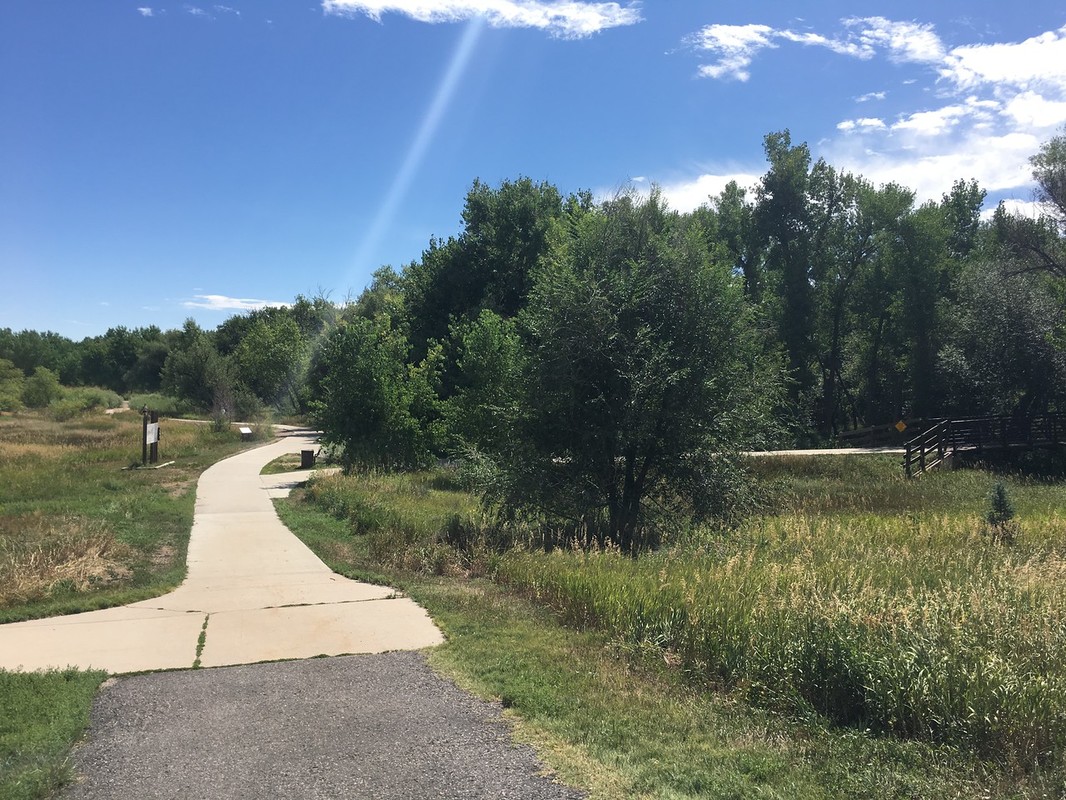
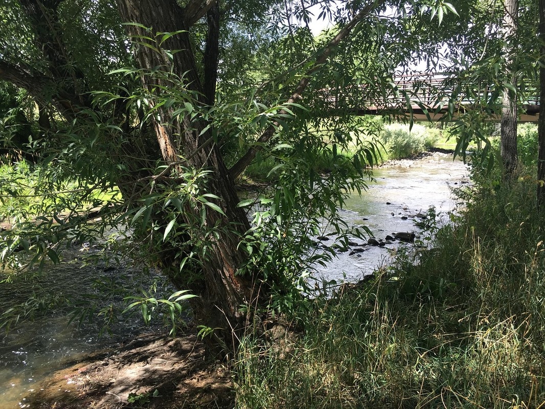
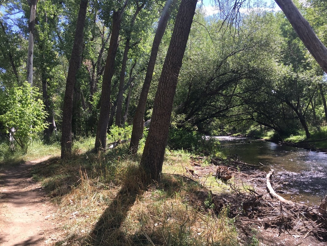
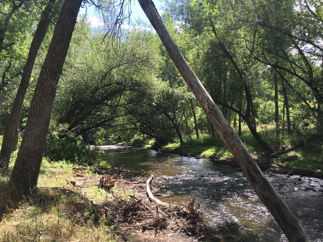
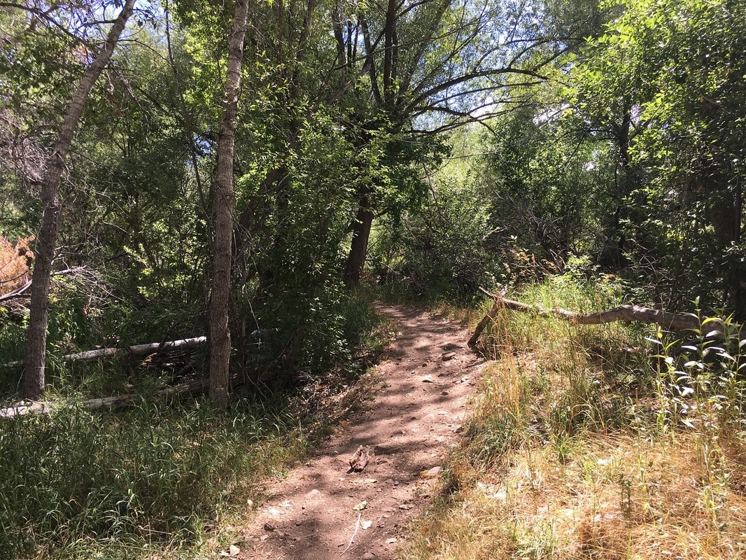
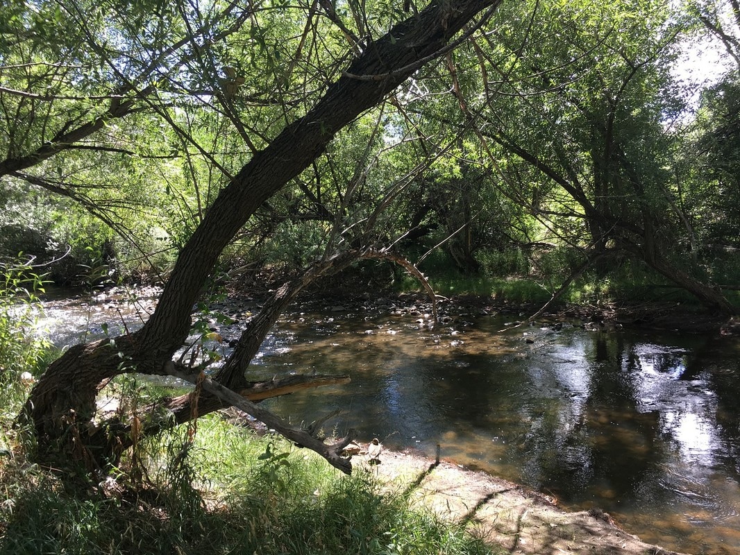
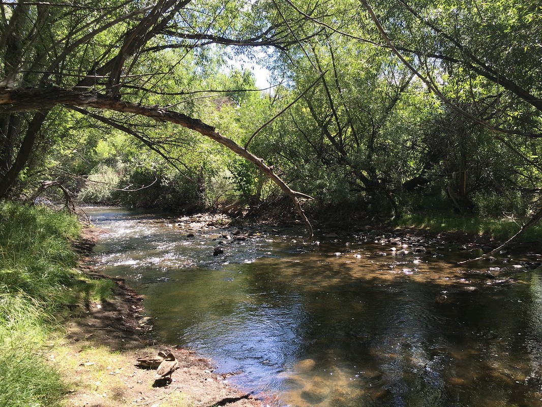
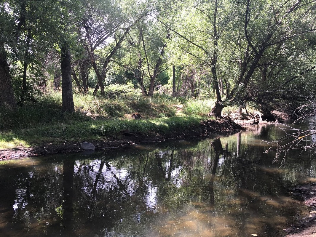
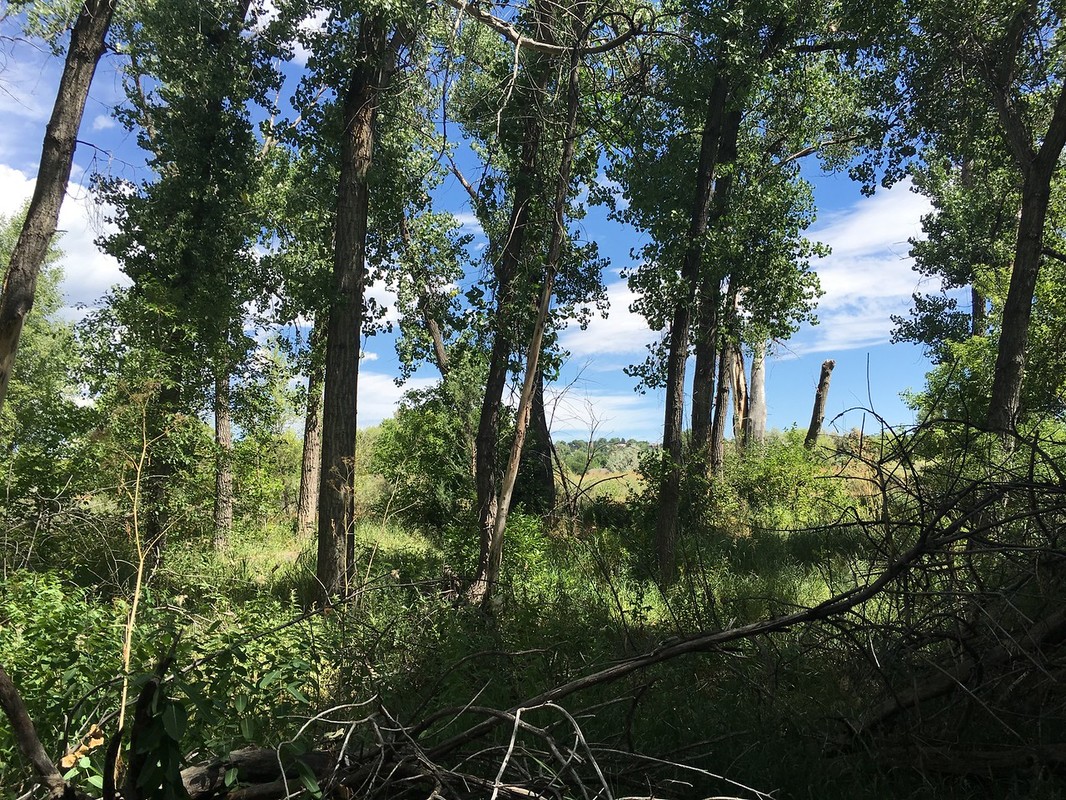
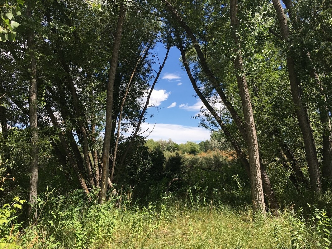
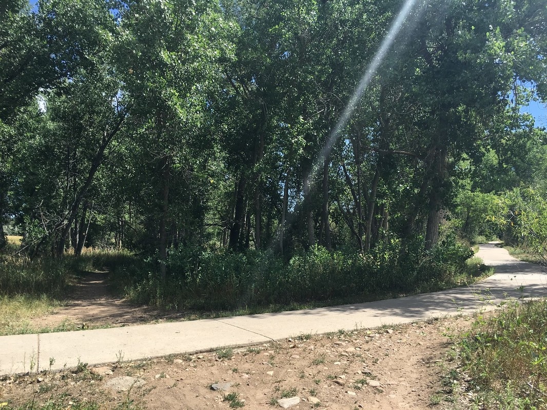
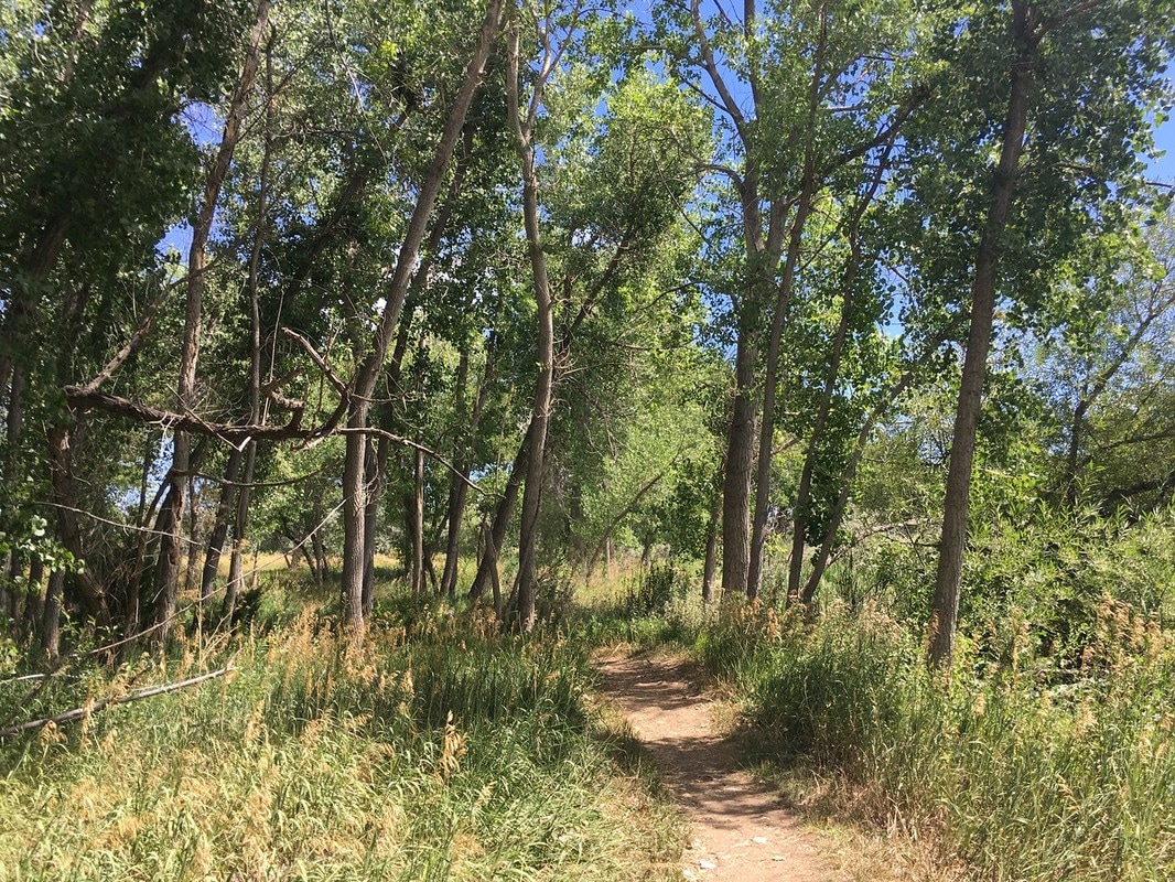
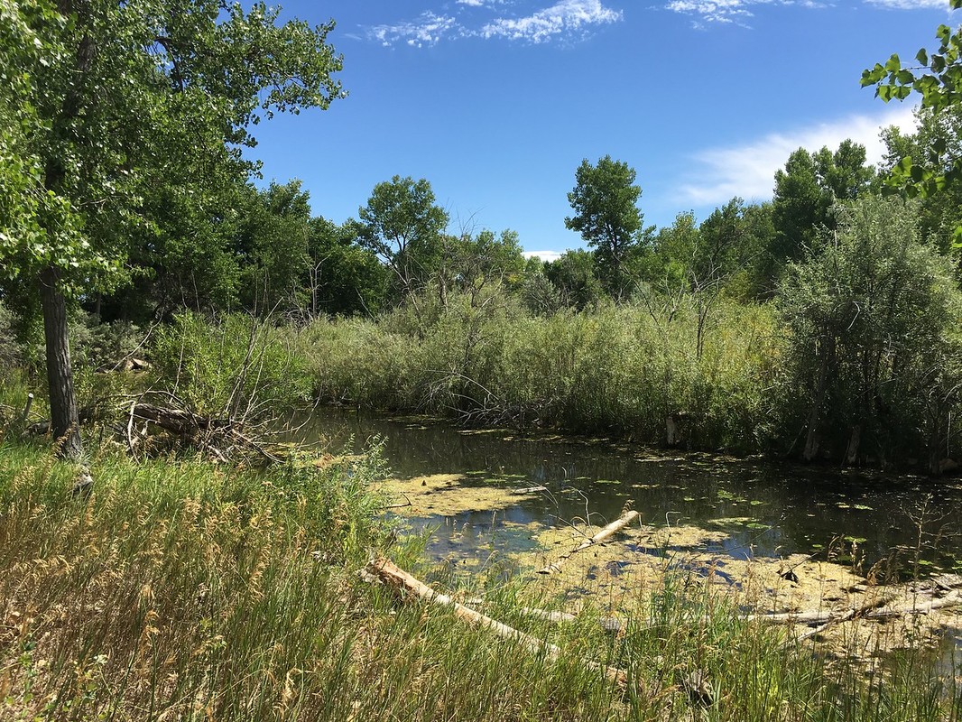
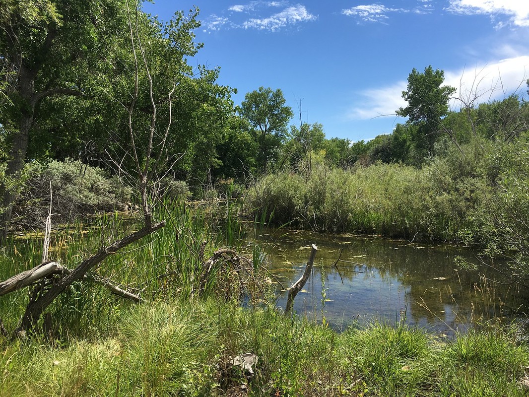
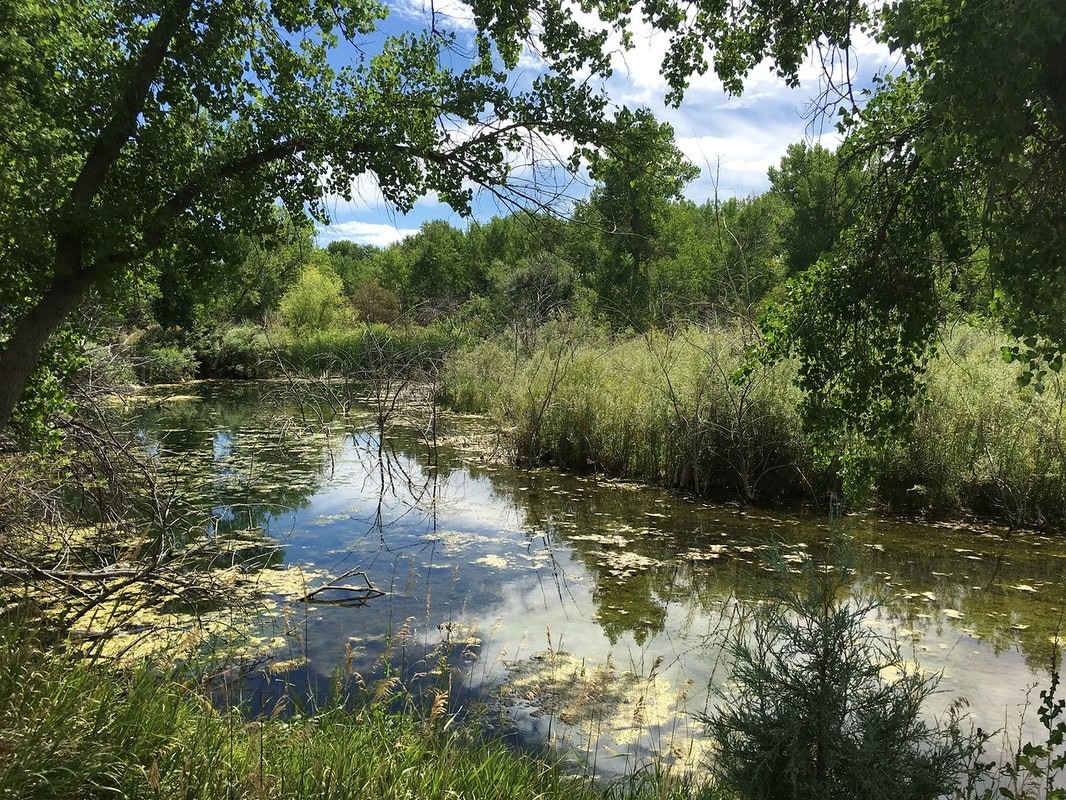
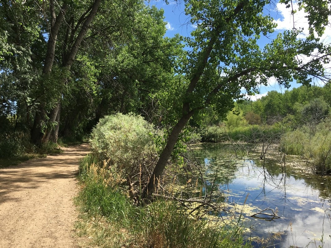
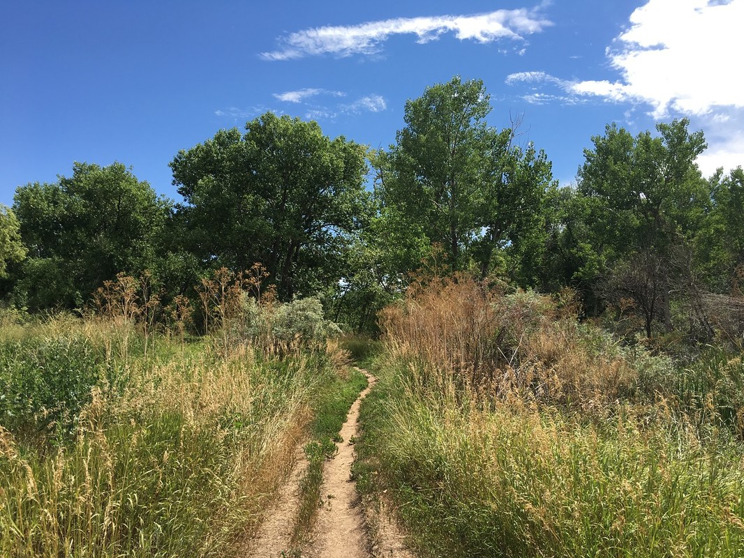
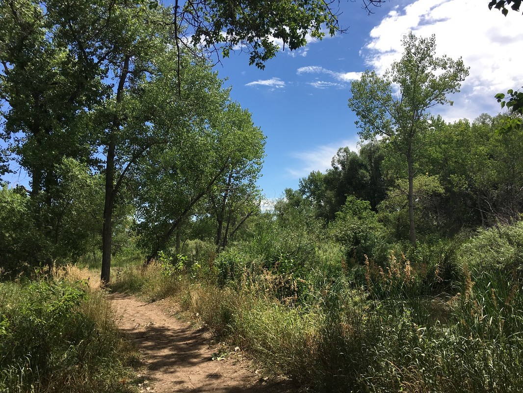
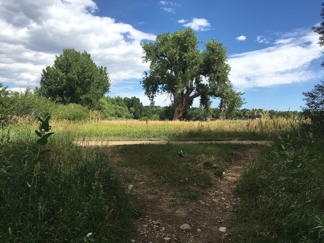
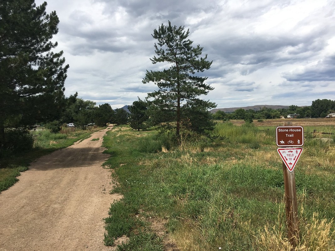
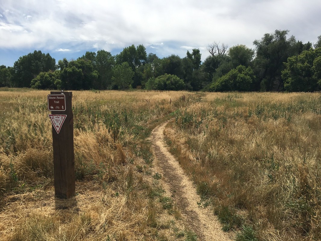
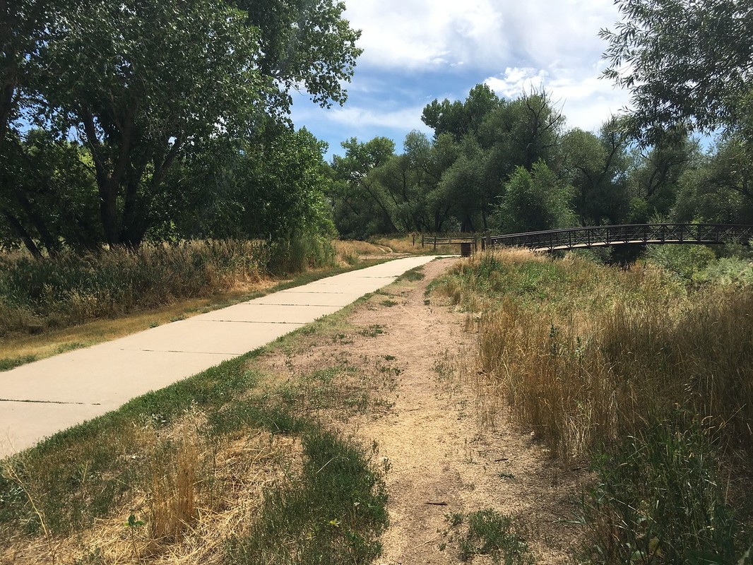
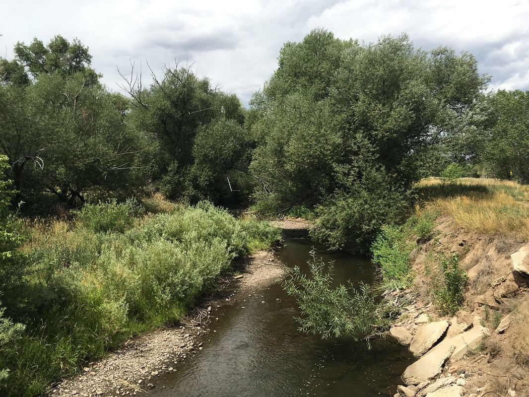
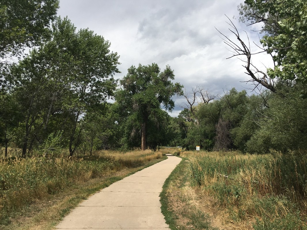
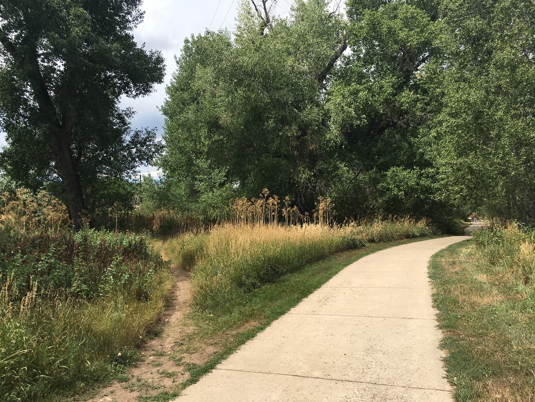
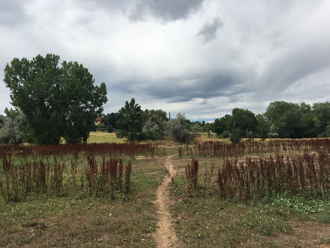
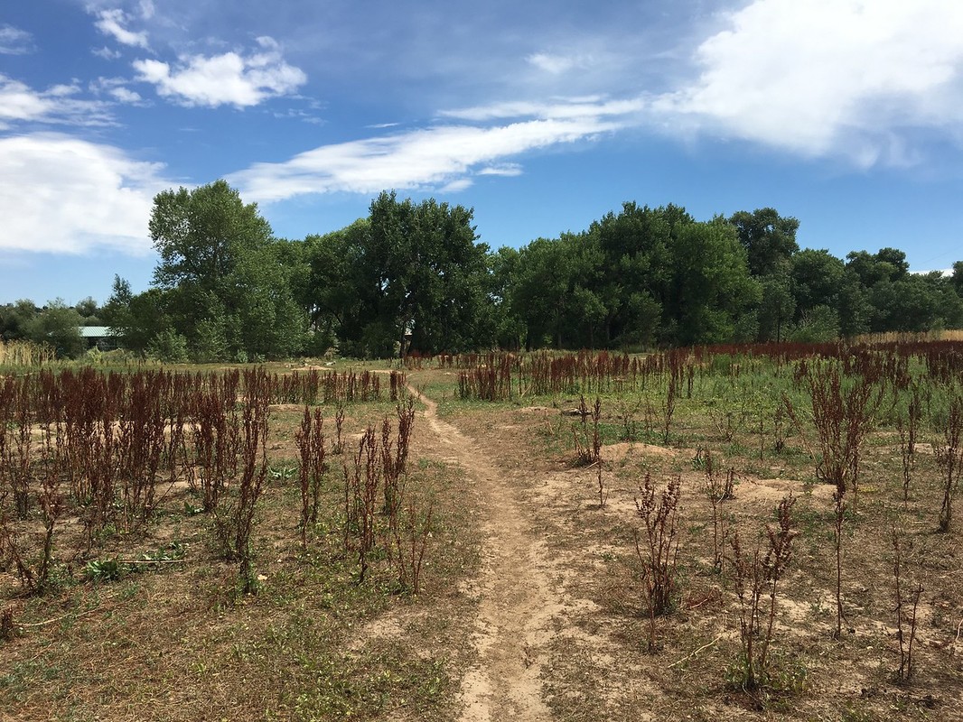
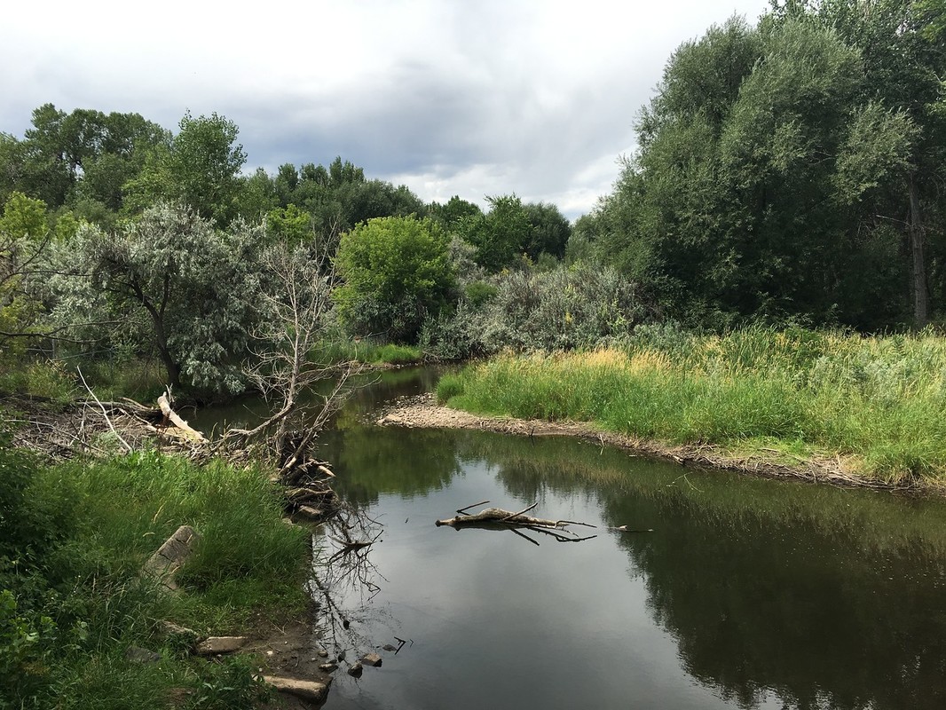
This segment of the Bear Creek Trail runs through the peaceful and serene Bear Creek Greenbelt, an open space park managed by the City of Lakewood. This segment contains both the paved Bear Creek Trail as well as the natural surface Stone House Trail. The two trails crisscross across the open space allowing for various loops to be formed. The trails weave through forest and wetlands, across ponds and prairie dog villages, and generally follow Bear Creek. While there are multiple trails and various options, the best rule of thumb is just to explore whichever trail looks the most interesting to you while trying to stay close to Bear Creek. As you make your way east you’ll eventually have to cross over Estes Street into the Eastern portion of the Bear Creek Greenbelt to cross back over Bear Creek and loop back to the west. This segment is very pretty in most seasons and can be linked with the western half of the Bear Creek Greenbelt for longer loops. You can also follow the Stone House and Bear Creek Trails west from here which will eventually lead you to Bear Creek Lake Regional Park. |
|
- HOME
- ABOUT
-
HIKES BY REGION
-
NATIONAL PARK HIKES
- BENT'S OLD FORT NATIONAL HISTORIC SITE
- BLACK CANYON OF THE GUNNISON NATIONAL PARK
- COLORADO NATIONAL MONUMENT
- CURECANTI NATIONAL RECREATION AREA
- DINOSAUR NATIONAL MONUMENT
- FLORISSANT FOSSIL BEDS NATIONAL MONUMENT
- MESA VERDE NATIONAL PARK
- ROCKY MOUNTAIN NATIONAL PARK
- GREAT SAND DUNES NATIONAL PARK
- HOVENWEEP NATIONAL MONUMENT
- SAND CREEK MASSACRE NATIONAL HISTORIC SITE
- YUCCA HOUSE NATIONAL MONUMENT
- HIKES BY CATEGORY
- NEWS
- WEBCAMS
- $UPPORT GHC
- INTERACTIVE MAP
Bear Creek Trail (Kipling St. to Estes St.)
Bear Creek Greenbelt
Date Hiked: August 10, 2016
Distance: 2 mi (RT)
Elevation Gain: Minimal
Elevation: 5,411 ft
Managing Agency: Lakewood Parks
Fee: None