|
| ||||||
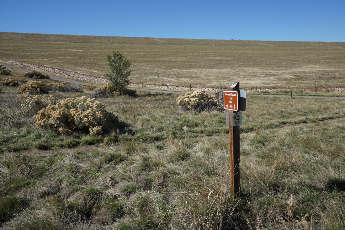
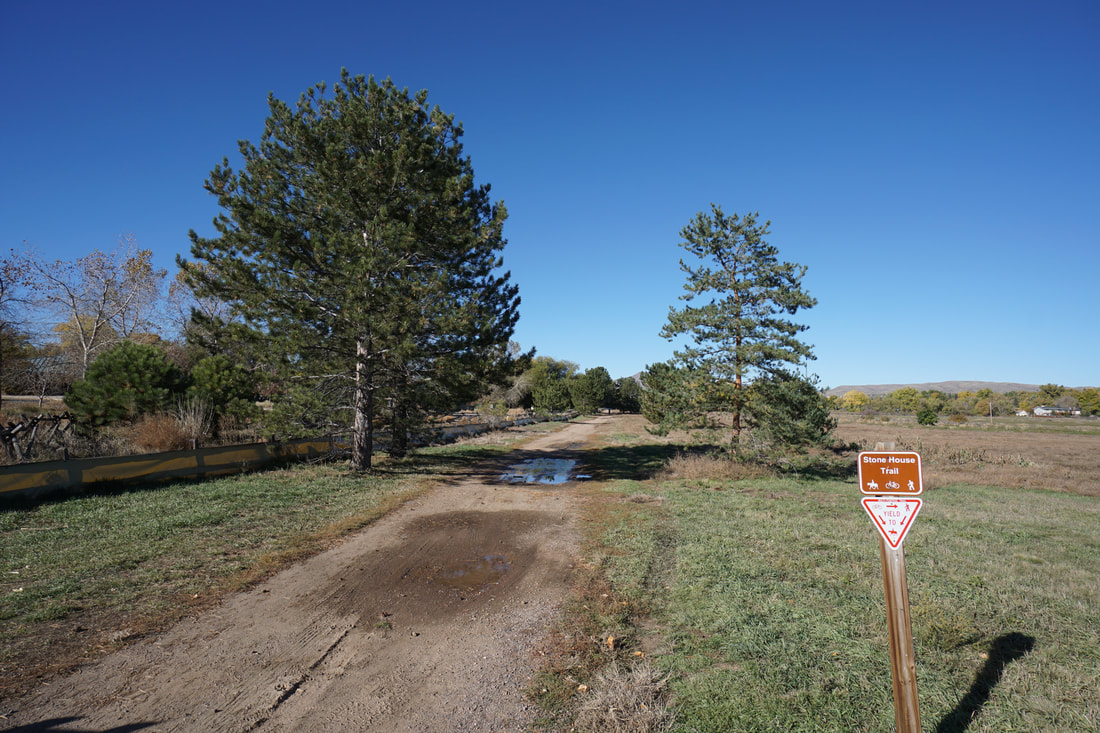
DIRECTIONS: There are many trailheads and access points for the Stone House Trail but the main parking area is located on Estes Street. From Hwy 285/Hampden, exit at Wadsworth and head south. Make your first right onto W. Hampden Ave and head west paralleling 285. Turn right (north) on Estes Street under 285 and head north until you see the Stone House Parking Area.
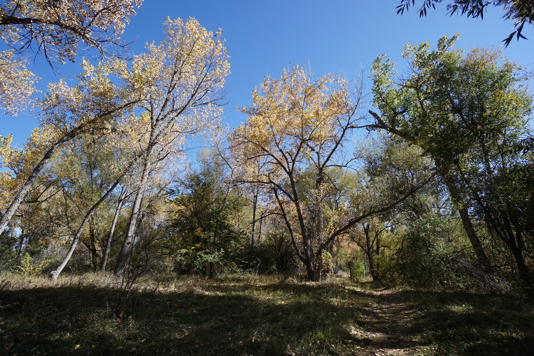
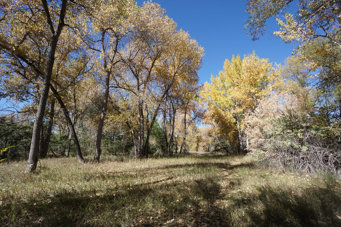
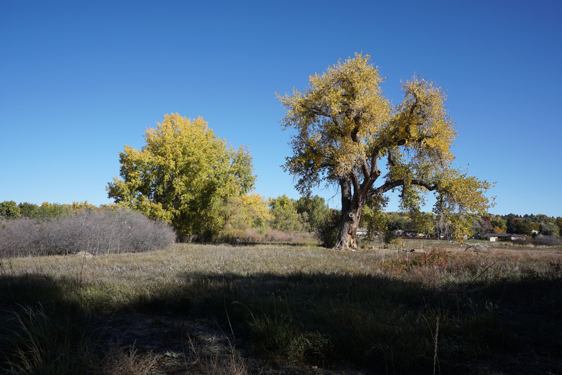
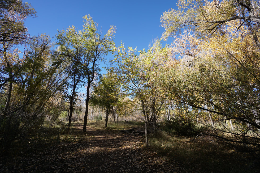
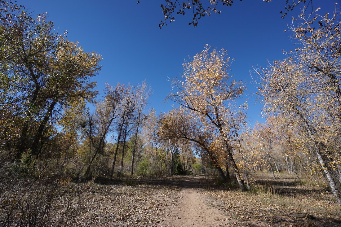
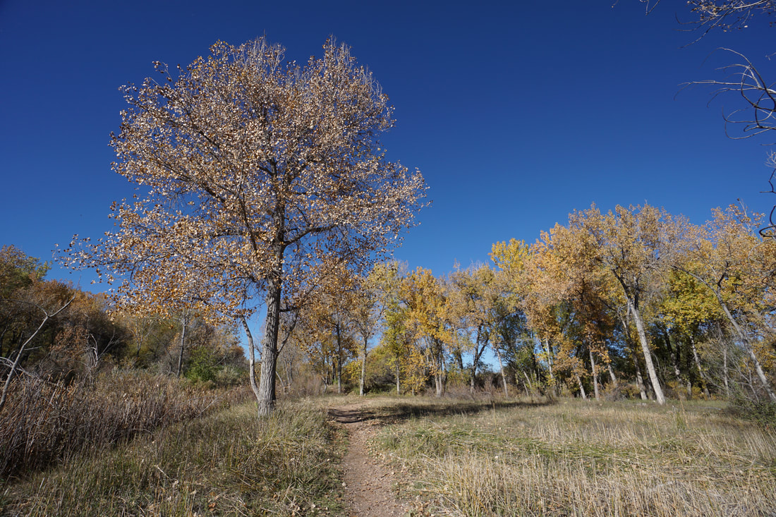
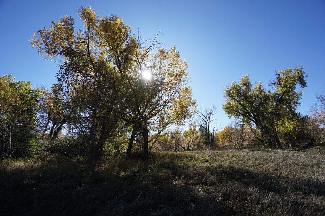
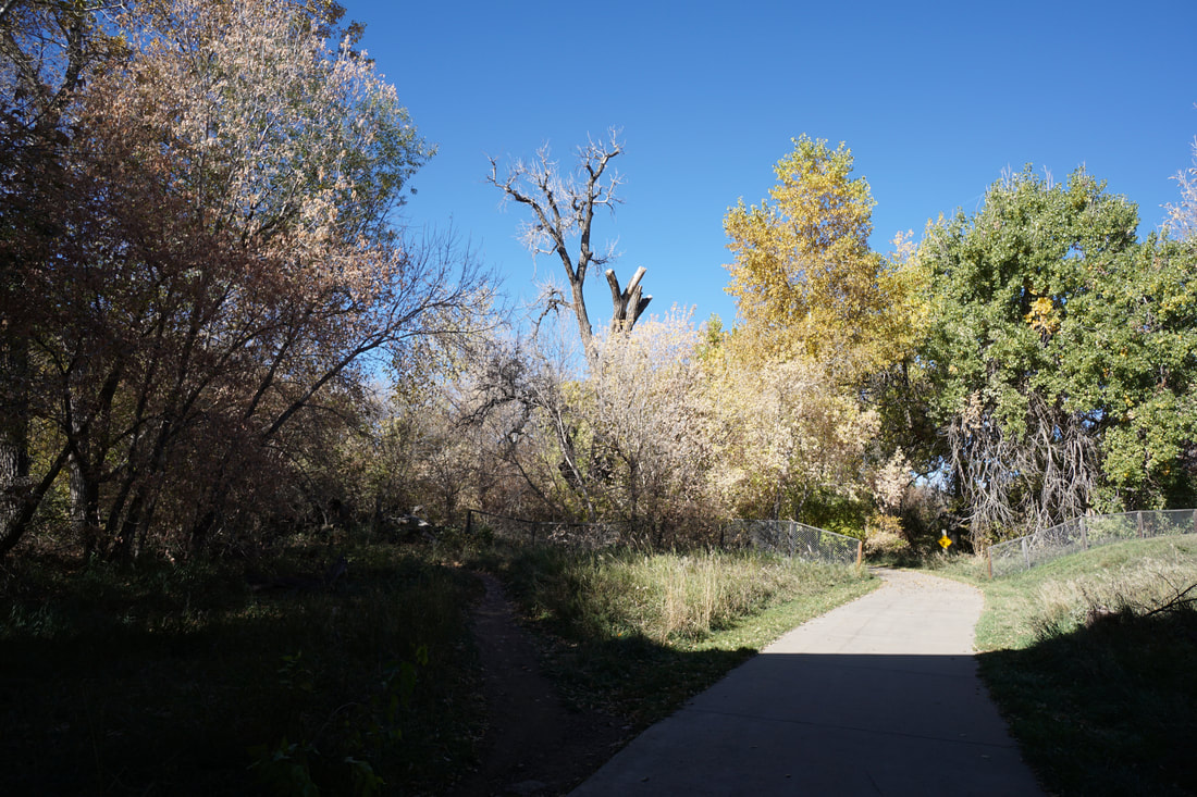
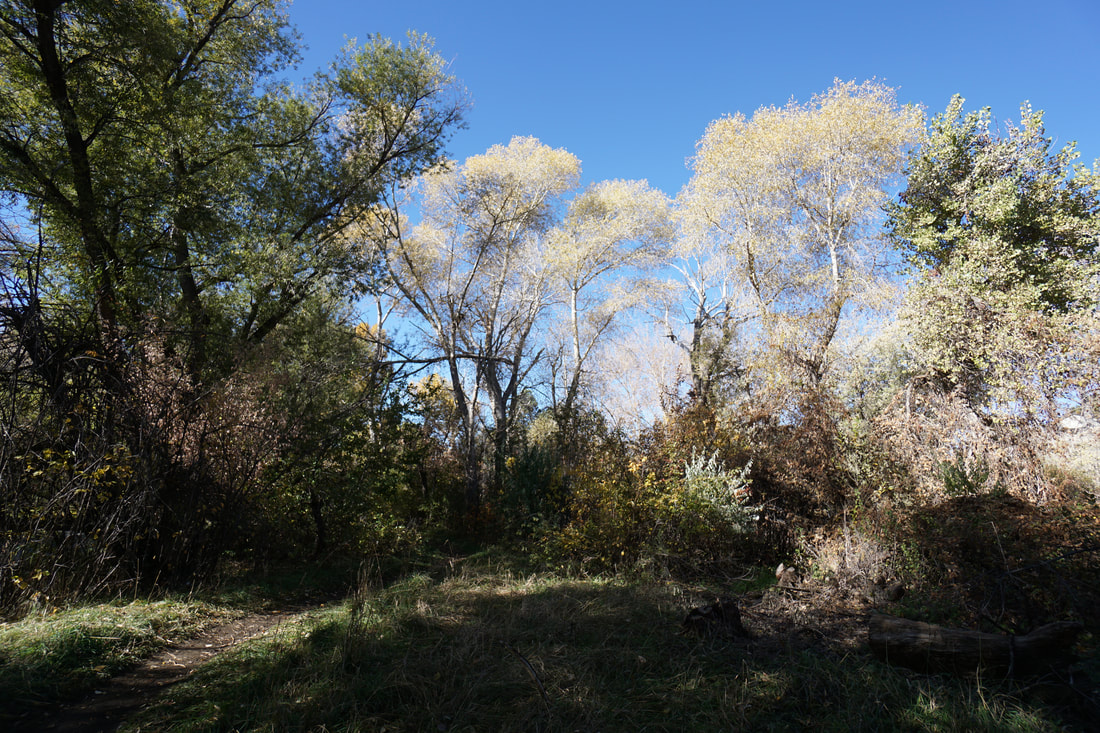
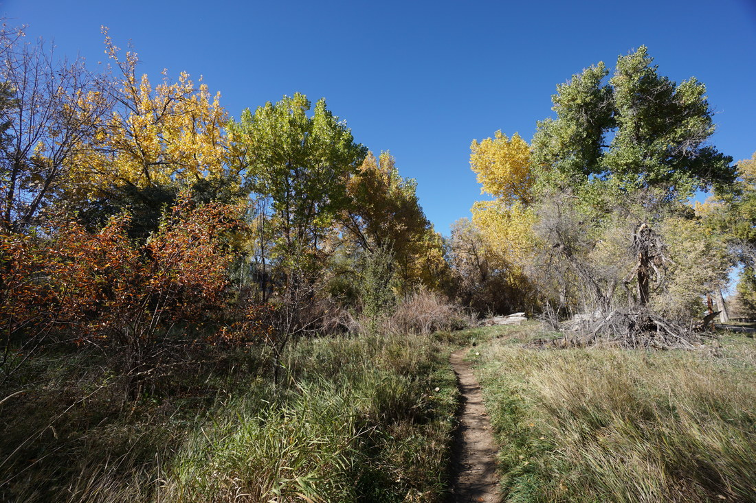
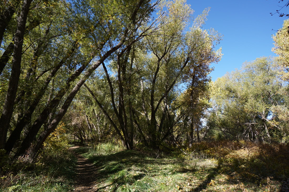
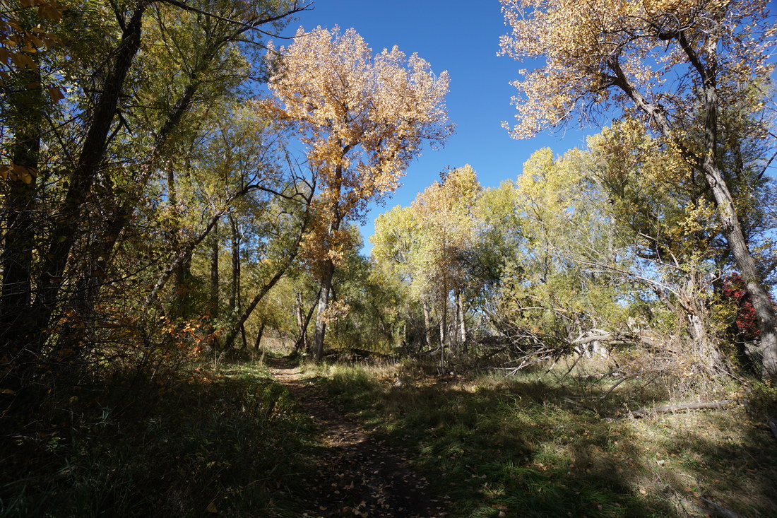
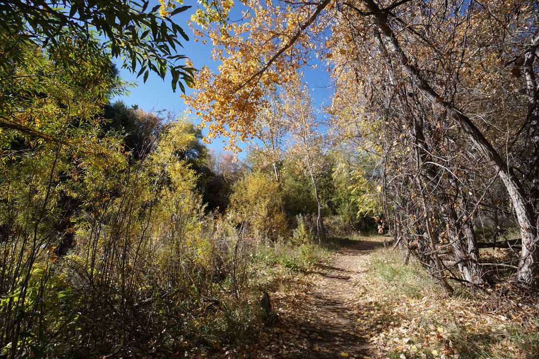
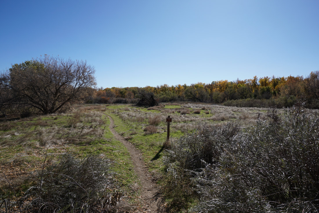
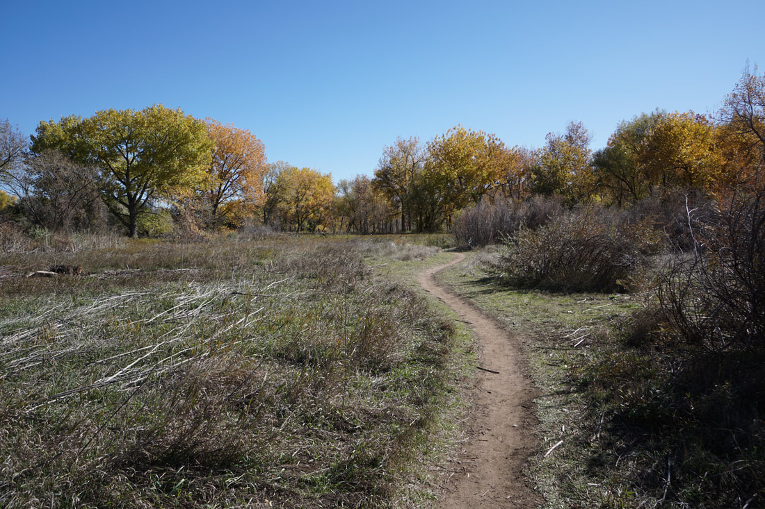
The Stone House Trail is a unique treasure. There are many dirt trails that run alongside paved bike trails in the Denver Metro Area but the Stone House Trail is a true hiking trail. It runs for about 4 miles from Wadsworth Blvd to Bear Creek Lake Park and while it does intersect with the paved Bear Creek Trail frequently, there are long stretches where the trail is completely separate and extremely scenic. The trail is well signed so as long as you follow the signs, you'll be able to hike for miles on soft single track. A little slice of wilderness in Denver's back yard.
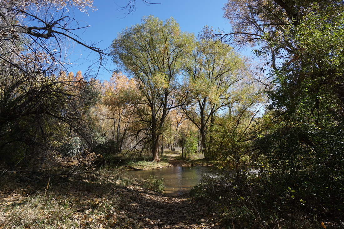
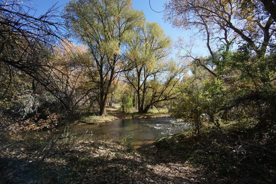
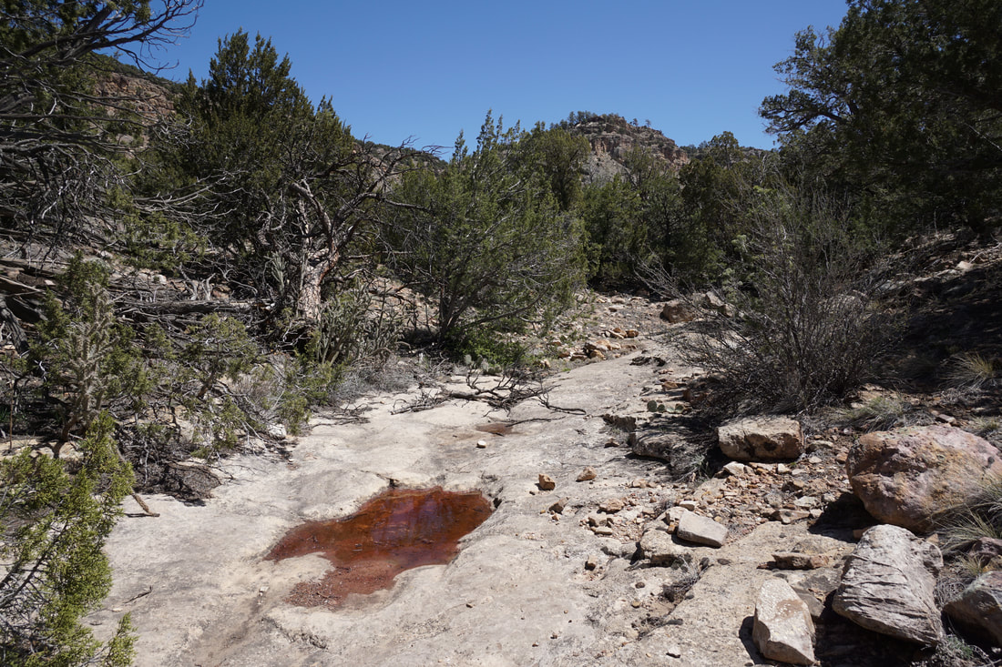
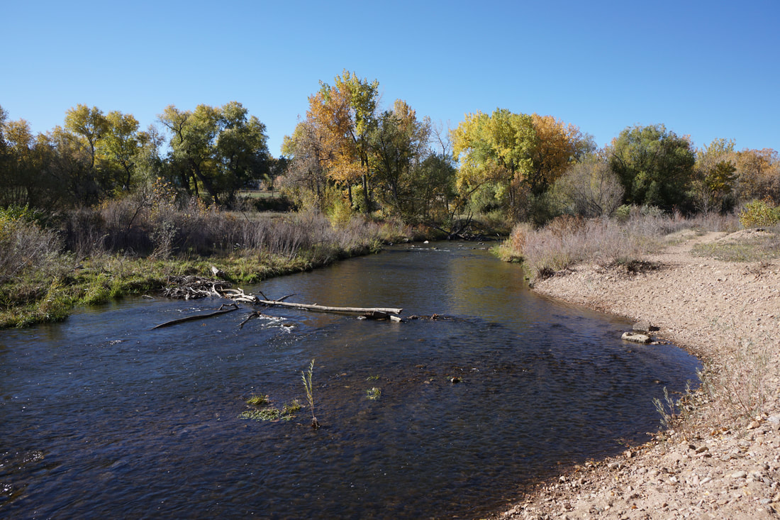
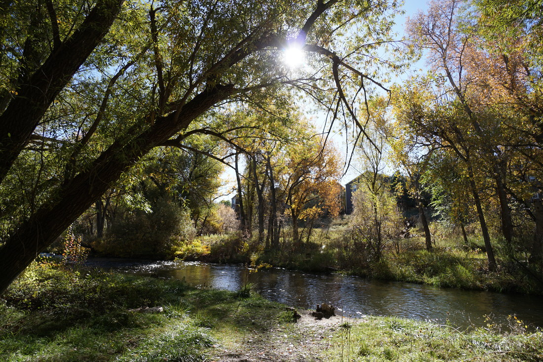
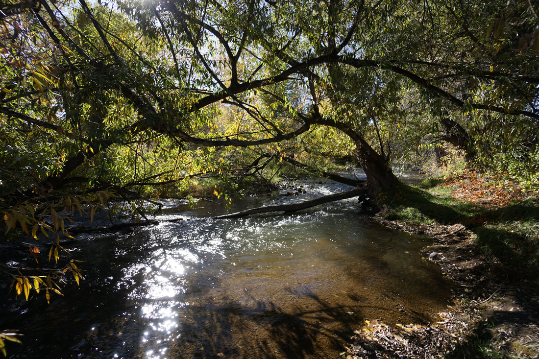
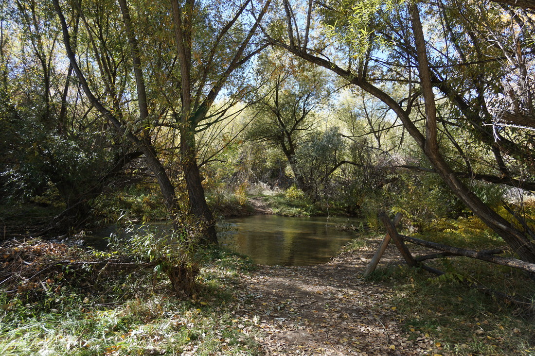
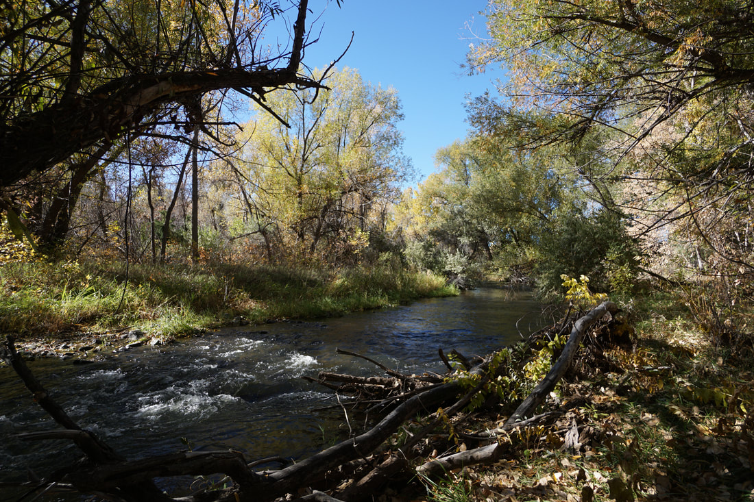
Unfortunately, at this time, the trail is impassible about 2 miles east of Estes Street. At this point in the trail, it crosses Bear Creek three times. In the past these crossings were fun puzzles to figure out. However, due to either greater snow in the mountains or higher releases from Bear Creek Lake, the 1st and the 3rd (and maybe the 2nd...) stream crossings are wide and deep with no way of crossing (except for wading through the water, which I can not recommend. That being said, the trail is still worth checking out, especially in the fall when the trees are absolutely beautiful.
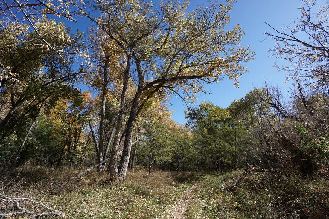
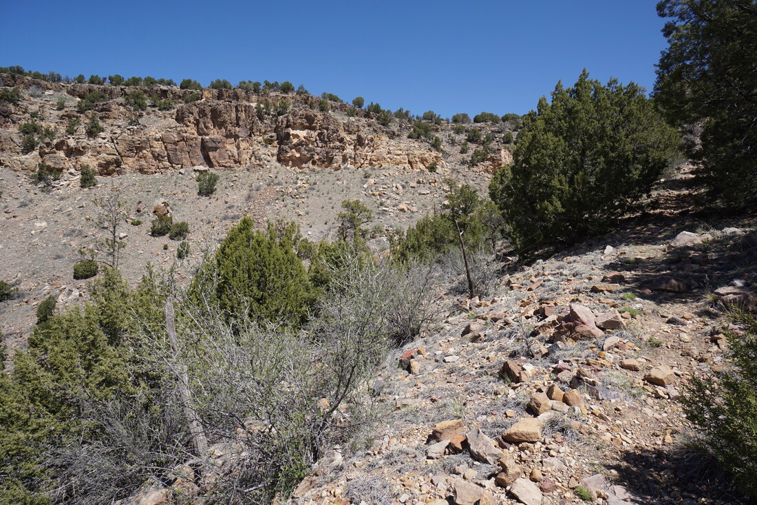
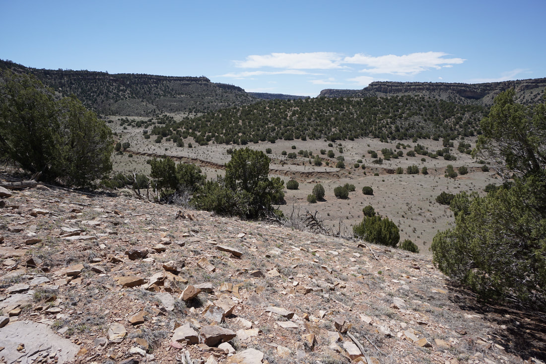
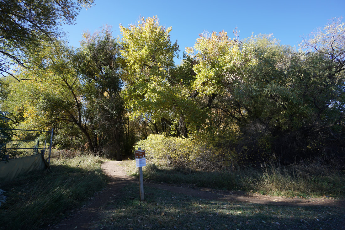
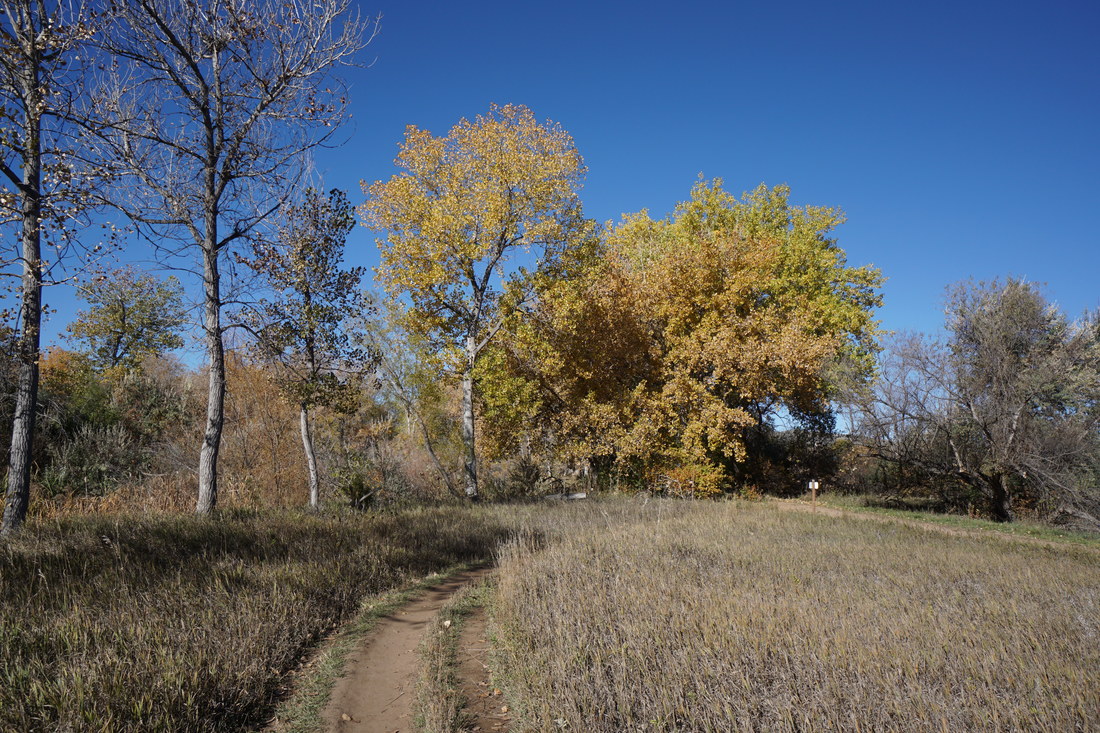
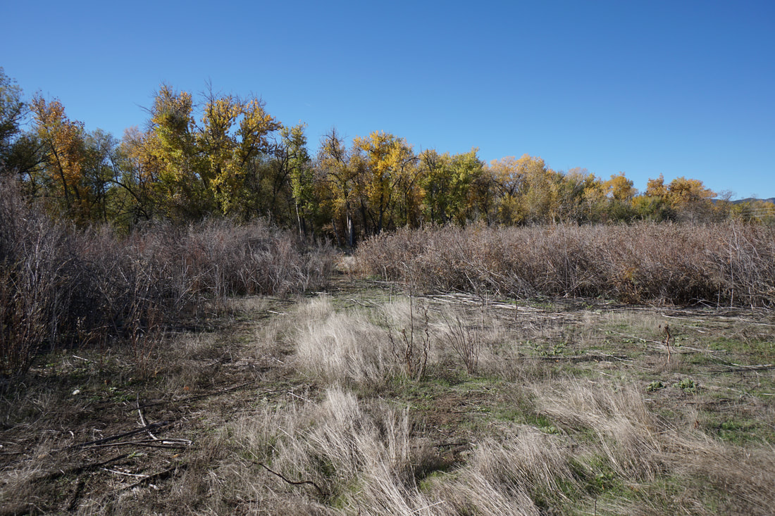
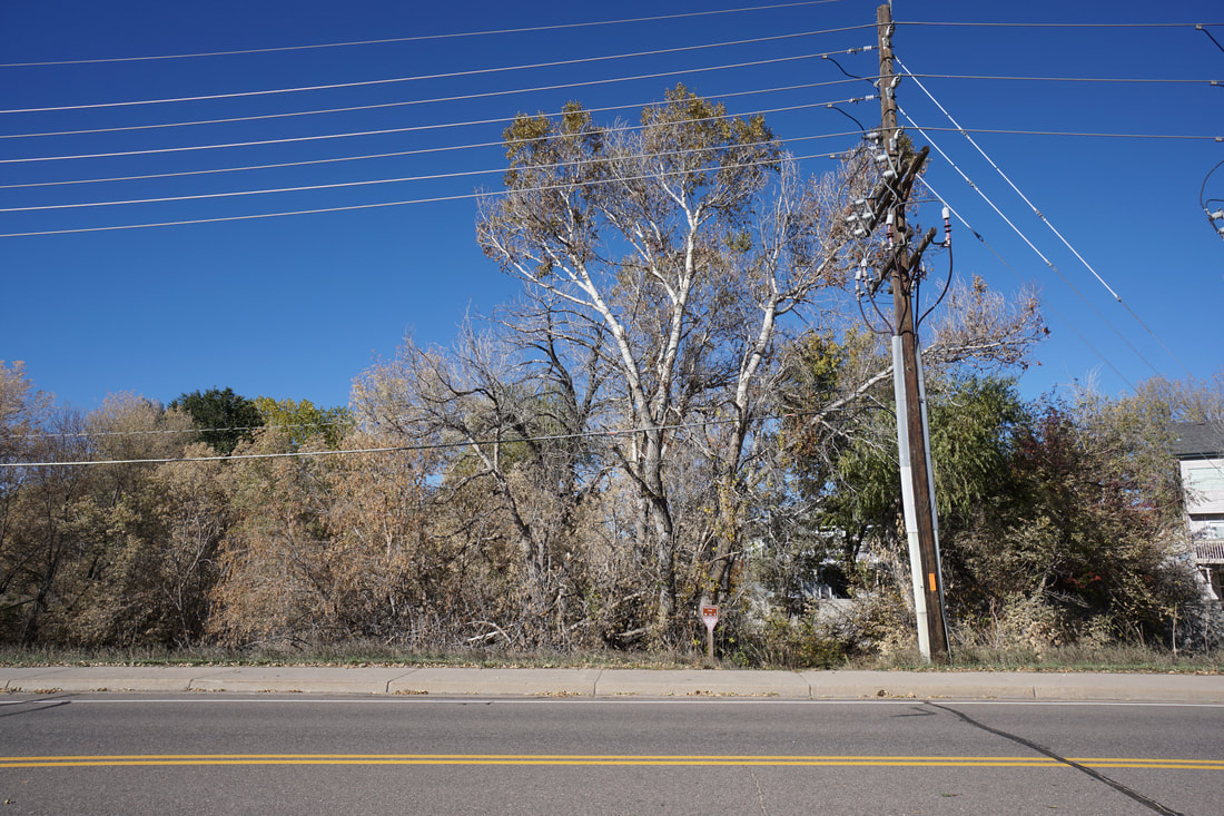
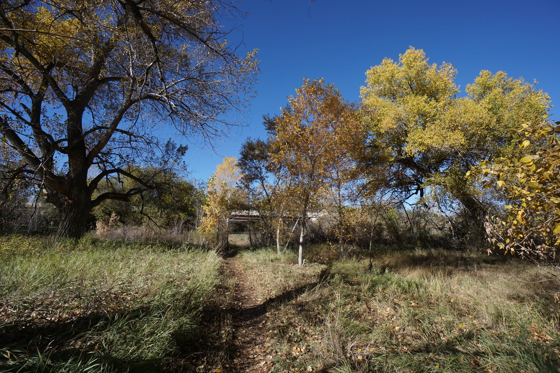
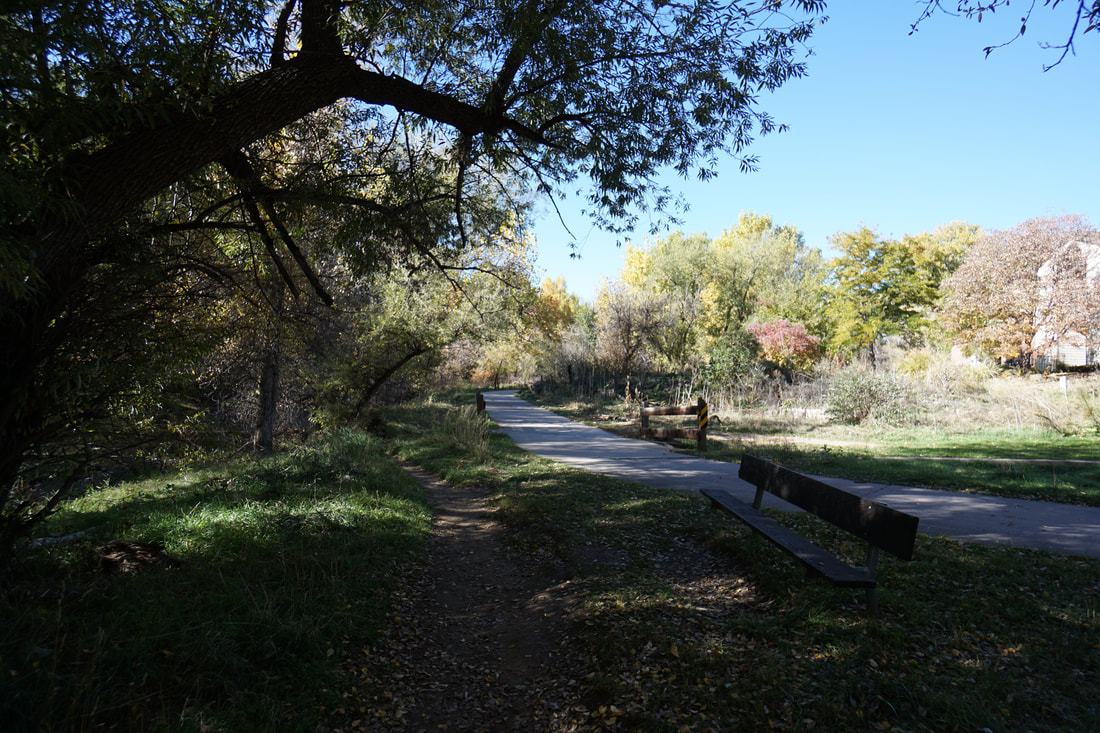
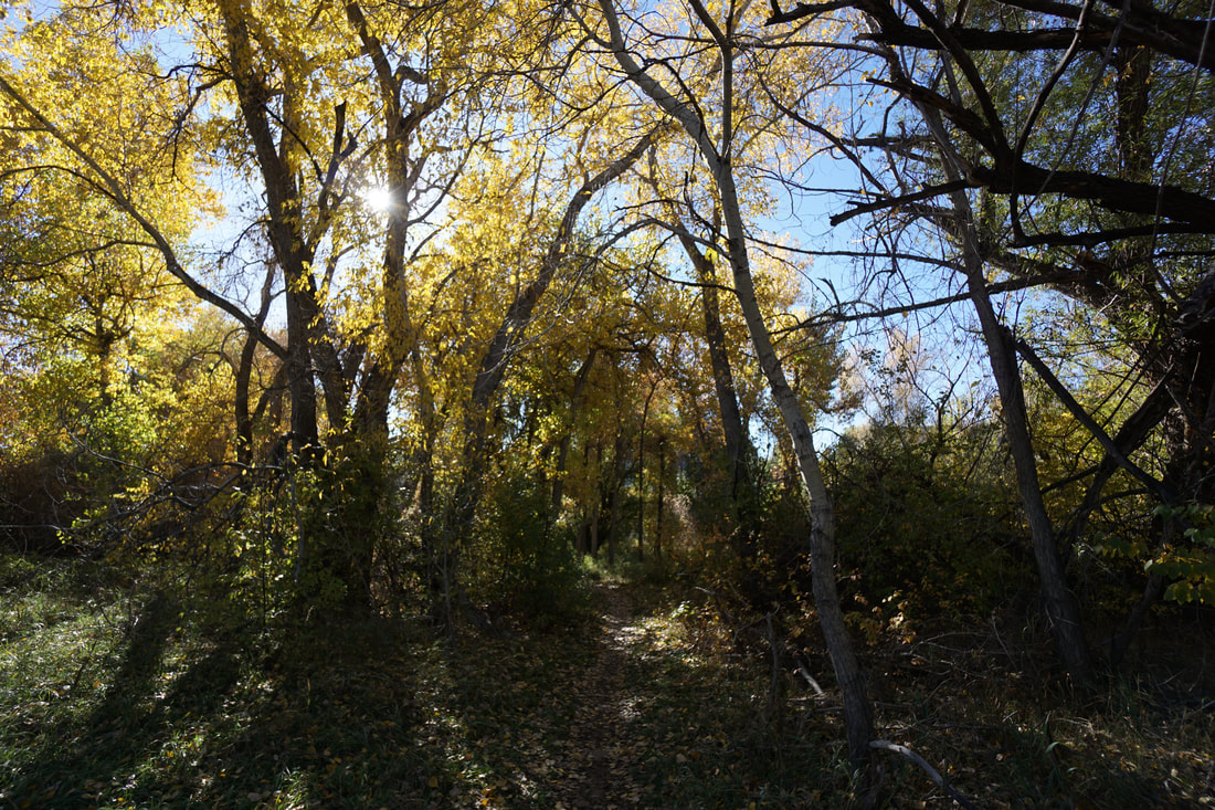
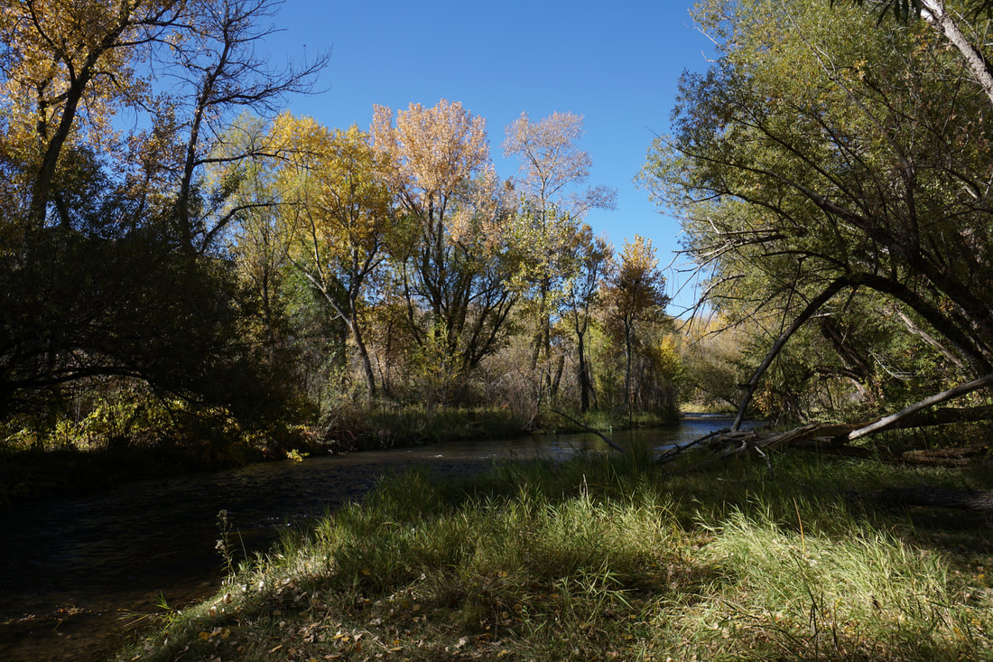
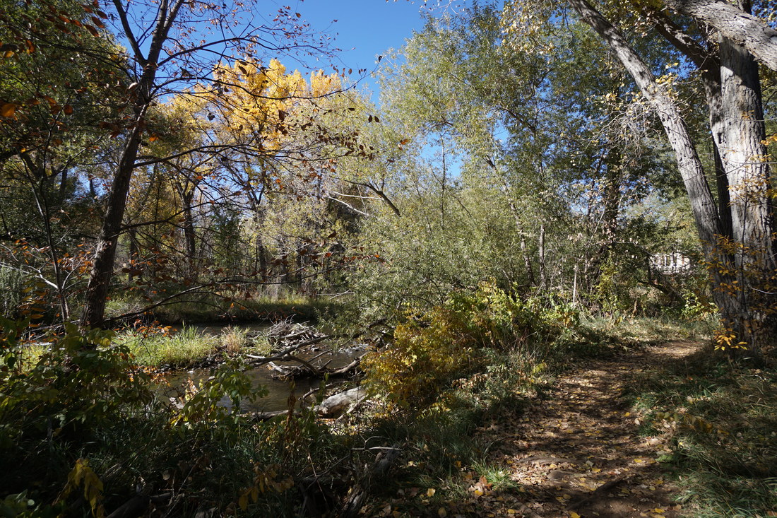
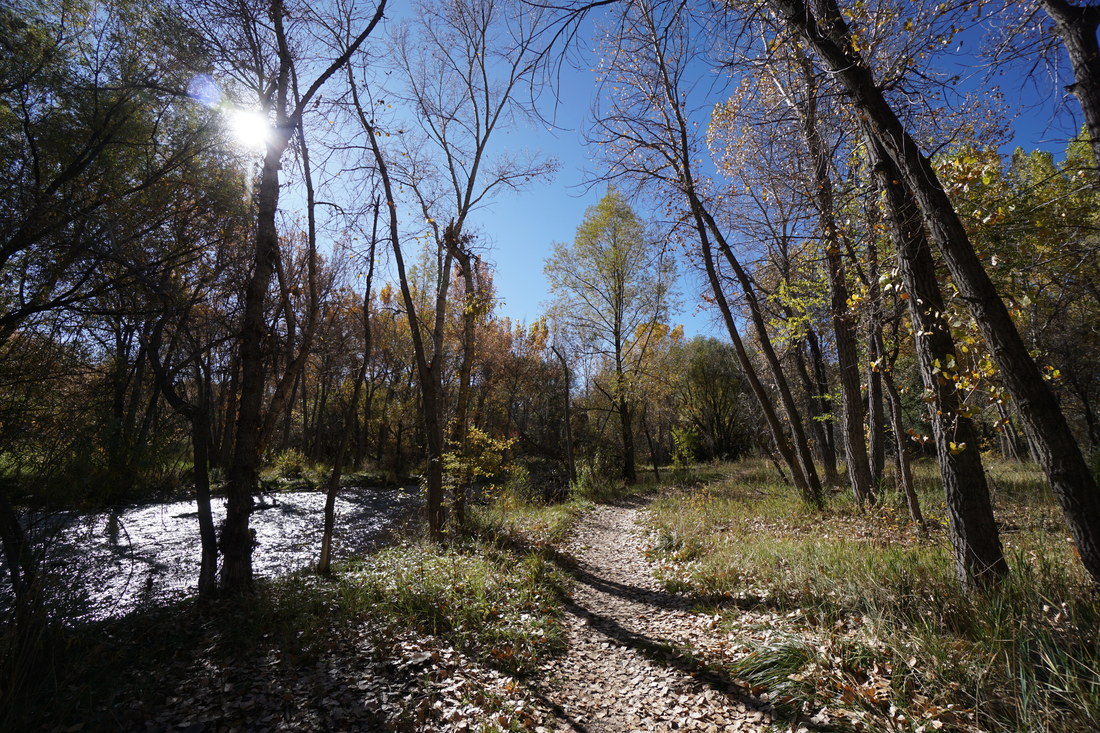
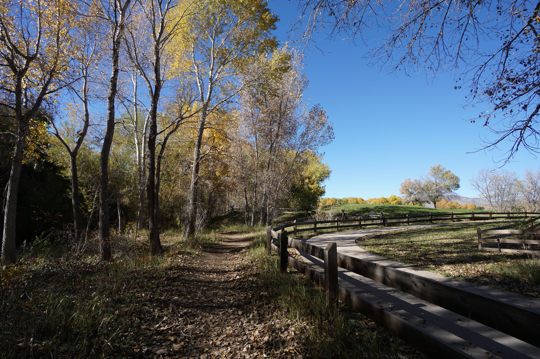
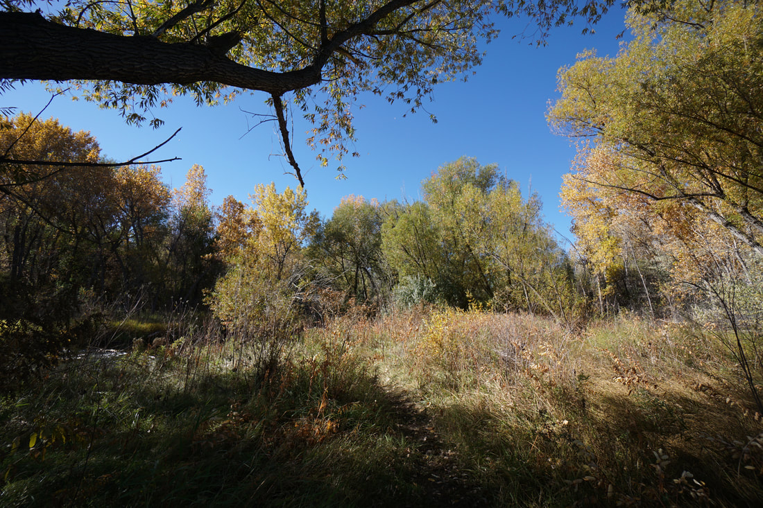
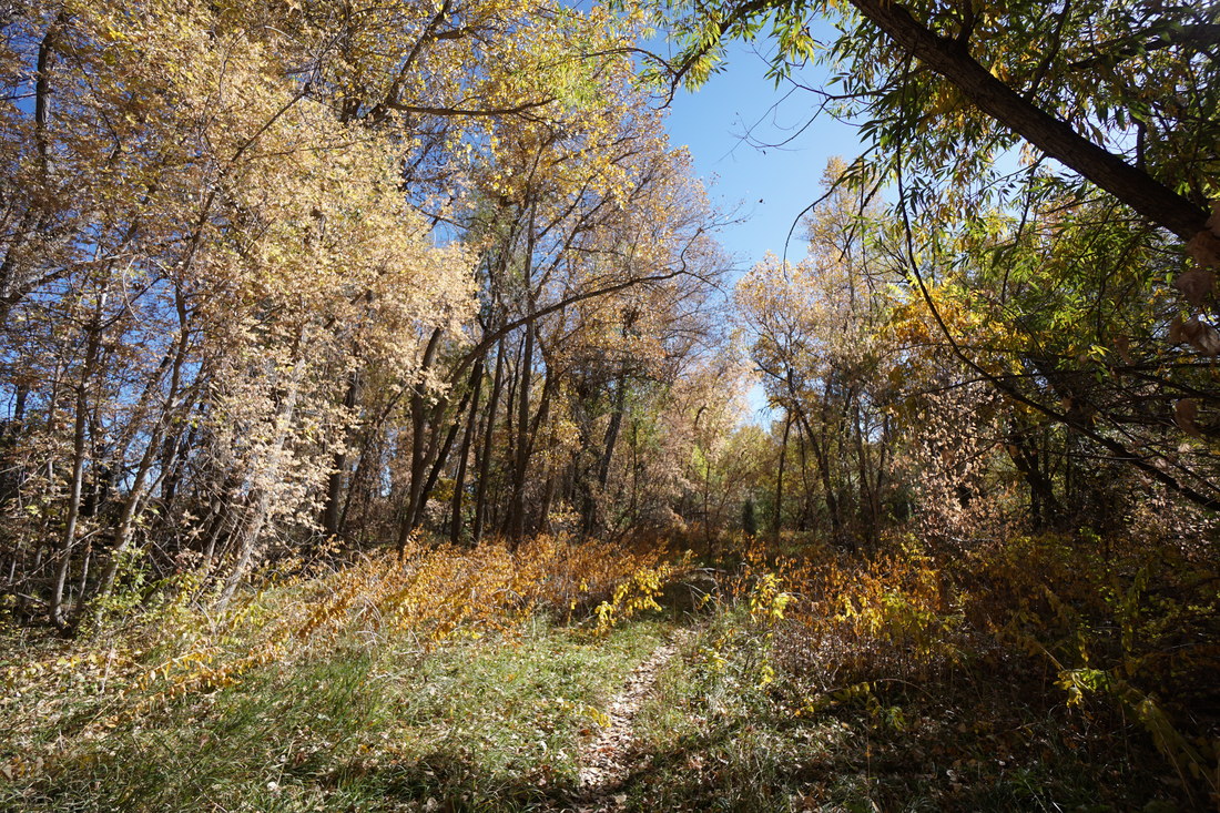
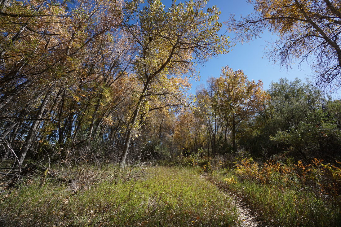
The Stone House Trail is relatively flat but weaves through thick Cottonwood forest (perfect for fall colors) and follows Bear Creek as it flows down from Bear Creek Lake Reservoir. From Estes Street, the trail starts off by following a wide dirt road alongside the Lakewood agricultural center. After the gated facility, the trail splits off to the left and enters the forest. After crossing a small bridge the trail will fork, head straight to follow the trail that leads to Bear Creek and follows it for a few minutes before returning to the wider path. Continue along the wide path passing a beautiful wetland pond and at the next sign, bear right and follow the trail heading to the north. Before long you'll need to cross S. Kipling Street to pick up the trail on the other side.
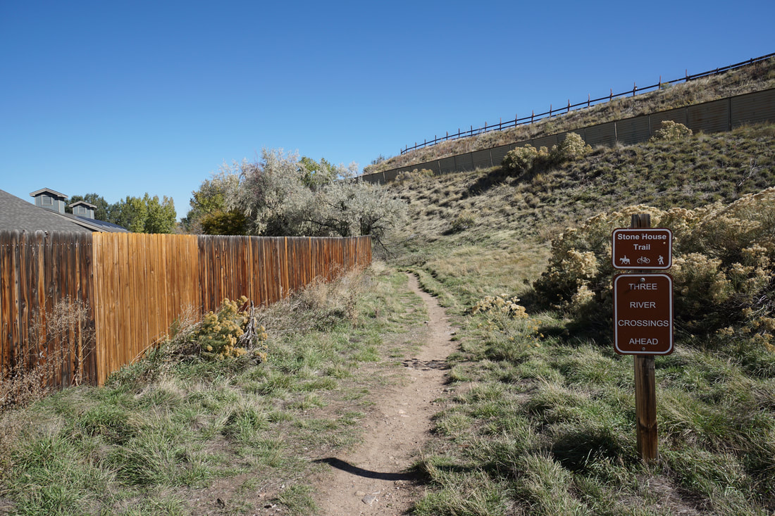
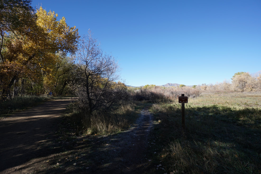
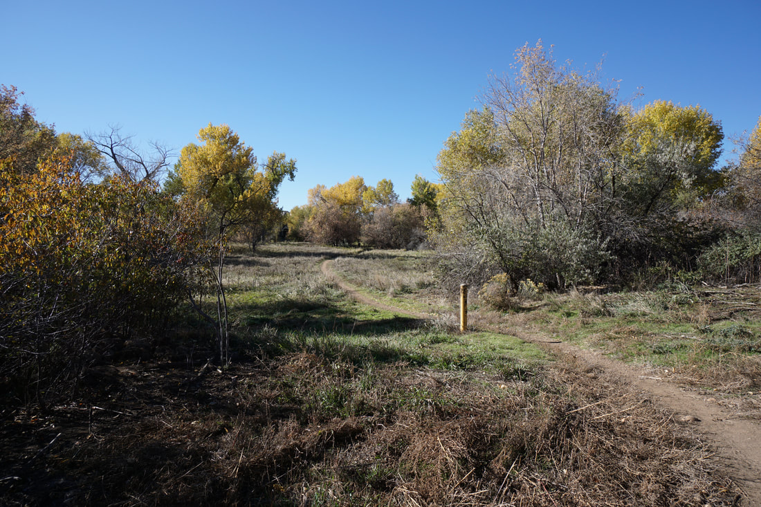
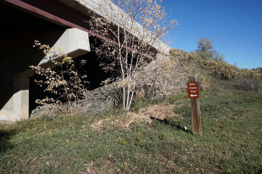
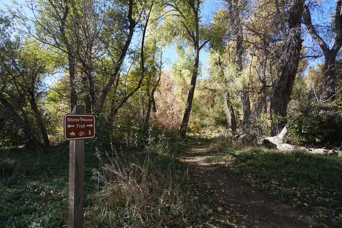
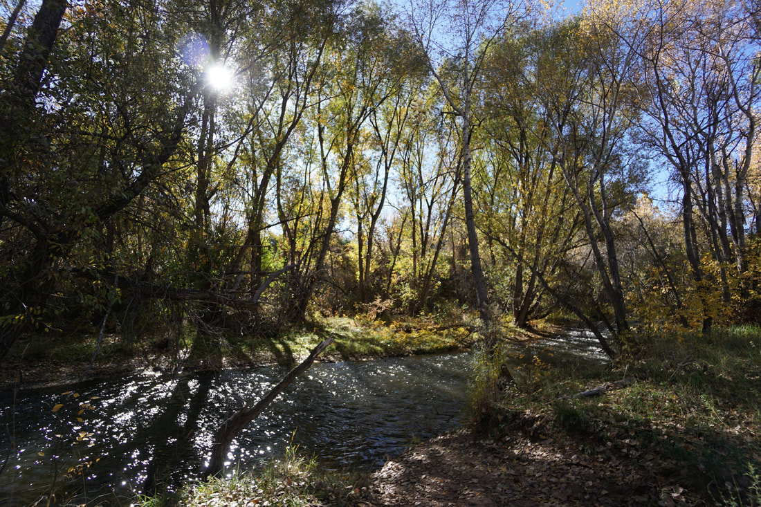
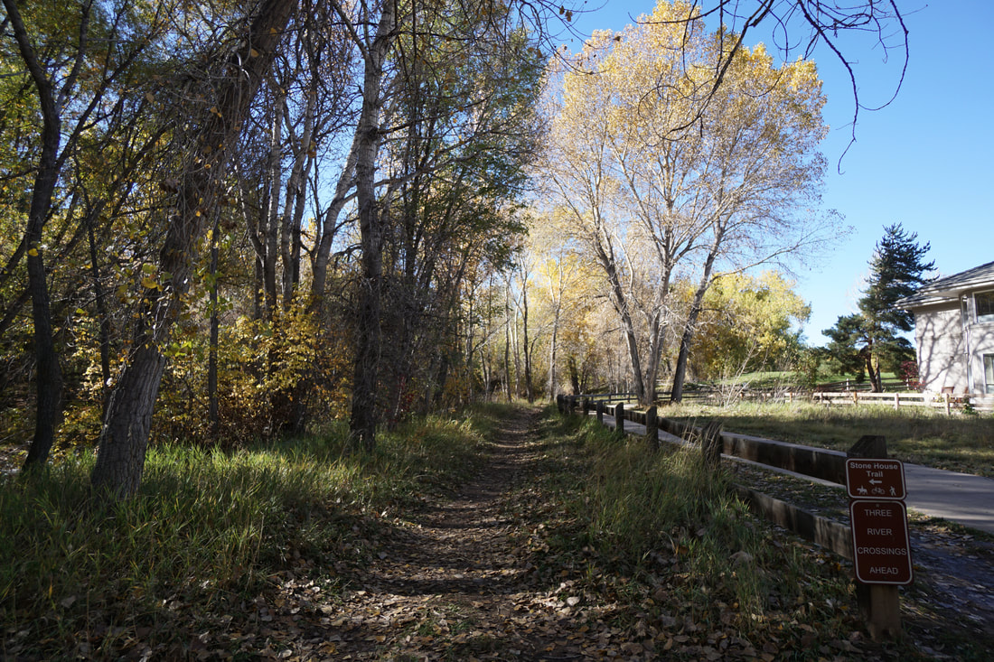
The trail continues, behind a residential area and soon intersects with the Bear Creek Trail as it passes under Kipling Parkway. On the far side of the underpass, the Stone House Trail continues, branching off the Bear Creek Trail to the left. For the next section the trail switches between paralleling Bear Creek, and paralleling the Bear Creek Trail until you see the sign for the "Three River Crossings."
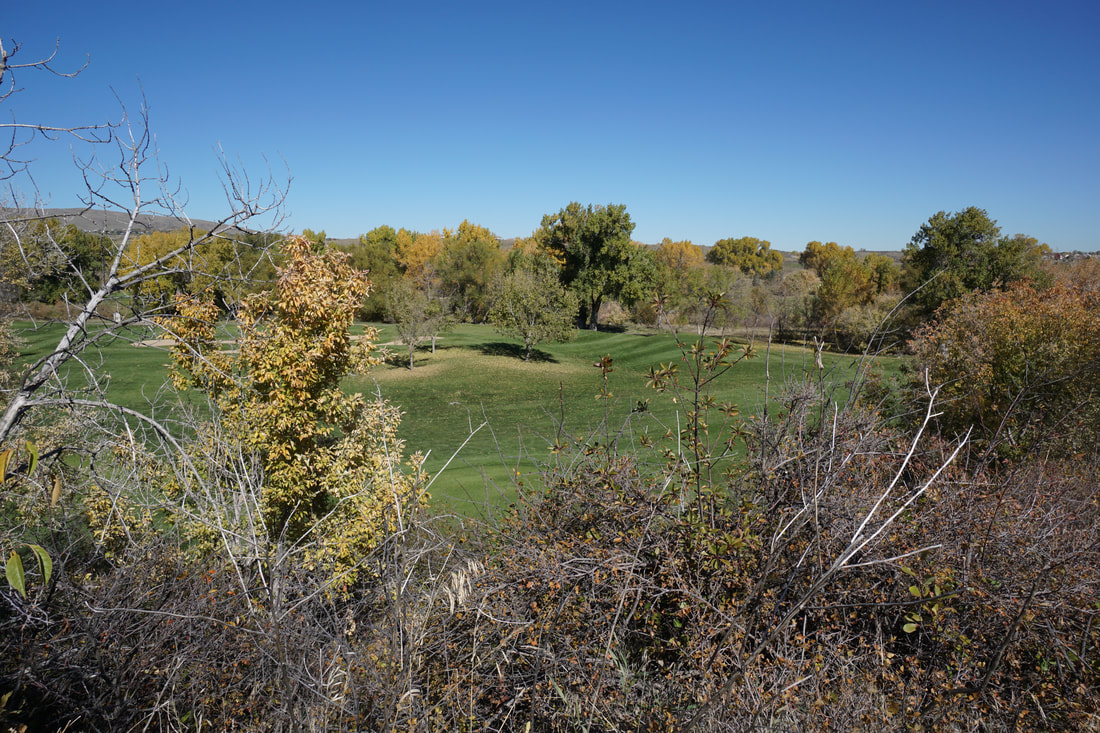
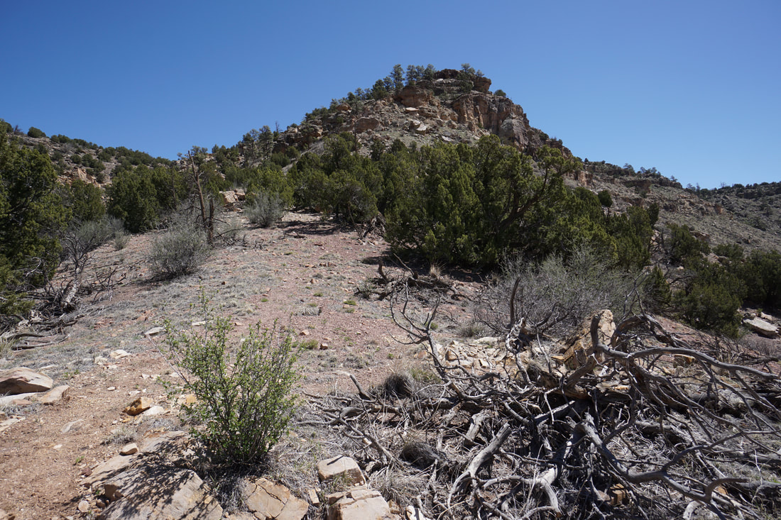
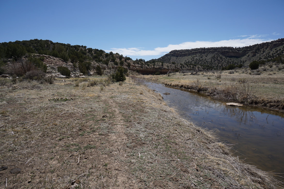
Just beyond the crossing sign, at the golf course, the Bear Creek Trail diverts to the north and the Stone House Trail diverts to the south. Following the trail for a few minuets will lead you to the first creek crossing. If the water level is low enough and you can find a place to cross, then great, continue on your adventure. Otherwise, this will be your turn around spot. You can continue hiking for another few minuets if you follow a faint trail along the northern banks of Bear Creek. The trail will follow the creek to the golf course and make a small loop before returning to the creek crossing. Head back the way you came, or follow the Bear Creek Trail for a little variation, and a slightly shorter return. (Trail description continues after the gallery)
Unfortunately, at this time, the trail is impassible about 2 miles east of Estes Street. At this point in the trail, it crosses Bear Creek three times. In the past these crossings were fun puzzles to figure out. However, due to either greater snow in the mountains or higher releases from Bear Creek Lake, the 1st and the 3rd (and maybe the 2nd...) stream crossings are wide and deep with no way of crossing (except for wading through the water, which I can not recommend. That being said, the trail is still worth checking out, especially in the fall when the trees are absolutely beautiful.
The Stone House Trail is relatively flat but weaves through thick Cottonwood forest (perfect for fall colors) and follows Bear Creek as it flows down from Bear Creek Lake Reservoir. From Estes Street, the trail starts off by following a wide dirt road alongside the Lakewood agricultural center. After the gated facility, the trail splits off to the left and enters the forest. After crossing a small bridge the trail will fork, head straight to follow the trail that leads to Bear Creek and follows it for a few minutes before returning to the wider path. Continue along the wide path passing a beautiful wetland pond and at the next sign, bear right and follow the trail heading to the north. Before long you'll need to cross S. Kipling Street to pick up the trail on the other side.
The trail continues, behind a residential area and soon intersects with the Bear Creek Trail as it passes under Kipling Parkway. On the far side of the underpass, the Stone House Trail continues, branching off the Bear Creek Trail to the left. For the next section the trail switches between paralleling Bear Creek, and paralleling the Bear Creek Trail until you see the sign for the "Three River Crossings."
Just beyond the crossing sign, at the golf course, the Bear Creek Trail diverts to the north and the Stone House Trail diverts to the south. Following the trail for a few minuets will lead you to the first creek crossing. If the water level is low enough and you can find a place to cross, then great, continue on your adventure. Otherwise, this will be your turn around spot. You can continue hiking for another few minuets if you follow a faint trail along the northern banks of Bear Creek. The trail will follow the creek to the golf course and make a small loop before returning to the creek crossing. Head back the way you came, or follow the Bear Creek Trail for a little variation, and a slightly shorter return. (Trail description continues after the gallery)


In order to give you a complete view of the Stone House Trail (your welcome...), I then drove to the other end of the Stone House trail and hiked it back to the creek crossings to check on the water levels. As I feared, the third creek crossing (about .5 miles from the western end of the Stone House Trail was also completely impassible. This is really too bad as I remember the section of trail between these crossings to be the most scenic part of the trail.
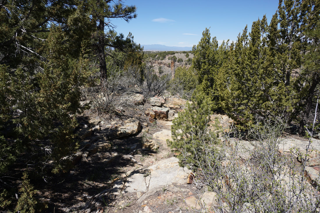
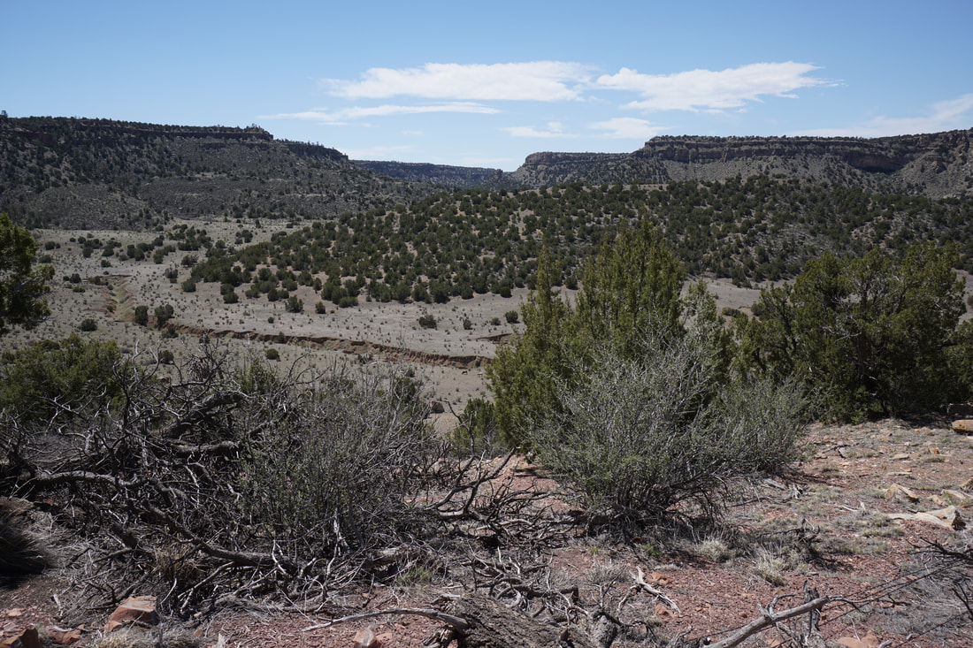
If the water levels are low enough and you are able to hike to the western end of the Stone House Trail, I highly recommend that you continue hiking up to the summit of Mt. Carbon. The Stone House trail ends just west of the Fox Hollow Golf Course, however as the Stone House Trail ends, it links up with the Mount Carbon Loop. Continue west along the Mt. Carbon Loop for 1 more mile to reach the summit Mt. Carbon. The trail will switchback up along the south-eastern end of the Bear Creek Dam. Following this trail provides phenomenal views of Bear Creek Lake and the surrounding foothills, including a view of Red Rocks Amphitheater, Green Mountain, and the Dakota Hogback. The view from Mt. Carbon in the fall is especially scenic as you'll long down on long swaths of yellow cottonwood trees surrounding the lake. If you so desire, you can continue hiking the many miles of trails in Bear Creek Lake Regional Park. However, this does make for a good turn around spot. Returning to the Stone House Parking area from Mt. Carbon results in a 7 mile (RT) hike, not too shabby...
If the water levels are low enough and you are able to hike to the western end of the Stone House Trail, I highly recommend that you continue hiking up to the summit of Mt. Carbon. The Stone House trail ends just west of the Fox Hollow Golf Course, however as the Stone House Trail ends, it links up with the Mount Carbon Loop. Continue west along the Mt. Carbon Loop for 1 more mile to reach the summit Mt. Carbon. The trail will switchback up along the south-eastern end of the Bear Creek Dam. Following this trail provides phenomenal views of Bear Creek Lake and the surrounding foothills, including a view of Red Rocks Amphitheater, Green Mountain, and the Dakota Hogback. The view from Mt. Carbon in the fall is especially scenic as you'll long down on long swaths of yellow cottonwood trees surrounding the lake. If you so desire, you can continue hiking the many miles of trails in Bear Creek Lake Regional Park. However, this does make for a good turn around spot. Returning to the Stone House Parking area from Mt. Carbon results in a 7 mile (RT) hike, not too shabby...