GO HIKE COLORADO
Get in Touch:
  • HOME
  • ABOUT
  • HIKES BY REGION
    • DENVER AREA >
      • Denver Mountain Parks
      • Jefferson County Open Space
      • Lakewood Parks
      • Denver Area Greenways
    • BOULDER AREA
    • DOUGLAS COUNTY
    • FORT COLLINS AREA
    • COLORADO SPRINGS AREA
    • FRONT RANGE
    • TENMILE & MOSQUITO RANGES
    • GORE RANGE
    • SANGRE DE CRISTO MOUNTAINS
    • PARK RANGE
    • SAWATCH RANGE
    • ELK MOUNTAINS
    • SAN JUAN MOUNTAINS
    • THE FLAT TOPS
    • GRAND MESA
    • COLORADO PLATEAU
    • EASTERN PLAINS
  • NATIONAL PARK HIKES
    • BENT'S OLD FORT NATIONAL HISTORIC SITE
    • BLACK CANYON OF THE GUNNISON NATIONAL PARK
    • COLORADO NATIONAL MONUMENT
    • CURECANTI NATIONAL RECREATION AREA
    • DINOSAUR NATIONAL MONUMENT
    • FLORISSANT FOSSIL BEDS NATIONAL MONUMENT
    • MESA VERDE NATIONAL PARK
    • ROCKY MOUNTAIN NATIONAL PARK
    • GREAT SAND DUNES NATIONAL PARK
    • HOVENWEEP NATIONAL MONUMENT
    • SAND CREEK MASSACRE NATIONAL HISTORIC SITE
    • YUCCA HOUSE NATIONAL MONUMENT
  • HIKES BY CATEGORY
    • HIKES TO ALPINE LAKES
    • HIKES TO PEAKS & PASSES
    • HIKES THROUGH CANYONS
    • HIKES WITH FALL COLORS
    • HIKES ALONG THE I-70 CORRIDOR
    • HIKES ON PAVED TRAILS
    • HIKES FOR KIDS
    • HIKES TO WATERFALLS
    • HIKES ALONG RIVERS
    • HIKES WITH ROCK FORMATIONS
    • HIKES WITH WILDFLOWERS
    • WINTER HIKES
  • NEWS
  • WEBCAMS
  • $UPPORT GHC
  • INTERACTIVE MAP

Stone House Trail
(Estes to Wadsworth)

Bear Creek Greenbelt

Date Hiked: October 29, 2014

​Distance: 2.3 mi (RT)
Elevation Gain: 300ft
Elevation Min/Max: 5,338 to 5,465ft
Managing Agency: City of Lakewood Parks
Fee: None

Bear Creek Greenbelt Website
Picture

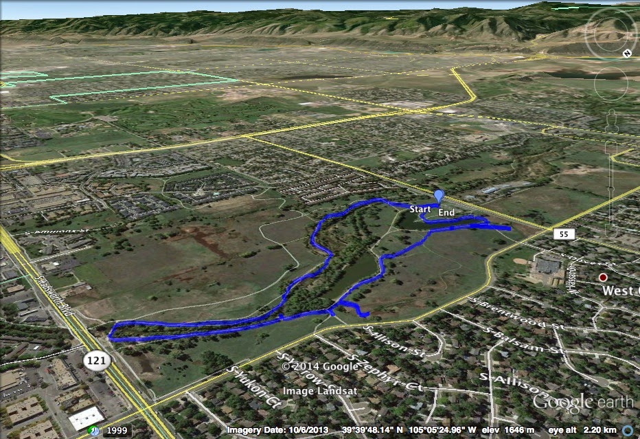
Directions:  The trailhead is located at the Stone House Parking Area on Estes Street.  From Wadsworth Blvd, turn East on Yale Ave and South on Estes St. 

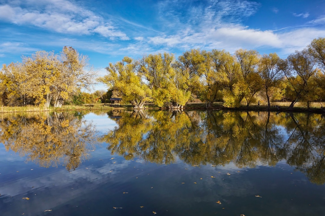
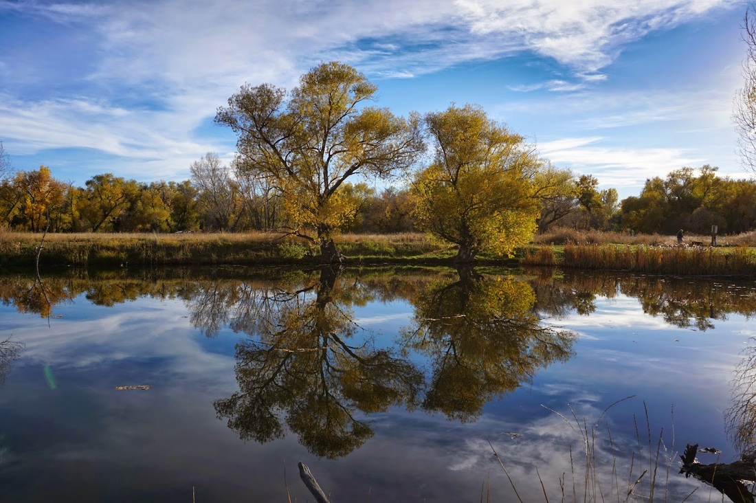
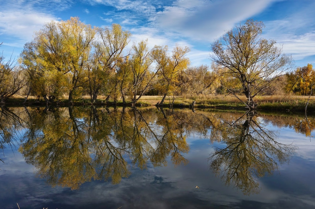
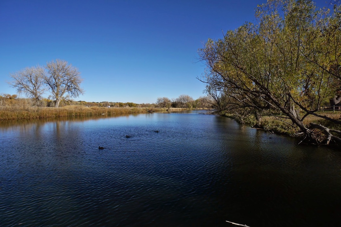
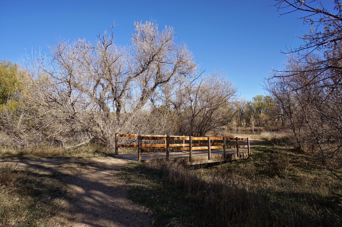
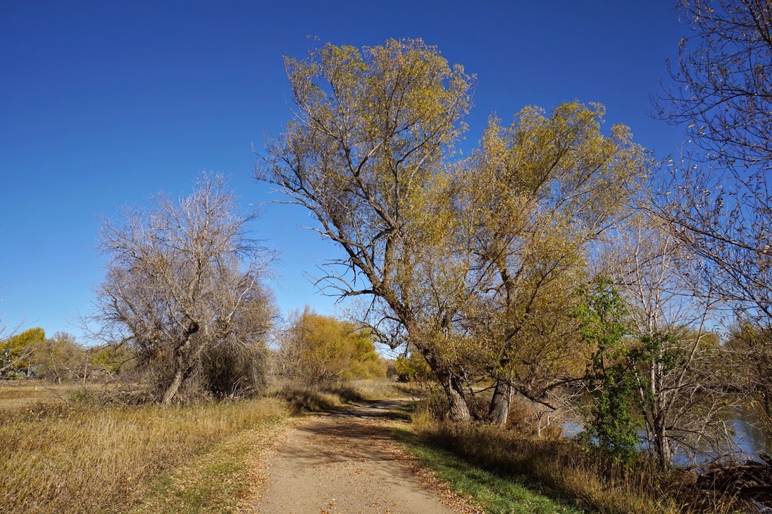
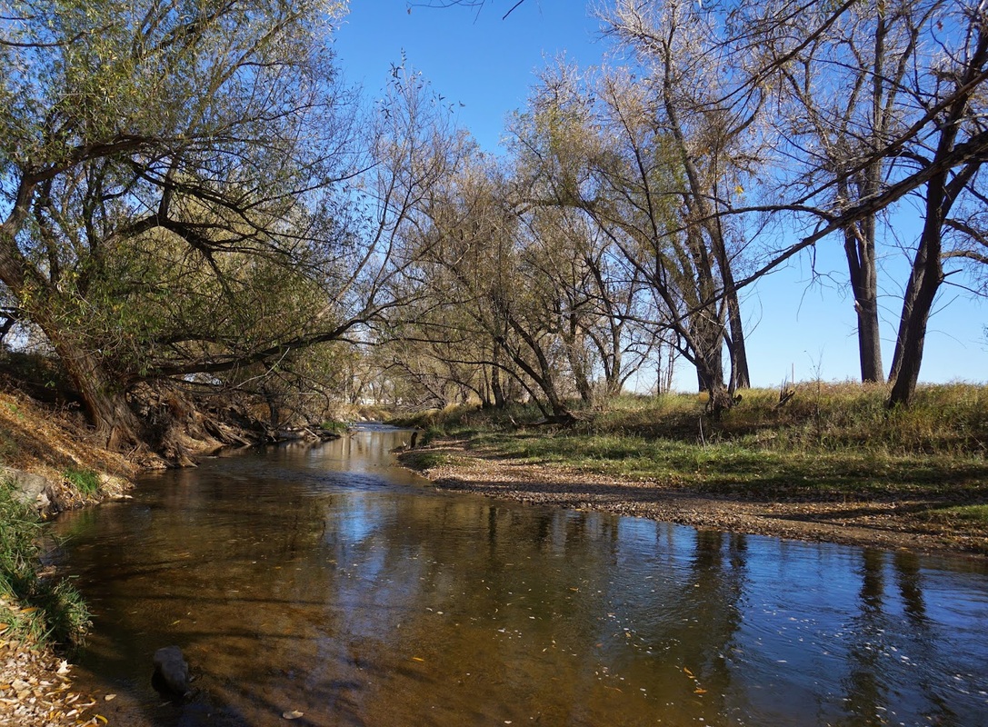
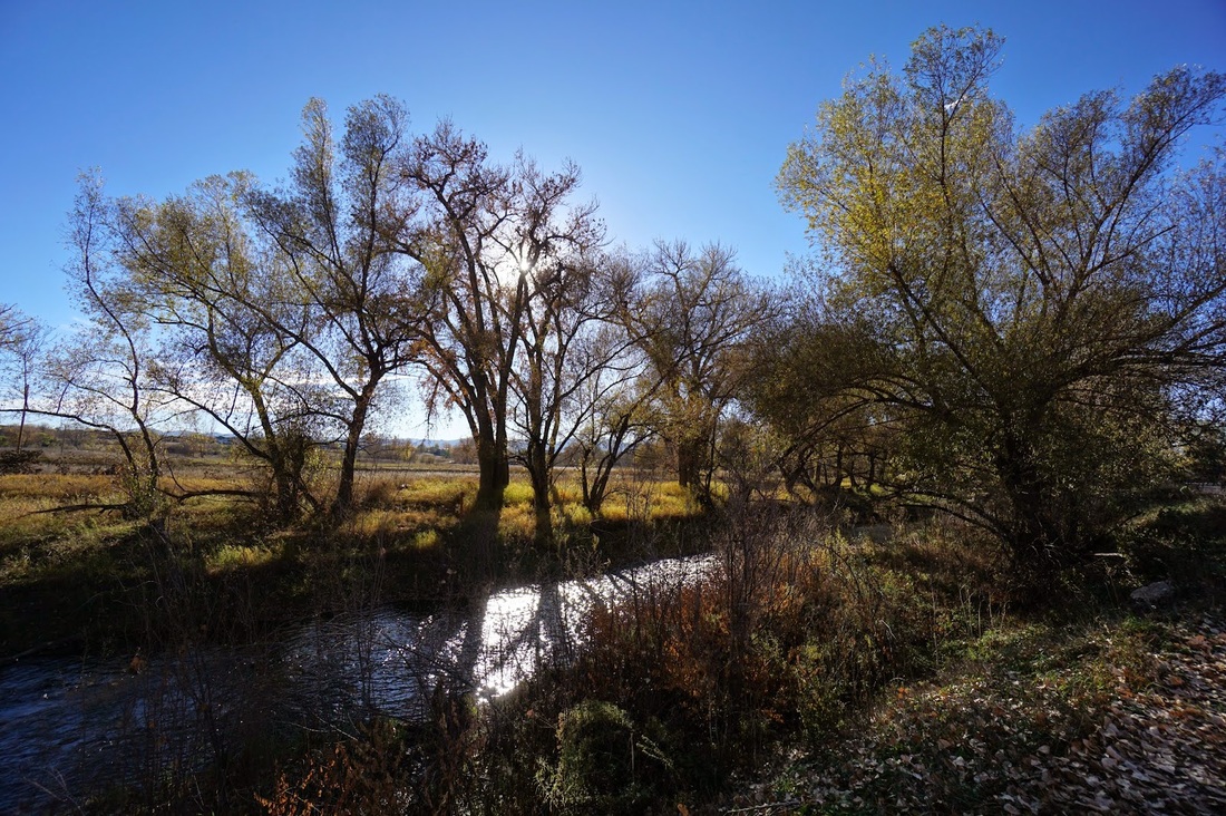
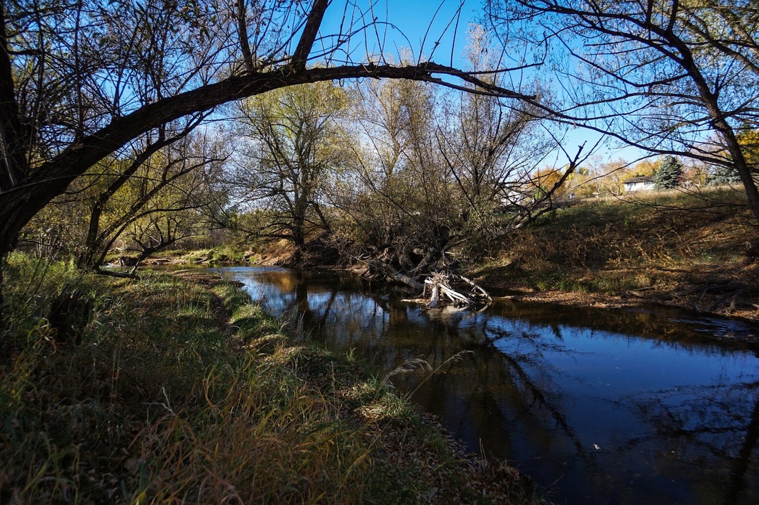
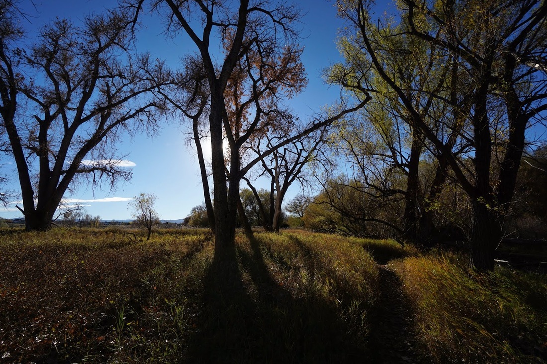
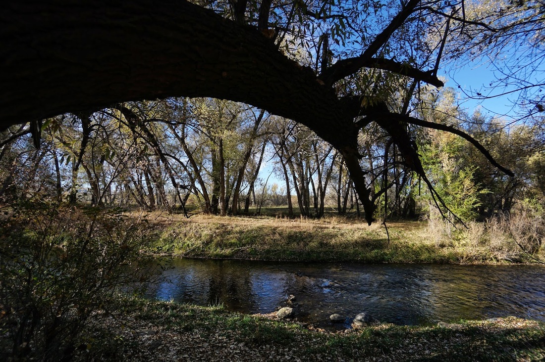
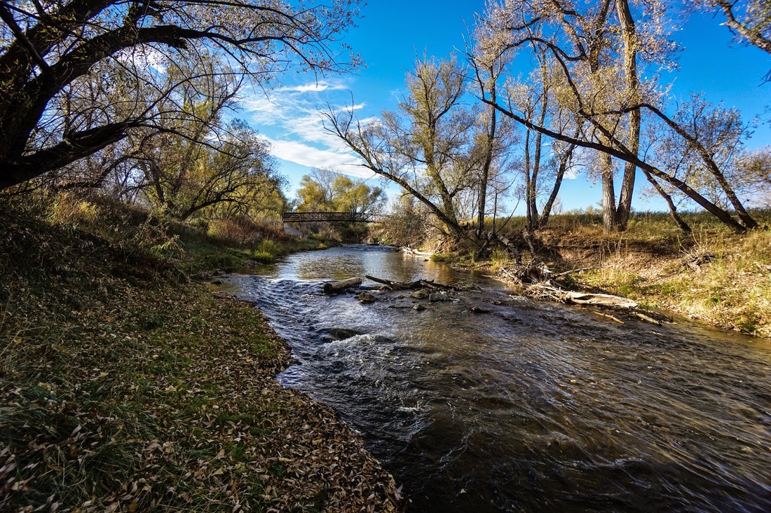
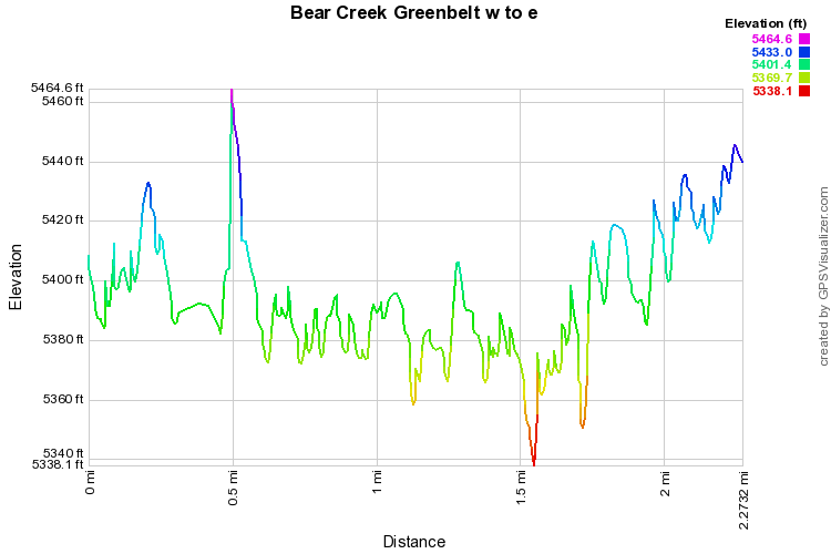
Denver has many greenbelts, Cherry Creek, S. Platte, Clear Creek...but the greenbelt along Bear Creek may just be my favorite.  The open space park between Wadsworth Blvd and Estes Street along Bear Creek is a great place for a nice, easy, and surprisingly scenic hike.  From the parking area, the trail follows the north shore of a large pond, crosses a bridge and enters an open meadow.  Cross another bridge and turn a corner to reach the second pond.  When you reach the far side of the pond you'll come to a 4 way intersection.  Heading left takes you to a small boardwalk crossing a wetland area.  Go straight to follow Bear Creek to Wadsworth Blvd.  Cross a bridge just before the Wadsworth Overpass and head back west.  You can pick up the Stone House Trail here as it parallels the Bear Creek Trail.  While the Bear Creek Trail is a paved biking path, the Stone House Trail caters more to hikers.  The dirt trail takes you along the shore of Bear Creek and in the fall, the colors are fantastic.   Keep following the Stone House Trail making sure that you take a few of the small side trails to explore Bear Creek.  Once you get back to the parking area (about a mile from Wadsworth) you'll cross another bridge and find yourself back where you started.

Again, this is a beautiful area and if you want a longer hike, try following the Stone House Trail west.  It will lead you through more cottonwood forests, cross Bear Creek many times and eventually (about 3 miles in) take you to Bear Creek Lake Park and the summit of Mt. Carbon. 
Powered by Create your own unique website with customizable templates.