
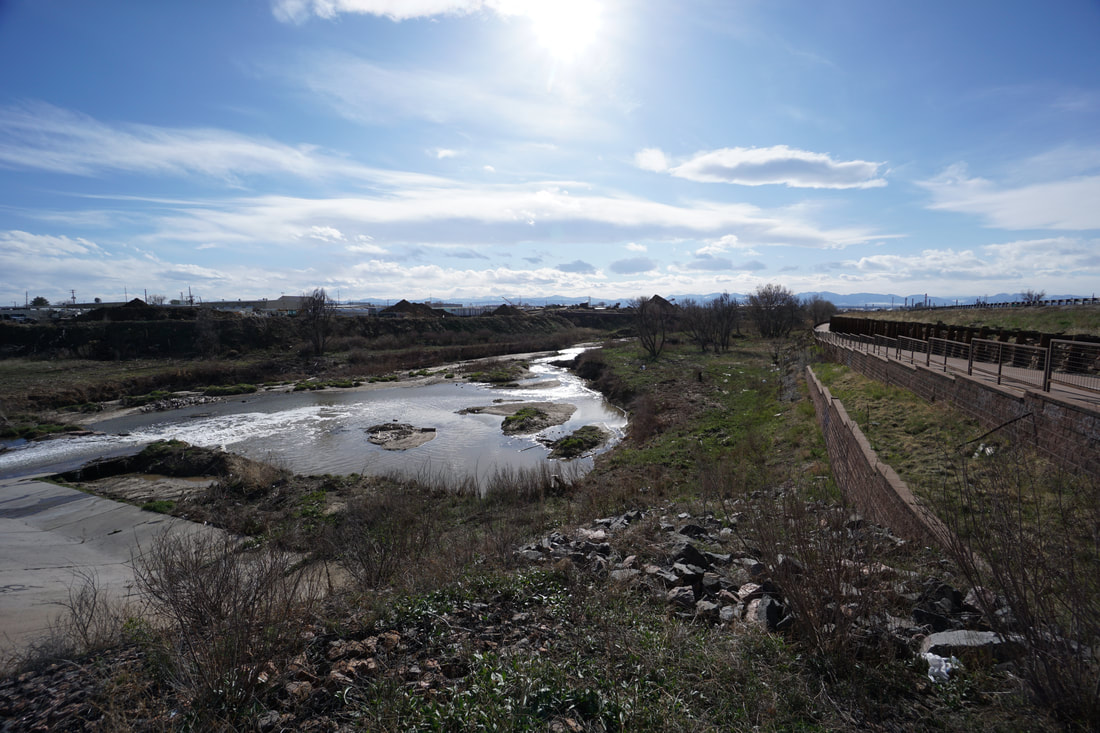
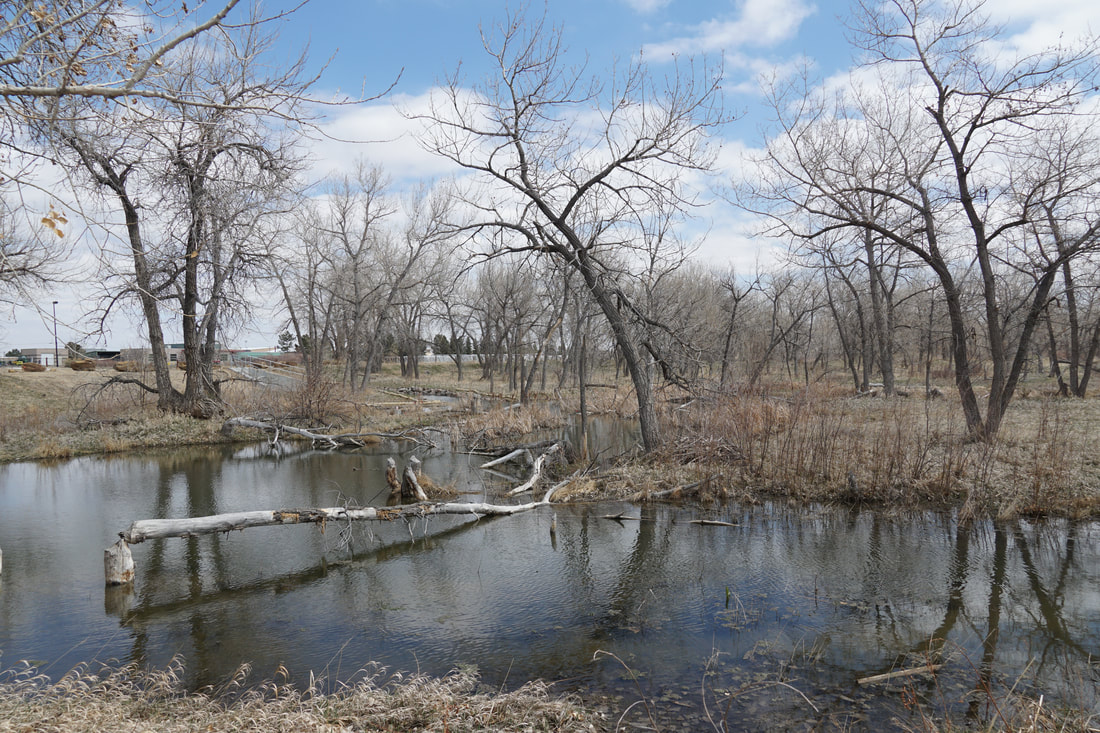
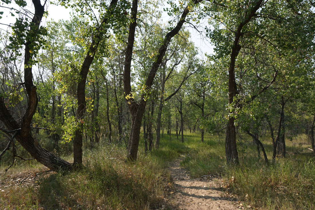
The Sand Creek Greenway runs from the South Platte River on the West to the Coal Creek Arena at the Arapaho County Fairgrounds on the East. The Greenway was designated as a National Recreation Trail in 2012 and provides recreational opportunities for hikers/walkers; bikers; and equestrians. The Greenway is extremely scenic and unique in that a good portion of the eastern part of the trail is not paved. The natural surface and crushed gravel trail makes it uniquely suitable for hiking. Additionally, as the name suggests, the bed of Sand Creek, and the natural surface trails that parallel it, are make up of deep thick sand. This surface adds to the wilderness feel of the corridor and makes hiking it an even more pleasurable experience.
From West to East:
Dahlia Trailhead to Overlook
1 mi (RT); minimal elevation gain |
Bluff Lake Nature Center
1.5 mi (RT); minimal elevation gain |
Sand Creek Park
1 mi (RT); minimal elevation gain |
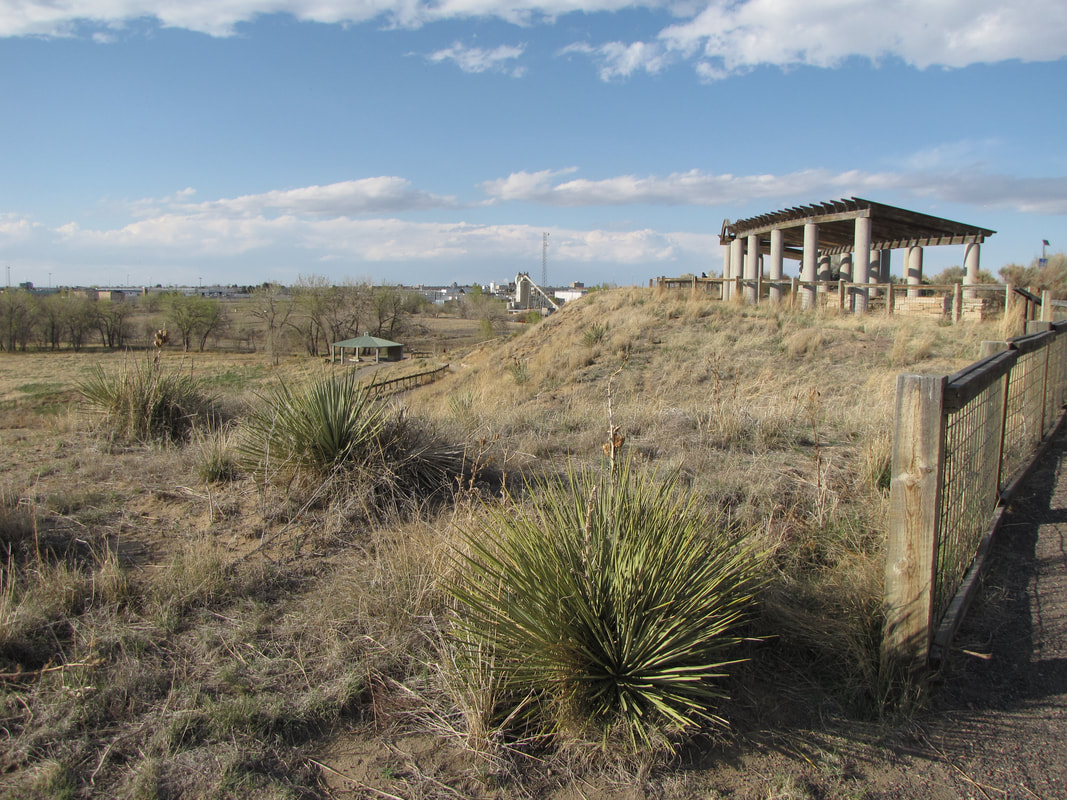
Star K Ranch
2.7 mi (RT); minimal elevation gain |
Triple Creek Trailhead South to Environmental Park
3 mi (RT); 140 ft elevation gain |
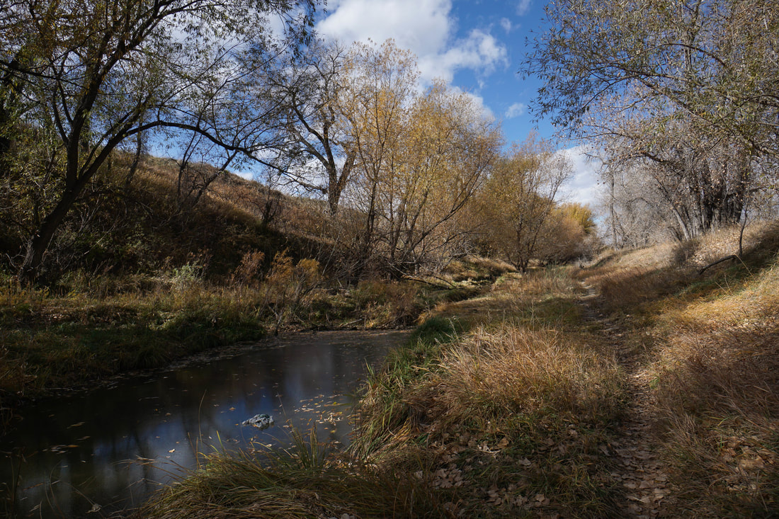
Sand Creek Riparian Preserve
1.4 mi (RT); minimal elevation gain |
