|
DIRECTIONS: The Dahlia Trailhead is located at the intersection of Hwy 287/36 and East 56th Ave.
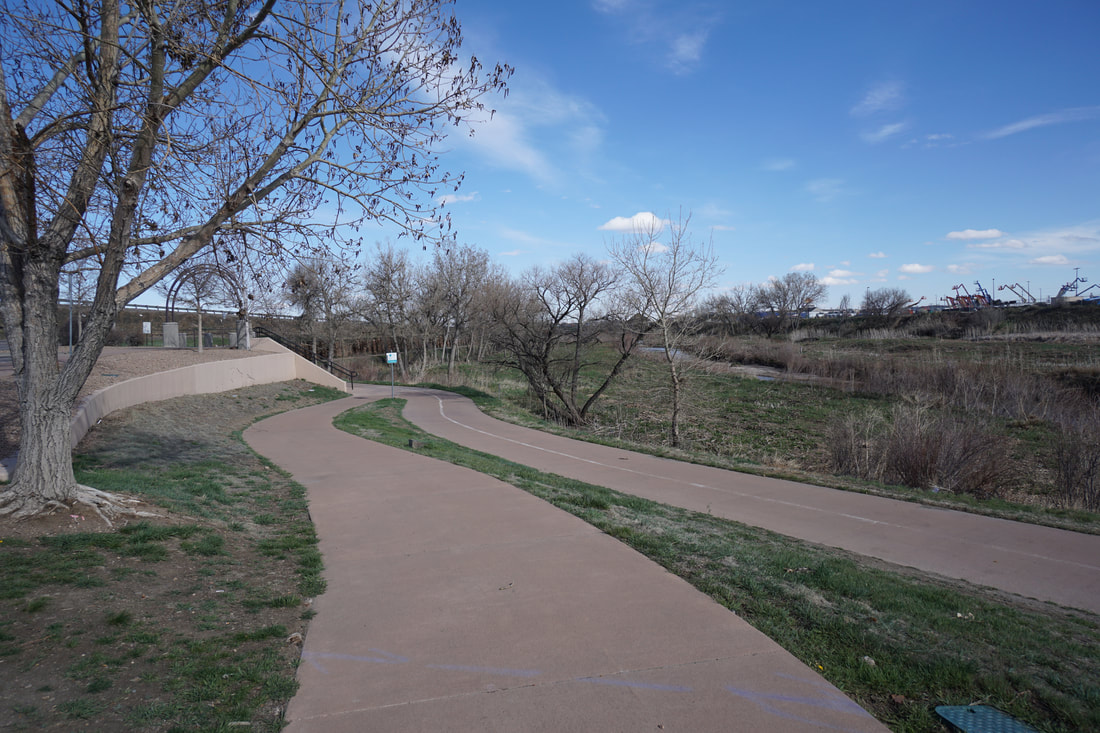
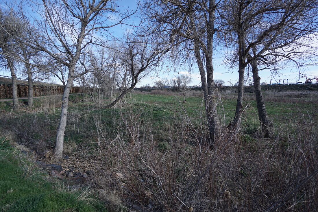
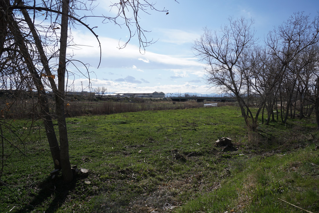
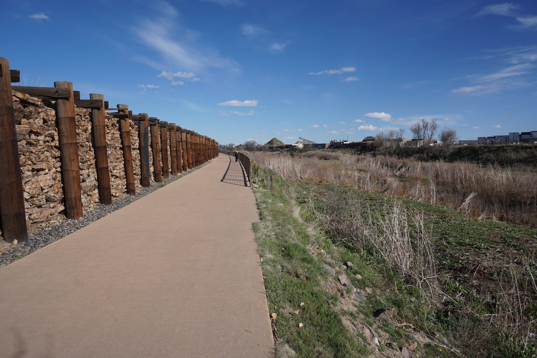
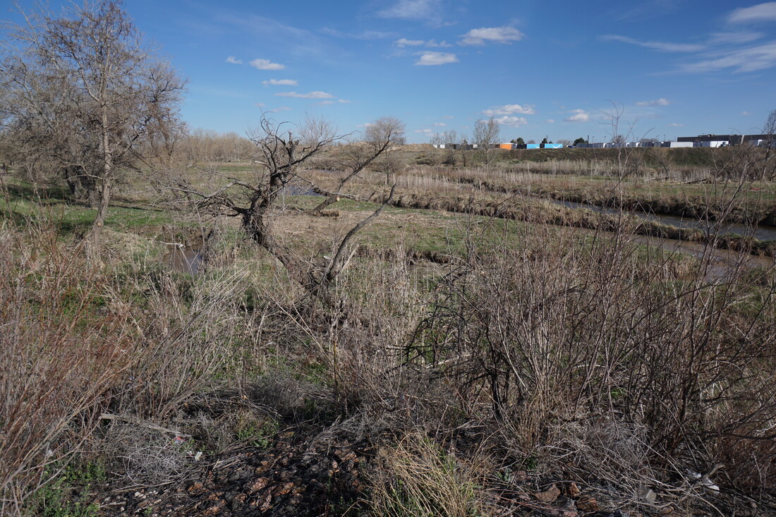
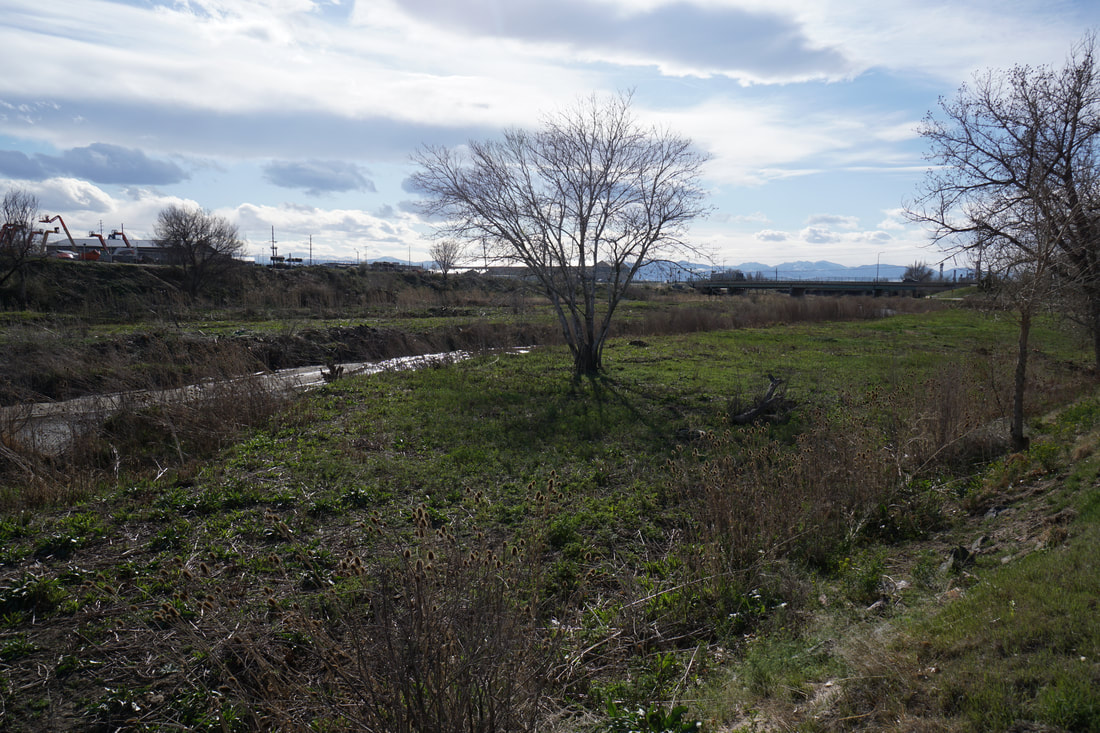
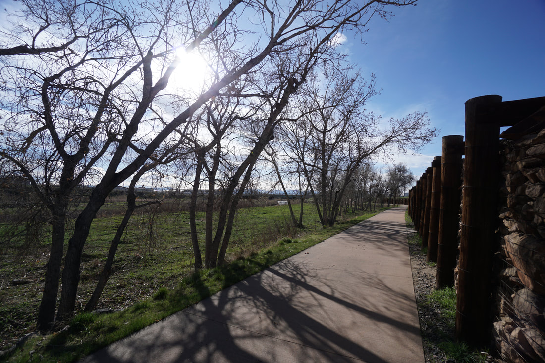
The Sand Creek Greenway is generally one of the nicer long multiple use recreational trails running through the Denver Metro Area. This segment is a nice portion of the trail, however, this area is close to some of Denver and Adams Counties' more industrial areas. Honestly, depending on the day, the odors and emissions from the refineries can make this segment less pleasant than it should be.
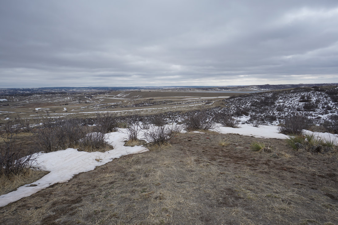
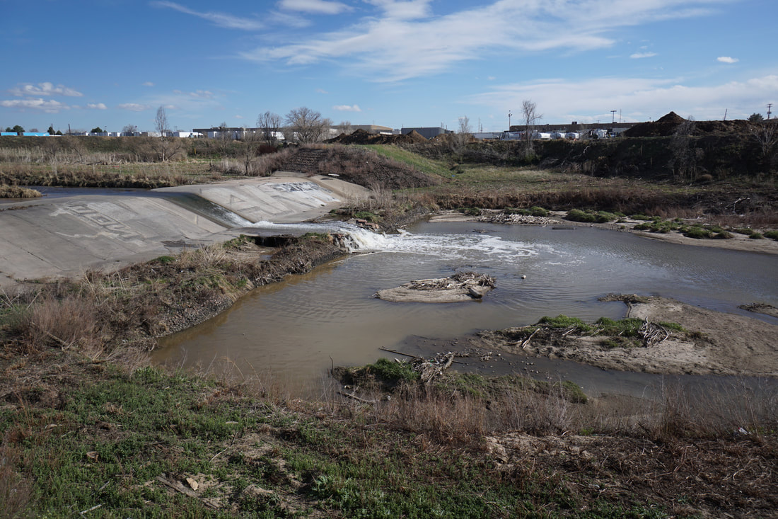
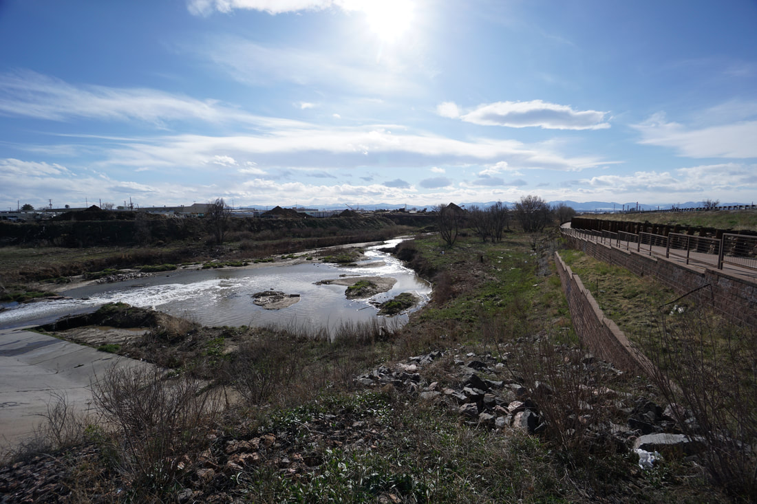
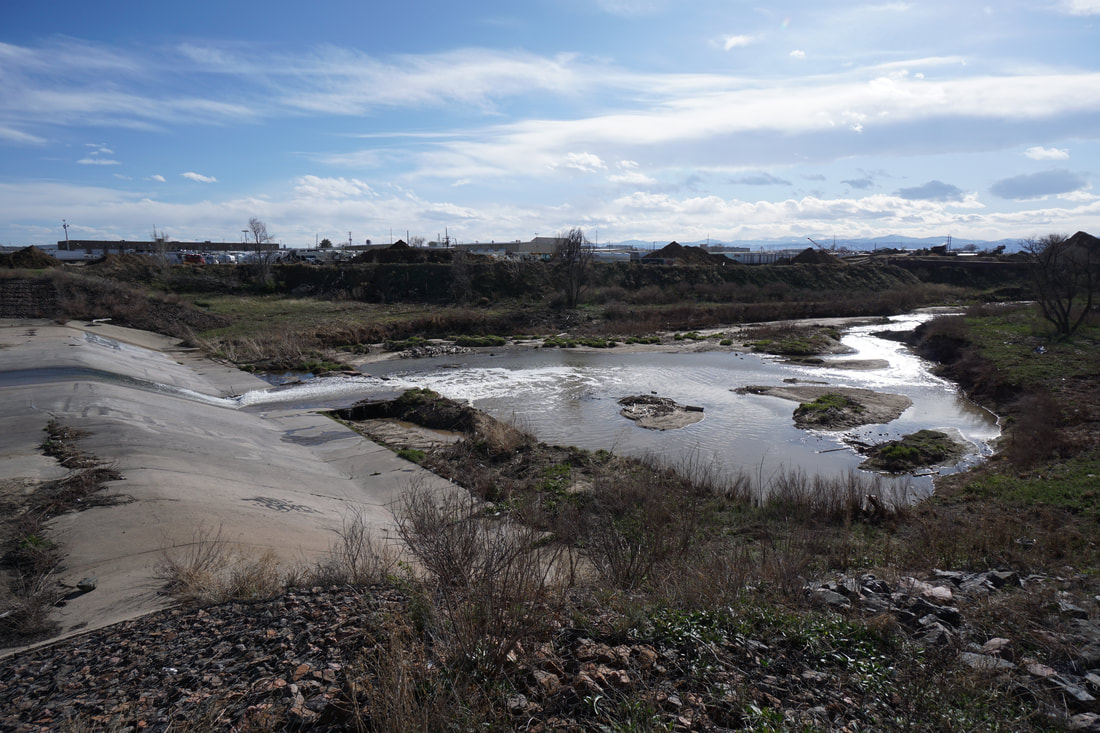
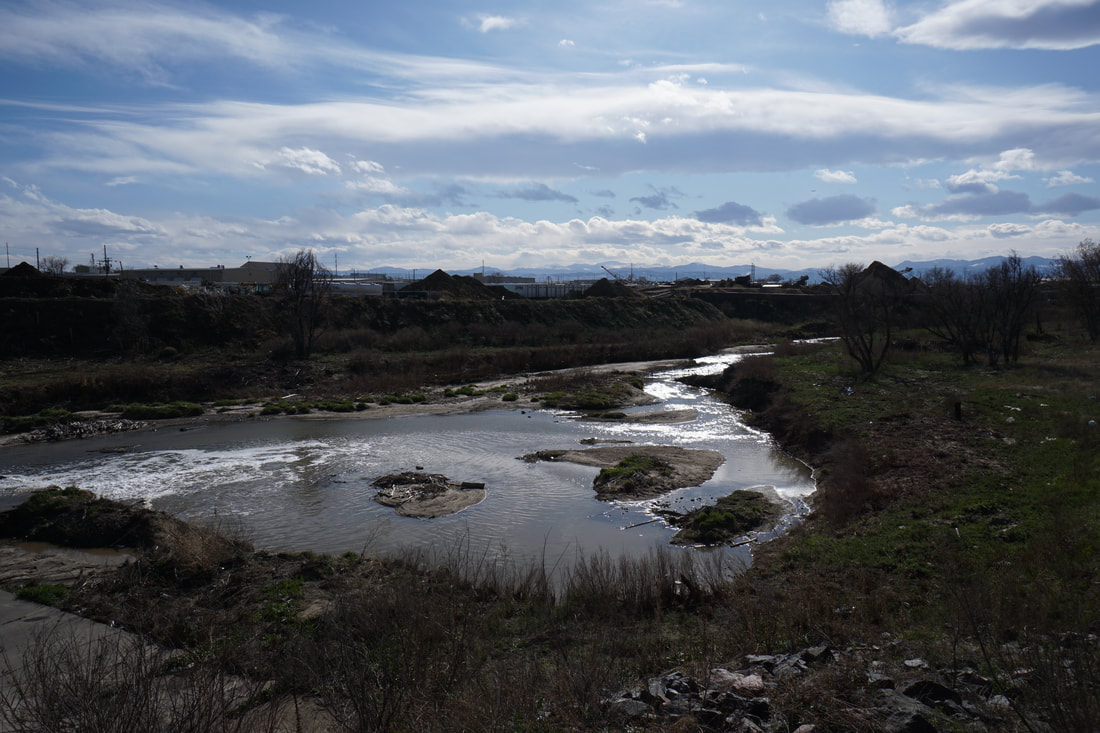
That being said, there is a nice overlook just about 1/2 a mile from the Dahlia Trailhead. Therefore, you can make a short walk out of just visiting the overlook if you want to explore this area. The overlook provides a nice view of a waterfall/spillway and a good view to the east to the Front Range Mountains on a clear day. This is a good hike to get a feel for this portion of the Sand Creek Greenway but honestly if you are looking for a walk through a less industrial area then check out the portions of the trail to the east or closer to the South Platte River. |
|
- HOME
- ABOUT
-
HIKES BY REGION
-
NATIONAL PARK HIKES
- BENT'S OLD FORT NATIONAL HISTORIC SITE
- BLACK CANYON OF THE GUNNISON NATIONAL PARK
- COLORADO NATIONAL MONUMENT
- CURECANTI NATIONAL RECREATION AREA
- DINOSAUR NATIONAL MONUMENT
- FLORISSANT FOSSIL BEDS NATIONAL MONUMENT
- MESA VERDE NATIONAL PARK
- ROCKY MOUNTAIN NATIONAL PARK
- GREAT SAND DUNES NATIONAL PARK
- HOVENWEEP NATIONAL MONUMENT
- SAND CREEK MASSACRE NATIONAL HISTORIC SITE
- YUCCA HOUSE NATIONAL MONUMENT
- HIKES BY CATEGORY
- NEWS
- WEBCAMS
- $UPPORT GHC
- INTERACTIVE MAP
Sand Creek Greenway
Dahlia Street Trailhead - East
Date Hiked: April 14, 2020
Distance: 1 mi (RT)
Elevation Gain: Minimal
Elevation: 5,160 ft
Managing Agency: Adams County Parks
Fee: None