|
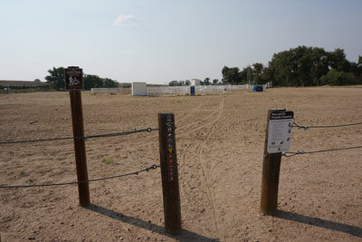
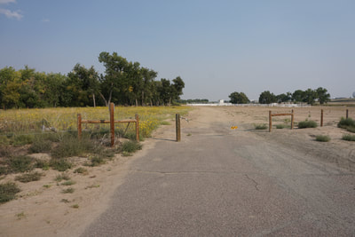
DIRECTIONS: From I-70 east of Denver, take Airport Blvd South and turn east (left) onto E. 6th Ave. Follow 6th Ave until you see the large parking lot for the Coal Creek Arena. Park here and look for the gate through the fence. Walk towards the arena and look to the right for the gate through the fence and the trailhead.
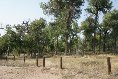
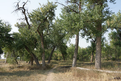
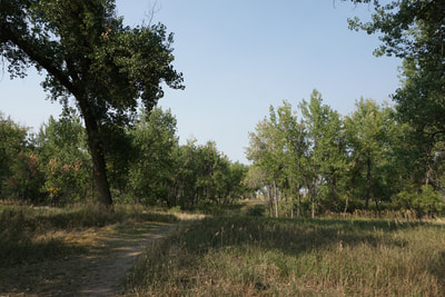
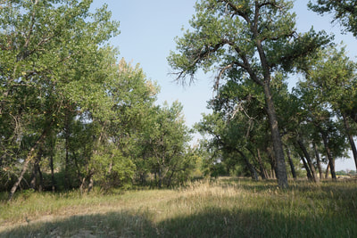
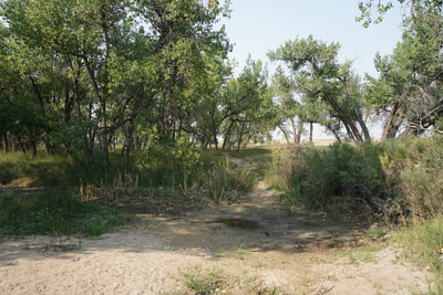
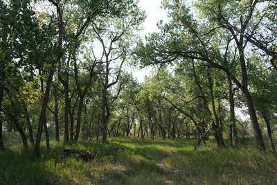
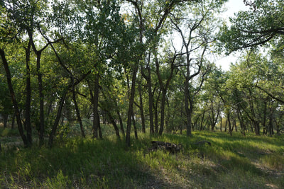
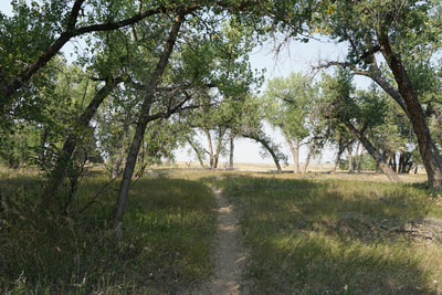
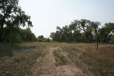
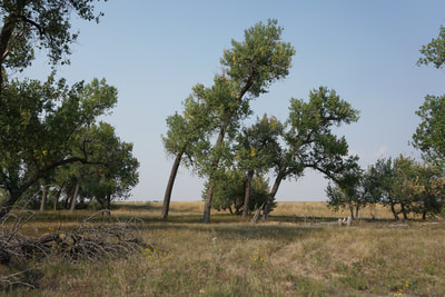
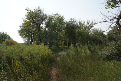
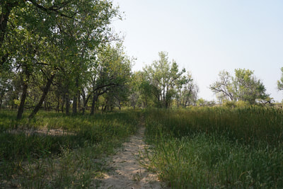
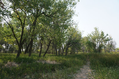
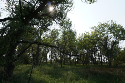
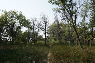
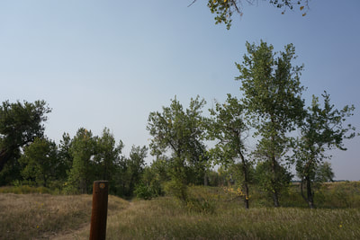
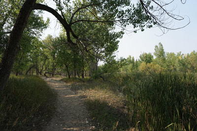
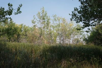
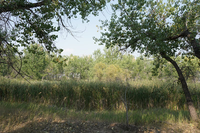
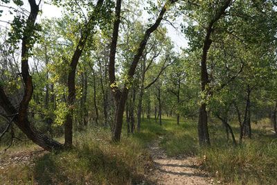
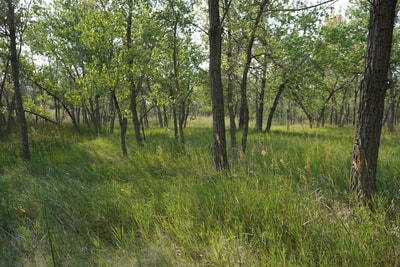
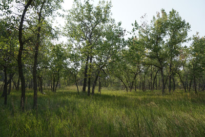
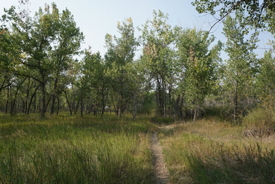
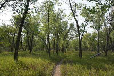
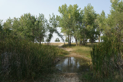
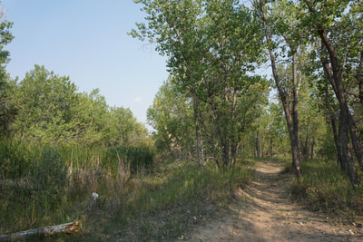
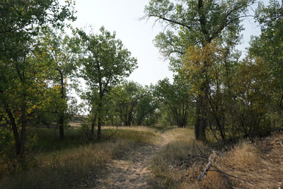
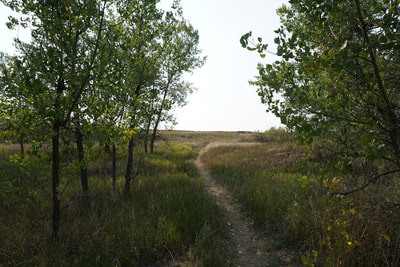
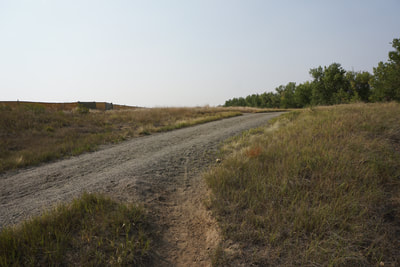
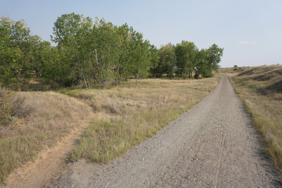
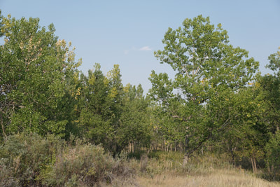
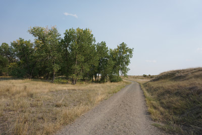
The Sand Creek Greenway is a wonderful resource and this portion of the trail is exceptionally scenic. The trail that you pick up from the arena is not the main trail, rather it is a side trail that explores the Sand Creek Riparian Preserve. True to it's name, the most interesting feature of this trail is the sandy surface. In some areas, you'll think you were hiking on a sandy beach. The deep sand makes this hike unique and the cottonwood forest and riparian habitat add to the scenic quality of this nature hike. From the trailhead follow the trail as it heads towards Sand Creek. There are many social trails in this area, but try to stay on the main trail as it crosses Sand Creek and meets up with a wider dirt road/trail. Turn left here and follow the trail east along the northern banks of Sand Creek. The trail quickly crosses Sand Creek again and continues along the southern banks. The trail is easy to follow and weaves through dense stands of Cottonwood Trees (spectacular in the fall). When you reach a fork in the trail, with the right fork crossing Sand Creek (may be impassible), stay to the left fork. Stay right at the next fork in the trail and continue until you reach the obvious gravel trail, which is the Sand Creek Greenway. Turn left and follow the Greenway back to the west. This trail will take you back to the arena and the parking area. If you want to explore further, cross Sand Creek if you can, or turn east on the Sand Creek Greenway and explore to your heart's content. |
- HOME
- ABOUT
-
HIKES BY REGION
-
NATIONAL PARK HIKES
- BENT'S OLD FORT NATIONAL HISTORIC SITE
- BLACK CANYON OF THE GUNNISON NATIONAL PARK
- COLORADO NATIONAL MONUMENT
- CURECANTI NATIONAL RECREATION AREA
- DINOSAUR NATIONAL MONUMENT
- FLORISSANT FOSSIL BEDS NATIONAL MONUMENT
- MESA VERDE NATIONAL PARK
- ROCKY MOUNTAIN NATIONAL PARK
- GREAT SAND DUNES NATIONAL PARK
- HOVENWEEP NATIONAL MONUMENT
- SAND CREEK MASSACRE NATIONAL HISTORIC SITE
- YUCCA HOUSE NATIONAL MONUMENT
- HIKES BY CATEGORY
- NEWS
- WEBCAMS
- $UPPORT GHC
- INTERACTIVE MAP
Sand Creek Riparian Preserve
Sand Creek Regional Greenway
Date Hiked: September 1, 2017
Distance: 1.4 mi (RT)
Elevation Gain: Minimal
Elevation: 5,475 ft
Trailhead Lat/Long: 39º 43' 24" N; 104º 45' 04" W
Managing Agency: Aurora Parksand Open Space
Fee: None

