
The Ralston Creek Trail runs from Gold Strike Park (Sheridan Blvd) on the east to Arvada Reservoir on the west. The paved, multi-use trail weaves through residential neighborhoods and industrial centers as it connects park after park after park forming a continuous green-belt trail. While some segments of the trail are narrow corridors of paved trail and creek, other segments include open space and natural areas. These segments typically include natural surface side and social trails that facilitate a pleasant hiking experience along Ralston Creek.
West to East:
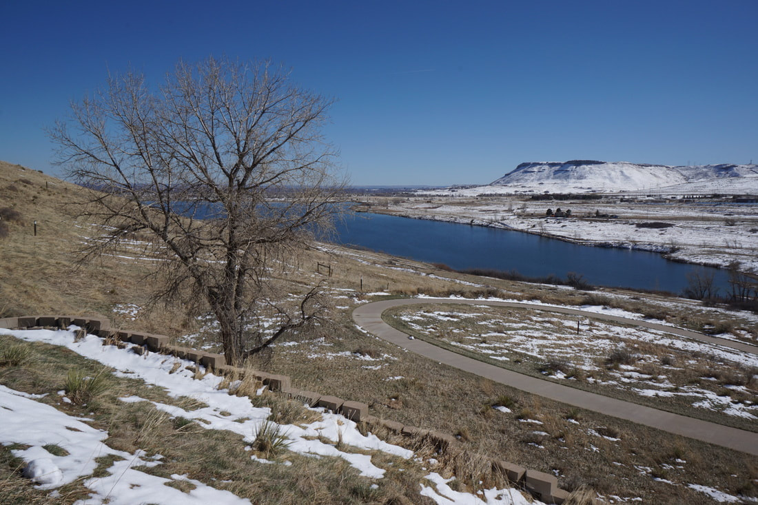
Blunn Reservoir, Arvada Reservoir Park
3.75 mi (RT); 290 ft elevation gain |
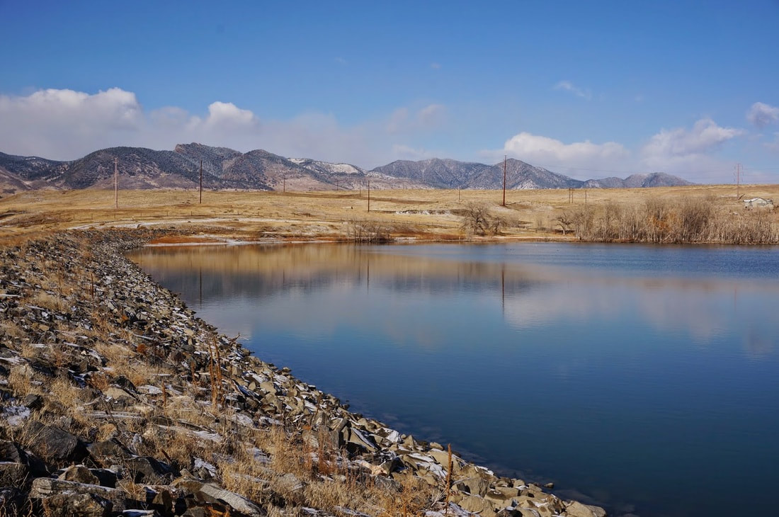
Tucker Lake Park to Arvada Reservoir Park
3.5 mi (RT); minimal elevation gain |
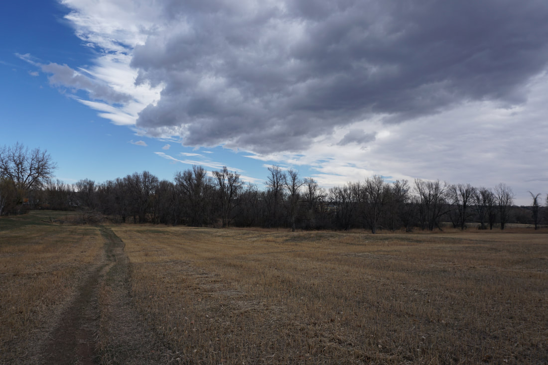
Danny Kendrick Park West to Maple Valley Park (Ward Road to Indiana Street)
3.7 mi (RT); minimal elevation gain |
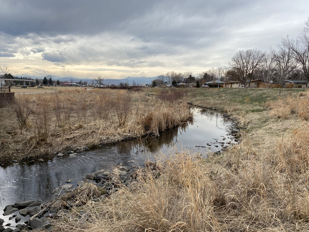
Memorial Park to Ralston Center Park
1.7 mi (RT); minimal elevation gain |
