|
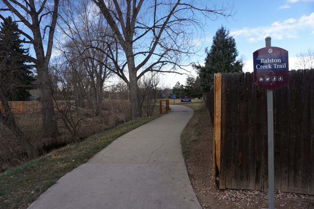
DIRECTIONS: This segment starts at the intersection of Ward Road and 70th Ave, two blocks south of 72nd Ave.
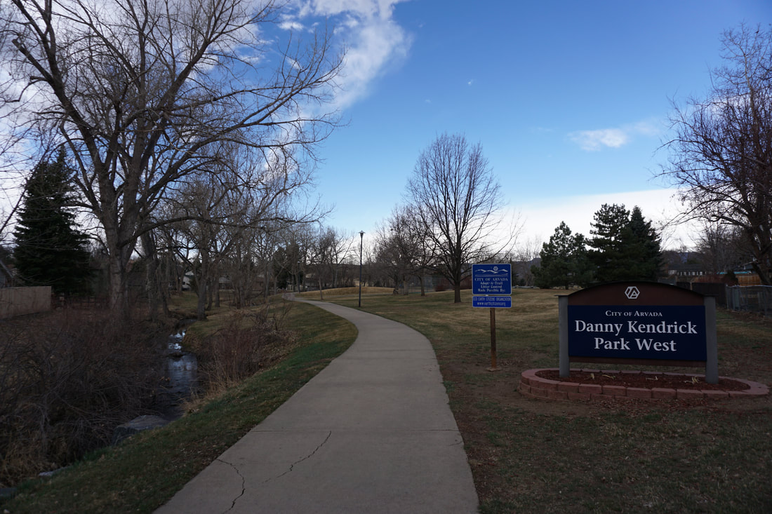
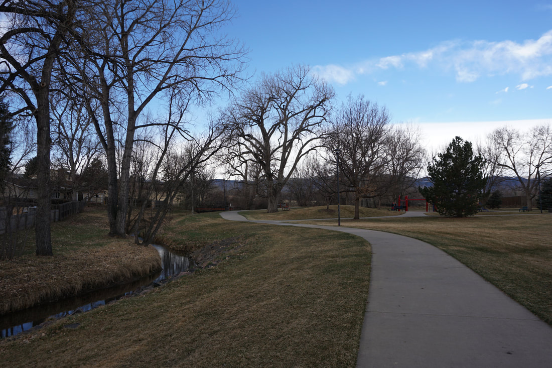
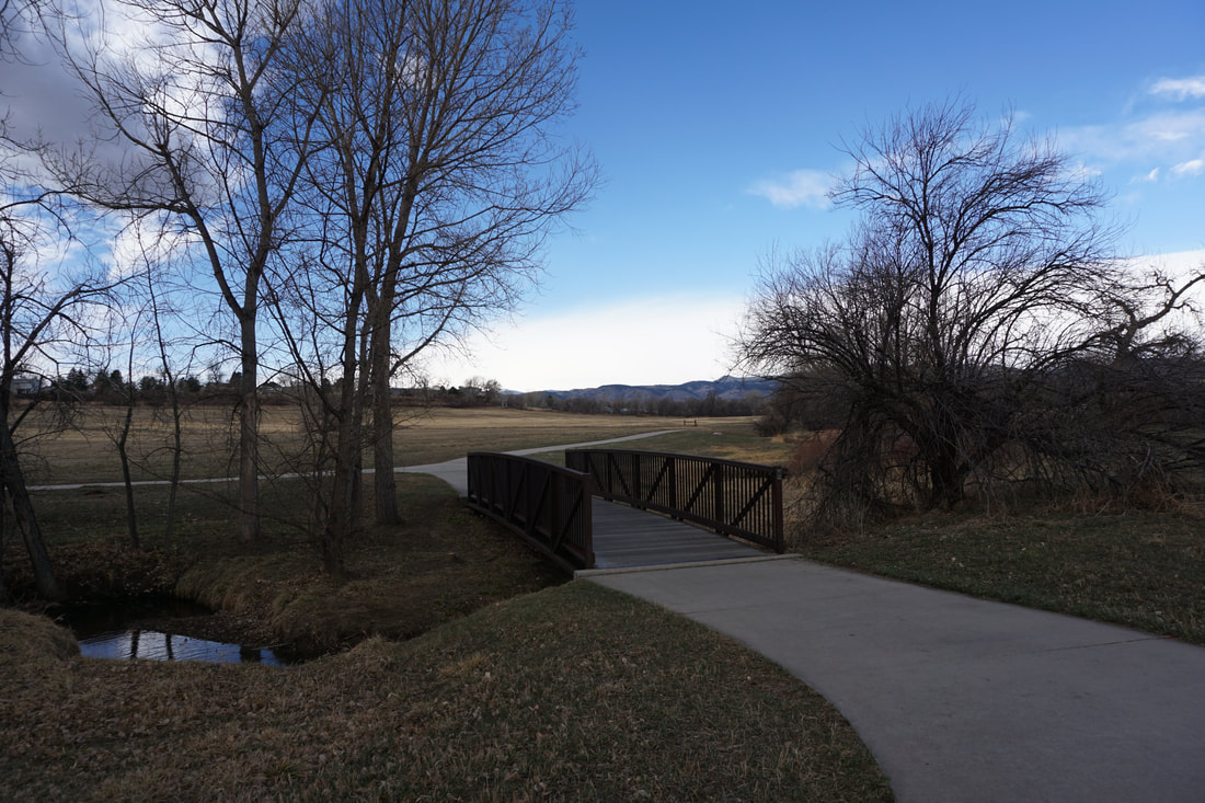
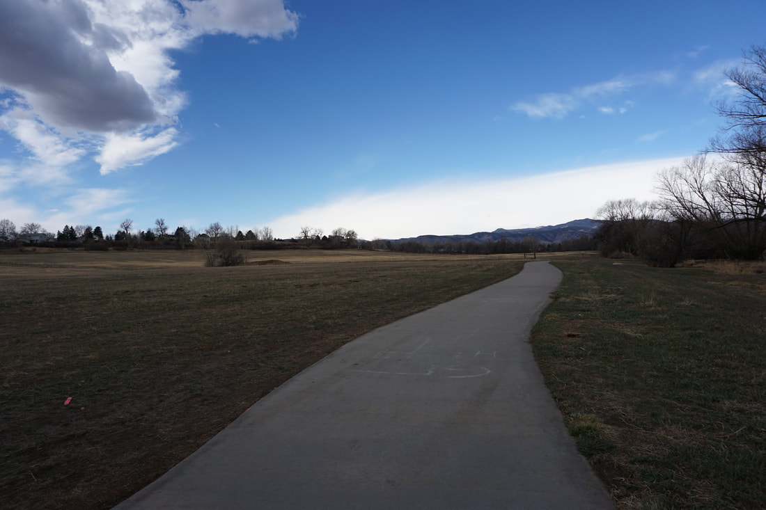
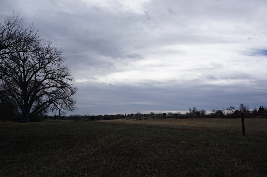
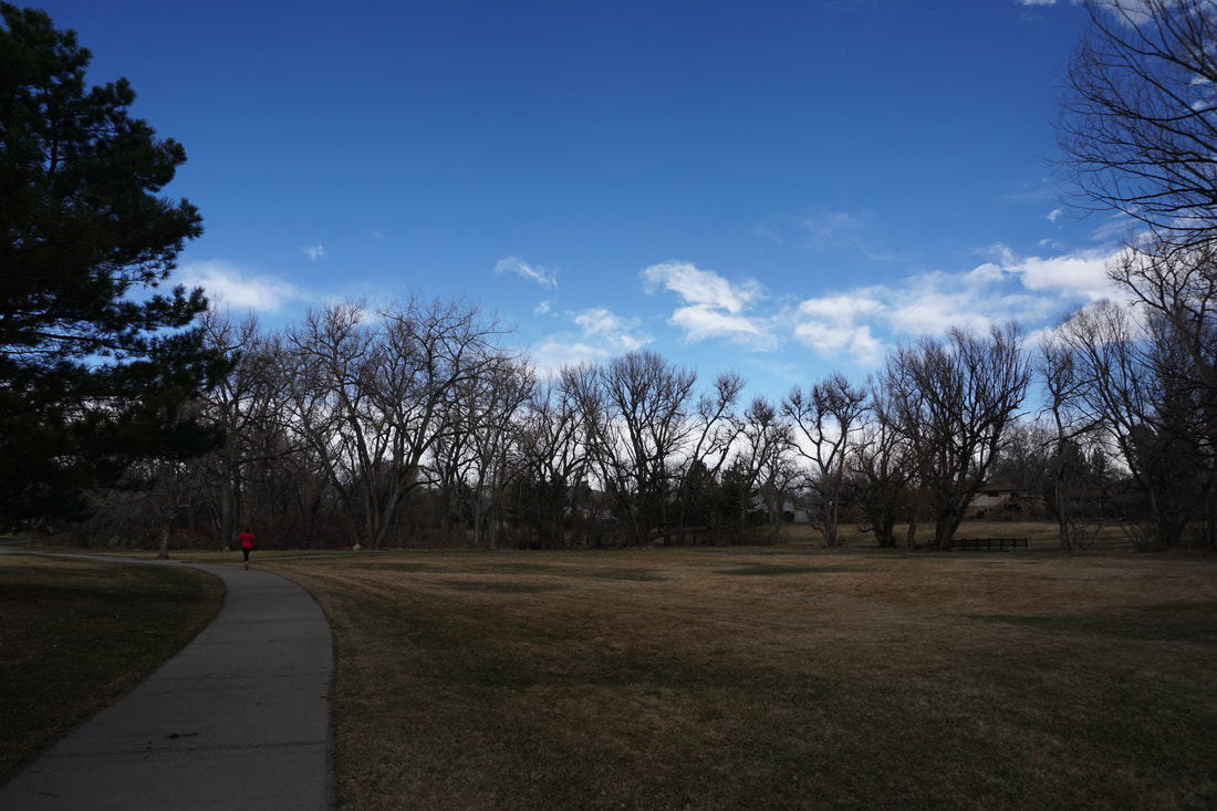
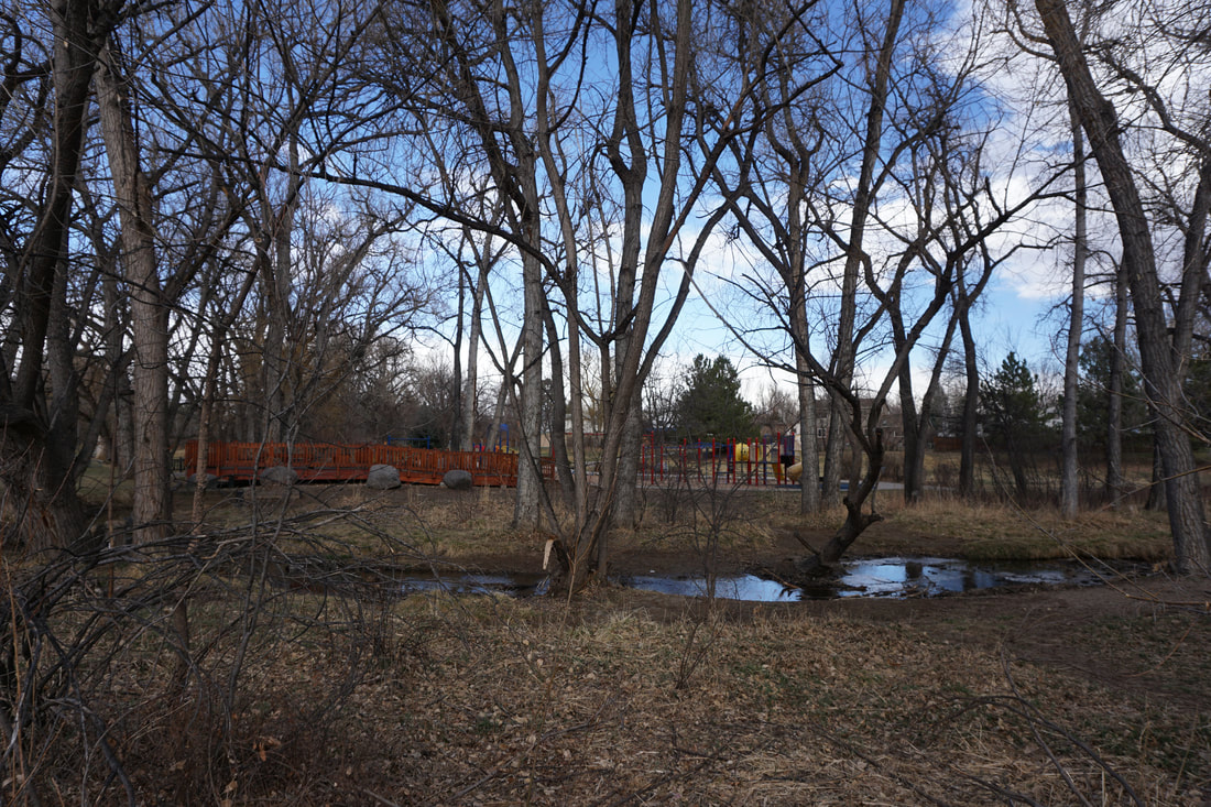
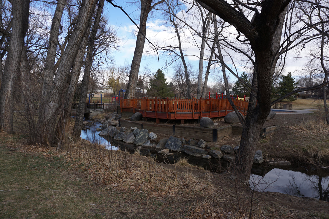
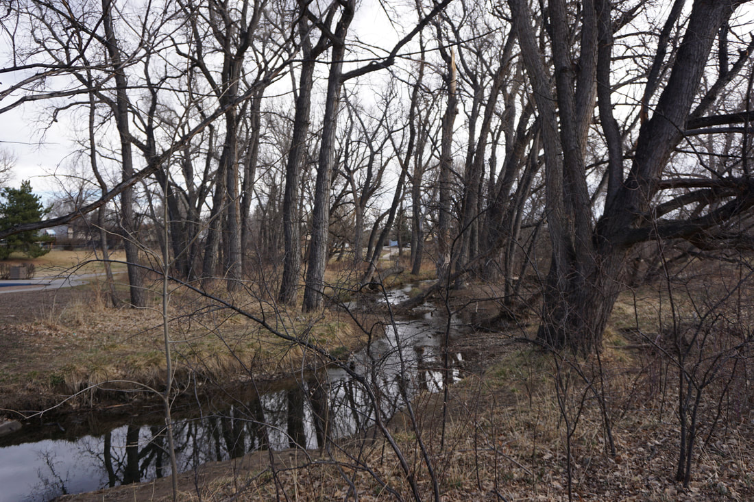
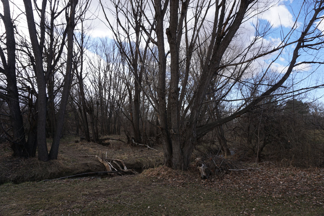
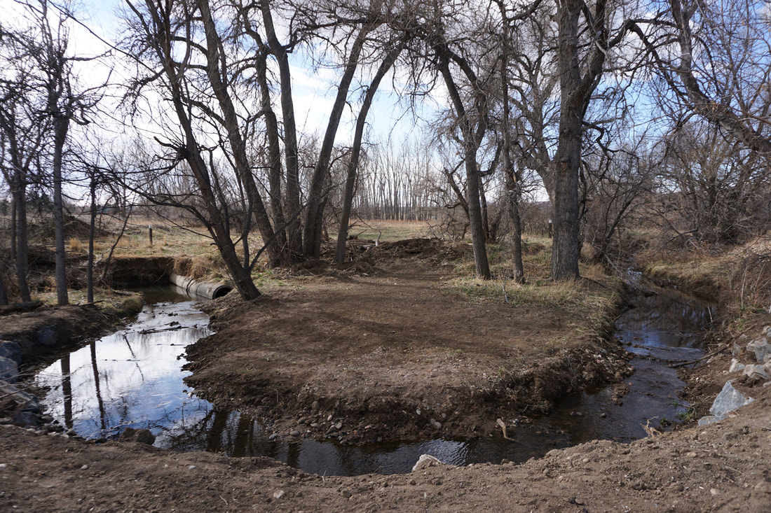
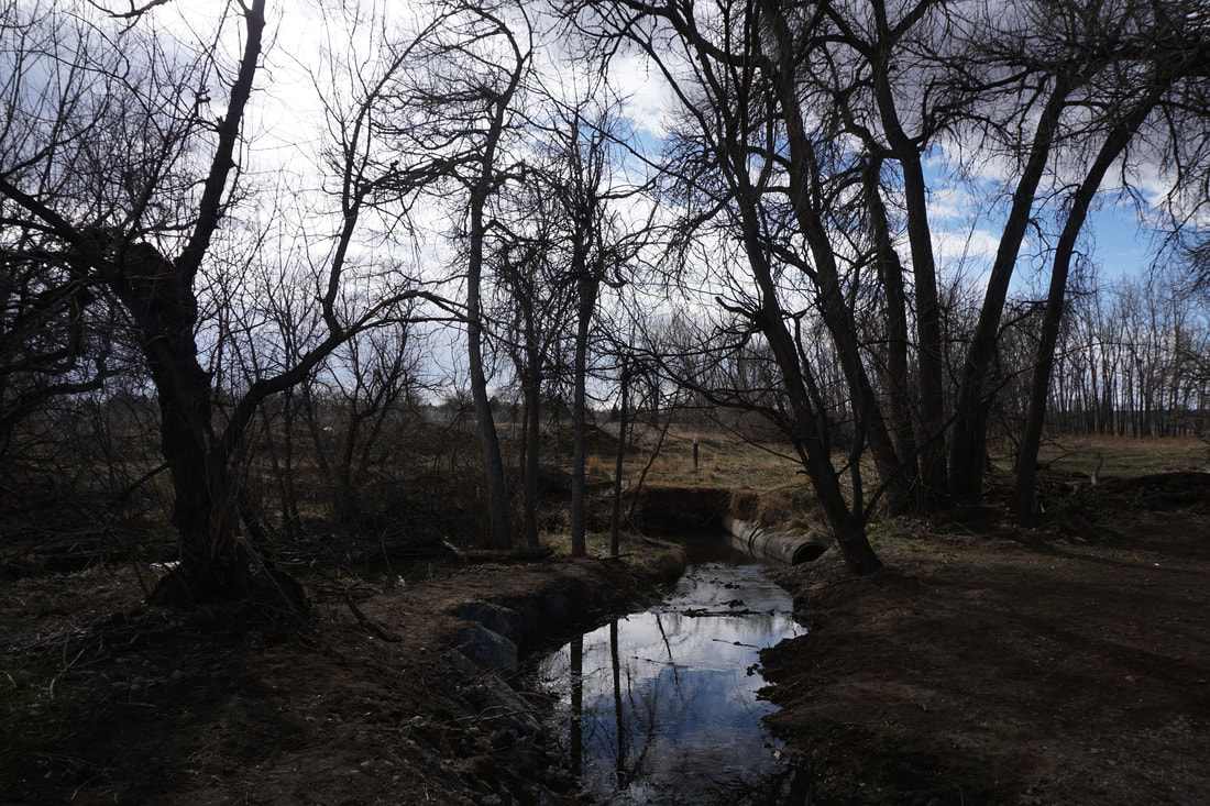
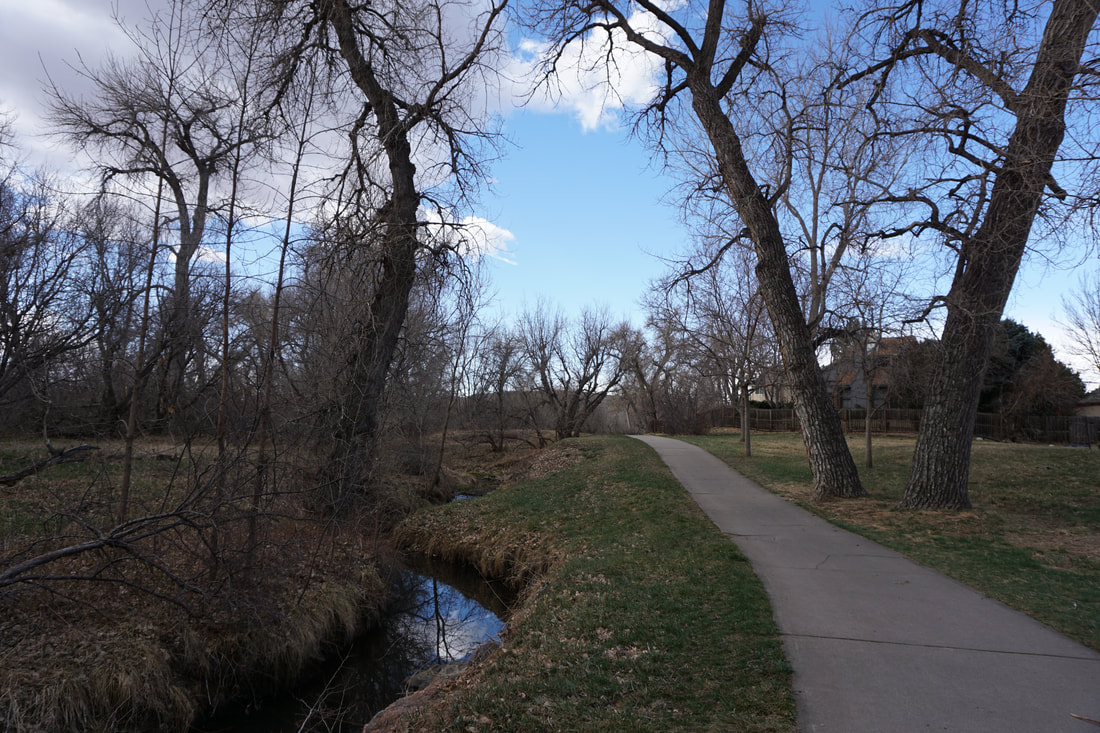
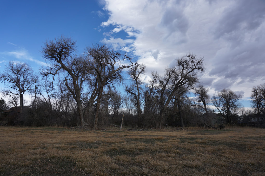
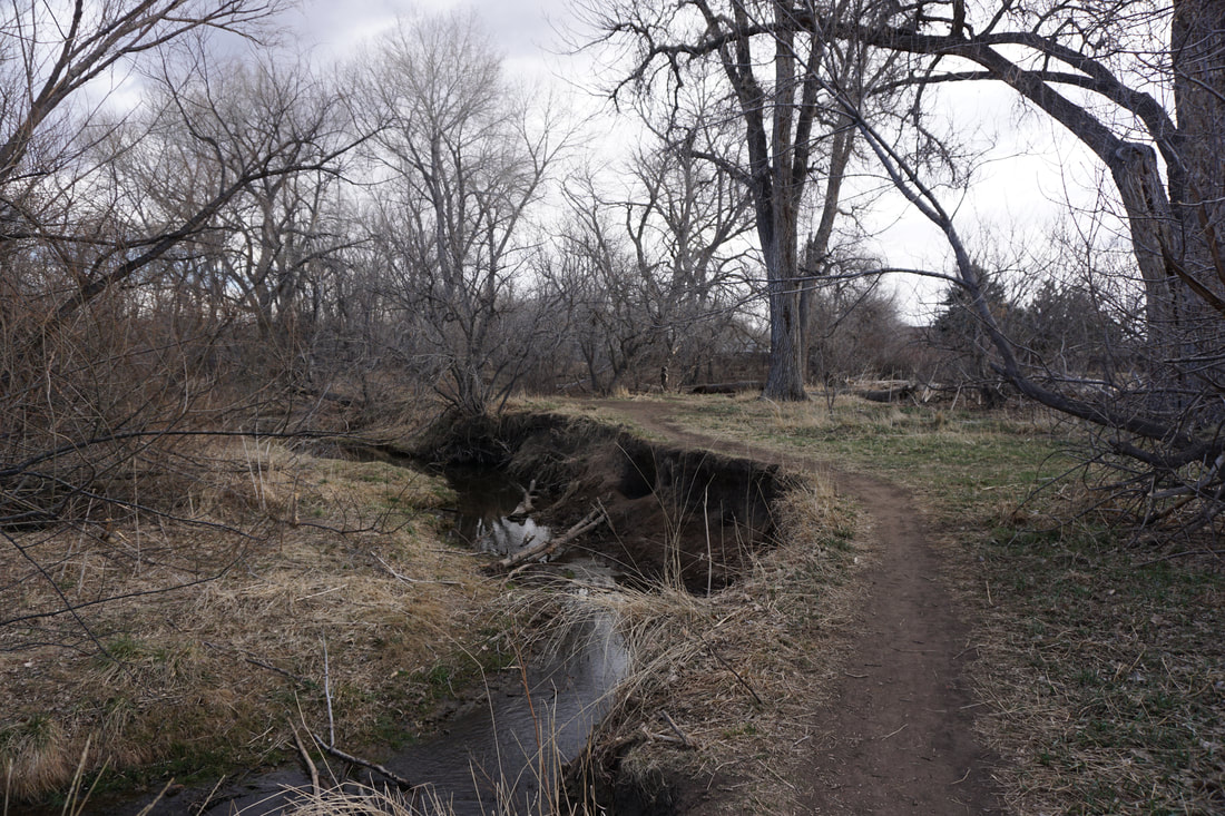
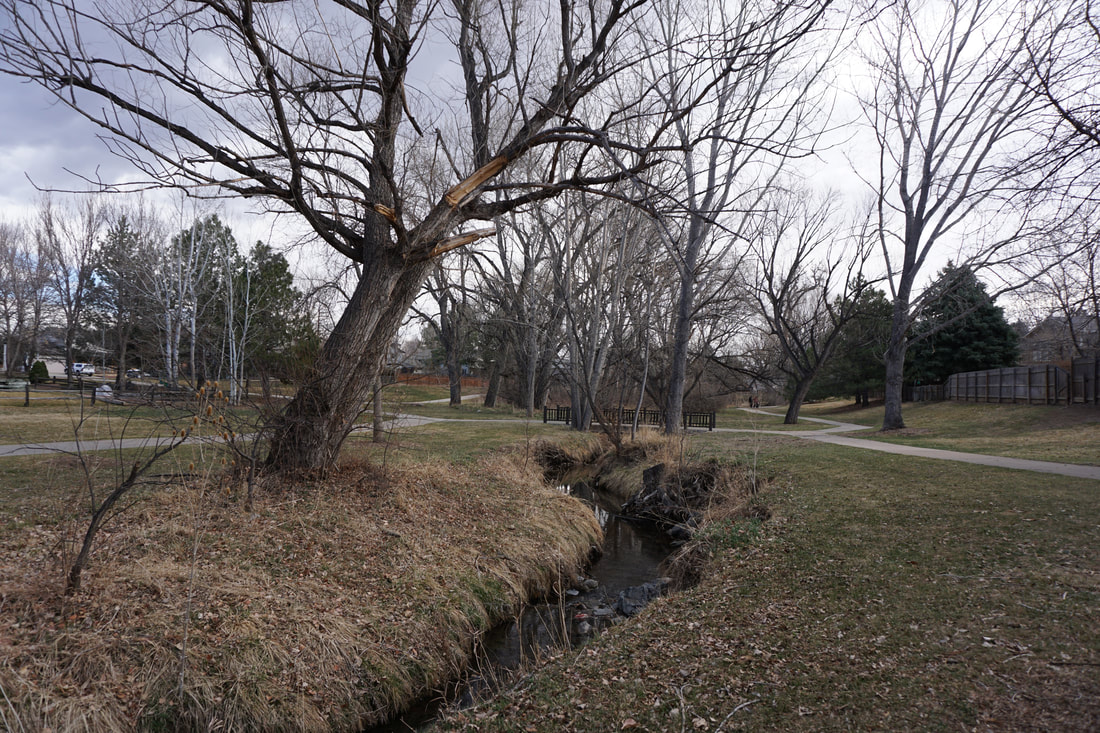
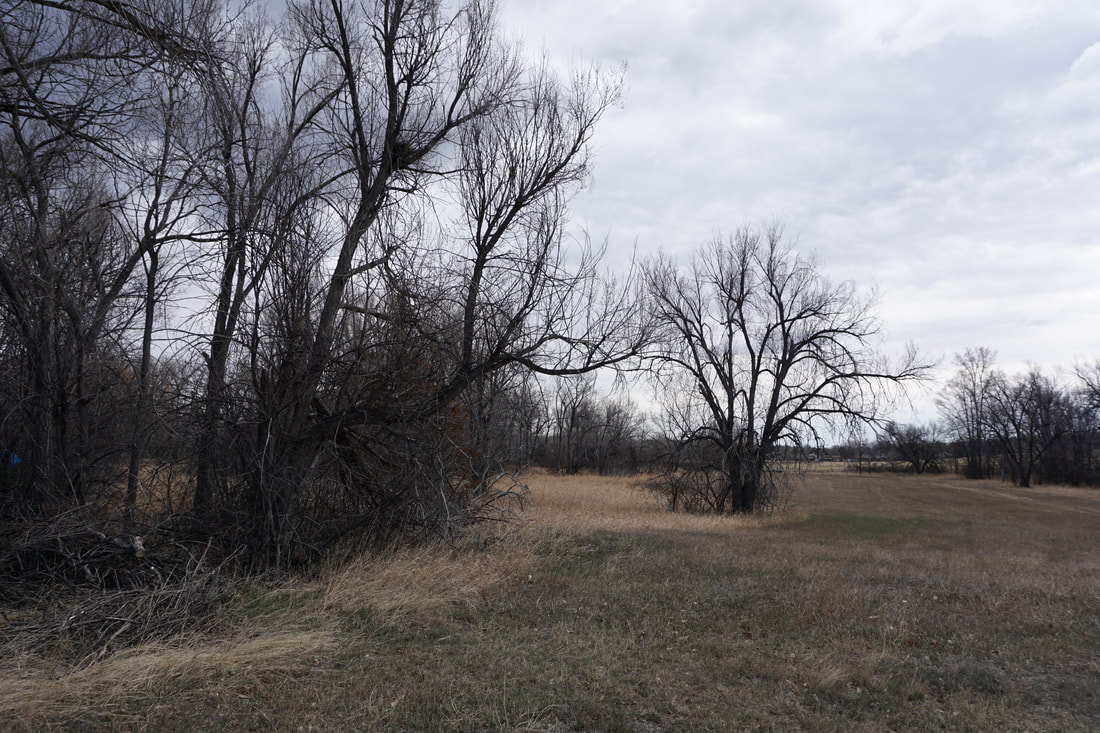
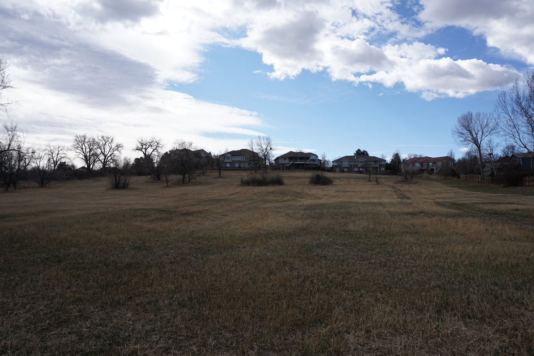
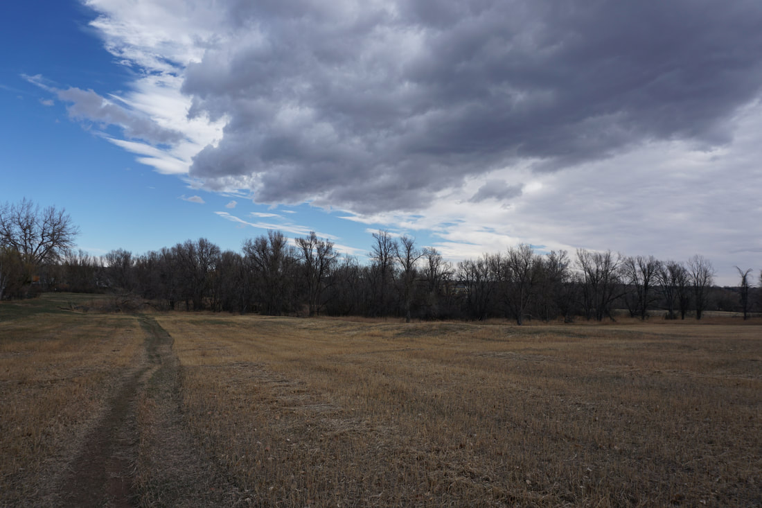
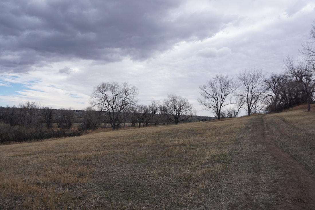
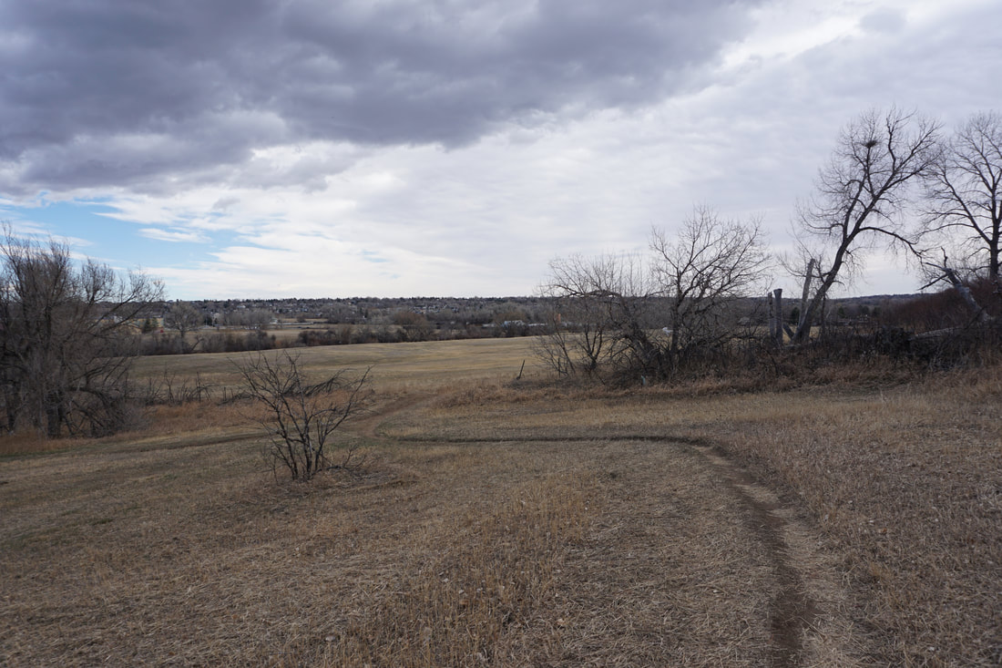
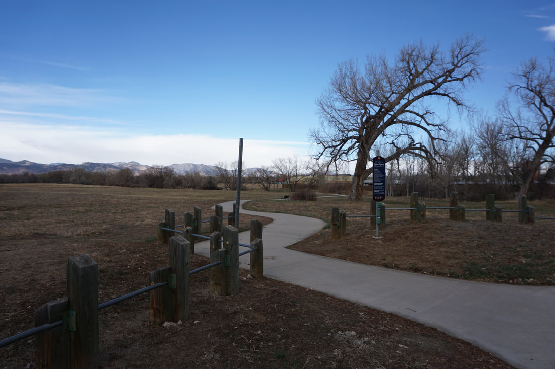
This segment of the RCT starts off through Danny Kendrick Park West as the paved trail follows a narrow creek. The park is a nice neighborhood park with a playground for the kiddos. After you cross a bridge you'll find yourself in the wide open Gibbs West Community Park. This park is a large natural open space with a single track hiking/equestrian trail that circles the meadow. I recommend sticking to the paved RCT and saving the single track for the return trip. The natural trail options along this segment really make it feel more like an easy hike then just a walk.
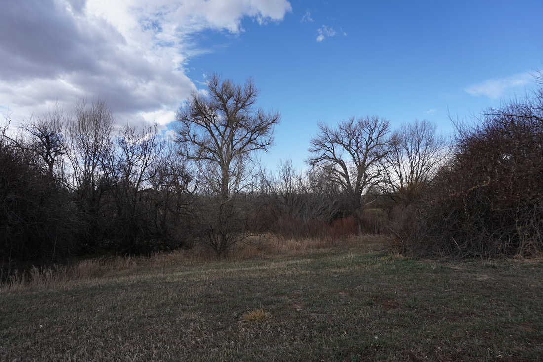
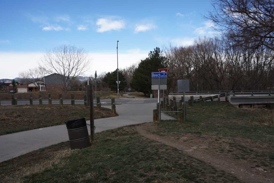
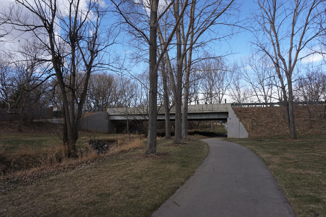
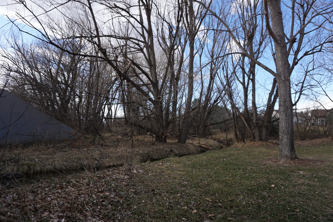
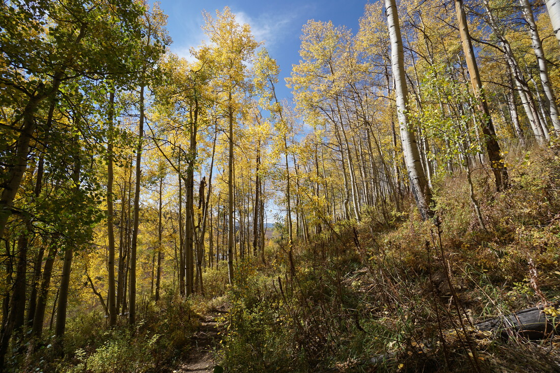
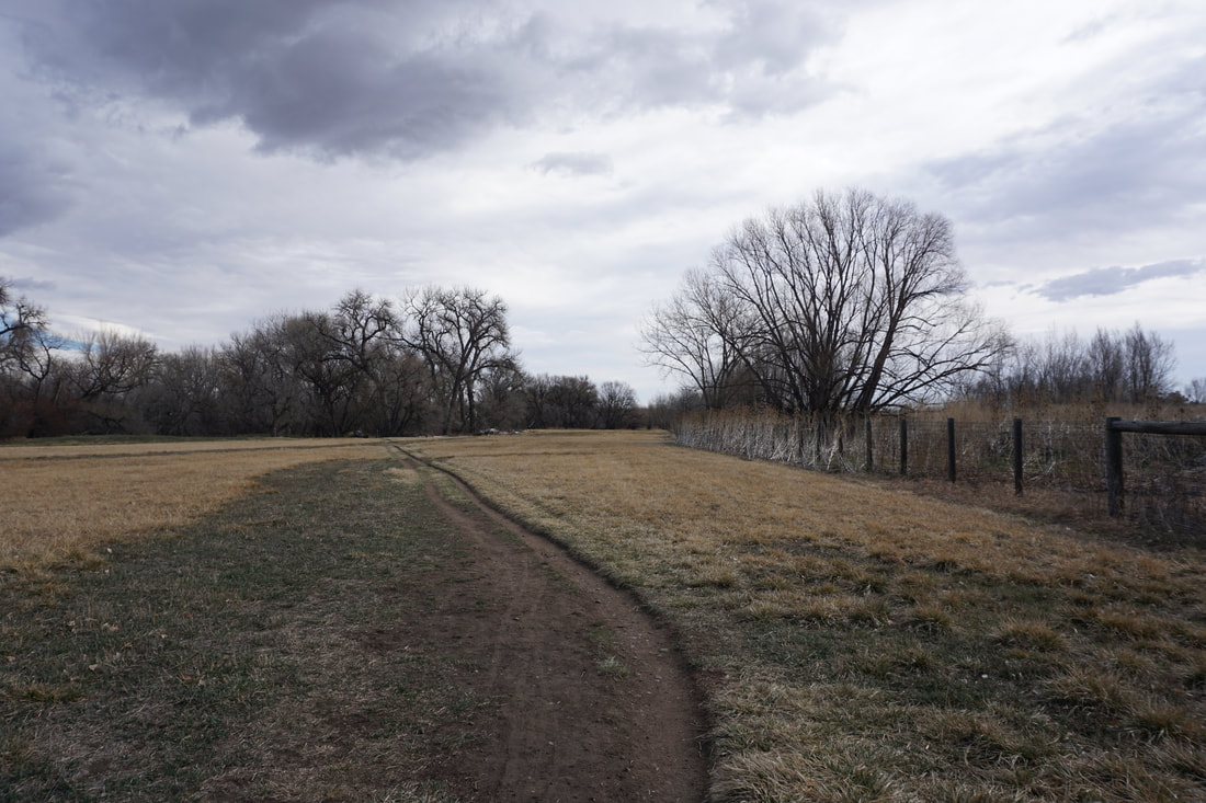
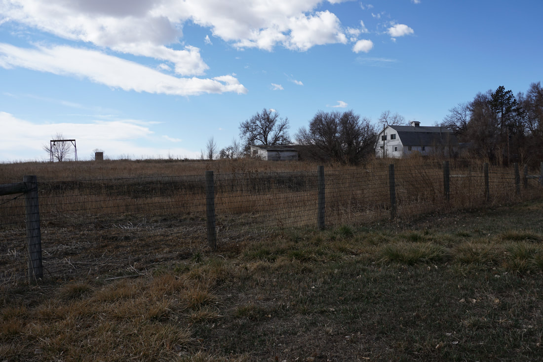
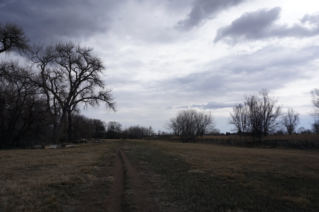
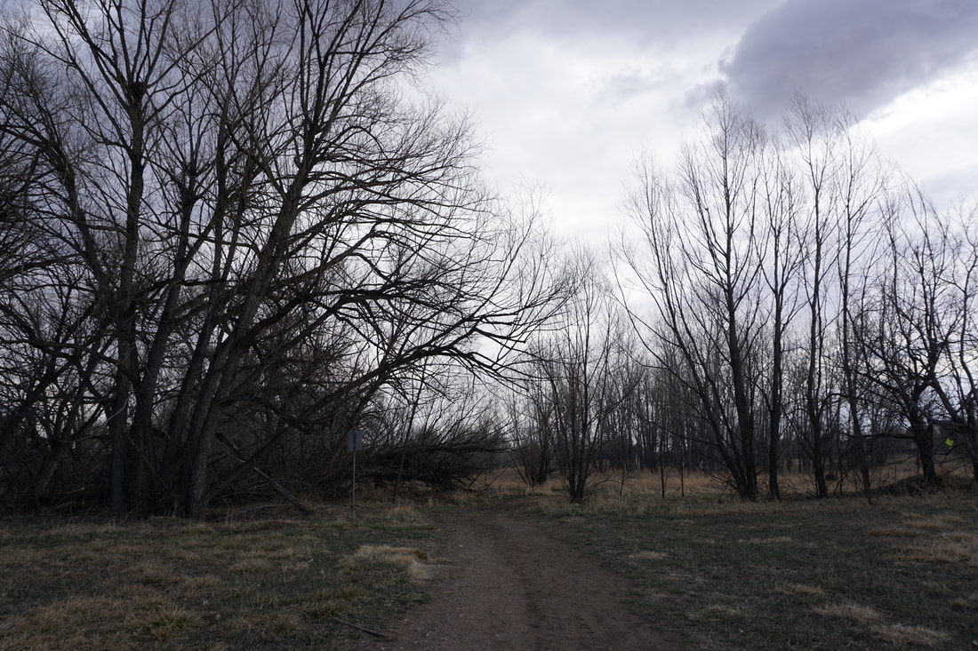
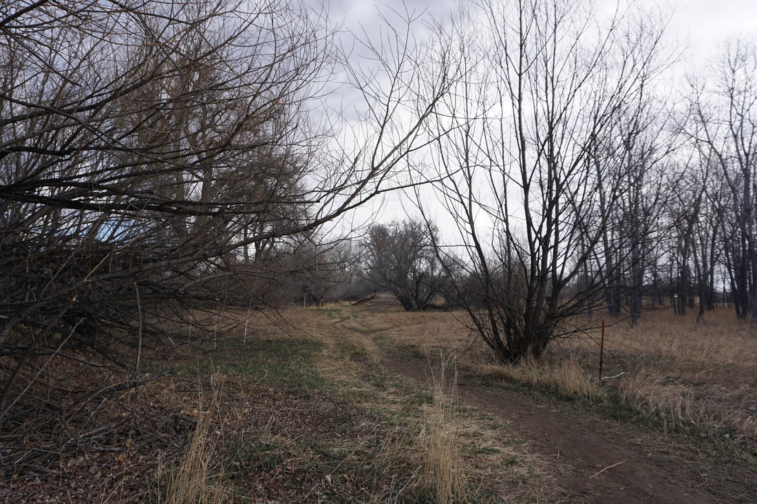
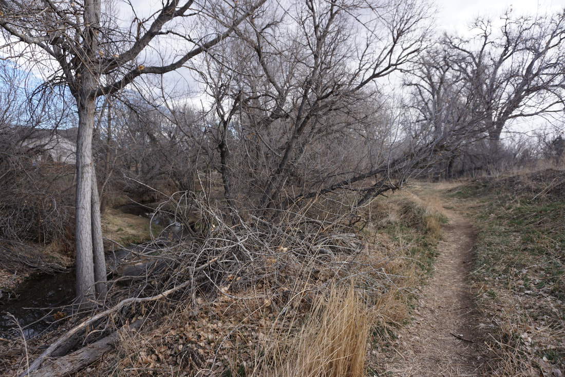
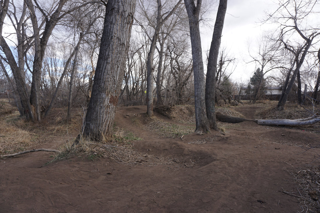
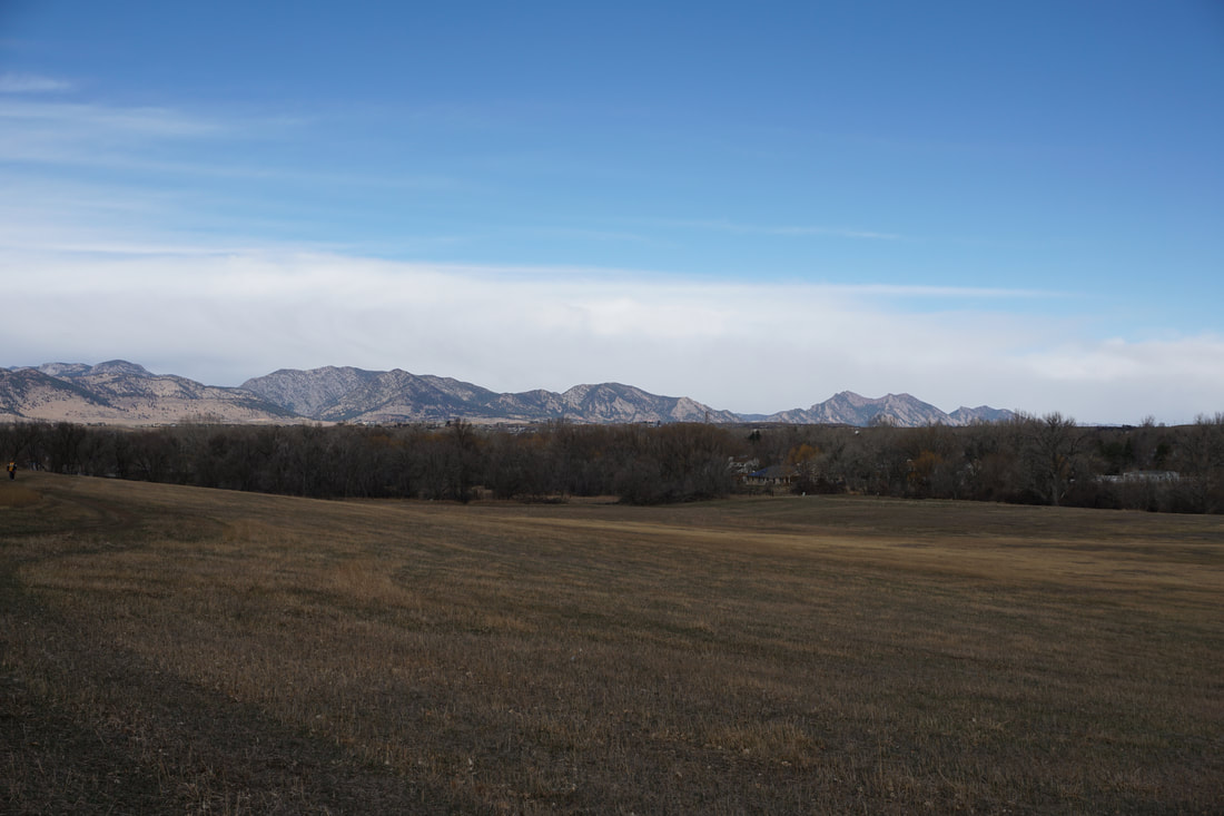
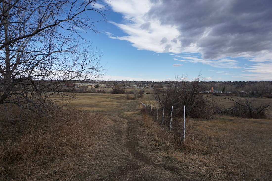
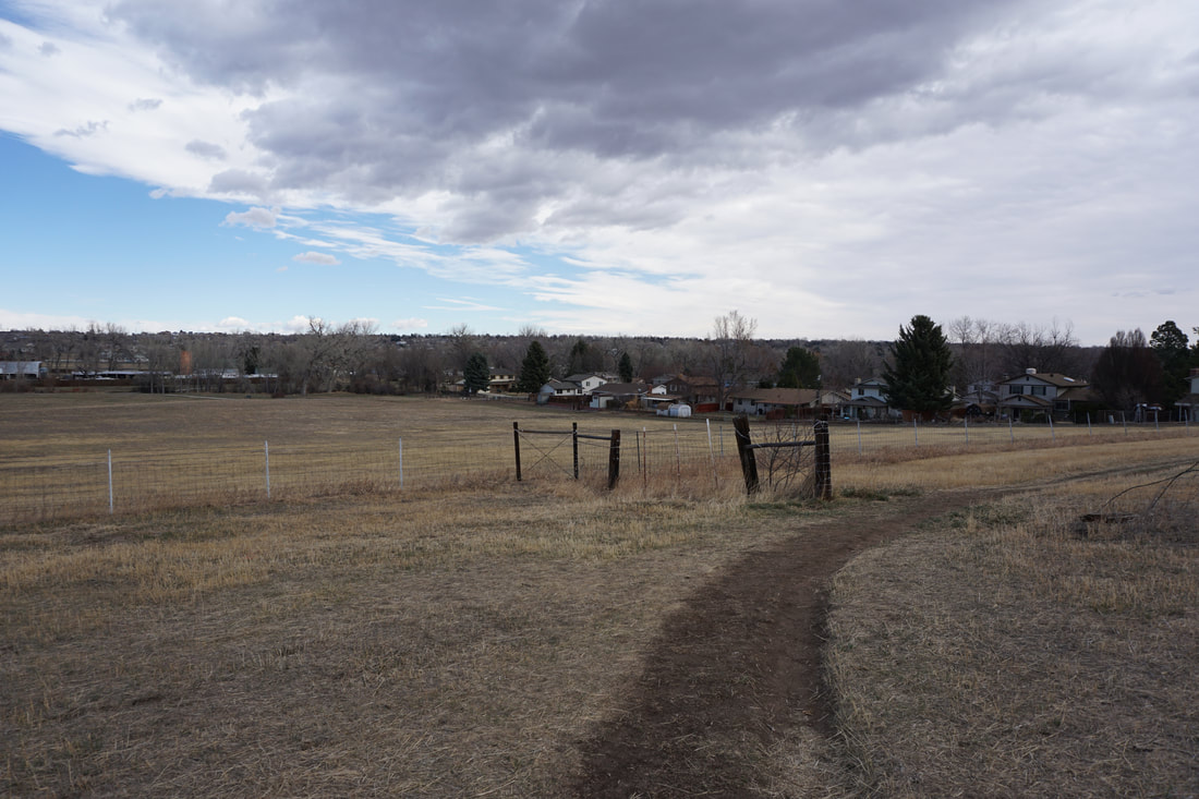
When you cross Beech Street, you'll enter Ralston Valley Park. This section is nicely wooded, should be beautiful in the fall, and has good playgrounds and picnic areas along the creek. Across the creek is also a section of natural surface trail, again, I recommend saving it for the return. Cross under Eldridge Street and enter Shadow Mountain Park. Shadow Mountain Park is one of the more interesting sections of this RCT segment. The RCT passes through a dense wooded park with multiple natural surface trails and dirt bike ramps and jumps, lots of fun to hike through. The RCT continues through Maple Valley Park which is also a beautiful section of trail with dense woods and nice open meadows. When the RCT reaches the underpass for Indiana Street, you'll reach the turn around point, however, the actual hiking portion of this trail segment is just beginning. You'll easily find the natural surface trail to take for your return, it follows wooden trail markers. The trail parallels the RCT for a short time, then branches off into the woods and open meadows with views of old farmhouses. The trail then reenters the woods and sticks close to Ralston Creek as you hike through the bike jump area. The natural surface trail leads back to Ralston Valley Park where is soon joins up with the paved RCT. Wind you way back to Gibbs West Community Park and leave the RCT for the natural surface trail. The natural trail leads through scenic wooded areas and loops around the large meadow in Gibbs West Park. The trail gains a small amount of elevation providing some nice views of the Foothills leading up to Boulder. When the trail reaches the far side of the meadow it joins back with the RCT in Danny Kendrick Park and returns to Ward Road. This is a wonderful segment of the RCT. The parks it passes through are natural and scenic and the many natural trail surfaces make it even more satisfying. This trail is a great option for hiking with kids or just a good route for some exercise and hiking when you need to stick close to Denver. |
|
- HOME
- ABOUT
-
HIKES BY REGION
-
NATIONAL PARK HIKES
- BENT'S OLD FORT NATIONAL HISTORIC SITE
- BLACK CANYON OF THE GUNNISON NATIONAL PARK
- COLORADO NATIONAL MONUMENT
- CURECANTI NATIONAL RECREATION AREA
- DINOSAUR NATIONAL MONUMENT
- FLORISSANT FOSSIL BEDS NATIONAL MONUMENT
- MESA VERDE NATIONAL PARK
- ROCKY MOUNTAIN NATIONAL PARK
- GREAT SAND DUNES NATIONAL PARK
- HOVENWEEP NATIONAL MONUMENT
- SAND CREEK MASSACRE NATIONAL HISTORIC SITE
- YUCCA HOUSE NATIONAL MONUMENT
- HIKES BY CATEGORY
- NEWS
- WEBCAMS
- $UPPORT GHC
- INTERACTIVE MAP
Ralston Creek Trail
Danny Kendrick Park > Gibbs West Community Park > Mountain Shadow Park > Maple Valley Park (Ward Road to Indiana Street)
Date Hiked: March 12, 2017
Distance: 3.7 mi (RT)
Elevation Gain: Minimal
Elevation: 5,500 ft
Managing Agency: City of Arvada
Fee: None