|
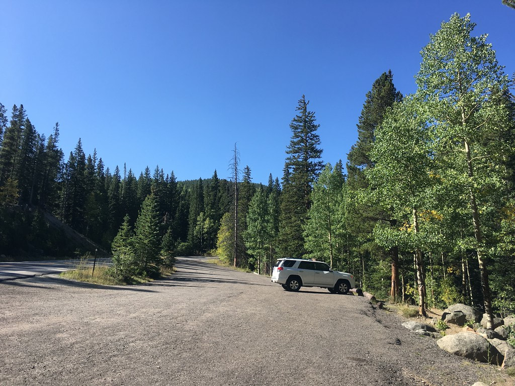
DIRECTIONS: From I-70 at Idaho Springs, take exit 240 for Mount Evans. Head south on CO-103 (Chicago Creek Road) for about 6.5 miles. Just past the turnoff for West Chicago Creek Road is a pullout next to the Arapaho National Forest sign. The gated road begins from the pullout.
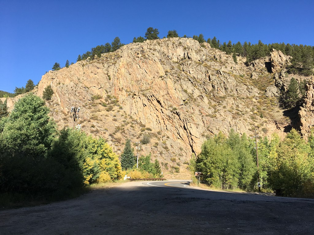
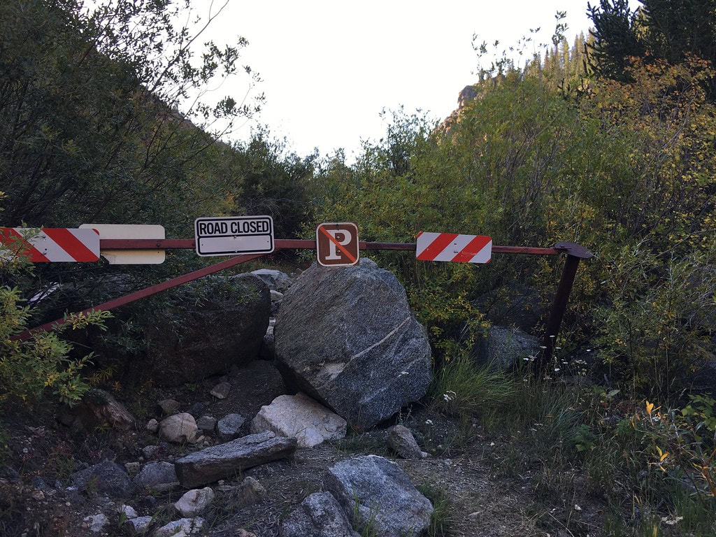
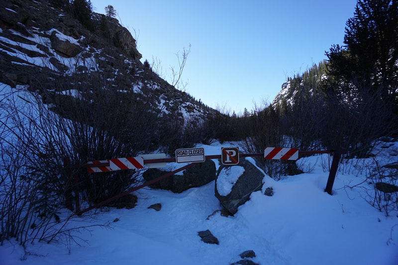
Here's a fun little exploration for you... You've probably driven by this trail a hundred times on your way up to Mount Evans. On 103 heading south from Idaho Springs up to Echo Lake & Mount Evans, just after the turnoff for West Chicago Creek Road (Griffith Mt; Rocky Road; Hells Hole Trail), there is a large pullout next to the Arapaho National Forest sign and a road with a gate and rocks blocking entrance. As far as I can tell, this old road is called Excelsior Road. The name is not visible on most maps but the www.caltopo.com map layer identifies it as "Excelsior."
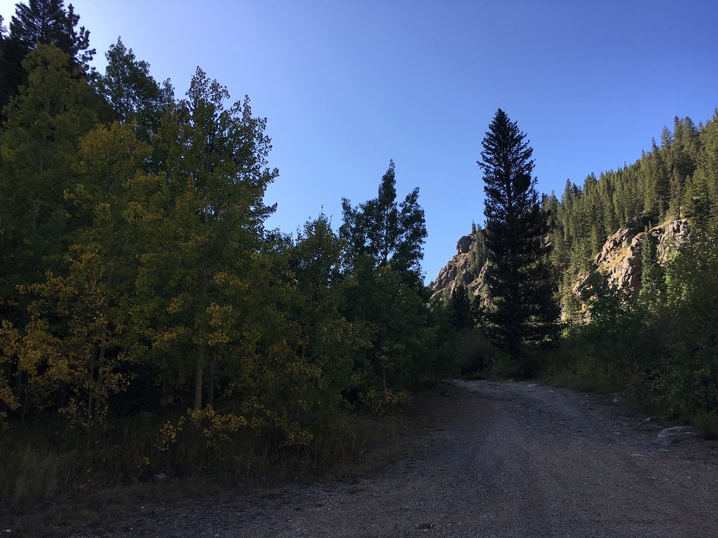
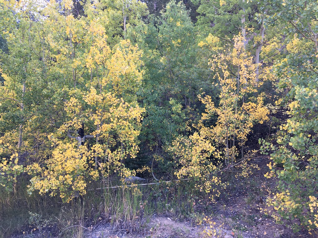
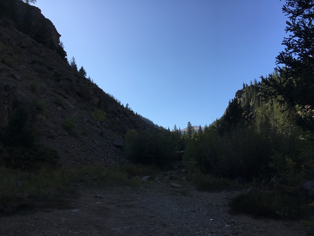
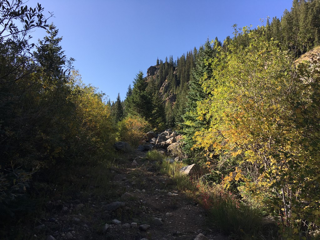
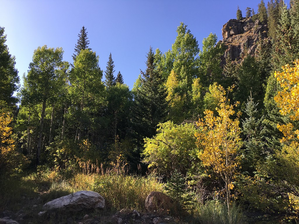
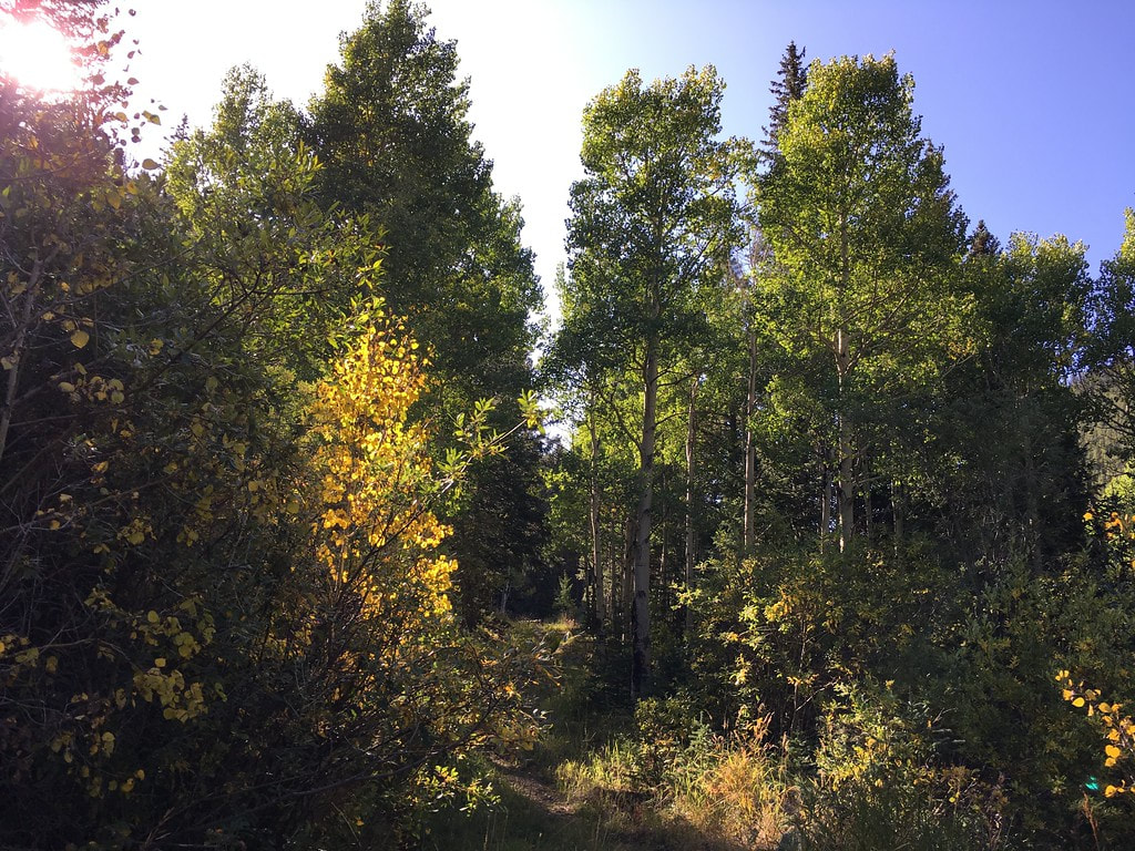
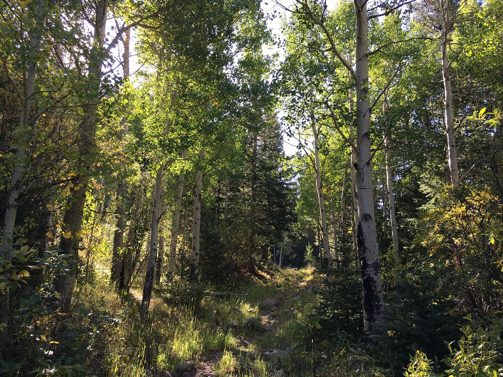
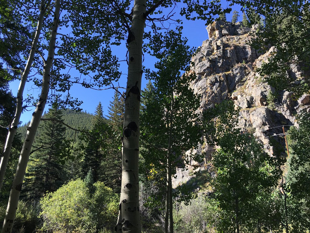
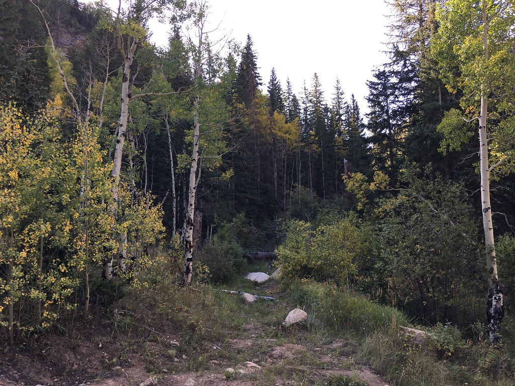
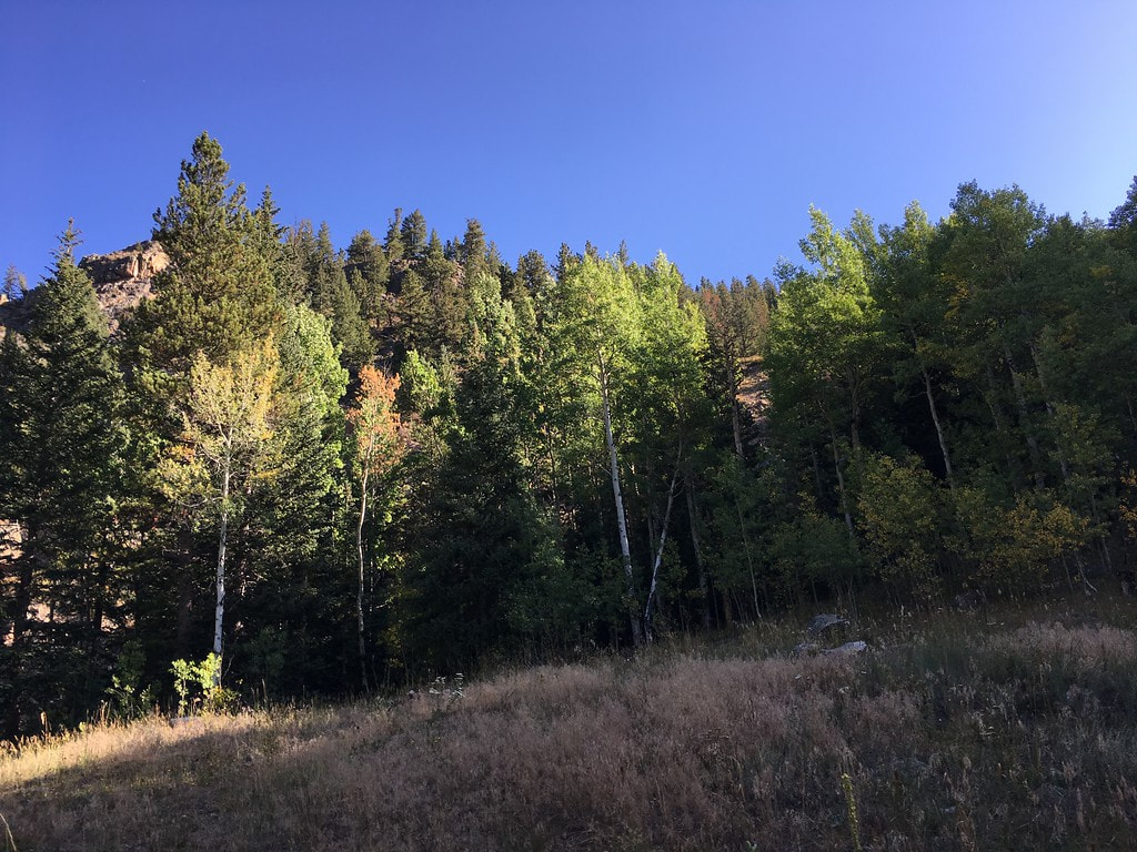
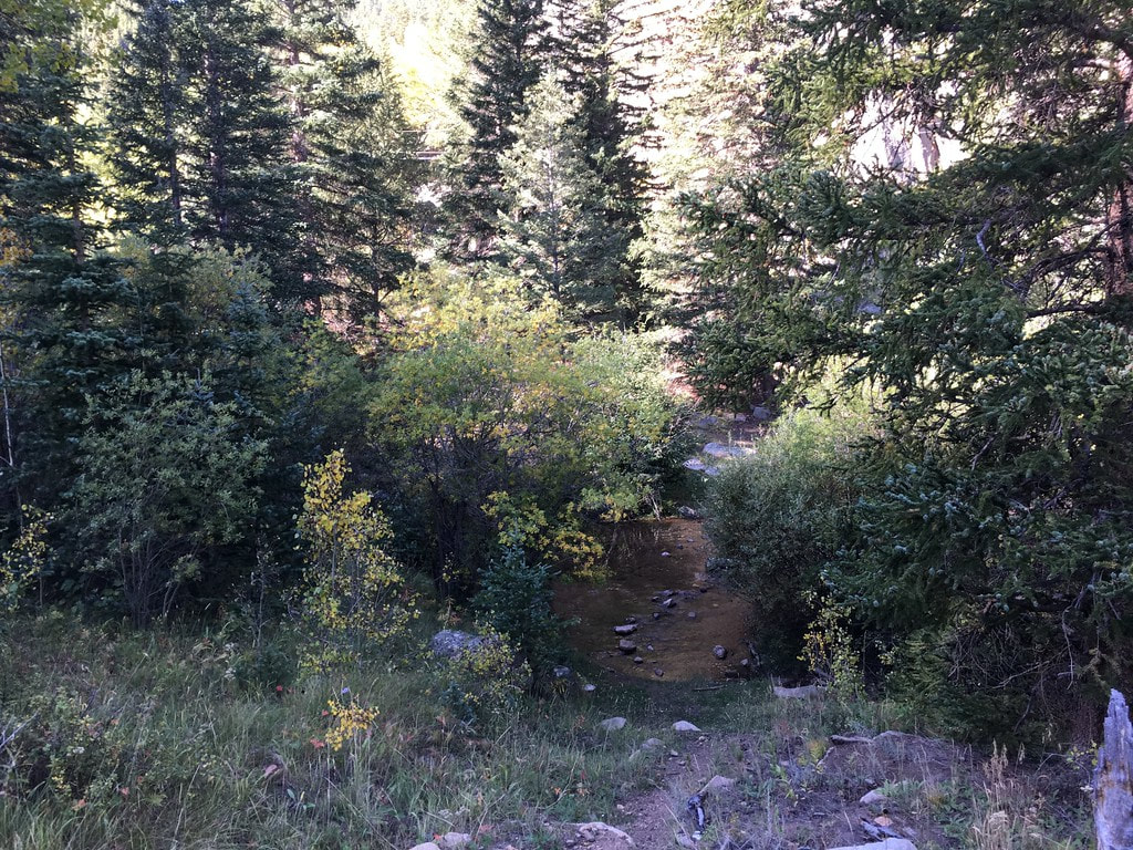
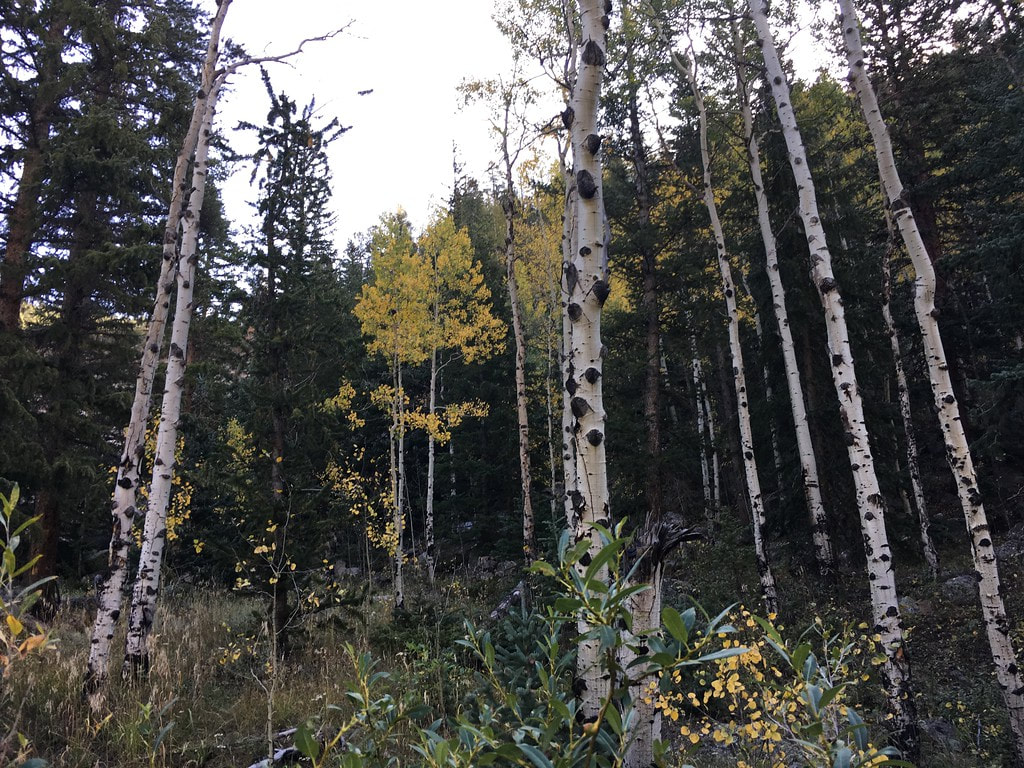
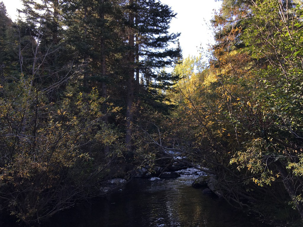
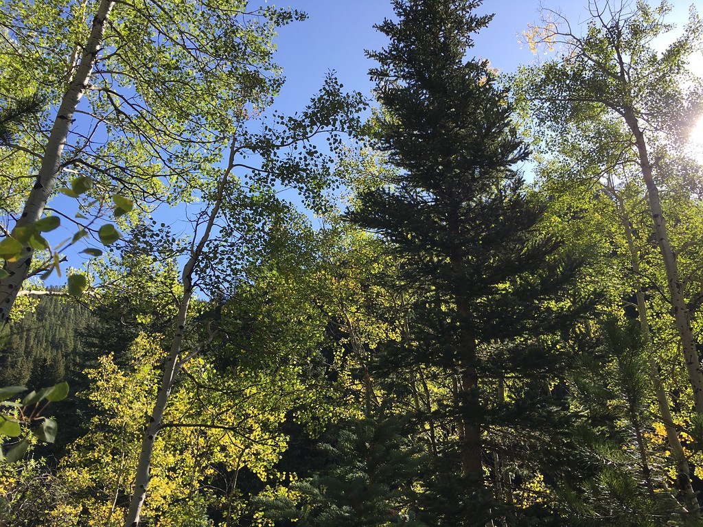
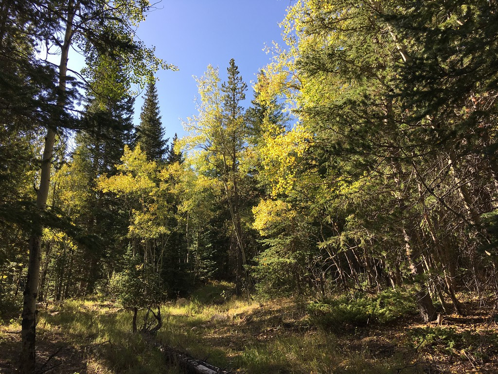
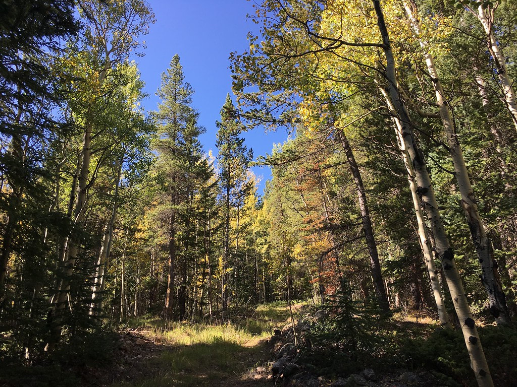
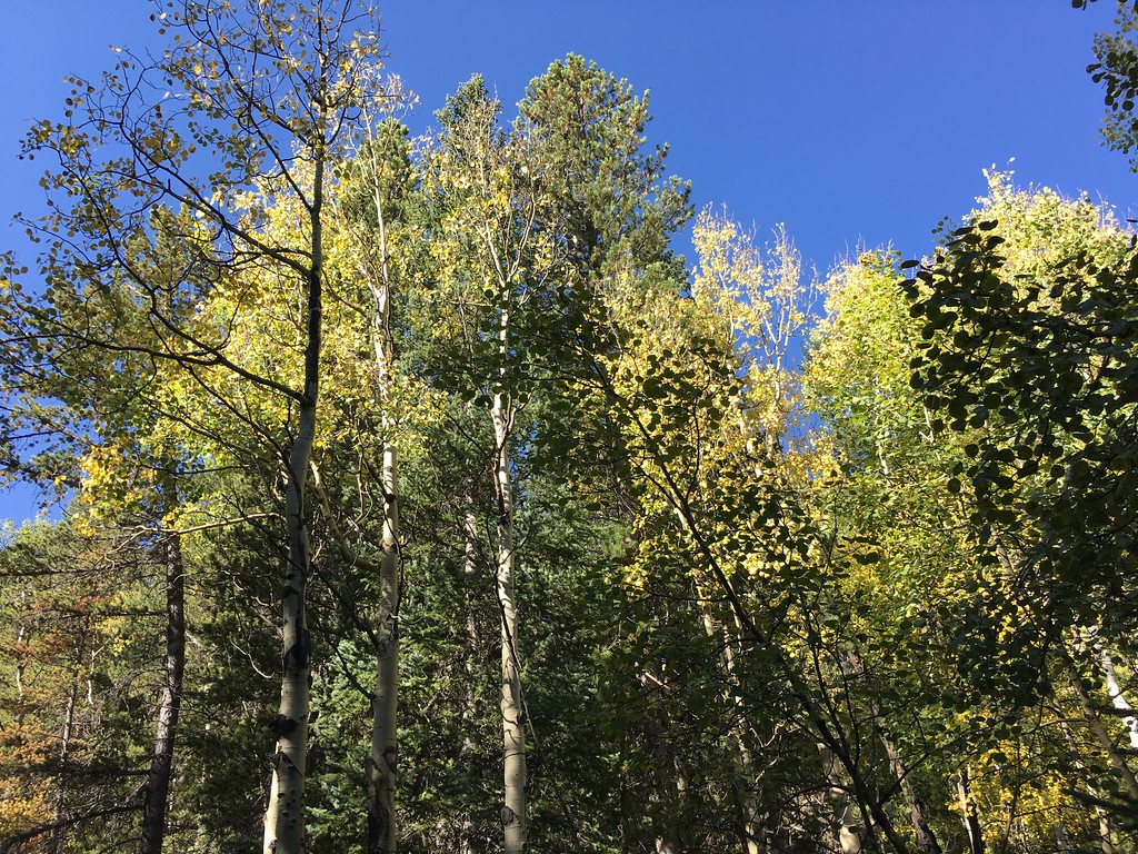
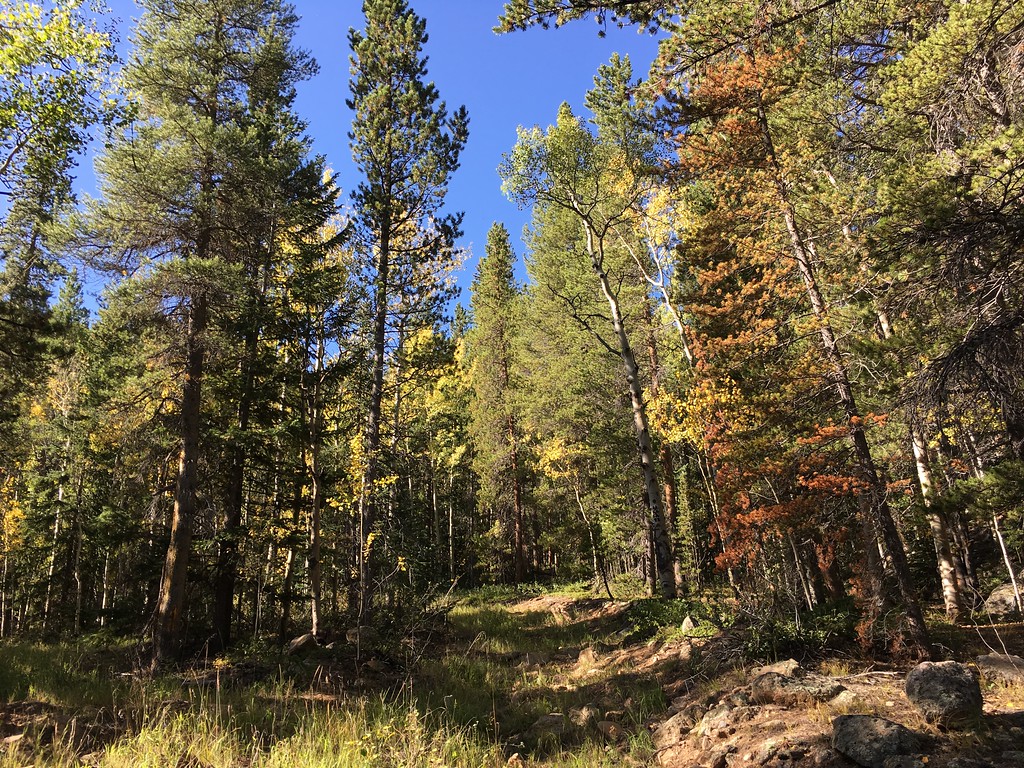
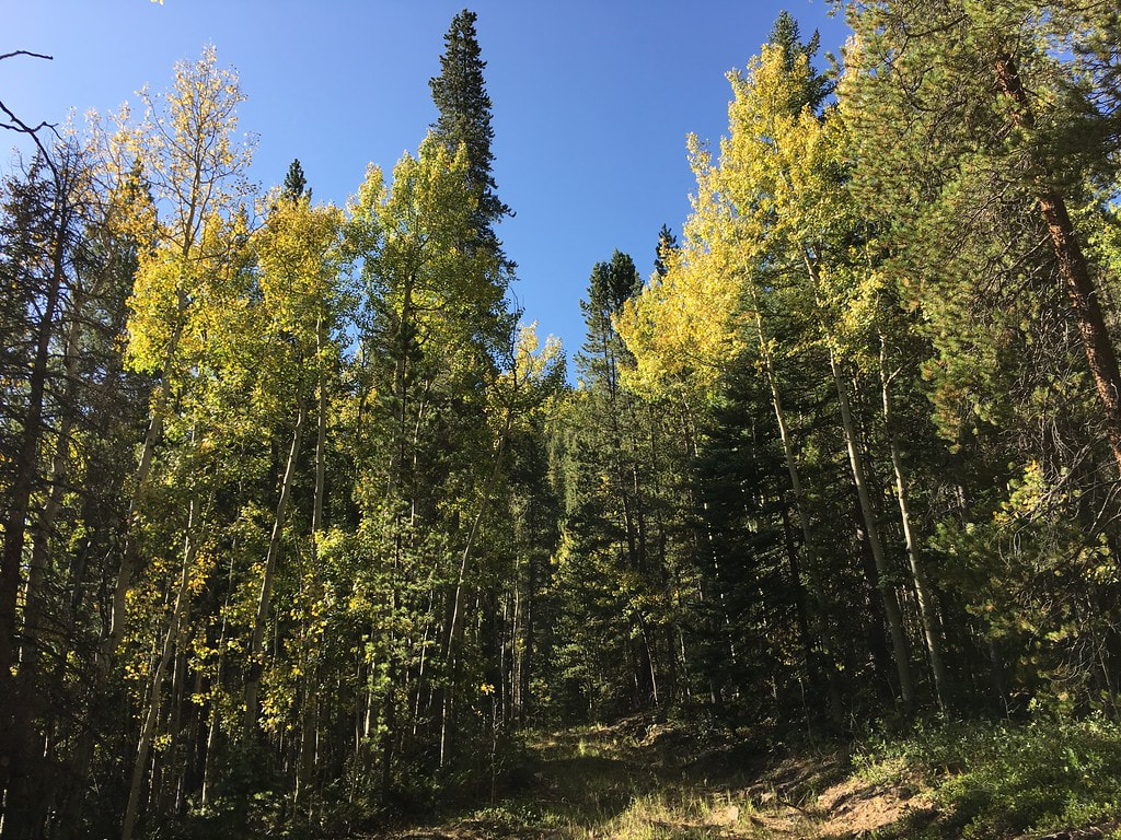
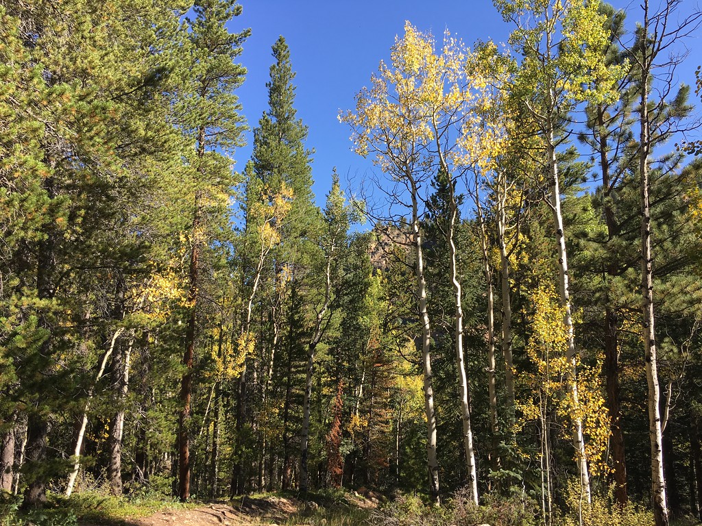
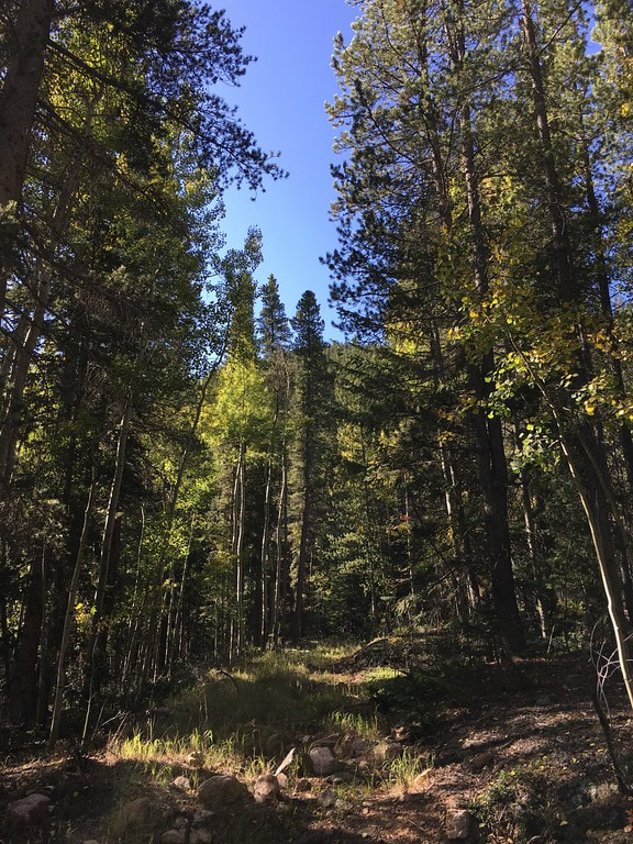
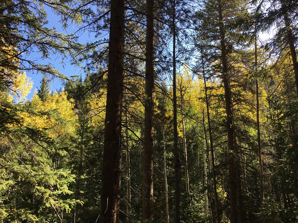
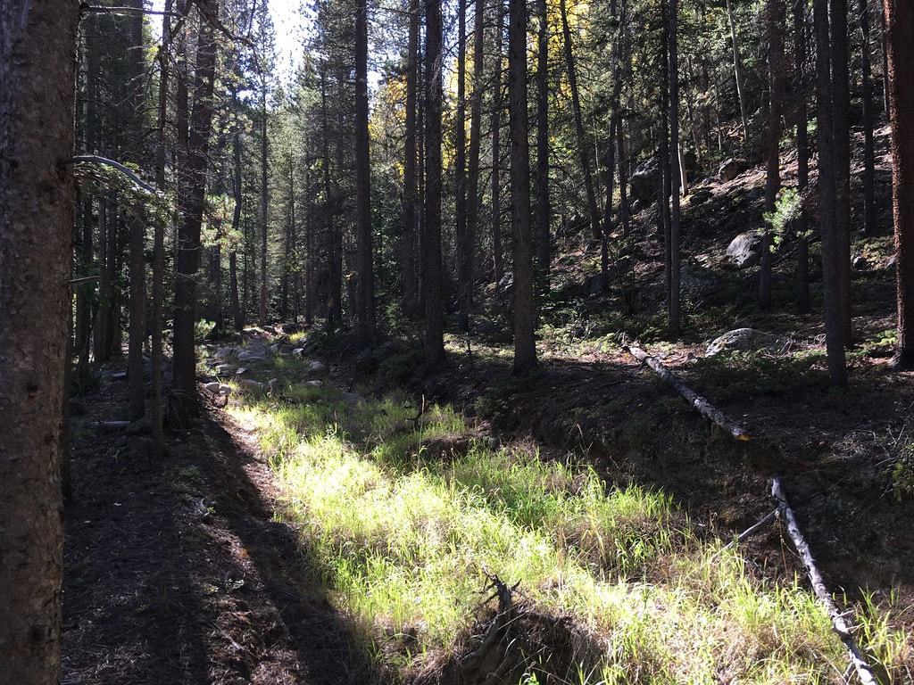
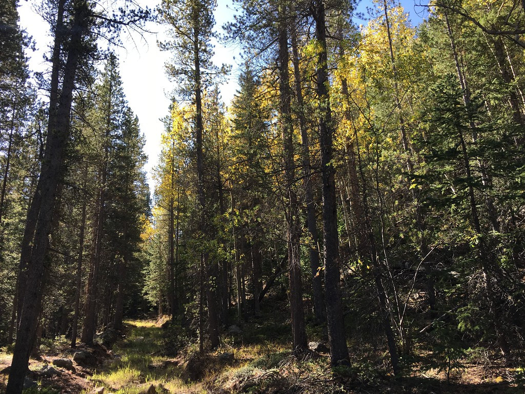
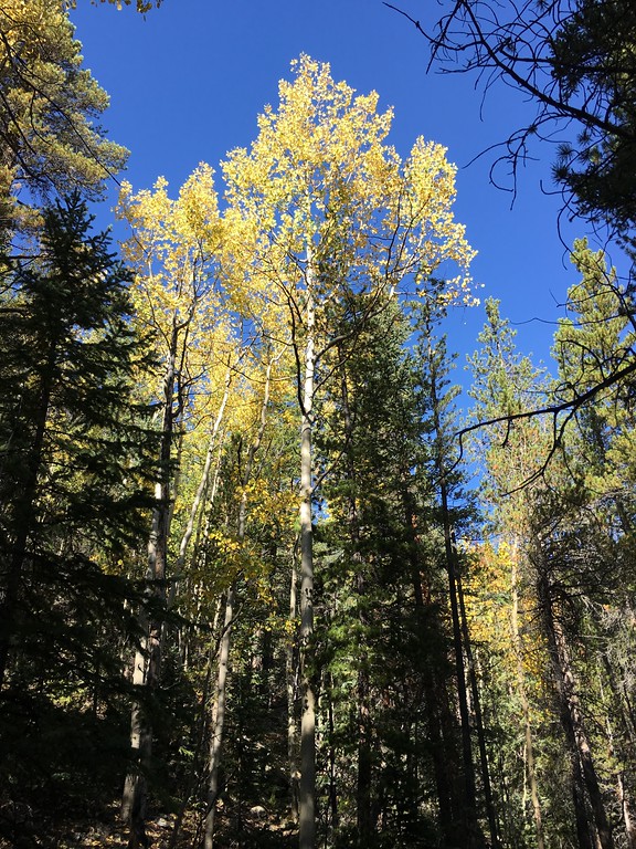
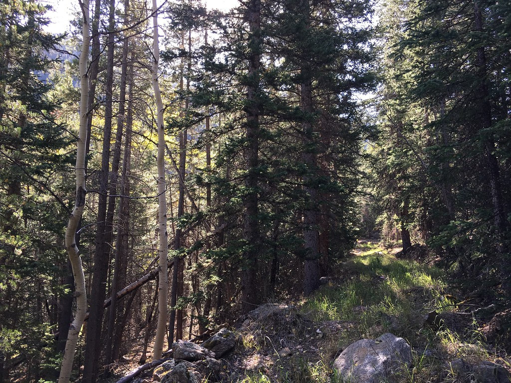
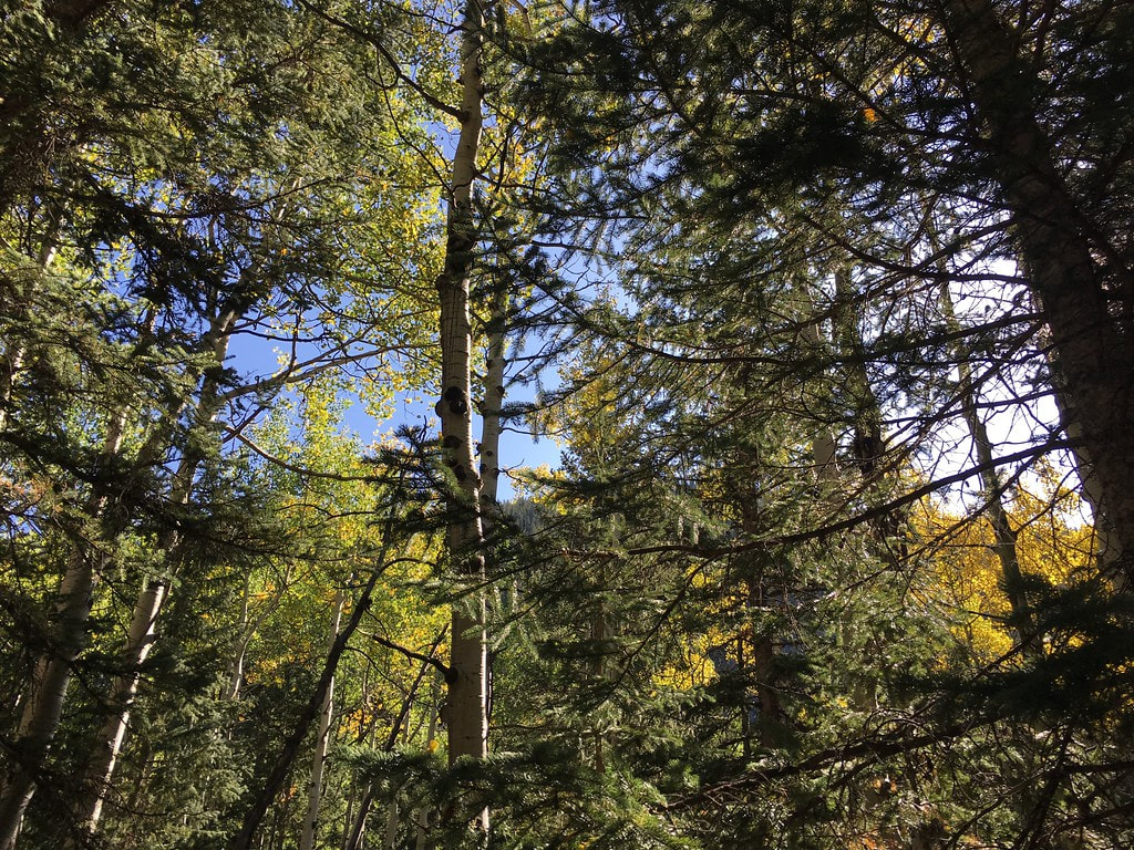
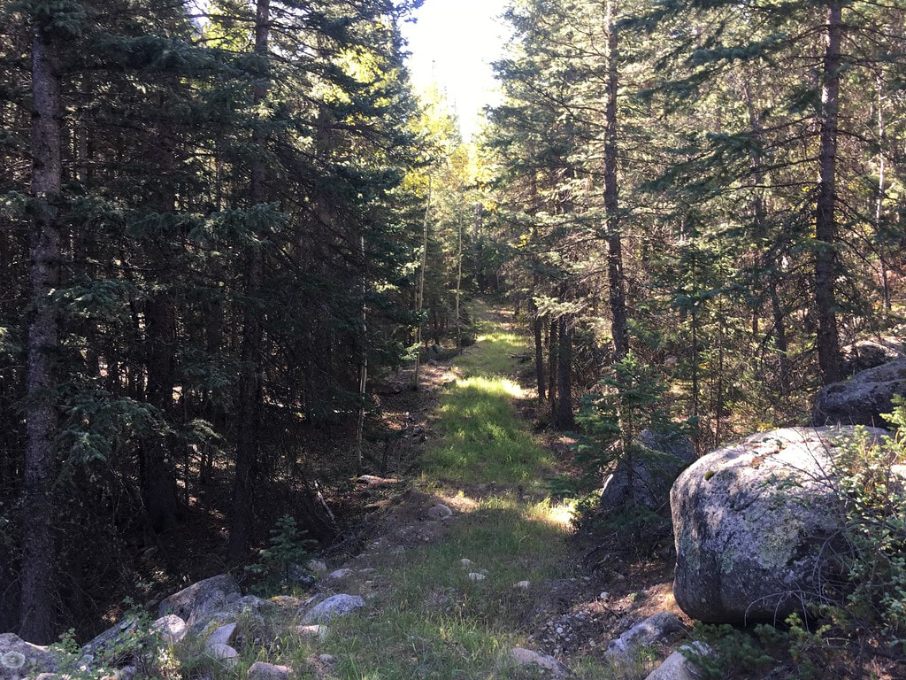
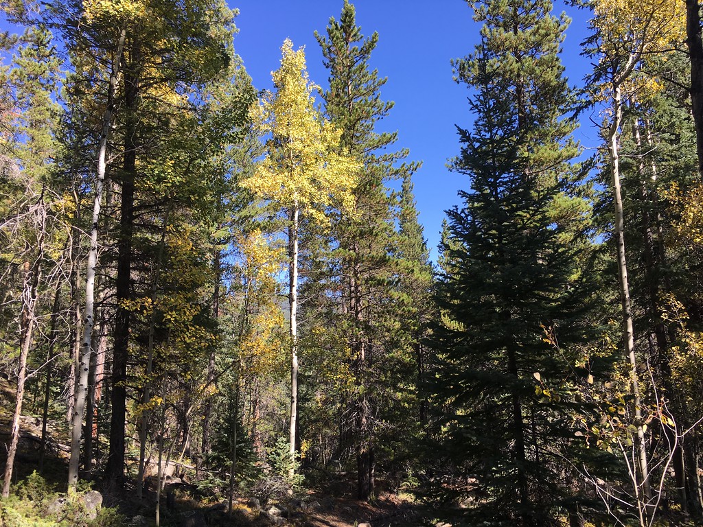
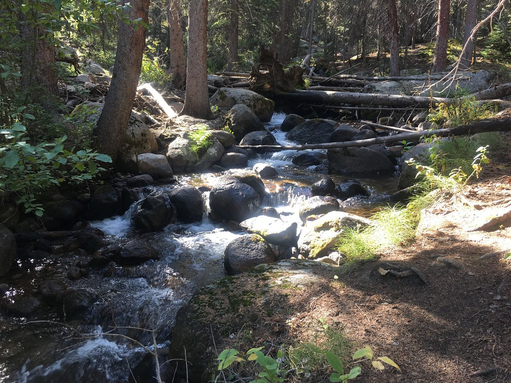
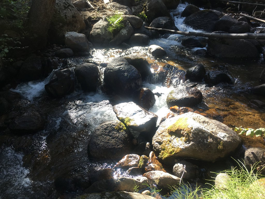
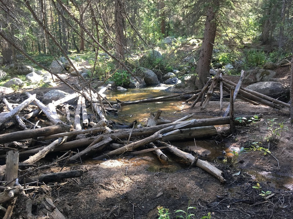
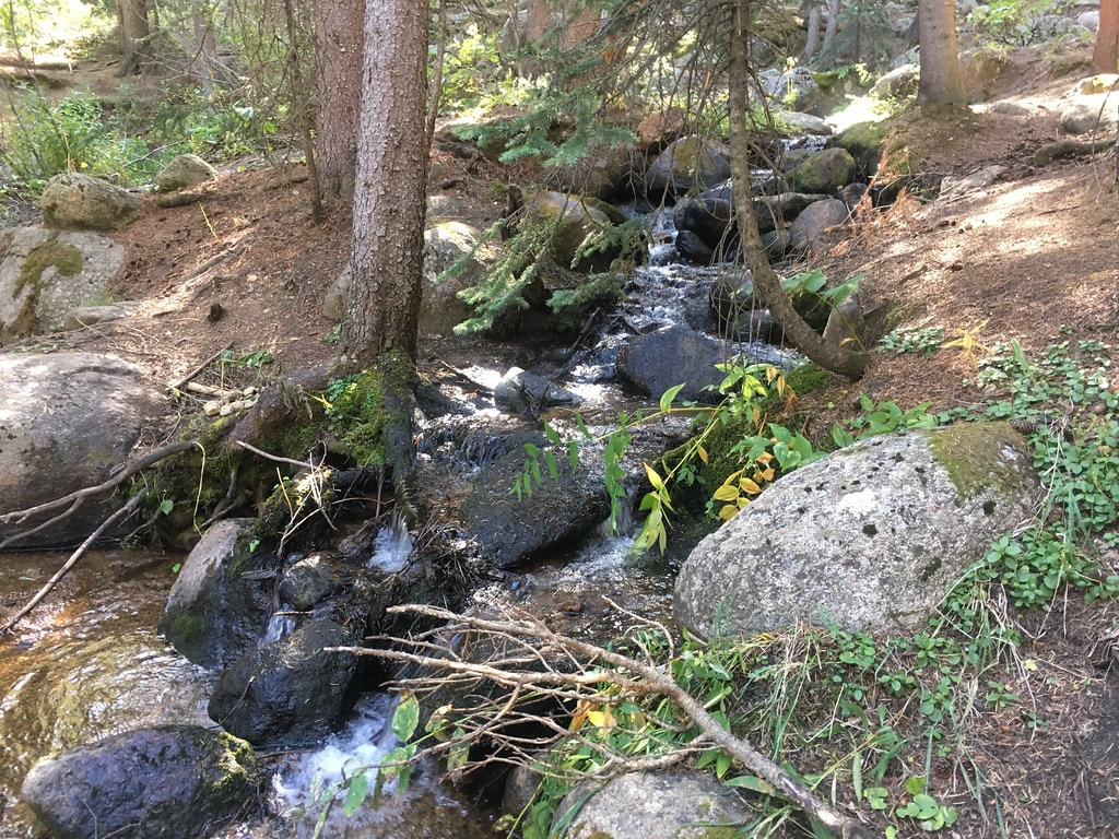
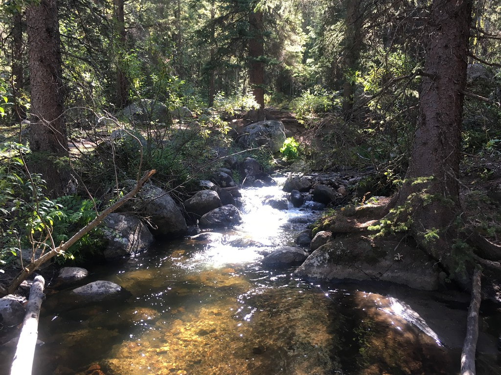
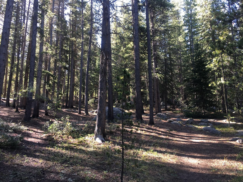
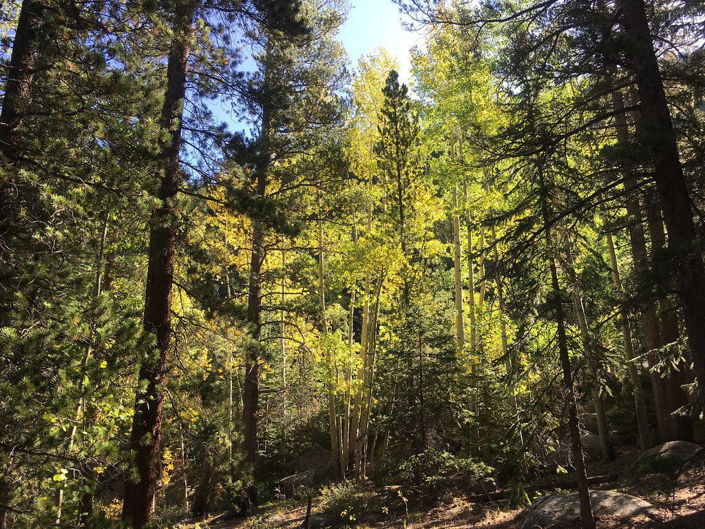
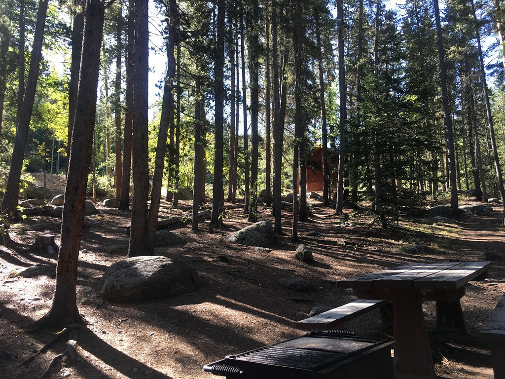
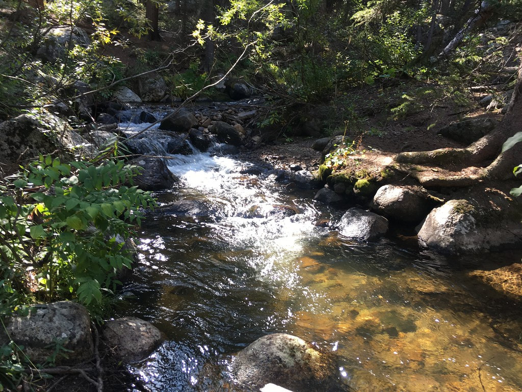
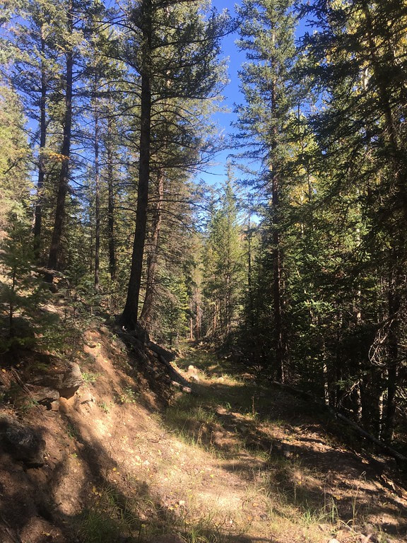
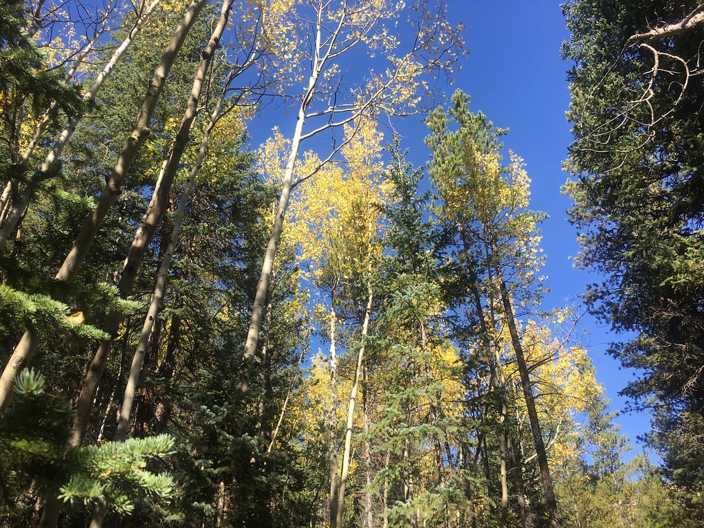
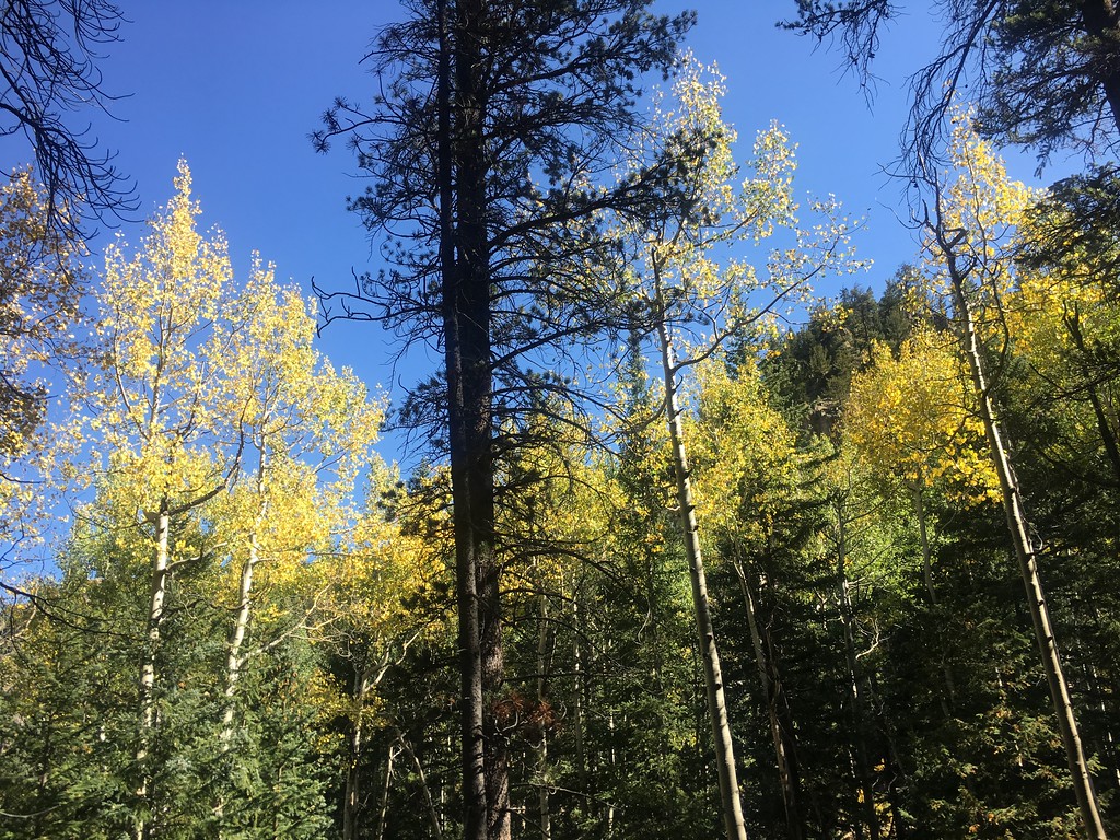
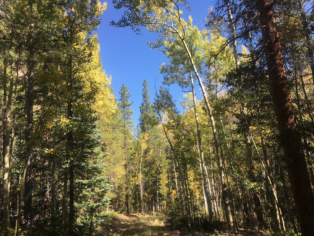
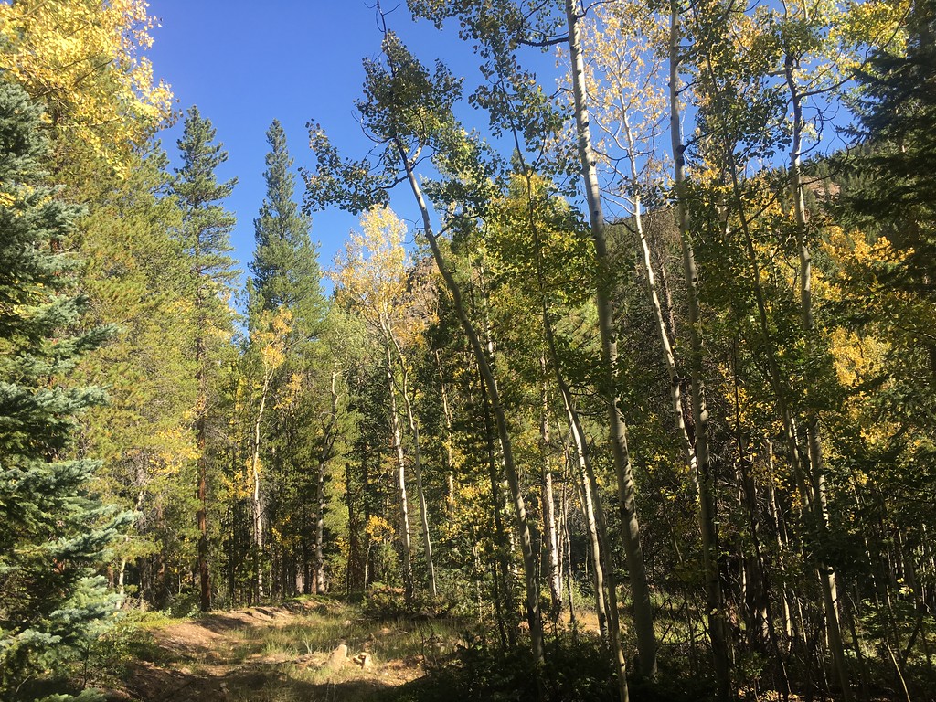
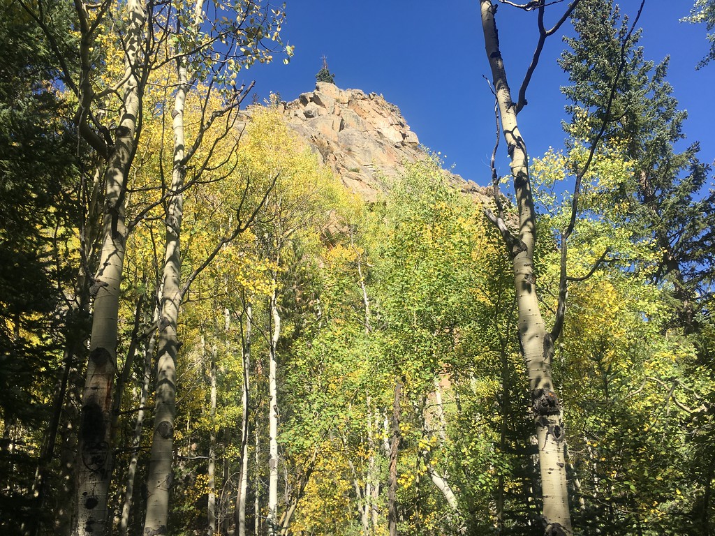
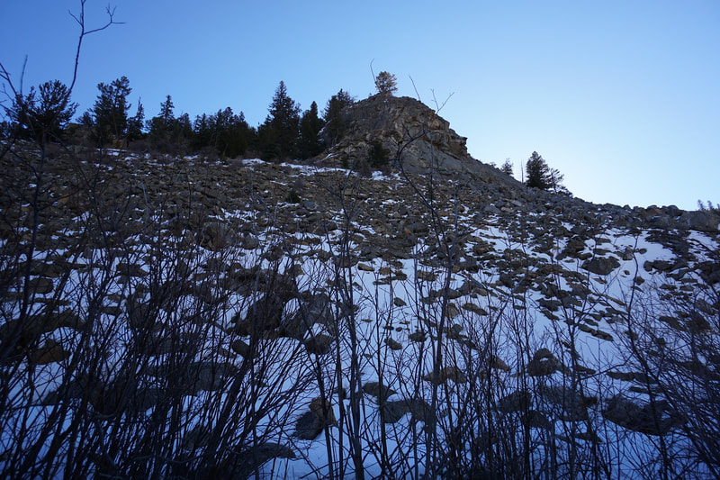
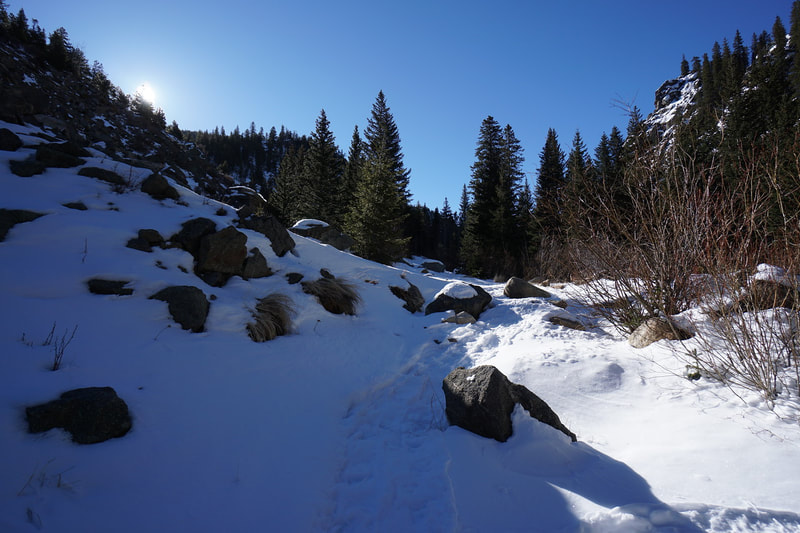
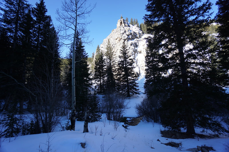
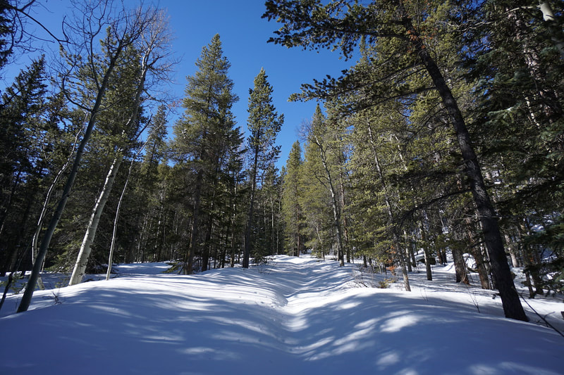
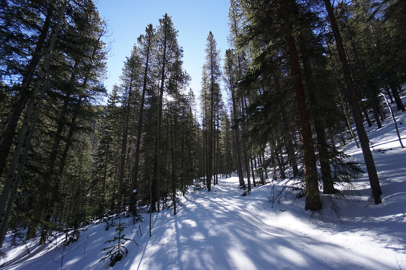
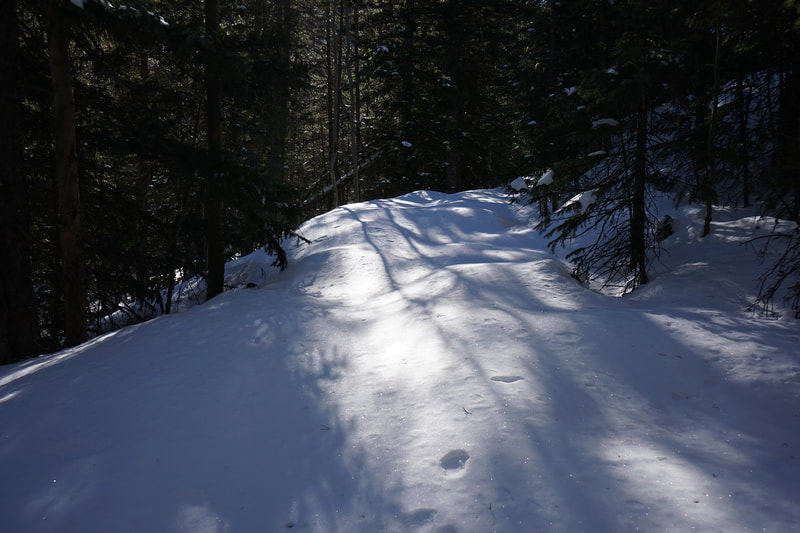
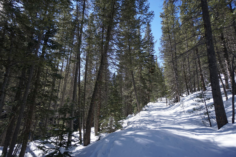
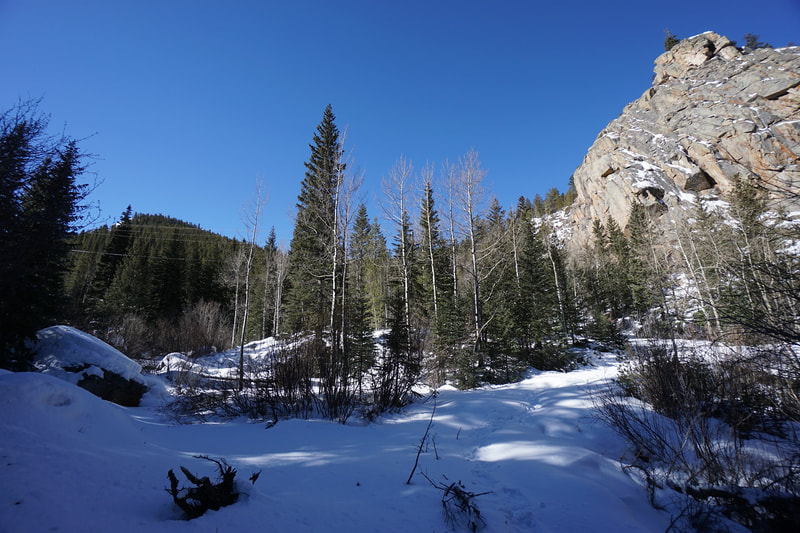
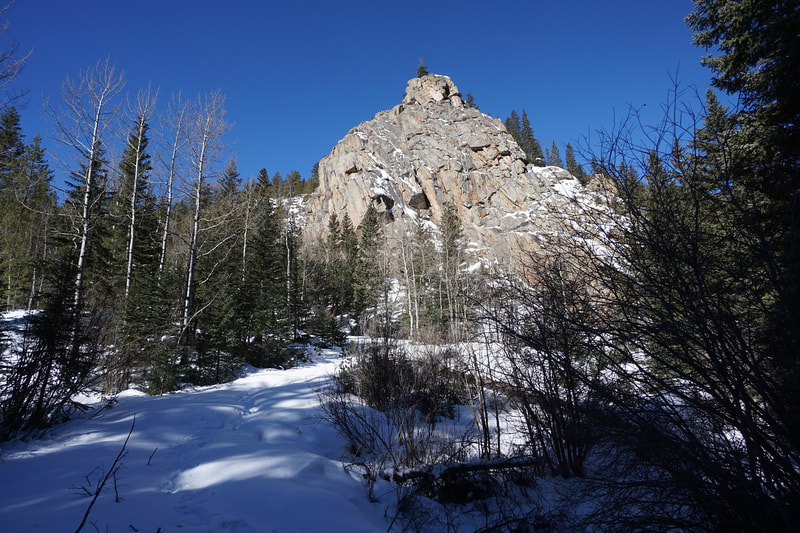
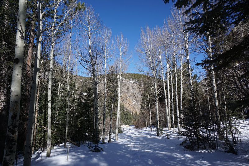
This road parallels Squaw Pass Road hundreds of feet below the road at the bottom of a canyon. The road follows Chicago Creek as it cascades down the canyon. The road is in terrible shape and therefore it is not an easy hike along a dirt road. This road is not at all maintained and is slowly being restored by nature...overgrown, rocky, and bumpy. That being said...it makes for a decent hiking trail, especially in the fall. The pine forest surrounding the trail is mixed with Aspen groves glowing gold in late September. I tried to snowshoe this trail earlier this year, but the snow was extremely deep and the bumpy nature of the road bed resulted in frequent postholing...even in snowshoes...making it a very difficult winter hike. (See 2nd Photo Gallery) From the trailhead, duck under the gate and squeeze through the boulders to find the "trail." The trail skirts a boulder field, traverses some high willows, and eventually leads down to Chicago Creek. Cross the creek to the other side and follow the trail up-canyon. The trail stays pretty high above Chicago Creek but there are frequent spots where you can easily get down to the river. In some of these areas you'll find some pleasant spots with old fire-rings and comfortable clearings. After about half a mile of hiking, you'll arrive at a road junction. If you stay straight, the road climbs further up the canyon. If you turn left and head downhill, the road leads down to Chicago Creek. Follow a faint trail along the creek and you'll soon come to an obvious creek crossing. Cross over and continue to the follow the creek. Before long you'll arrive at the Chicago Forks Picnic Area. This is a very scenic spot with multiple picnic tables and access to a beautiful stretch of Chicago Creek. Living in Denver, the Mount Evans area is some of the closest mountain hiking that you can find. I like to search for the quieter tucked away trails to get away from the summer and fall crowds and this trail certainly fits the bill. I hiked Excelsior on the Saturday of one of the busier fall weekends and saw no one on this hike. It's not the prettiest hike and is no where near the level of nearby Hells Hole, but it is quiet, has wonderful fall colors, and precious solitude. |
March 17, 2019 |
- HOME
- ABOUT
-
HIKES BY REGION
-
NATIONAL PARK HIKES
- BENT'S OLD FORT NATIONAL HISTORIC SITE
- BLACK CANYON OF THE GUNNISON NATIONAL PARK
- COLORADO NATIONAL MONUMENT
- CURECANTI NATIONAL RECREATION AREA
- DINOSAUR NATIONAL MONUMENT
- FLORISSANT FOSSIL BEDS NATIONAL MONUMENT
- MESA VERDE NATIONAL PARK
- ROCKY MOUNTAIN NATIONAL PARK
- GREAT SAND DUNES NATIONAL PARK
- HOVENWEEP NATIONAL MONUMENT
- SAND CREEK MASSACRE NATIONAL HISTORIC SITE
- YUCCA HOUSE NATIONAL MONUMENT
- HIKES BY CATEGORY
- NEWS
- WEBCAMS
- $UPPORT GHC
- INTERACTIVE MAP
Excelsior to Chicago Forks
Arapaho National Forest
Date Hiked: September 21, 2019
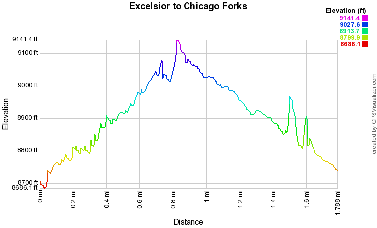
Distance: 1.8 mi (RT)
Elevation Gain: 600 ft
Elevation Min/Max: 8,686 to 9,141 ft
Trailhead Lat/Long: 39º 41' 36" N; 105º 36' 59" W
Managing Agency: U.S. Forest Service
Fee: None

