GO HIKE COLORADO
Get in Touch:
  • HOME
  • ABOUT
  • HIKES BY REGION
    • DENVER AREA >
      • Denver Mountain Parks
      • Jefferson County Open Space
      • Lakewood Parks
      • Denver Area Greenways
    • BOULDER AREA
    • DOUGLAS COUNTY
    • FORT COLLINS AREA
    • COLORADO SPRINGS AREA
    • FRONT RANGE
    • TENMILE & MOSQUITO RANGES
    • GORE RANGE
    • SANGRE DE CRISTO MOUNTAINS
    • PARK RANGE
    • SAWATCH RANGE
    • ELK MOUNTAINS
    • SAN JUAN MOUNTAINS
    • THE FLAT TOPS
    • GRAND MESA
    • COLORADO PLATEAU
    • EASTERN PLAINS
  • NATIONAL PARK HIKES
    • BENT'S OLD FORT NATIONAL HISTORIC SITE
    • BLACK CANYON OF THE GUNNISON NATIONAL PARK
    • COLORADO NATIONAL MONUMENT
    • CURECANTI NATIONAL RECREATION AREA
    • DINOSAUR NATIONAL MONUMENT
    • FLORISSANT FOSSIL BEDS NATIONAL MONUMENT
    • MESA VERDE NATIONAL PARK
    • ROCKY MOUNTAIN NATIONAL PARK
    • GREAT SAND DUNES NATIONAL PARK
    • HOVENWEEP NATIONAL MONUMENT
    • SAND CREEK MASSACRE NATIONAL HISTORIC SITE
    • YUCCA HOUSE NATIONAL MONUMENT
  • HIKES BY CATEGORY
    • HIKES TO ALPINE LAKES
    • HIKES TO PEAKS & PASSES
    • HIKES THROUGH CANYONS
    • HIKES WITH FALL COLORS
    • HIKES ALONG THE I-70 CORRIDOR
    • HIKES ON PAVED TRAILS
    • HIKES FOR KIDS
    • HIKES TO WATERFALLS
    • HIKES ALONG RIVERS
    • HIKES WITH ROCK FORMATIONS
    • HIKES WITH WILDFLOWERS
    • WINTER HIKES
  • NEWS
  • WEBCAMS
  • $UPPORT GHC
  • INTERACTIVE MAP

Hells Hole Trail
Mount Evans Wilderness
Arapaho National Forest

Date Hiked: July 7, 2013

Distance: 8.4 miles (RT)
Elevation Gain: 2,046ft
Elevation Min/Max: 9,656 to 11,560ft
Trailhead Lat/Long: 39.677921 N; 105.660061 W
Managing Agency: U.S. Forest Service
Fee: None

Hells Hole Trail Webpage (USFS)
Picture

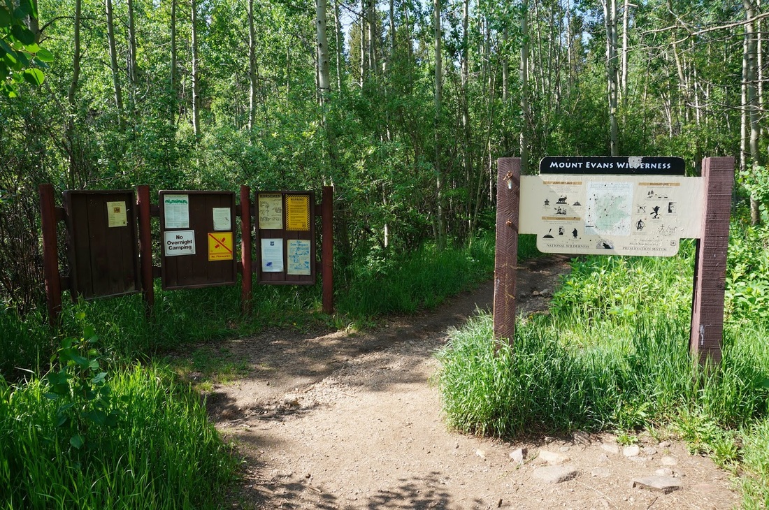
Directions:  From Denver, head west on I-70 to Idaho Springs.  Take the Mount Evans exit and travel southwest on 103, Chicago Creek Road.  Make a right on W. Chicago Creek Road a dirt road that is passable to 2 WD vehicles.  Follow the road to the end where there is a large parking area and a Forest Service campground.

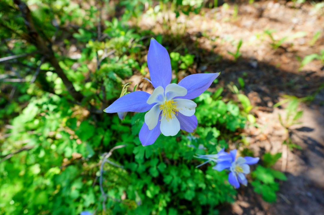
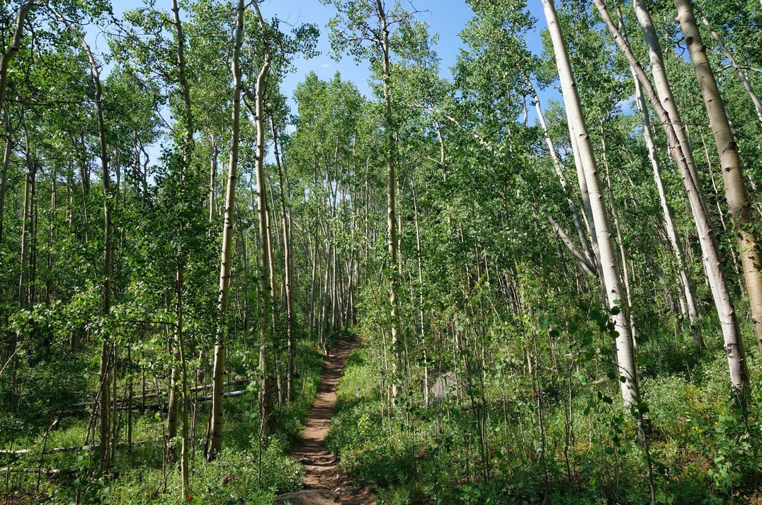
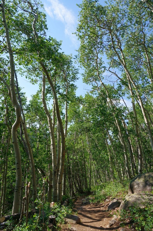
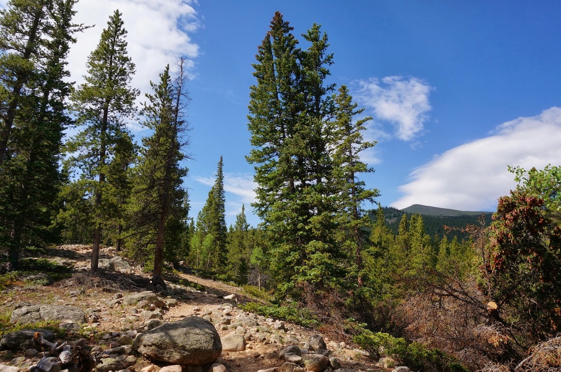
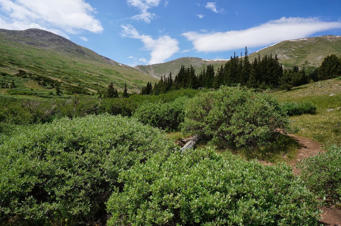
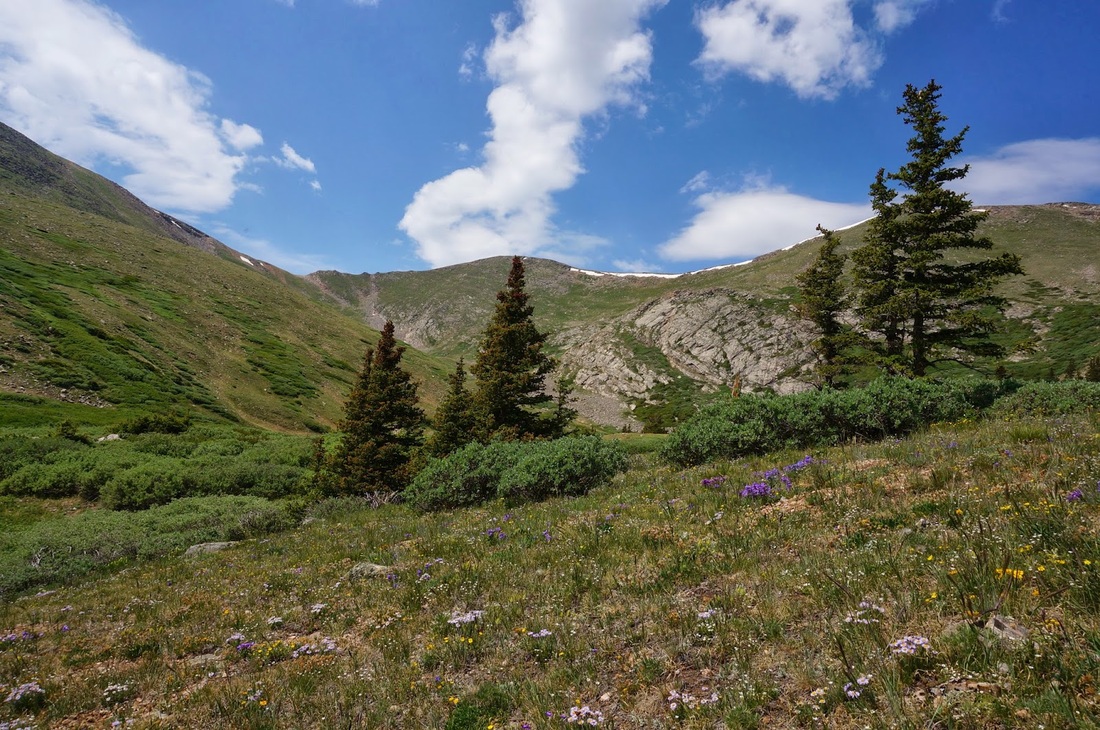
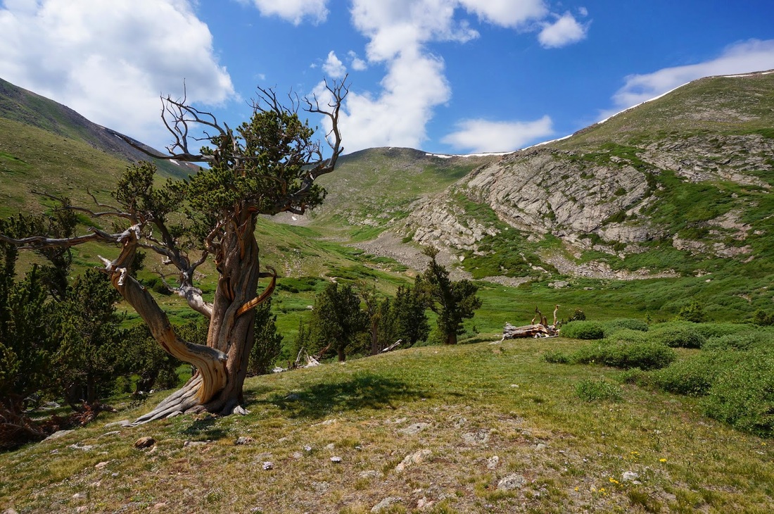
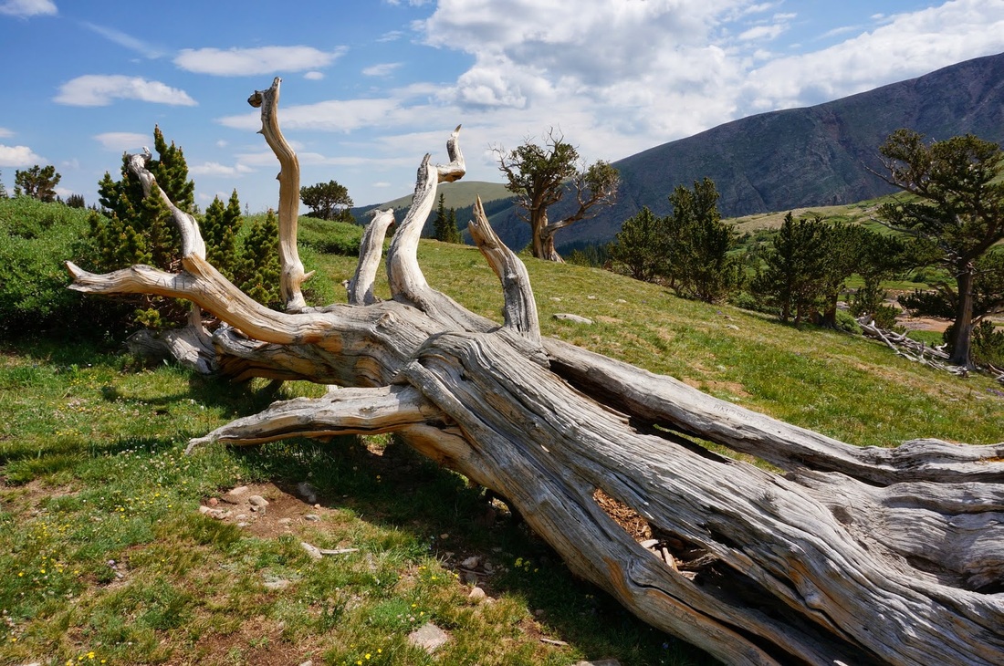
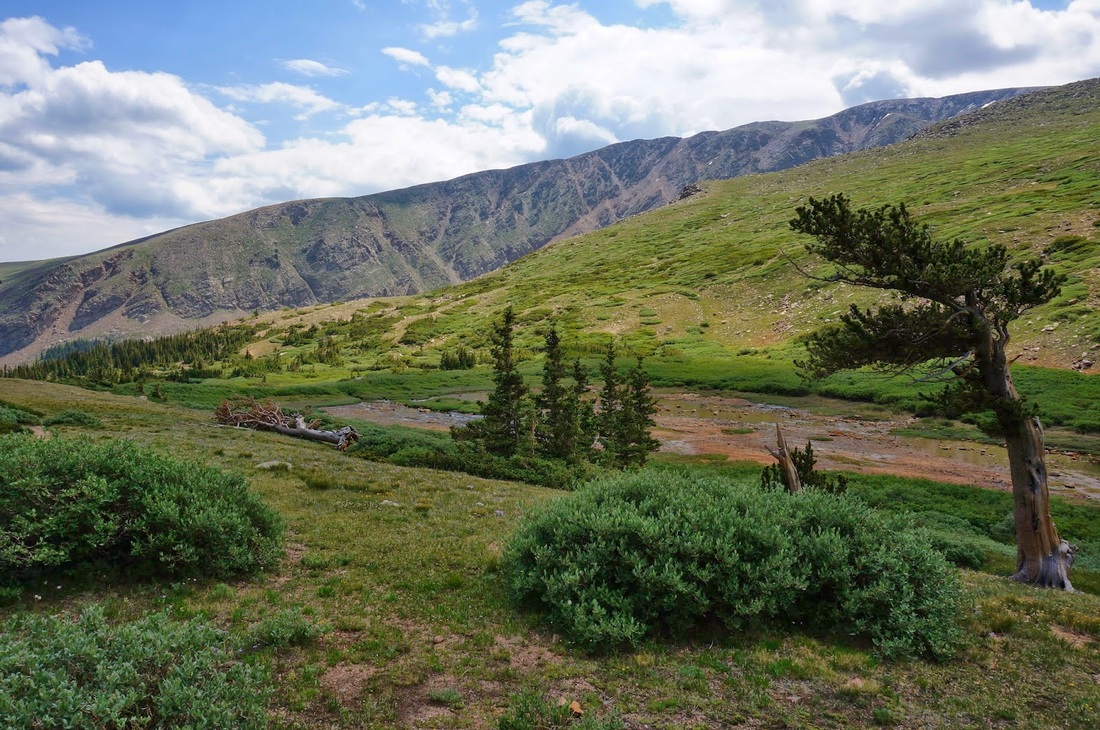
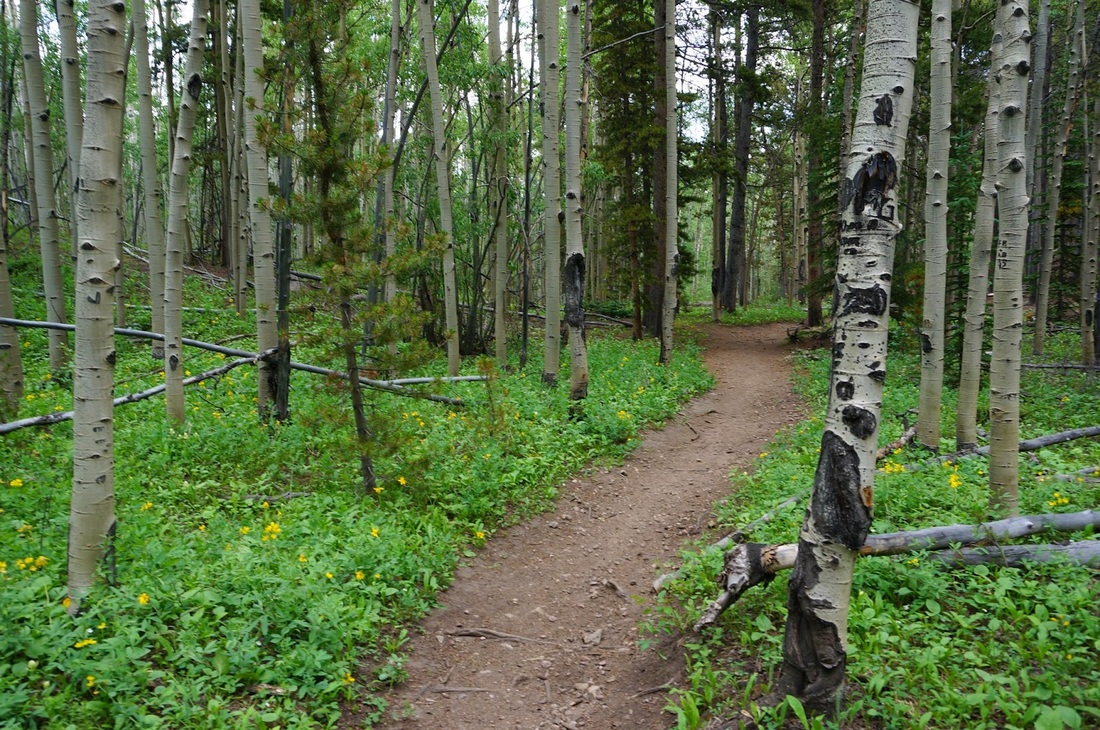
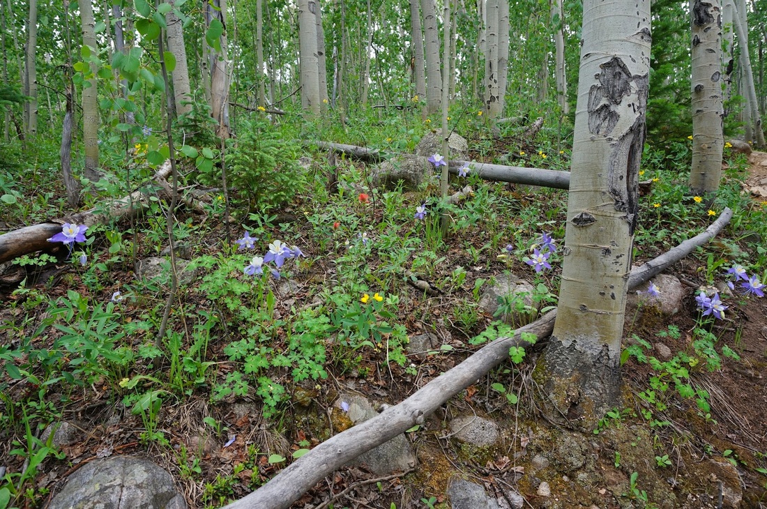
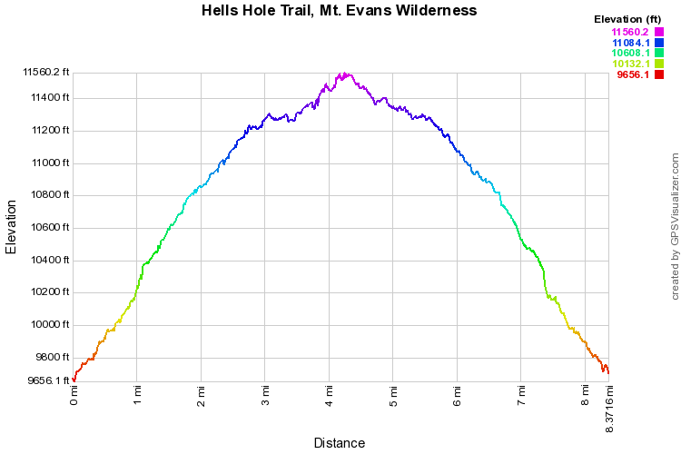
The trail is a straight shot, no switchbacks, no turns, just follow the trail until it literally, ends.  You start out in beautiful aspen forest with abundant wildflowers if the timing is right.  This trail, I've heard, is fantastic in the fall.  You cross a few creeks, ascend to some ridges, but mostly hike through the forest.  The trail opens up towards the end, and while you never do break treeline, it feels like it as you approach Hells Hole.  Hells Hole is just a small flat area that at one time must have been a lake, now a grassy flatland at the foot of Greywolf Mountain.  There are plenty of old wind blown pines (bristlecone maybe?) to make for a very surreal location.  Take in the scenery and follow the trail back to the trailhead.  While this trail lacks the jagged alpine wonder of other nearby trails in the Mt. Evans Wilderness (see the Chicago Creek Trail) it does provide for a wonderful escape into the wilderness and showcases the understated beauty of this area without the crowds of Mount Evans Road.

Powered by Create your own unique website with customizable templates.