|
|
|
Directions: From Idaho Springs head north on 103 towards Mt. Evans. Turn right onto West Chicago Creek Road towards the West Chicago Creek Campground and the Hells Hole Trailhead. Just before the hairpin turn there is a small pull-off to the right, a wood fence and a sign that says no camping. Park here, this is the trailhead.
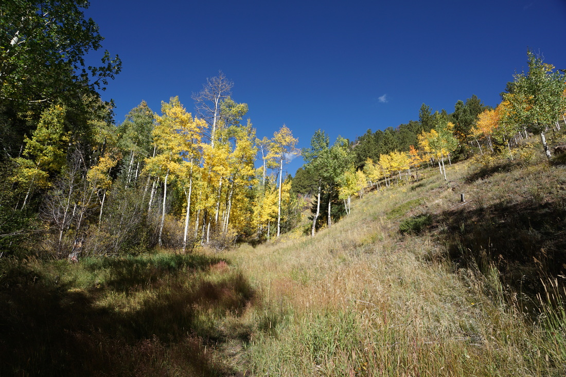
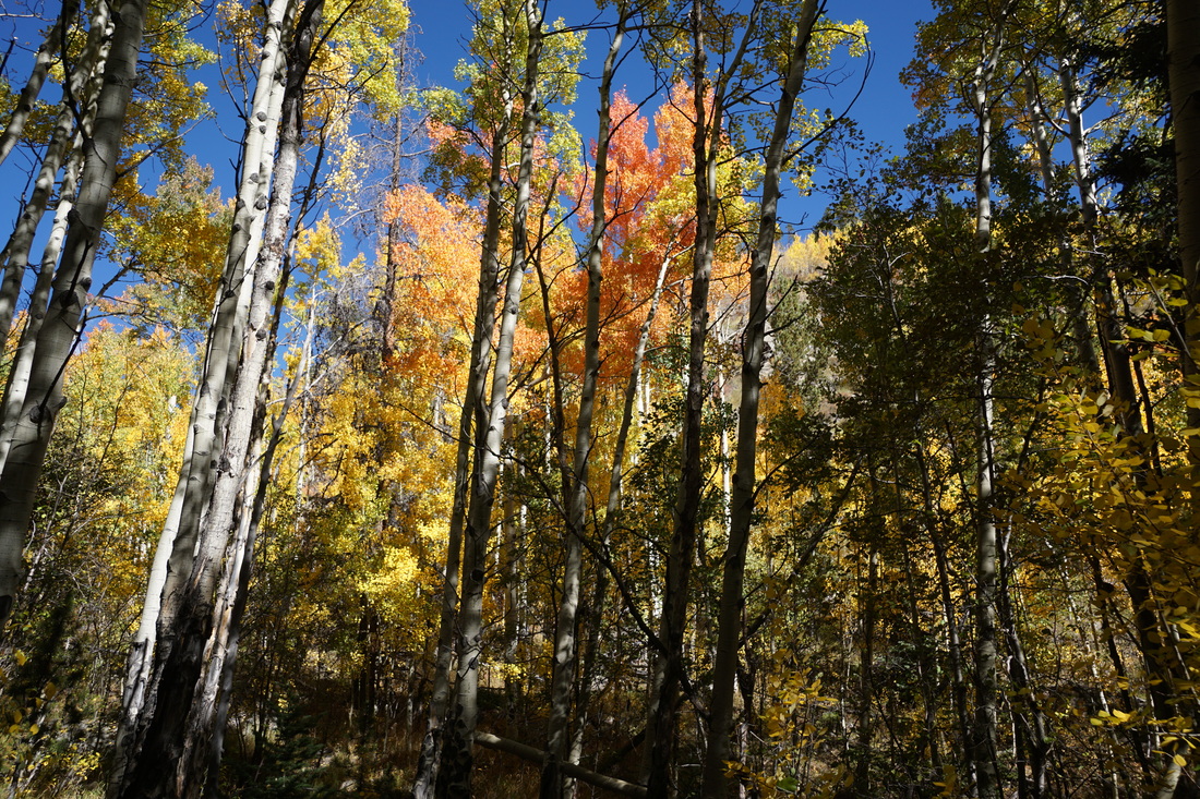
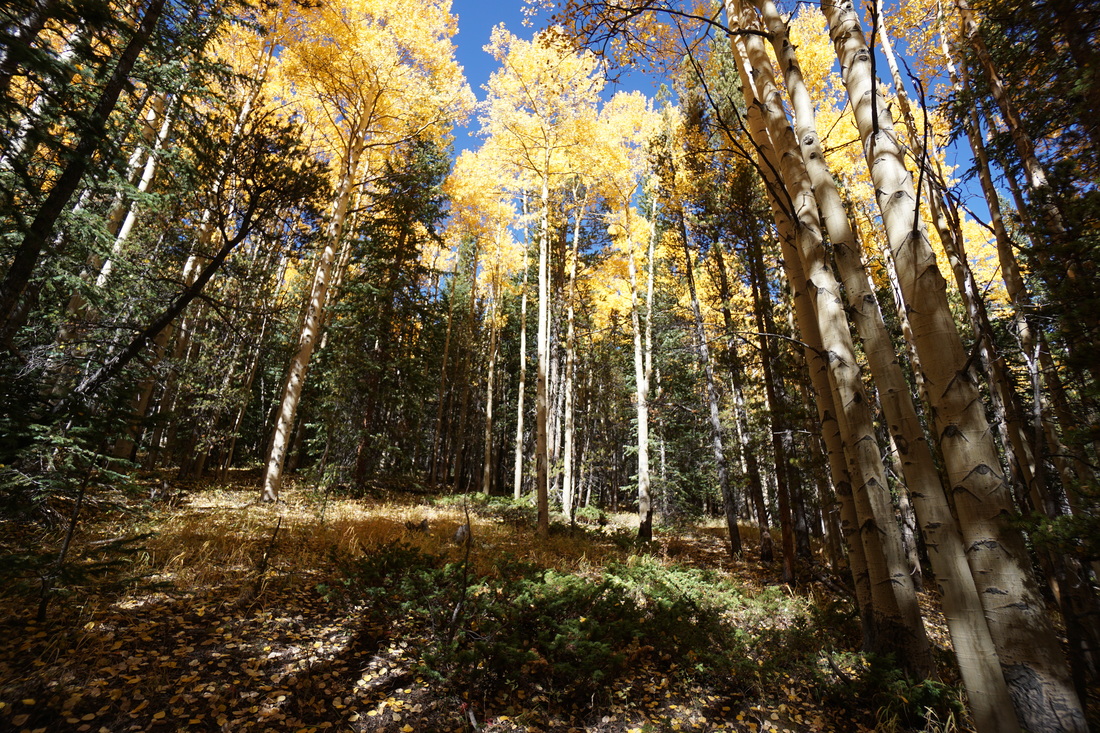
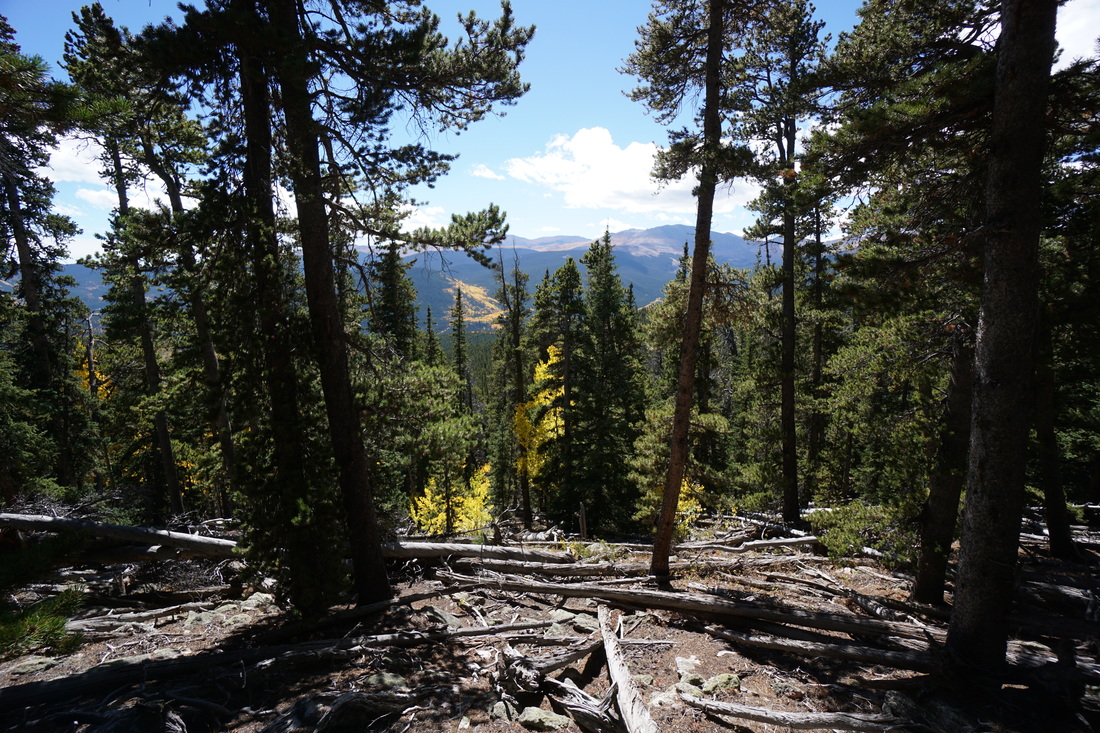
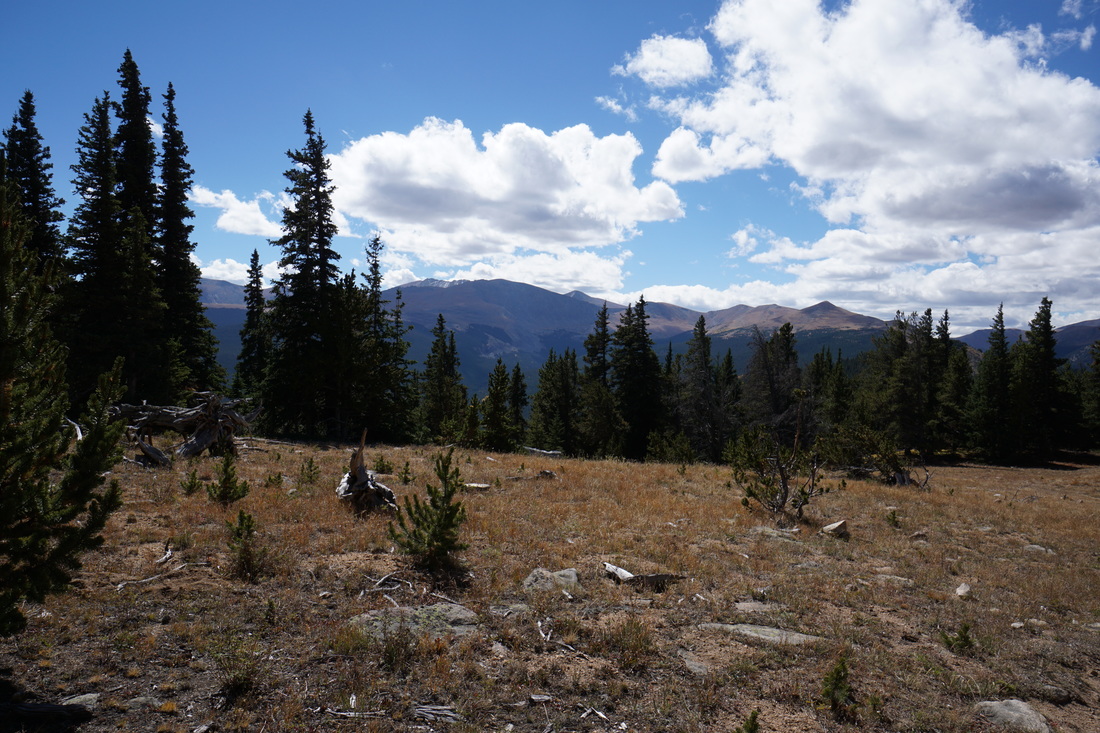
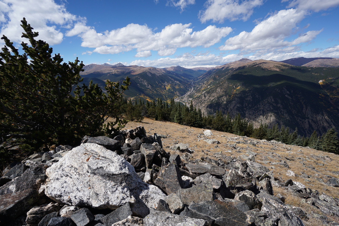
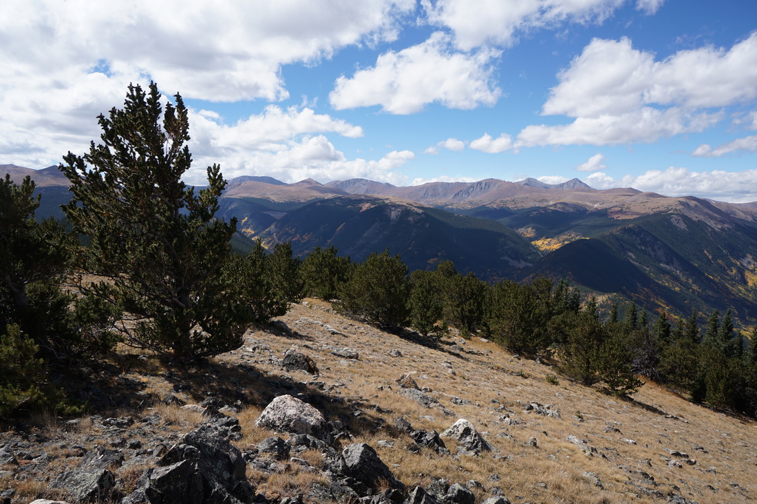
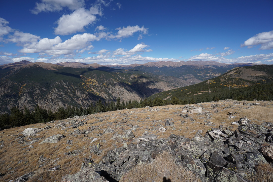
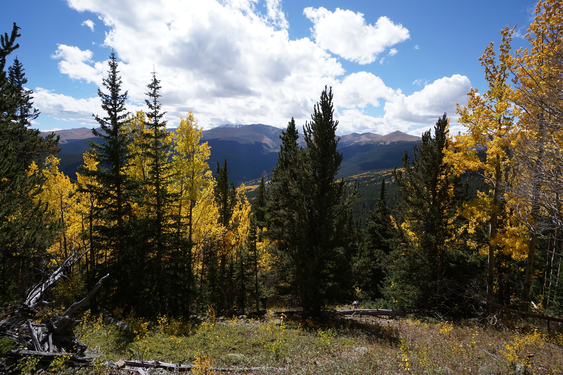
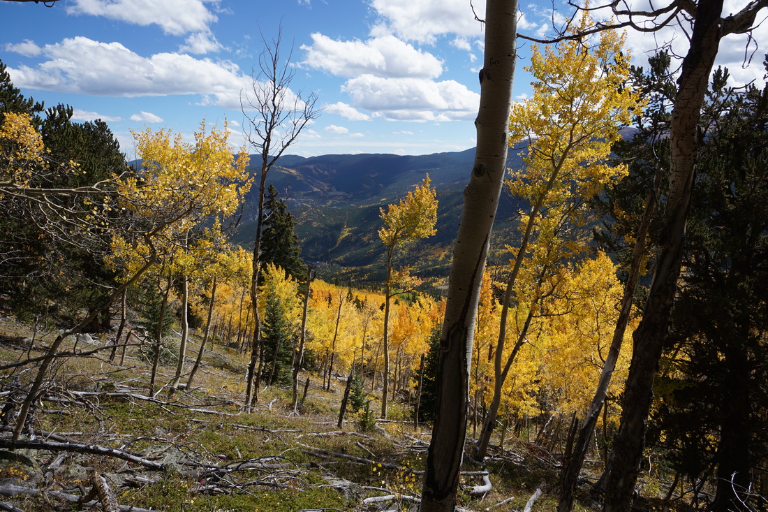
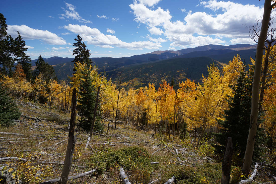
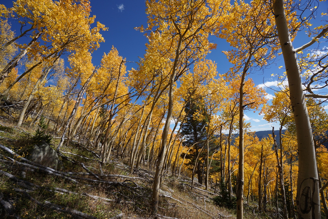
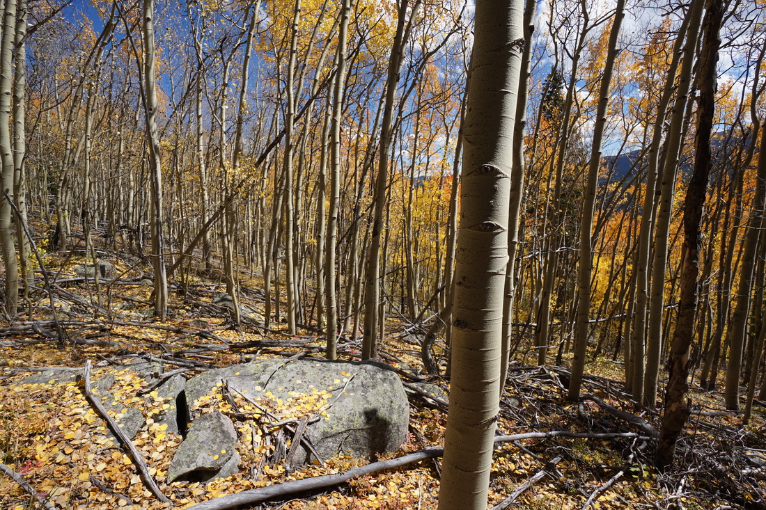
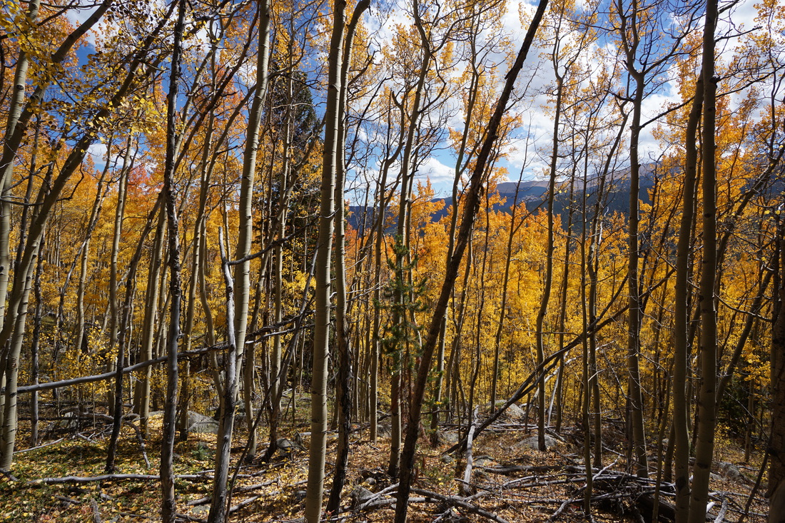
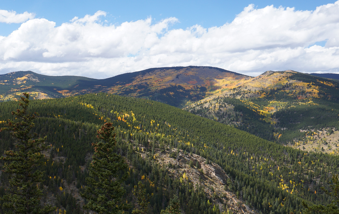
Griffith Mountain is an unremarkable peak along the Mt. Evans ridge, that eventually link to Sugarloaf Mt., Gray Wolf Mt., and Mt. Evans. The summit lies just above treeline and while the views are tremendous, the peak sees little visitation. While the peak is unremarkable, the south facing slopes contain one of the most remarkable aspen groves on the Front Range. The Grove is absolutely massive and stretches on for miles (see photo below). However, there are no trails accessing this grove so if you want to explore it (and have it all to yourself) get ready for some bushwhacking.
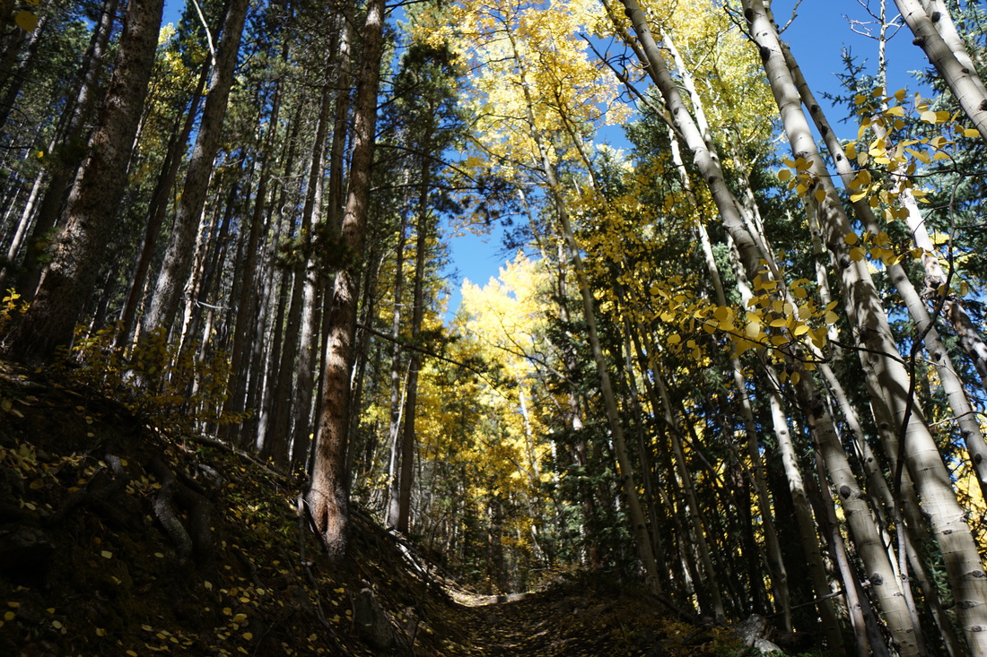
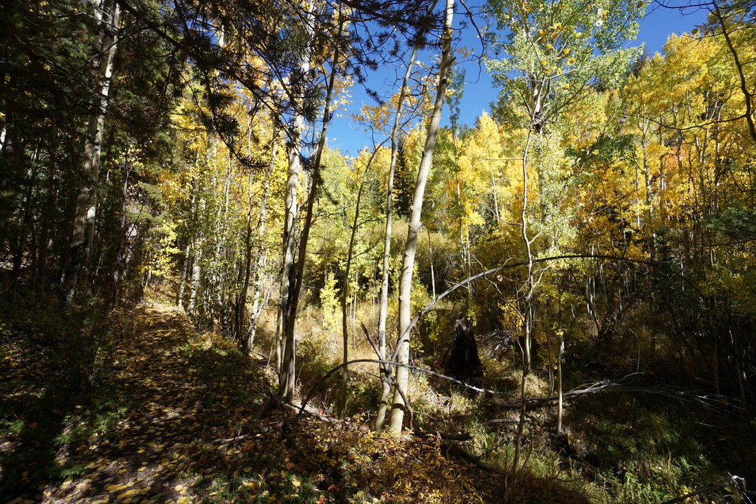
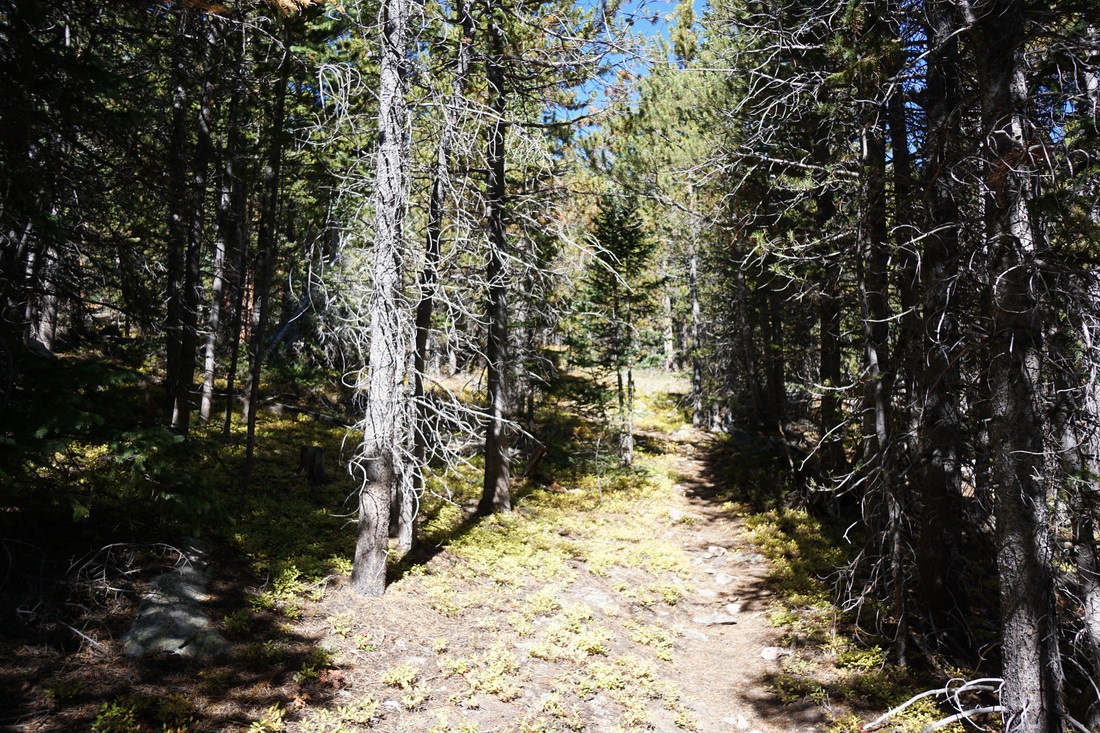
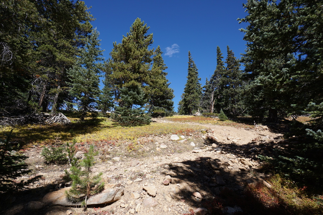
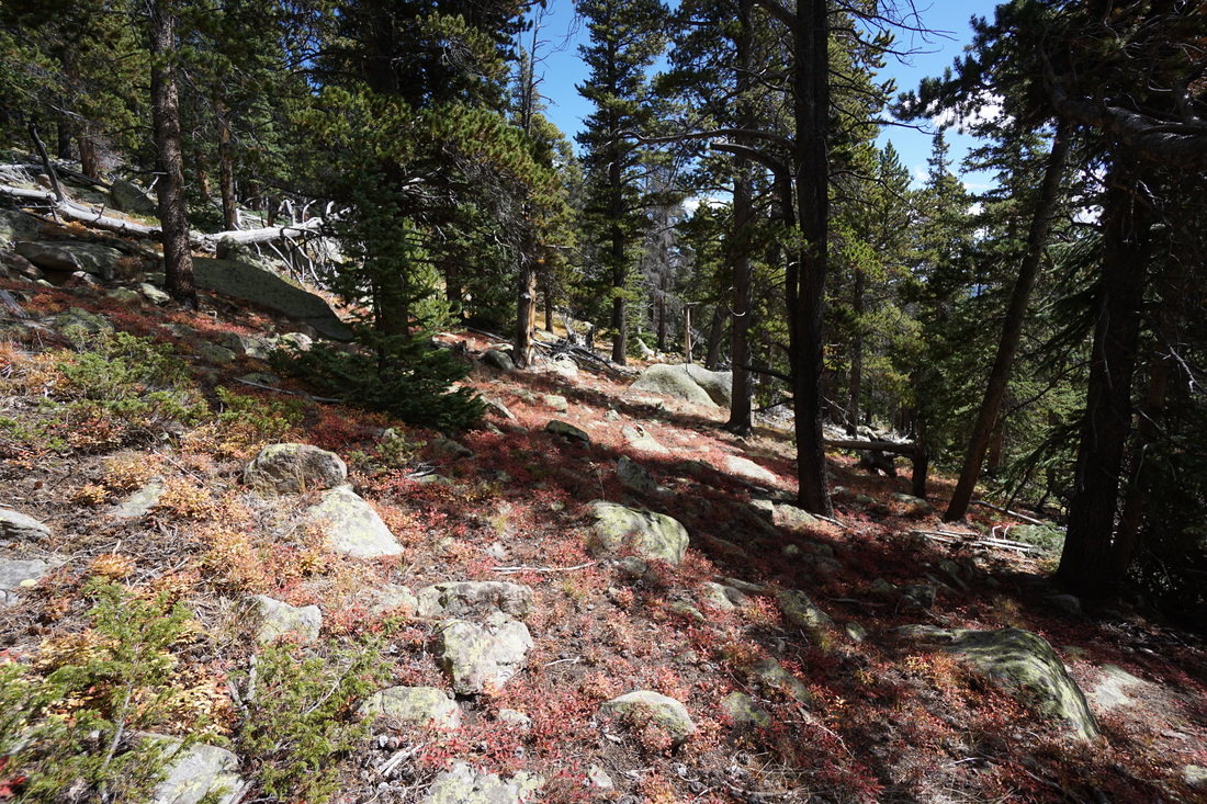
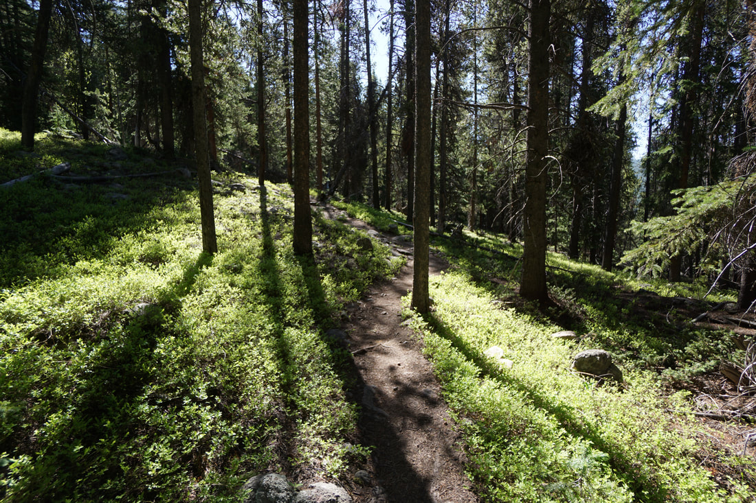
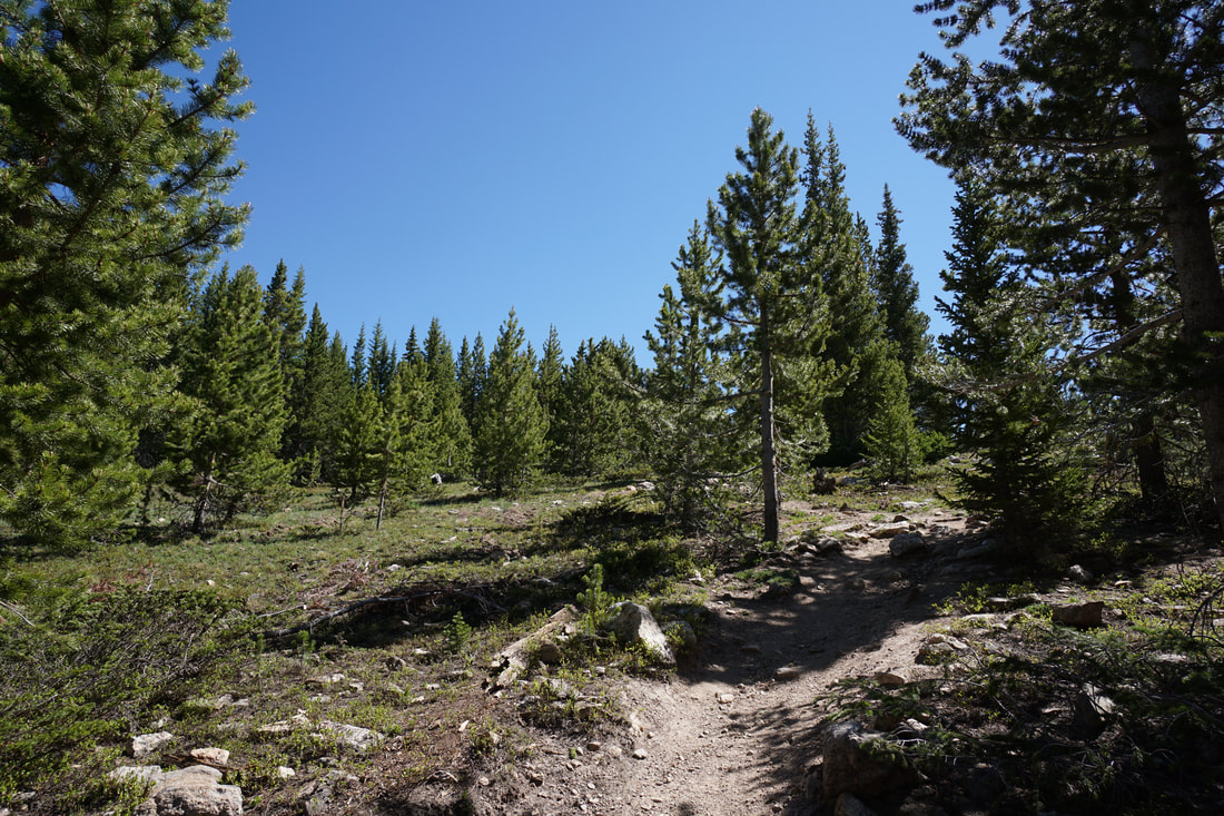
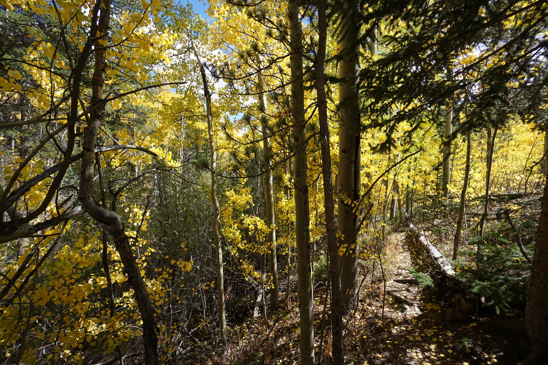
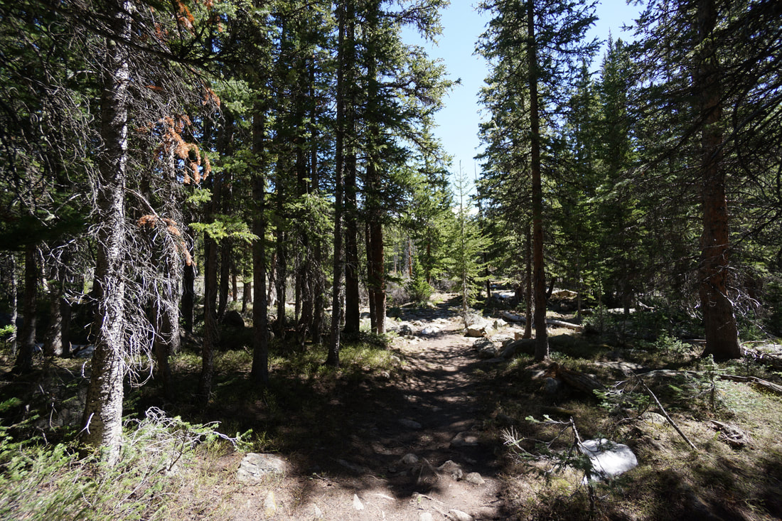
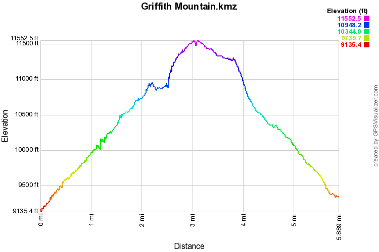
The trail consists of a old mining road and for the 1st mile north of W. Chicago Creek Road the trail is well established and easy to follow. In fact, if you are looking for a nice quite fall hike without any bushwhacking, hiking the 1st mile of the trail is perfect. After the 1st mile, the trail fades and you need to start bushwhacking and route-finding. Please do not attempt this hike without a map, a compass, and a GPS device. Orient yourself towards Griffith Mt. due north and just keep going. The terrain is not overly difficult so just keep heading uphill.
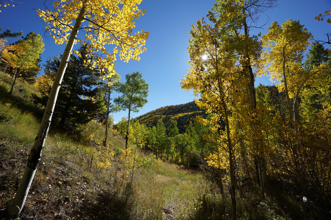
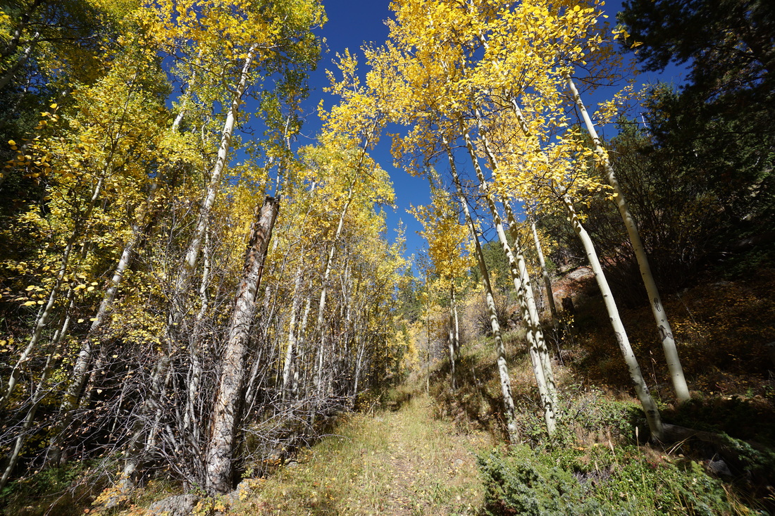
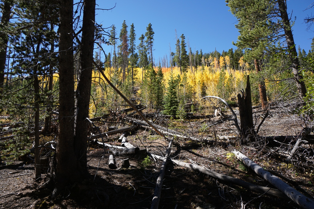
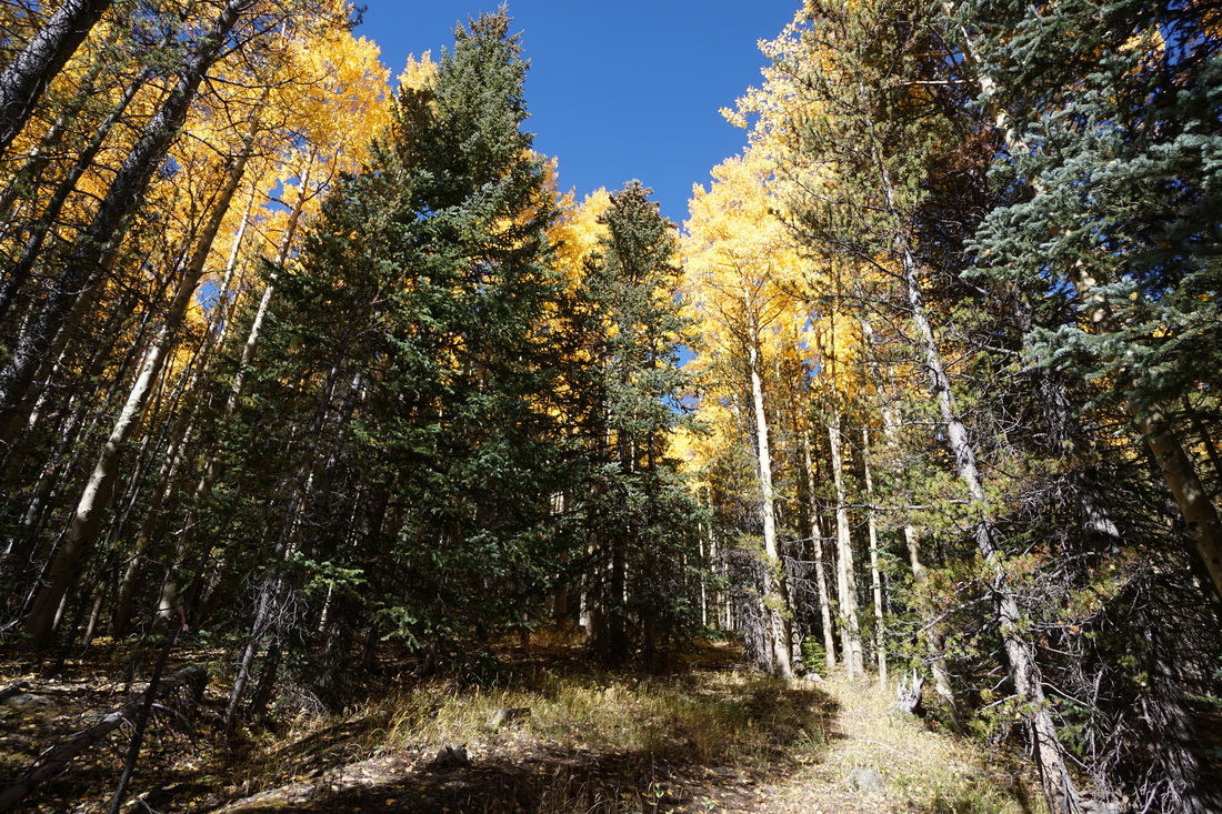
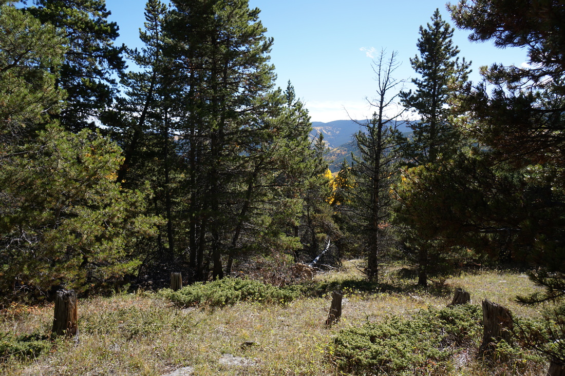
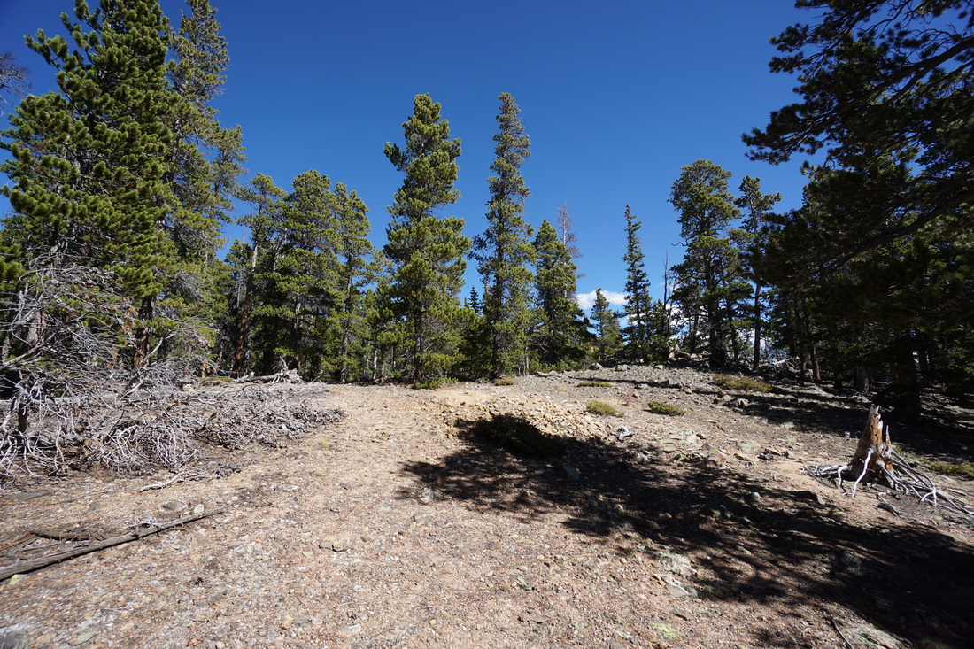
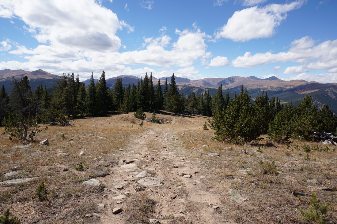
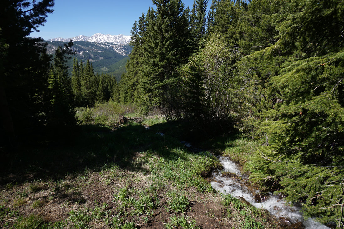
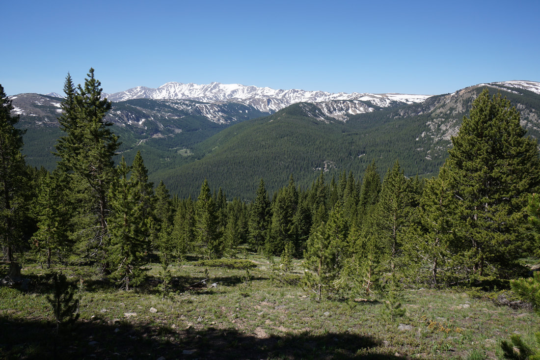
After a 1/4 of a mile of bushwhacking, you'll hit an old mining road. The road runs east to west so it provides a good and reliable landmark to keep you on track. From the road you have a few options. If you want to use the road to gain elevation, turn left (west) and follow the road uphill. If you want to head straight for the aspen grove, turn right and head downhill for a little ways before breaking uphill to the north to enter the grove. If you want to head straight for the peak, ignore the road and continue bushwhacking north. If you turn west and use the road then you can follow it for about .3 miles until you see a small cairn and the road ends just a few steps further. Turn right here and follow the path of least resistance up hill. This portion is easy to follow and in less than .2 mile you'll reach an established trail. After another .12 of a mile you'll reach a clearing. Just before the clearing, break trail and bushwhack northeast heading back towards the peak. After .2 mile of path of least resistance hiking you'll reach a rocky outcropping with views of Griffith Mt. From here, head downhill and use your GPS/compass/map to point yourself in the direction of the peak. The uphill climb to the peak is a slow slog over dead-fall but it doesn't last too long, keep going. When the trail evens out you'll reach a dirt road. The road leads to the top of the ridge and on to the peak. The views from the top are magnificent, Mt. Evans, Bierstadt, Grays, Torreys, etc... From the peak, you can work your way back the way you came, but I highly suggest that you explore the aspen grove for a little ways on the way down. Make sure that you follow the road back to where you first found it, it is vital that you ensure that you are in the right drainage before heading back down. From this point, head due east and keep going until you see aspens. You will be at about 11,300 ft elevation and at the top portion of the grove. Once you are fully immersed in aspens, use your tools to point back to the abandoned road and just head in that direction, you'll be aspen grove for the entire time. Once on the road work your way back to the trail and on to the trailhead. This trail is not easy but your rewards are incredible. This is one of the most majestic aspen groves and surely the finest this close to Denver. The best part is that while there are millions of people along the roads and while the Hells Hole Trail is packed, there will be no one on this trail. It is a hidden gem for sure, but you pay for it with a difficult trek. |
|