|
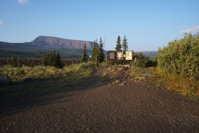
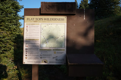
Directions from Yampa: Travel West on Routt County Rd #7 approximately 7 miles to FR 900. Travel another 10 miles on FR 900 to the end of the road. FR 900 is a good (although washboard) dirt road generally fine for passenger cars. There is a fairly large parking lot, restrooms, and an easy to find trailhead.
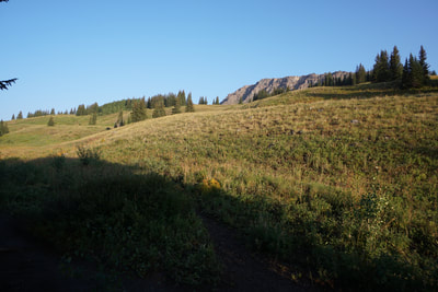
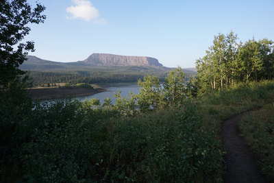
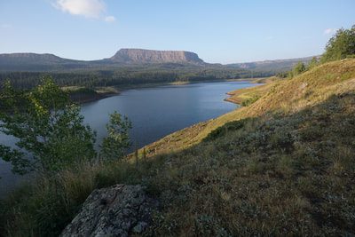
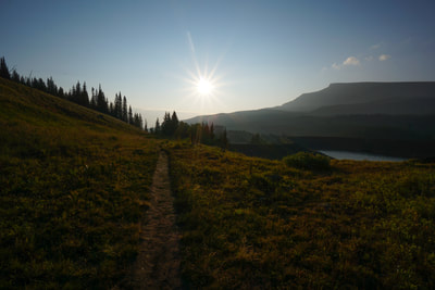
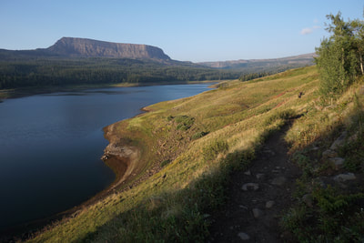
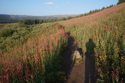
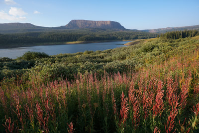
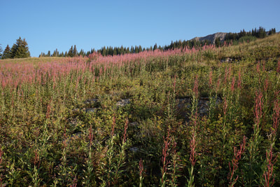
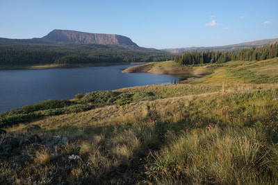
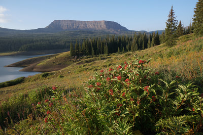
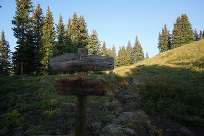
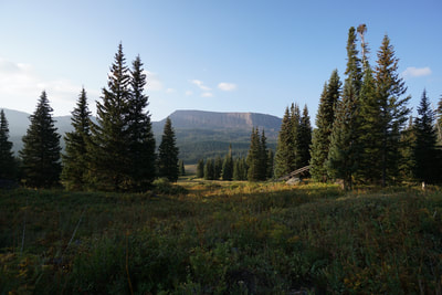
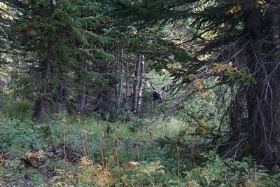
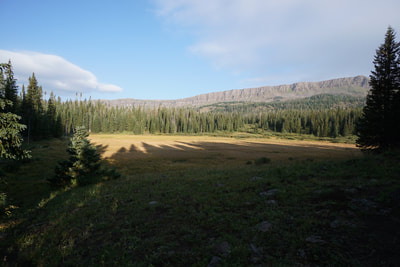
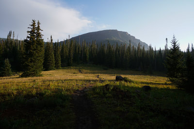
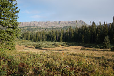
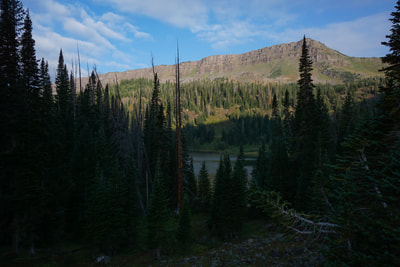
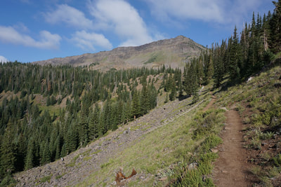
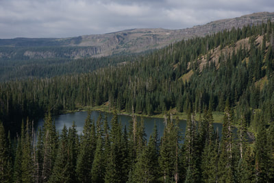
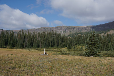
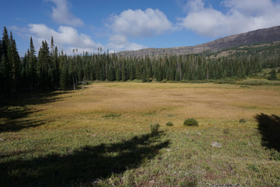
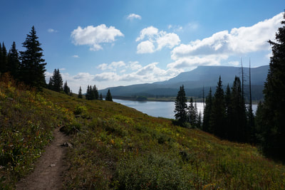
The East Fork Trail starts from the Stillwater Reservoir, a worthy destination in its own right… The trail begins by following the western shore of the reservoir through aspen groves and wild flower covered meadows. After about .7 miles, the trail splits and heads north into the Flat Tops Wilderness. The trail traverses dense pine forest (look out for moose in the early morning) and crosses meadows with wonderful views of the cliff wall to the west. After about 1 mile of hiking you’ll reach Little Causeway Lake.
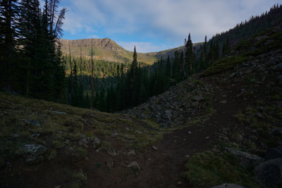
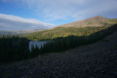
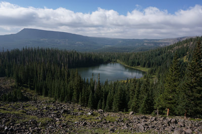
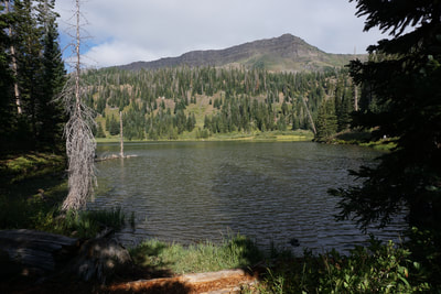
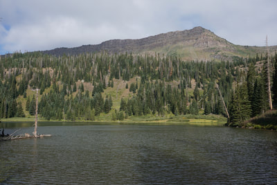
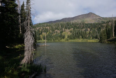
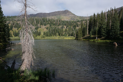
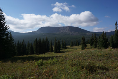
Little Causeway Lake is an idyllic spot, similar to many Flat Tops lakes with a great views of the Devil’s Causeway to the North. For many people, Little Causeway Lake is a resting spot for the Devil's Causeway. However, the lake is also a popular spot for fishing and if you are looking for an easy hike into the wilderness, with a little more to it than Smith Lake, then this destination will surely satisfy. There are social trails going around the lake to help you find a quiet spot. Even if you are not planning to hike up to the Devil's Causeway, I recommend continuing up the trail for a little ways to get some tremendous views of Little Causeway Lake from above. When you are finished soaking in the scenery, head back the same way you came. Just a short little excursion into the Flat Tops Wilderness but a worthy hike and a beautiful destination. |
- HOME
- ABOUT
-
HIKES BY REGION
-
NATIONAL PARK HIKES
- BENT'S OLD FORT NATIONAL HISTORIC SITE
- BLACK CANYON OF THE GUNNISON NATIONAL PARK
- COLORADO NATIONAL MONUMENT
- CURECANTI NATIONAL RECREATION AREA
- DINOSAUR NATIONAL MONUMENT
- FLORISSANT FOSSIL BEDS NATIONAL MONUMENT
- MESA VERDE NATIONAL PARK
- ROCKY MOUNTAIN NATIONAL PARK
- GREAT SAND DUNES NATIONAL PARK
- HOVENWEEP NATIONAL MONUMENT
- SAND CREEK MASSACRE NATIONAL HISTORIC SITE
- YUCCA HOUSE NATIONAL MONUMENT
- HIKES BY CATEGORY
- NEWS
- WEBCAMS
- $UPPORT GHC
- INTERACTIVE MAP
Little Causeway Lake
Flat Tops Wilderness, Routt National Forest
Date Hiked: August 19, 2018
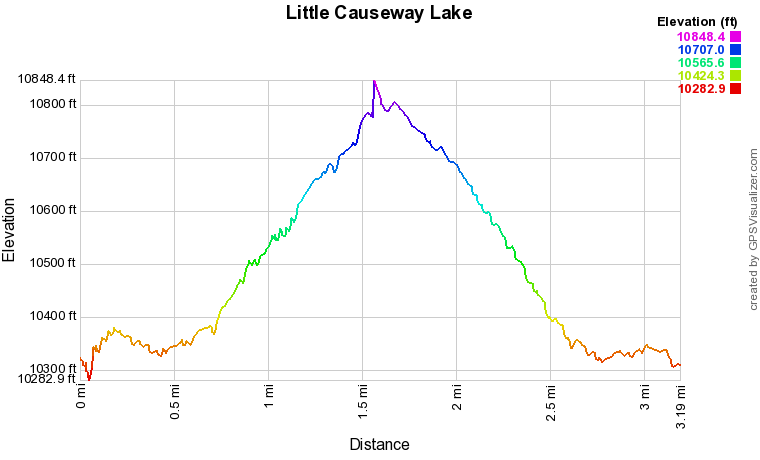
Distance: 3.2 mi (RT)
Elevation Gain: 700 ft
Elevation Min/Max: 10,282 to 10,848 ft
Trailhead Lat/Long: 40º 01' 38" N; 107º 07' 25" W
Managing Agency: U.S. Forest Service
Fee: None

