|
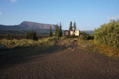
Directions from Yampa: Travel West on Routt County Rd #7 approximately 7 miles to FR 900. Travel another 10 miles on FR 900 to the end of the road. FR 900 is a good (although washboard) dirt road generally fine for passenger cars. There is a fairly large parking lot, restrooms, and an easy to find trailhead.
The Devil’s Causeway has been on my hiking to-do list for years. It is a wonderful destination and should be considered one of Colorado’s must do hikes. Before we get into the description, it helps to know a little bit about the geology of the Flat Tops to understand the Devil’s Causeway.
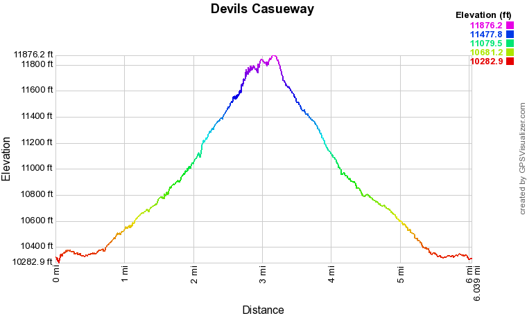
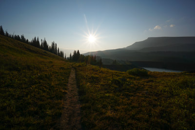
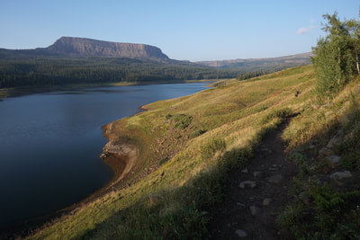
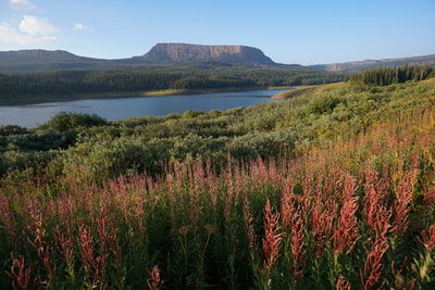
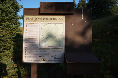
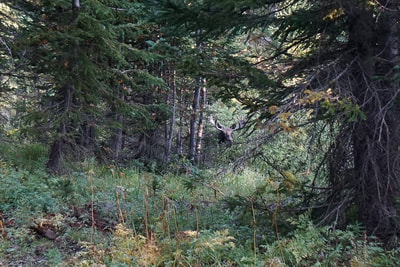
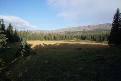
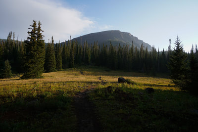
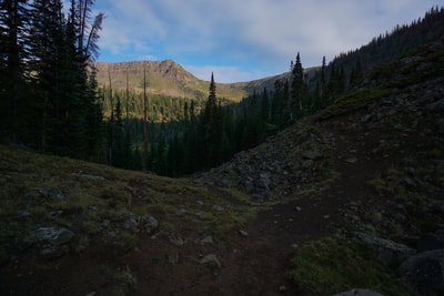
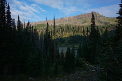
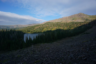
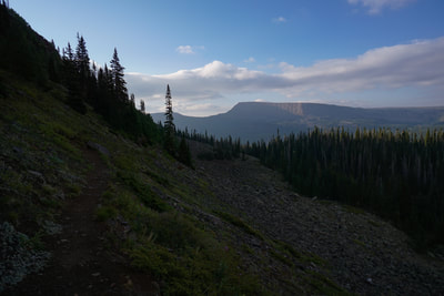
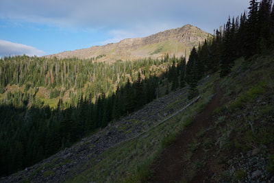
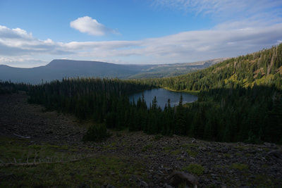
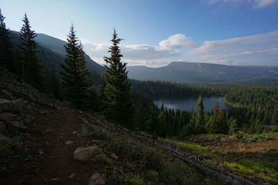
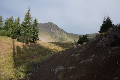
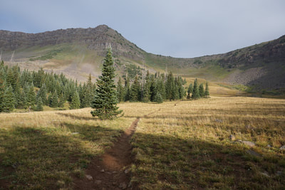
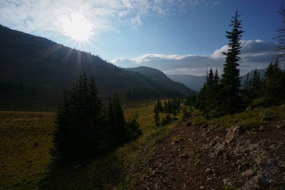
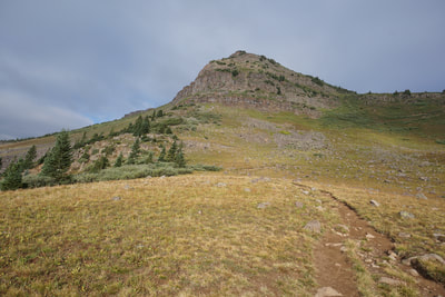
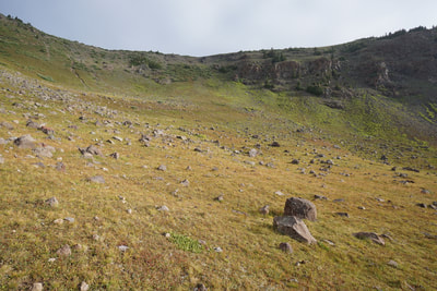
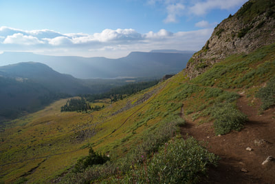
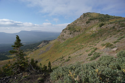
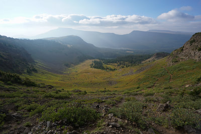
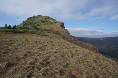
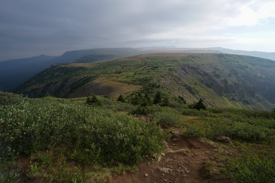
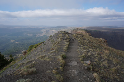
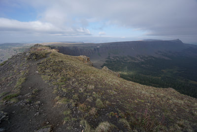
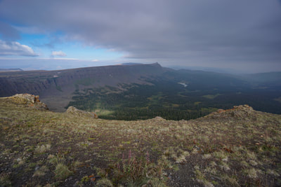
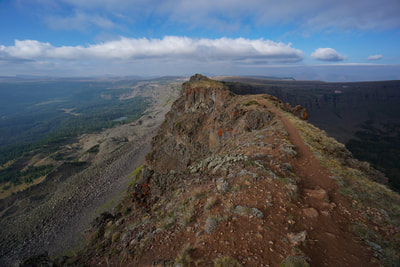
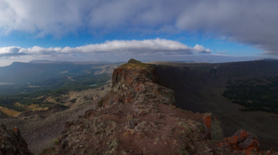
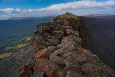
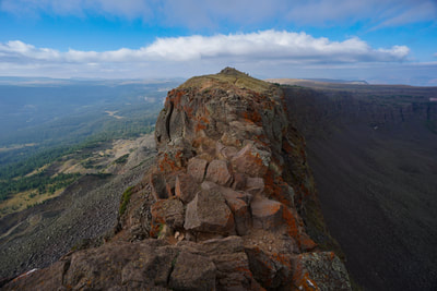
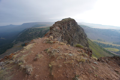
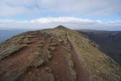
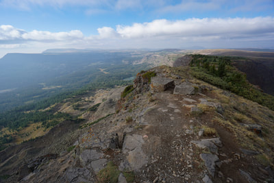
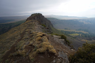
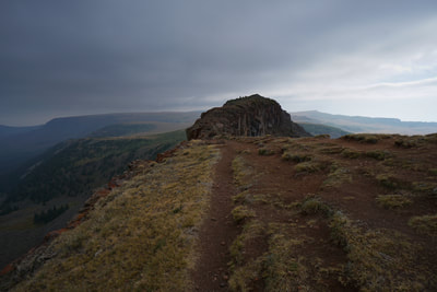
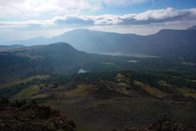
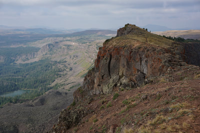
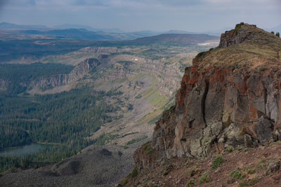
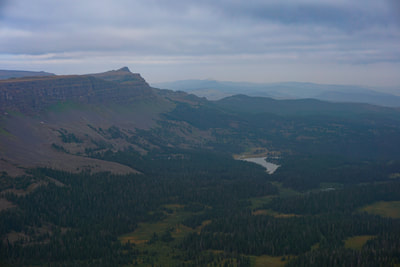
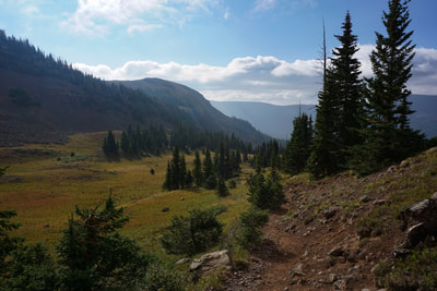
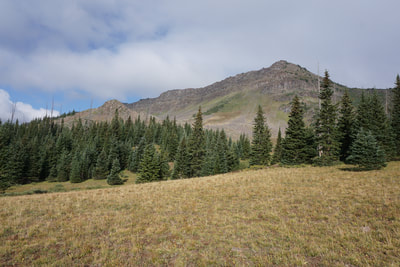
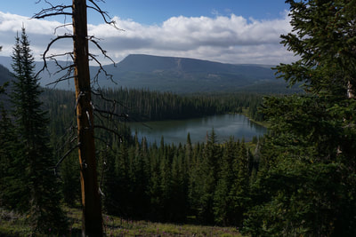
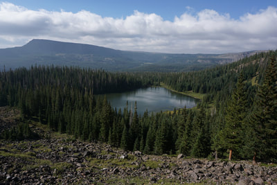
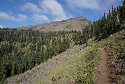
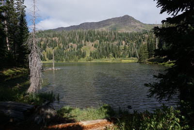
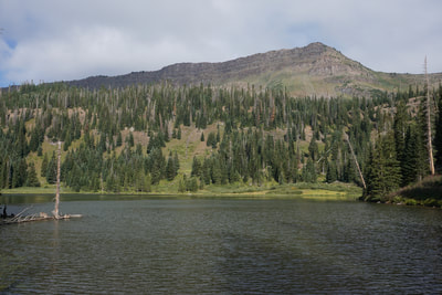
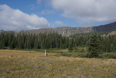
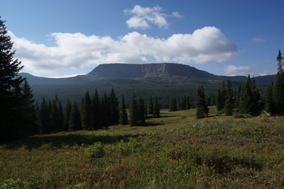
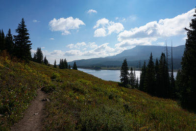
The Flat Tops are made up of a volcanic uplift forming a high altitude plateau. Basalt spewed out the top of the plateau through fissures forming an erosion resistant layer of basalt cap rock. Soon after (in geologic time) glaciers carved valleys out of the plateau leaving kettle ponds and lakes behind. The result is the Flat Tops and the “peaks” and “mountains” in the range are in actuality the remains of the basalt plateau. The Devil’s Causeway connects two main portions of the plateau, via a very narrow band of cap rock. The East Fork Trail starts from the Stillwater Reservoir, a worthy destination in its own right… The trail begins by following the western shore of the reservoir through aspen groves and wild flower covered meadows. After about .7 miles, the trail splits and heads north into the Flat Tops Wilderness. The trail traverses dense pine forest (look out for moose in the early morning) and crosses meadows with wonderful views of the cliff wall to the west. After about 1 mile of hiking you’ll reach Little Causeway Lake. Little Causeway Lake is an idyllic spot, similar to many Flat Tops lakes with a great views of the Devil’s Causeway to the North. The lake is a popular spot for fishing and a good spot to rest before making the climb to the Causeway. From Little Causeway Lake, the trail climbs up across a boulder field and rock slope, to the upper basin with its neon-green grasses, up gentle switchbacks to the saddle with tremendous views, and up the final steep push to the Devil’s Causeway summit. You’ll gain about 1,000 feet over 1.2 miles to get up to the Devil’s Causeway summit, but the hike is not difficult, the trail is easy to follow, and the views along the way are spectacular. As you start climbing above Little Causeway Lake the views open up to show the wide basin with Trappers Pass at the western far end, and Stillwater Reservoir to the east. The entire basin is contained by a wall of cliffs. The upper basin is quiet and serene with terrific views and pastoral grasses. The climb up to the saddle is gentle and easy but be sure to turn left and continue up-hill rather than following the East Fork Trail as it heads down the other side of the saddle. The views from the saddle are phenomenal. The final push is a bit steep but it doesn’t take long to reach the summit. At the summit, you’ll finally be standing on the Devil’s Causeway. Don’t stop here however, follow the ridge for just a few minutes and you’ll see the crux of the Devil’s Causeway and understand why it got its name. The crux is not long, maybe 20 feet across, but it is only about 3 feet wide and the drop off on either side is about 100 feet straight down. My suggestion is to go as far as you feel comfortable. Crossing it (and crossing it back) is a thrilling experience but not crossing it and just admiring the view is also a thrilling experience. Take your time, be careful about your footing, and respect the weather and you’ll be fine crossing over the Devil’s Causeway. If you do cross over, be sure to continue hiking for a few minutes to the second summit for wonderful views back over the Causeway crux. You now have two options. You can retrace your steps back to the trailhead, as described here, for a 6 mile (RT) hike, or you can continue past the Devil’s Causeway following the ridge of the wall to Trappers Pass, down to Mosquito Lake, and back to Stillwater Reservoir for a 10+ mile loop. Either way makes for a fantastic hike and an experience you won’t forget. |
- HOME
- ABOUT
-
HIKES BY REGION
-
NATIONAL PARK HIKES
- BENT'S OLD FORT NATIONAL HISTORIC SITE
- BLACK CANYON OF THE GUNNISON NATIONAL PARK
- COLORADO NATIONAL MONUMENT
- CURECANTI NATIONAL RECREATION AREA
- DINOSAUR NATIONAL MONUMENT
- FLORISSANT FOSSIL BEDS NATIONAL MONUMENT
- MESA VERDE NATIONAL PARK
- ROCKY MOUNTAIN NATIONAL PARK
- GREAT SAND DUNES NATIONAL PARK
- HOVENWEEP NATIONAL MONUMENT
- SAND CREEK MASSACRE NATIONAL HISTORIC SITE
- YUCCA HOUSE NATIONAL MONUMENT
- HIKES BY CATEGORY
- NEWS
- WEBCAMS
- $UPPORT GHC
- INTERACTIVE MAP
Devil's Causeway
Flat Tops Wilderness, Routt National Forest
Date Hiked: August 19, 2018
Distance: 6 mi (RT)
Elevation Gain: 1,770 ft
Elevation Min/Max: 10,283 to 11,876 ft
Trailhead Lat/Long:40º 01' 38" N; 107º 07' 25" W
Managing Agency: U.S. Forest Service
Fee: None

