GO HIKE COLORADO
Get in Touch:
  • HOME
  • ABOUT
  • HIKES BY REGION
    • DENVER AREA >
      • Denver Mountain Parks
      • Jefferson County Open Space
      • Lakewood Parks
      • Denver Area Greenways
    • BOULDER AREA
    • DOUGLAS COUNTY
    • FORT COLLINS AREA
    • COLORADO SPRINGS AREA
    • FRONT RANGE
    • TENMILE & MOSQUITO RANGES
    • GORE RANGE
    • SANGRE DE CRISTO MOUNTAINS
    • PARK RANGE
    • SAWATCH RANGE
    • ELK MOUNTAINS
    • SAN JUAN MOUNTAINS
    • THE FLAT TOPS
    • GRAND MESA
    • COLORADO PLATEAU
    • EASTERN PLAINS
  • NATIONAL PARK HIKES
    • BENT'S OLD FORT NATIONAL HISTORIC SITE
    • BLACK CANYON OF THE GUNNISON NATIONAL PARK
    • COLORADO NATIONAL MONUMENT
    • CURECANTI NATIONAL RECREATION AREA
    • DINOSAUR NATIONAL MONUMENT
    • FLORISSANT FOSSIL BEDS NATIONAL MONUMENT
    • MESA VERDE NATIONAL PARK
    • ROCKY MOUNTAIN NATIONAL PARK
    • GREAT SAND DUNES NATIONAL PARK
    • HOVENWEEP NATIONAL MONUMENT
    • SAND CREEK MASSACRE NATIONAL HISTORIC SITE
    • YUCCA HOUSE NATIONAL MONUMENT
  • HIKES BY CATEGORY
    • HIKES TO ALPINE LAKES
    • HIKES TO PEAKS & PASSES
    • HIKES THROUGH CANYONS
    • HIKES WITH FALL COLORS
    • HIKES ALONG THE I-70 CORRIDOR
    • HIKES ON PAVED TRAILS
    • HIKES FOR KIDS
    • HIKES TO WATERFALLS
    • HIKES ALONG RIVERS
    • HIKES WITH ROCK FORMATIONS
    • HIKES WITH WILDFLOWERS
    • WINTER HIKES
  • NEWS
  • WEBCAMS
  • $UPPORT GHC
  • INTERACTIVE MAP

Smith Lake
Flat Tops Wilderness, Routt National Forest

Date Hiked: August 18, 2018

Distance: 1.6 mi (RT)
Elevation Gain: 300 ft
Elevation Min/Max:10,216 to 10,502 ft
Trailhead Lat/Long: 40º 01' 56" N; 107º 06' 55" W
Managing Agency: U.S. Forest Service
​Fee: Non

Smith Lake Website (USFS)

Picture

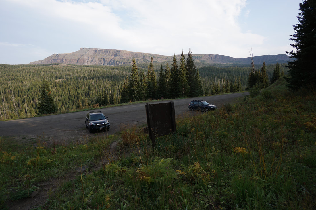
DIRECTIONS:  Directions from Yampa: Travel West on Routt County Rd #7 approximately 7 miles to FR 900. Travel another 9.5 miles on FR 900 to the trailhead just before the Cold Springs Campground and about 1/2 mile from the Stillwater Reservoir.   

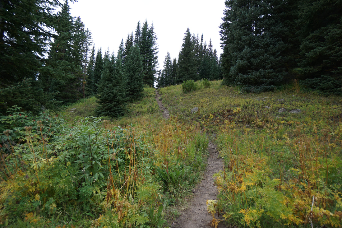
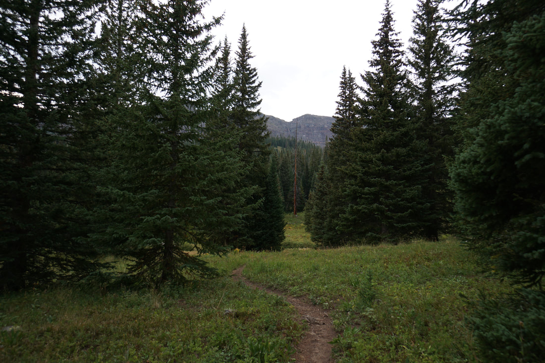
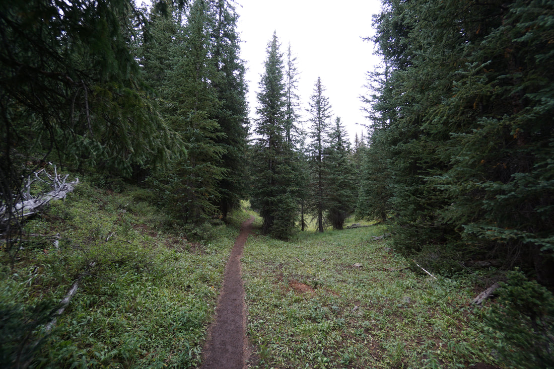
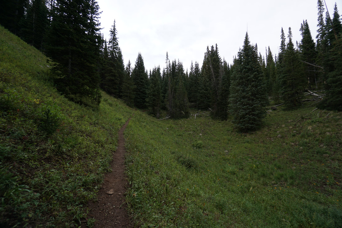
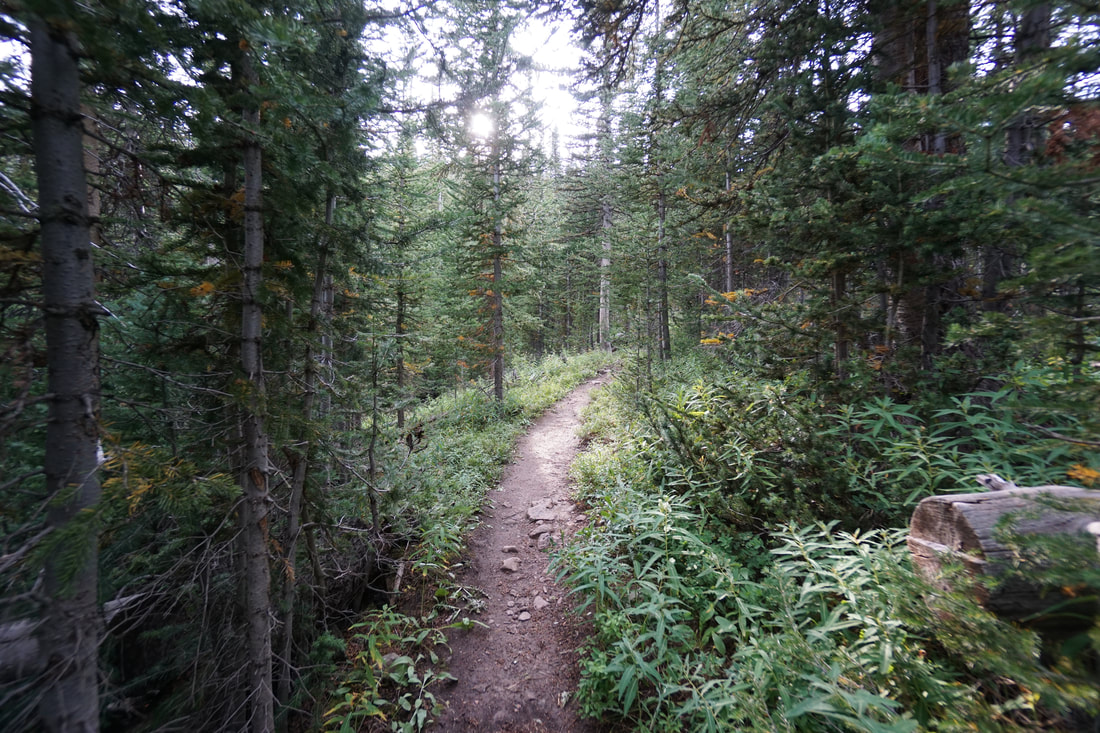
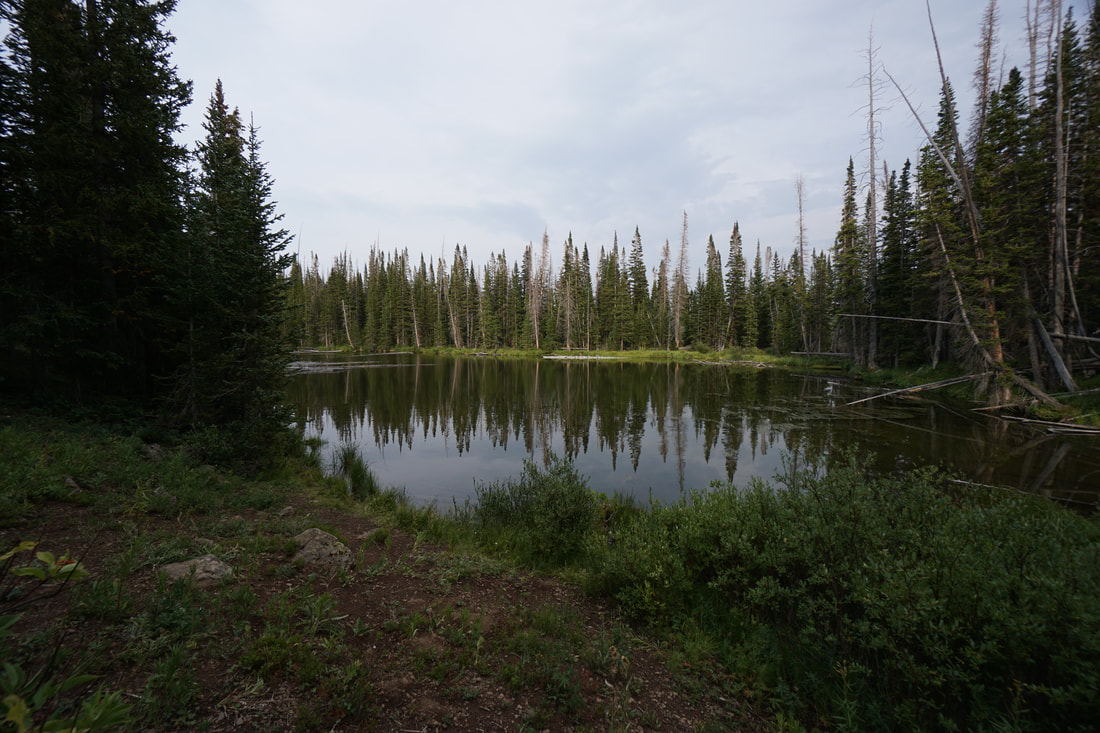
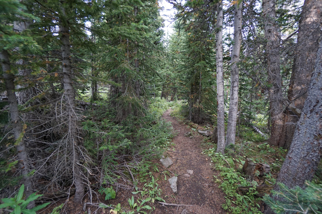
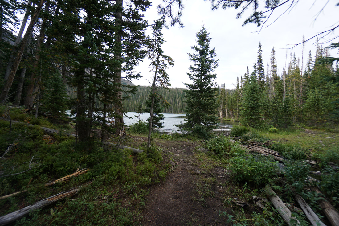
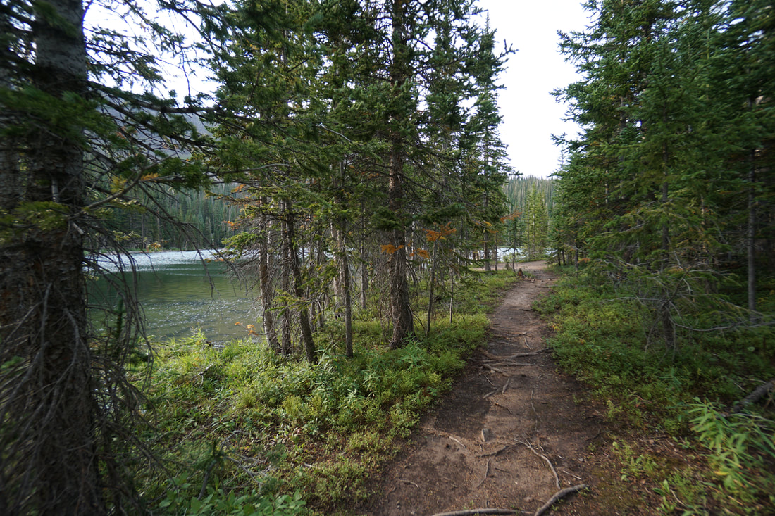
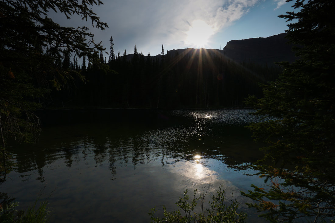
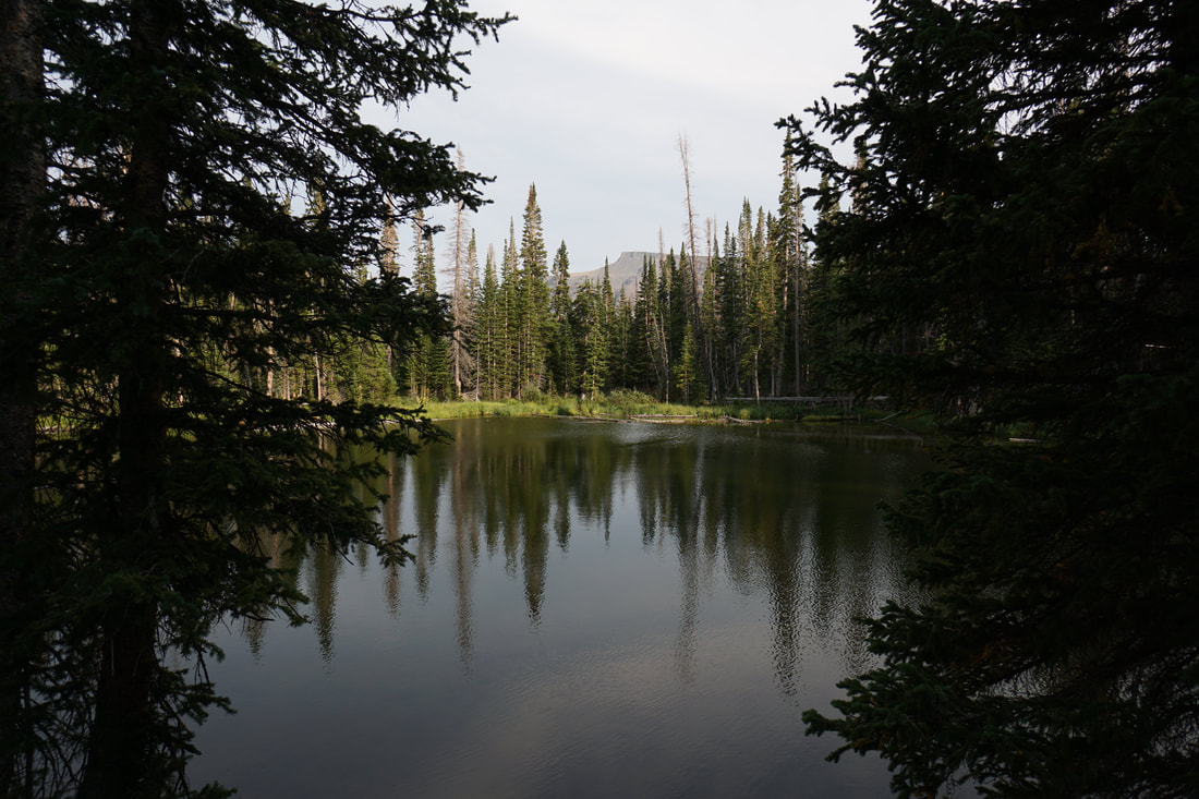
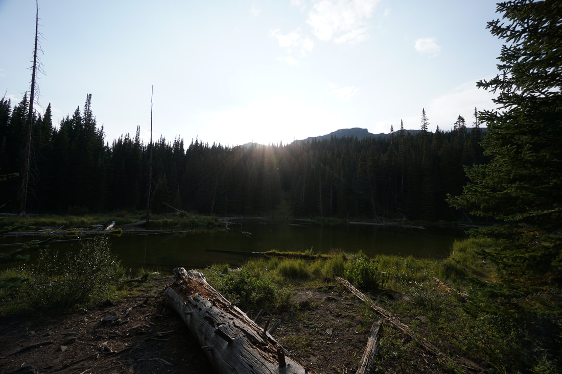
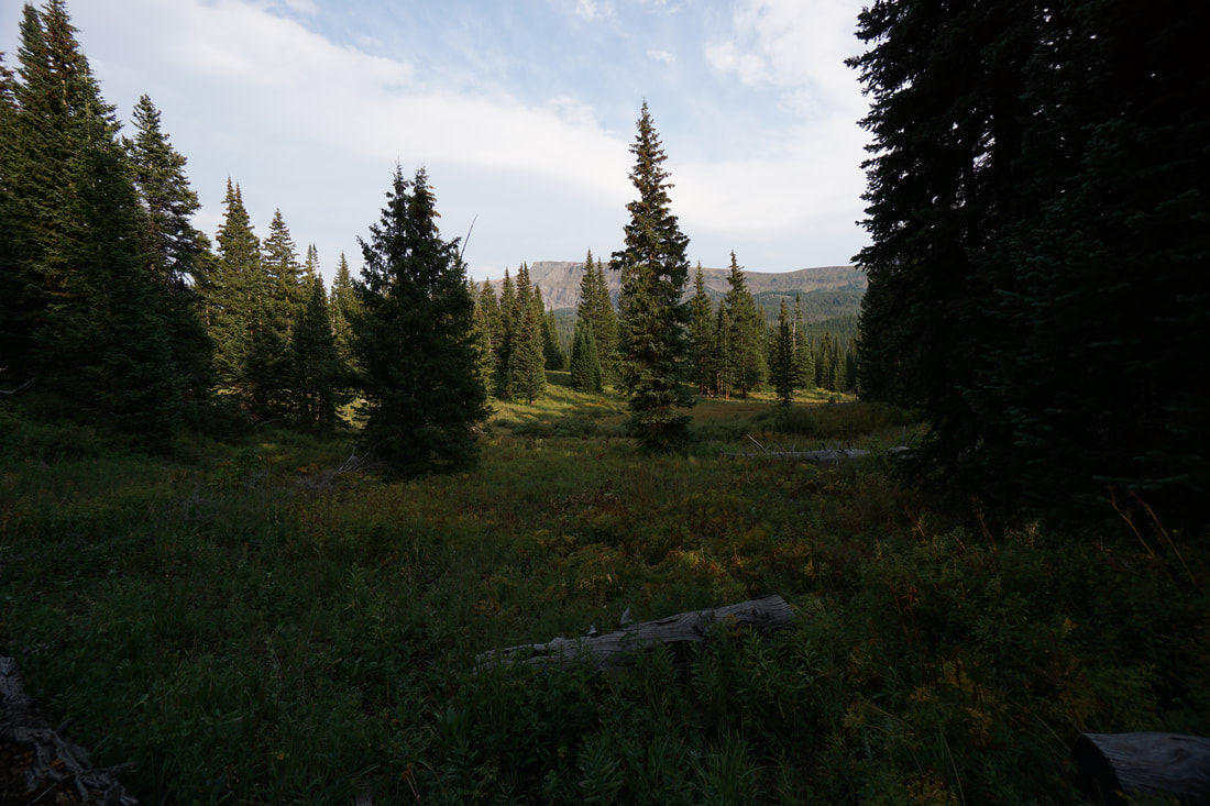
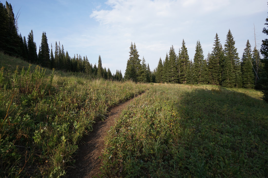
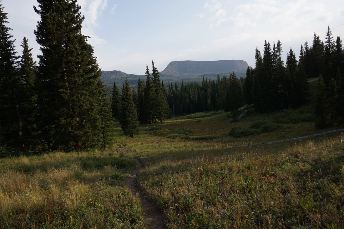
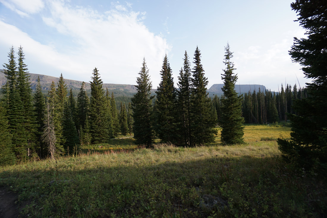
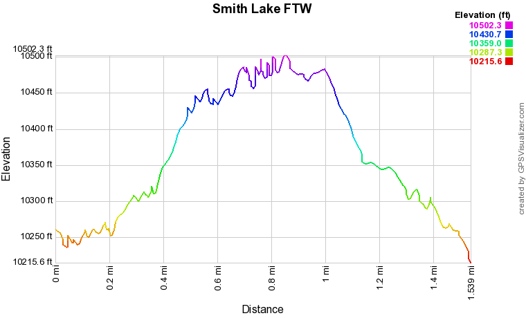
The short but sweet hike to Smith Lake is the perfect introduction to the Flat Tops Wilderness Area.  The hike is great for kids, only .8 miles to the lake, takes you through dense evergreen forest with views of Flat Top Mountain in the distance.  The hike crosses meadows and visits two scenic ponds before arriving at Smith Lake.

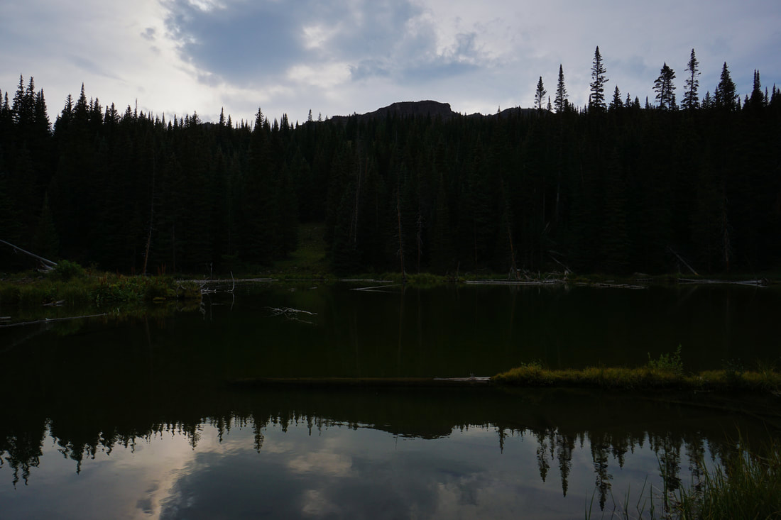
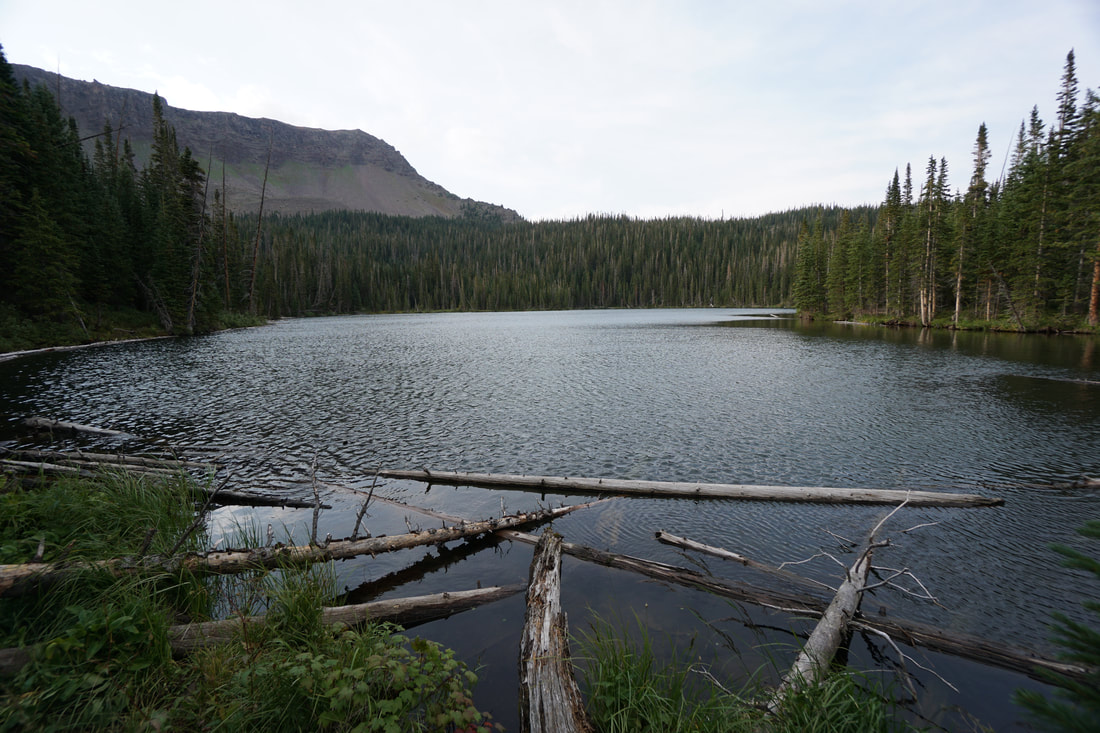
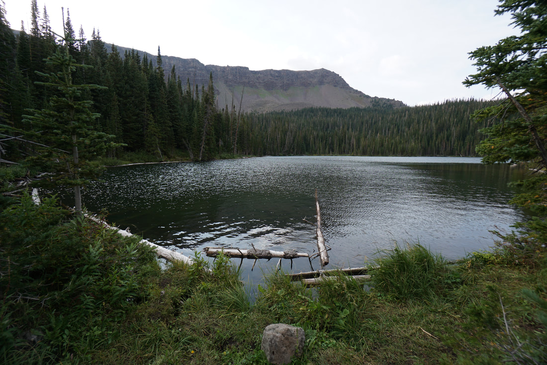
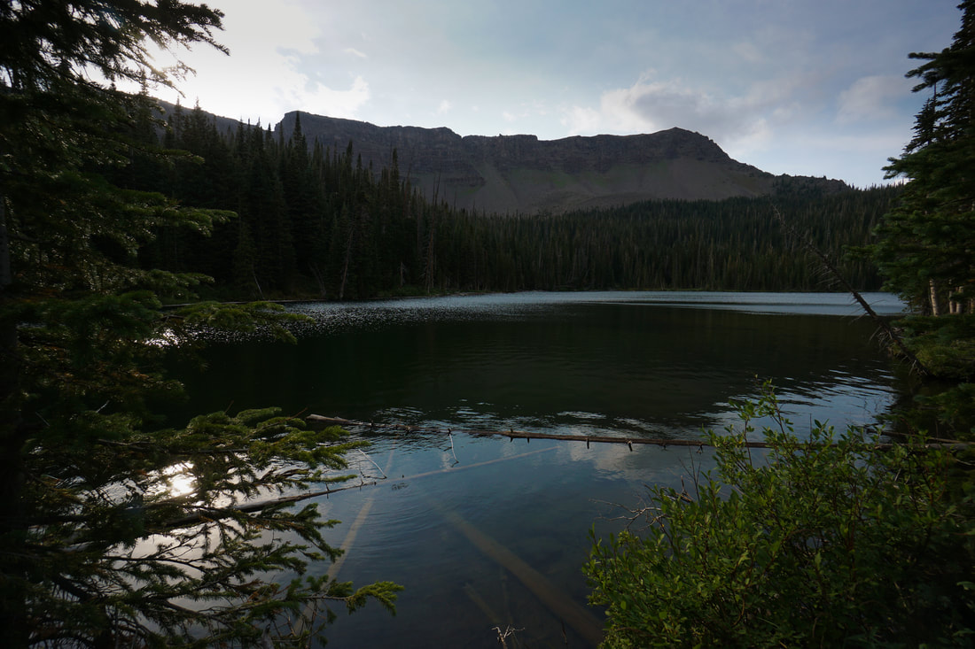
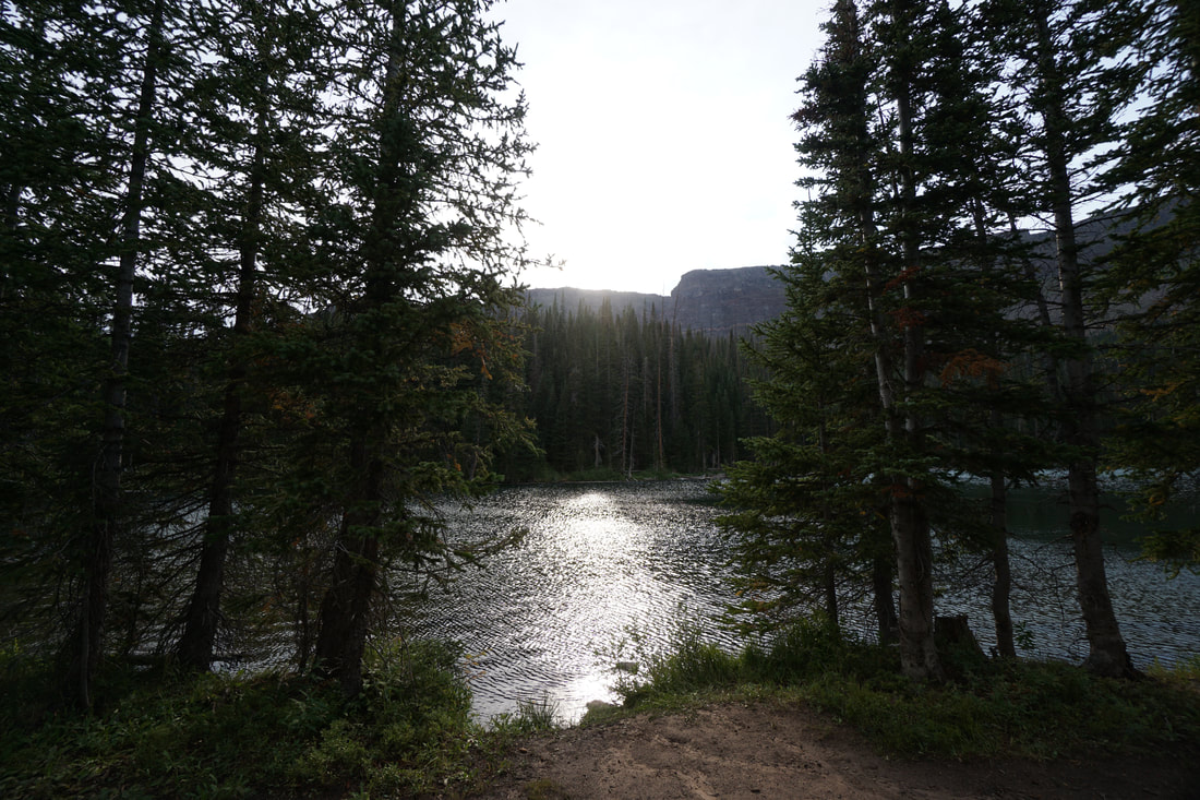
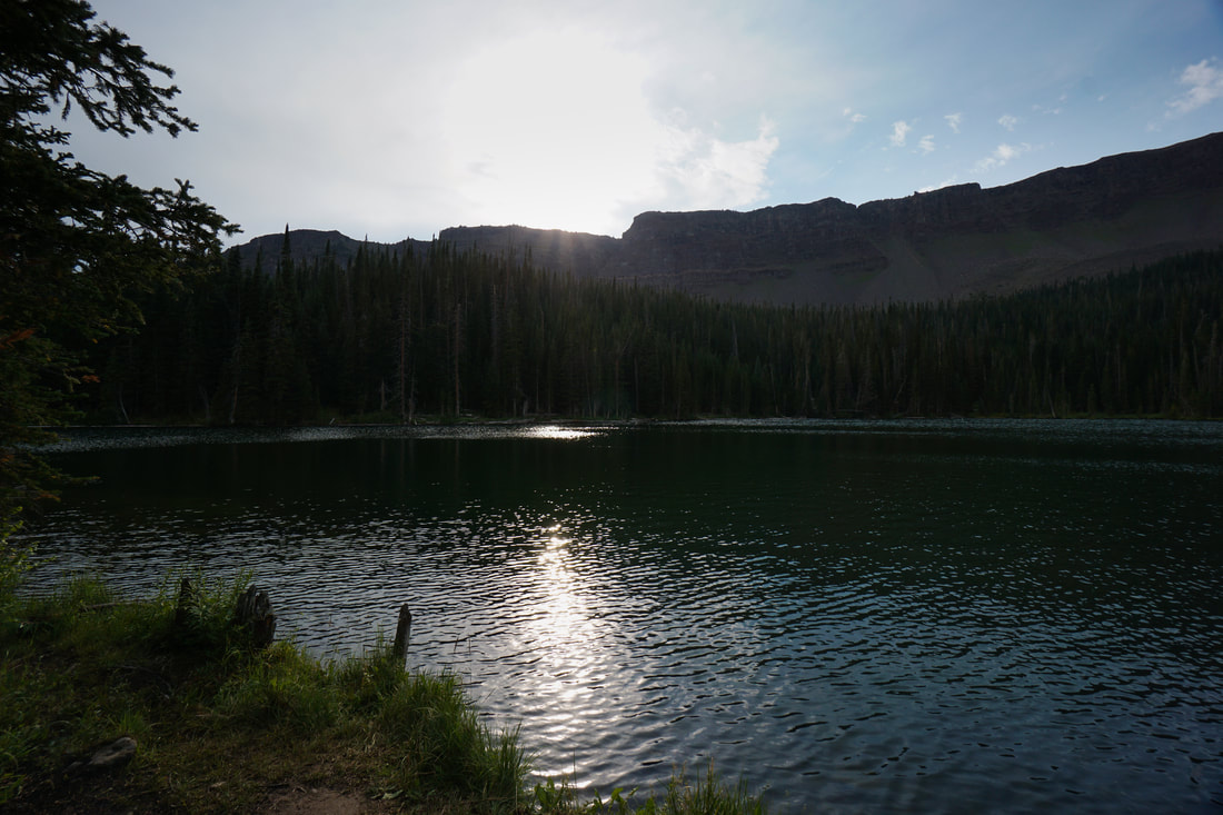
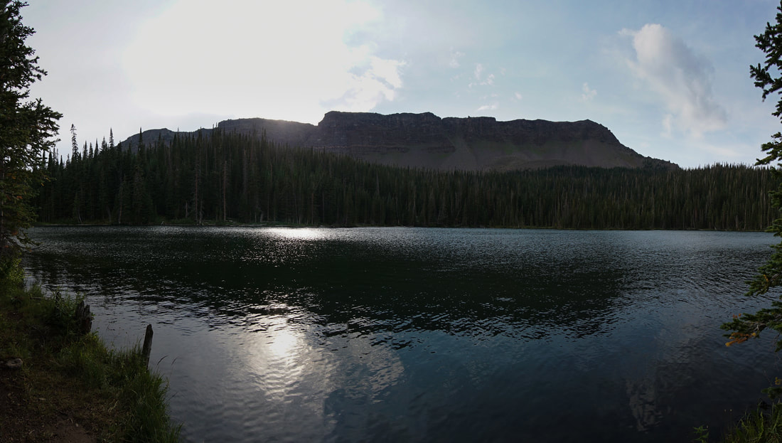
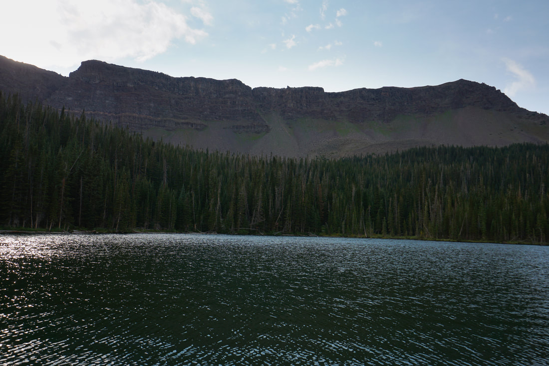
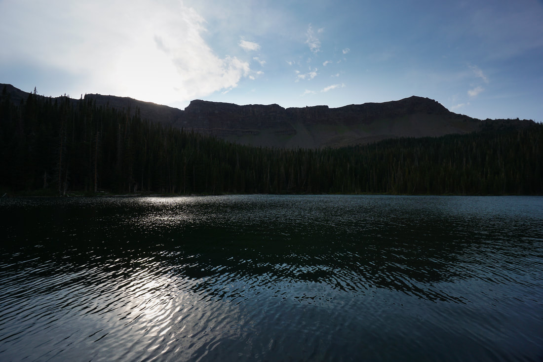
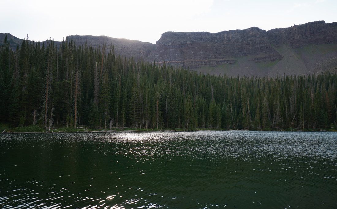
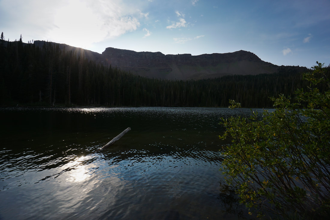
At the lake, the trail turns to the right and crosses a small creek at the lake's outlet.  Continuing on this trail takes you to wonderful viewpoints along the shoreline.  The stark, rising cliffs at the lake's western shore are typical for the Flat Tops area and provide a taste of the unique topography that makes the Flat Tops so special.  The cliffs rise to nearly 12,000 ft in elevation which gives you a good idea of the massive size of the plateau. 

Continue following the lake shore as far as you can and return on the same route.  All in all this hike is only about 1.6 miles in length, with just a little elevation gain.  A perfect start and good preview of further adventures in the Flat Tops.
© Go Hike Colorado, 2020.  All Rights Reserved. 
Use of photographs without prior authorization is
​strictly prohibited.


Contact us at:
[email protected]
Legal Disclaimer - Information provided on this site is based upon our own observations, always double check information with the appropriate land management agency before heading into the backcountry.  Backcountry travel is inherently dangerous, please take all proper precautions.  Go Hike Colorado is not responsible for injury or incident.