|
|
|
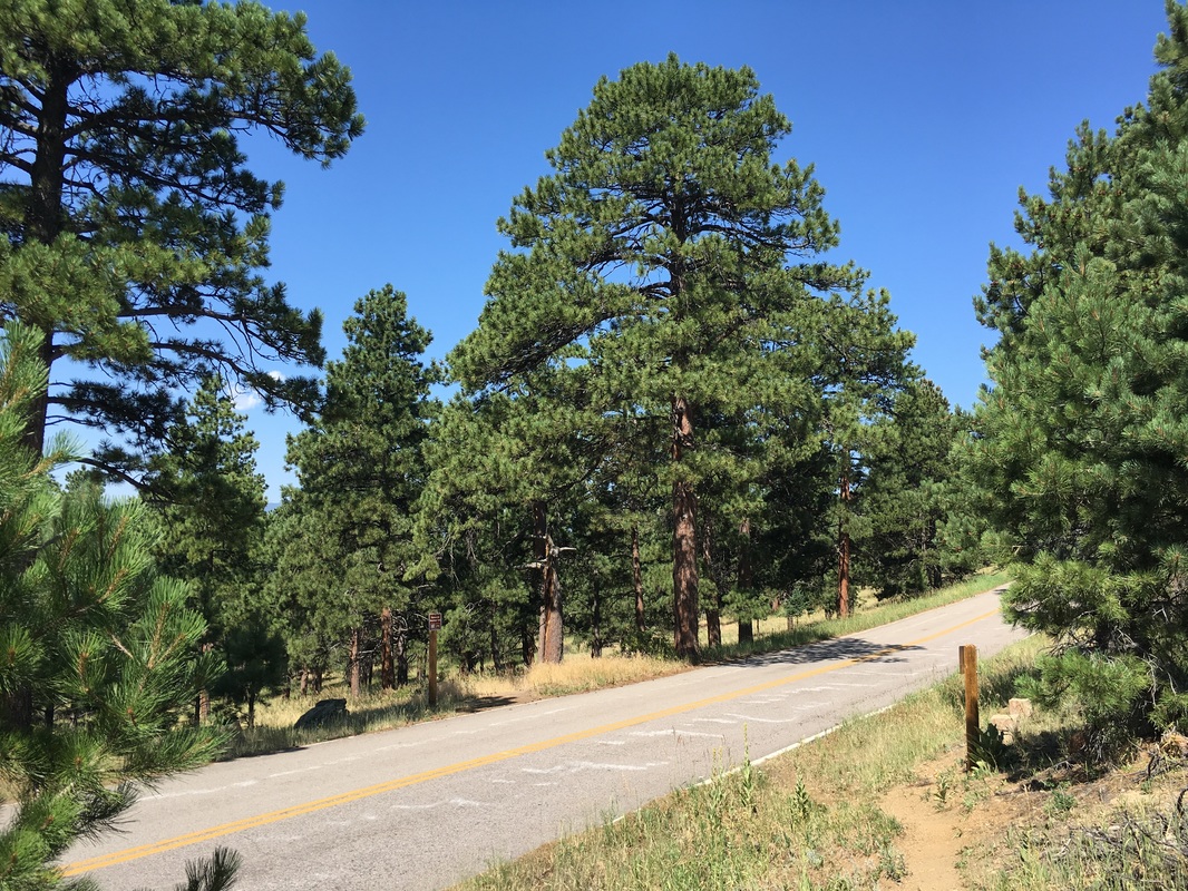
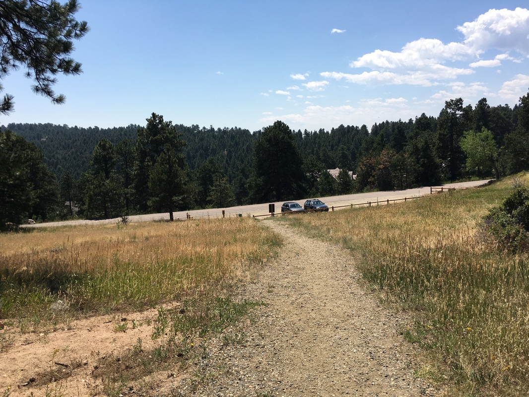
Directions: From Denver head west on I-70 and exit at the Genesee Park exit. Turn left over I-70 and at the fork in the road turn right onto Genesee Mountain Road. As you make your way up the mountain, you’ll pass a picnic area with a large parking turnoff on your right. Park here
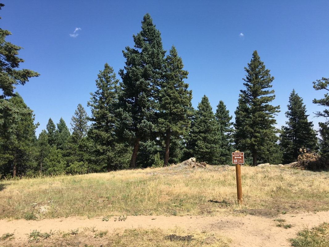
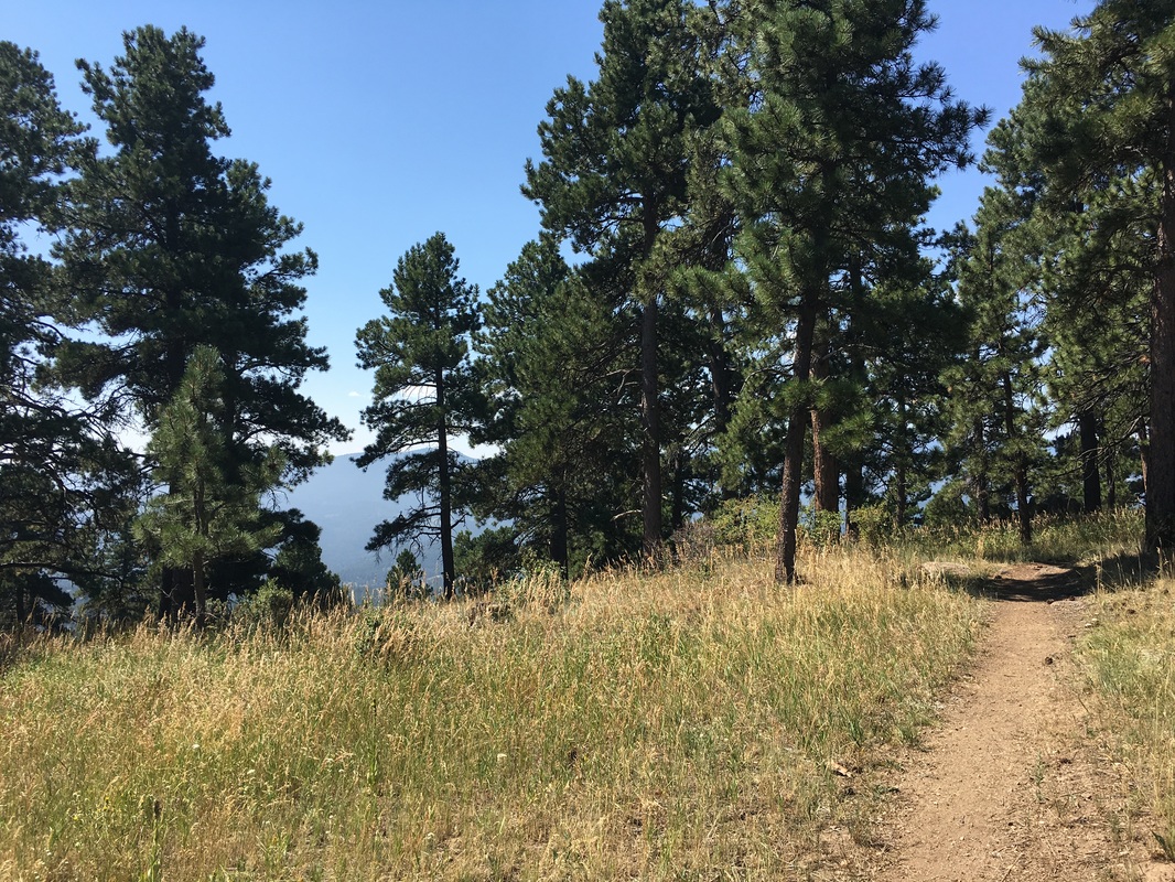
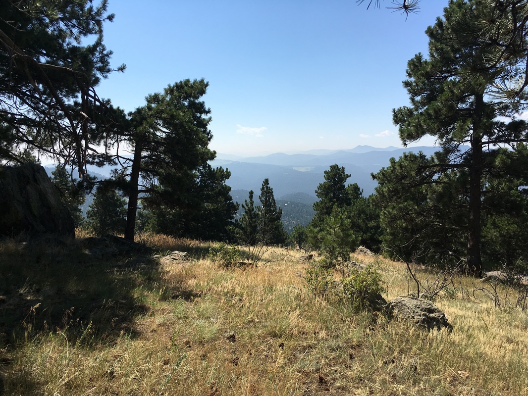
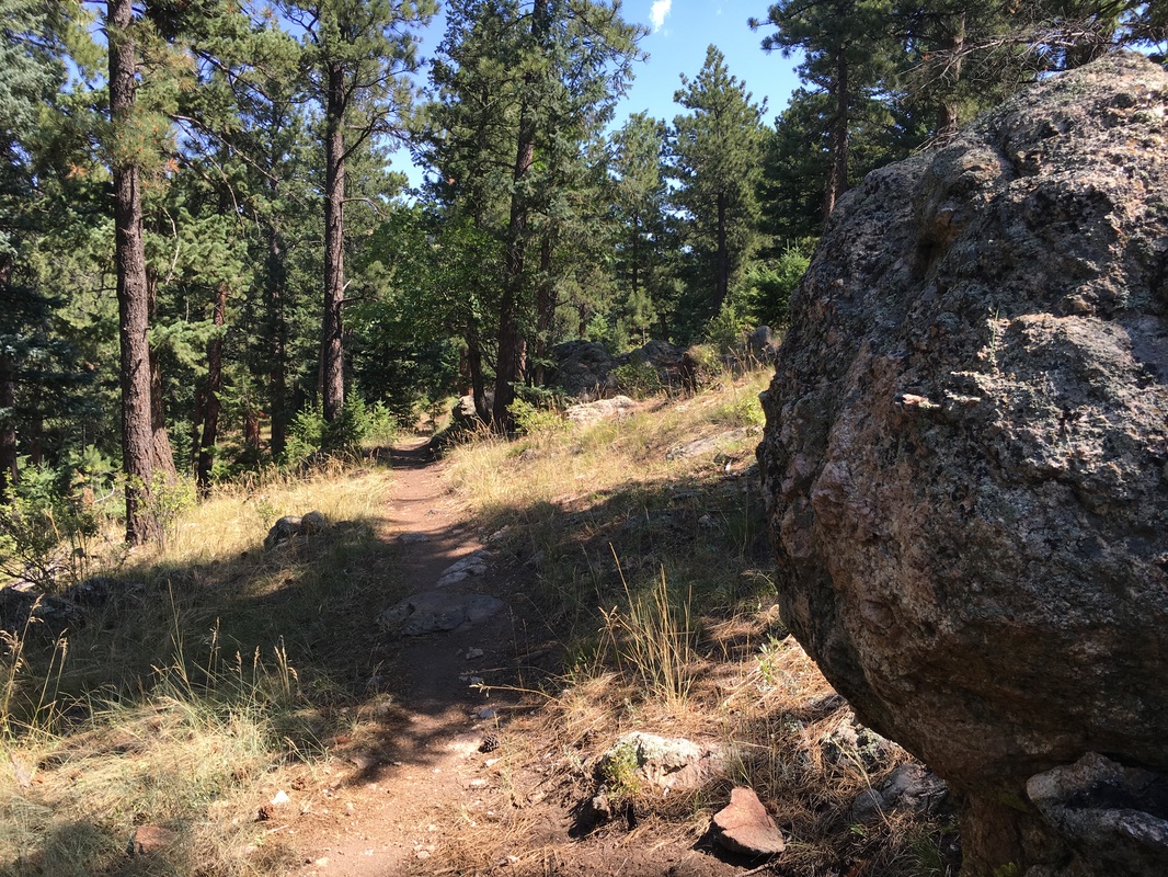
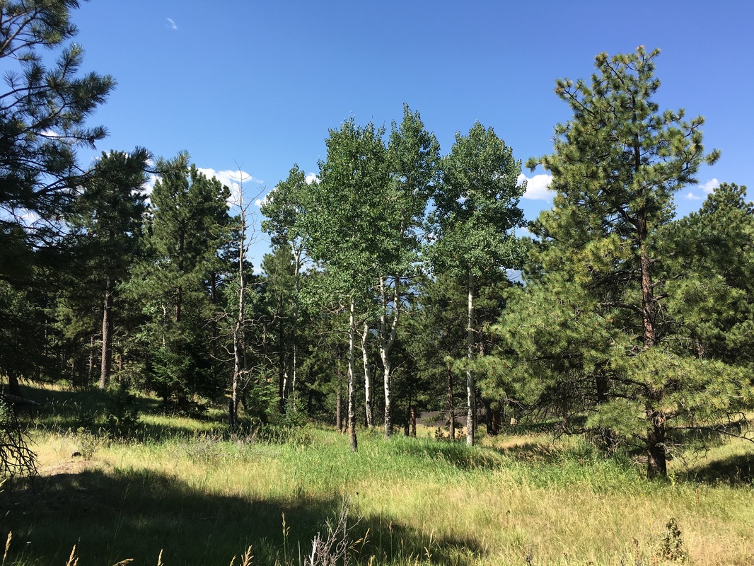
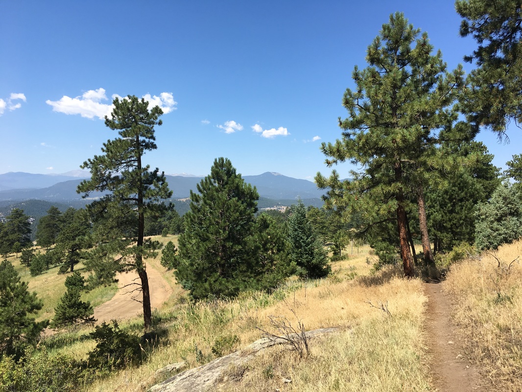
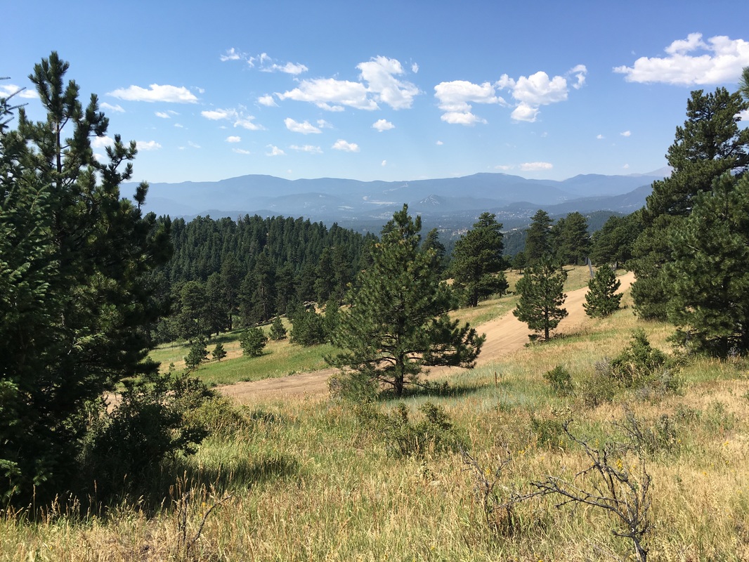
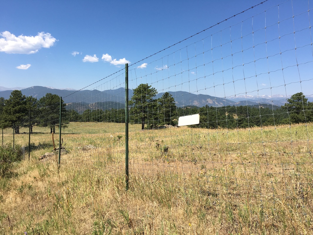
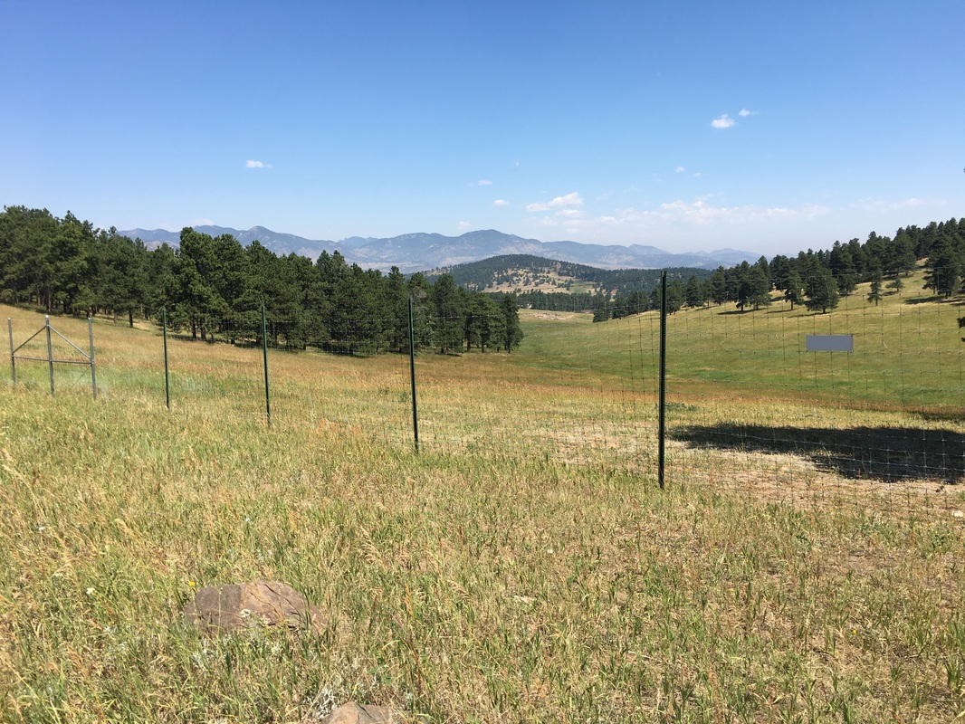
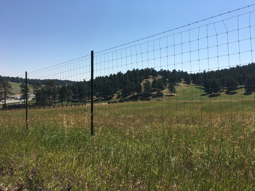
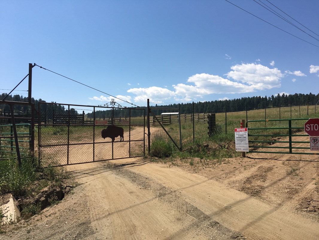
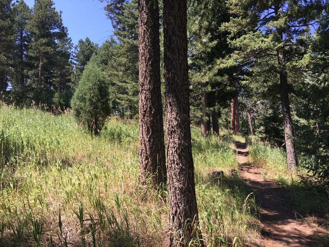
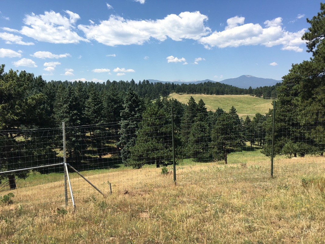
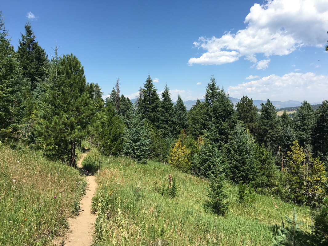
The Genesee Mountain Trail is a new addition to the park and is meant to be the main hiking thoroughfare. From the Genesee Mountain Trail you can split off to the Genesee Summit Trail or the American Bison Trail, and you can connect to the Chief Hosa Trail as well. The hike traces a route around the Middle Bison Pasture providing views of both mountains and, possibly, the bison herd.
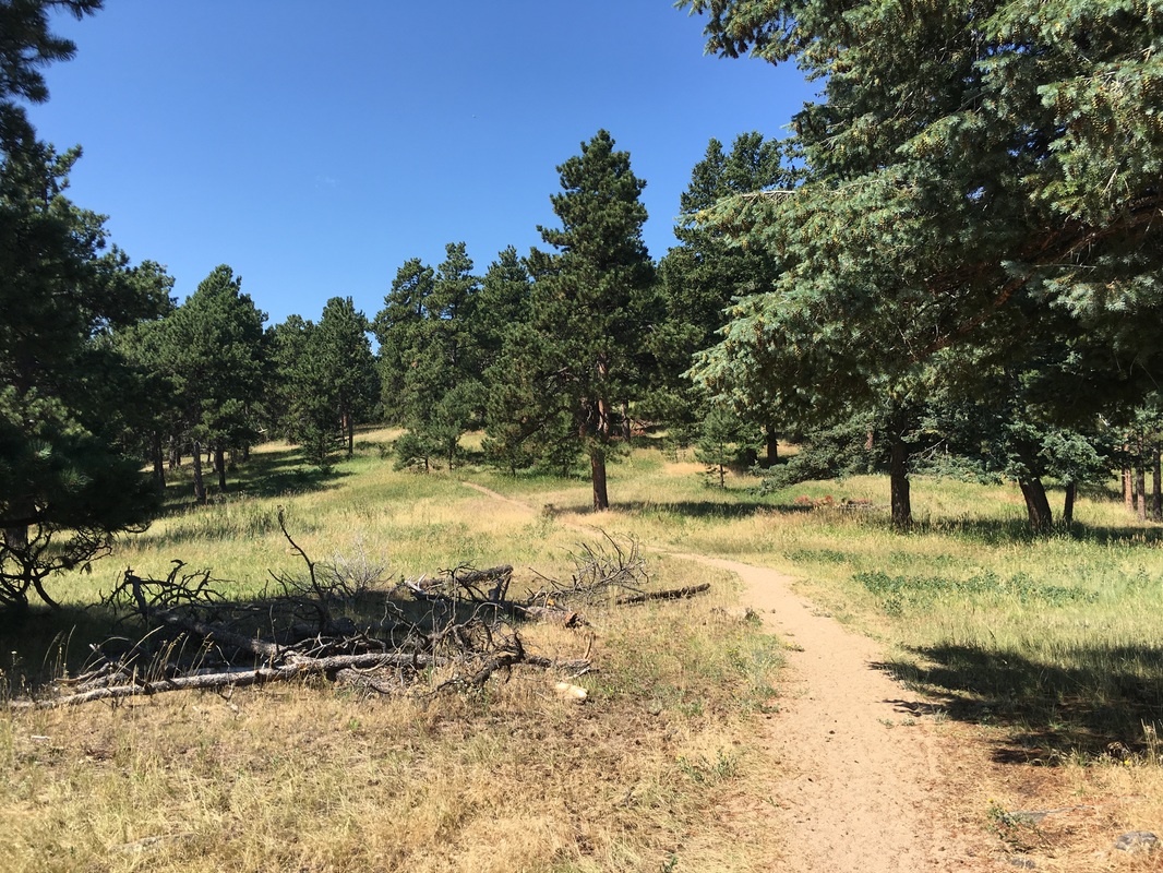
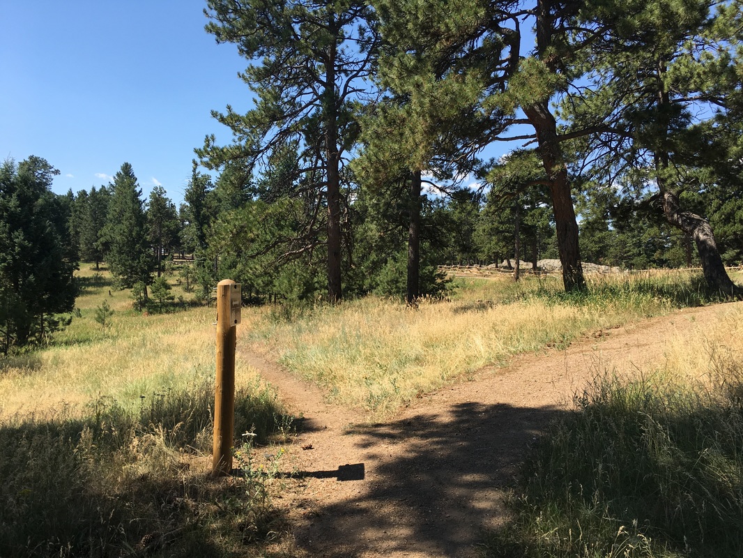
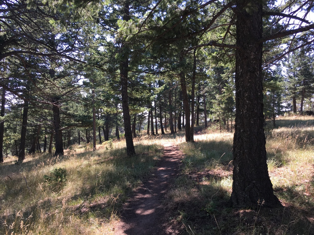
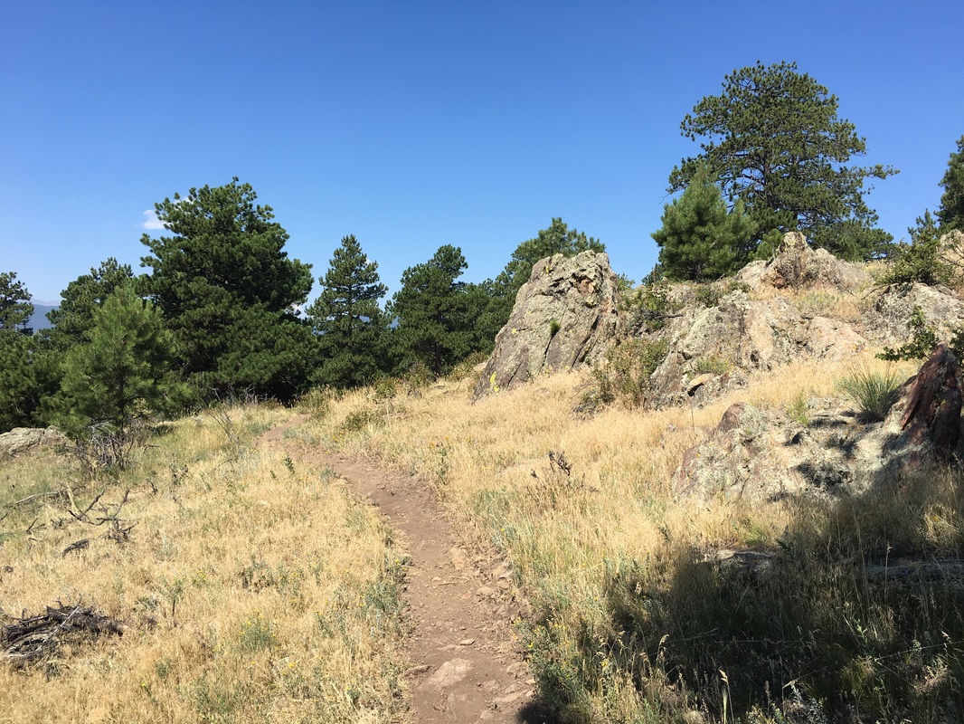
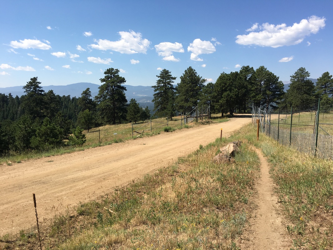
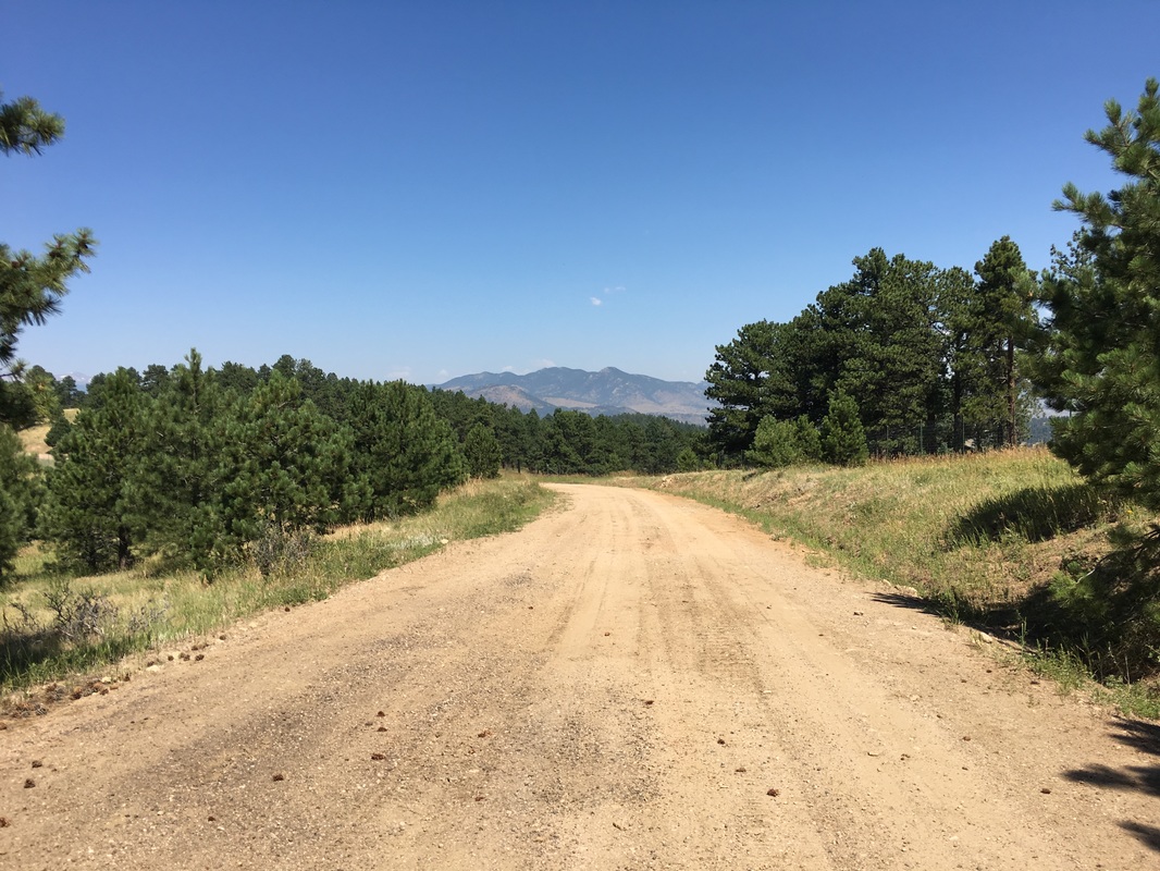
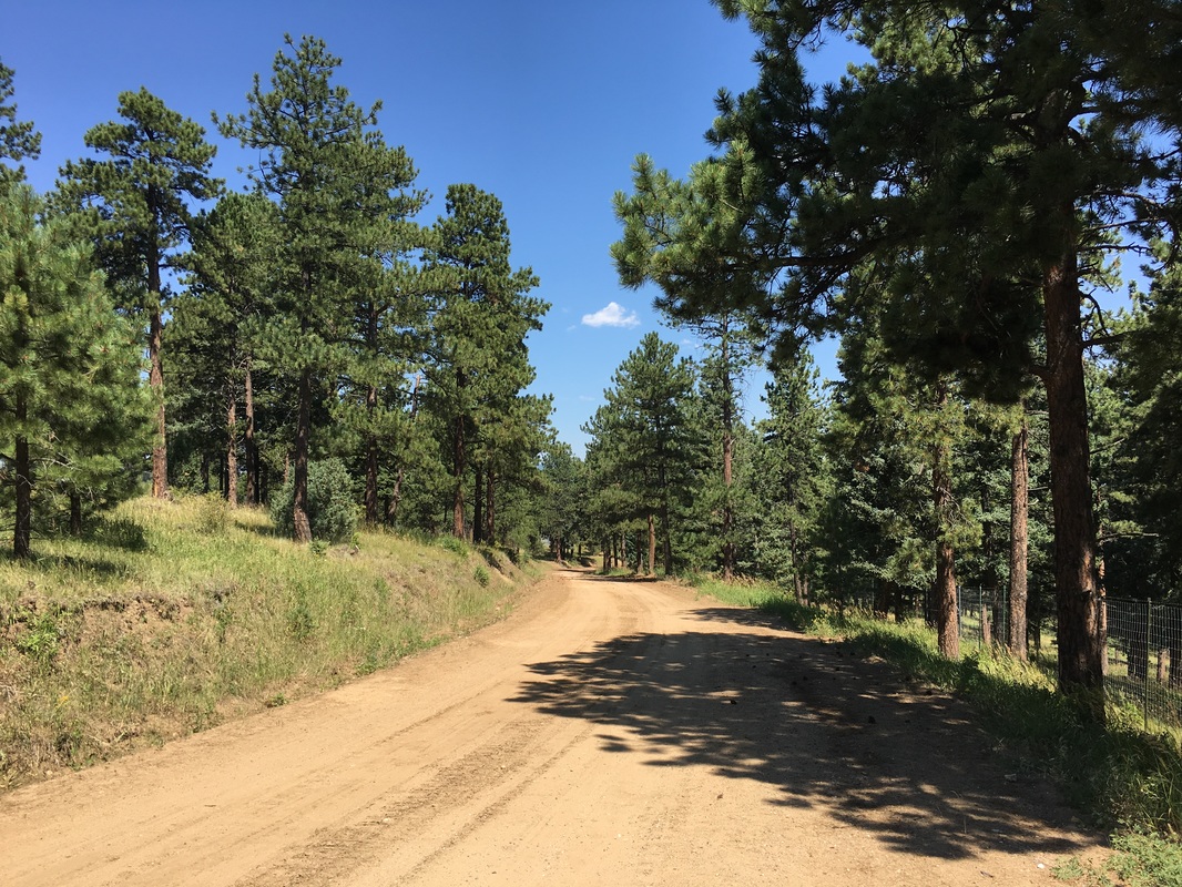
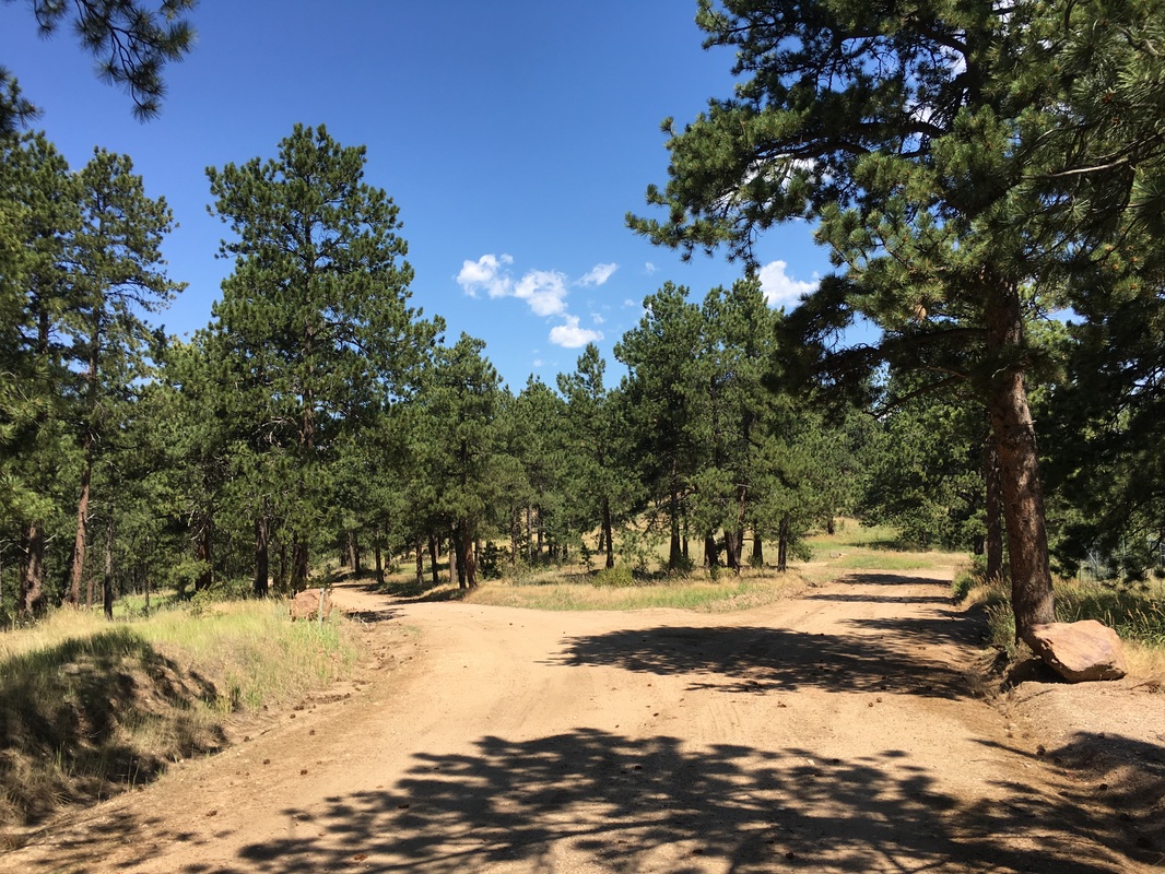
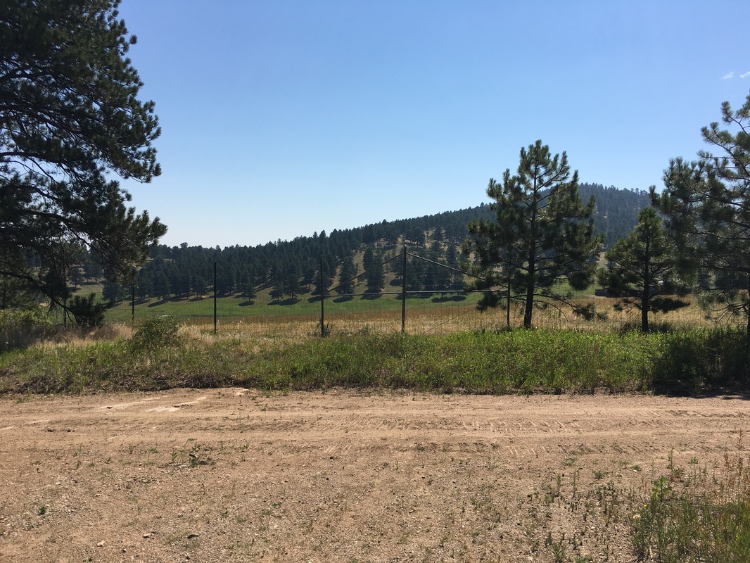
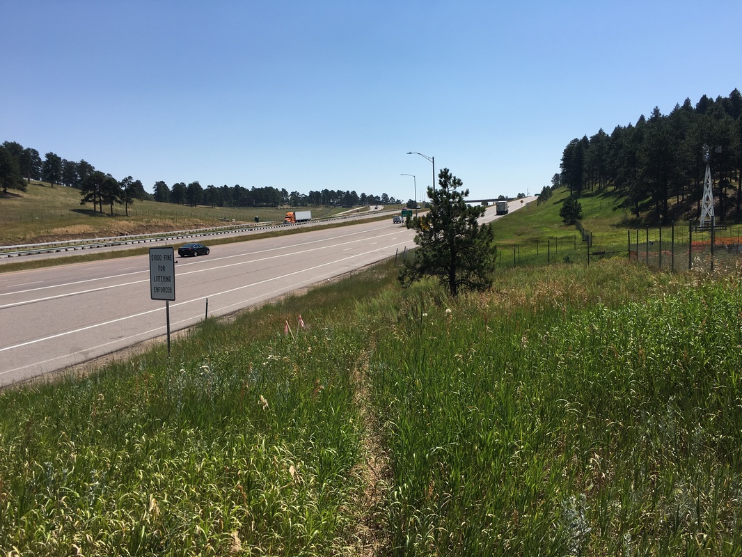
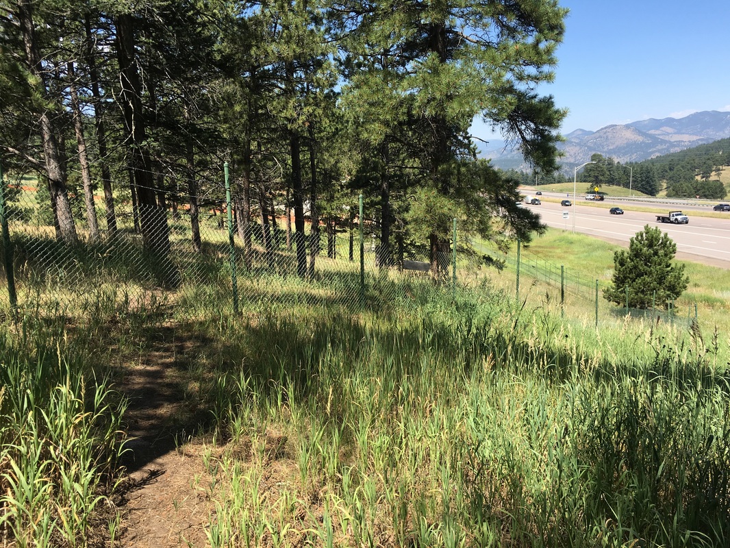
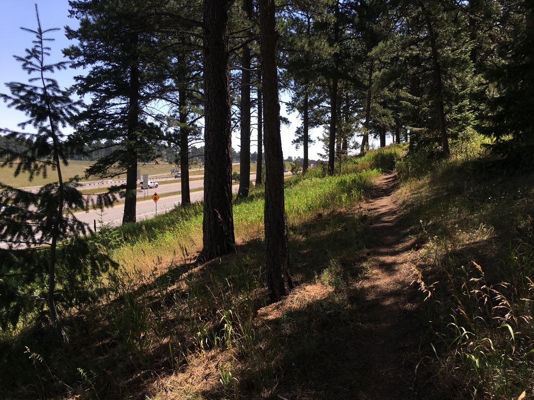
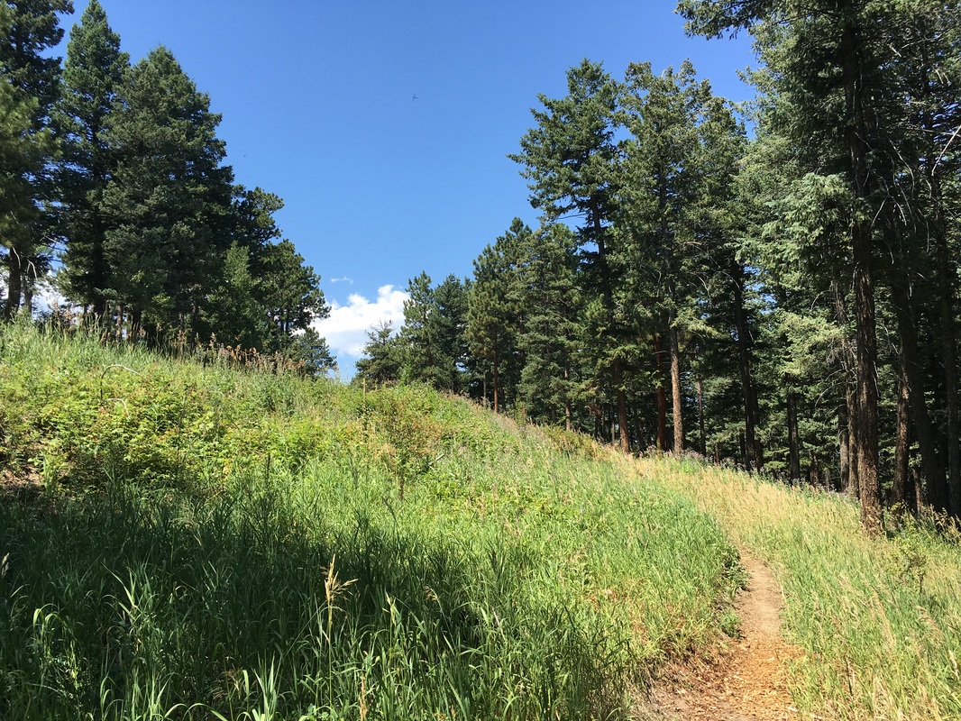
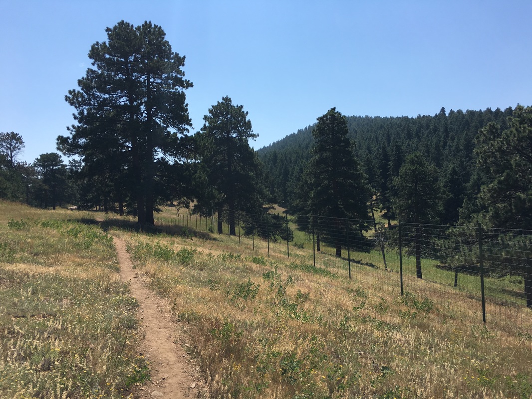
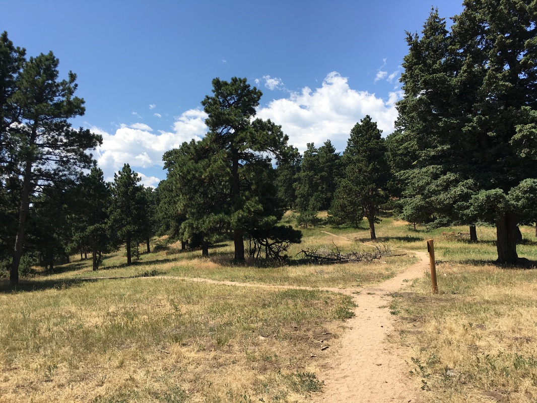
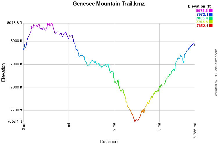
If you start from the pullout parking area discussed above then you can either start by heading uphill or heading downhill. We recommend you start uphill. The trail climbs gradually until a trail junction, stay straight here and do not cross the road towards the summit trail. The trail then winds around the southern slopes and crosses the road further along. When you reach the next trail junction stay straight again and proceed down to the dirt road. The road is now closed to motor vehicles and the next segment of the hike follows the road. The road bisects the middle and southern bison pastures and takes you downhill to a fork in the road, bear right. Continue to follow the road as it parallels the enclosure fence. This is where the hike gets a little sketchy. This area is still under construction but follow the road down as far as you can until you are looking down on I-70. Proceed past the guard rail on a faint trail down to the highway shoulder. Stay close to the fence here and bushwhack for just a few minutes. If you hug the fence as you bushwhack you will rejoin the established trail. The trail then climbs back uphill towards the park entrance and rejoins the enclosure fence. Follow the trail up as it meets up with the American Bison trail and then the trailhead. This is the main hike in the Genesee Mountain section of the park, but the dirt road and the highway section make it less ideal then the other, shorter hikes. I'm sure the situation will improve vastly once the construction is done, so you might want to keep checking in on the park's webpage to see the city's progress. |
|