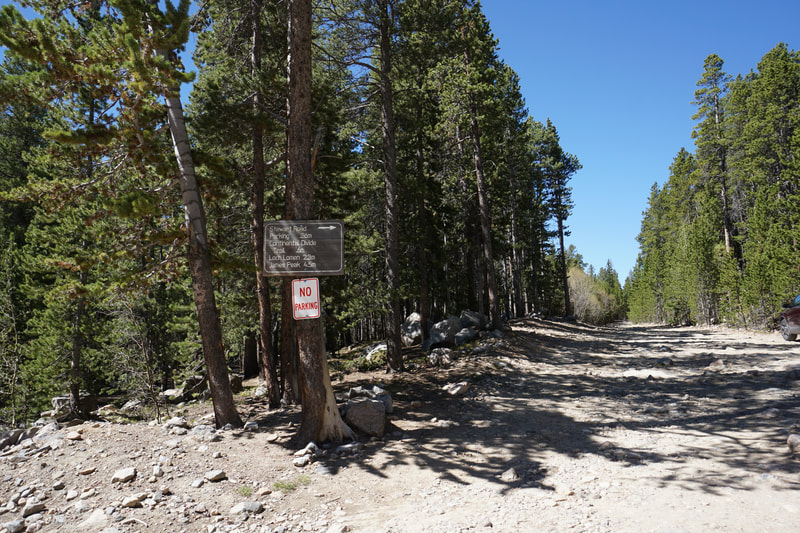
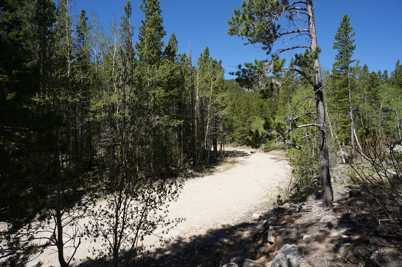
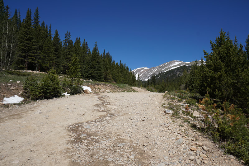
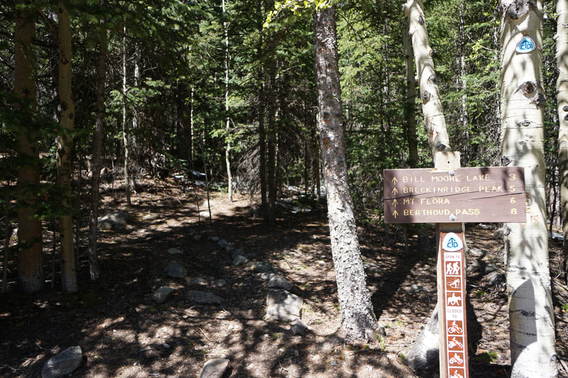
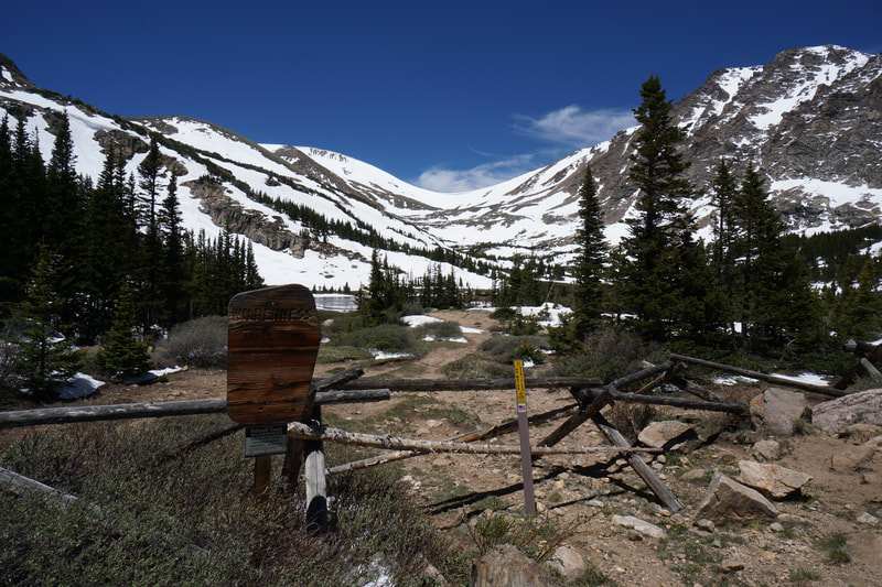
DIRECTIONS: From I-70 west of Idaho Springs, take the St. Marys/Alice exit. Follow Fall River Road for about 8.4 miles and turn left onto Alice Road. Stay on Alice road, past a few intersections at at 1.1 miles, look to the right for the rocky Forest Service Road 7011. There will be a wooden sign on a tree pointing to Loch Lomen (wrong spelling) and James Peak. Park here off the side of the road.
|
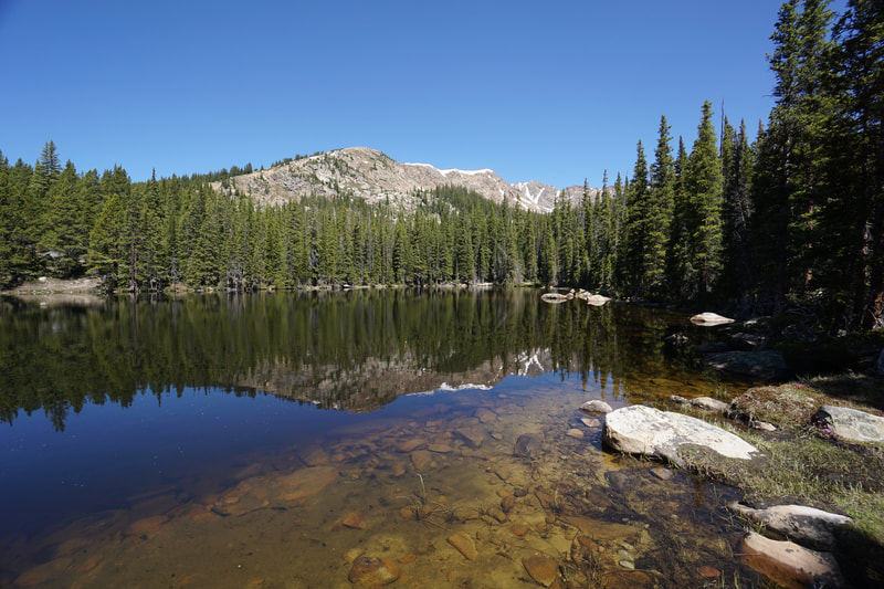
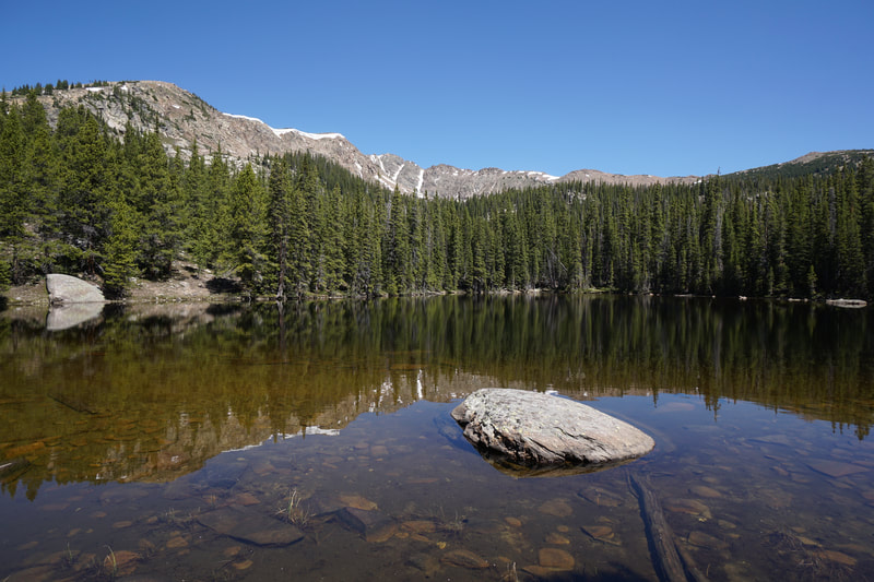
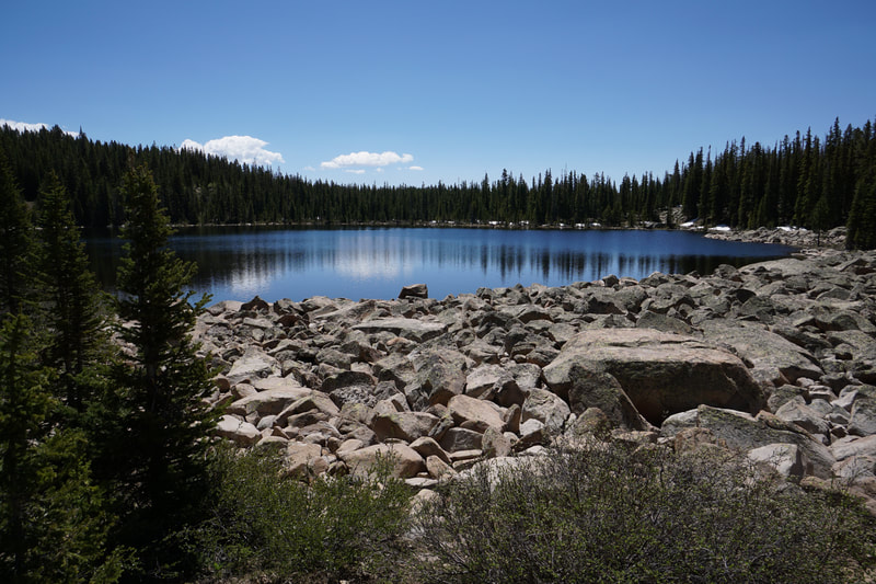
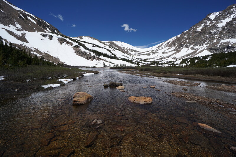
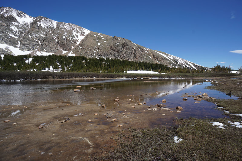
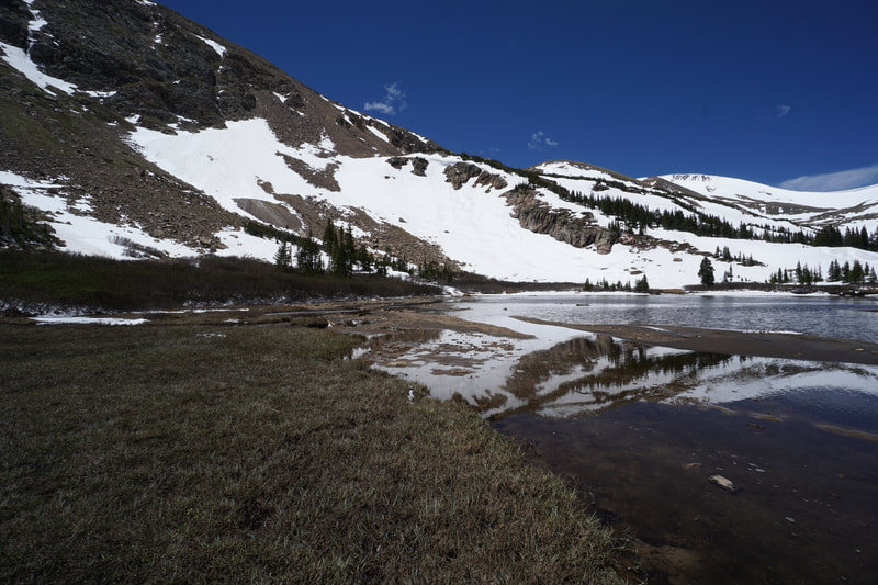
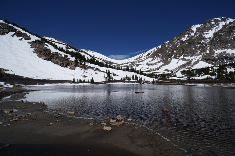
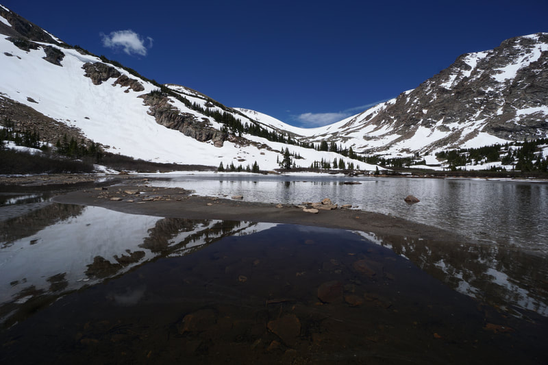
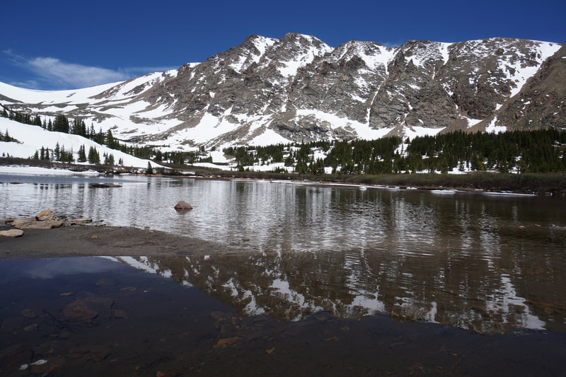
Bill Moore Lake is a beautiful alpine lake nestled against the high peaks of the Continental Divide on the eastern edge of the James Peak Wilderness Area. There are two ways to get to Bill Moore Lake, many people drive their OHVs along a series of forest service roads, however, the more scenic way to reach the lake is via the Continental Divide National Scenic Trail. It is an incredible, but difficult, hike.
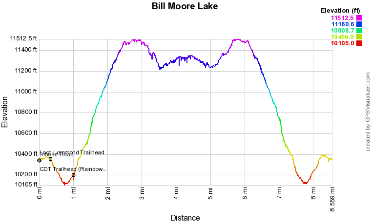
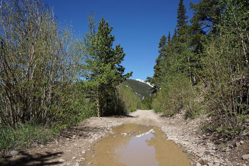
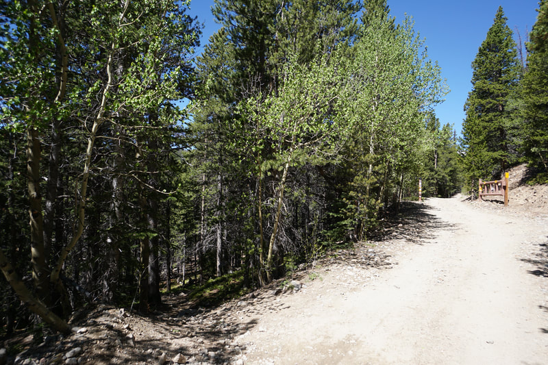
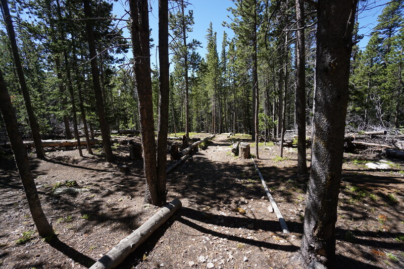
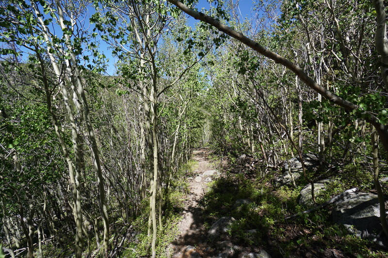
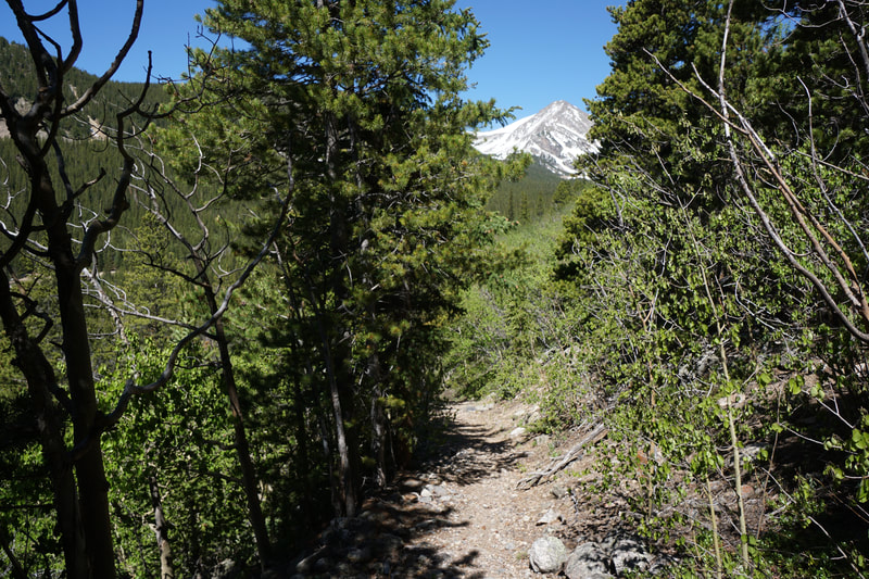
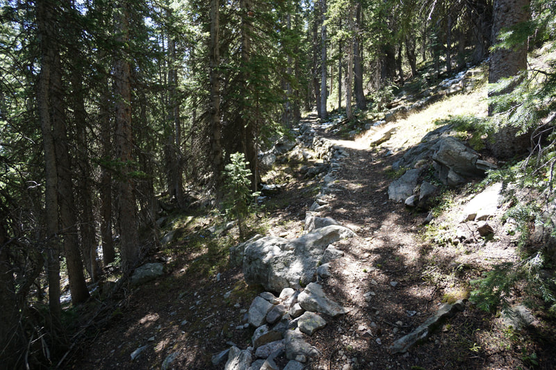
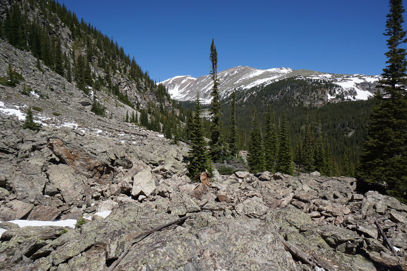
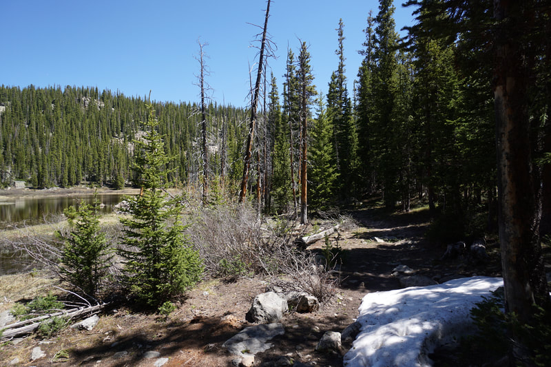
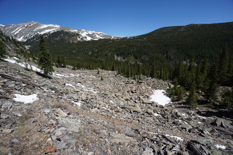
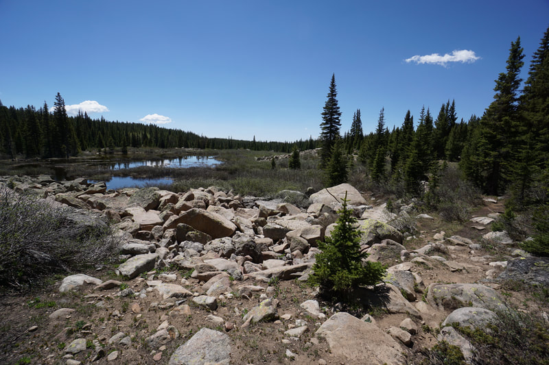
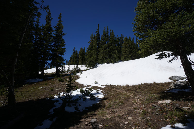
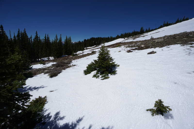
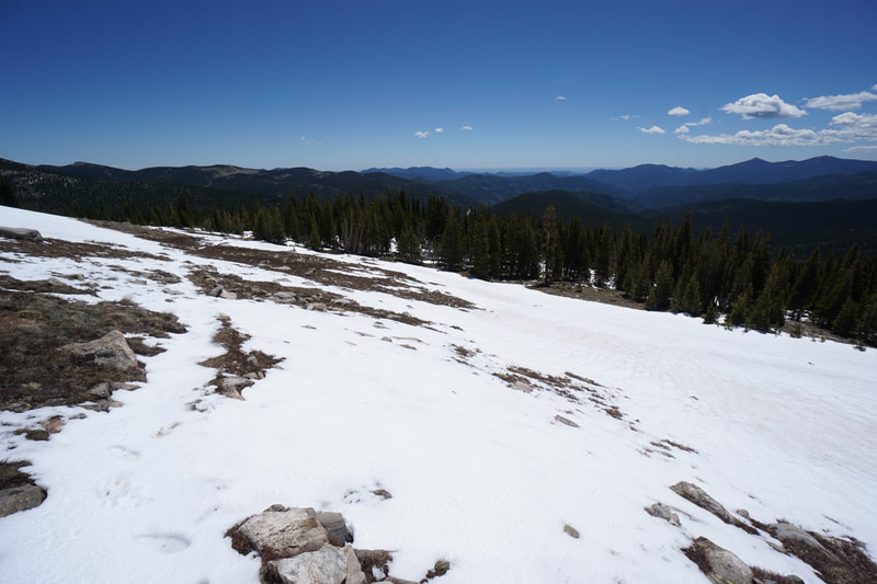
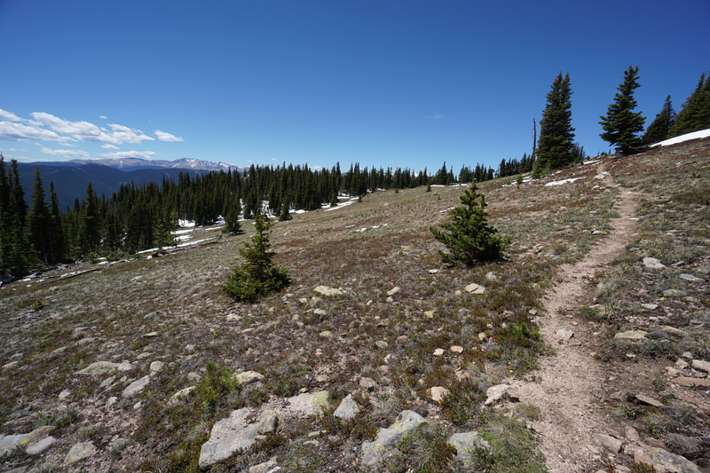
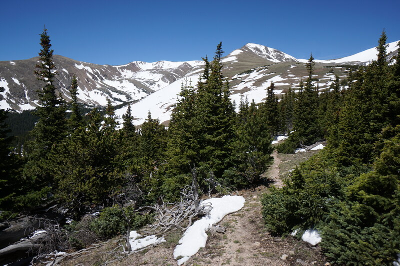
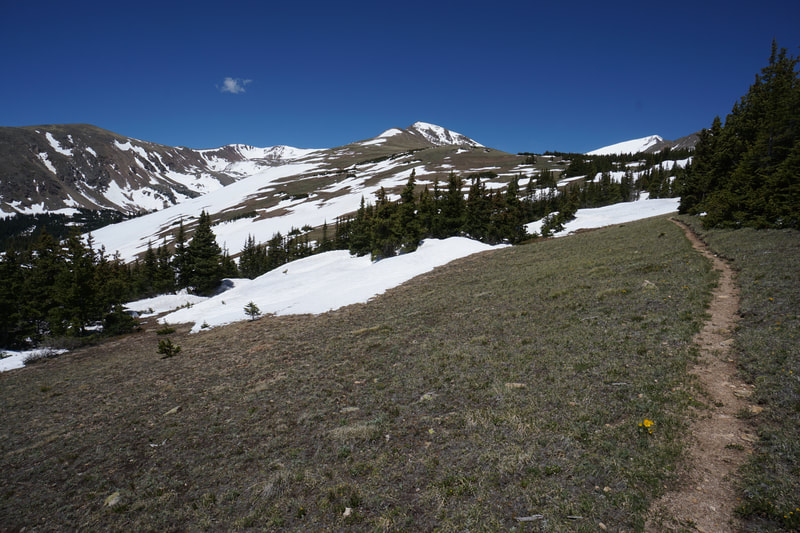
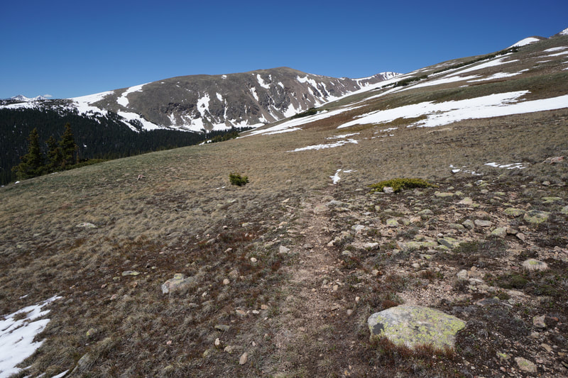
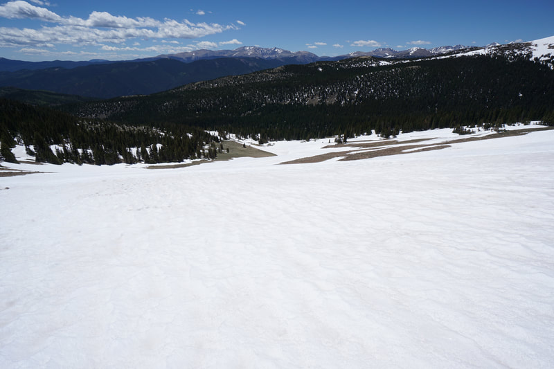
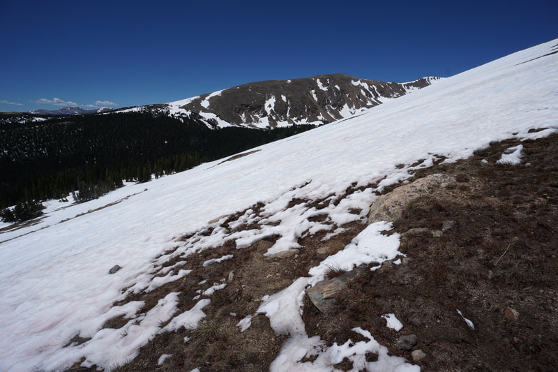
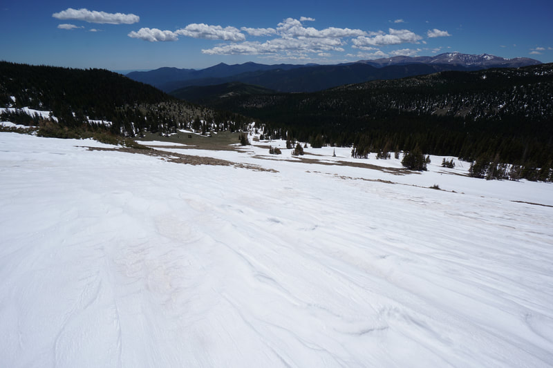
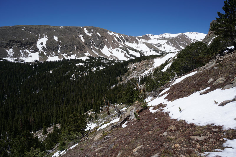
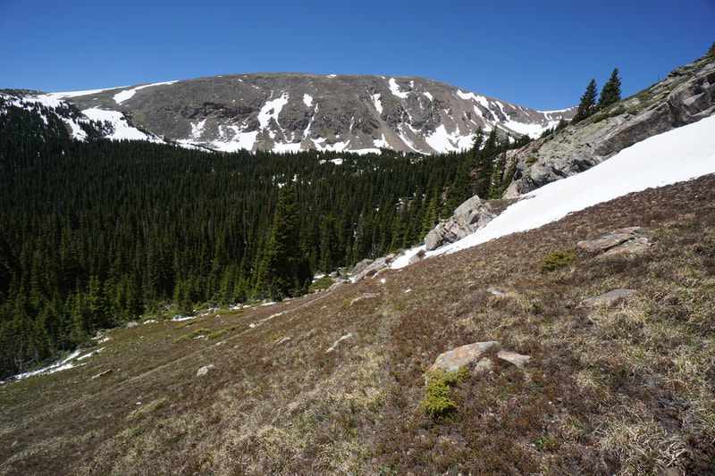
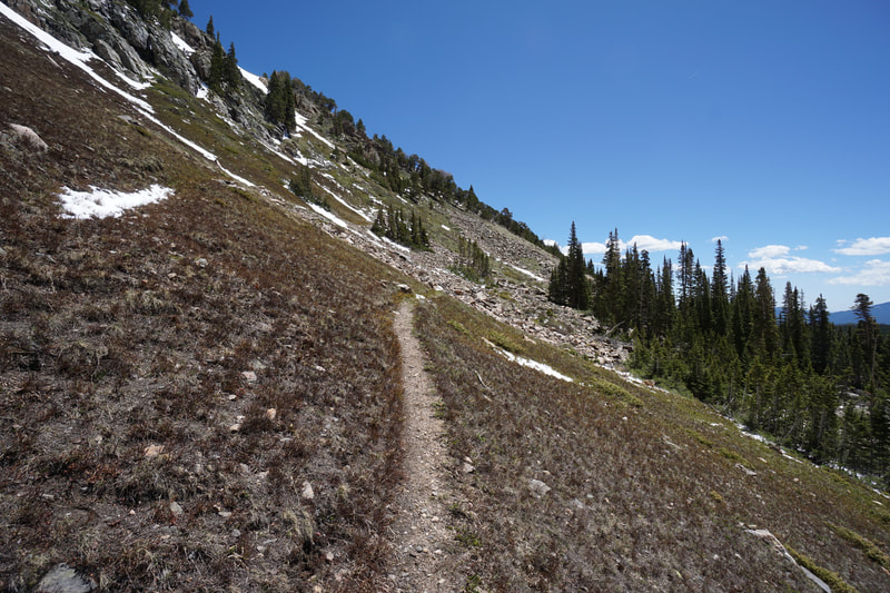
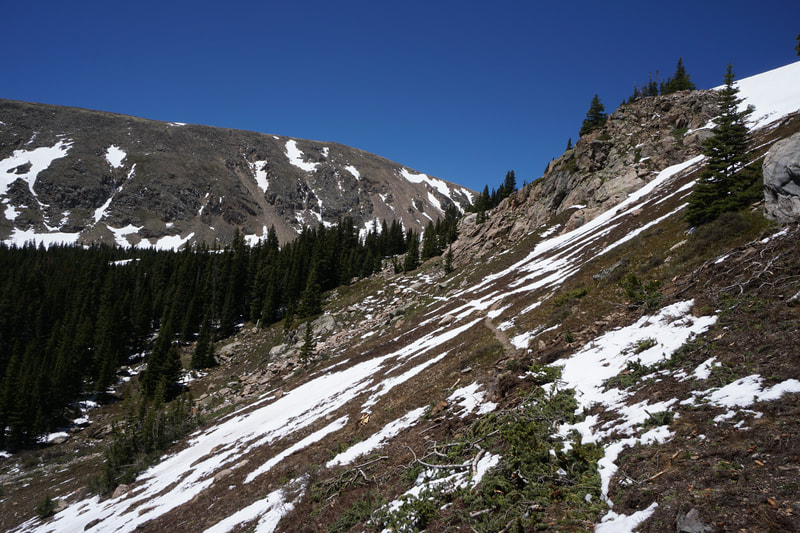
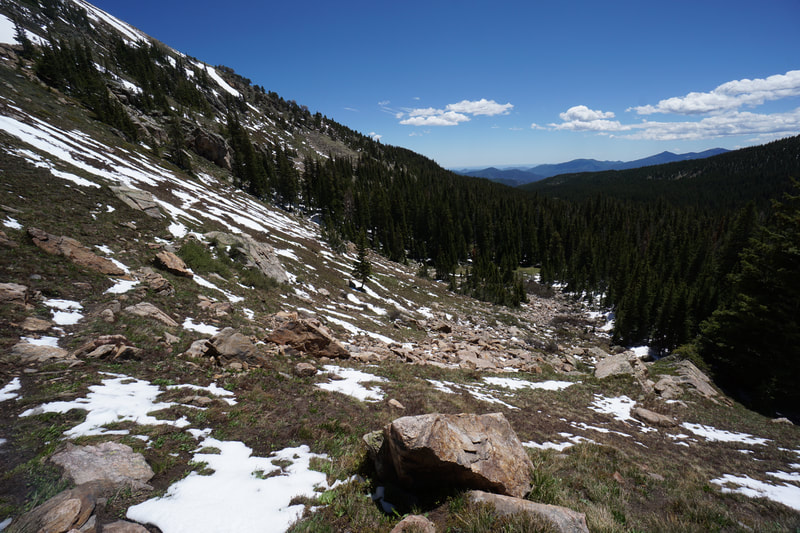
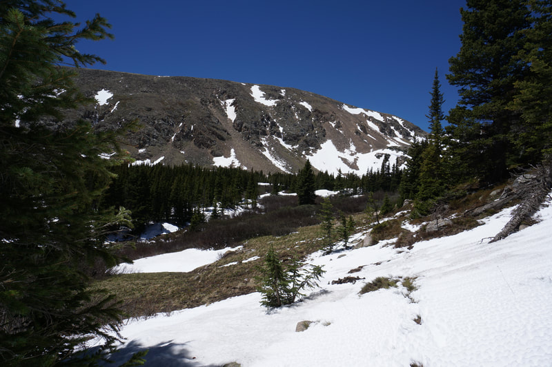
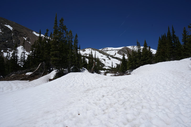
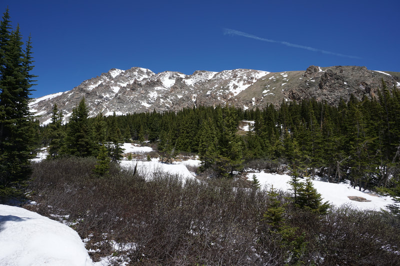
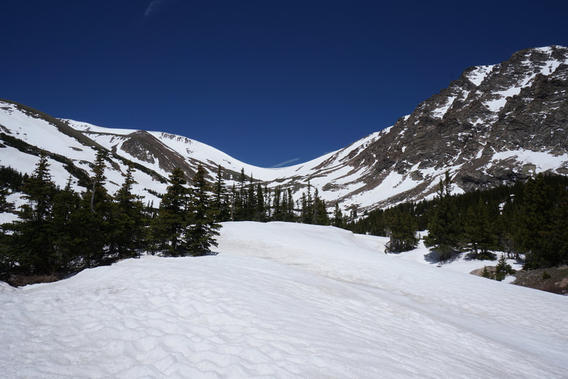
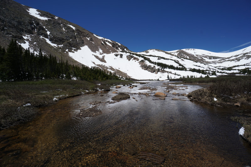
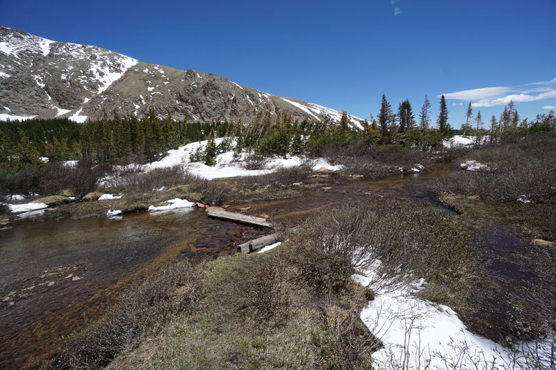
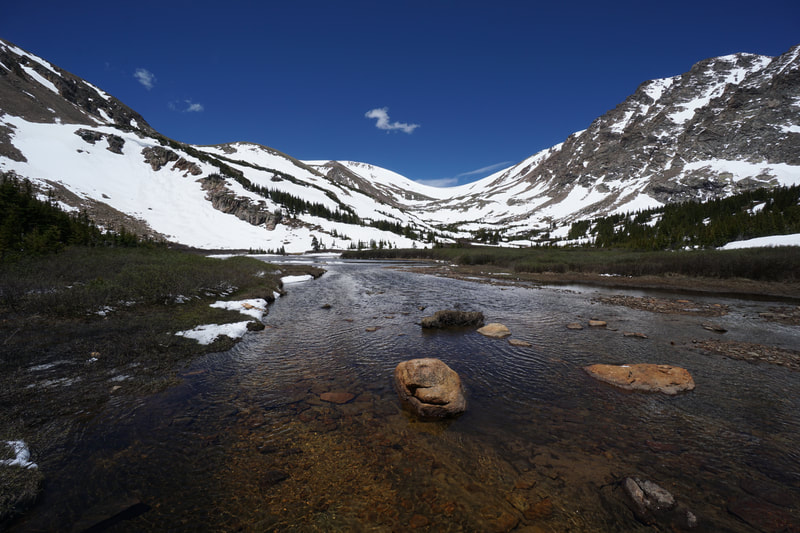
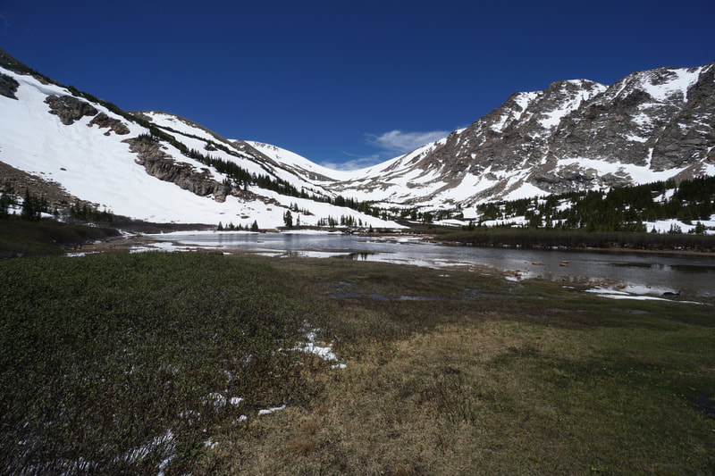
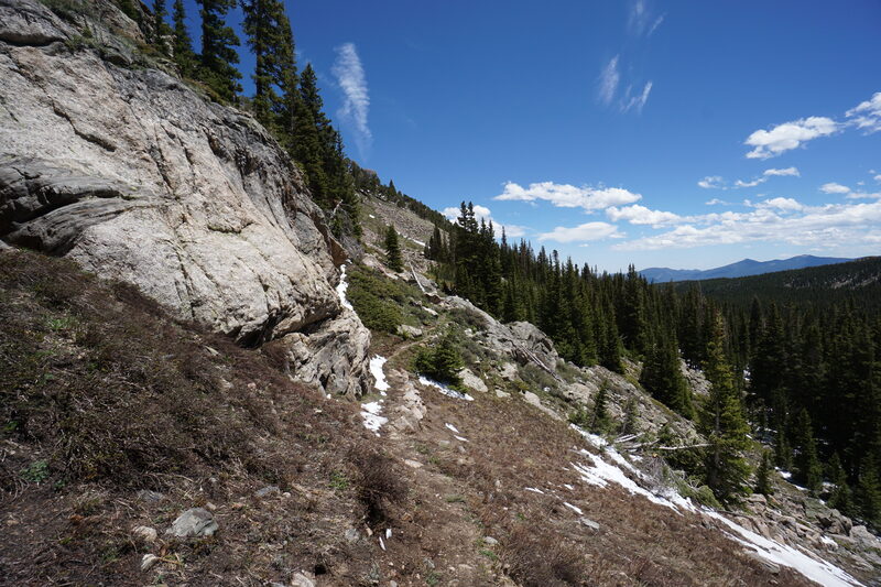
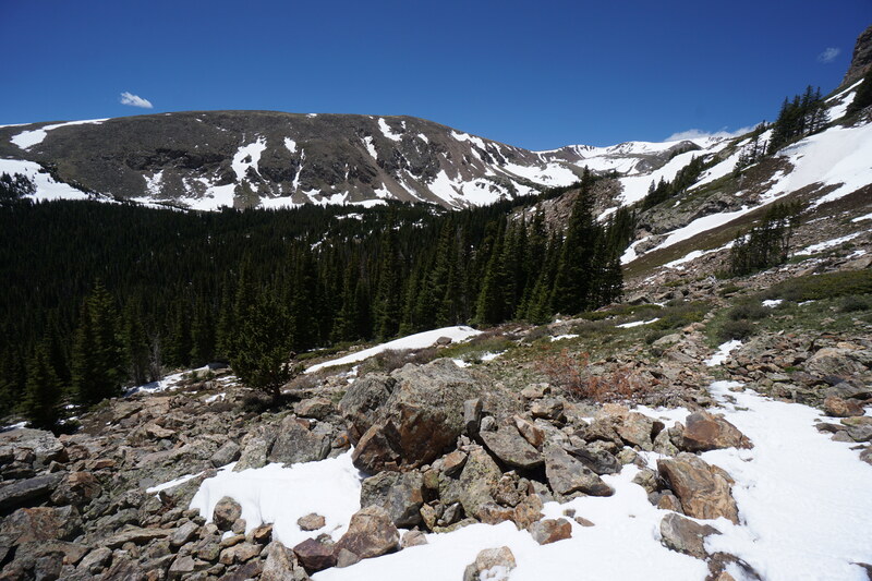
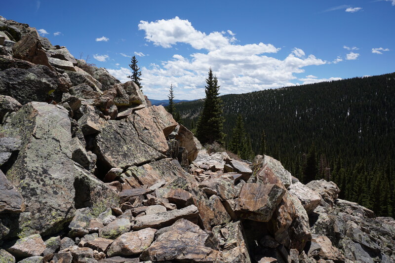
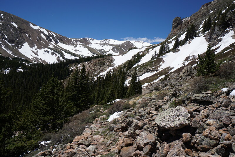
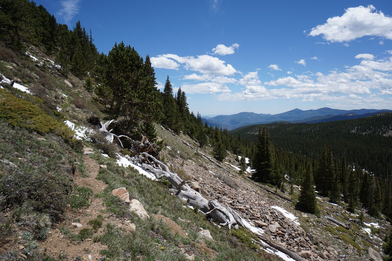
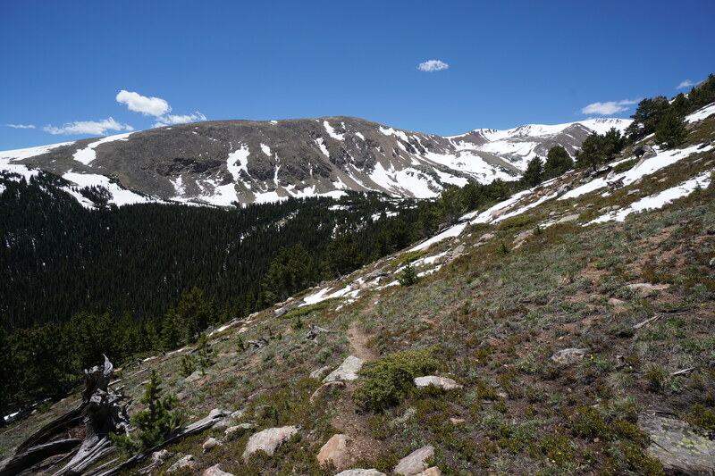
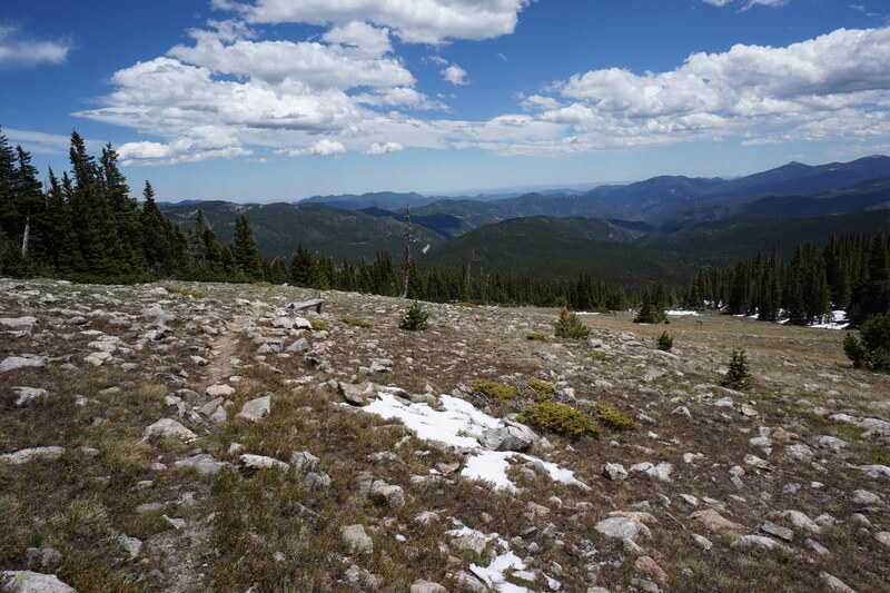
I hiked this trail in early June. Hiking in the late spring is tricky, the trail is not quite ready to be hiked. 2020 has been a relatively dry spring in the Front Range and while the majority of the trail was snow free during this hike, there were areas that were covered by massive snow drifts making the hiking and route finding difficult. I'll highlight the difficult areas throughout this post. That being said, this is a great time for this hike since the OHV roads are not yet passable. On a weekday, I didn't see another soul on the trail or at the lake. Solitude like this in the Front Range is well worth the extra hiking effort. There are two options for getting to the trailhead and it largely depends on your vehicle. If you do not have a high clearance 4WD, then start your hike at the Loch Lomond Trailhead. Hike up Steuart Road for .3 of a mile to the seasonal gate which is also the Loch Lomond Trailhead. There is parking for a few vehicles here, but the road is rocky getting to the TH. Just before the gate, look for an unmarked trail heading south (left) downhill. This short trail connects to the CDT after just a few minutes of hiking. Follow the CDT for another .3 of a mile down to the next dirt road, known as Rainbow Road. Follow Rainbow Road around the bend for a short ways until you reach the CDT trailhead. If you have a good clearance 4WD vehicle you can start the hike at the CDT trailhead on Rainbow Road. To get to this spot you need to drive on Rainbow Road from where it branches off from Fall River Road. Drive for 1.8 miles on Rainbow Road to reach the trailhead. The only trouble is that if you can't reach the actual trailhead, then there is no place to park along the way as it is all along private property. My Subaru had trouble at the 1.5 mile mark where a steep, very rocky section impeded my travel. Even though I was only 3/10 of a mile away from the trailhead, there was no place to park so I turned around. From the CDT Trailhead along Rainbow Road, the trail starts up the steep forested slope along well constructed switchbacks. You gain a lot of elevation very quickly along this next half mile section of trail. The switchbacks soon climb through a rock slide area with tremendous views of Parry Peak, Mt. Bancroft, and James Peak. After the rock slide, the trail heads back into the forest and reaches the James Peak Wilderness boundary after a half mile. At this point, the trail continues uphill but mellows out a bit making the hiking very pleasant. It's not long before you reach treeline and the views become absolutely incredible. You are treated to amazing views of Mt. Evans and Mt. Bierstadt, Square Top Mountain, Grays and Torreys Peaks, and all the other mountains and peaks in between. The trail soon begins its descent down to Bill Moore Lake, this is where route finding gets tricky in the late spring. Massive snow fields may still cover large portions of the trail here. The best way to navigate this area is to have a GPS device with you so you can make sure that you are in line with the trail. Do not trust the footprints of previous hikers. If you remain on track, then the trail skirts along the side of the mountain, now heading west towards the mountains. The trail weaves through a rocky section and then another patch of forest as the trail intersects with the OHV road. The lake is just to the west and various trails weave to the lakeshore, a good trail follows the southern shore for the best views. In the late spring, massive snow drifts cover this area, choose whatever path you can to reach the lake. The lake is stunning, a worthy hiking destination surrounded by towering peaks including Breckinridge Peak, Mt. Flora, and Witter Peak. The journey back to the trailhead follows the same route, but don't forget to save some energy as you have to climb back up to treeline from the lake and then climb back to the trailhead from Rainbow Road. This hike is worth the effort. It's lightly traveled, the views are stellar, and the lake is beautiful. If you want an easier time of it...wait until July...or hike it in late September when the aspens are turning...should be amazing. Enjoy! |

