|
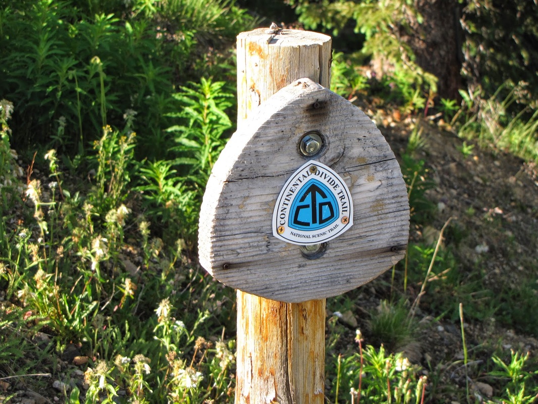
Directions: This hike starts at the summit of Berthoud Pass. From Denver, take I-70 W to 40 North towards Empire and Winter Park. Follow 40 up to the summit of Berthoud Pass and park on the east side of the pass. Look for the Continental Divide NST trail markers and the signs pointing to Mt. Flora.
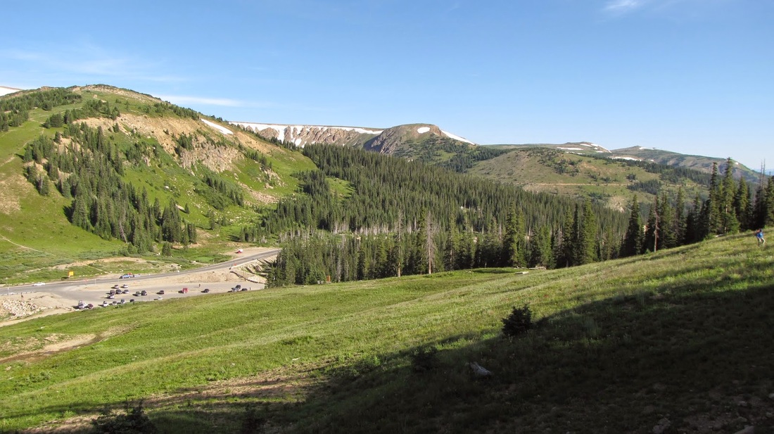
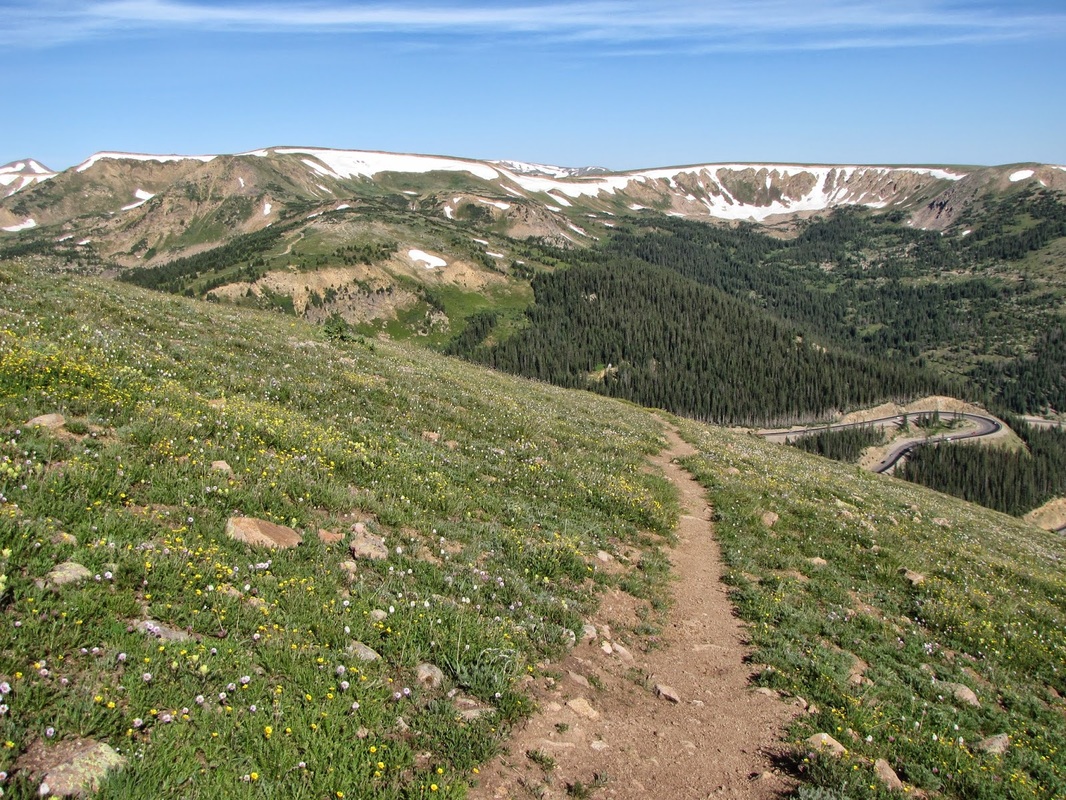
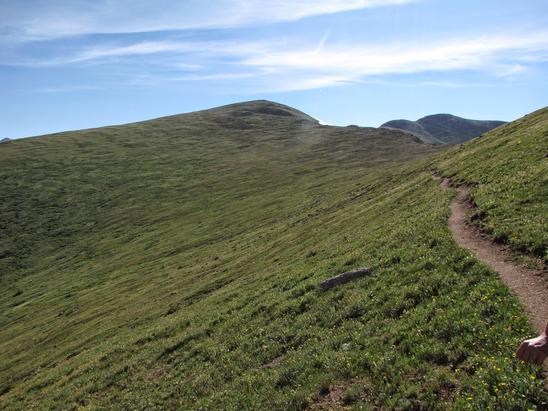
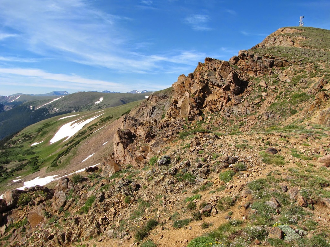
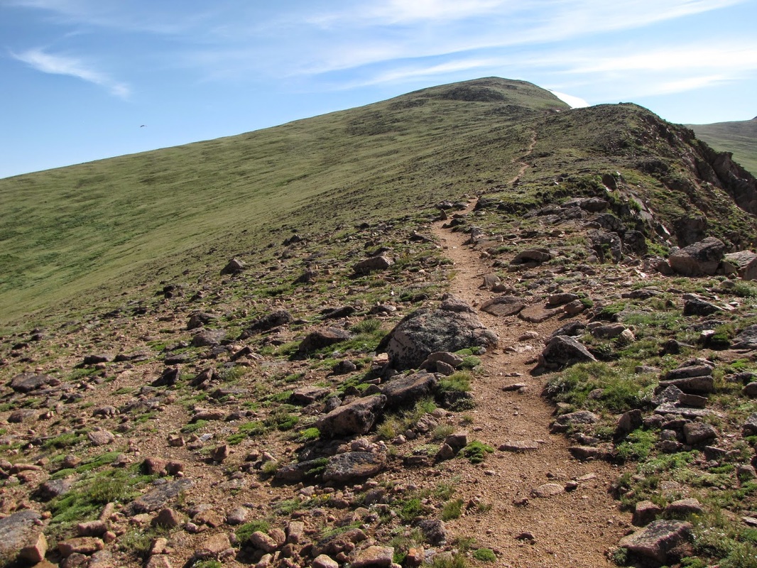
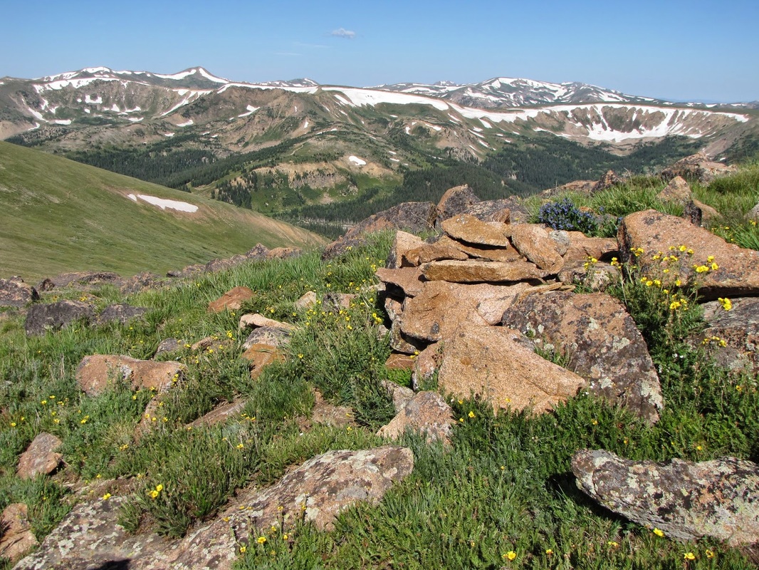
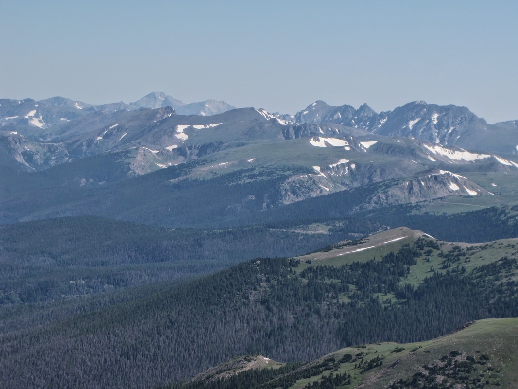
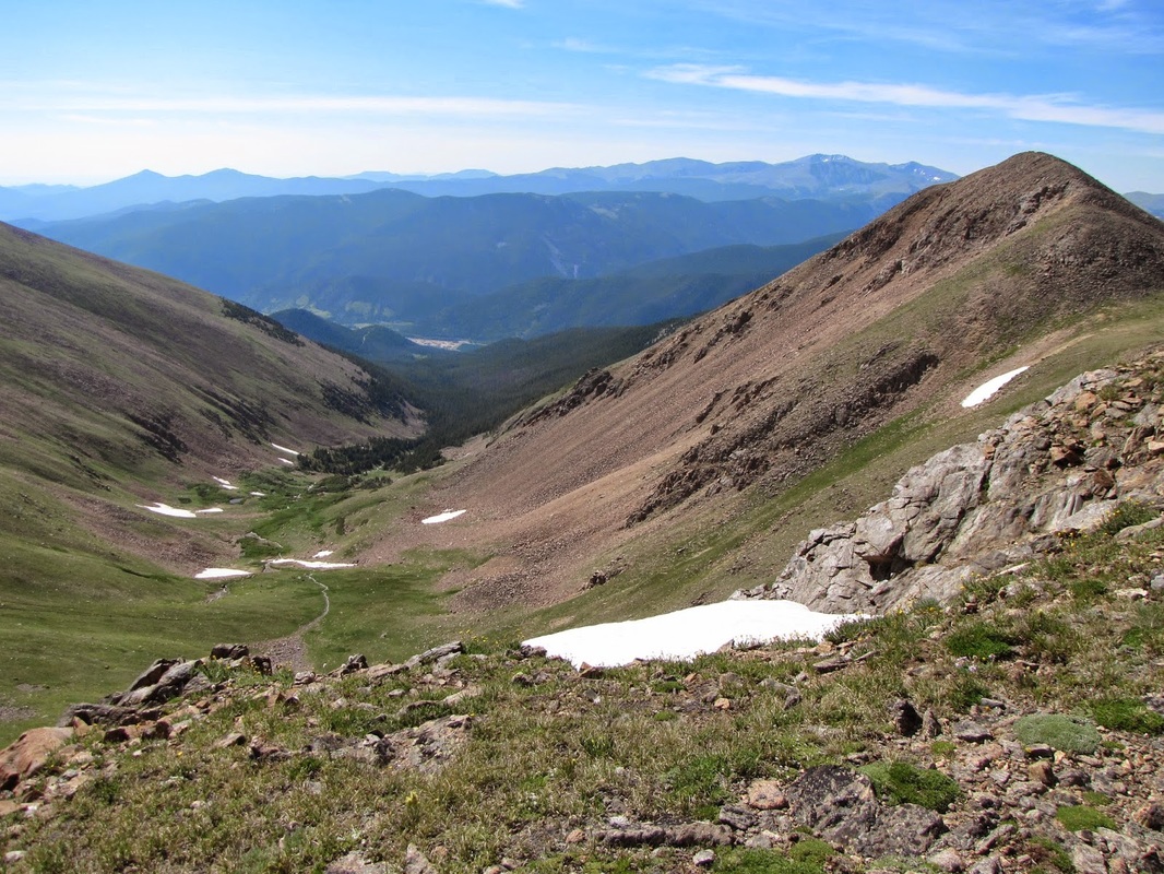
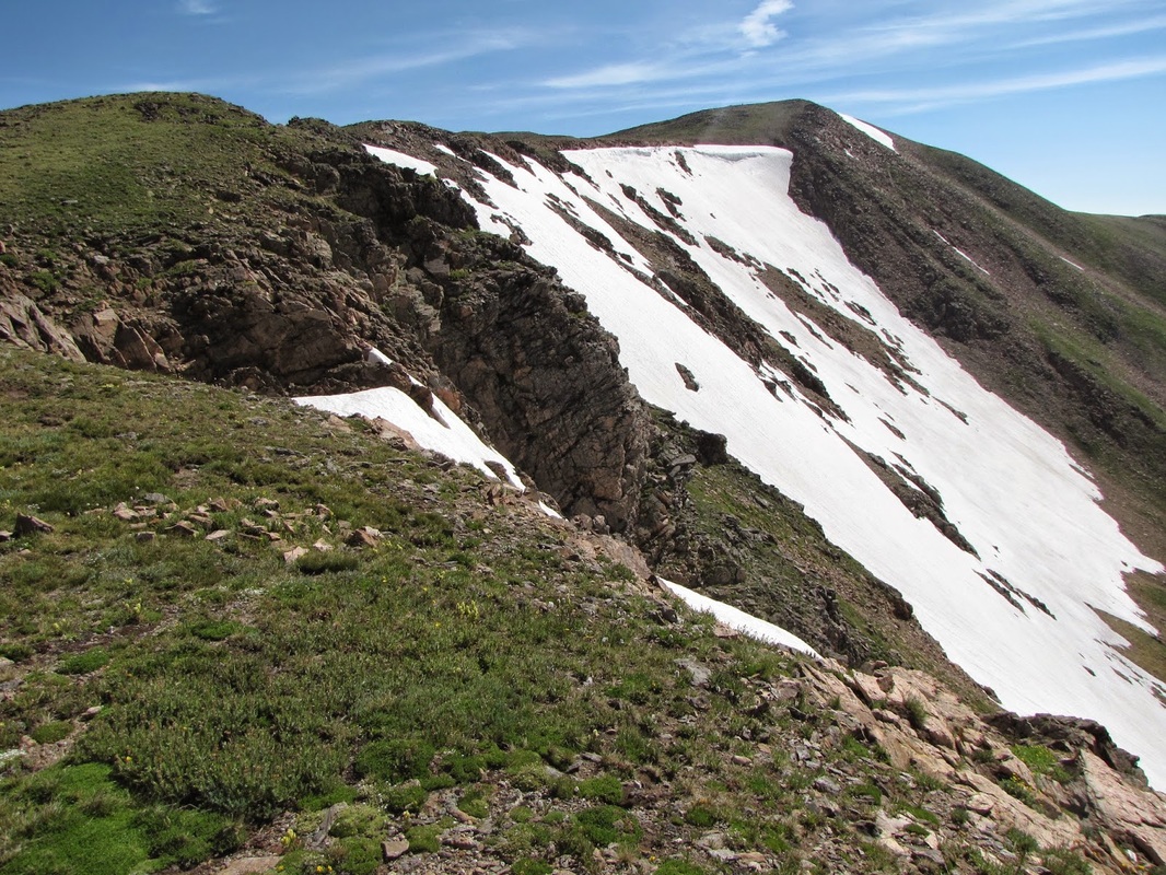
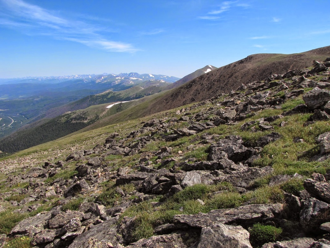
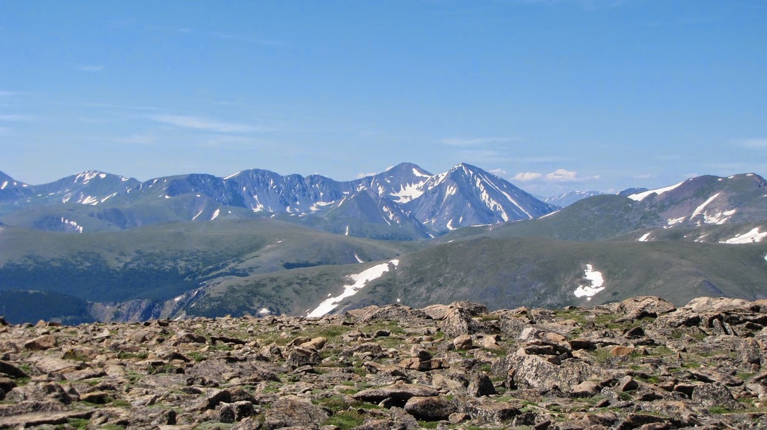
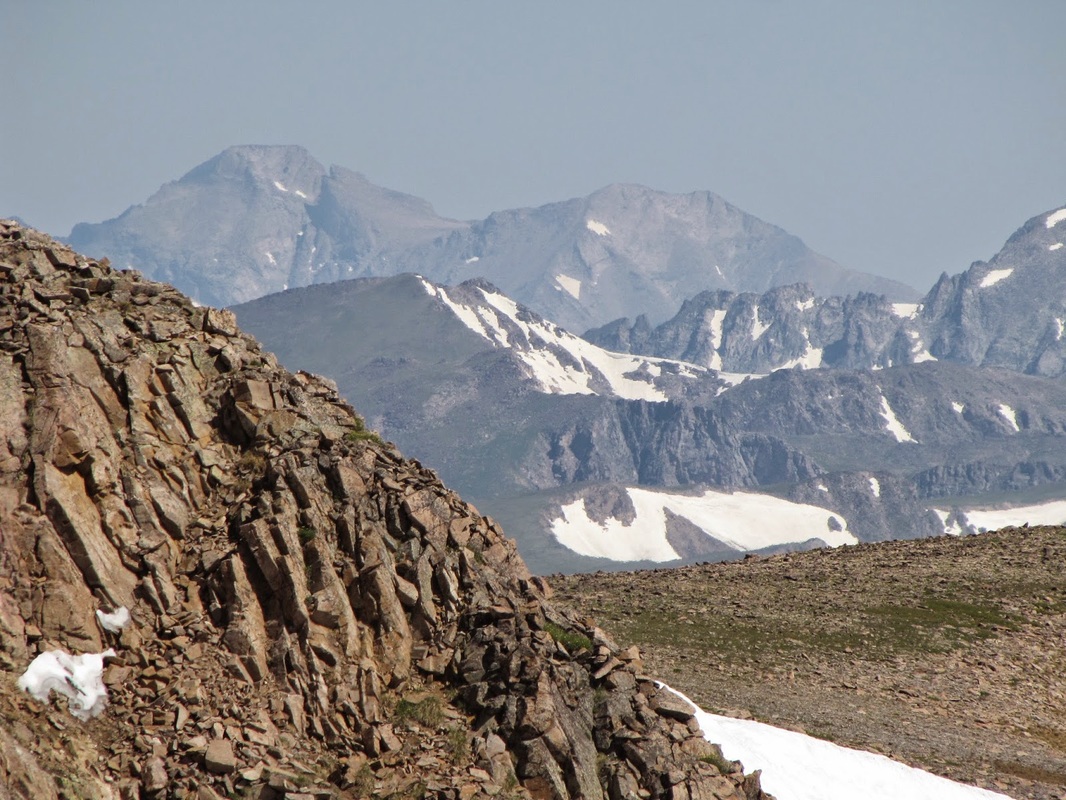
This hike is simply beautiful. The trail starts at Berthoud Pass over 11,000 ft and quickly gains the ridge of the Continental Divide. You can follow this trail for as long as you want (eventually leading to Canada...) Mt. Flora makes for a good moderate destination. Start the hike switchbacking through the last remnants of high alpine forest up towards Colorado School of Mines Peak (the one with the weather station). Before you reach the summit, the trail will branch off to the north. Follow this trail up to the top of the ridge and then steadily along for 2 miles until you reach the summit of Flora. Easy to follow and the entire trail has amazing views. From the summit, you can see virtually the entirety of the Front Range: the Indian Peaks and Rocky Mountain NP to the north; Winter Park and the Gore Range to the West; Mount Evans, Grays and Torrey's Peaks to the South; and the foothills and Great Plains to the East. Simply beautiful. This hike is a great way to access the high peaks as you drive for most of the elevation gain. If you want a similar hike, but with much more elevation gain, check out Stanley Mountain. That being said, you just can't go wrong hiking in this area. |
|
- HOME
- ABOUT
-
HIKES BY REGION
-
NATIONAL PARK HIKES
- BENT'S OLD FORT NATIONAL HISTORIC SITE
- BLACK CANYON OF THE GUNNISON NATIONAL PARK
- COLORADO NATIONAL MONUMENT
- CURECANTI NATIONAL RECREATION AREA
- DINOSAUR NATIONAL MONUMENT
- FLORISSANT FOSSIL BEDS NATIONAL MONUMENT
- MESA VERDE NATIONAL PARK
- ROCKY MOUNTAIN NATIONAL PARK
- GREAT SAND DUNES NATIONAL PARK
- HOVENWEEP NATIONAL MONUMENT
- SAND CREEK MASSACRE NATIONAL HISTORIC SITE
- YUCCA HOUSE NATIONAL MONUMENT
- HIKES BY CATEGORY
- NEWS
- WEBCAMS
- $UPPORT GHC
- INTERACTIVE MAP
Mt. Flora (13,164ft)
James Peak Wilderness; Continental Divide National Scenic Trail; Arapaho National Forest
Date Hiked: July 2011
Distance: 5 mi (RT)
Elevation Gain: 1,839 ft
Managing Agency: U.S. Forest Service
Fee: None