|
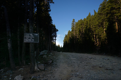
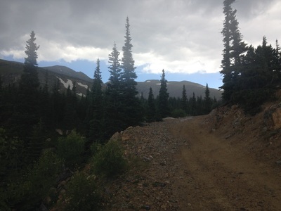
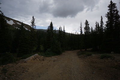
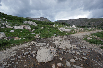
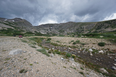
Directions: From I-70, take the Fall River Road exit towards St. Mary's/Alice. Follow Fall River Road for about 8.4 miles and turn left onto Alice Road. Stay on Alice road, past a few intersections at at 1.1 miles, look to the right for the rocky Forest Service Road 7011. There will be a wooden sign on a tree pointing to Loch Lomen (wrong spelling) and James Peak. Park here off the side of the road. You can continue up the Forest Service Road all the way to the Loch, but the road is in pretty bad shape these days. If you have a Jeep or a good clearance 4WD you'll be fine, but SUVs and Subarus may have a hard time. Either way, the hike along the road is very nice.
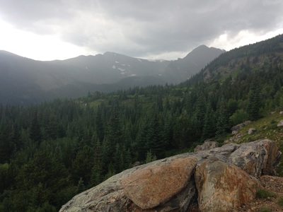
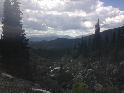
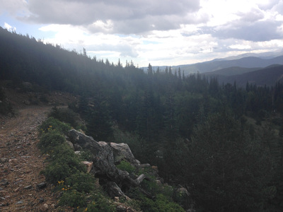
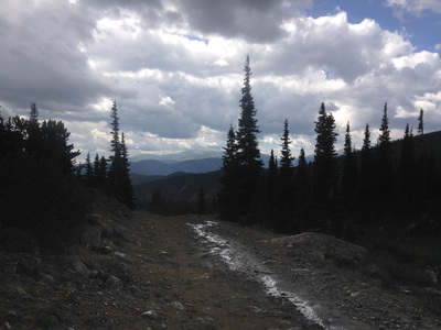
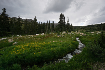
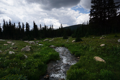
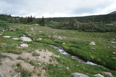
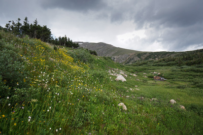
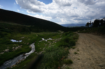
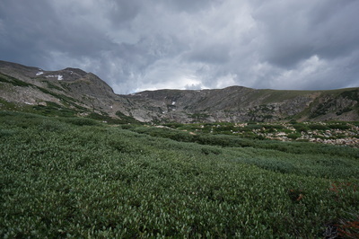
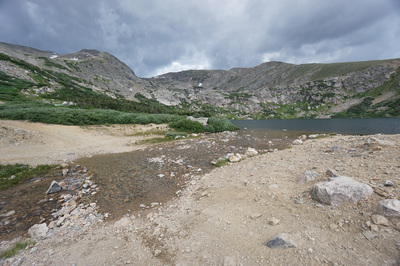
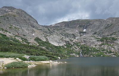
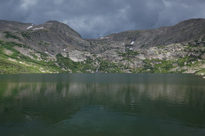
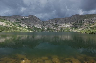
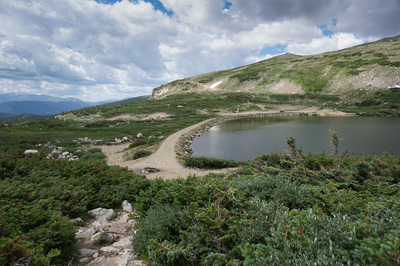
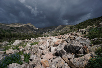
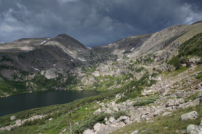
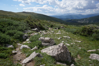
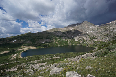
Loch Lomond is a wonderful destination and well worth the 2.5 mile hike up the Jeep road. Along the way, you pass through dense forest, creeks, meadows and wildflowers. The views of the Continental Divide are tremendous and the Loch itself is spectacular. If you hike here on the summer weekends, there will be lots of 4WD activity, but on the weekdays (especially early in the morning) you'll have the road mostly to yourself.
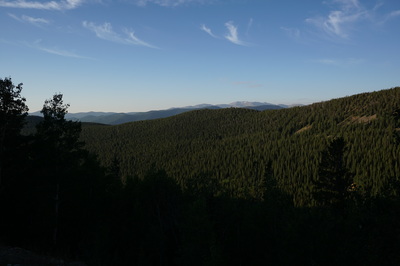
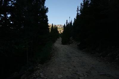
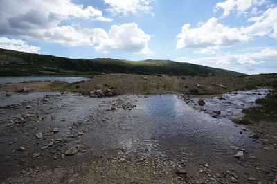
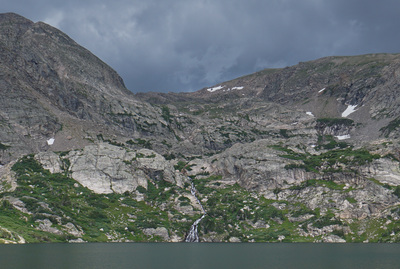
From the intersection of FR 7011 and Alice road, head up the rocky dirt road. In .3 miles you'll pass through a seasonal closure gate. At .7 miles you'll reach the Continental Divide Trail (turn off here for James Peak). After another .5 miles along the road, the views start to open up, be sure to look behind you for views of Mt. Evans and Mt. Bierstadt. As you get closer to the Loch, you'll notice many campsites and the creek rolling along on the side of the road. Along with the streams come beautiful wildflowers in the summertime. You may also find social trails that will let you get off the road, but these are seasonal and unreliable. When you start to see the granite peaks looming ahead, you're close to Loch Lomond. Loch Lomond itself is a large reservoir with a wide dam across the eastern shore. There is a trail along the entirety of the Loch, but you'll have to cross the waterfall at the far end to get completely around. There are also a few hiking options when you get to the Lock. You can follow the wide road up to the south of the lake and climb up to Lake Caroline; follow the trail to the west of the lake (towards the divide) to explore Reynolds, Stewart, and Ohman Lakes; or cross the Dam and pick up the trail leading up to James Peak. I highly recommend taking the trail up to James Peak at least for .5 mile, the view looking down on the Loch and the nearby lakes is phenomenal. The hike back down the road is relatively easy but can get monotonous when you are tired and eager to get back to the car. Just remember the views of the Loch on your way back, it will make for a nice distraction from the road. |
- HOME
- ABOUT
-
HIKES BY REGION
-
NATIONAL PARK HIKES
- BENT'S OLD FORT NATIONAL HISTORIC SITE
- BLACK CANYON OF THE GUNNISON NATIONAL PARK
- COLORADO NATIONAL MONUMENT
- CURECANTI NATIONAL RECREATION AREA
- DINOSAUR NATIONAL MONUMENT
- FLORISSANT FOSSIL BEDS NATIONAL MONUMENT
- MESA VERDE NATIONAL PARK
- ROCKY MOUNTAIN NATIONAL PARK
- GREAT SAND DUNES NATIONAL PARK
- HOVENWEEP NATIONAL MONUMENT
- SAND CREEK MASSACRE NATIONAL HISTORIC SITE
- YUCCA HOUSE NATIONAL MONUMENT
- HIKES BY CATEGORY
- NEWS
- WEBCAMS
- $UPPORT GHC
- INTERACTIVE MAP
Loch Lomond
Arapaho National Forest
Date Hiked: July 31, 2015
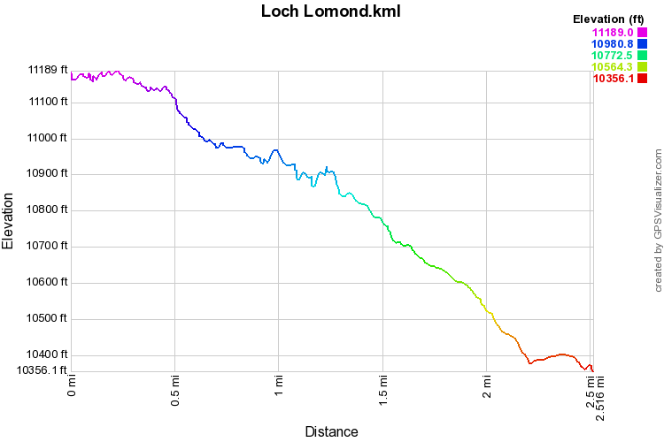
Distance: 5 mi (RT)
Elevation Gain: 911ft
Min/Max: 10,356 to 11,189ft
Trailhead Lat/Long: 39º 50' 01" N; 105º 40' 33" W
Managing Agency: U.S. Forest Service
Fee: None

