|
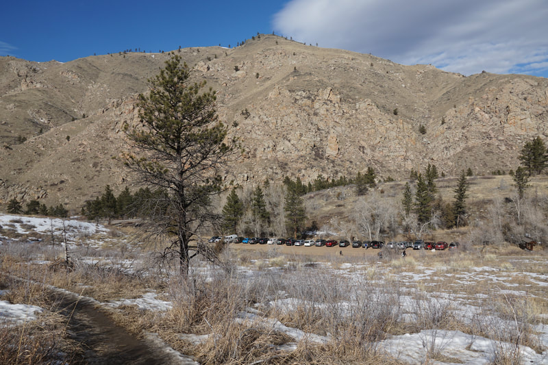
DIRECTIONS: From Fort Collins, follow 287 north out of town. 287 joins with Hwy 14 as it turns west and heads towards the foothills. Turn west on Hwy 14 following signs for Poudre Canyon. Enter the Canyon and follow Hwy 14 past the Greyrock and Hewlett Gulch Trailheads. Turn left into the parking area following signs for Young Gulch. The trailhead turnoff is just past the Ansel Watrous Campground.
Poudre Canyon (so named for the Cache La Poudre River) is one of my favorite hiking spots in the Front Range. The Canyon runs from just north of Fort Collins to Cameron Pass. There are numerous hikes that can be accessed through the canyon and Young Gulch is a great one. This trail was destroyed and rebuilt after the 2013 floods and is now open again. The trail builders should be commended, they did an amazing job!
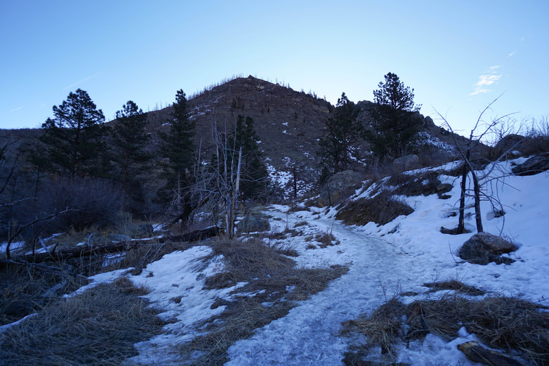
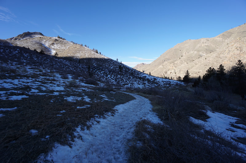
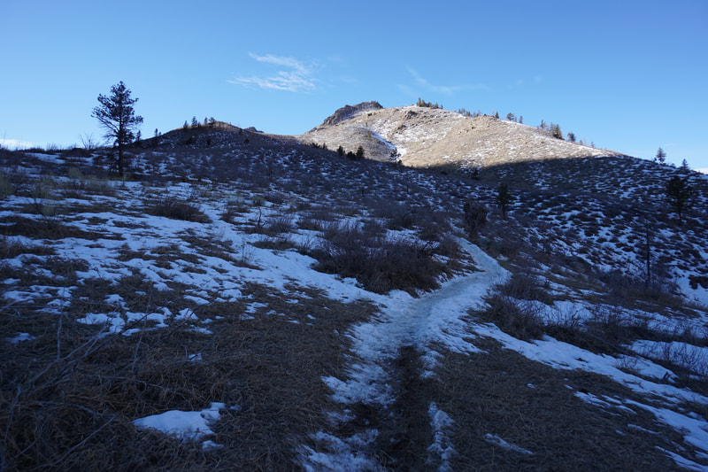
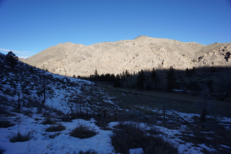
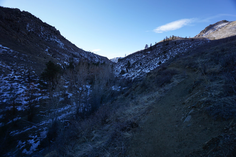
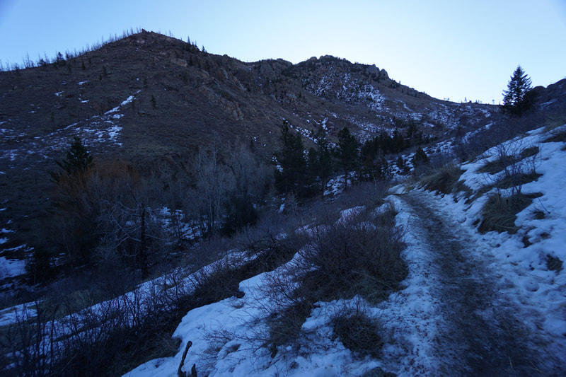
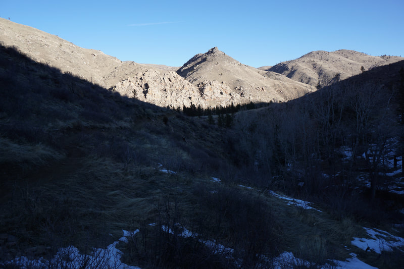
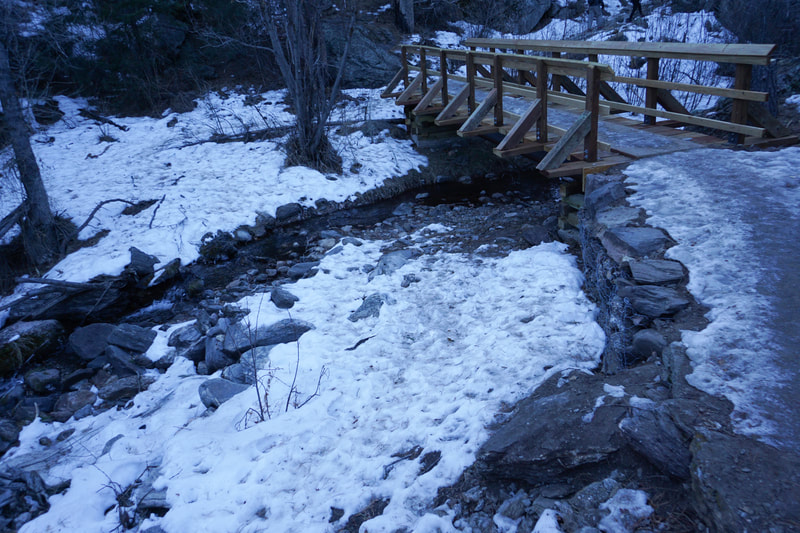
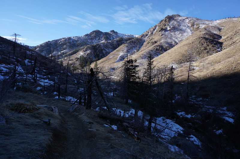
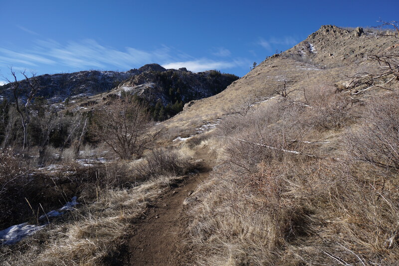
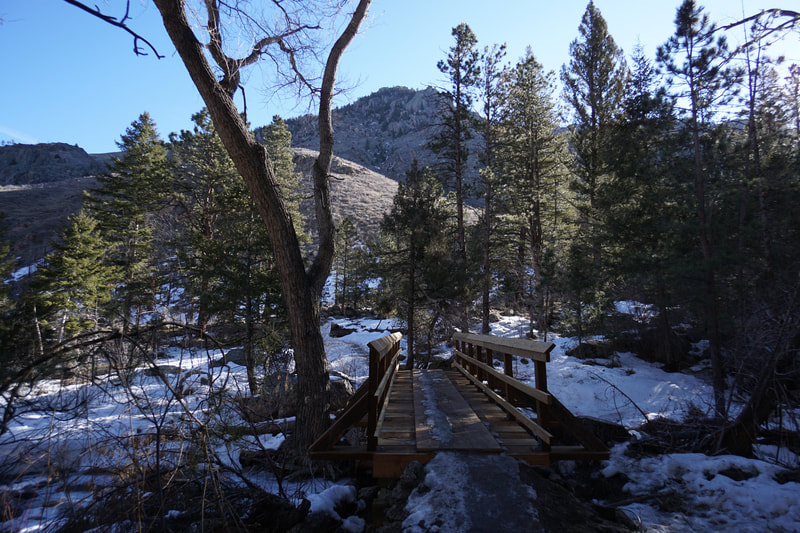
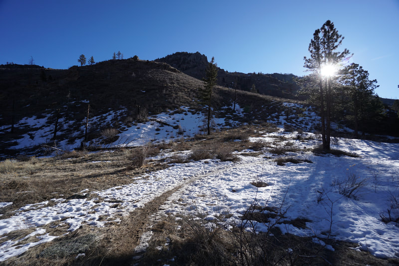
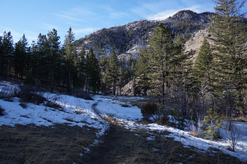
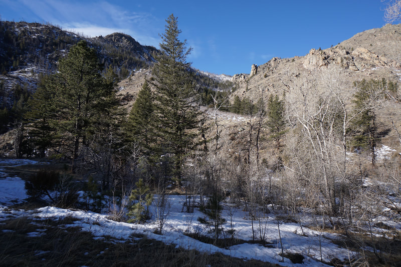
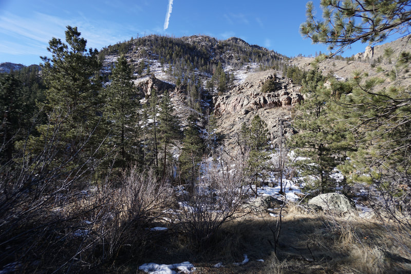
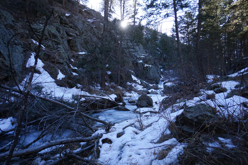
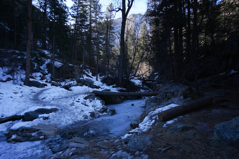
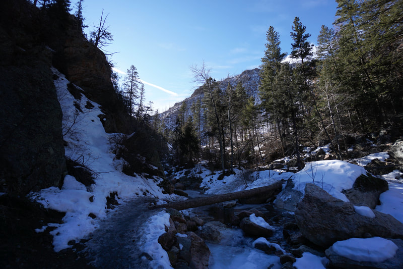
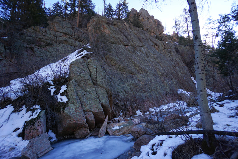
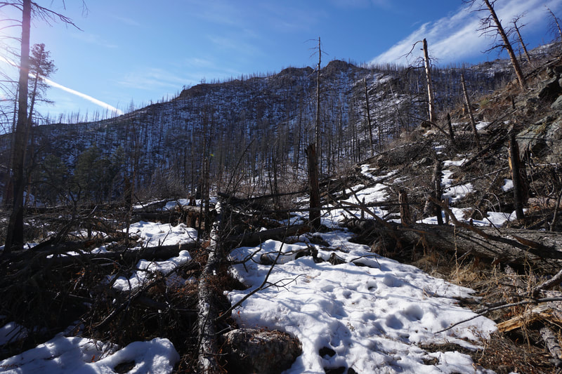
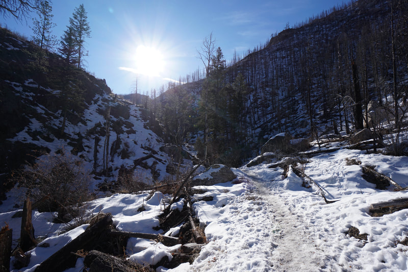
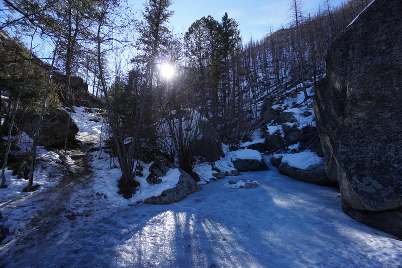
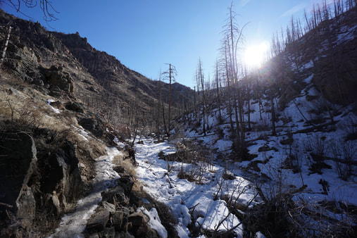
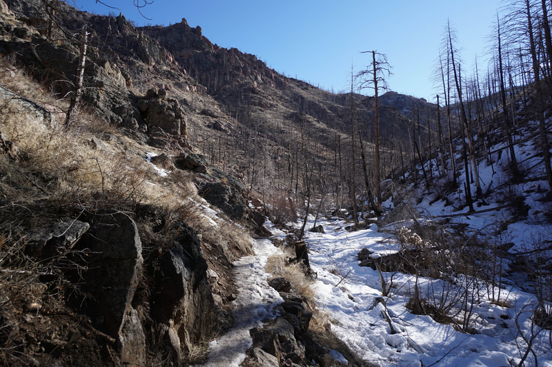
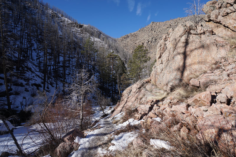
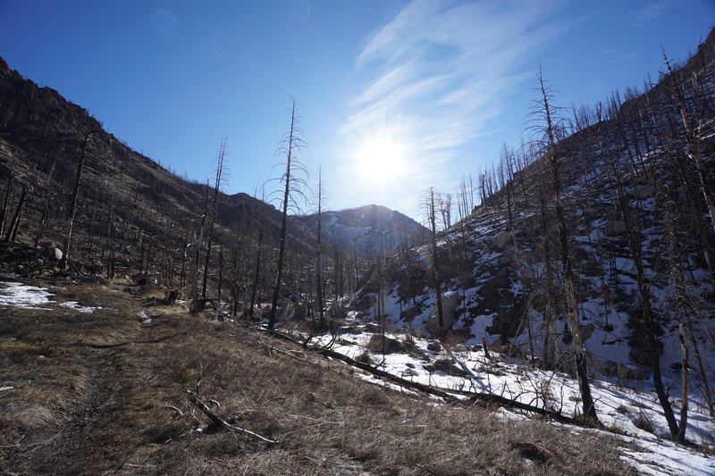
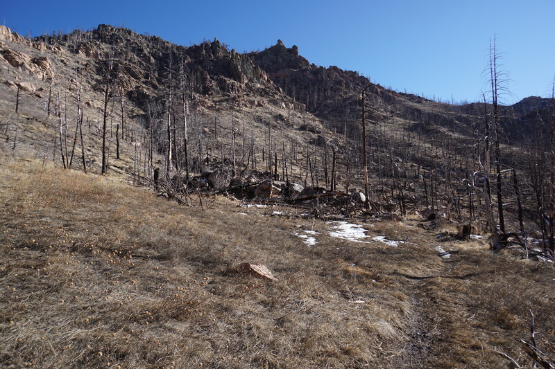
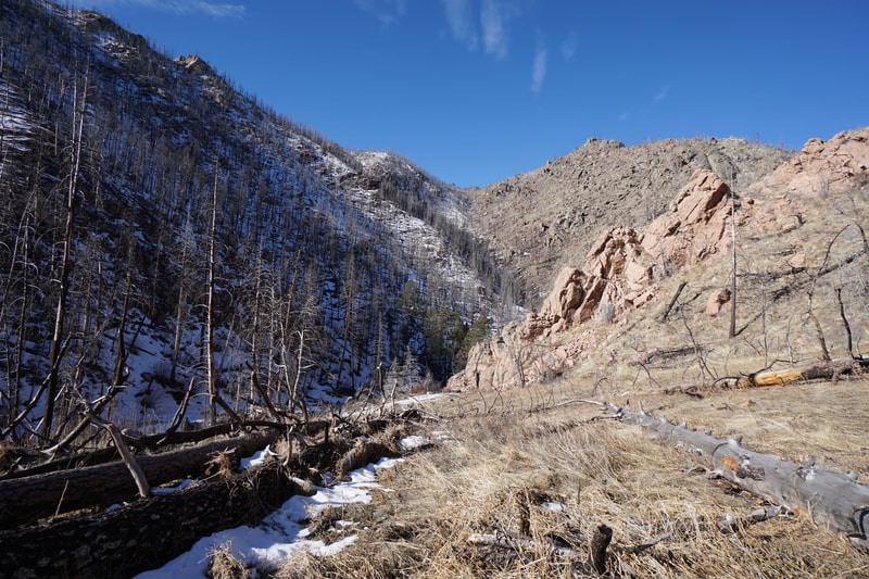
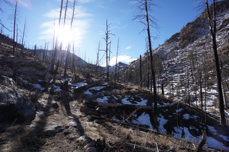
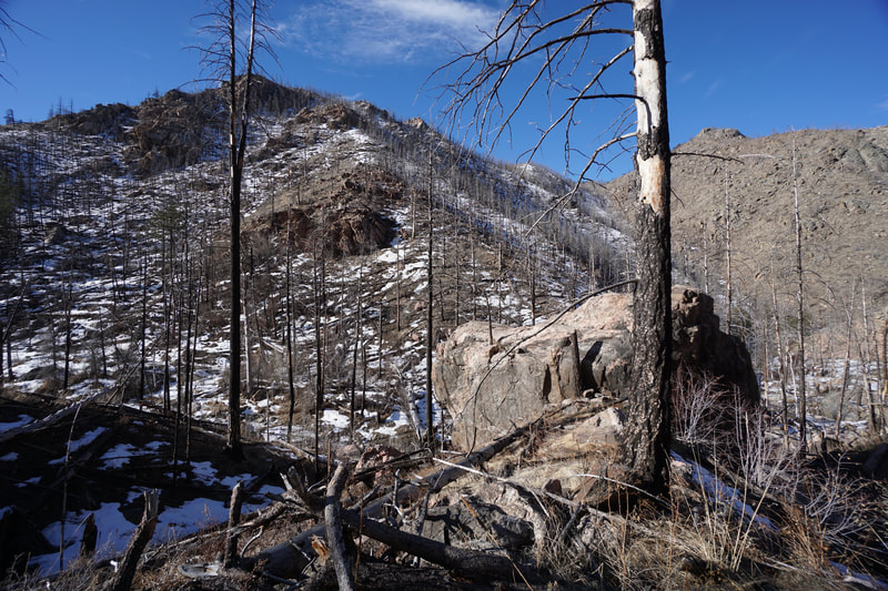
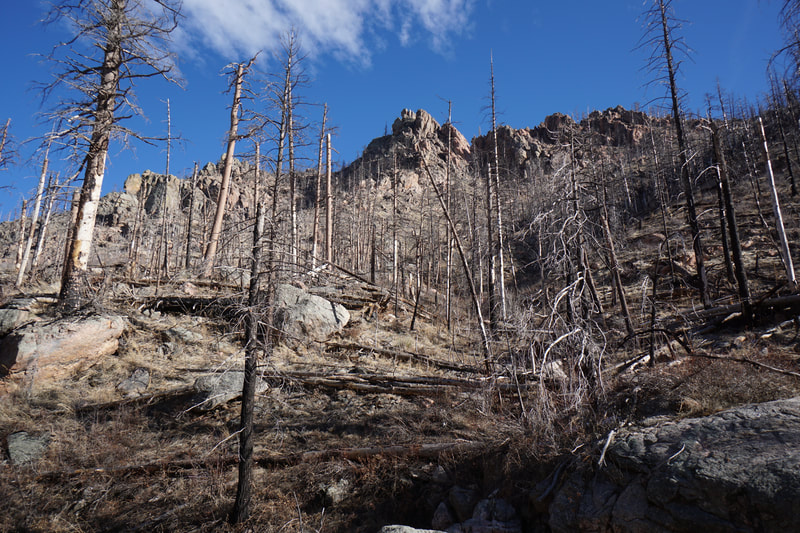
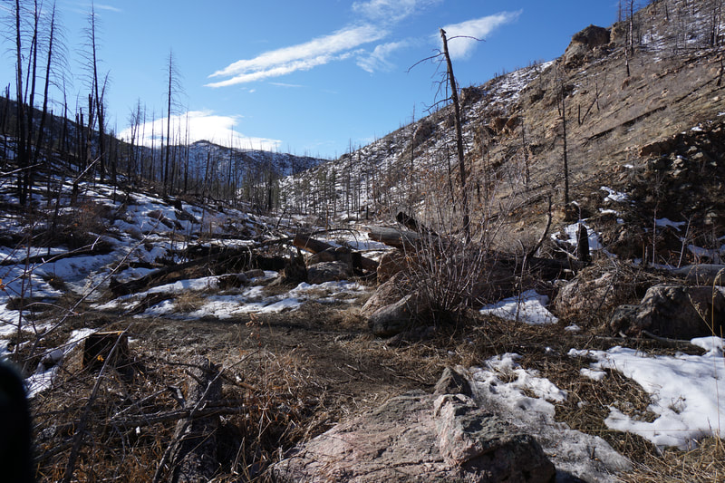
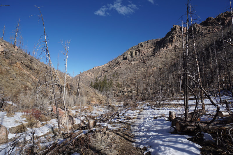
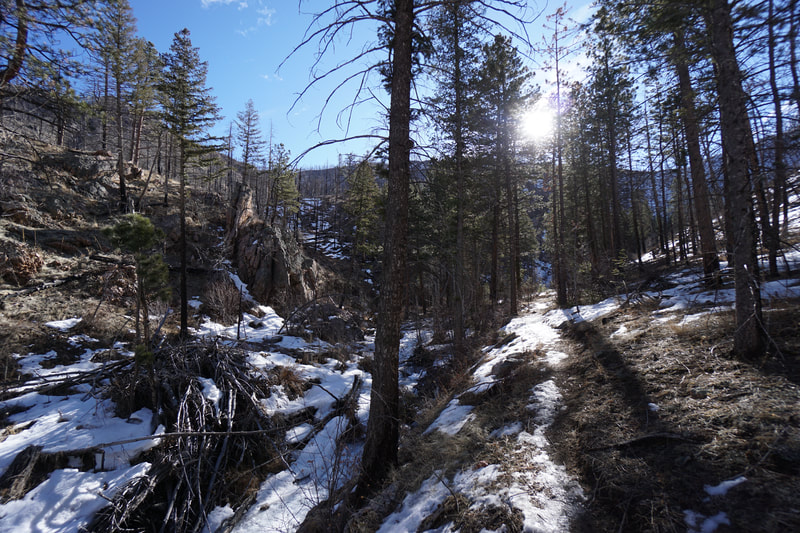
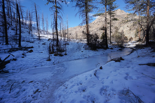
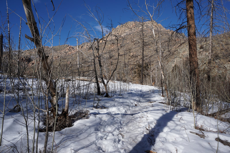
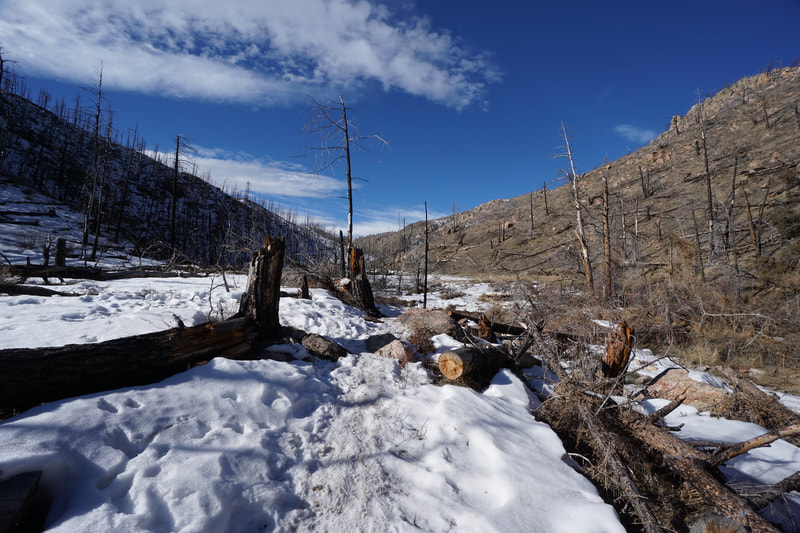
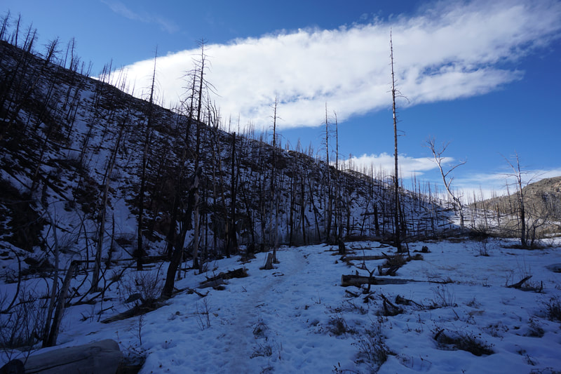
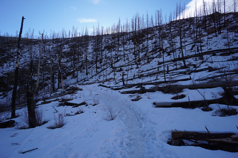
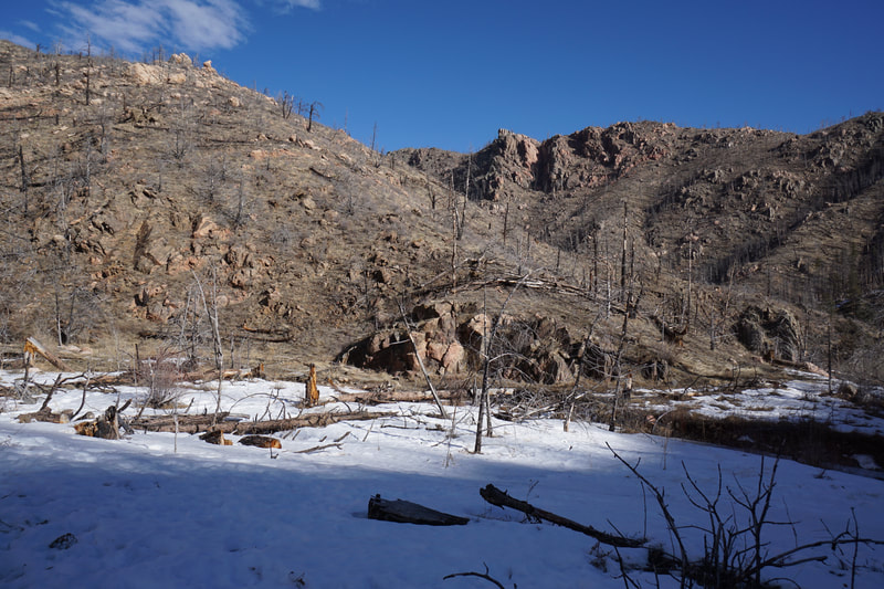
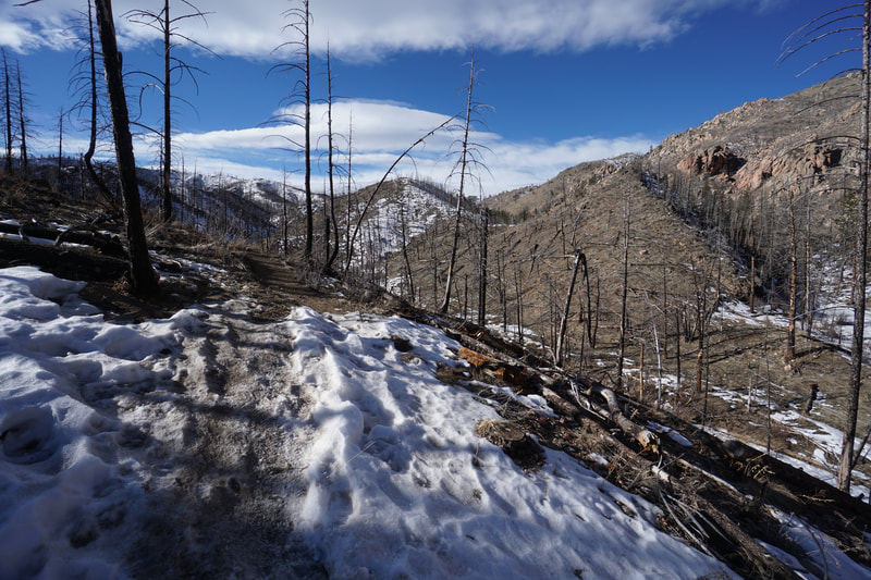
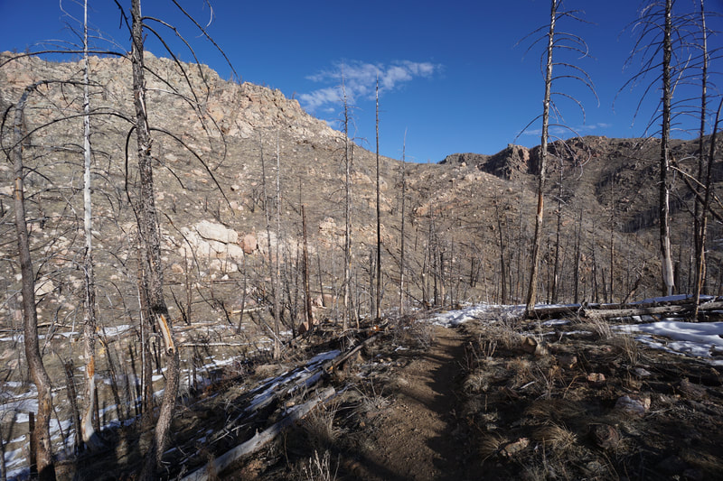
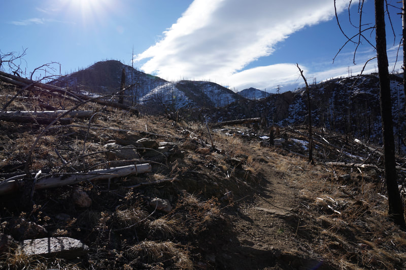
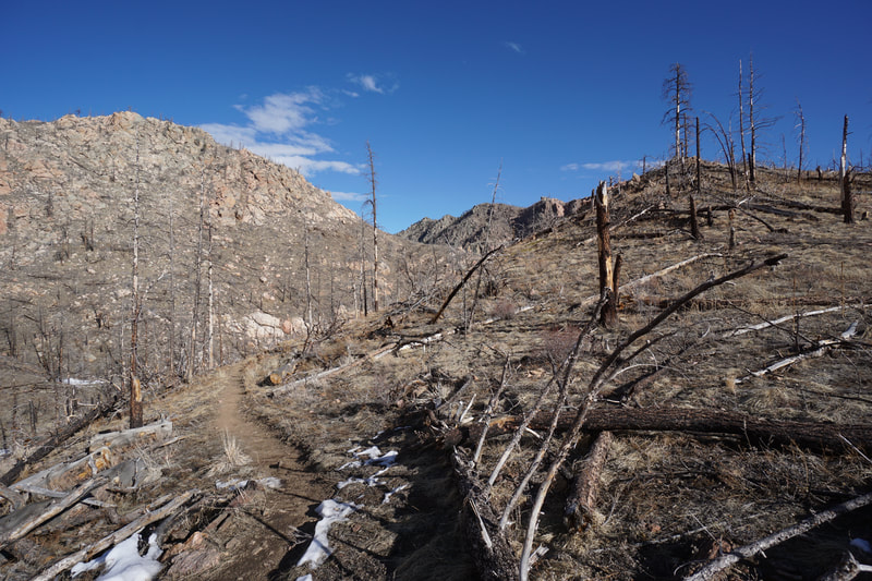
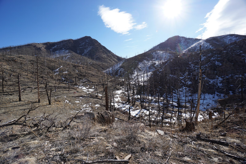
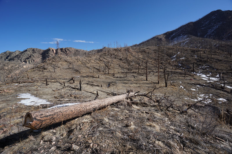
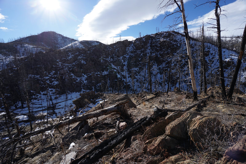
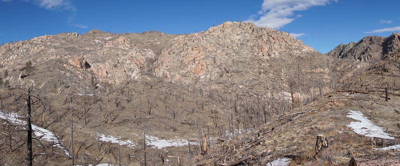
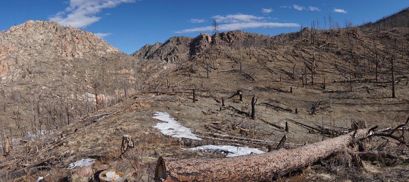
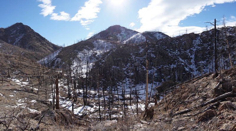
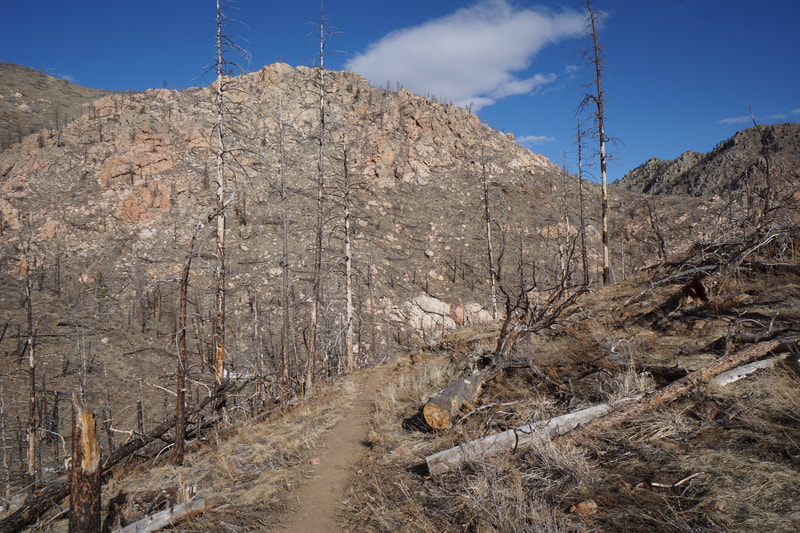
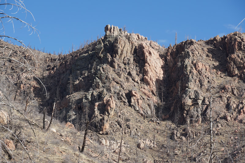
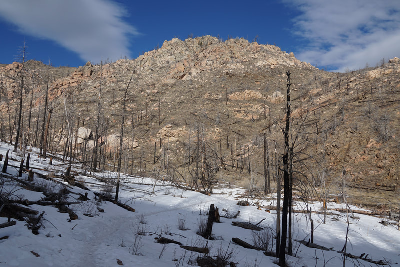
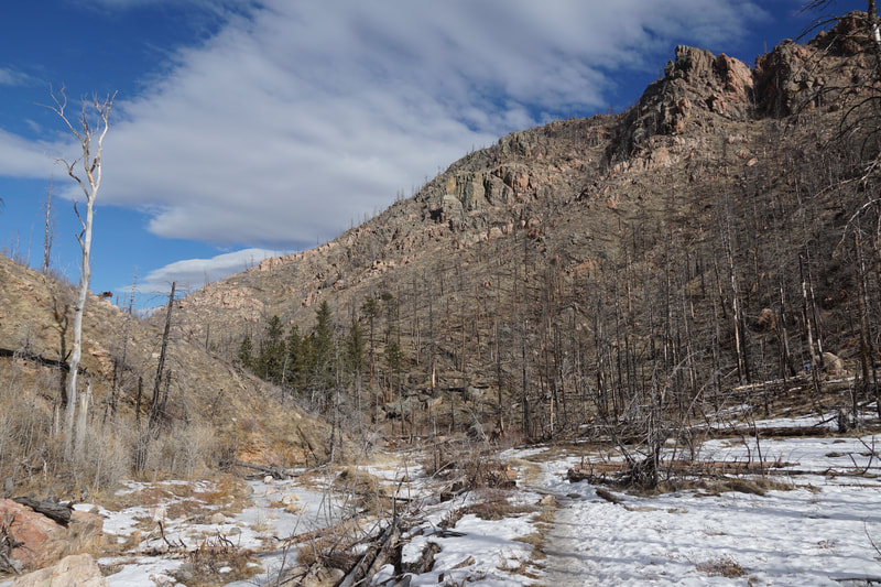
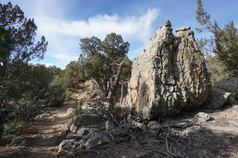
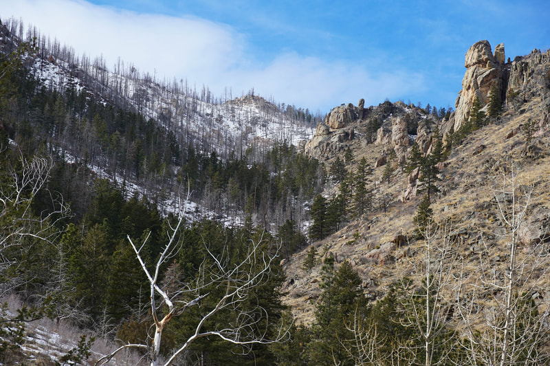
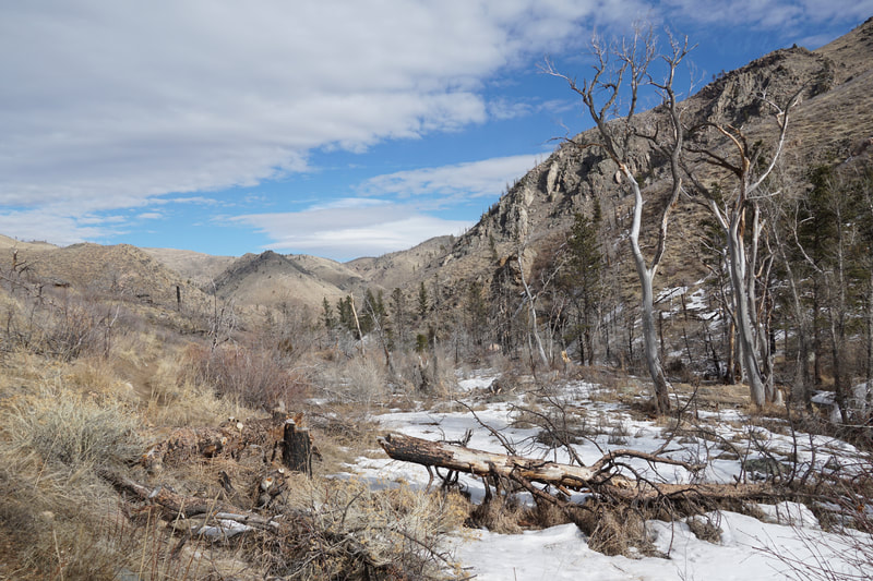
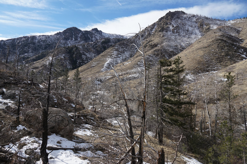
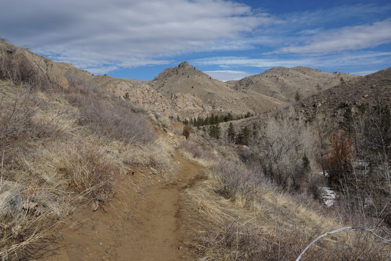
From the start, the peaks and towers of the Poudre Canyon and Young Gulch are immediately impressive. The trail skirts up a hillside before dropping down into the gulch following the creek as you go. As you reach the bottom of the narrow gulch you reach the first of many creek crossings. Newly constructed foot bridges and somewhat precarious wood beams will help with the crossings. After the first bridge the gulch opens with tremendous views of the surrounding mountains. Before long you'll enter pine forest and the gulch constricts to a narrow canyon. Cross a log bridge near a nice swimming hole and exit the narrows into a stunning burn area. This area is striking and both beautiful and desolate. Due to the fire, the underlying rock formations visible and the burnt trees, with green undergrowth provides a nice contrast, a reminder of nature's cycles. Hike through the burn area and cross a shallow creek. As you turn a corner the gulch opens up a bit and the trail ascends a hillside. At the top of the hill you are rewarded with some of the first top-down views of the hike. This is a beautiful spot with the river taking an oxbow turn providing almost 365 degree views. You can climb over a downed tree to your right and follow the short ridge for some additional views. The trail heads down towards the river and this is a good turnaround point if you don't want to hike the entire trail (which continues for another 2.5 miles one way). After a good rest and satisfying views head back the way you came. Young Gulch is a popular but not overly crowded hike. That being said, be sure to get an early start and shoot for mid-week in the summer time. If you liked the Young Gulch Trail and want to further explore Poudre Canyon be sure to check out Greyrock Mountain; Hewlett Gulch; Lower Dadd Gulch; Mt. McConnell; and the Gateway Natural Area. |
- HOME
- ABOUT
-
HIKES BY REGION
-
NATIONAL PARK HIKES
- BENT'S OLD FORT NATIONAL HISTORIC SITE
- BLACK CANYON OF THE GUNNISON NATIONAL PARK
- COLORADO NATIONAL MONUMENT
- CURECANTI NATIONAL RECREATION AREA
- DINOSAUR NATIONAL MONUMENT
- FLORISSANT FOSSIL BEDS NATIONAL MONUMENT
- MESA VERDE NATIONAL PARK
- ROCKY MOUNTAIN NATIONAL PARK
- GREAT SAND DUNES NATIONAL PARK
- HOVENWEEP NATIONAL MONUMENT
- SAND CREEK MASSACRE NATIONAL HISTORIC SITE
- YUCCA HOUSE NATIONAL MONUMENT
- HIKES BY CATEGORY
- NEWS
- WEBCAMS
- $UPPORT GHC
- INTERACTIVE MAP
Young Gulch Trail
Roosevelt National Forest
Date Hiked: January 26, 2020
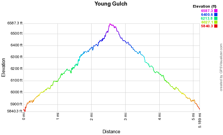
Distance: 5.2 mi (RT)
Elevation Gain: 800 ft
Elevation Min/Max: 5,840 to 6,587 ft
Trailhead Lat/Long: 40º 41' 19" N; 105º 20' 53" W
Managing Agency: U.S. Forest Service
Fee: None

