|
|
|
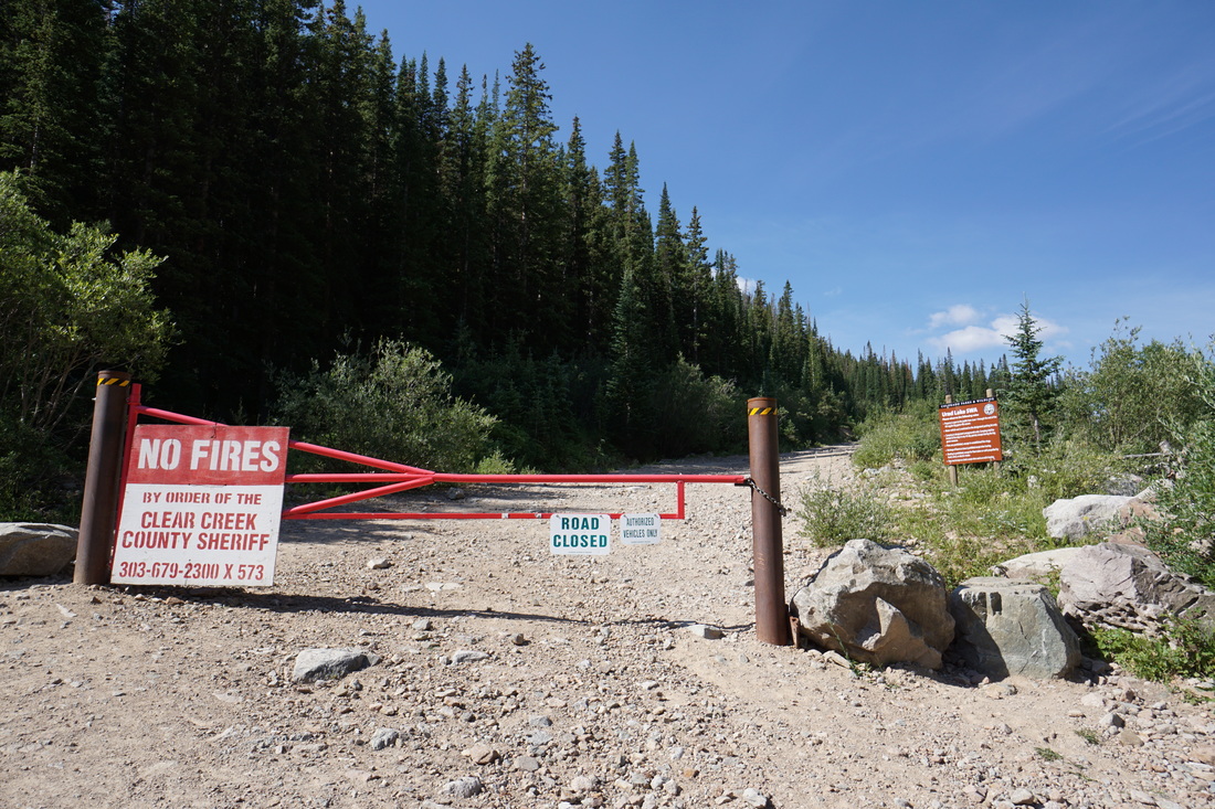
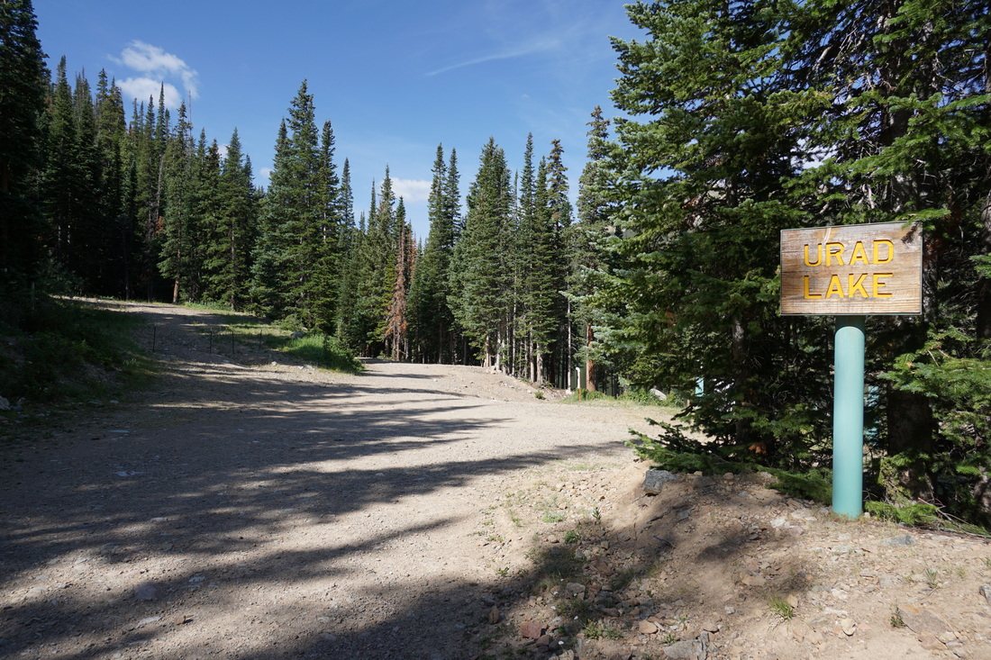
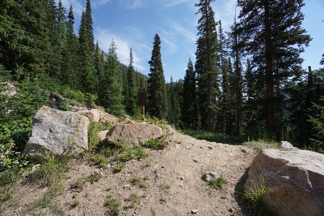
Directions: From I-70 exit and travel north on US 40 towards Berthoud Pass and Winter Park. Turn left at the Big Bend exit and pass by the picnic area. Just before the Henderson Mine you'll see a sign pointing to the left for Urad. Turn here and follow the good dirt road. At 1.5 miles on the dirt road it becomes narrow and rocky, SUV is recommend. The road ends at a gate and sign for the Urad Lake State Wildlife Area, park here.
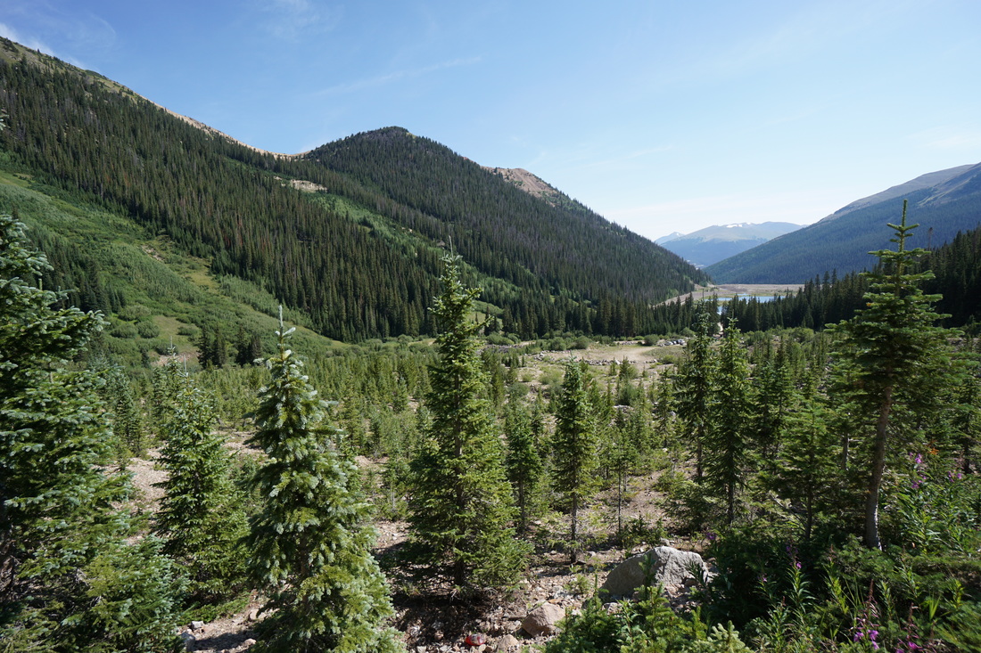
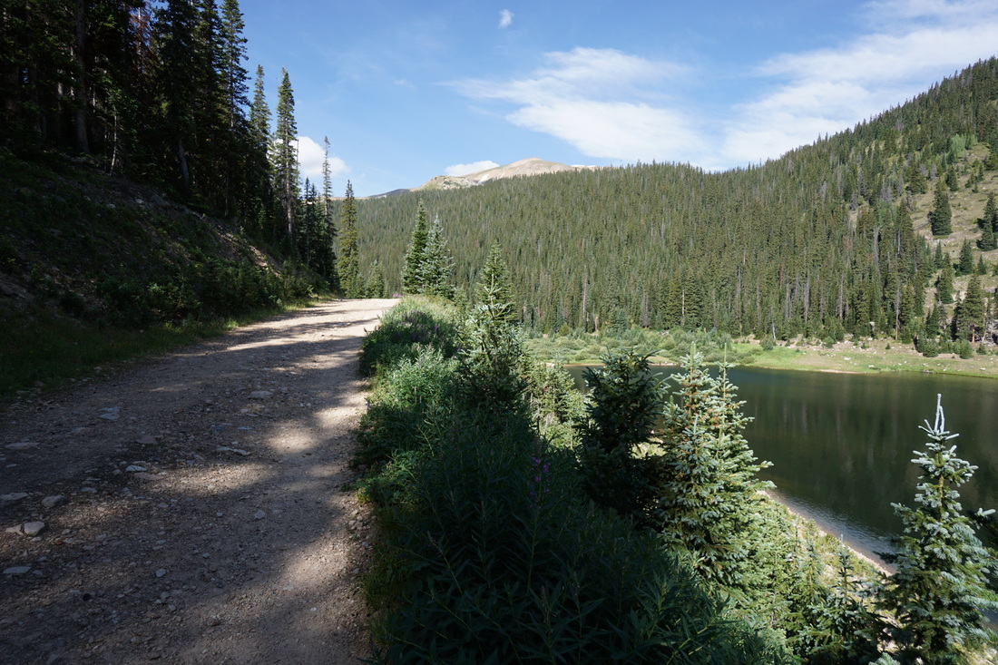
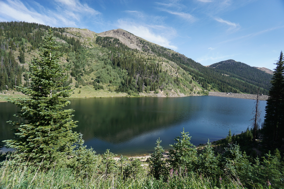
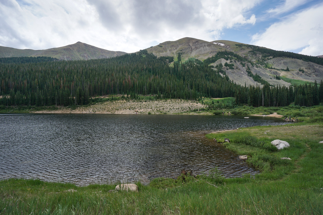
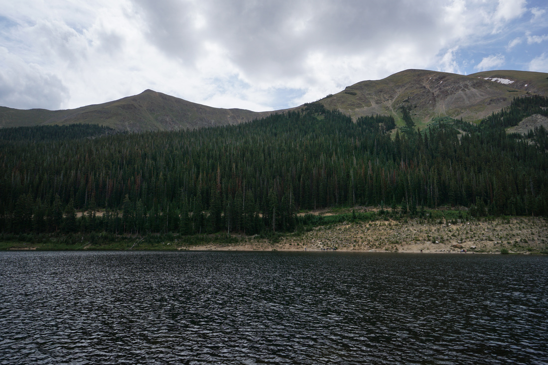
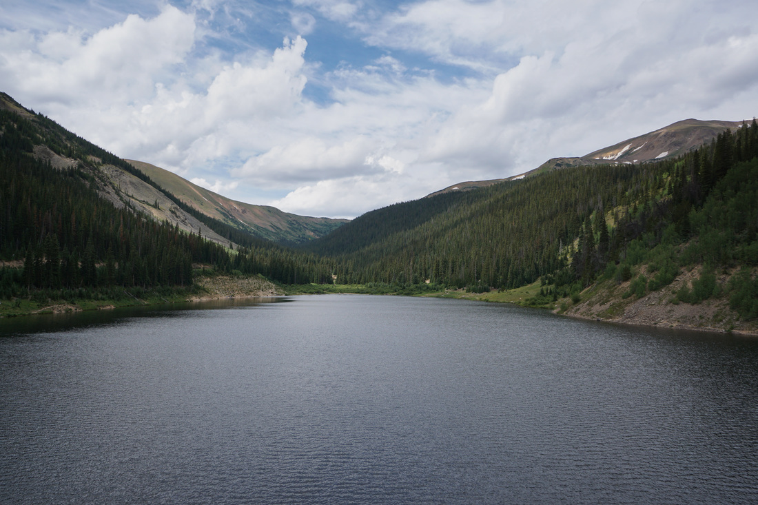
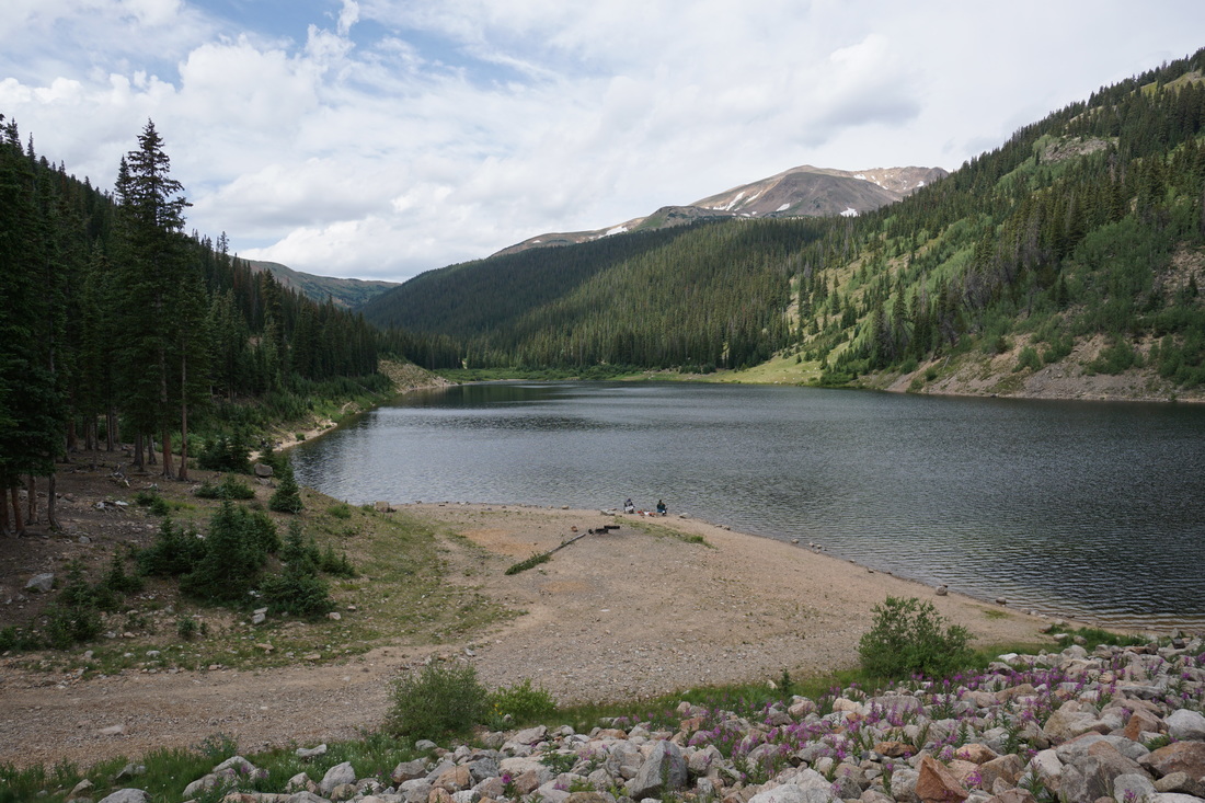
Urad Lake is a popular fishing spot just up-valley from Berthoud Pass but you can also hike along the lake shore for nice views and a scenic sub-alpine lake experience without any strenuous effort.
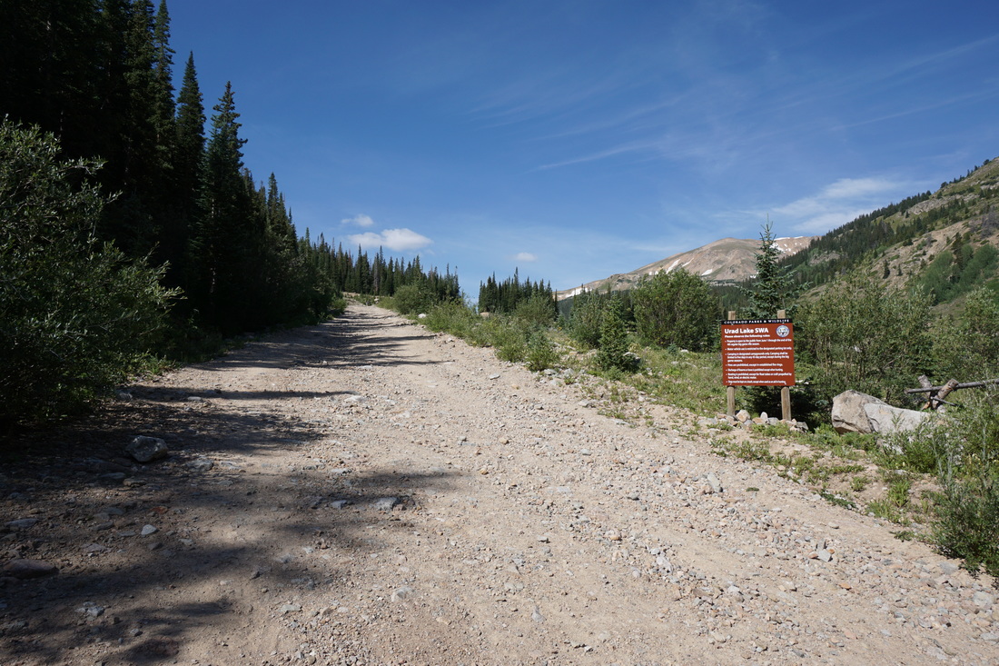
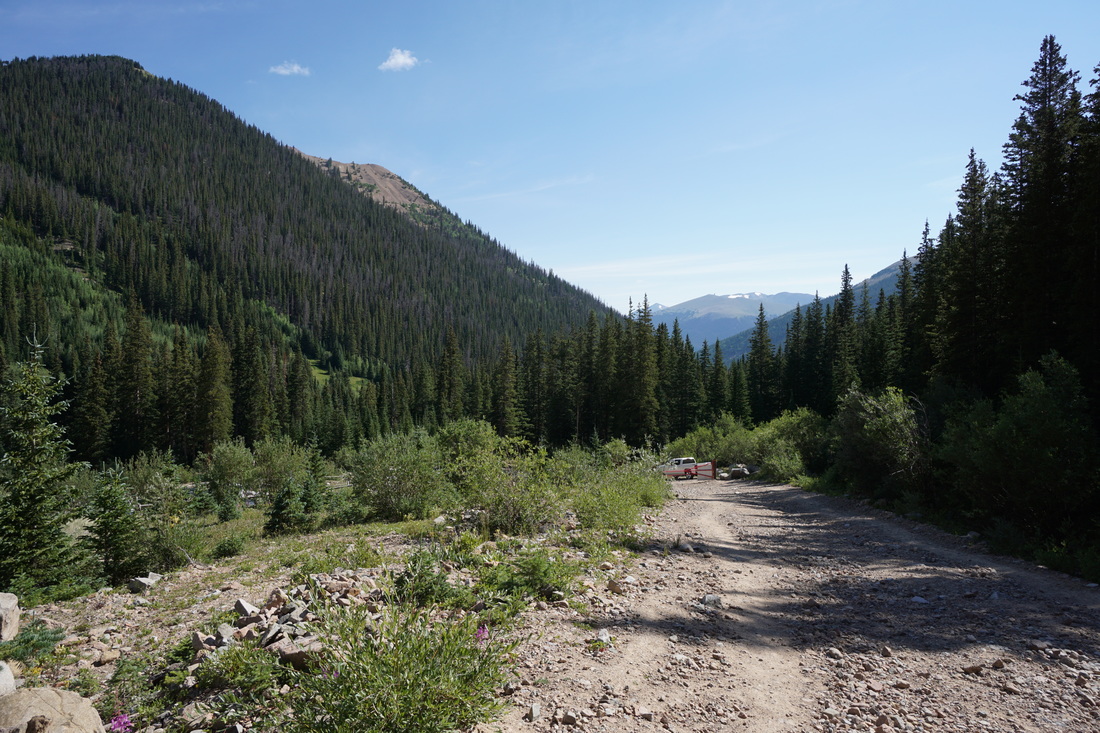
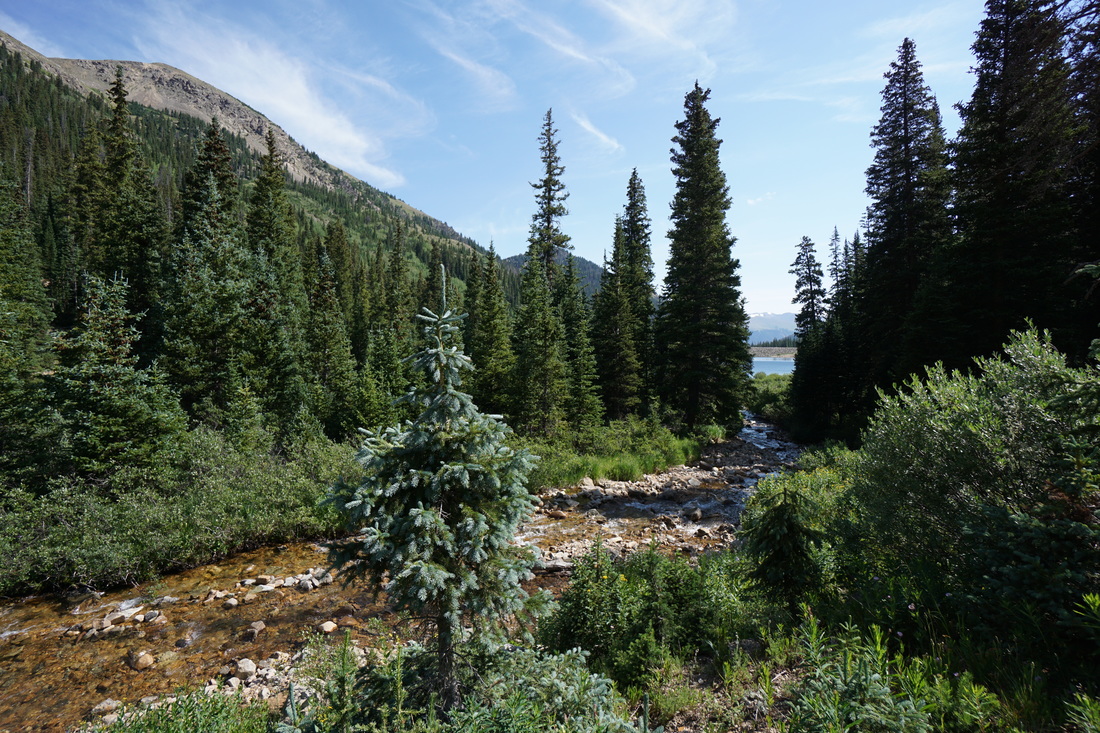
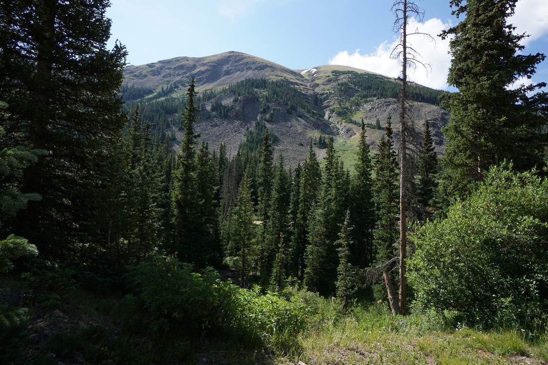
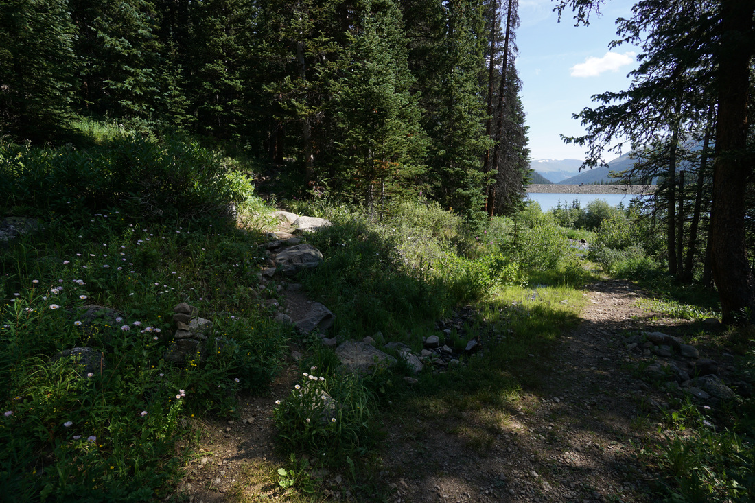
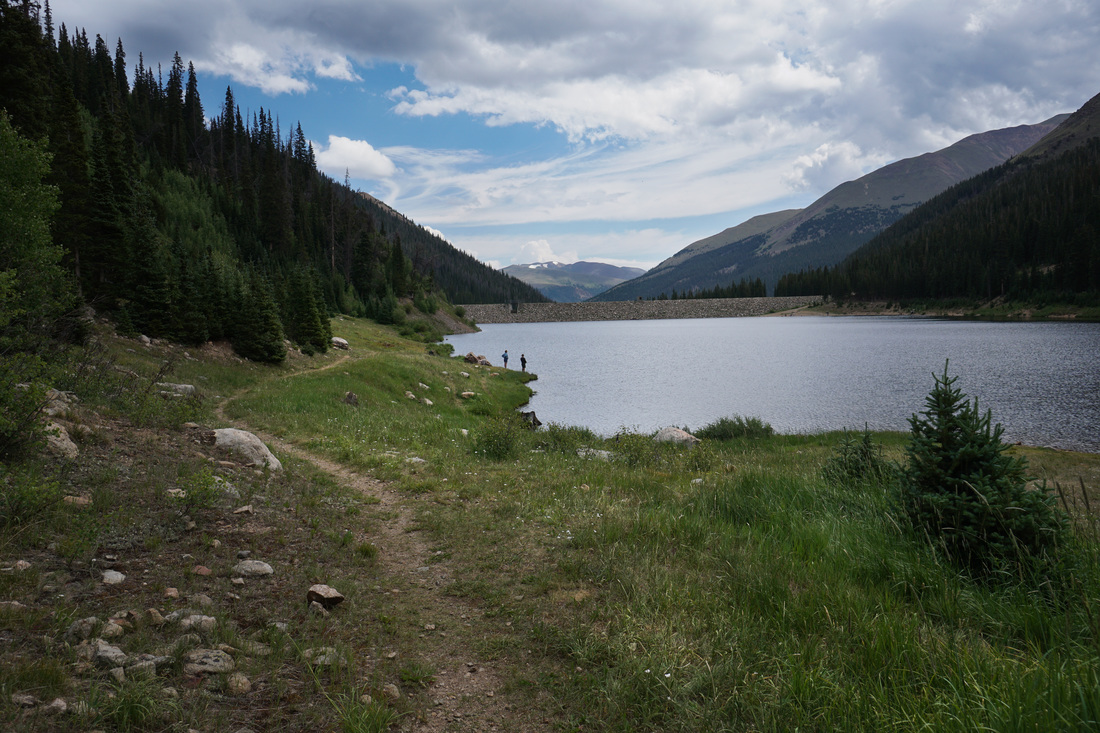
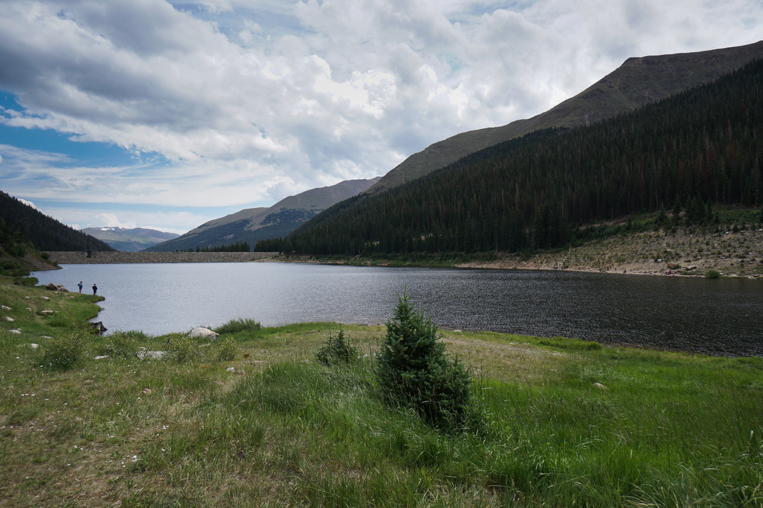
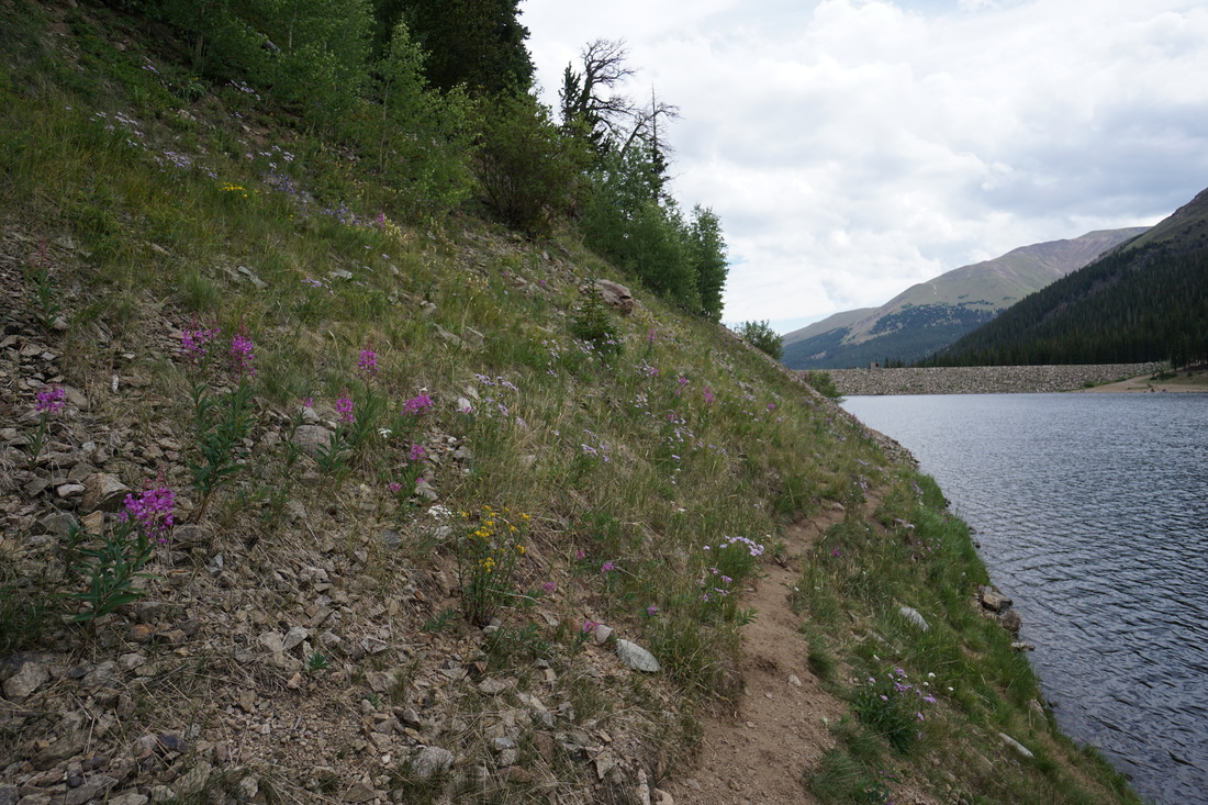
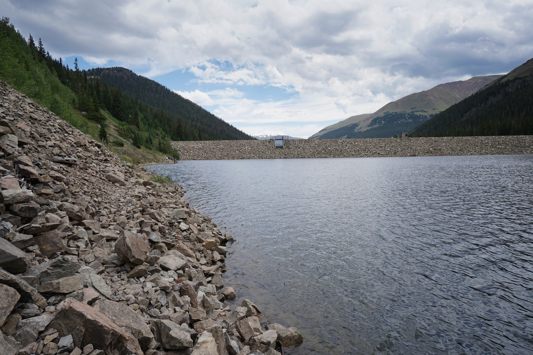
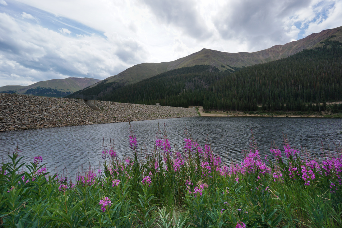
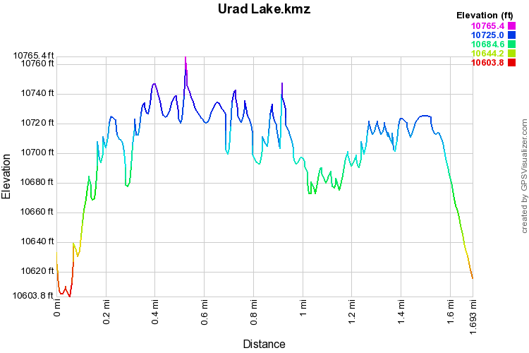
The hike is simple, consisting of a walk up and along a closed dirt road. When the lake comes into view you can either stay on the road or turn right and walk along the Dam to the far shore. On the northern shore of the lake there is a trail that follows the shoreline. The trail gets rocky and narrow at spots but is easy to follow. There is a faint trail along the south shore but you can also just walk along the road, which itself has some of the best views of the hike. If you have the time and energy, be sure to hike the short but steep trail up to Hassell Lake. |
|