|
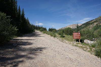
Directions: From I-70 exit and travel north on US 40 towards Berthoud Pass and Winter Park. Turn left at the Big Bend exit and pass by the picnic area. Just before the Henderson Mine you'll see a sign pointing to the left for Urad. Turn here and follow the good dirt road. At 1.5 miles on the dirt road it becomes narrow and rocky, SUV is recommend. The road ends at a gate and sign for the Urad Lake State Wildlife Area, park here.
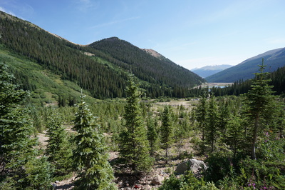
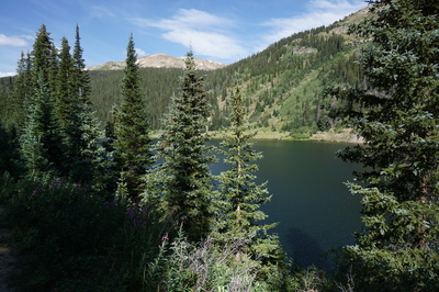
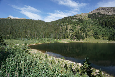
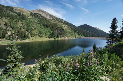
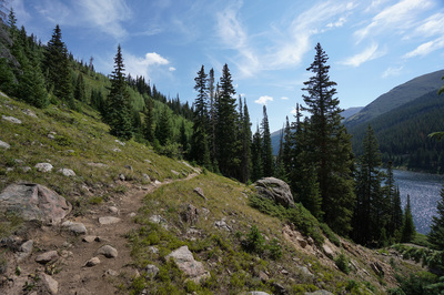
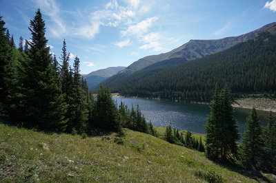
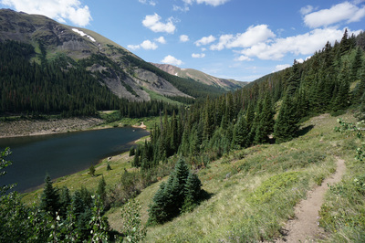
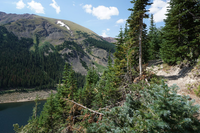
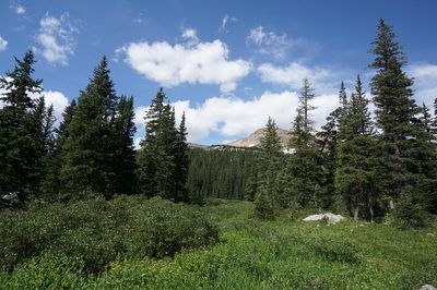
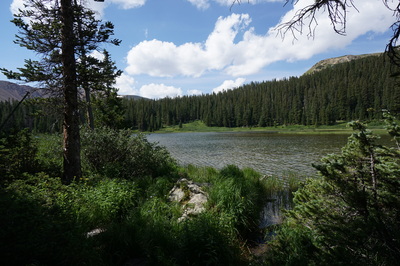
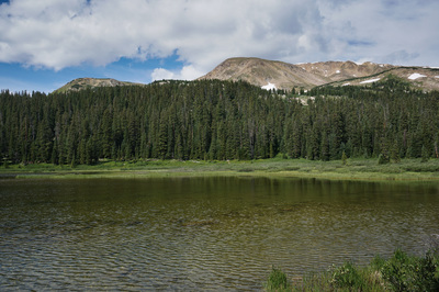
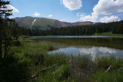
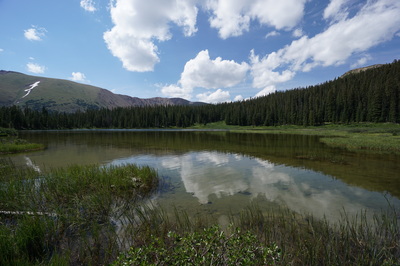
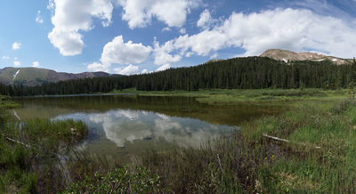
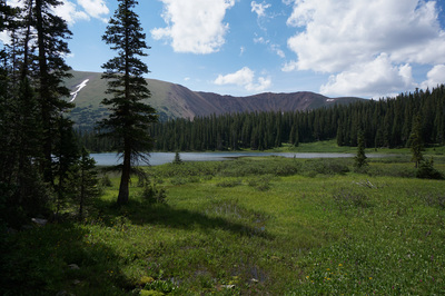
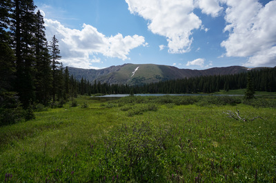
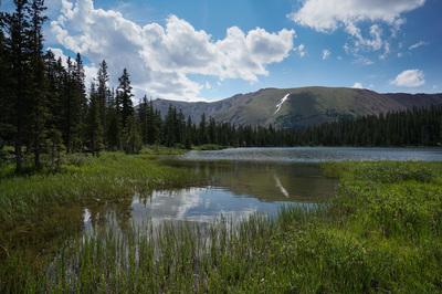
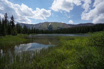
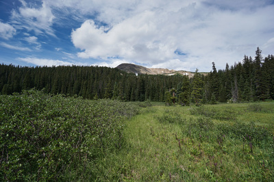
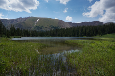
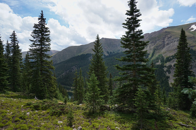
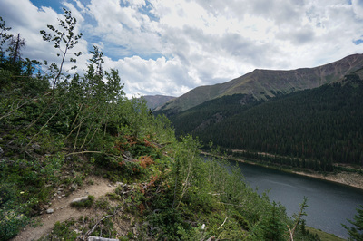
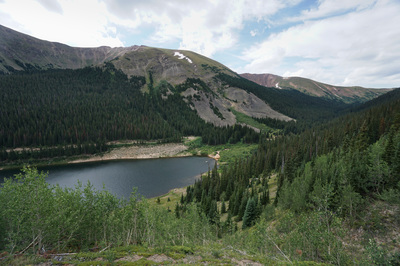
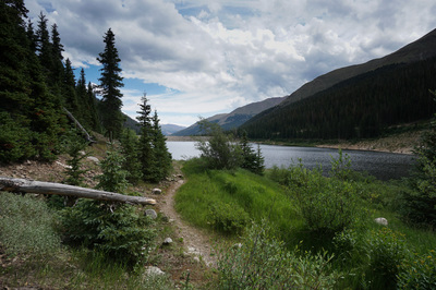
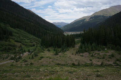
Hassell Lake is a scenic sub-alpine lake nested on a forested ledge about 800 ft above Urad Lake. The lake is surrounded by wetlands and willows and is a great spot to camp or fish. The hike up from Urad lake is short but steep with wonderful views down valley towards Berthoud Pass.
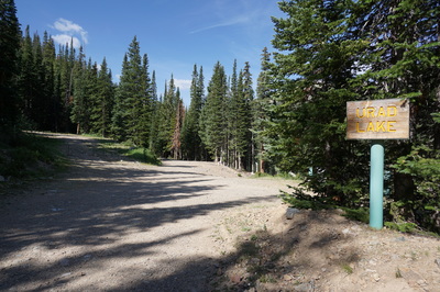
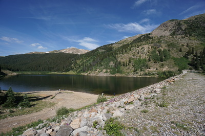
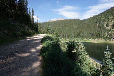
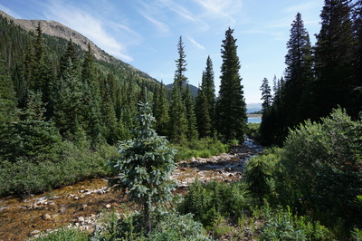
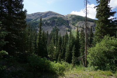
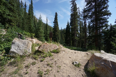
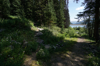
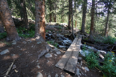
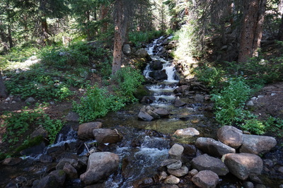
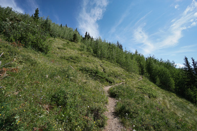
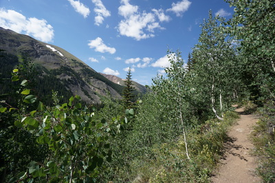
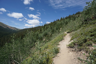
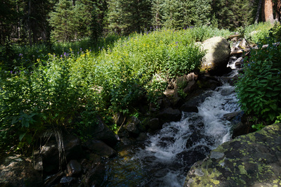
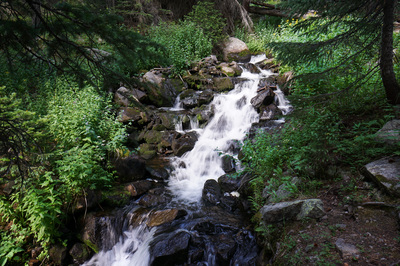
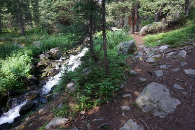
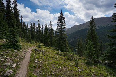
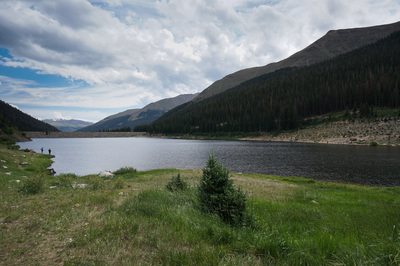
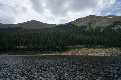
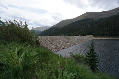
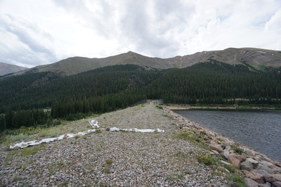
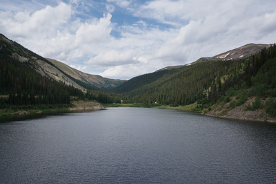
From the Urad Lake Parking area the trail starts off by following the rocky dirt road along the southern shore of Urad Lake. The road curves around the far end of the lake and cuts back east for a few yards. Once you see a berm with a small sign that states "trail" the Hassell Lake trail begins. The trail starts out moderately along the open slopes and weaving through young Aspen groves. The trail then gets much steeper, but the steepness does not last too long. Once you enter the pine forest you'll follow a cascading creek up to the lake. Once you start seeing the wetlands, you've arrived. The official trail takes you to a nice campsite with an open view of the lake, but there are many other areas to explore. To hike around the entirety of the lake requires some bushwhacking but you can find many different spots to relax along the shore. The hike down is the same route, but this time, once you reach Urad Lake, you can turn left and follow the northern shore back (over the dam) to the road for a little variety. |
- HOME
- ABOUT
-
HIKES BY REGION
-
NATIONAL PARK HIKES
- BENT'S OLD FORT NATIONAL HISTORIC SITE
- BLACK CANYON OF THE GUNNISON NATIONAL PARK
- COLORADO NATIONAL MONUMENT
- CURECANTI NATIONAL RECREATION AREA
- DINOSAUR NATIONAL MONUMENT
- FLORISSANT FOSSIL BEDS NATIONAL MONUMENT
- MESA VERDE NATIONAL PARK
- ROCKY MOUNTAIN NATIONAL PARK
- GREAT SAND DUNES NATIONAL PARK
- HOVENWEEP NATIONAL MONUMENT
- SAND CREEK MASSACRE NATIONAL HISTORIC SITE
- YUCCA HOUSE NATIONAL MONUMENT
- HIKES BY CATEGORY
- NEWS
- WEBCAMS
- $UPPORT GHC
- INTERACTIVE MAP
Hassell Lake
Arapaho National Forest
Date Hiked: July 31, 2016
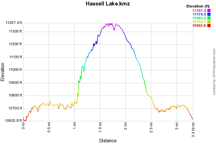
Distance: 3.3 mi (RT);
Elevation Gain: 995 ft
Elevation Min/Max: 10,604 to 11,367 ft
Trailhead Lat/Long: 39º 44' 45" N; 105º 50' 34" W
Managing Agency: U.S. Forest Service
Fee: None

