|
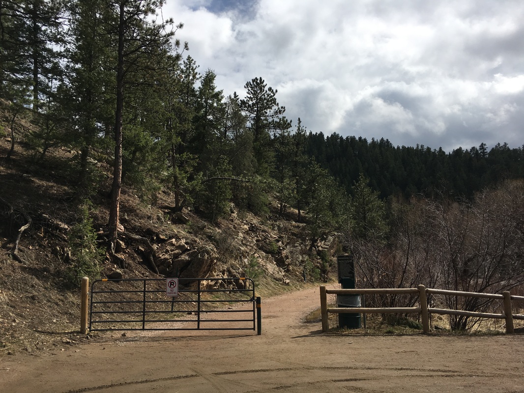
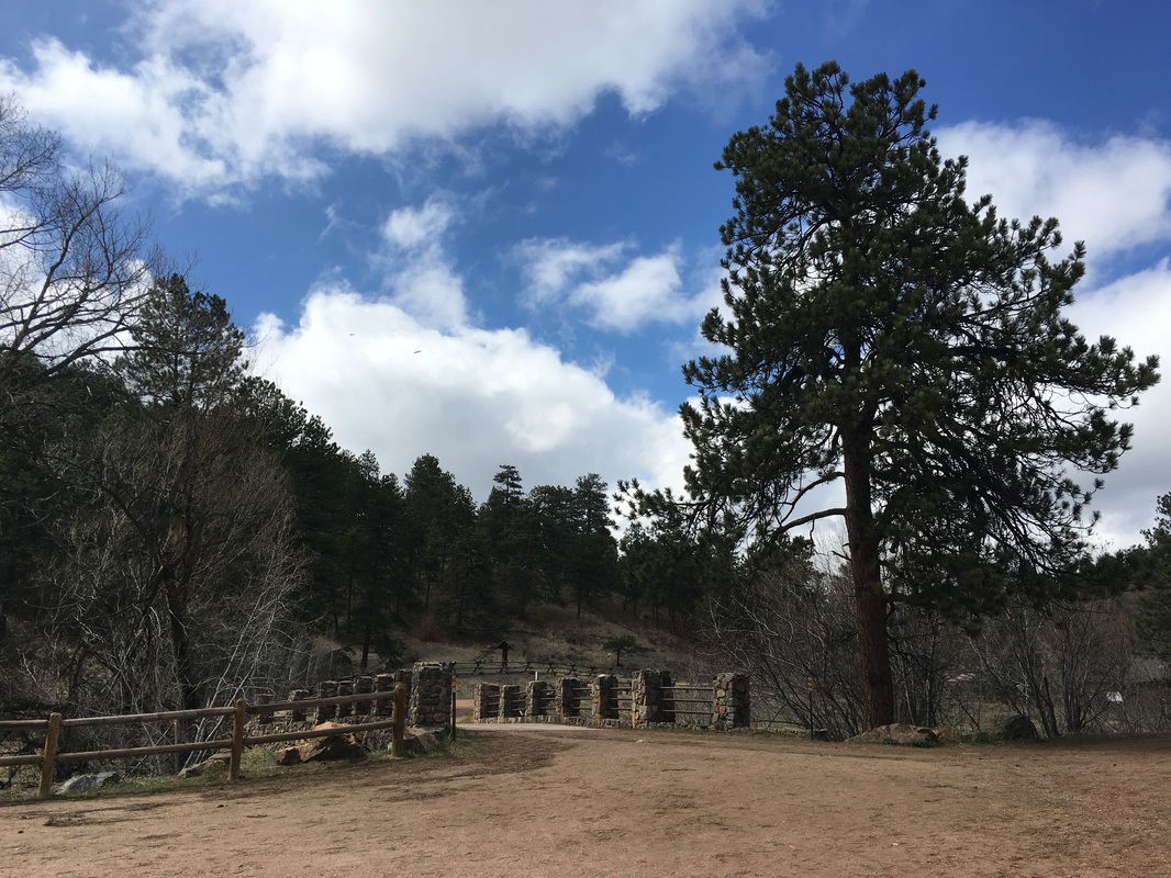
Directions: From Morrison, continue west on Route 74 (Bear Creek Rd) through the town of Idledale and past Lair of the Bear Park. Turn left (south) into the 1st parking are for O'Fallon Park. At the south end of the parking lot is a gate. The hike starts here.
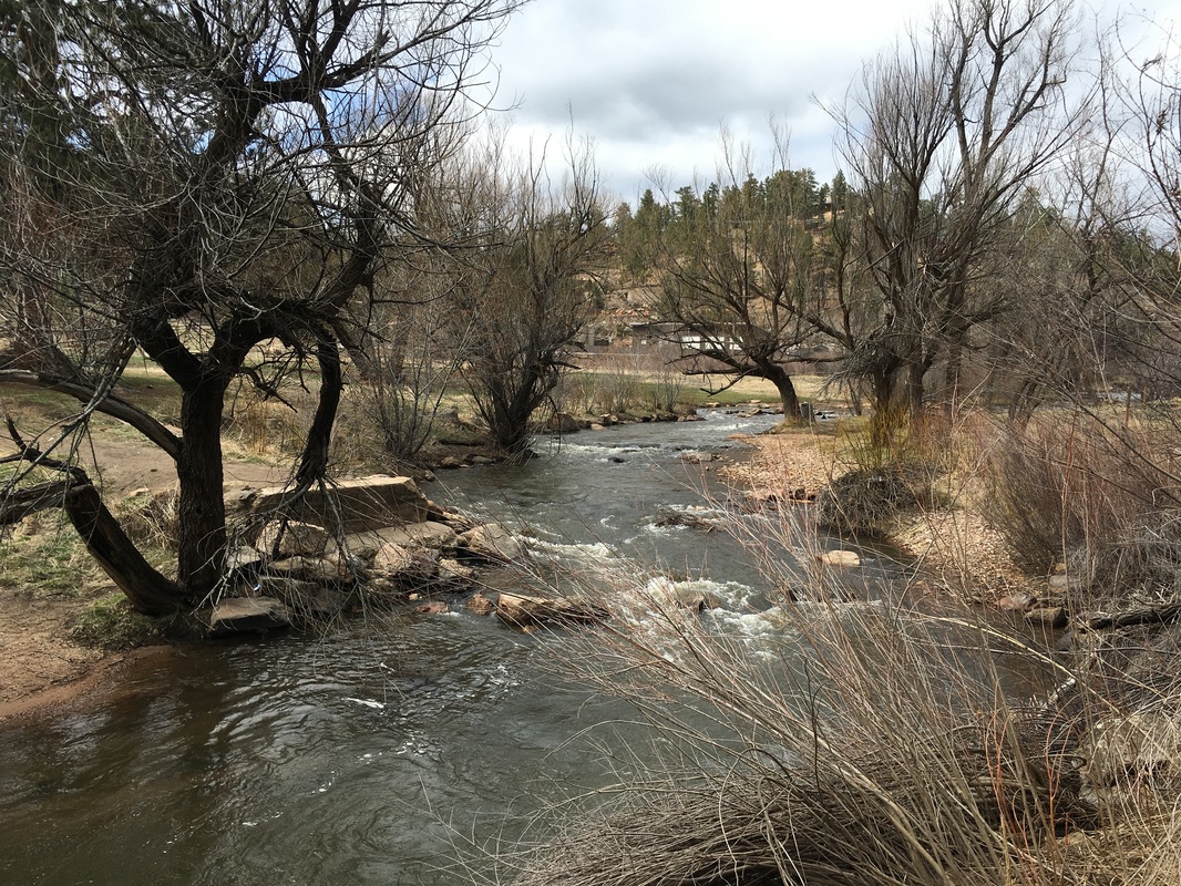
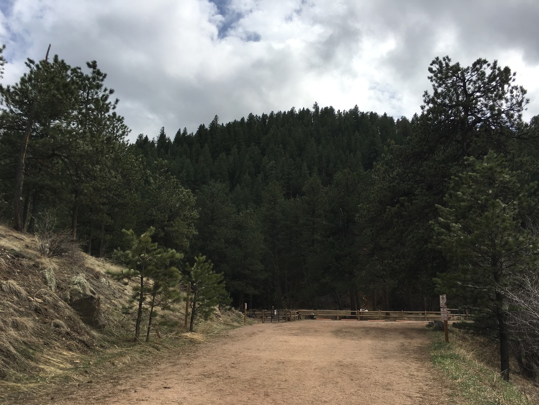
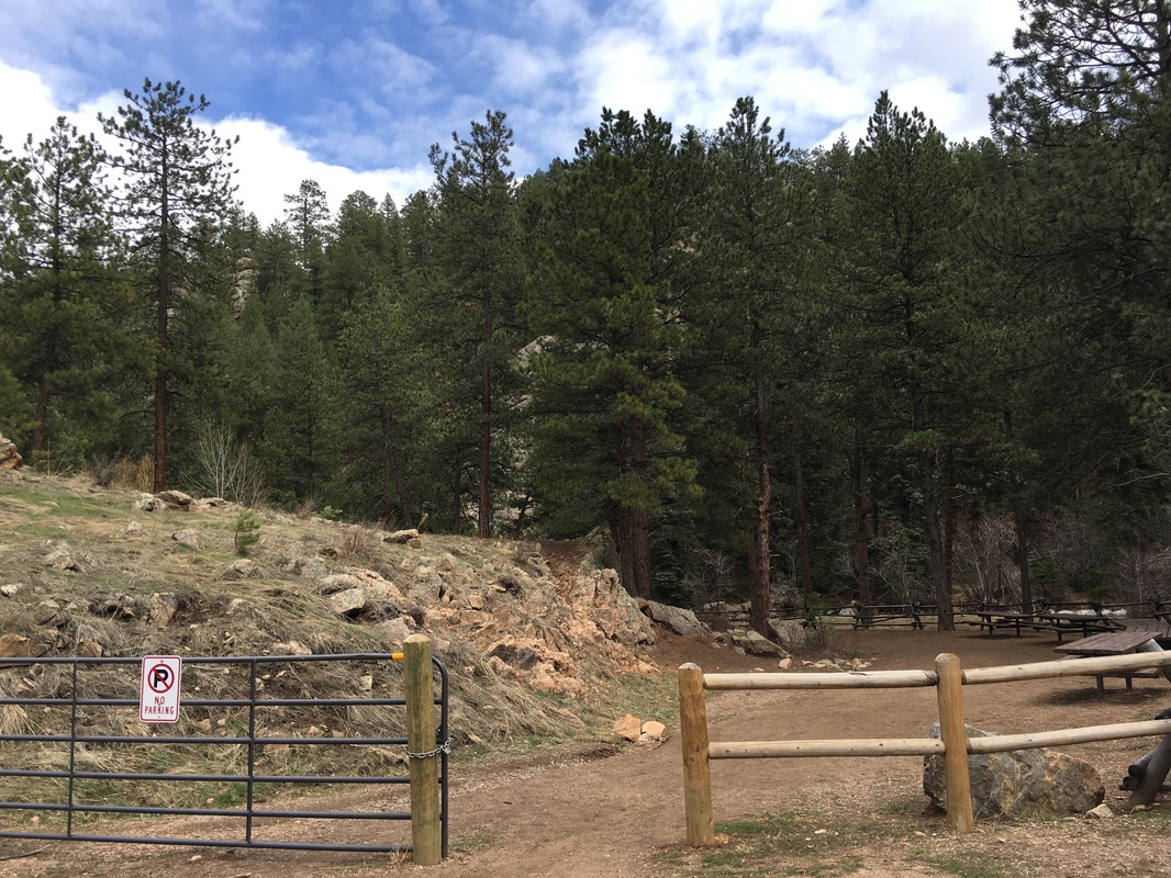
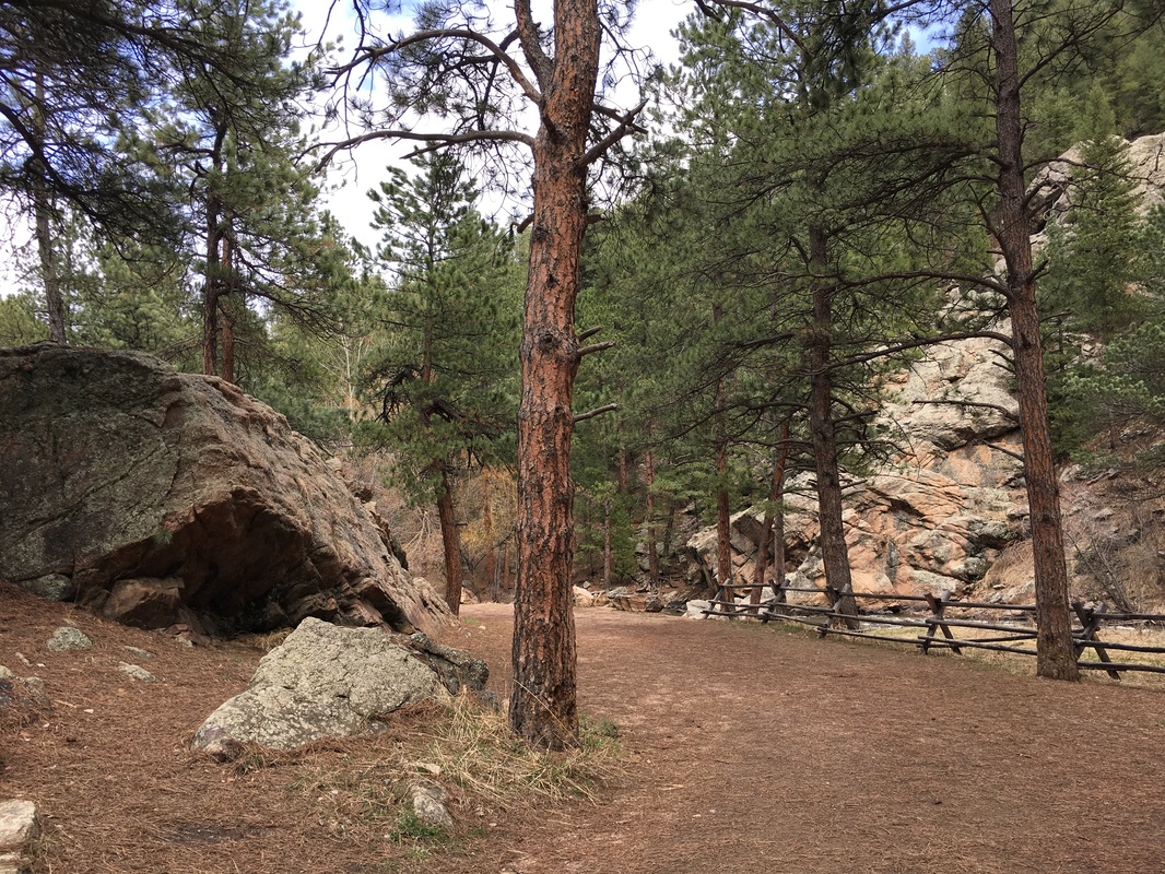
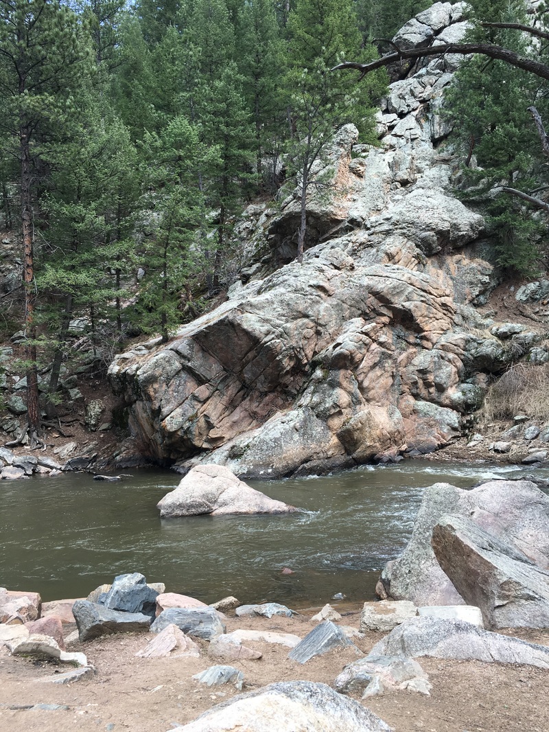
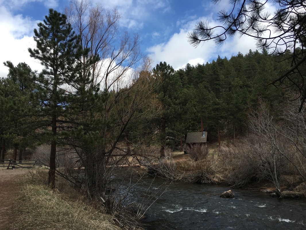
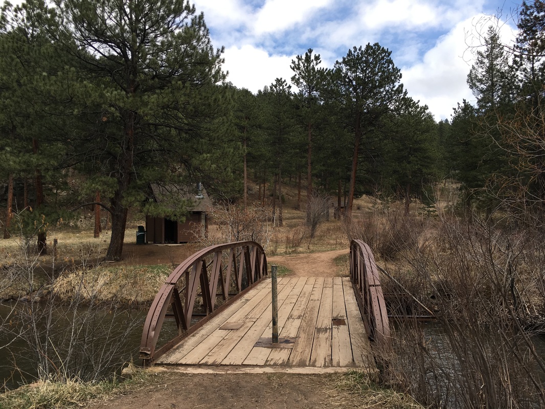
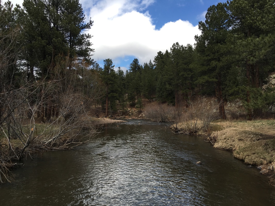
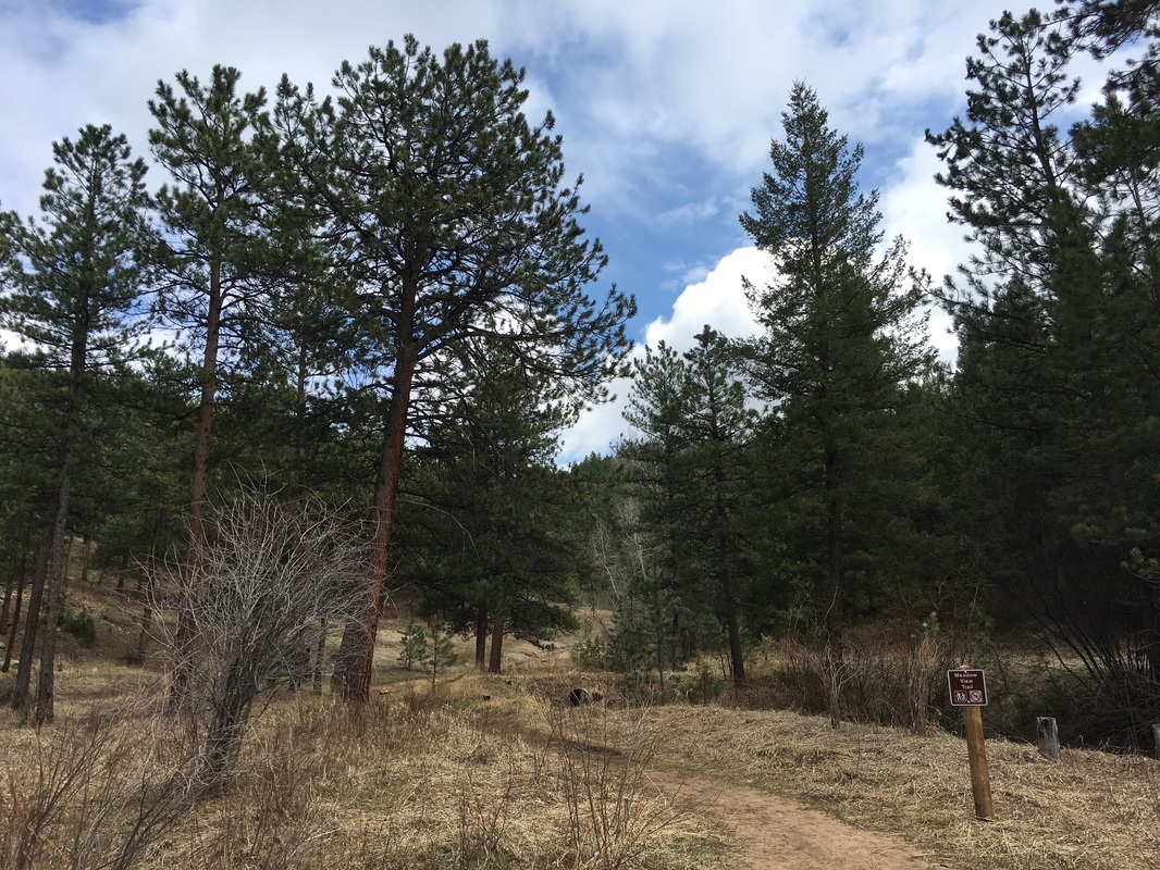
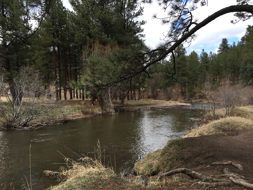
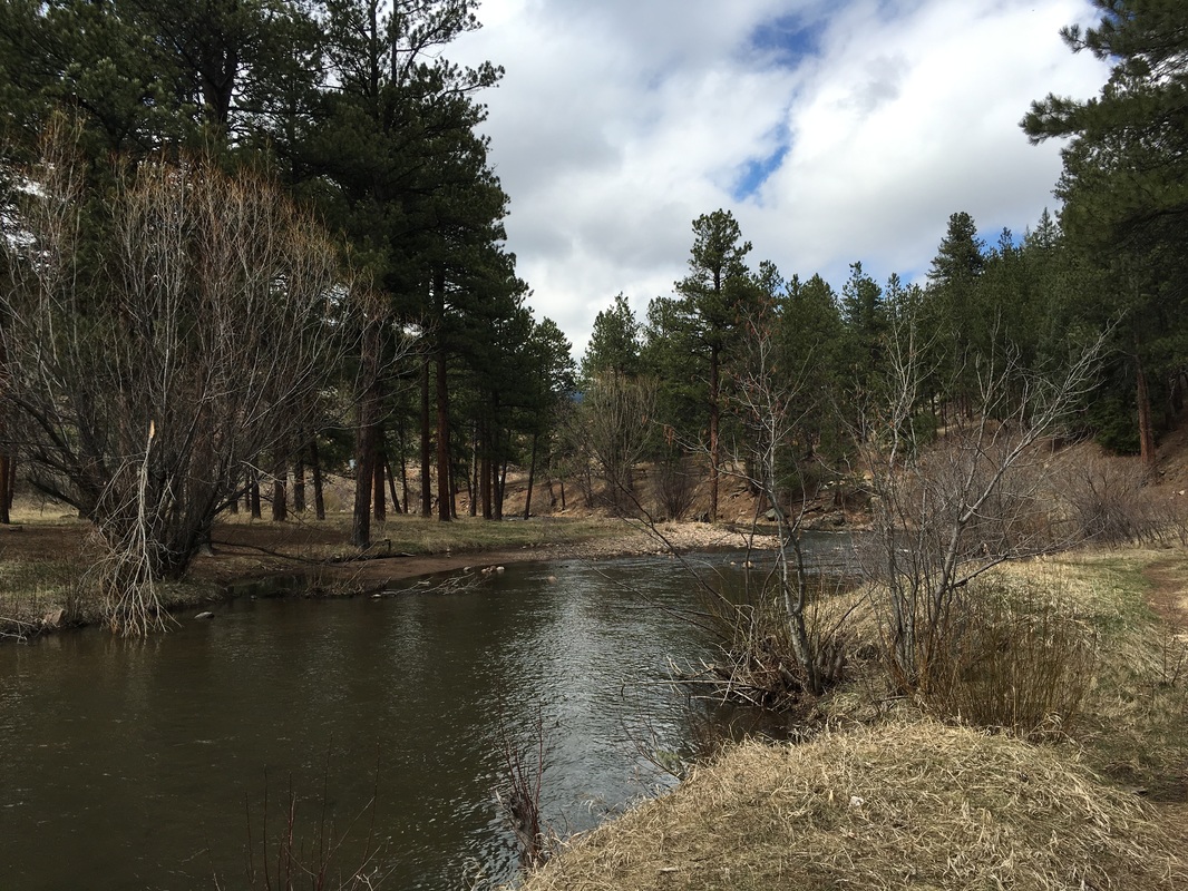
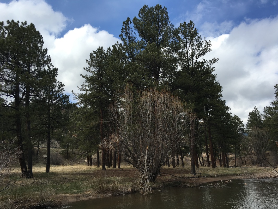
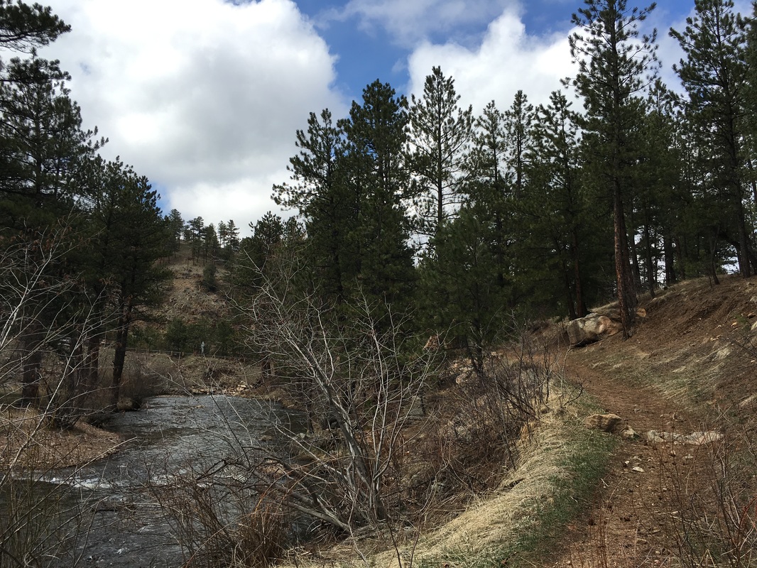
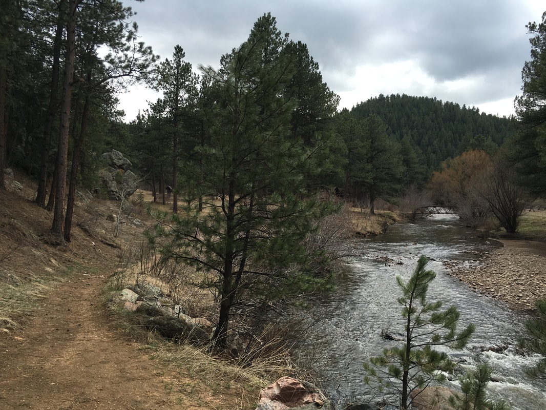
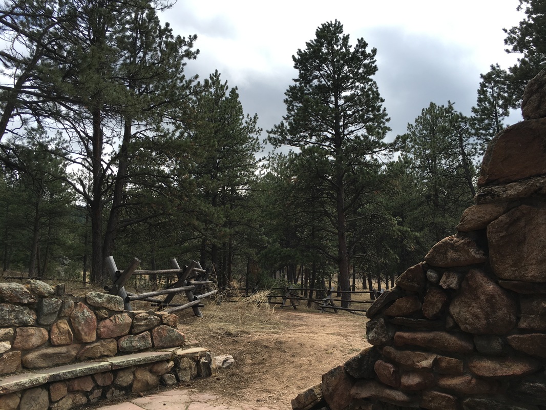
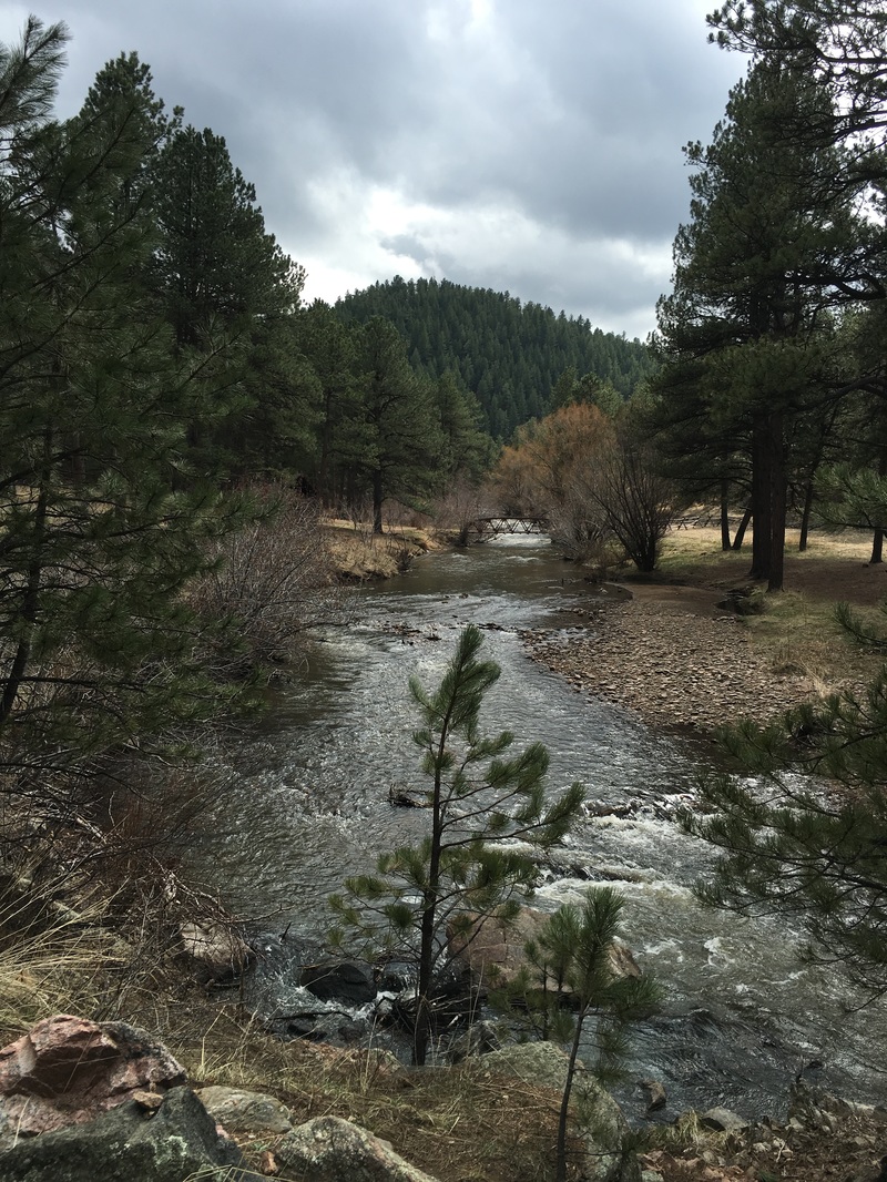
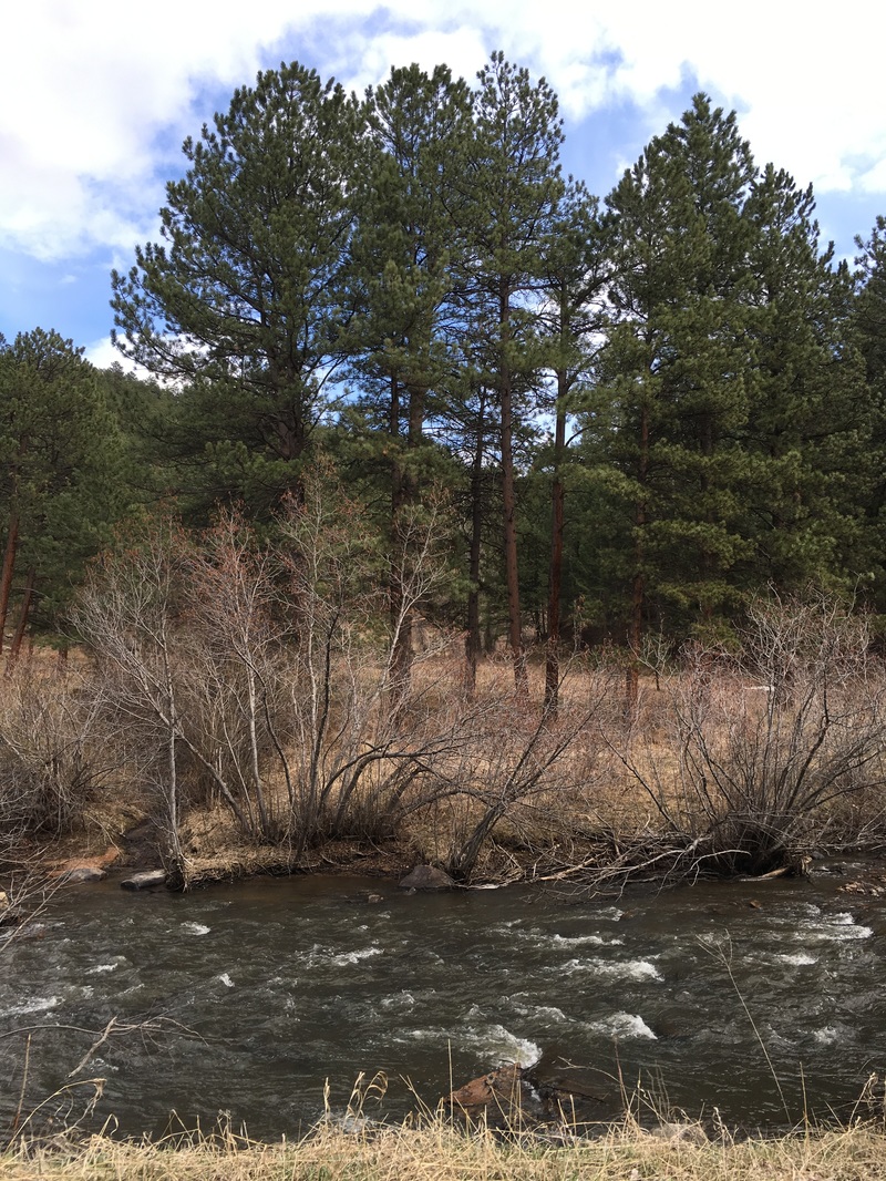
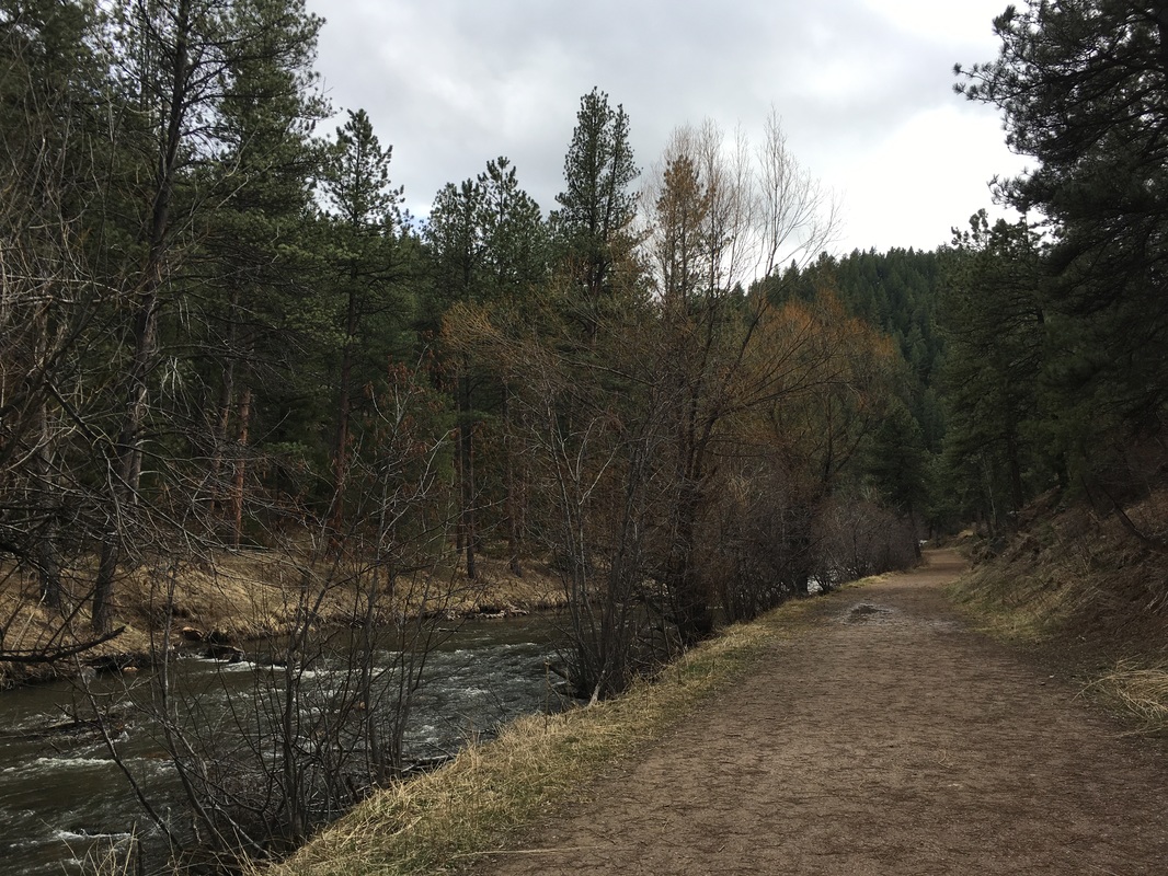
This short, easy hike, is great for kids. The hike starts on the wide dirt road of O'Fallon Park and through the scenic creek-side picnic area. After the picnic area, follow the road to the north along Bear Creek. This is a very scenic spot with high cliff walls and rambling water. At the end of the road is a footbridge that takes you to the start of the Meadow View Trail.
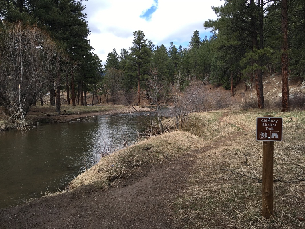
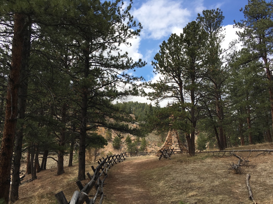
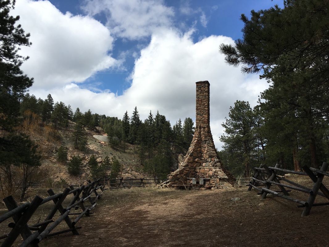
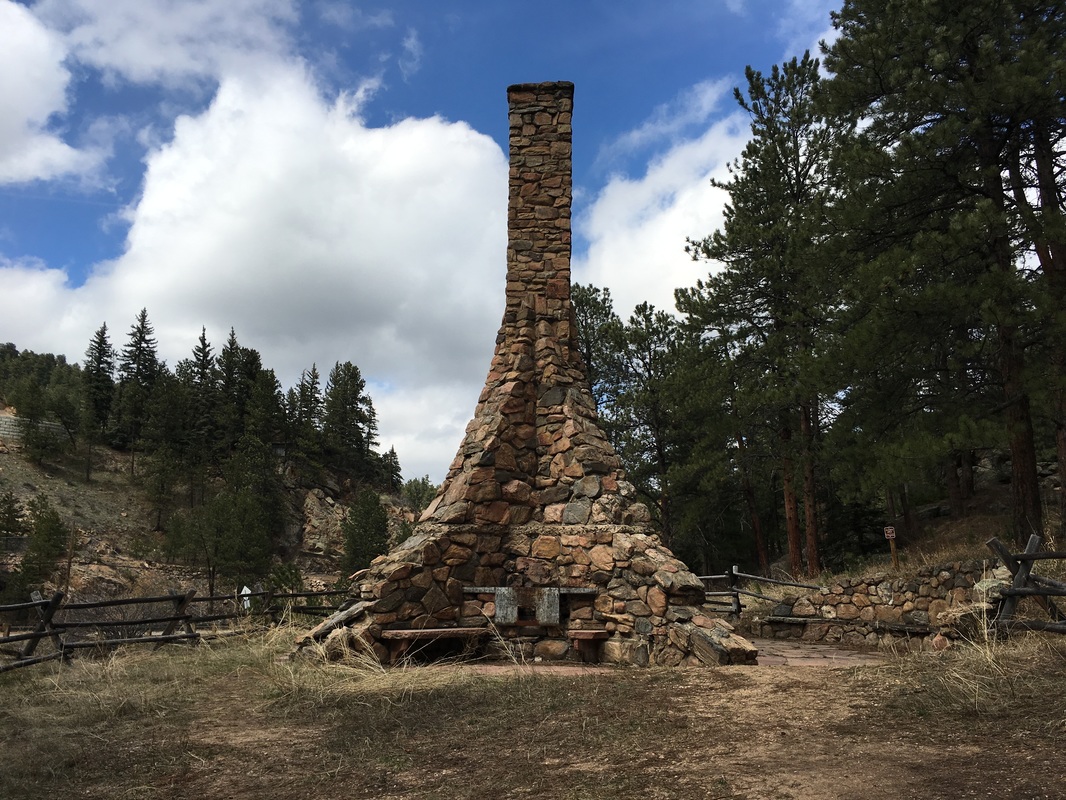
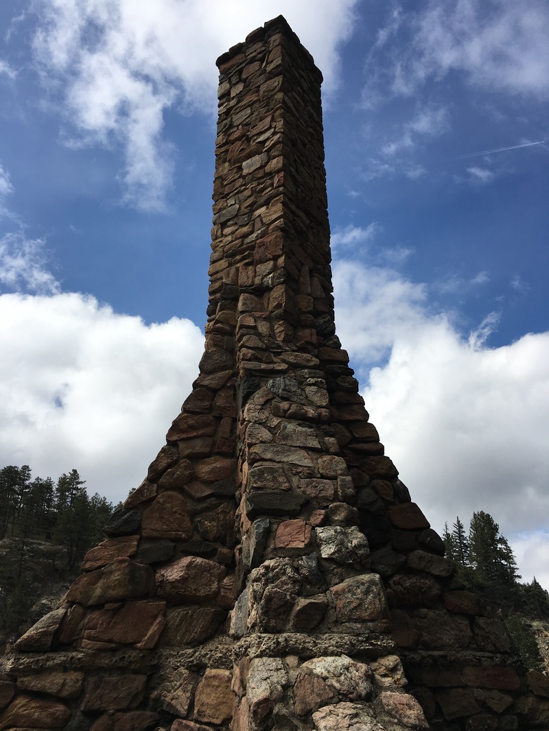
To the left (east) is the trail to the Stone Chimney. The short single track trail leads to a historic 4 sided chimney that looks like it still gets a fair bit of use. This makes for a nice spot to relax and take in the forest and creek. Return the way you came or explore the parks many miles of hiking trails. |
|
- HOME
- ABOUT
-
HIKES BY REGION
-
NATIONAL PARK HIKES
- BENT'S OLD FORT NATIONAL HISTORIC SITE
- BLACK CANYON OF THE GUNNISON NATIONAL PARK
- COLORADO NATIONAL MONUMENT
- CURECANTI NATIONAL RECREATION AREA
- DINOSAUR NATIONAL MONUMENT
- FLORISSANT FOSSIL BEDS NATIONAL MONUMENT
- MESA VERDE NATIONAL PARK
- ROCKY MOUNTAIN NATIONAL PARK
- GREAT SAND DUNES NATIONAL PARK
- HOVENWEEP NATIONAL MONUMENT
- SAND CREEK MASSACRE NATIONAL HISTORIC SITE
- YUCCA HOUSE NATIONAL MONUMENT
- HIKES BY CATEGORY
- NEWS
- WEBCAMS
- $UPPORT GHC
- INTERACTIVE MAP
Stone Chimney Trail
O'Fallon Park
Date Hiked: April 11, 2016
Distance: .8 mi (RT)
Elevation Gain: 200ft
Elevation Min/Max: 6,741 to 6,848 ft
Trailhead Lat/Long: 39º 39' 20" N; 105º 17' 15" W
Managing Agency: Denver Mountain Parks
Fee: None