GO HIKE COLORADO
Get in Touch:
  • HOME
  • ABOUT
  • HIKES BY REGION
    • DENVER AREA >
      • Denver Mountain Parks
      • Jefferson County Open Space
      • Lakewood Parks
      • Denver Area Greenways
    • BOULDER AREA
    • DOUGLAS COUNTY
    • FORT COLLINS AREA
    • COLORADO SPRINGS AREA
    • FRONT RANGE
    • TENMILE & MOSQUITO RANGES
    • GORE RANGE
    • SANGRE DE CRISTO MOUNTAINS
    • PARK RANGE
    • SAWATCH RANGE
    • ELK MOUNTAINS
    • SAN JUAN MOUNTAINS
    • THE FLAT TOPS
    • GRAND MESA
    • COLORADO PLATEAU
    • EASTERN PLAINS
  • NATIONAL PARK HIKES
    • BENT'S OLD FORT NATIONAL HISTORIC SITE
    • BLACK CANYON OF THE GUNNISON NATIONAL PARK
    • COLORADO NATIONAL MONUMENT
    • CURECANTI NATIONAL RECREATION AREA
    • DINOSAUR NATIONAL MONUMENT
    • FLORISSANT FOSSIL BEDS NATIONAL MONUMENT
    • MESA VERDE NATIONAL PARK
    • ROCKY MOUNTAIN NATIONAL PARK
    • GREAT SAND DUNES NATIONAL PARK
    • HOVENWEEP NATIONAL MONUMENT
    • SAND CREEK MASSACRE NATIONAL HISTORIC SITE
    • YUCCA HOUSE NATIONAL MONUMENT
  • HIKES BY CATEGORY
    • HIKES TO ALPINE LAKES
    • HIKES TO PEAKS & PASSES
    • HIKES THROUGH CANYONS
    • HIKES WITH FALL COLORS
    • HIKES ALONG THE I-70 CORRIDOR
    • HIKES ON PAVED TRAILS
    • HIKES FOR KIDS
    • HIKES TO WATERFALLS
    • HIKES ALONG RIVERS
    • HIKES WITH ROCK FORMATIONS
    • HIKES WITH WILDFLOWERS
    • WINTER HIKES
  • NEWS
  • WEBCAMS
  • $UPPORT GHC
  • INTERACTIVE MAP

Picnic & Meadow View Loop
O'Fallon Park

NOTE (7/27/2016): DUE TO RECENT CONSTRUCTION DISTANCE & ELEVATION GAIN MAY NOT BE ACCURATE - CHECK BACK FOR UPDATED TRAIL DESCRIPTION ​

Distance: 3.36 mi (RT)
Elevation Gain: 637 ft
Elevation Min/Max: 6,770 to 7,407ft
Trailhead Lat/Long: 39.655126 N; 288328 W
Managing Agency: Denver Mountain Parks
Fee: None

O'Fallon Park Map
Picture

Please note that in 2016 the park has undergone some changes to the trail system, for instance, the Picnic Loop no longer exists.  Please check back for an update to this hike description.
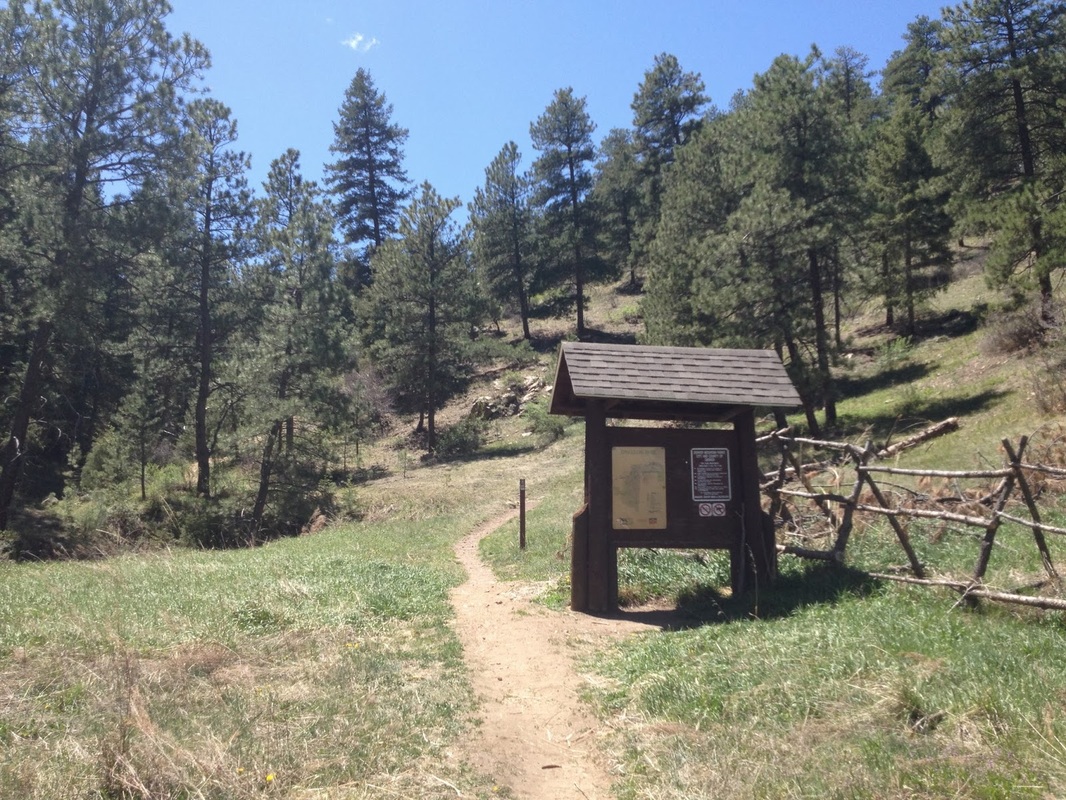
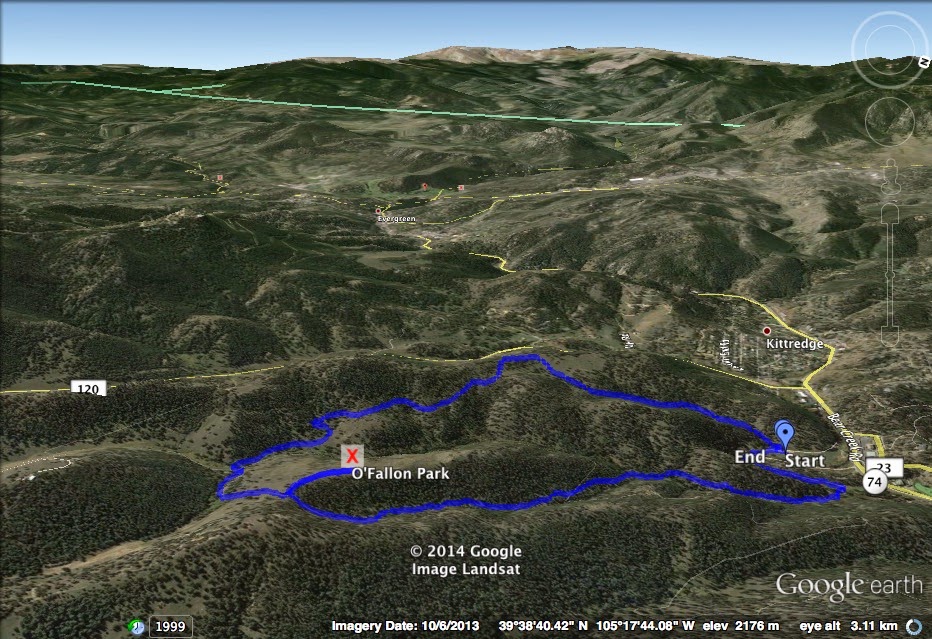
Directions:  From Morrison, head west on Bear Creek Road (74), past the Corwina Park Trailhead and turn left into the O'Fallon Park parking area.  This trail begins from the Picnic Loop trailhead and finishes at the Mountain View Loop trailhead.

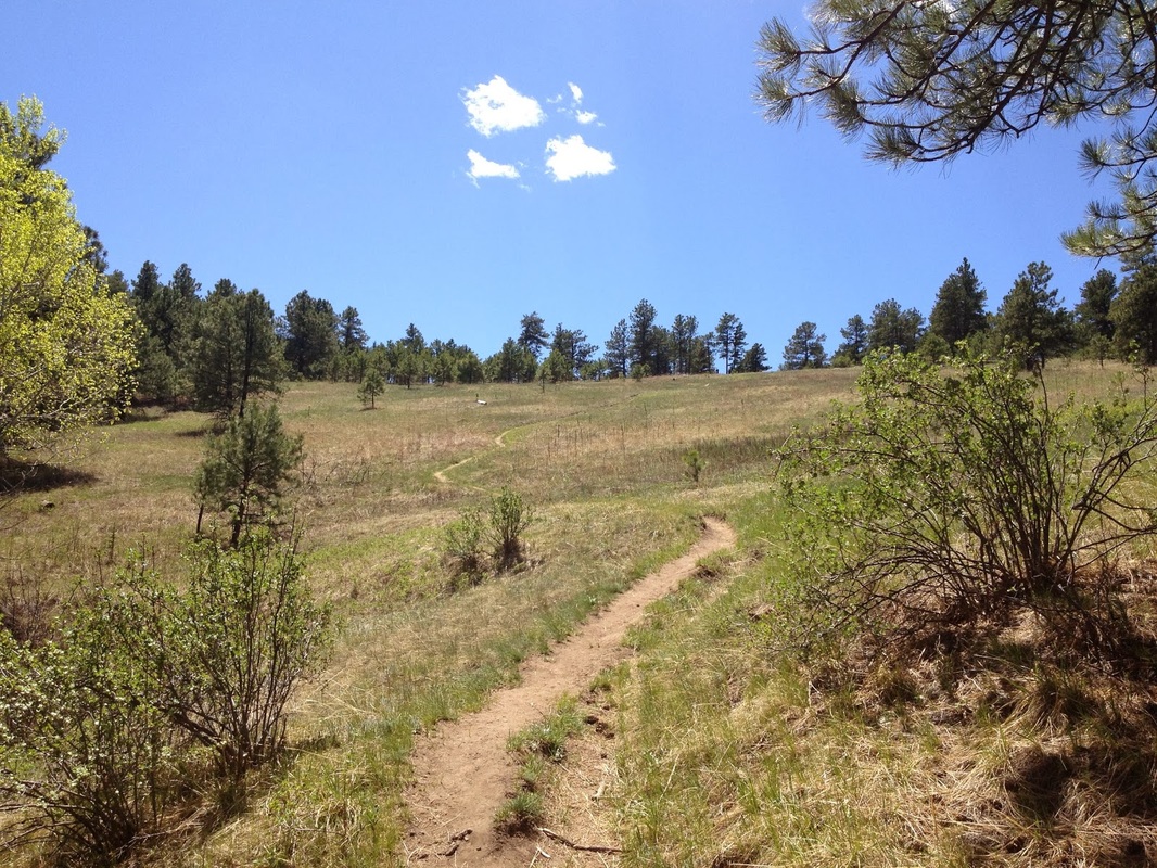
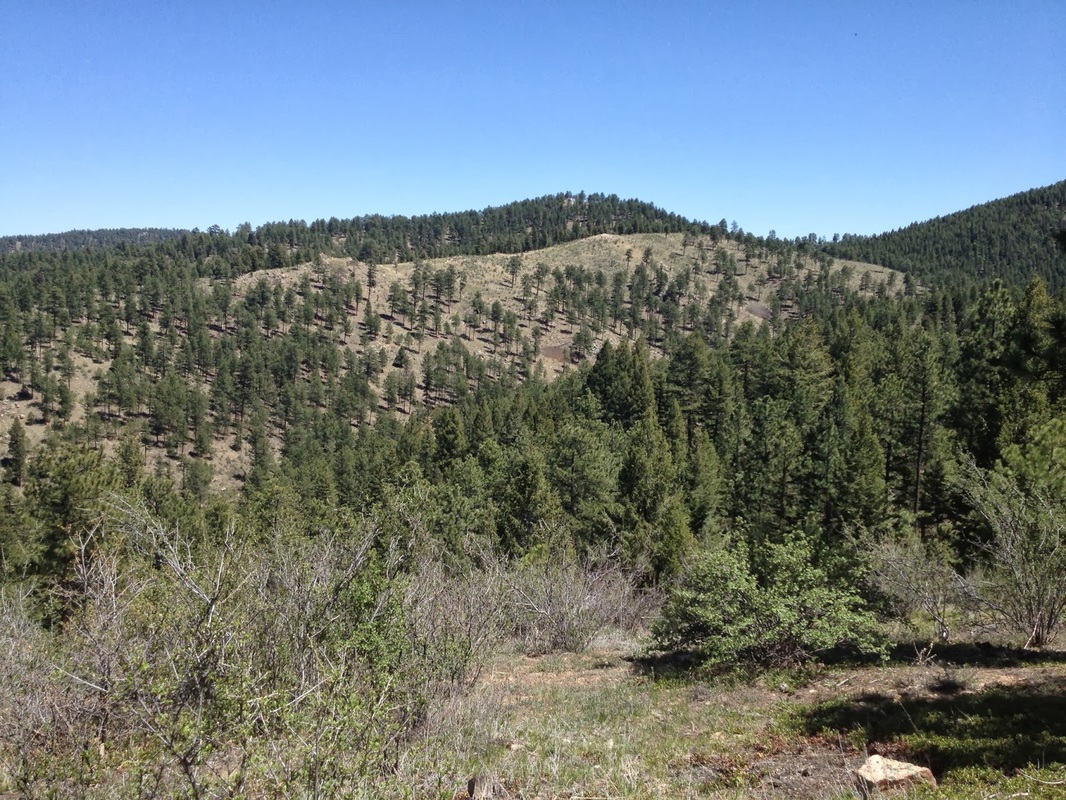
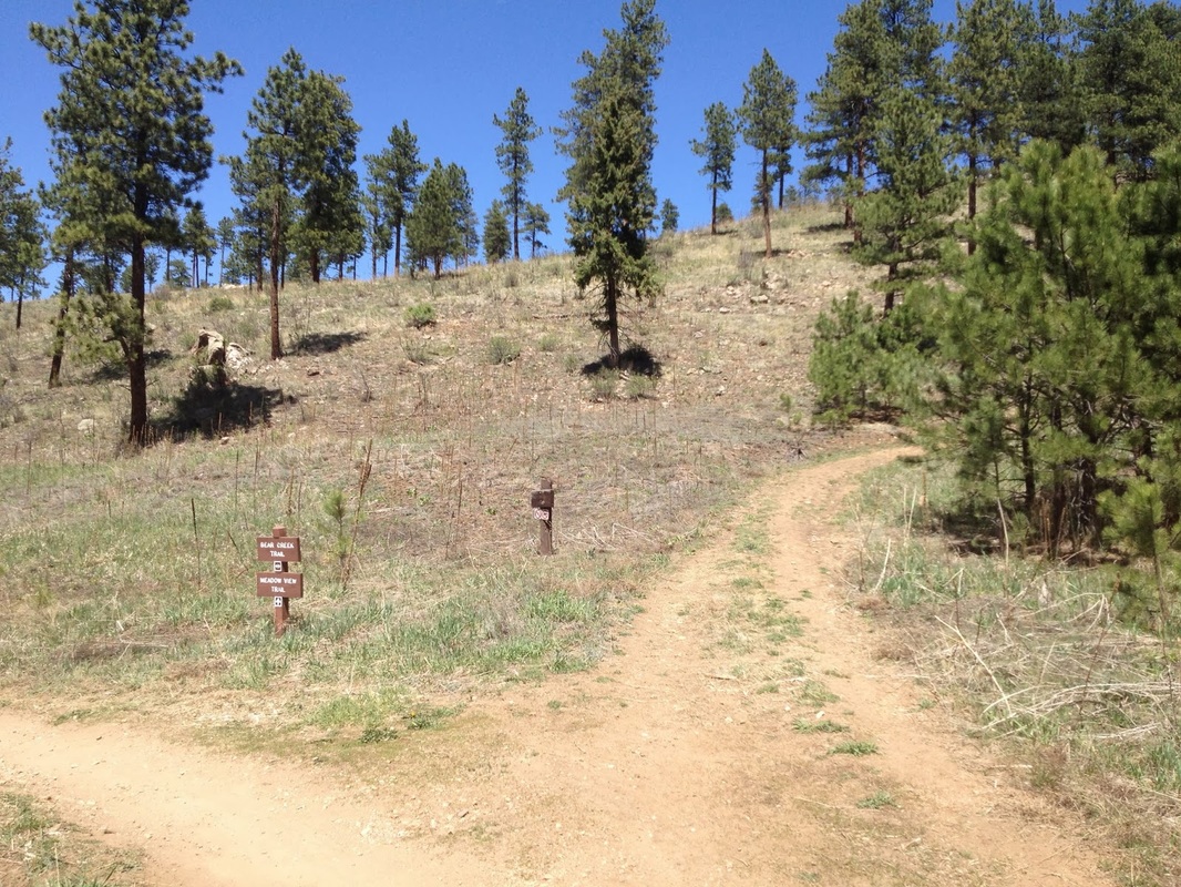
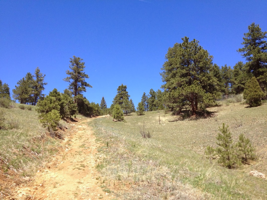
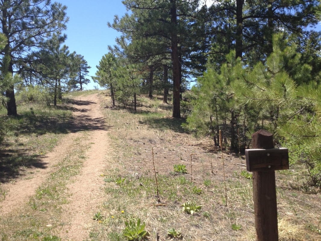
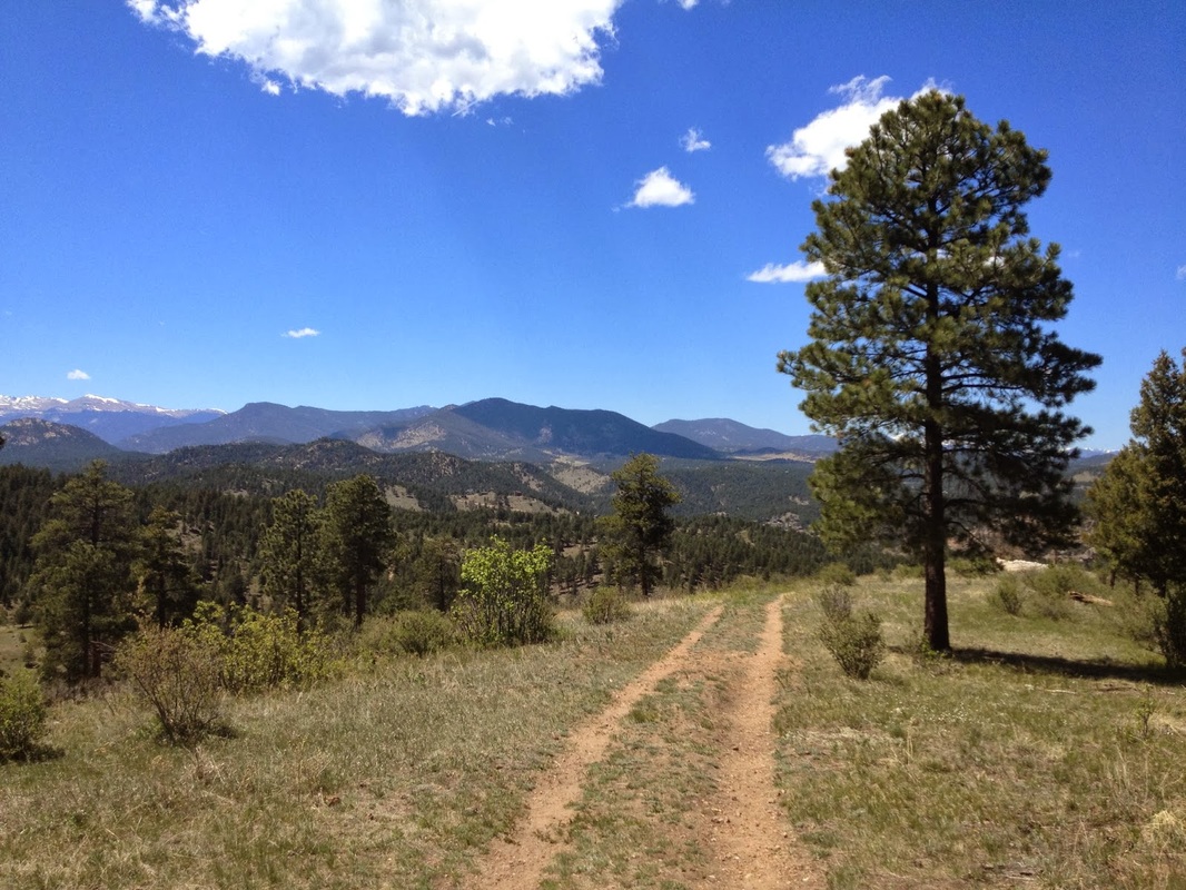
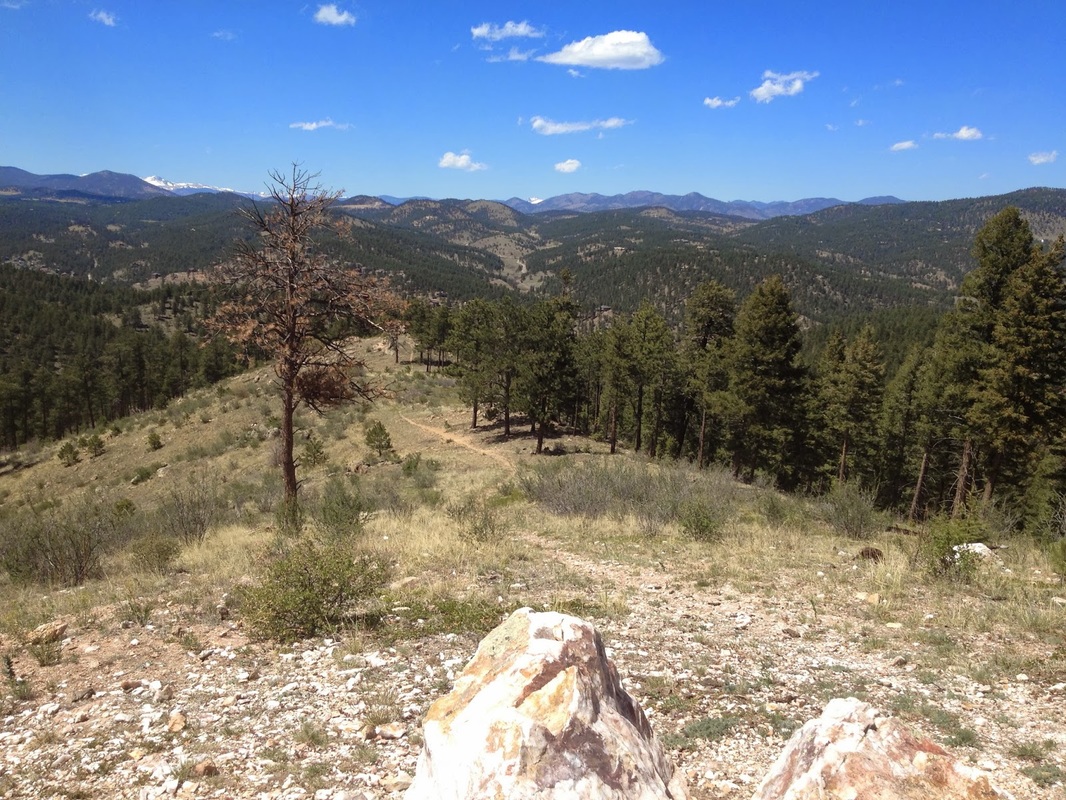
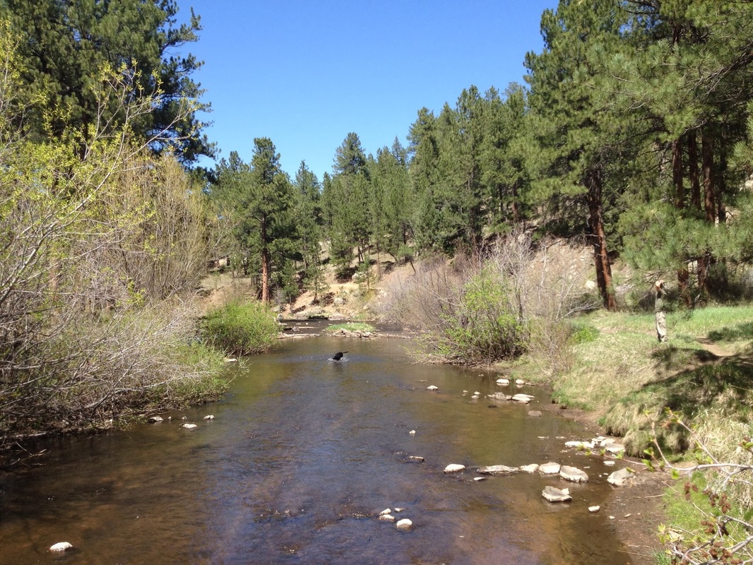
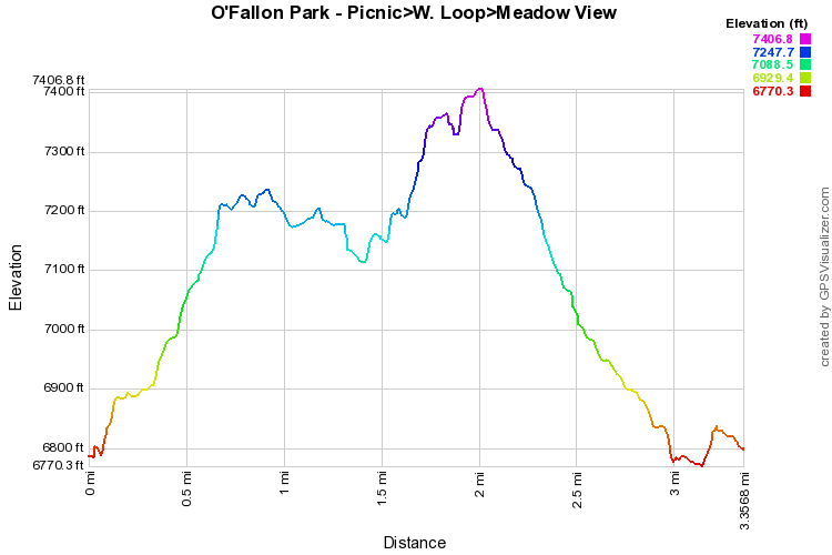
This hike is a combination of parts of the three O'Fallon Park loop trails and makes for a wonderful hike through the rolling foothills with a great view of Mount Evans as your midway destination. 

Start by following the Picnic Loop trail to the intersection with the West Ridge Loop.  Bear left onto the West Ridge Loop and follow this trail to the Meadow View Loop.  Hang a right onto the Meadow View Loop and soon you will start a steep uphill section.  Look for the "vista" sign and make a left onto the vista spur trail.  This short diversion takes you to a Quartz outcropping with a wonderful view of Mt. Evans on a clear day.  Personally, I prefer this view to the nearby (and more popular) Panorama Point. 

Head back to the Meadow View Trail and this time make a left.  Continue the Meadow View Loop, passing the Bear Creek Trail.  Stay straight on the Meadow View Loop all the back to the parking lot. This combination of loops takes you through the heart of O'Fallon park, but each loop is individually worthwhile for hiking.   
© Go Hike Colorado, 2020.  All Rights Reserved. 
Use of photographs without prior authorization is
​strictly prohibited.


Contact us at:
[email protected]
Legal Disclaimer - Information provided on this site is based upon our own observations, always double check information with the appropriate land management agency before heading into the backcountry.  Backcountry travel is inherently dangerous, please take all proper precautions.  Go Hike Colorado is not responsible for injury or incident.