|
|
|
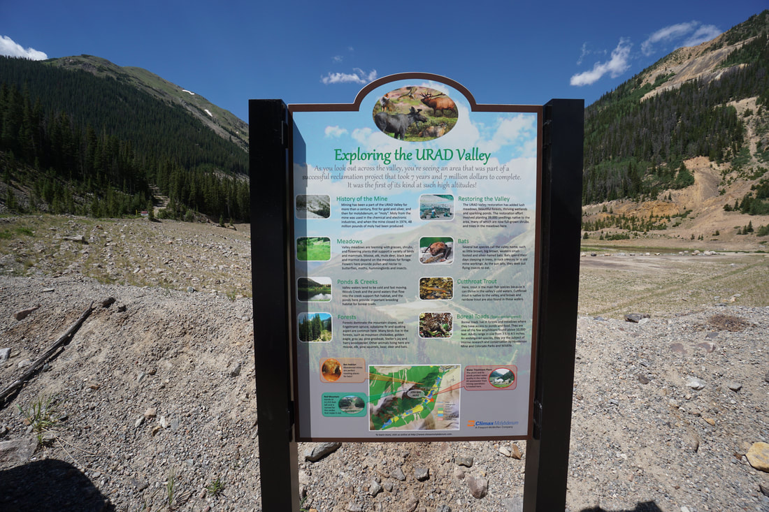
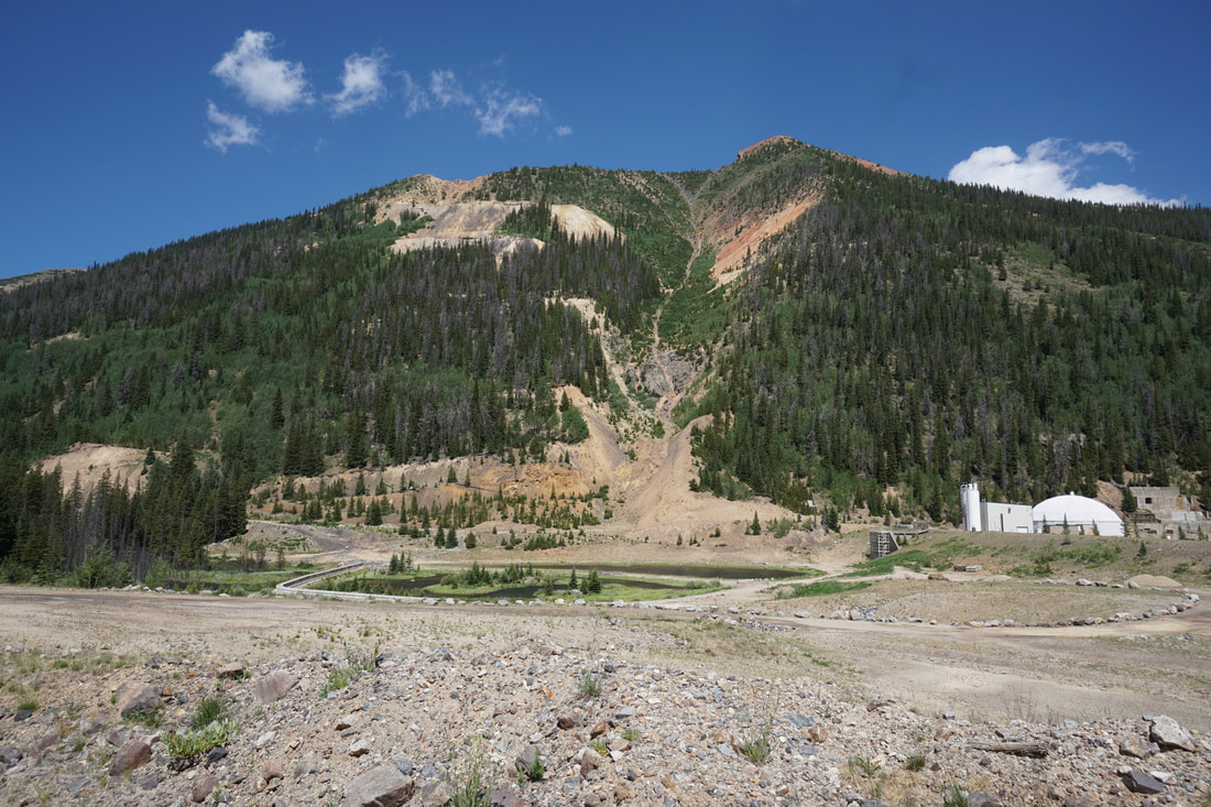
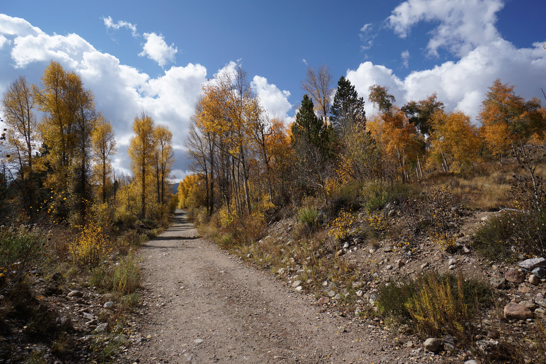
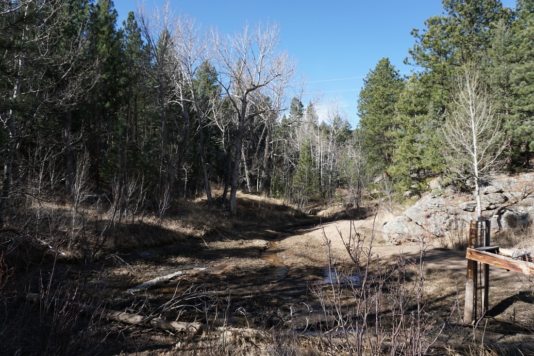
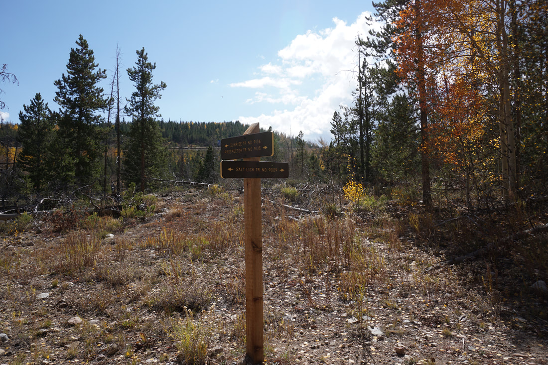
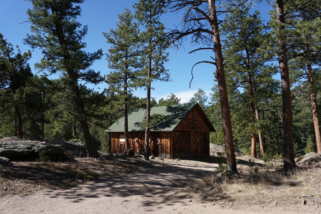
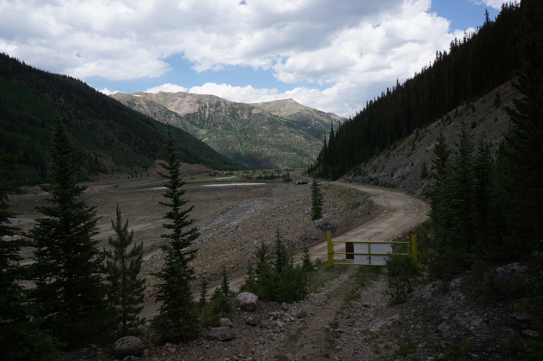
DIRECTIONS: From I-70 exit at US 40 and follow it through the towns of Empire and Berthoud Falls to "Big Bend," the large switchback before heading up to Berthoud Pass. Exit US 40 at the signs for Big Bend and follow the road towards the Henderson Mine and the Parking area for Jones Pass. Just before the mine, turn left at the sign for Urad. You are now on Woods Creek Road. Follow the good dirt road past the mine's retention ponds. Before too long you'll see a parking area on the right and the gated road just up from the parking area on the left. Park here and walk up to the gated road which is the Ruby Creek Trail.
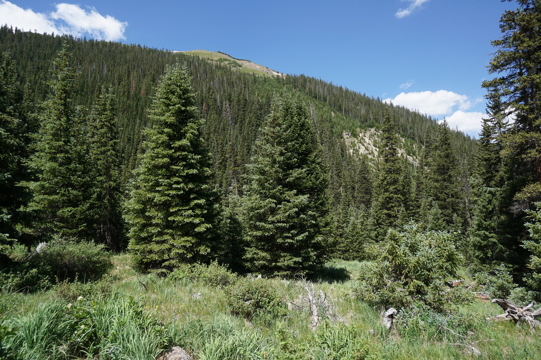
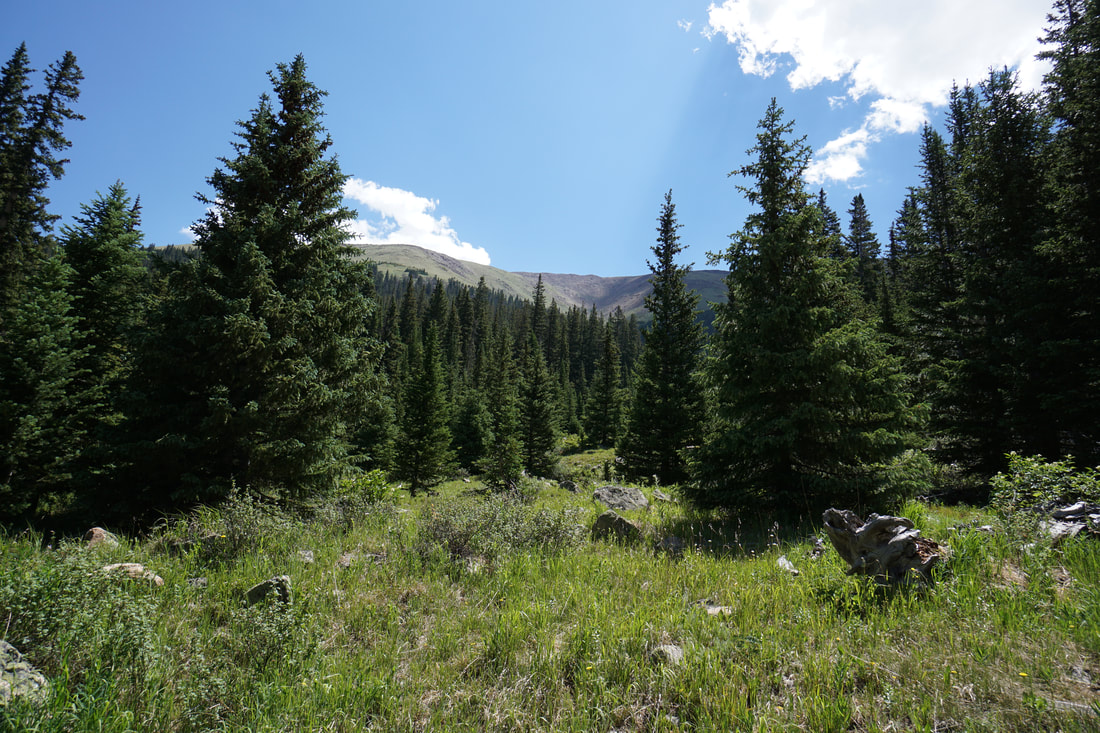
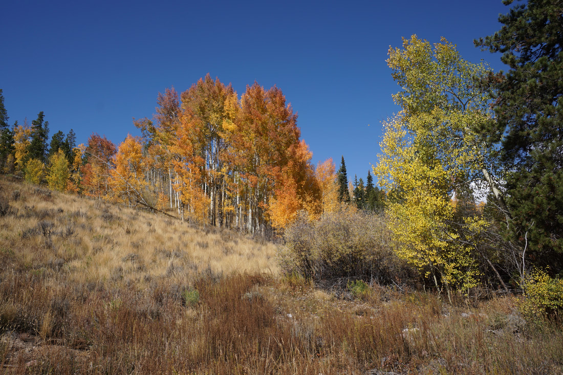
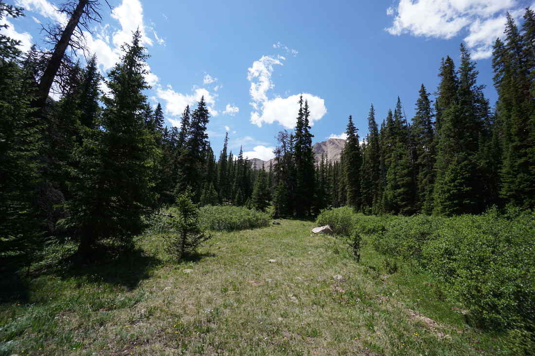
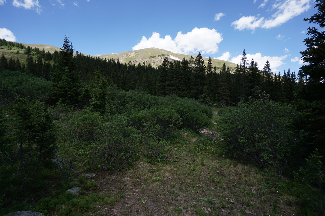
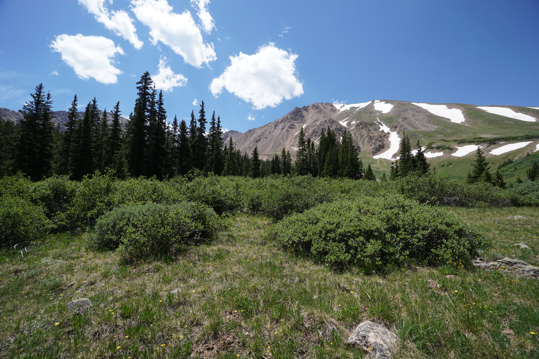
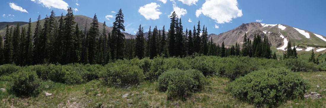
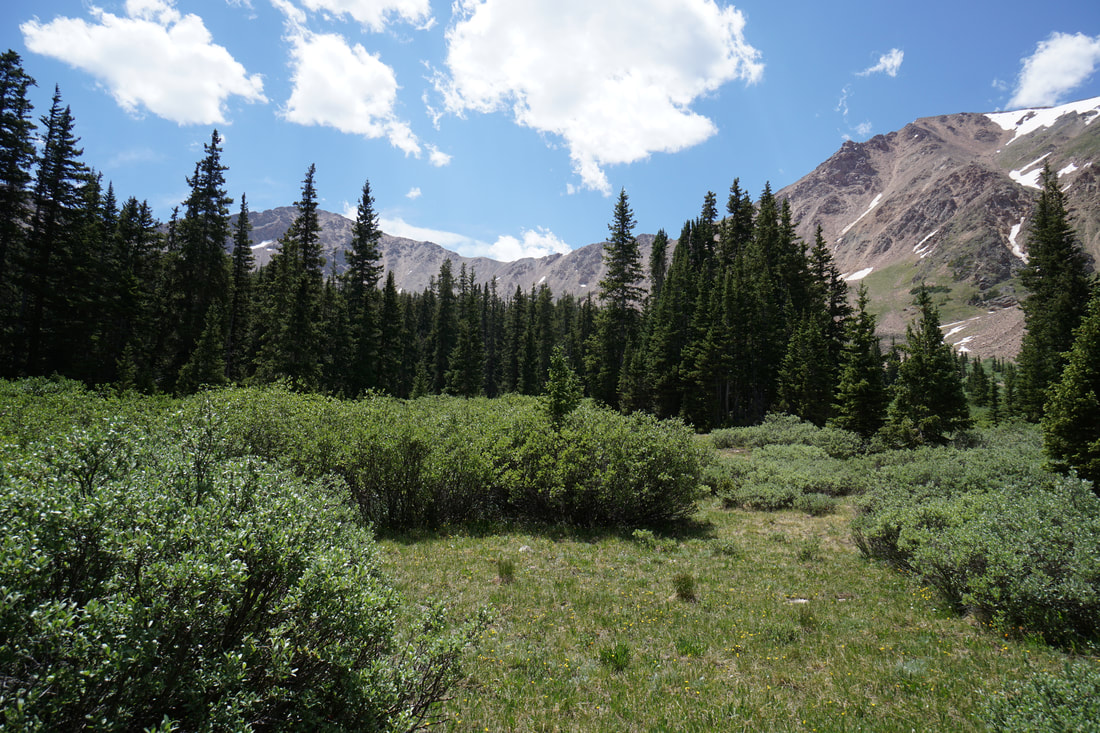
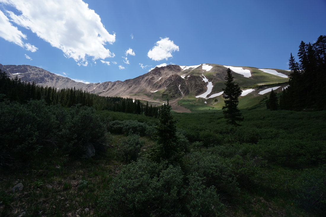
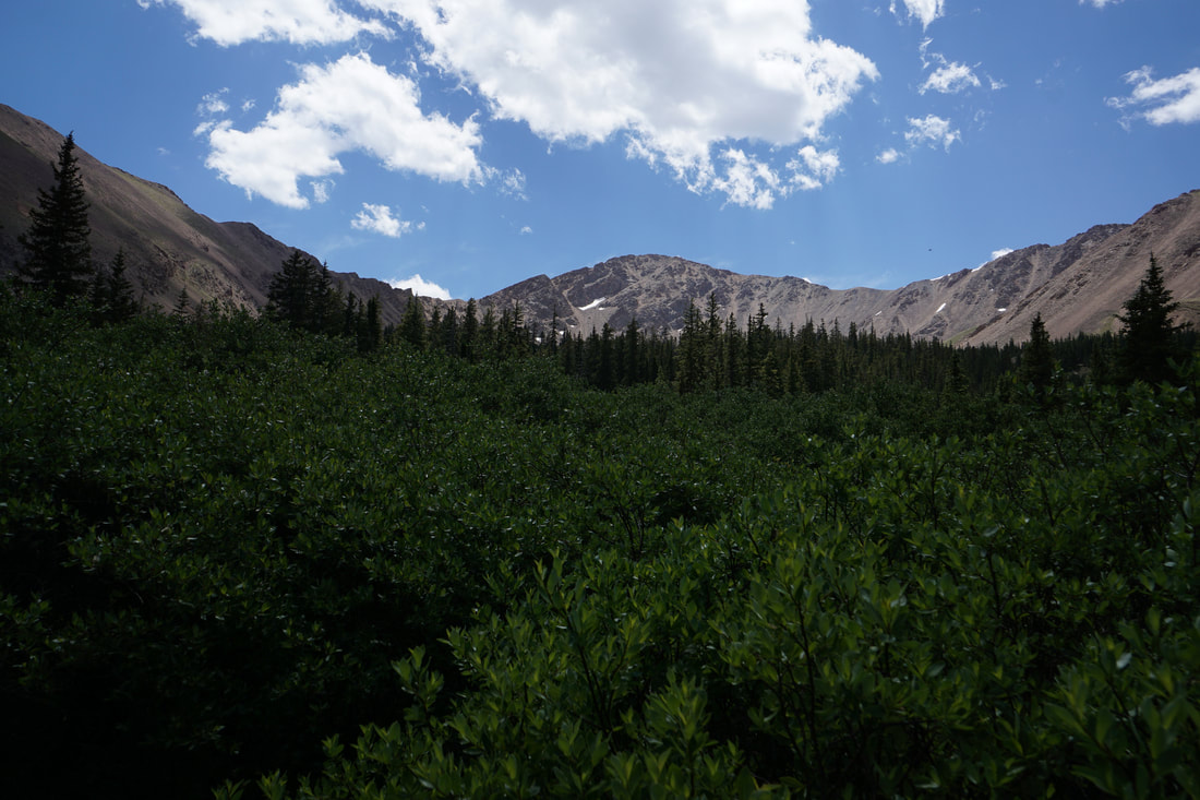
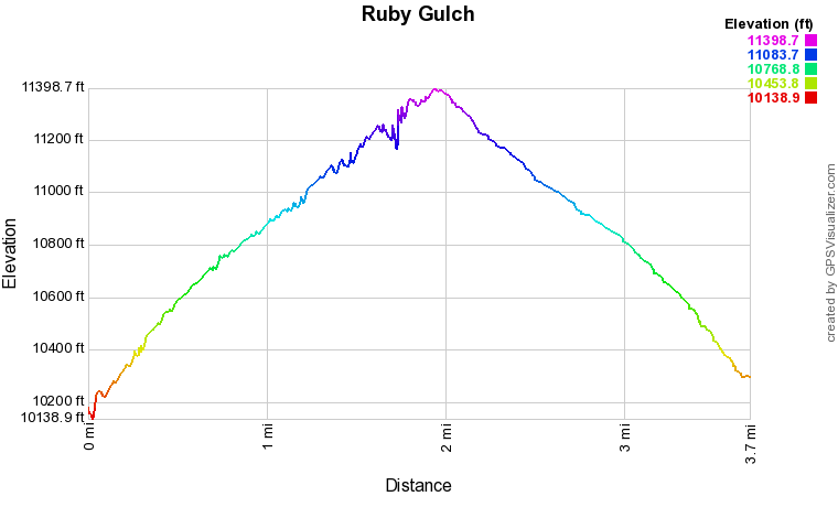
The Ruby Gulch Trail follows an old mining road along Ruby Creek to an alpine basin surrounded by 13,000+ ft peaks, Englemann Peak, Bard Peak, and Mount Parnassus and 12,940 ft Woods Mountain. The hike is easy to follow all the way to the basin and makes for a great half day hike. This trail sees far less visitation then nearby hikes like Butler Gulch and makes for a great alternative in the summer and fall. In the winter, this trail is used by backcountry skiers, just beware of avalanches…
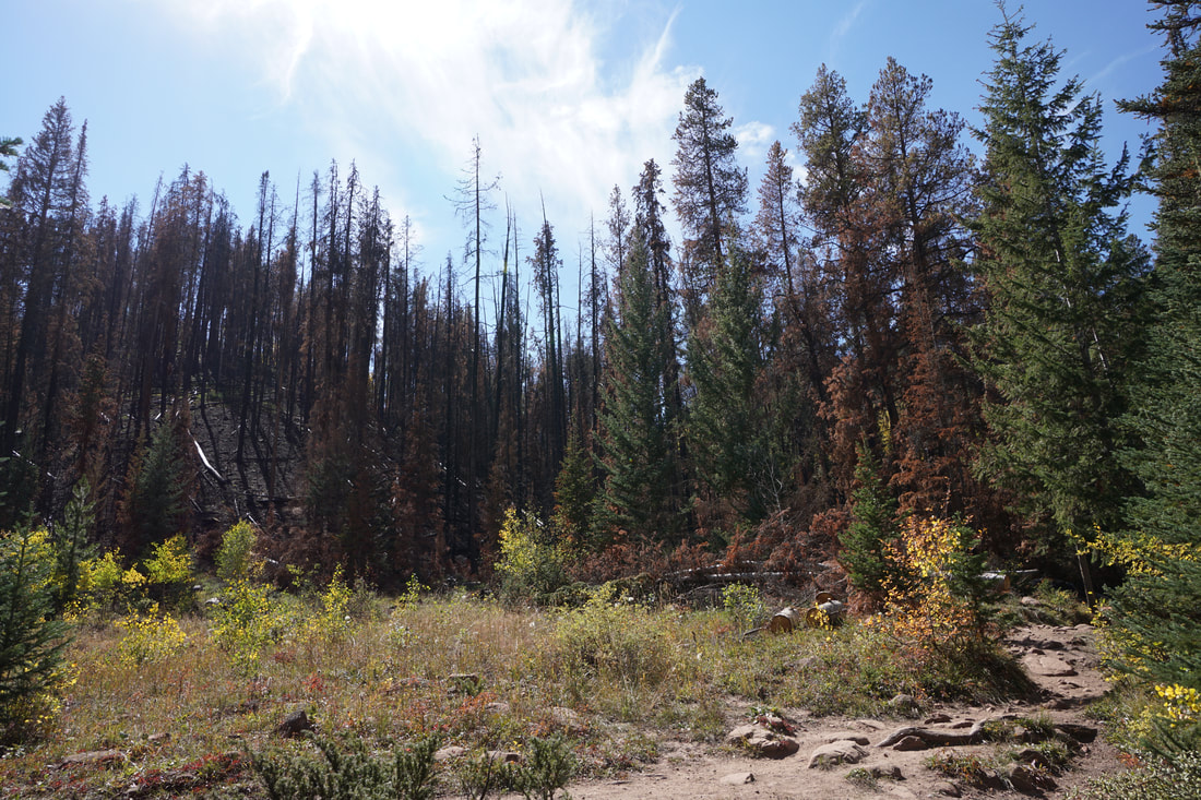
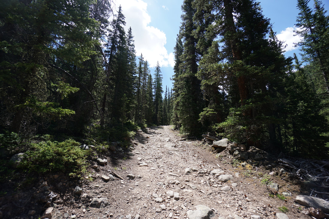
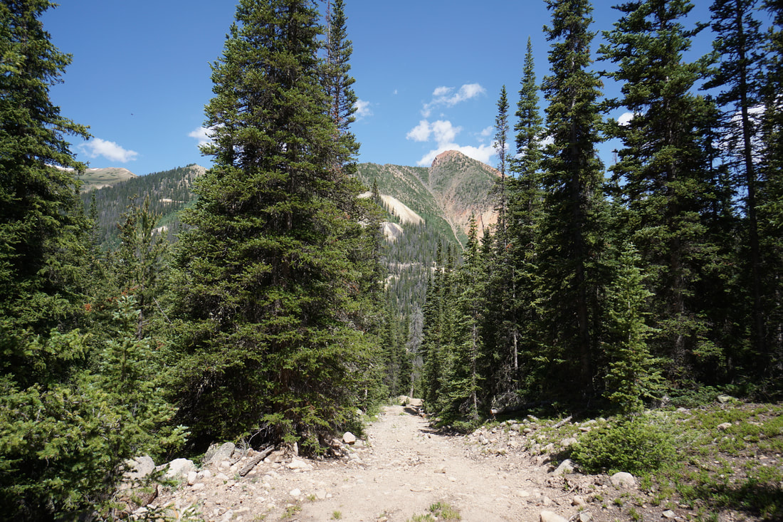
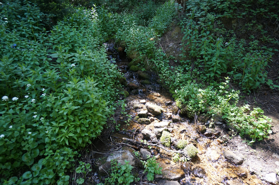
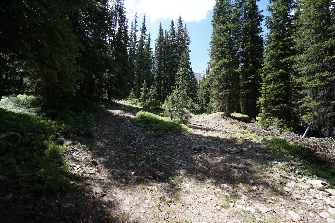
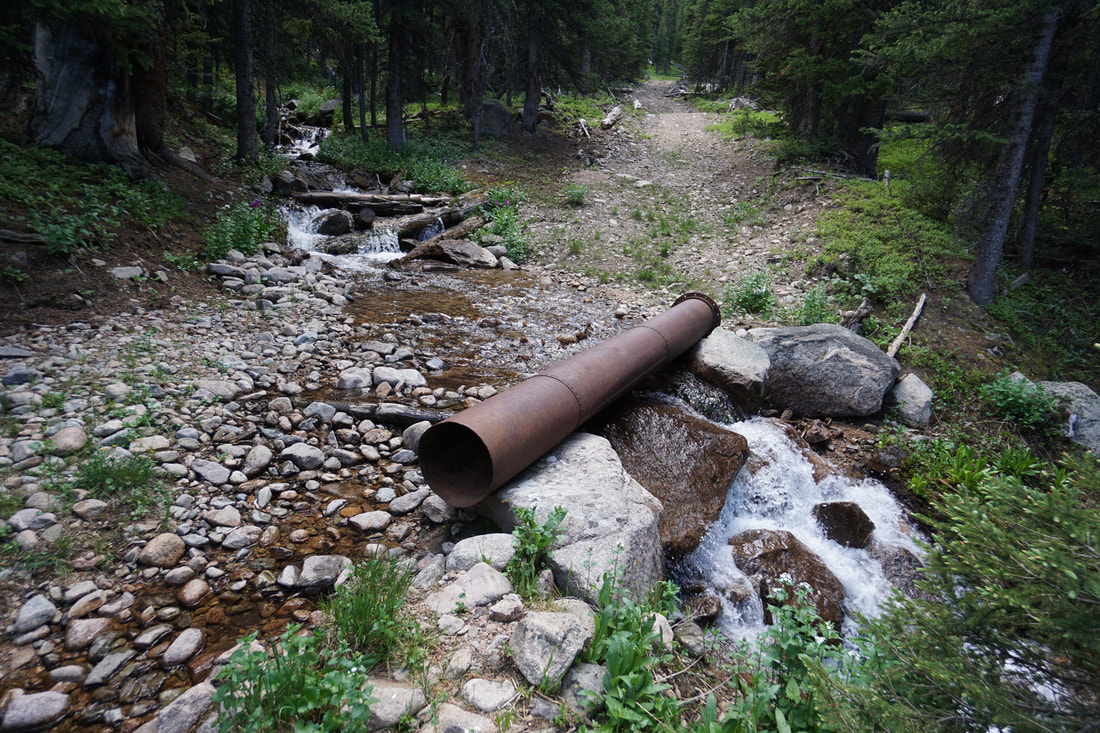
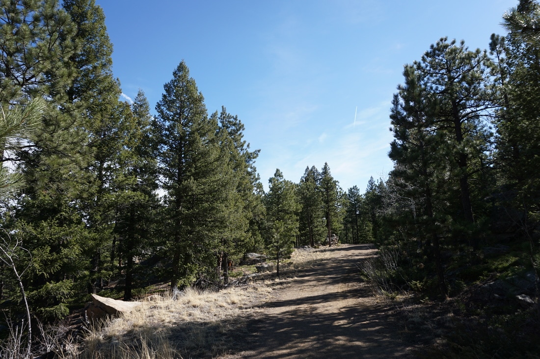
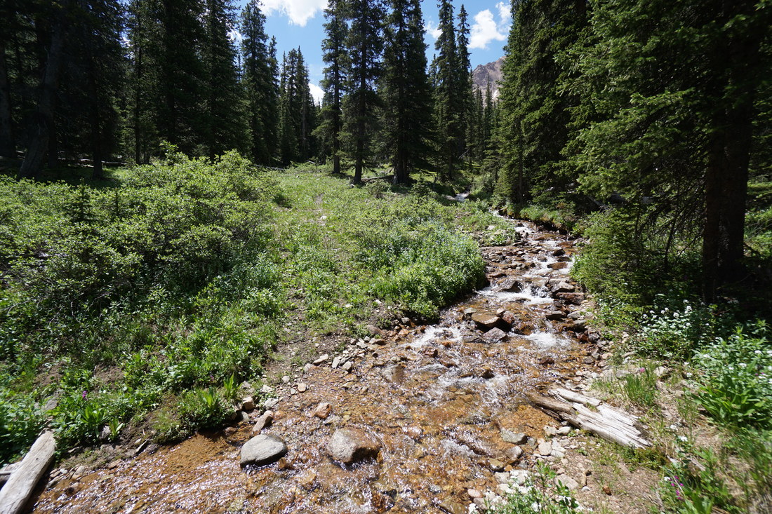
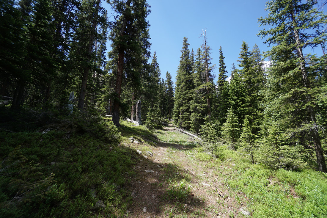
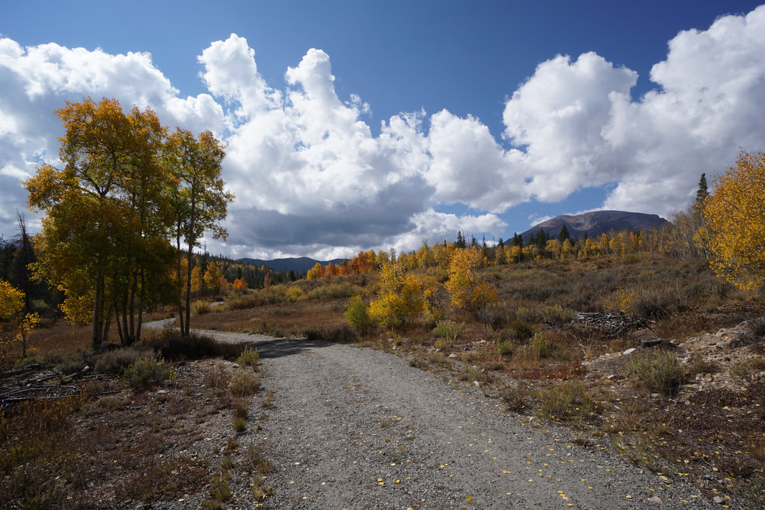
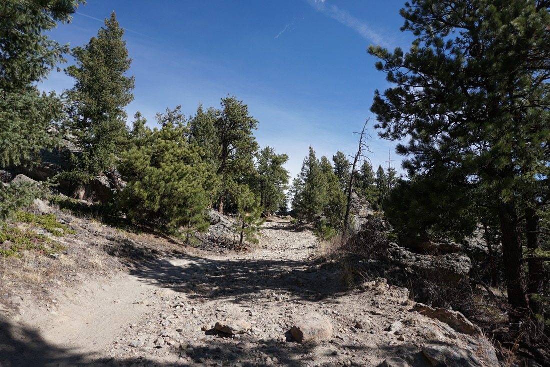
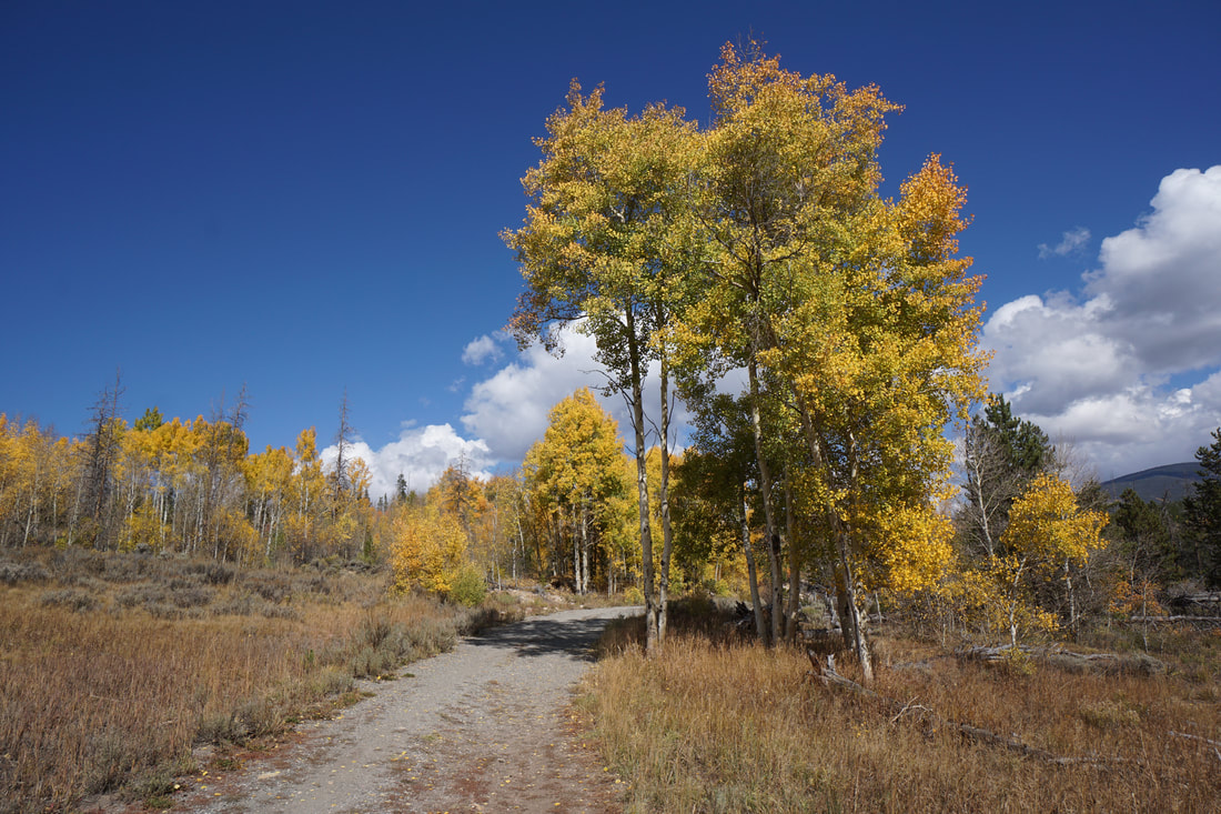
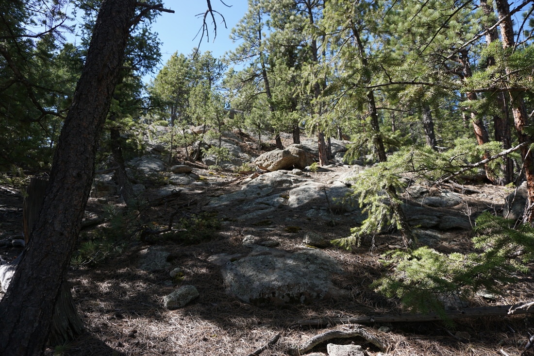
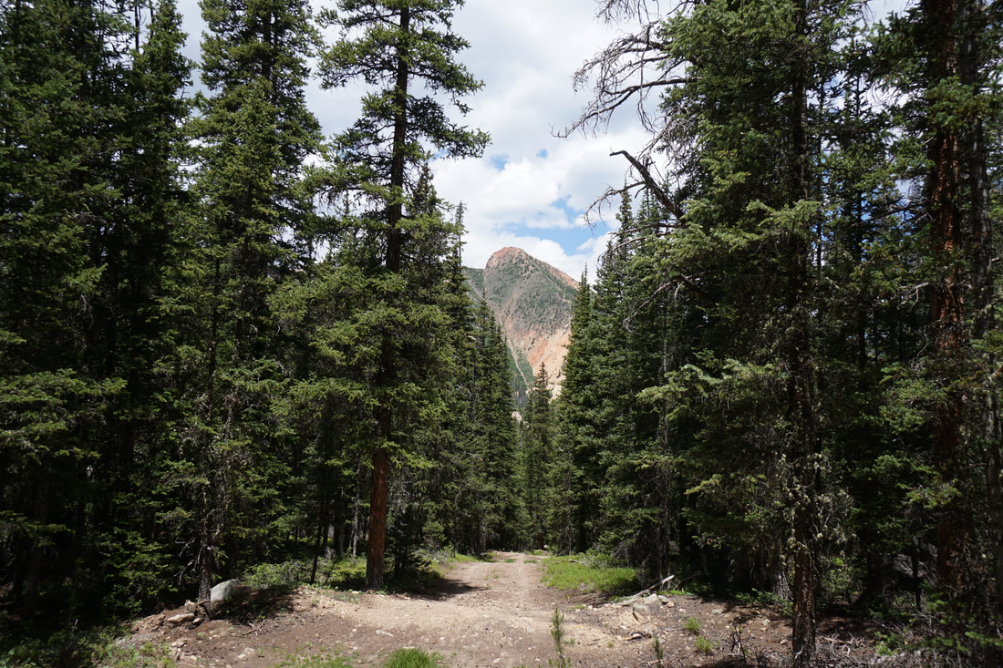
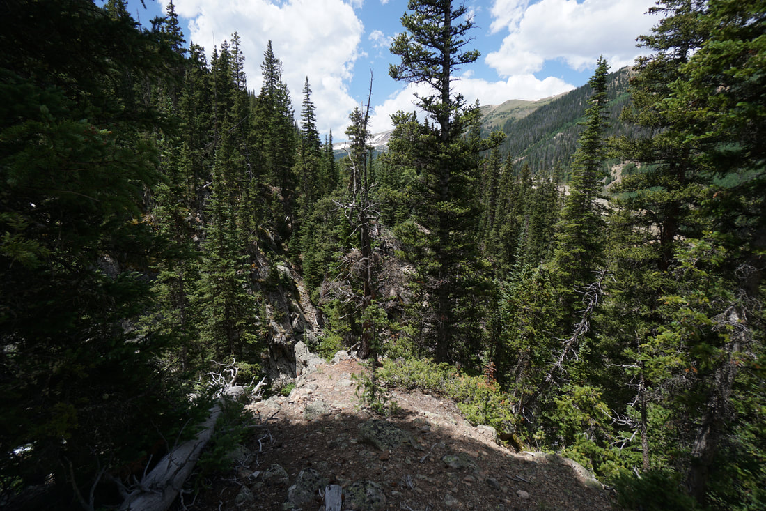
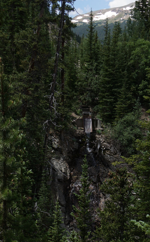
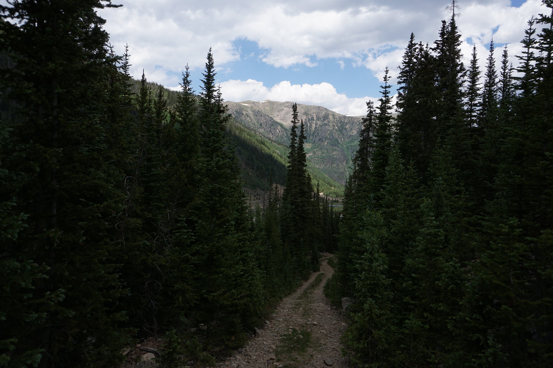
From the parking area on Woods Creek Road, pass the closed gate and hike up the steep rocky road. To the west there is a deep, narrow gorge, with cascades and waterfalls but views are hard to come by due to the dense evergreen vegetation. After a little more than half a mile, the road mellows out and the hiking gets a bit easier. At .8 miles from the gate, the road splits, stay straight as the left fork ends shortly. The next half mile of trail, crosses various tributaries of Ruby Creek and has some very pretty spots. Up to this point, most the trail cuts through dense forest, but in this section the views start to open up. Mount Parnassus becomes visible, wildflowers become plentiful, and you’ll start to understand why you are hiking here. At the 1.5 mile mark, the trail crosses Ruby Creek and heads into the basin as you wonder at the surrounding peaks. The trail dips down to another creek and stops among a maze of dense willows. This is a lovely spot and ideal for setting up camp. The views of Parnassus are incredible and the rocky ridge leading to Bard Peak is amazing. This is a perfect destination and a worthy end point for your hike. If you have a little more time and energy, you can continue by bushwacking along Ruby Creek, or through the willows. If you follow Ruby Creek for another .4 mile you’ll reach the upper basin at the base of Bard Peak and will surely find some amazing views. On this hike, I ran out of time and did not make it to the upper portion of the basin but I will come back and explore this basin more in the near future. Give yourself plenty of time as the bushwacking makes progress slow. This basin is spectacular and easily accessed. The lack of visitors allows for some solitude and makes Ruby Gulch a worthy alternative to the area’s busier hikes. |
|